Archiv - Nach Datum
Archiv - Nach Aktivität
-
Andere Tour (3)
- Kayaking (3)
-
Fahrradtour (108)
- Fahrradtour Straße (83)
- Fahrradtour gemischt (25)
-
Fahrzeugtour (9)
- Autotour (9)
-
Fußtour (1870)
- Bergtour (1109)
- Jogging (1)
- Spaziergang (55)
- Wanderung (705)
-
Skitour (115)
- Langlauf (47)
- Tourenskilauf (68)
Gesammelte Listen
-
Utvalgte topper og turmål i Bergen
(346/347)
 99%
99% -
Alle topper i Bergen
(391/398)
98%
-
Voss ≥ 100m pf.
(96/98)
97%
-
Opptur Hordaland
(144/159)
90%
-
Stasjoner på Bergensbanen
(31/40)
77%
-
Ulvik ≥ 100m pf.
(28/38)
73%
-
Hordaland ≥ 100m pf.
(619/863)
71%
-
Mjølfjell PF > 100m
(21/31)
67%
-
Jondal ≥ 100m pf.
(15/23)
65%
-
Dagsturhyttene i Vestland
(36/61)
59%
-
Sunnhordland PF >= 100m
(105/186)
56%
-
Hordaland: Hardanger PF>=100m
(191/359)
53%
-
DNT-hytter i Hordaland
(23/45)
51%
-
Kvinnherad ≥ 100m pf.
(40/79)
50%
-
Sogndal ≥ 100m pf.
(23/81)
28%
-
Gulen ≥ 100m pf.
(14/54)
25%
-
Eidfjord ≥ 100m pf.
(10/42)
23%
-
Vik i Sogn ≥ 100m pf.
(10/46)
21%
-
Sogn - Sør for Sognefjorden PF>=100m
(30/159)
18%
-
DNT-hytter i Sogn og Fjordane
(8/47)
17%

Fjellveien
- Datum:
- 14.05.2023
- Tourcharakter:
- Wanderung
- Tourlänge:
- 1:25h
- Entfernung:
- 7,3km
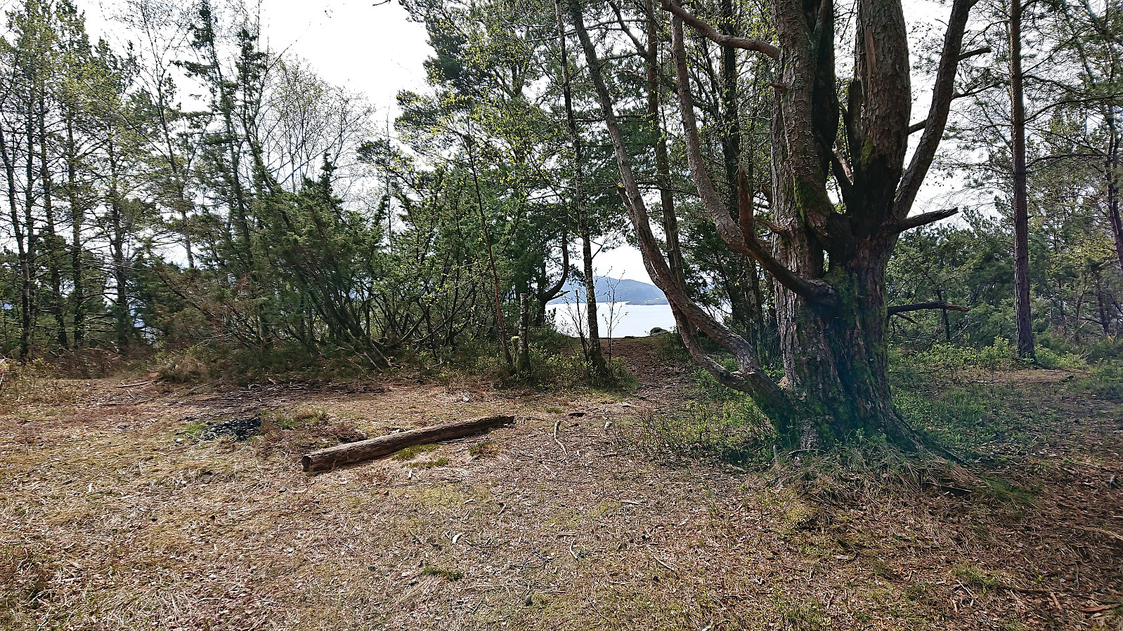
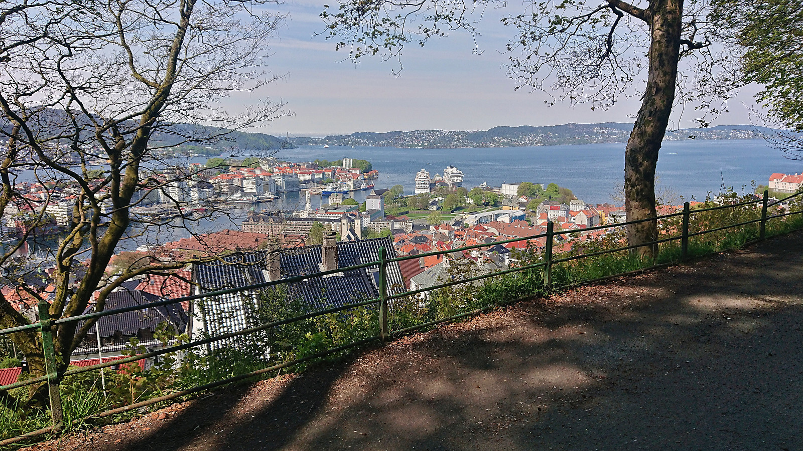 Only a short walk in Fjellveien today after spending most of yesterday on a skiing trip to Øykjafonn and Skipanuten .
Across Hellen festning
- Datum:
- 11.05.2023
- Tourcharakter:
- Wanderung
- Tourlänge:
- 0:35h
- Entfernung:
- 3,1km
 Short local evening hike.
Across Hellen festning
- Datum:
- 04.05.2023
- Tourcharakter:
- Wanderung
- Tourlänge:
- 0:40h
- Entfernung:
- 3,6km
 Short local evening hike.
Marøy
- Datum:
- 01.05.2023
- Tourcharakter:
- Wanderung
- Tourlänge:
- 1:14h
- Entfernung:
- 3,2km
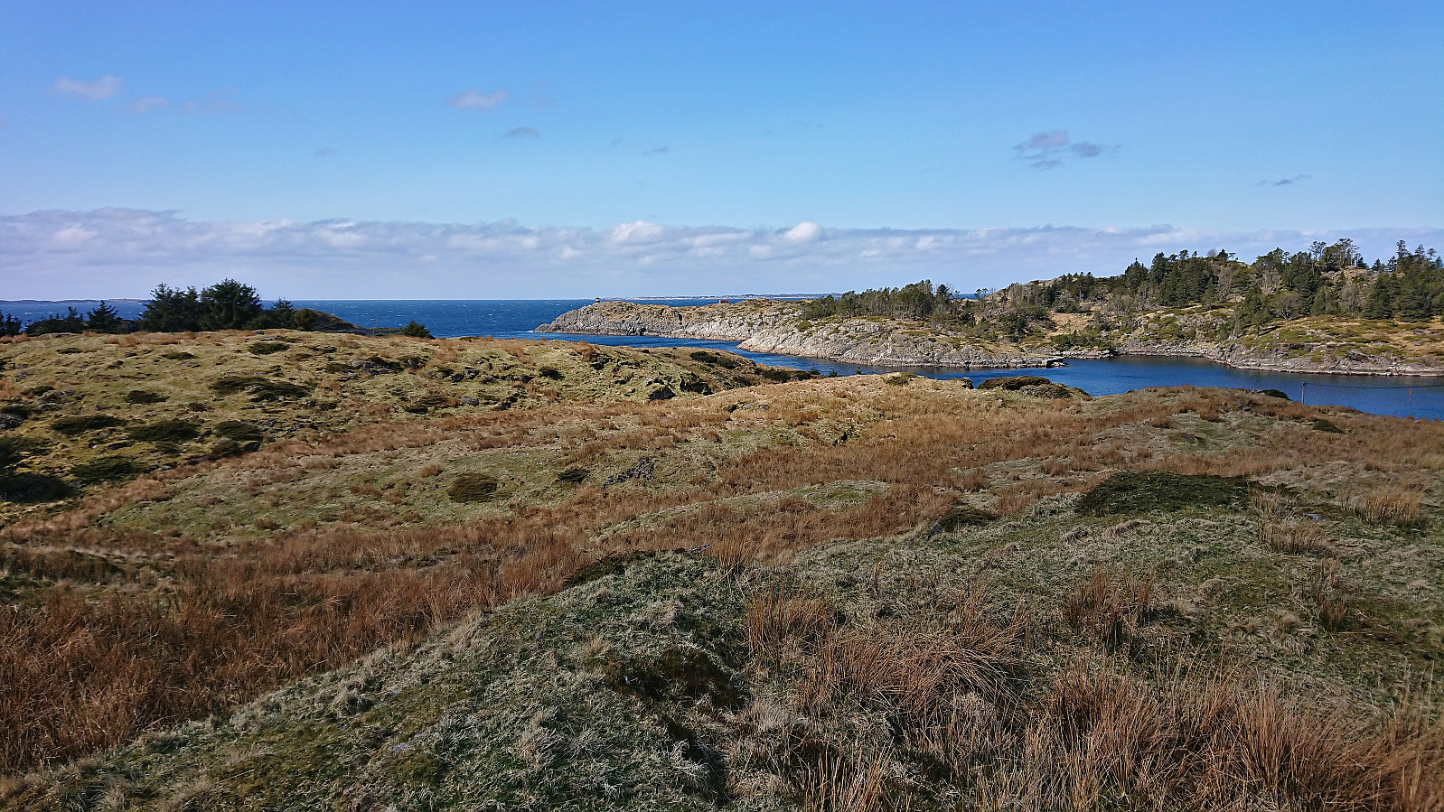 Upon completing our trip to Sjøbua , we decided to take inspiration from Kjell51 (Kjell Øijorden) 's earlier hike at Marøy . We therefore drove the short distance northeast to a parking lot intended for hikers and followed the trails west/northwest. Here there were lots of traces of buildings made by the Germans during the second world war. Again, the strong northerly wind reduced our desire to explore. I did however make a short detour on my own to the small lighthouse at the northwestern tip of the island, for some great views towards the sea and the island of Fedje. When returning to the parking lot, I also made a minor detour to visit the highest point on Marøy .
Sjøbua
- Datum:
- 01.05.2023
- Tourcharakter:
- Wanderung
- Tourlänge:
- 0:47h
- Entfernung:
- 2,2km
 After the short walk around Kvassnesstemma , we drove north to Radøy for a visit of Sjøbua . From the parking lot to the cabin there is only around 700 meters and, especially for the latter half, there is excellent views along the way. Excellent views from the cabin as well, although today a strong northerly wind cut our stay short. I did however do a quick detour on my own to the peninsula of Byngjo, before we all returned to the parking lot.
Skinstø søyle and Ranten
- Datum:
- 29.04.2023
- Tourcharakter:
- Wanderung
- Tourlänge:
- 1:04h
- Entfernung:
- 5,0km
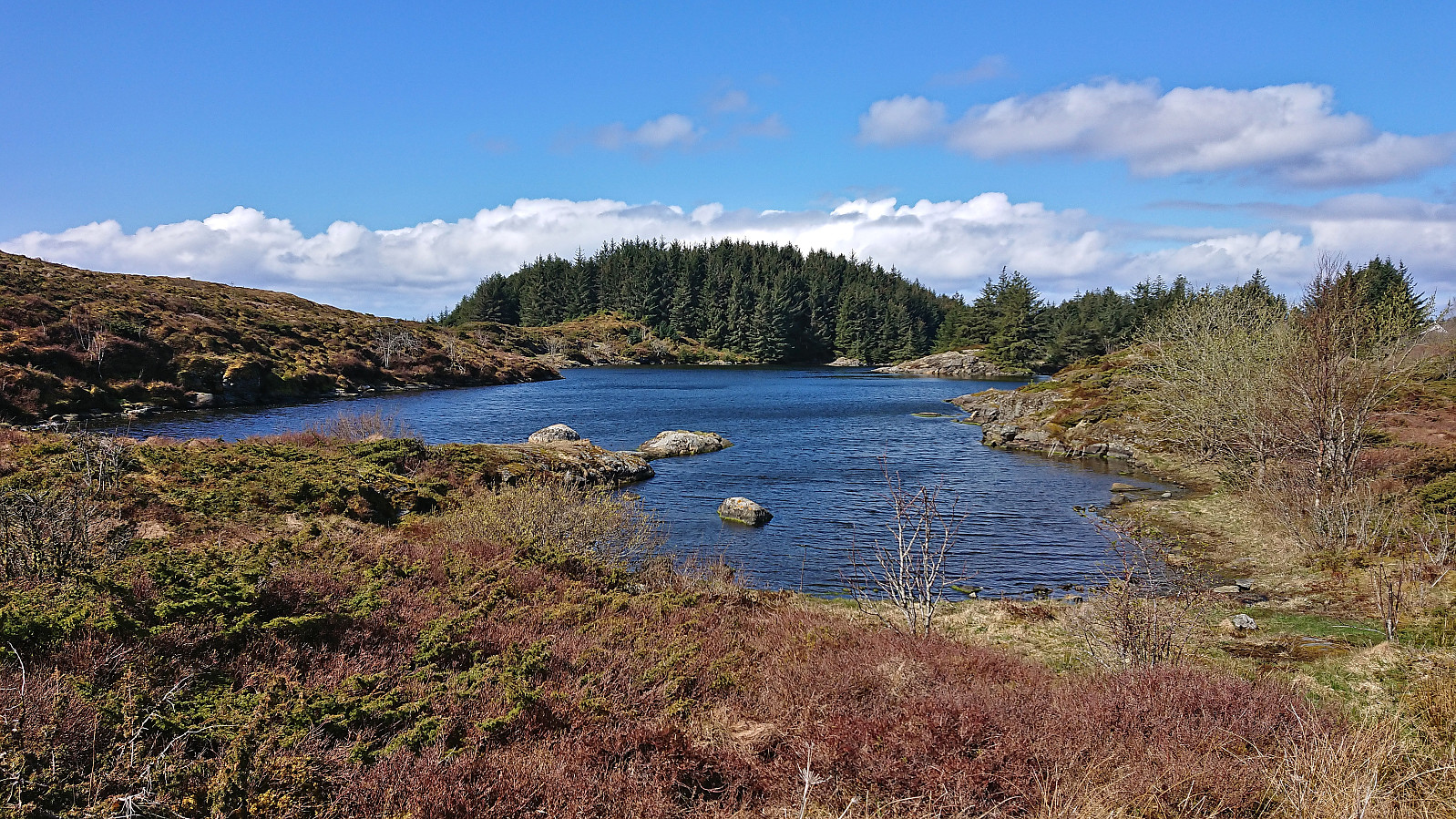
 Exploring Haukedalen in Åsane with short visits of both Skinstø søyle and Ranten . Both easily accessible by trails and both provided nice views.
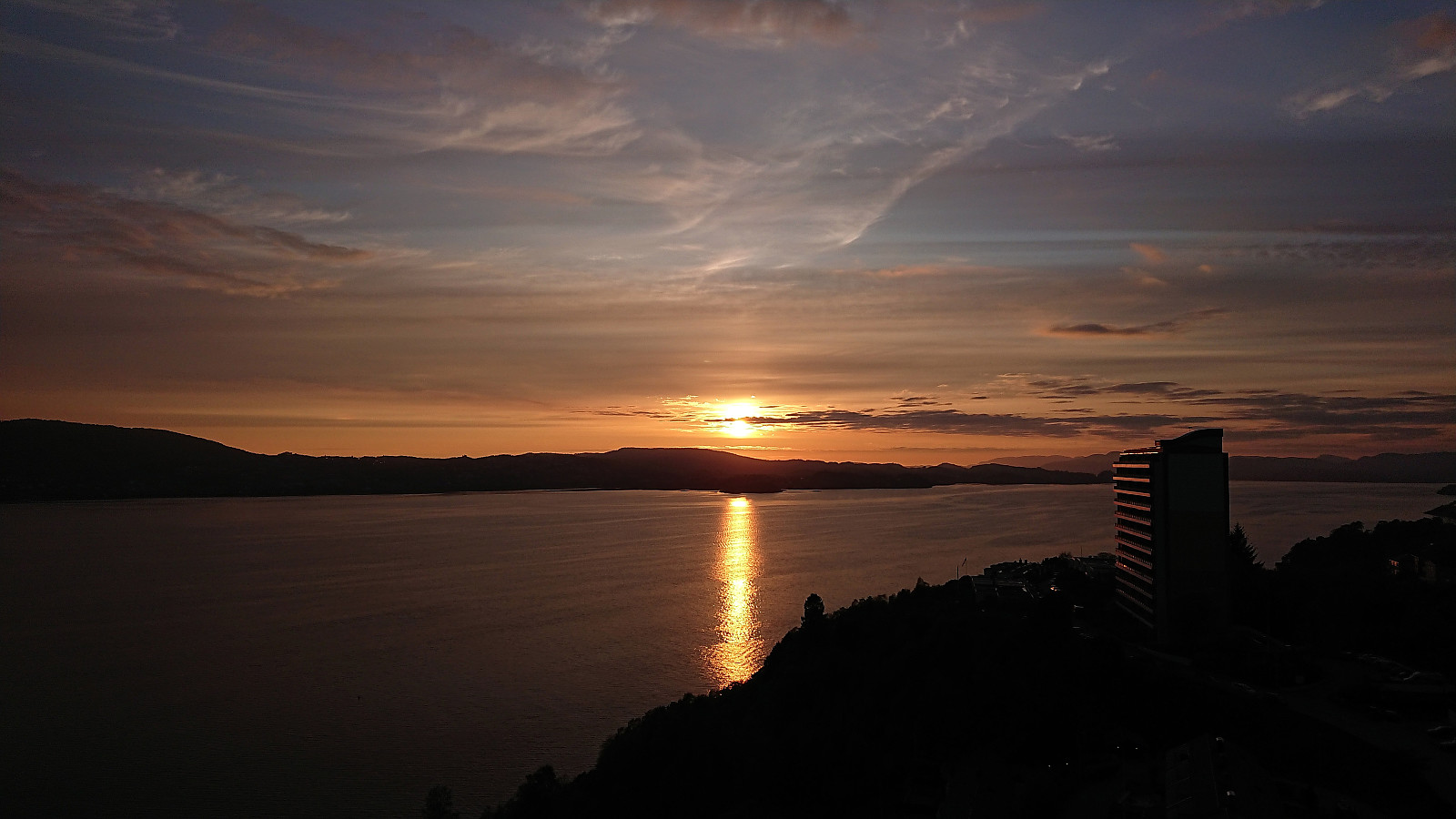
Across Hellen festning
- Datum:
- 25.04.2023
- Tourcharakter:
- Wanderung
- Tourlänge:
- 0:34h
- Entfernung:
- 3,1km
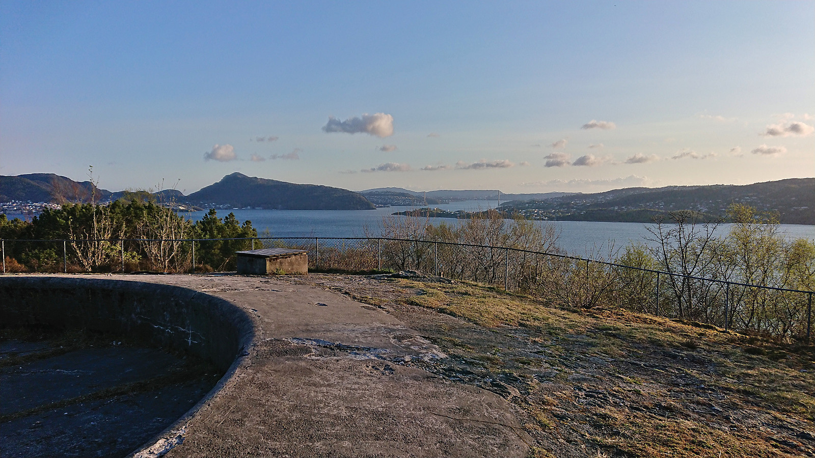 Short local evening hike.
Across Hellen festning
- Datum:
- 24.04.2023
- Tourcharakter:
- Wanderung
- Tourlänge:
- 0:35h
- Entfernung:
- 3,1km
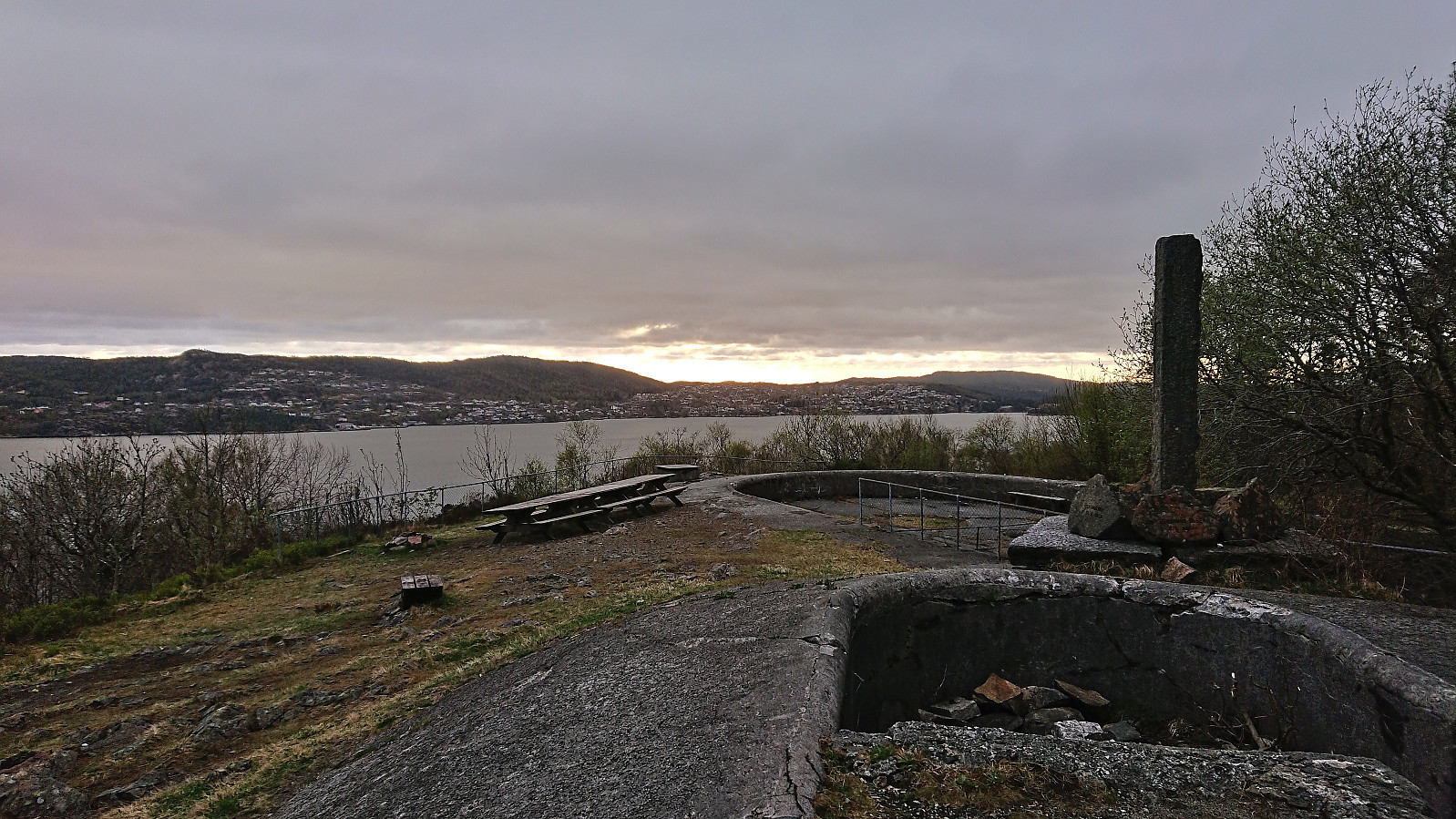 Short local evening hike.
Hellemyrstien
- Datum:
- 20.04.2023
- Tourcharakter:
- Wanderung
- Tourlänge:
- 1:01h
- Entfernung:
- 5,0km
 Short local evening hike.
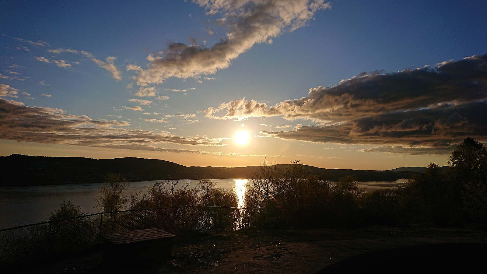
Across Hellen festning
- Datum:
- 19.04.2023
- Tourcharakter:
- Wanderung
- Tourlänge:
- 0:50h
- Entfernung:
- 3,8km
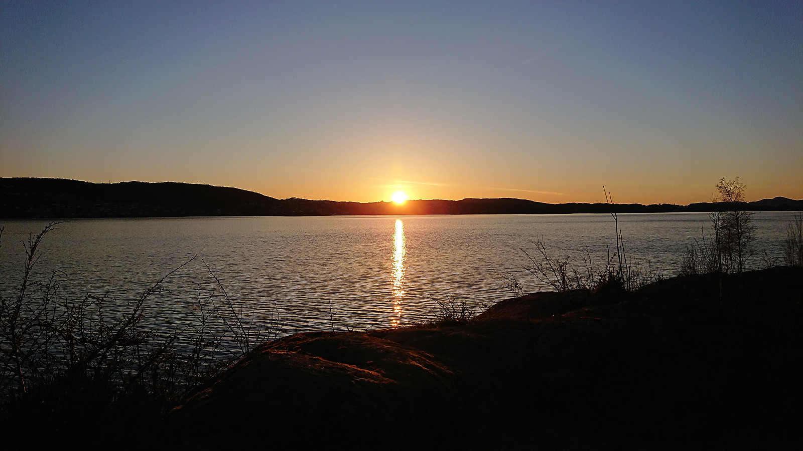 Short local evening hike just before sunset.
