Archiv - Nach Datum
Archiv - Nach Aktivität
-
Andere Tour (3)
- Kayaking (3)
-
Fahrradtour (108)
- Fahrradtour Straße (83)
- Fahrradtour gemischt (25)
-
Fahrzeugtour (9)
- Autotour (9)
-
Fußtour (1870)
- Bergtour (1109)
- Jogging (1)
- Spaziergang (55)
- Wanderung (705)
-
Skitour (115)
- Langlauf (47)
- Tourenskilauf (68)
Gesammelte Listen
-
Utvalgte topper og turmål i Bergen
(346/347)
 99%
99% -
Alle topper i Bergen
(391/398)
98%
-
Voss ≥ 100m pf.
(96/98)
97%
-
Opptur Hordaland
(144/159)
90%
-
Stasjoner på Bergensbanen
(31/40)
77%
-
Ulvik ≥ 100m pf.
(28/38)
73%
-
Hordaland ≥ 100m pf.
(619/863)
71%
-
Mjølfjell PF > 100m
(21/31)
67%
-
Jondal ≥ 100m pf.
(15/23)
65%
-
Dagsturhyttene i Vestland
(36/61)
59%
-
Sunnhordland PF >= 100m
(105/186)
56%
-
Hordaland: Hardanger PF>=100m
(191/359)
53%
-
DNT-hytter i Hordaland
(23/45)
51%
-
Kvinnherad ≥ 100m pf.
(40/79)
50%
-
Sogndal ≥ 100m pf.
(23/81)
28%
-
Gulen ≥ 100m pf.
(14/54)
25%
-
Eidfjord ≥ 100m pf.
(10/42)
23%
-
Vik i Sogn ≥ 100m pf.
(10/46)
21%
-
Sogn - Sør for Sognefjorden PF>=100m
(30/159)
18%
-
DNT-hytter i Sogn og Fjordane
(8/47)
17%

Fjellveien and Tippetue
- Datum:
- 14.02.2021
- Tourcharakter:
- Wanderung
- Tourlänge:
- 4:02h
- Entfernung:
- 16,8km
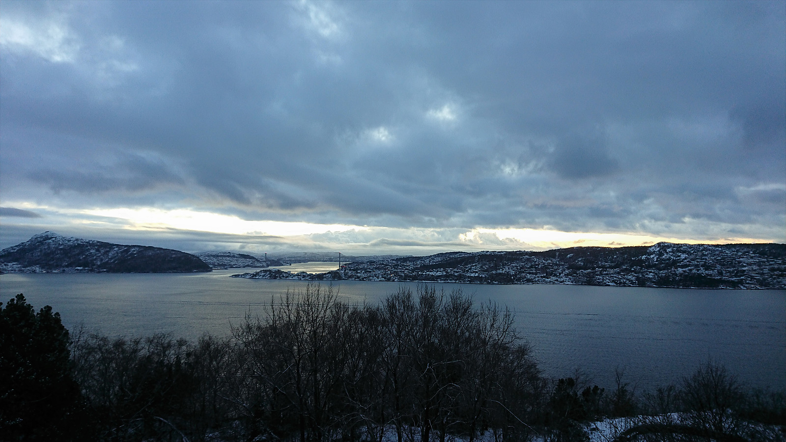
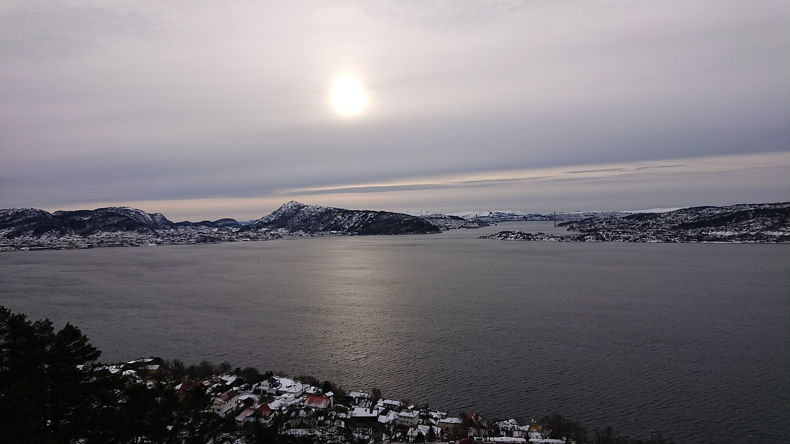 Traditional-looking Sunday hike via Fjellveien and Tippetue.
Across Hellen festning
- Datum:
- 12.02.2021
- Tourcharakter:
- Wanderung
- Tourlänge:
- 0:38h
- Entfernung:
- 3,0km
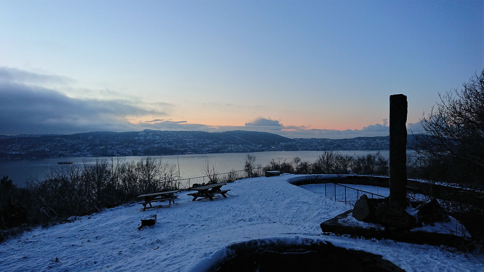
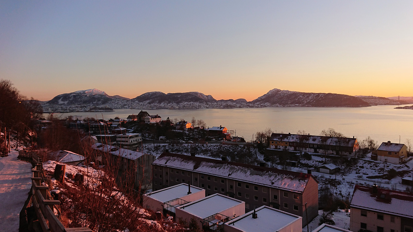 Short local hike as the sun was setting.
Gamle Bergen and Hellemyrstien
- Datum:
- 07.02.2021
- Tourcharakter:
- Wanderung
- Tourlänge:
- 1:40h
- Entfernung:
- 8,4km
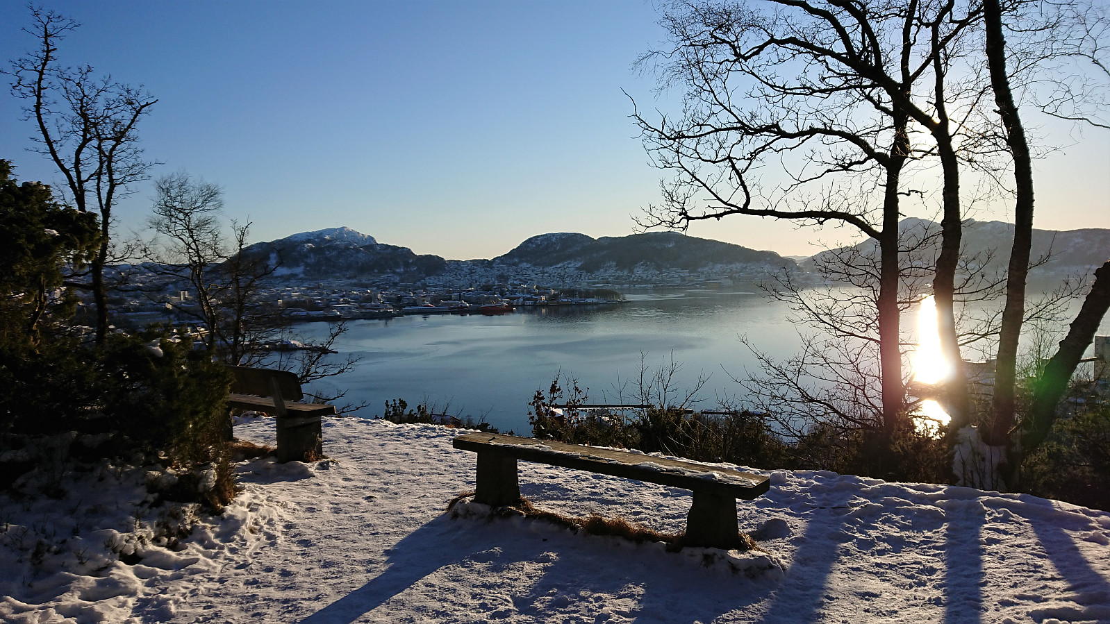 Shorter local hike after yesterday's long skiing trip across Vidden.
Note: The GPS for some reason stopped recording somewhere on my way down to Lønborglien.
Shorter local hike after yesterday's long skiing trip across Vidden.
Note: The GPS for some reason stopped recording somewhere on my way down to Lønborglien.
Across Hellen festning
- Datum:
- 02.02.2021
- Tourcharakter:
- Wanderung
- Tourlänge:
- 0:37h
- Entfernung:
- 3,1km
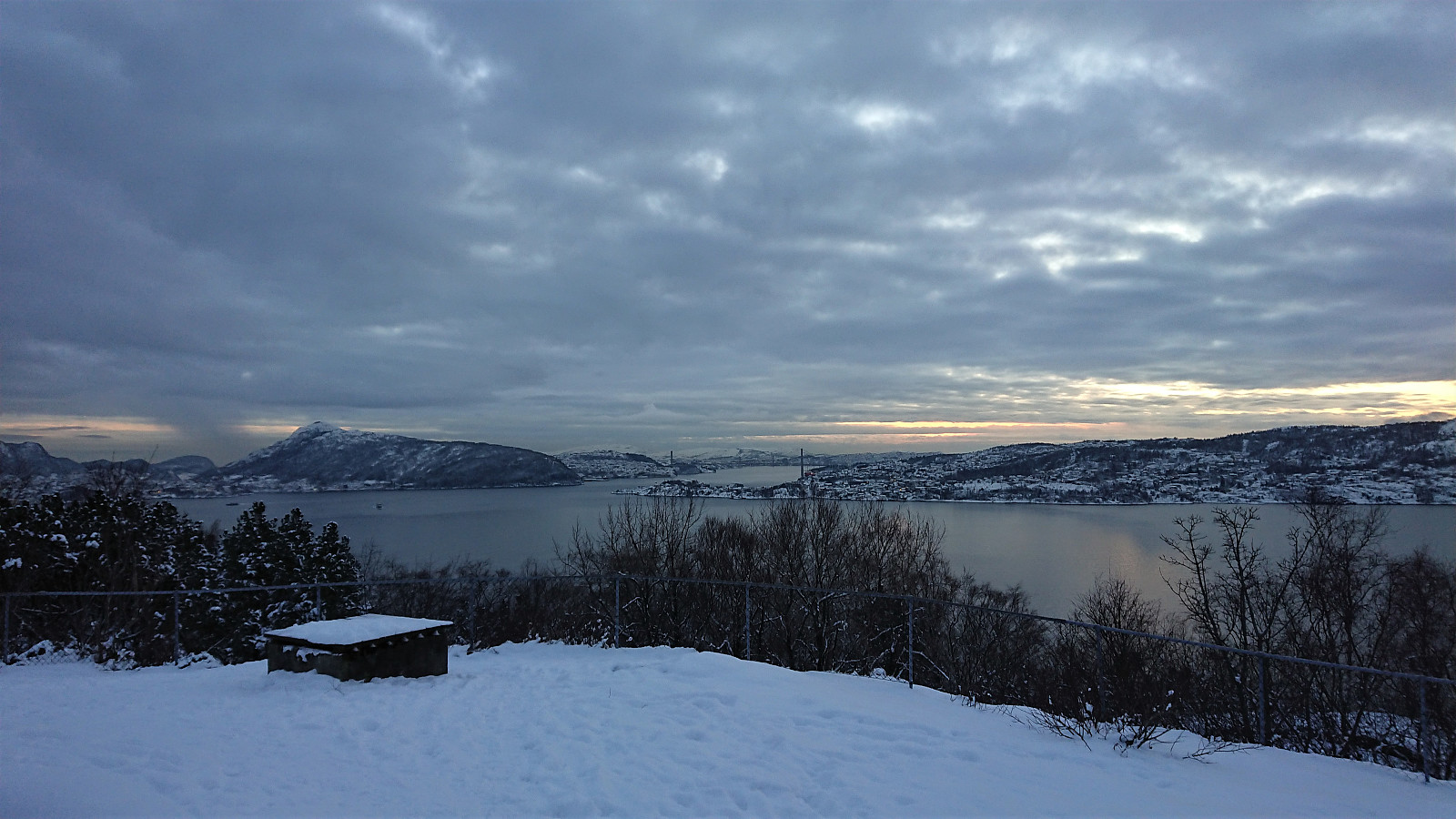 Short local hike after work.
Hellen festning, Hellemyrstien and Munkebotn
- Datum:
- 31.01.2021
- Tourcharakter:
- Wanderung
- Tourlänge:
- 2:56h
- Entfernung:
- 10,0km
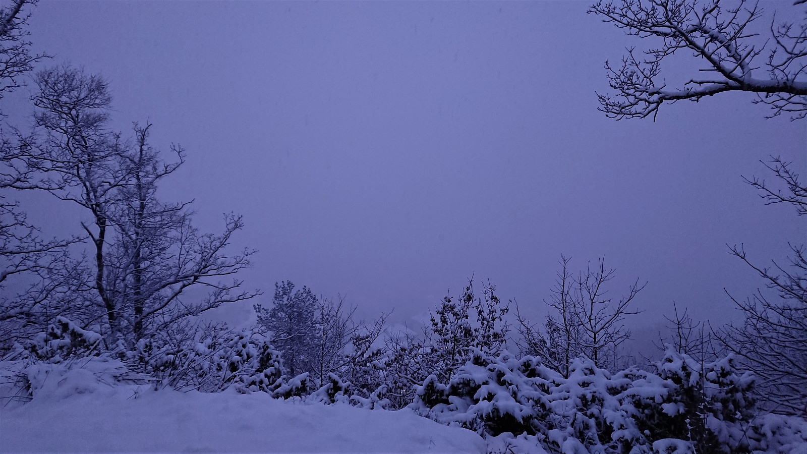 Local hike in the snow with Sigjoern (Sigbjørn Holm) and Marthine.
Hellen festning and Gamle Bergen
- Datum:
- 28.01.2021
- Tourcharakter:
- Wanderung
- Tourlänge:
- 1:23h
- Entfernung:
- 7,3km
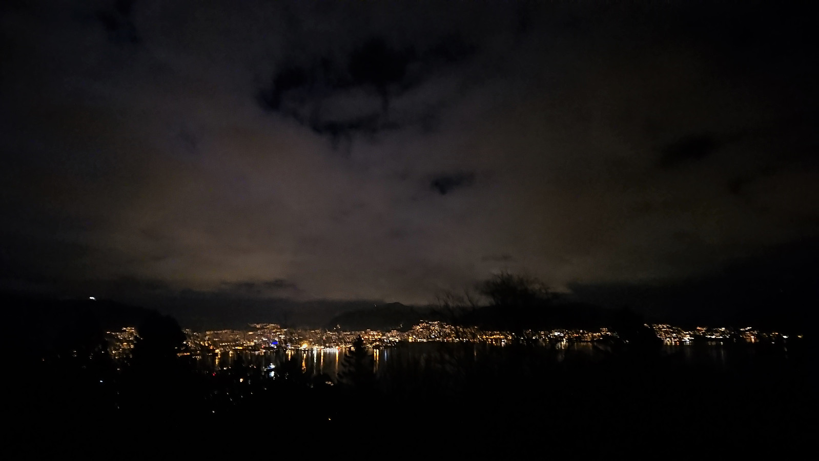
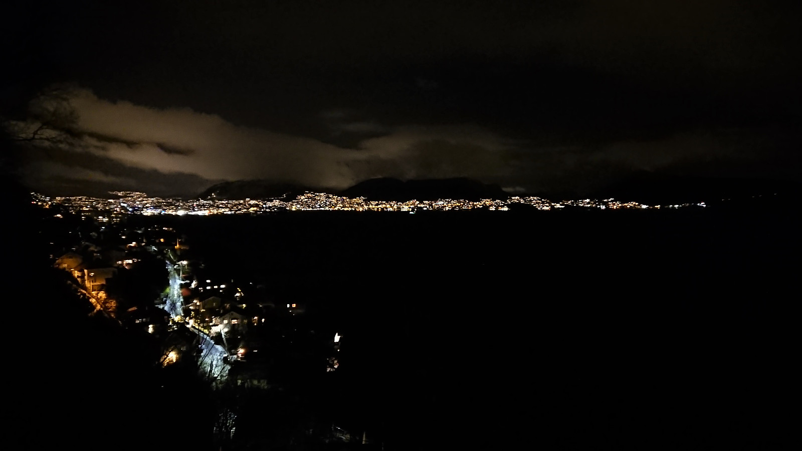
 Local hike just after sunset.
Hellen festning and Furukammen
- Datum:
- 26.01.2021
- Tourcharakter:
- Wanderung
- Tourlänge:
- 1:34h
- Entfernung:
- 5,1km
 Short local hike just after sunset.
Across Hellen festning
- Datum:
- 25.01.2021
- Tourcharakter:
- Wanderung
- Tourlänge:
- 0:37h
- Entfernung:
- 3,1km
 Short local evening hike.
Across Hellen festning
- Datum:
- 20.01.2021
- Tourcharakter:
- Wanderung
- Tourlänge:
- 0:40h
- Entfernung:
- 3,1km
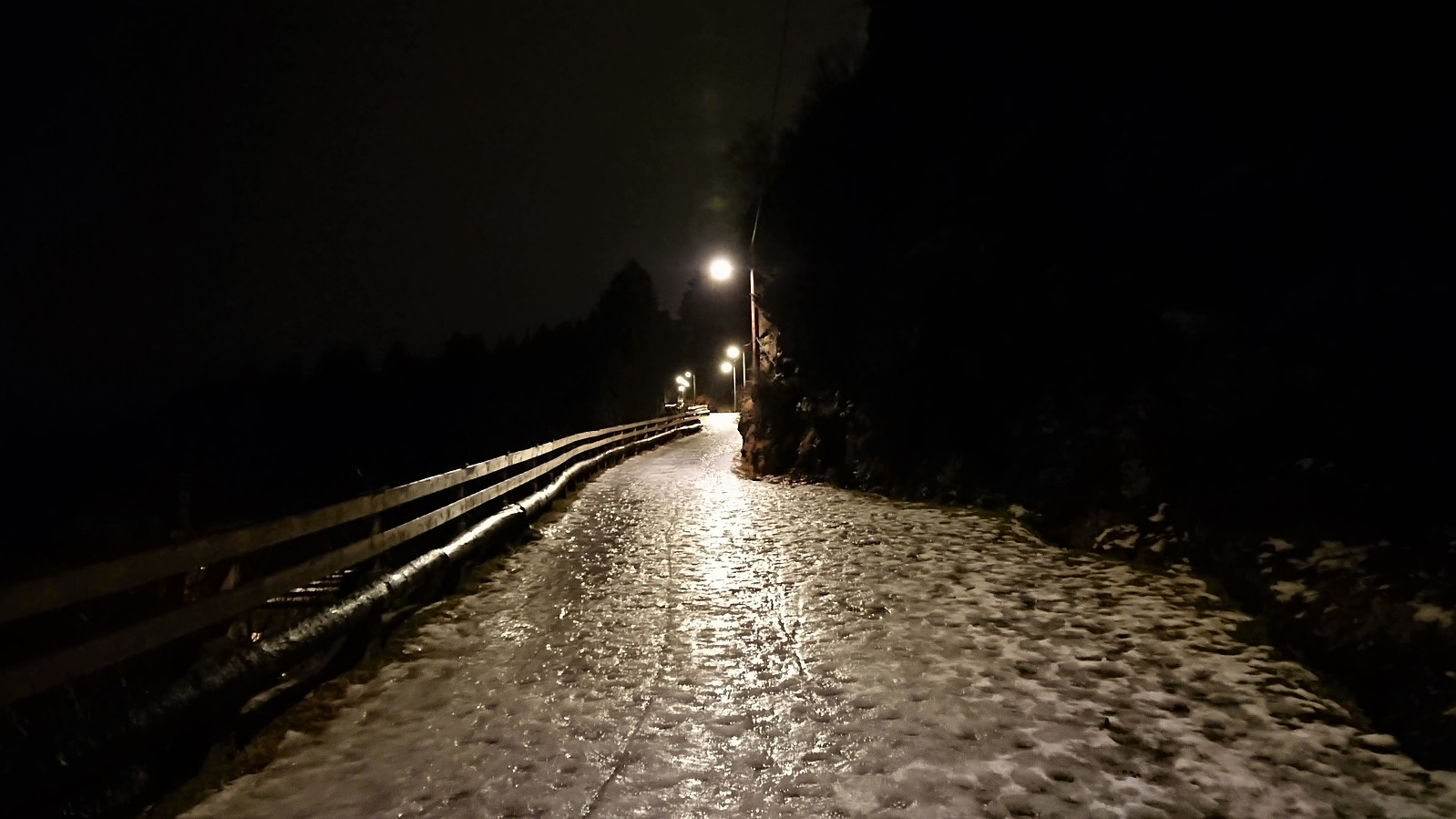 Short local evening hike across an ice-covered Hellen festning.
Gamle Bergen
- Datum:
- 18.01.2021
- Tourcharakter:
- Wanderung
- Tourlänge:
- 1:16h
- Entfernung:
- 6,5km
 An attempt at the usual hike across Hellen festning had to be abandoned when the ascent road was completely packed with slippery ice. I therefore did a walk to Gamle Bergen instead.
