Arkiv - dato
Arkiv - aktivitet
-
Annen tur (3)
- Kajakkpadling (3)
- Fottur (1870)
-
Kjøretur (9)
- Biltur (9)
-
Skitur (115)
- Fjellskitur (68)
- Langrennstur (47)
-
Sykkeltur (108)
- Blandet sykling (25)
- Gatesykling (83)
Lister jeg samler etter
-
Utvalgte topper og turmål i Bergen
(346/347)
 99%
99% -
Alle topper i Bergen
(391/398)
98%
-
Voss ≥ 100m pf.
(96/98)
97%
-
Opptur Hordaland
(144/159)
90%
-
Stasjoner på Bergensbanen
(31/40)
77%
-
Ulvik ≥ 100m pf.
(28/38)
73%
-
Hordaland ≥ 100m pf.
(619/863)
71%
-
Mjølfjell PF > 100m
(21/31)
67%
-
Jondal ≥ 100m pf.
(15/23)
65%
-
Dagsturhyttene i Vestland
(36/61)
59%
-
Sunnhordland PF >= 100m
(105/186)
56%
-
Hordaland: Hardanger PF>=100m
(191/359)
53%
-
DNT-hytter i Hordaland
(23/45)
51%
-
Kvinnherad ≥ 100m pf.
(40/79)
50%
-
Sogndal ≥ 100m pf.
(23/81)
28%
-
Gulen ≥ 100m pf.
(14/54)
25%
-
Eidfjord ≥ 100m pf.
(10/42)
23%
-
Vik i Sogn ≥ 100m pf.
(10/46)
21%
-
Sogn - Sør for Sognefjorden PF>=100m
(30/159)
18%
-
DNT-hytter i Sogn og Fjordane
(8/47)
17%

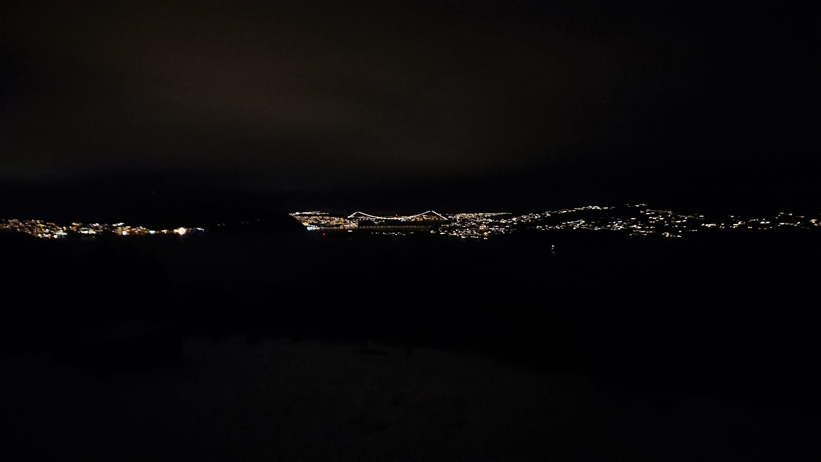
Across Hellen festning
- Dato:
- 21.12.2021
- Turtype:
- Fottur
- Turlengde:
- 0:34t
- Distanse:
- 3,1km
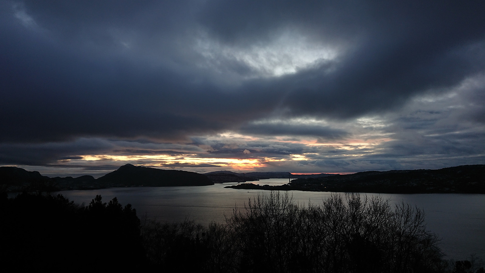 Short local hike just after sunset.
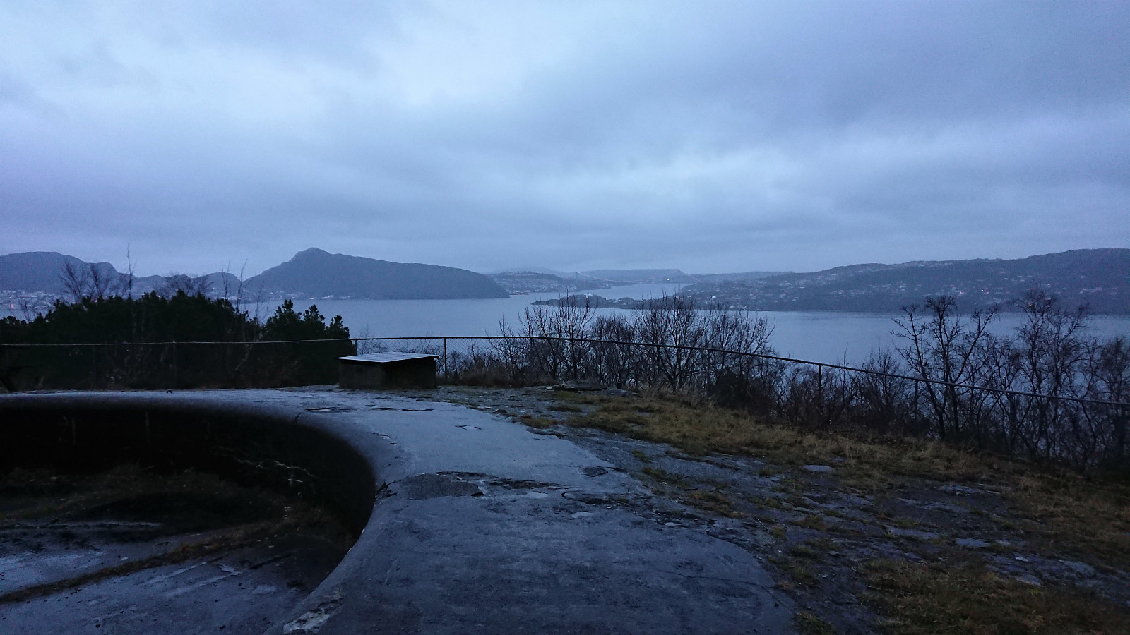
Across Hellen festning
- Dato:
- 17.12.2021
- Turtype:
- Fottur
- Turlengde:
- 0:37t
- Distanse:
- 3,2km
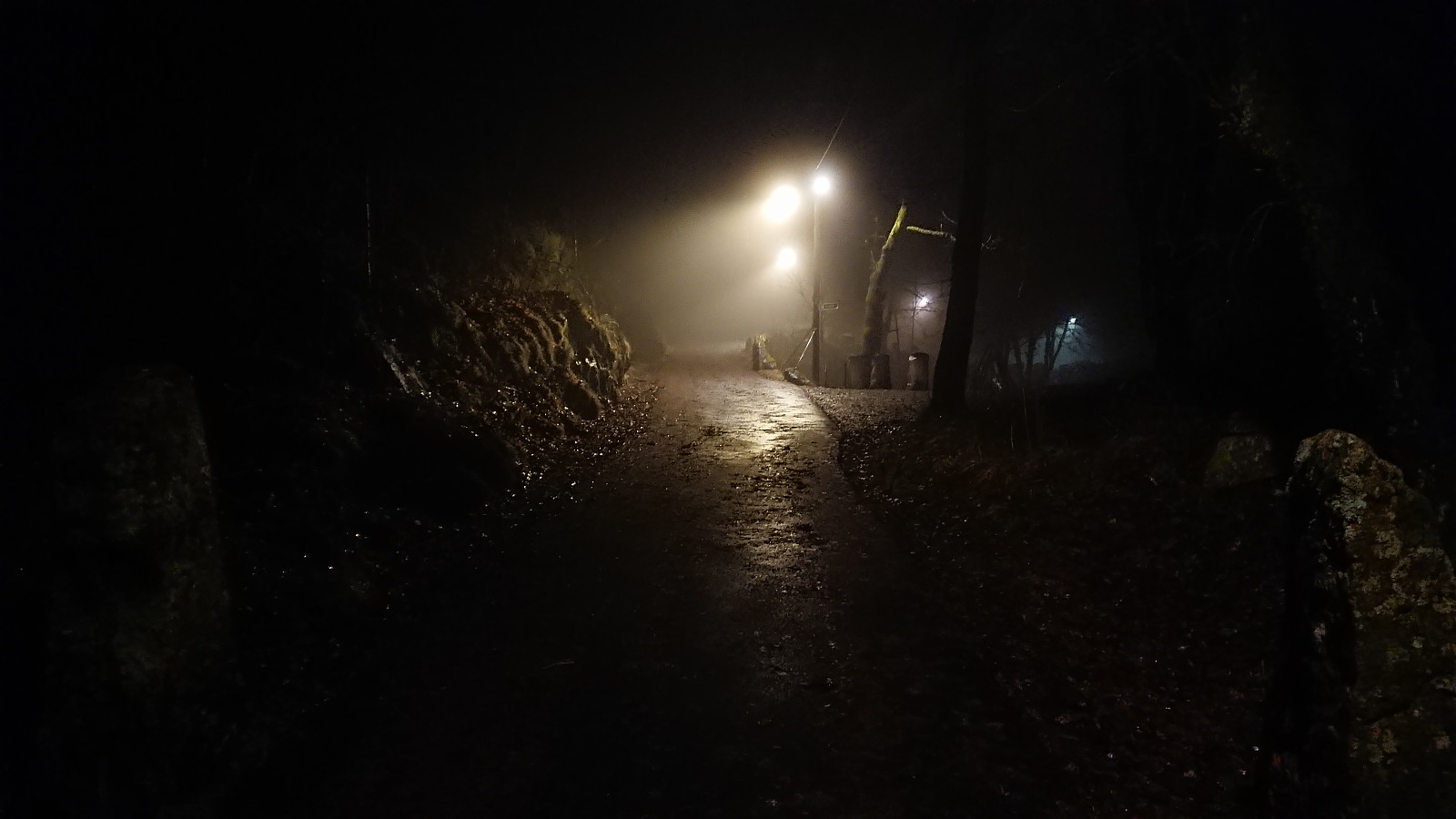 Short local evening hike in the fog.
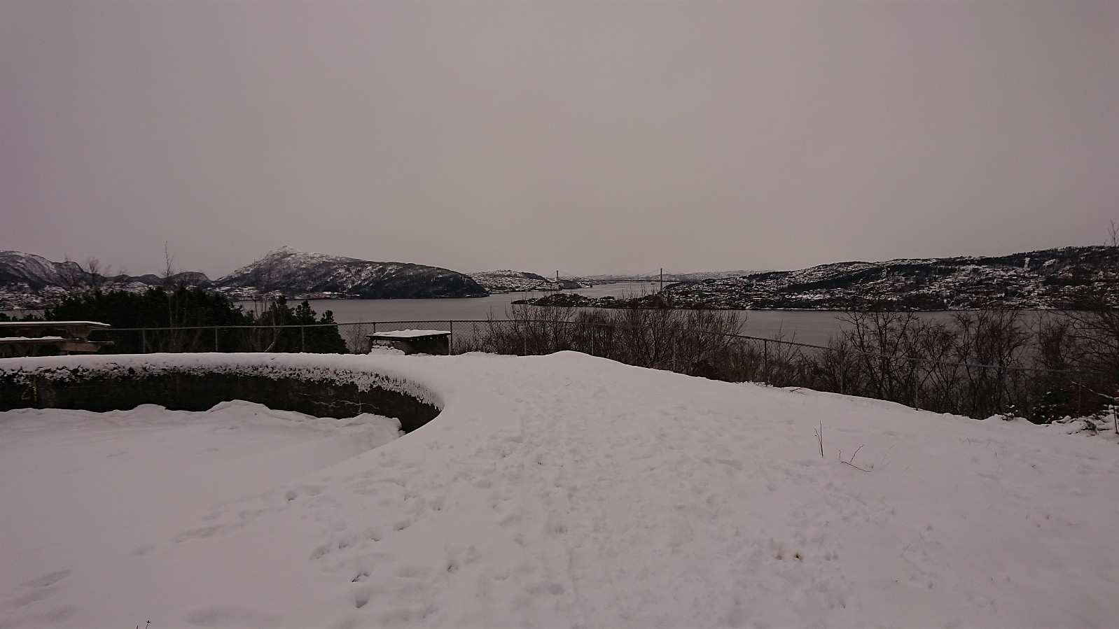
Helleneset and Hellen festning
- Dato:
- 12.12.2021
- Turtype:
- Fottur
- Turlengde:
- 1:02t
- Distanse:
- 4,3km
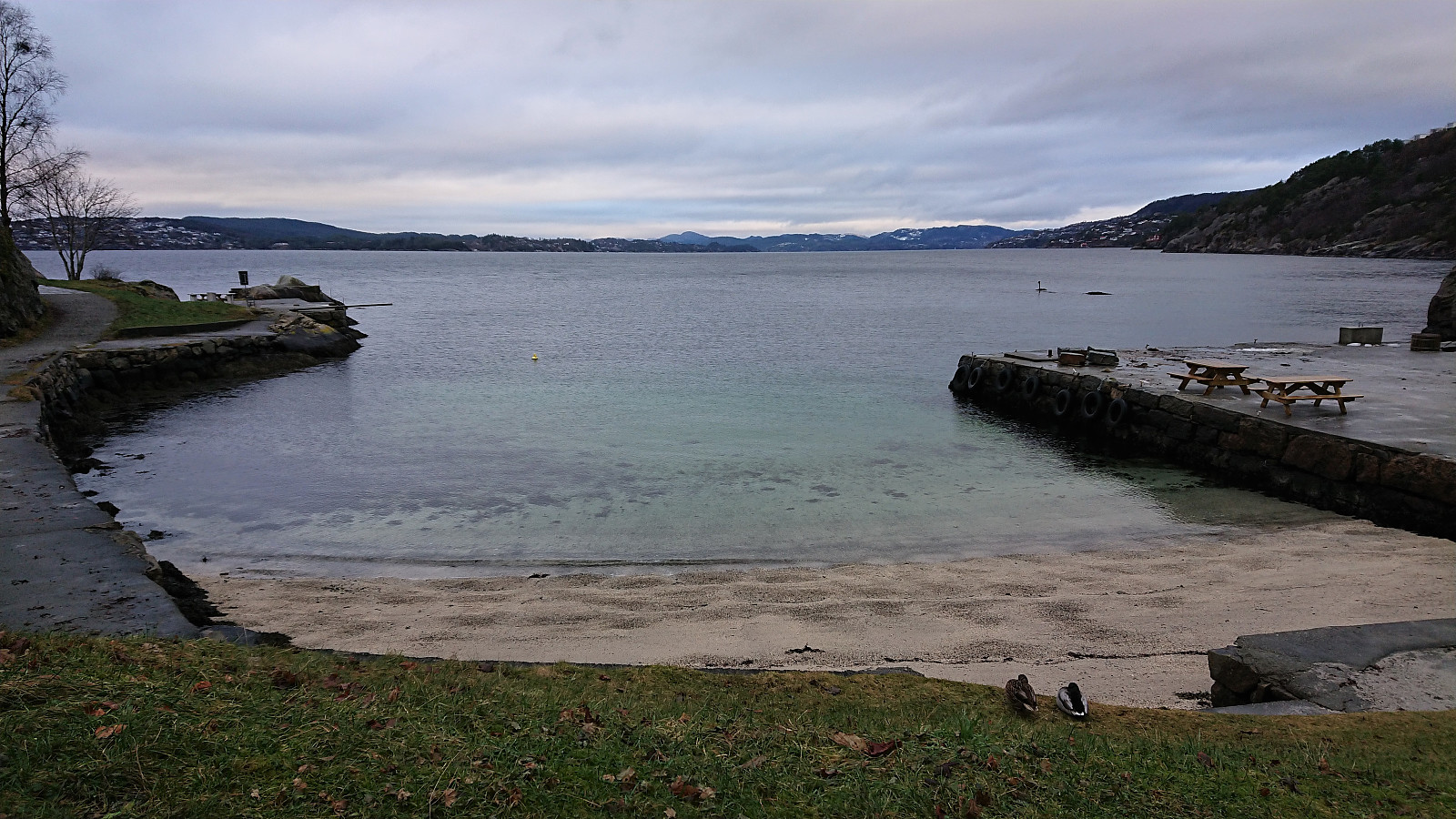 Short local hike on an overall gray Sunday.
Hellen festning
- Dato:
- 10.12.2021
- Turtype:
- Fottur
- Turlengde:
- 0:36t
- Distanse:
- 2,7km
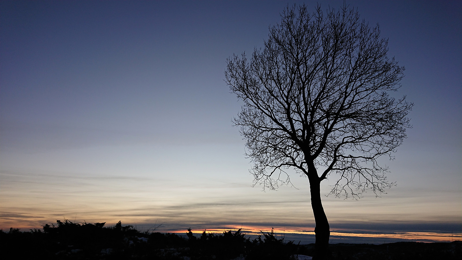 Short local hike just after sunset.
Hellen festning
- Dato:
- 08.12.2021
- Turtype:
- Fottur
- Turlengde:
- 0:36t
- Distanse:
- 2,7km
 Short local evening hike to an ice-covered Hellen festning after once again being back to working from the home office due to the COVID situation...
Hellen festning and Furukammen
- Dato:
- 04.12.2021
- Turtype:
- Fottur
- Turlengde:
- 2:25t
- Distanse:
- 5,0km
 Short local hike in light snow showers.
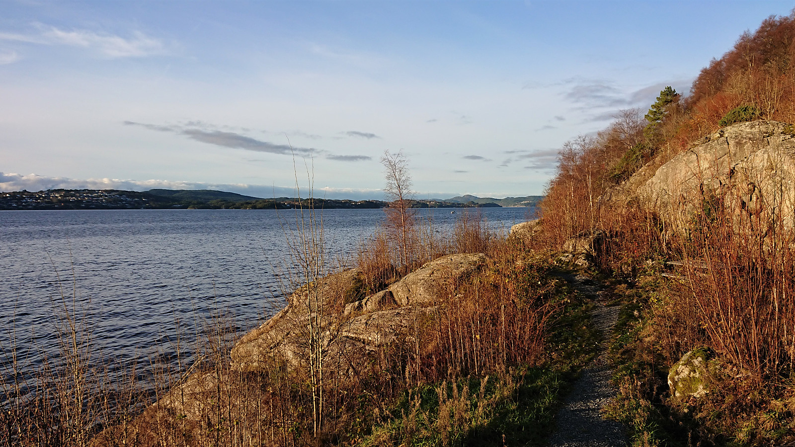
Gamle Bergen and Skytterveien
- Dato:
- 27.11.2021
- Turtype:
- Fottur
- Turlengde:
- 1:30t
- Distanse:
- 8,2km
 Local hike on a nice but cold Saturday.
Across Hellen festning
- Dato:
- 14.11.2021
- Turtype:
- Fottur
- Turlengde:
- 0:54t
- Distanse:
- 4,3km
 Short local hike after yesterday's long trip in Masfjorden.
Across Hellen festning
- Dato:
- 06.11.2021
- Turtype:
- Fottur
- Turlengde:
- 0:35t
- Distanse:
- 3,1km
 Short local hike one gray and wet Saturday.
Fjellveien, Fløyen and Brushytten
- Dato:
- 30.10.2021
- Turtype:
- Fottur
- Turlengde:
- 2:52t
- Distanse:
- 14,5km
 Saturday hike from Munkebotn to Lønborg via Fjellveien, Fløyen and Brushytten.
