Arkiv - dato
Arkiv - aktivitet
-
Annen tur (3)
- Kajakkpadling (3)
- Fottur (1870)
-
Kjøretur (9)
- Biltur (9)
-
Skitur (115)
- Fjellskitur (68)
- Langrennstur (47)
-
Sykkeltur (108)
- Blandet sykling (25)
- Gatesykling (83)
Lister jeg samler etter
-
Utvalgte topper og turmål i Bergen
(346/347)
 99%
99% -
Alle topper i Bergen
(391/398)
98%
-
Voss ≥ 100m pf.
(96/98)
97%
-
Opptur Hordaland
(144/159)
90%
-
Stasjoner på Bergensbanen
(31/40)
77%
-
Ulvik ≥ 100m pf.
(28/38)
73%
-
Hordaland ≥ 100m pf.
(619/863)
71%
-
Mjølfjell PF > 100m
(21/31)
67%
-
Jondal ≥ 100m pf.
(15/23)
65%
-
Dagsturhyttene i Vestland
(36/61)
59%
-
Sunnhordland PF >= 100m
(105/186)
56%
-
Hordaland: Hardanger PF>=100m
(191/359)
53%
-
DNT-hytter i Hordaland
(23/45)
51%
-
Kvinnherad ≥ 100m pf.
(40/79)
50%
-
Sogndal ≥ 100m pf.
(23/81)
28%
-
Gulen ≥ 100m pf.
(14/54)
25%
-
Eidfjord ≥ 100m pf.
(10/42)
23%
-
Vik i Sogn ≥ 100m pf.
(10/46)
21%
-
Sogn - Sør for Sognefjorden PF>=100m
(30/159)
18%
-
DNT-hytter i Sogn og Fjordane
(8/47)
17%

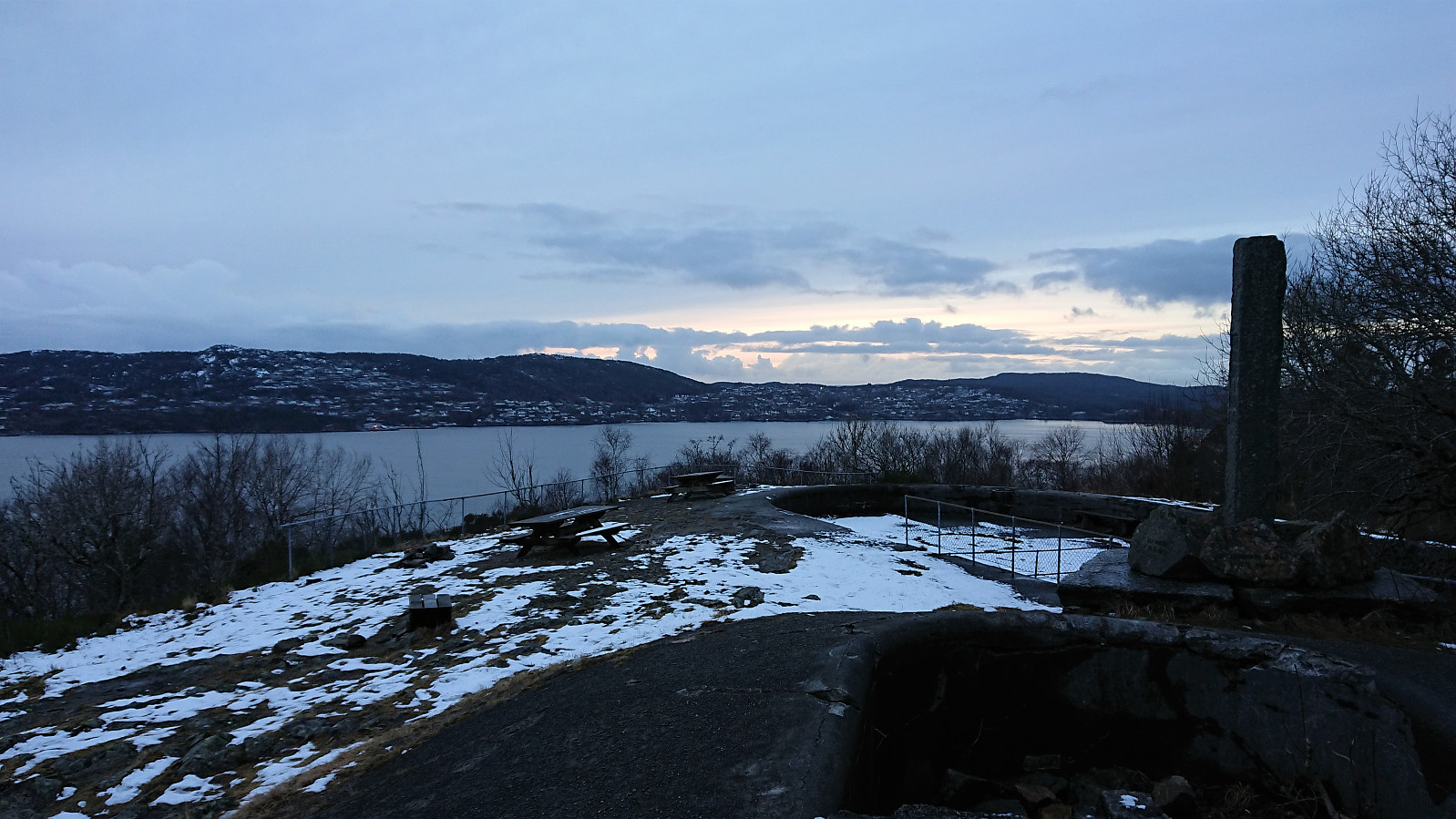
Across Hellen festning
- Dato:
- 27.03.2022
- Turtype:
- Fottur
- Turlengde:
- 0:39t
- Distanse:
- 3,2km
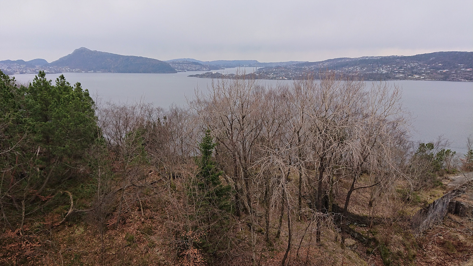
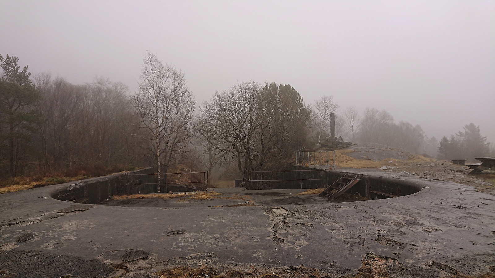 Short local hike on an overall gray Sunday.
Hellen festning and Furukammen
- Dato:
- 22.03.2022
- Turtype:
- Fottur
- Turlengde:
- 0:54t
- Distanse:
- 3,5km
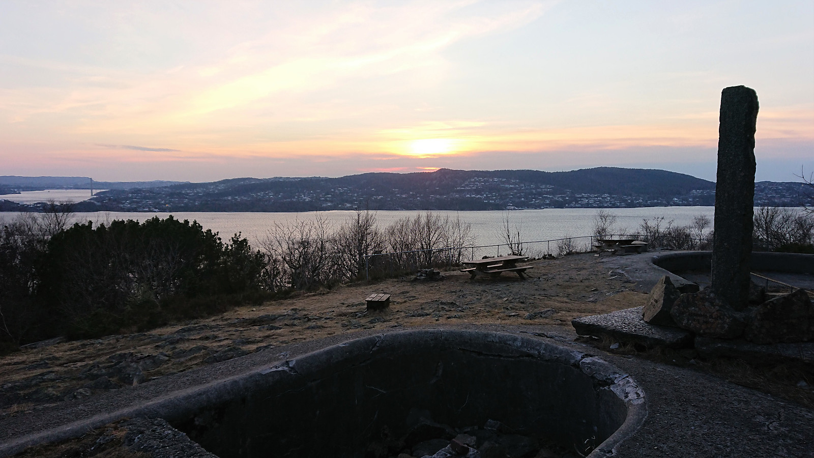
 Short local hike after work.
Hellen festning and Furukammen
- Dato:
- 19.03.2022
- Turtype:
- Fottur
- Turlengde:
- 3:27t
- Distanse:
- 5,6km
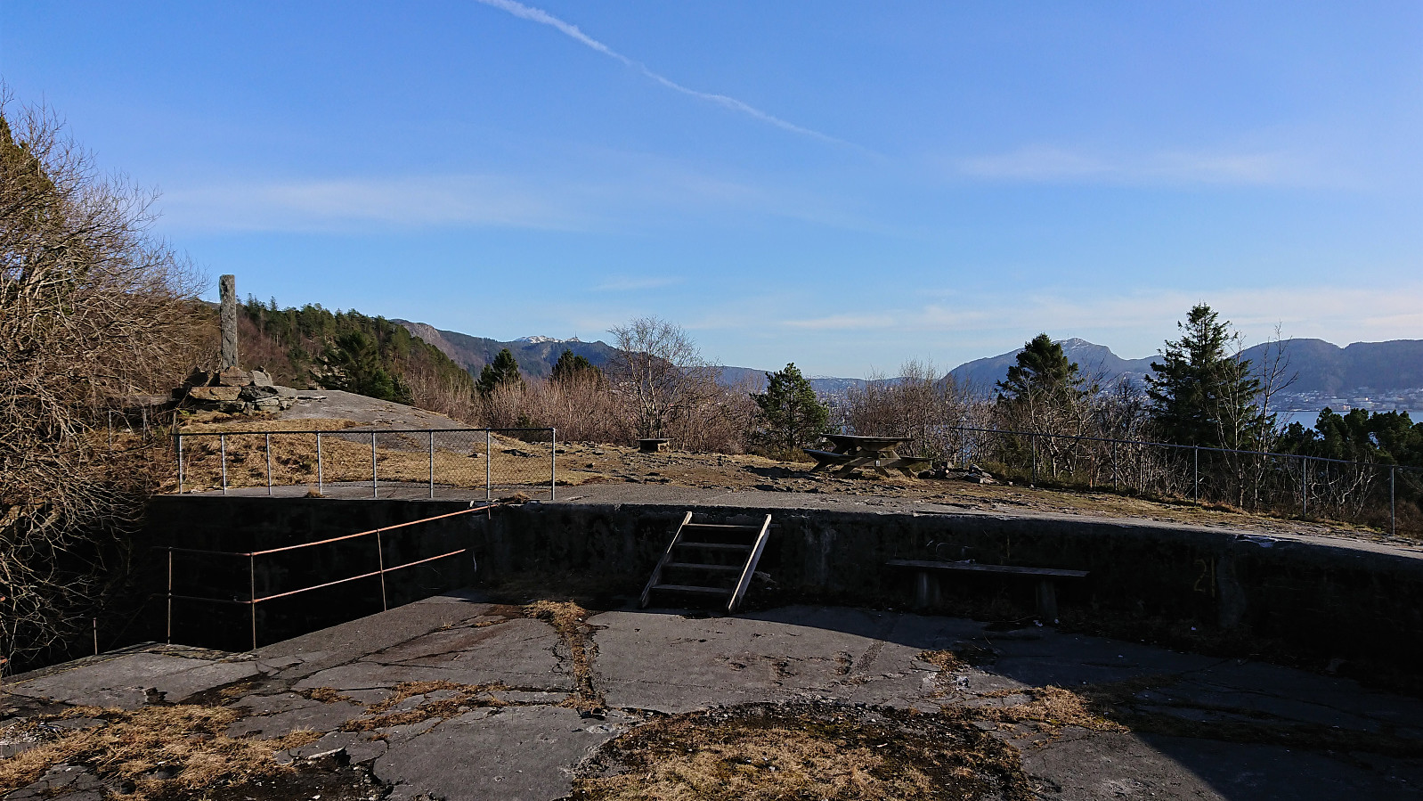 Short local Saturday hike in the sun.
Across Hellen festning
- Dato:
- 15.03.2022
- Turtype:
- Fottur
- Turlengde:
- 0:34t
- Distanse:
- 3,2km
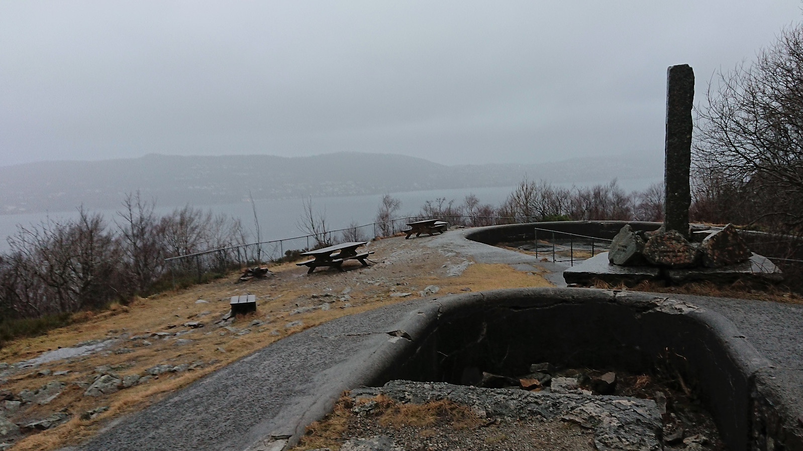
 Short local hike after work.
Across Hellen festning
- Dato:
- 13.03.2022
- Turtype:
- Fottur
- Turlengde:
- 0:37t
- Distanse:
- 3,2km
 Short local Sunday hike after spending all of Saturday on a hike in Kvinnherad.
Across Hellen festning
- Dato:
- 09.03.2022
- Turtype:
- Fottur
- Turlengde:
- 0:37t
- Distanse:
- 3,0km
 Short local hike after work.
Hellen festning and Furukammen
- Dato:
- 23.02.2022
- Turtype:
- Fottur
- Turlengde:
- 2:49t
- Distanse:
- 4,5km
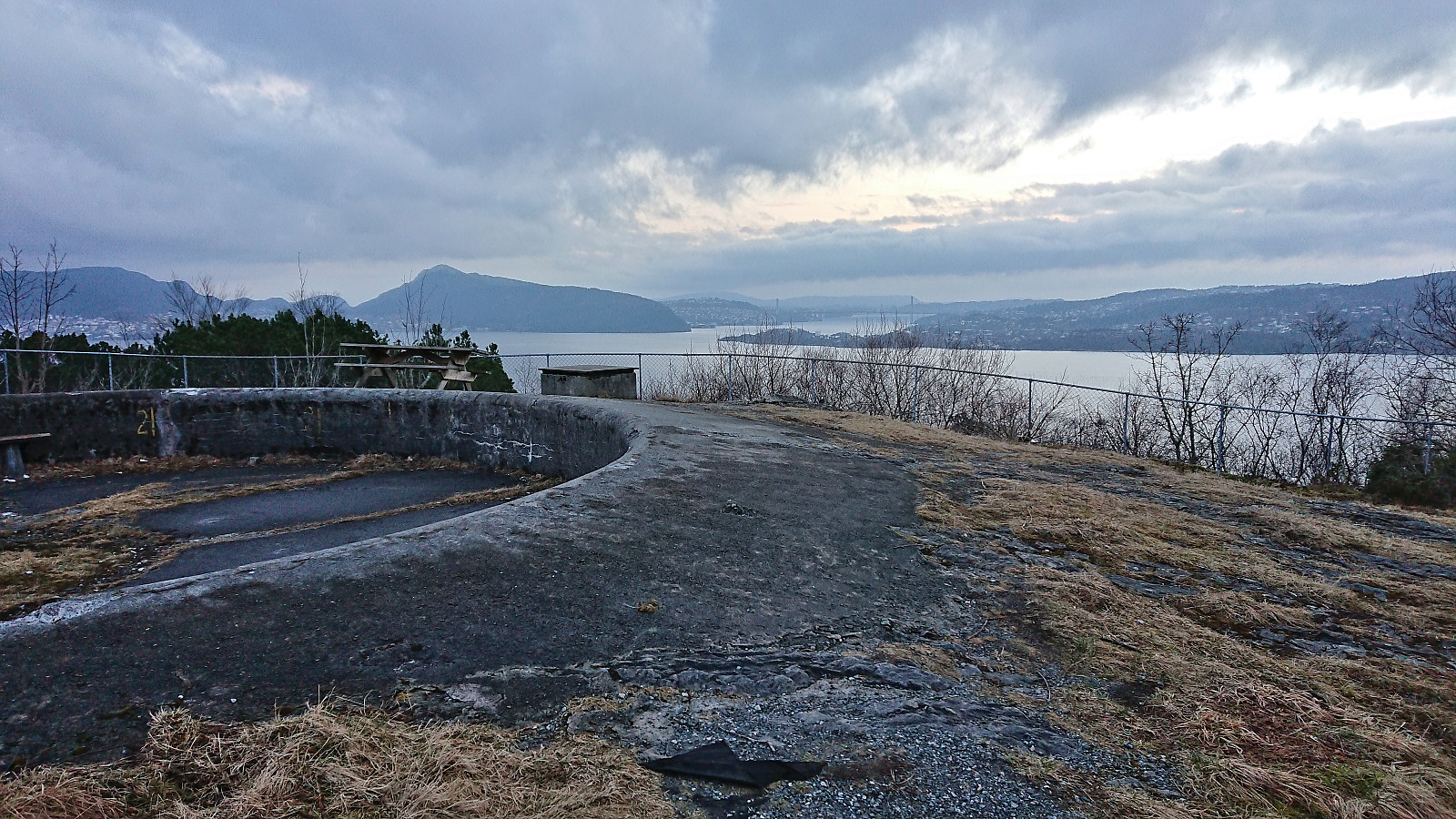
 Short local hike after work in strong winds from the south.
Fjellveien, Furukammen and Hellen festning
- Dato:
- 20.02.2022
- Turtype:
- Fottur
- Turlengde:
- 2:16t
- Distanse:
- 8,6km
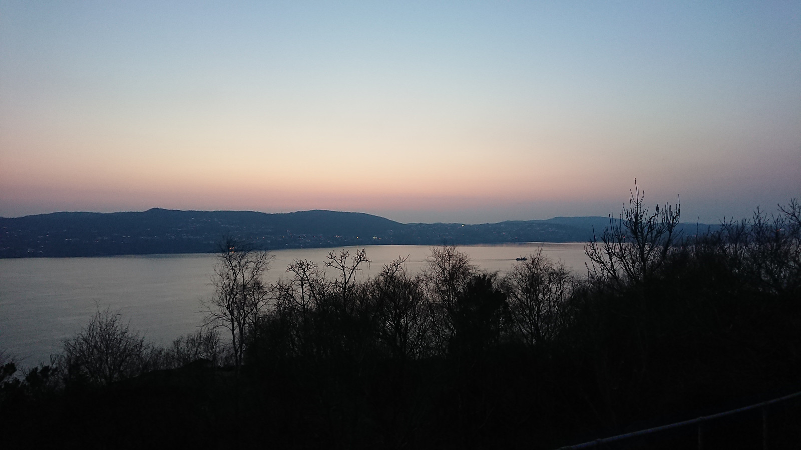
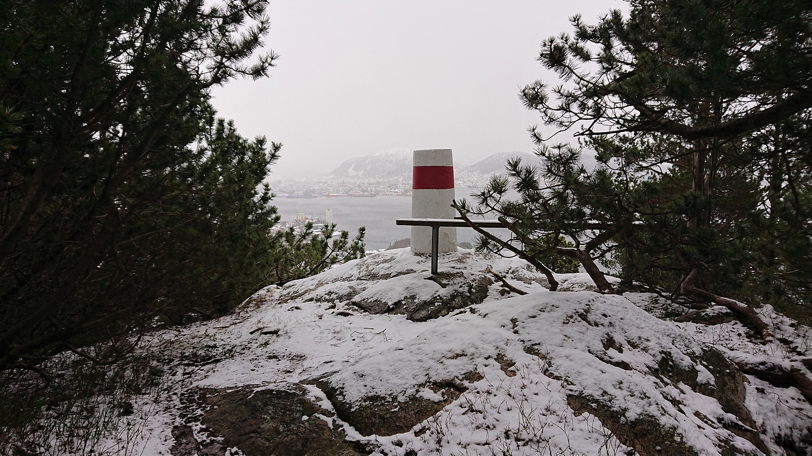 Local Sunday hike with occasional snow showers along the way.
Across Hellen festning
- Dato:
- 18.02.2022
- Turtype:
- Fottur
- Turlengde:
- 0:40t
- Distanse:
- 3,5km
 Yet another short local hike after work.
Across Hellen festning
- Dato:
- 17.02.2022
- Turtype:
- Fottur
- Turlengde:
- 0:41t
- Distanse:
- 3,6km
 Short local hike before it got dark.
