Arkiv - dato
Arkiv - aktivitet
-
Annen tur (3)
- Kajakkpadling (3)
- Fottur (1870)
-
Kjøretur (9)
- Biltur (9)
-
Skitur (115)
- Fjellskitur (68)
- Langrennstur (47)
-
Sykkeltur (108)
- Blandet sykling (25)
- Gatesykling (83)
Lister jeg samler etter
-
Utvalgte topper og turmål i Bergen
(346/347)
 99%
99% -
Alle topper i Bergen
(391/398)
98%
-
Voss ≥ 100m pf.
(96/98)
97%
-
Opptur Hordaland
(144/159)
90%
-
Stasjoner på Bergensbanen
(31/40)
77%
-
Ulvik ≥ 100m pf.
(28/38)
73%
-
Hordaland ≥ 100m pf.
(619/863)
71%
-
Mjølfjell PF > 100m
(21/31)
67%
-
Jondal ≥ 100m pf.
(15/23)
65%
-
Dagsturhyttene i Vestland
(36/61)
59%
-
Sunnhordland PF >= 100m
(105/186)
56%
-
Hordaland: Hardanger PF>=100m
(191/359)
53%
-
DNT-hytter i Hordaland
(23/45)
51%
-
Kvinnherad ≥ 100m pf.
(40/79)
50%
-
Sogndal ≥ 100m pf.
(23/81)
28%
-
Gulen ≥ 100m pf.
(14/54)
25%
-
Eidfjord ≥ 100m pf.
(10/42)
23%
-
Vik i Sogn ≥ 100m pf.
(10/46)
21%
-
Sogn - Sør for Sognefjorden PF>=100m
(30/159)
18%
-
DNT-hytter i Sogn og Fjordane
(8/47)
17%

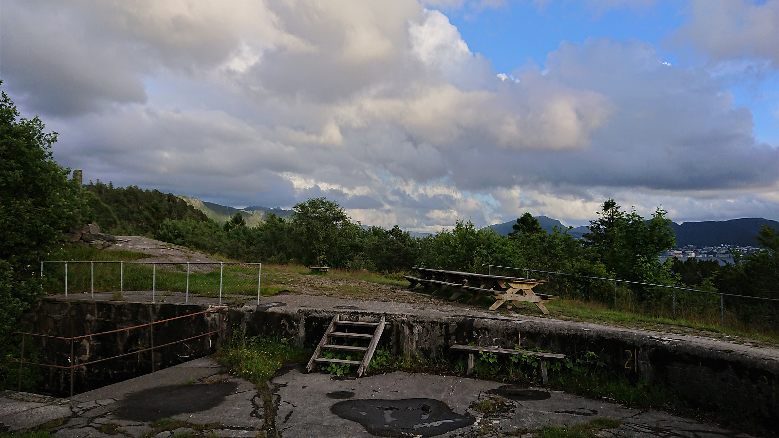
Hellen festning and Furukammen
- Dato:
- 29.07.2022
- Turtype:
- Fottur
- Turlengde:
- 0:55t
- Distanse:
- 4,5km
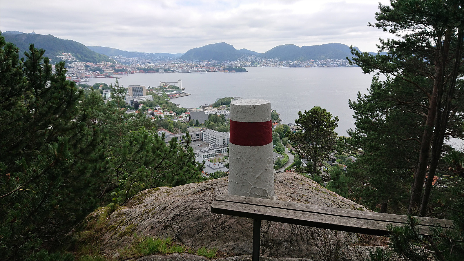 Short local hike after yesterday's long trip to Bømlo.
Helleneset and Hellen festning
- Dato:
- 25.07.2022
- Turtype:
- Fottur
- Turlengde:
- 0:55t
- Distanse:
- 4,3km
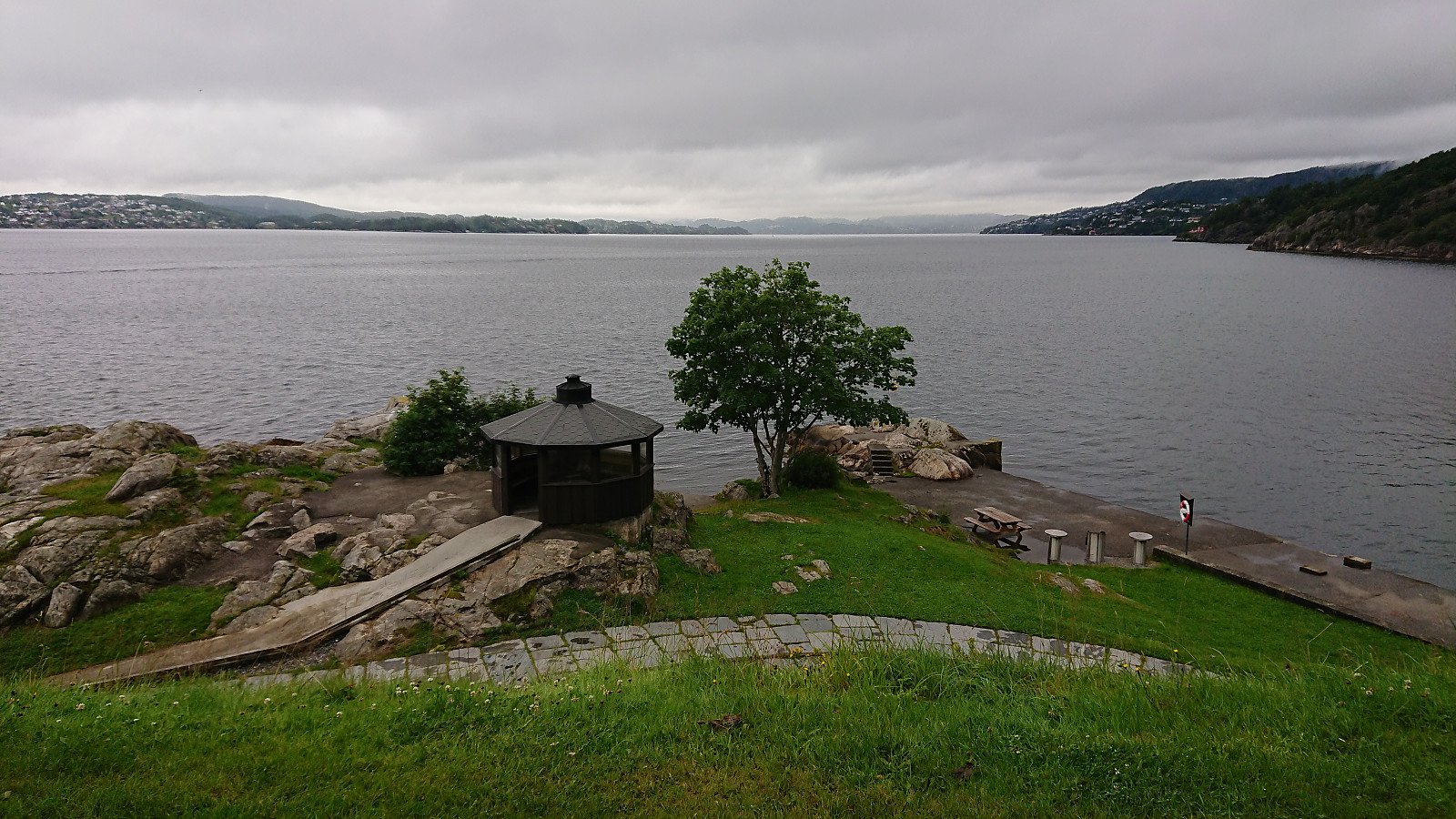 Short local hike on a gray and rainy Monday.
Across Hellen festning
- Dato:
- 24.07.2022
- Turtype:
- Fottur
- Turlengde:
- 0:37t
- Distanse:
- 3,2km
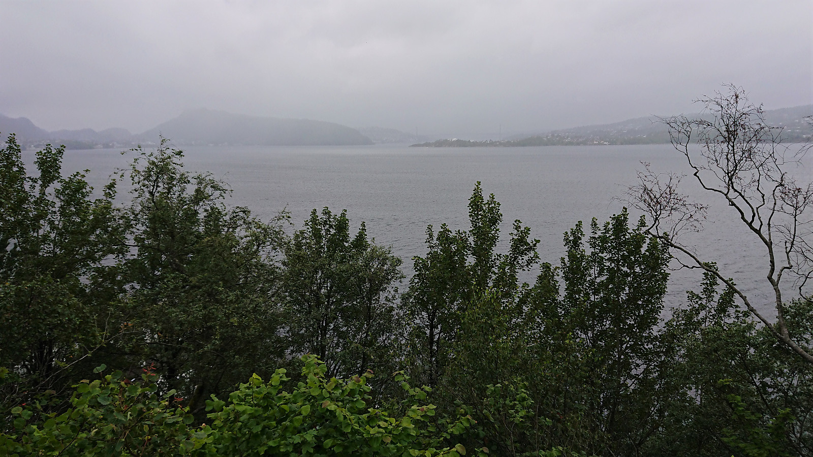 Short local hike avoiding the worst of the rain showers on a gray and wet Sunday.
Hellen festning and Furukammen
- Dato:
- 18.07.2022
- Turtype:
- Fottur
- Turlengde:
- 1:23t
- Distanse:
- 5,0km
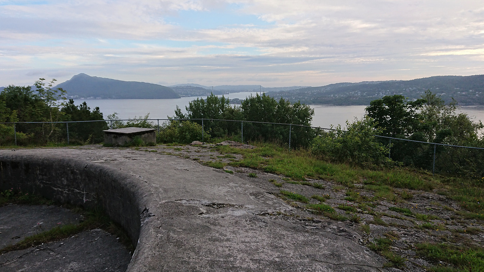 Short local evening hike.
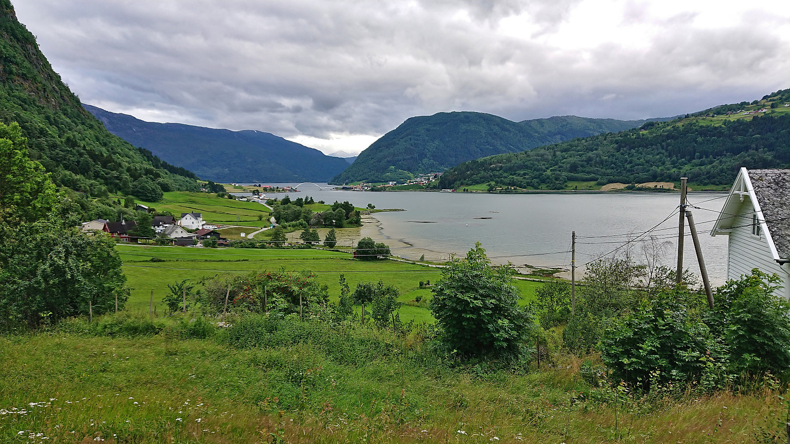
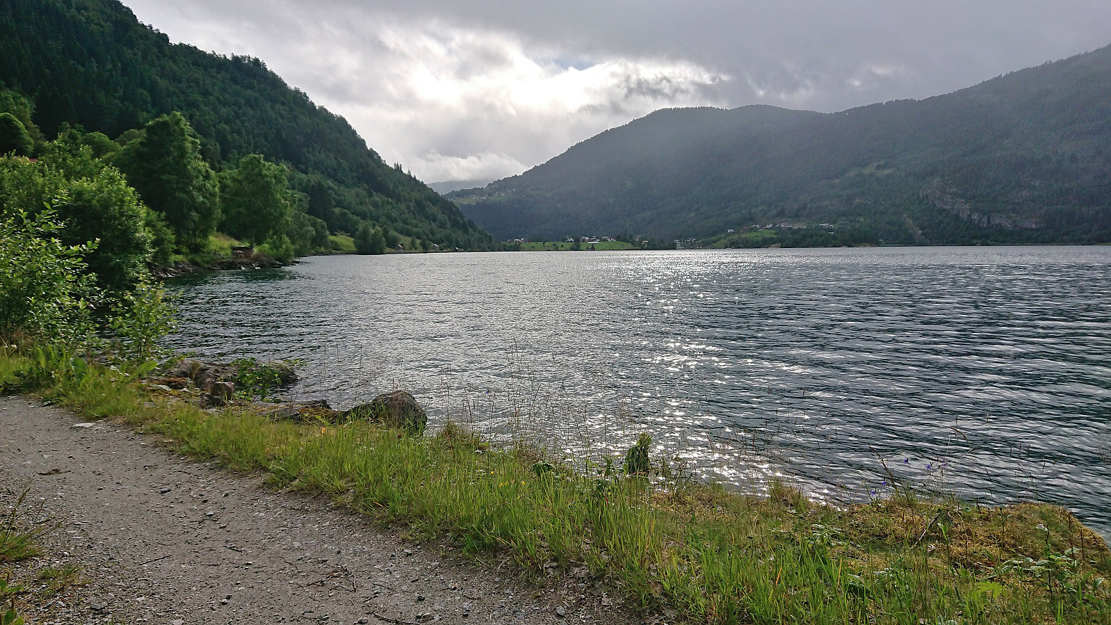
Barsnesfjorden
- Dato:
- 14.07.2022
- Turtype:
- Fottur
- Turlengde:
- 1:04t
- Distanse:
- 4,4km
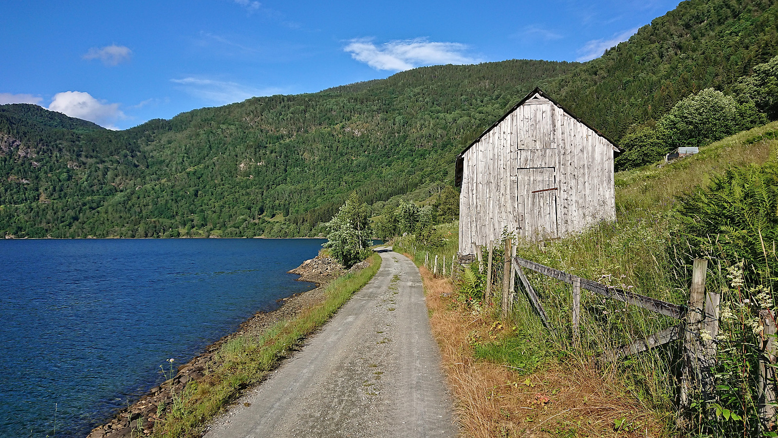 Short evening hike along Barsnesfjorden. The first in nice warm weather!
(Note that the road this hike follows is private, i.e. no cars allowed. There are however a couple of parking spaces down by the small wharf along Barsnesfjorden just before the road turns west and starts climbing slightly towards the crossroads at Barsnes.)
Short evening hike along Barsnesfjorden. The first in nice warm weather!
(Note that the road this hike follows is private, i.e. no cars allowed. There are however a couple of parking spaces down by the small wharf along Barsnesfjorden just before the road turns west and starts climbing slightly towards the crossroads at Barsnes.)
Barsnesfjorden
- Dato:
- 13.07.2022
- Turtype:
- Fottur
- Turlengde:
- 1:08t
- Distanse:
- 4,4km
 Another short walk along Barsnesfjorden.
(Note that the road this hike follows is private, i.e. no cars allowed. There are however a couple of parking spaces down by the small wharf along Barsnesfjorden just before the road turns west and starts climbing slightly towards the crossroads at Barsnes.)
Another short walk along Barsnesfjorden.
(Note that the road this hike follows is private, i.e. no cars allowed. There are however a couple of parking spaces down by the small wharf along Barsnesfjorden just before the road turns west and starts climbing slightly towards the crossroads at Barsnes.)
Barsnesfjorden
- Dato:
- 12.07.2022
- Turtype:
- Fottur
- Turlengde:
- 1:28t
- Distanse:
- 4,4km
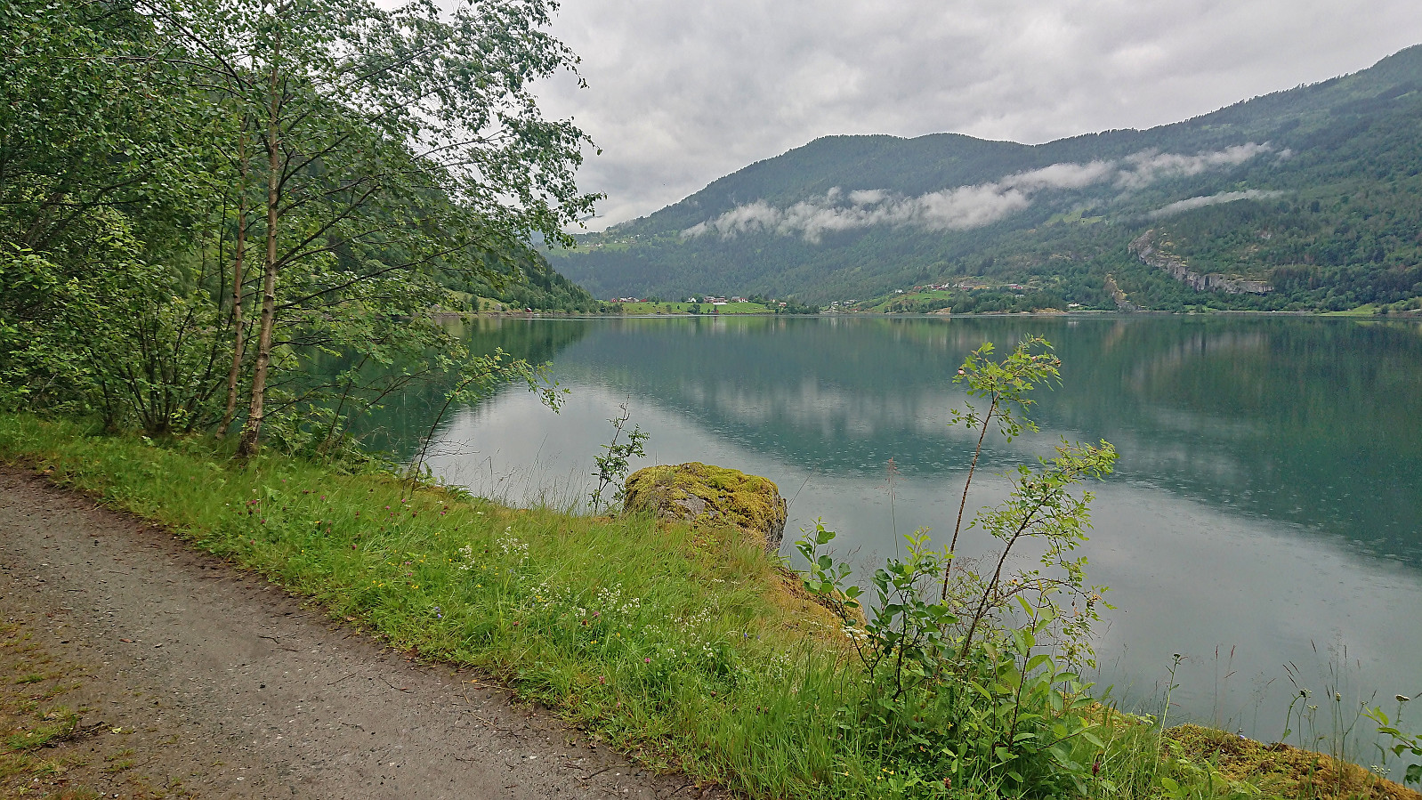 Yet another short walk along Barsnesfjorden. This time including many short stops underneath large trees to avoid the worst of the rain showers.
Bergsetbreen
- Dato:
- 11.07.2022
- Turtype:
- Fottur
- Turlengde:
- 2:48t
- Distanse:
- 8,0km
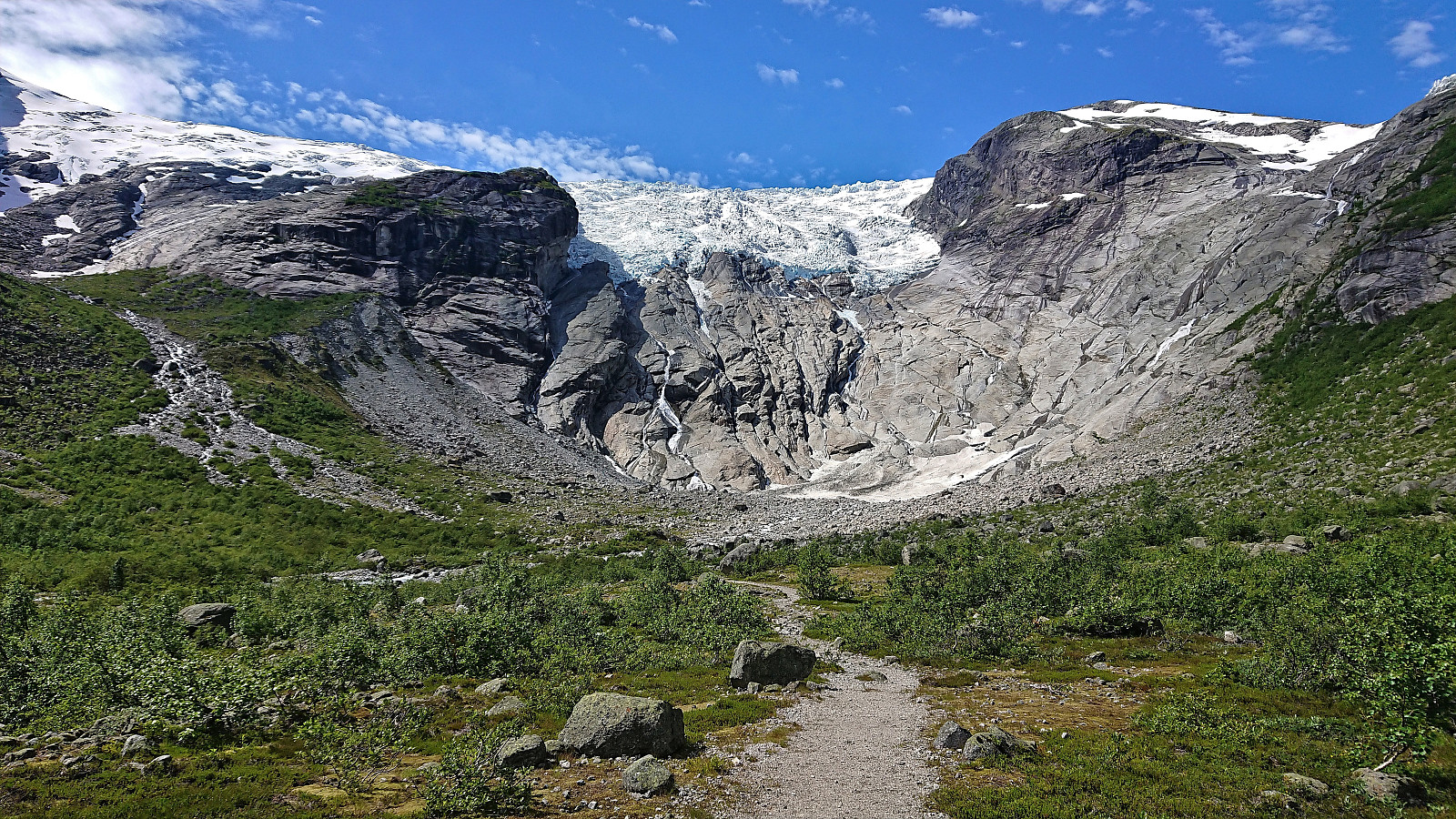 We drove to Bergset in Jostedalen and found free parking at Bergset p-plass . From the parking lot we could clearly see Bergsetbreen in the distance as started west along the marked trail. The trail was very nice and well maintained, and with less than 100 meters ascent spread across less than 4 km we made good progress towards the glacier. While Bergsetbreen, like most other glaciers in the area, has diminished significantly over the last decades, and clearly did not descend as far down into the valley as indicated in most promotional material, it was still very much worth the visit. Especially as it was so easy to get to and can be accessed even by relatively small children. After a short lunch break, we returned along the same route. Note that if you want a slightly longer hike you can also include a visit of Tuftebreen , to >>>
Barsnesfjorden
- Dato:
- 09.07.2022
- Turtype:
- Fottur
- Turlengde:
- 0:50t
- Distanse:
- 3,6km
 Short afternoon walk along Barsnesfjorden.
(Note that the road this hike follows is private, i.e. no cars allowed. There are however a couple of parking spaces down by the small wharf along Barsnesfjorden just before the road turns west and starts climbing slightly towards the crossroads at Barsnes.)
Short afternoon walk along Barsnesfjorden.
(Note that the road this hike follows is private, i.e. no cars allowed. There are however a couple of parking spaces down by the small wharf along Barsnesfjorden just before the road turns west and starts climbing slightly towards the crossroads at Barsnes.)
Across Hellen festning
- Dato:
- 04.07.2022
- Turtype:
- Fottur
- Turlengde:
- 0:35t
- Distanse:
- 3,0km
 Short local evening hike.
