Archiv - Nach Datum
Archiv - Nach Aktivität
-
Andere Tour (3)
- Kayaking (3)
-
Fahrradtour (108)
- Fahrradtour Straße (83)
- Fahrradtour gemischt (25)
-
Fahrzeugtour (9)
- Autotour (9)
-
Fußtour (1870)
- Bergtour (1109)
- Jogging (1)
- Spaziergang (55)
- Wanderung (705)
-
Skitour (115)
- Langlauf (47)
- Tourenskilauf (68)
Gesammelte Listen
-
Utvalgte topper og turmål i Bergen
(346/347)
 99%
99% -
Alle topper i Bergen
(391/398)
98%
-
Voss ≥ 100m pf.
(96/98)
97%
-
Opptur Hordaland
(144/159)
90%
-
Stasjoner på Bergensbanen
(31/40)
77%
-
Ulvik ≥ 100m pf.
(28/38)
73%
-
Hordaland ≥ 100m pf.
(619/863)
71%
-
Mjølfjell PF > 100m
(21/31)
67%
-
Jondal ≥ 100m pf.
(15/23)
65%
-
Dagsturhyttene i Vestland
(36/61)
59%
-
Sunnhordland PF >= 100m
(105/186)
56%
-
Hordaland: Hardanger PF>=100m
(191/359)
53%
-
DNT-hytter i Hordaland
(23/45)
51%
-
Kvinnherad ≥ 100m pf.
(40/79)
50%
-
Sogndal ≥ 100m pf.
(23/81)
28%
-
Gulen ≥ 100m pf.
(14/54)
25%
-
Eidfjord ≥ 100m pf.
(10/42)
23%
-
Vik i Sogn ≥ 100m pf.
(10/46)
21%
-
Sogn - Sør for Sognefjorden PF>=100m
(30/159)
18%
-
DNT-hytter i Sogn og Fjordane
(8/47)
17%

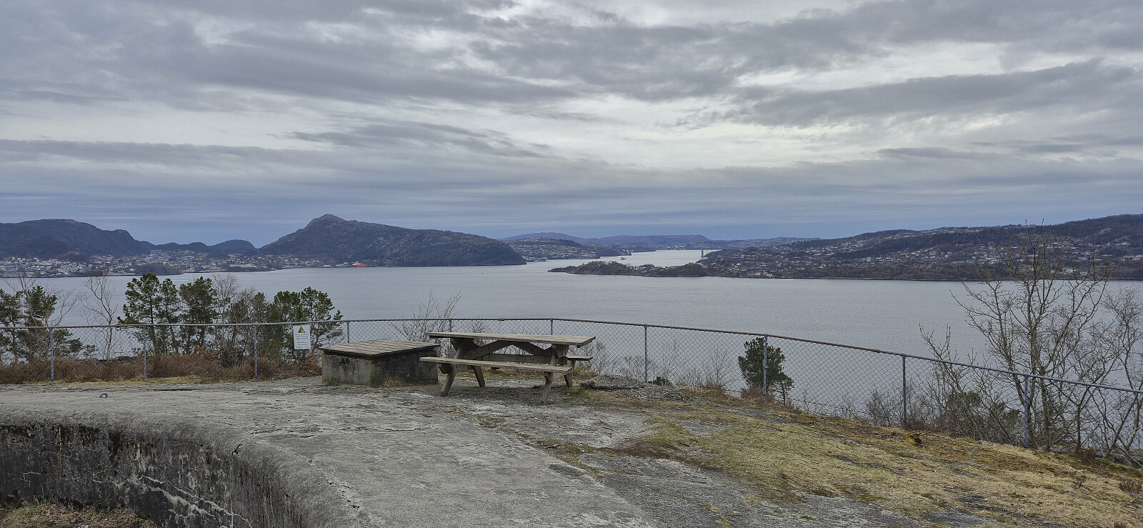
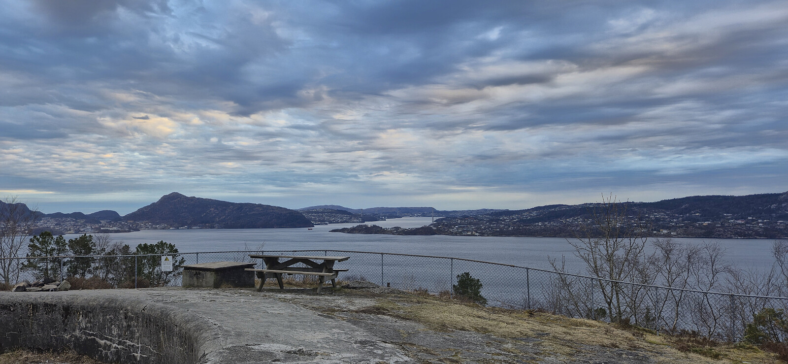
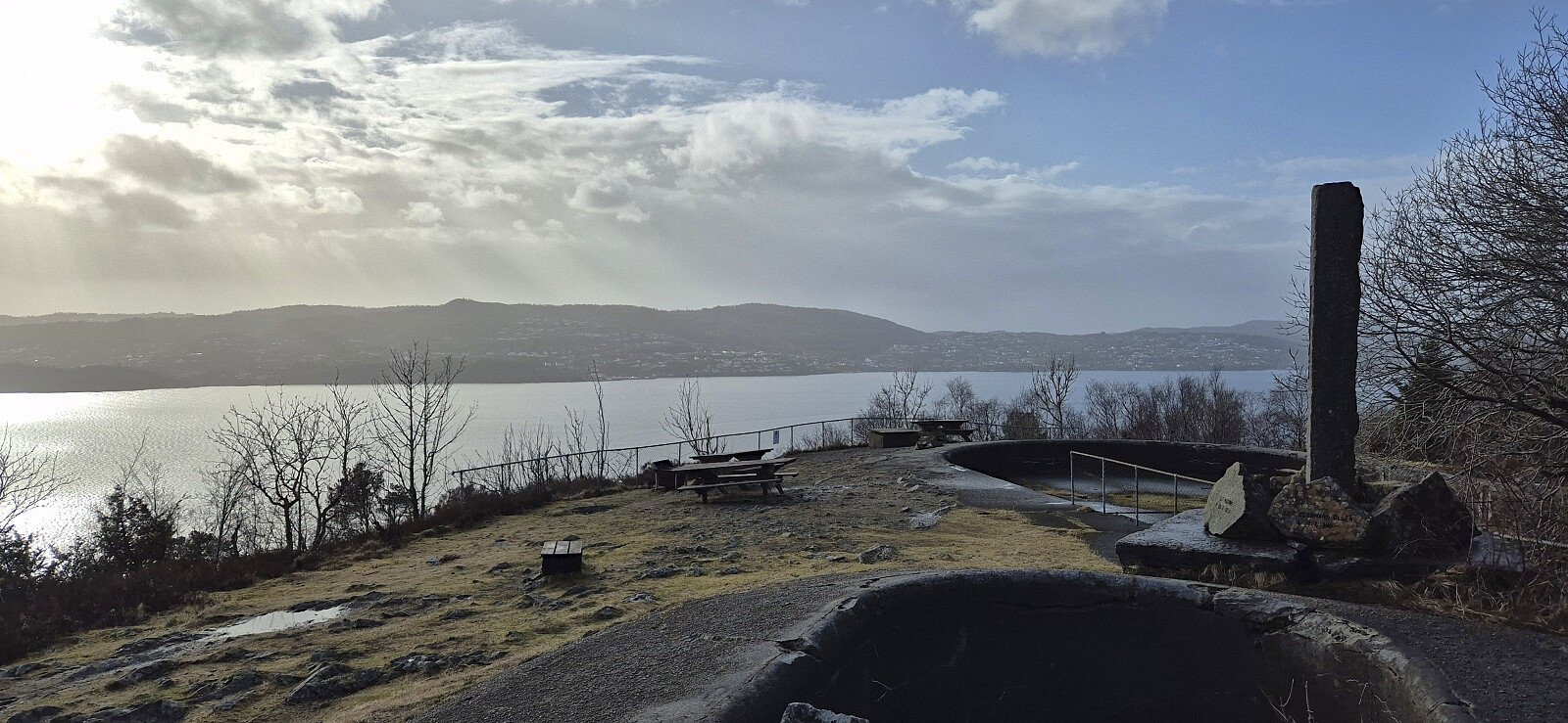
Across Hellen festning
- Datum:
- 30.04.2026
- Tourcharakter:
- Wanderung
- Tourlänge:
- 0:36h
- Entfernung:
- 3,1km
 Short local evening hike.
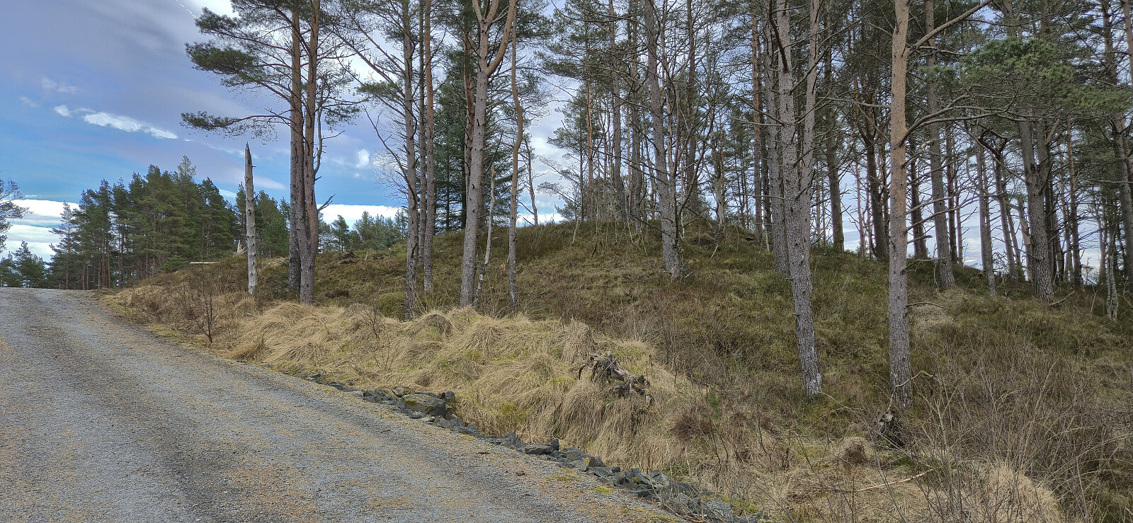
Furukammen
- Datum:
- 27.04.2026
- Tourcharakter:
- Wanderung
- Tourlänge:
- 0:49h
- Entfernung:
- 4,3km
 Short local evening hike.
Across Hellen festning
- Datum:
- 23.04.2026
- Tourcharakter:
- Wanderung
- Tourlänge:
- 0:37h
- Entfernung:
- 3,2km
 Short local evening hike.
Across Hellen festning
- Datum:
- 20.04.2026
- Tourcharakter:
- Wanderung
- Tourlänge:
- 0:37h
- Entfernung:
- 3,1km
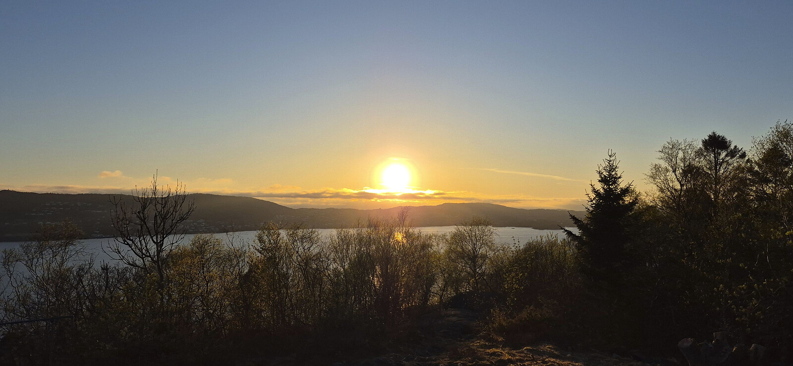
 Short local evening hike around sunset.
Across Hellen festning
- Datum:
- 17.04.2026
- Tourcharakter:
- Wanderung
- Tourlänge:
- 0:38h
- Entfernung:
- 3,2km
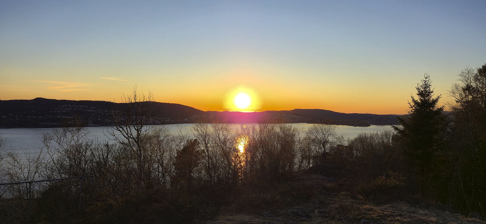
 Short local evening hike.
Litlåsfjellet from Leirvåg fergekai
- Datum:
- 11.04.2026
- Tourcharakter:
- Wanderung
- Tourlänge:
- 1:00h
- Entfernung:
- 5,1km
 Short bonus hike after my trip to Brattelifjellet, Storeholten and Mosedotten in Gulen and the ferry ride from Sløvågen given that I had around an hour to kill at Leirvågen before the bus back to Bergen. The goal was to visit the highest point in Austrheim, namely Litlåsfjellet . This was easily achieved as there was a gravel road pretty much all the way to the summit. There were even tire marks across the highest point as a result of recent logging activity.
Across Hellen festning
- Datum:
- 08.04.2026
- Tourcharakter:
- Wanderung
- Tourlänge:
- 0:36h
- Entfernung:
- 3,2km
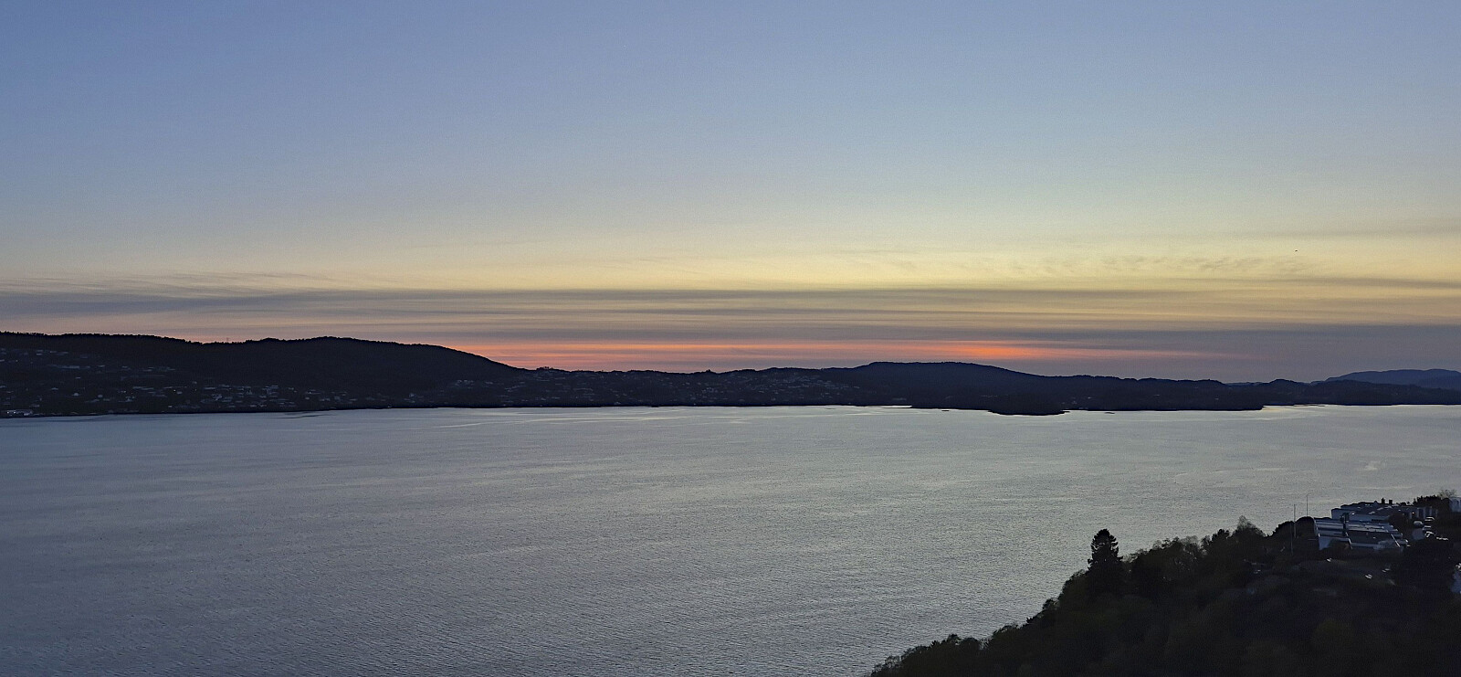
 Short local evening hike.
Barsnesfjorden
- Datum:
- 01.04.2026
- Tourcharakter:
- Wanderung
- Tourlänge:
- 0:51h
- Entfernung:
- 4,4km
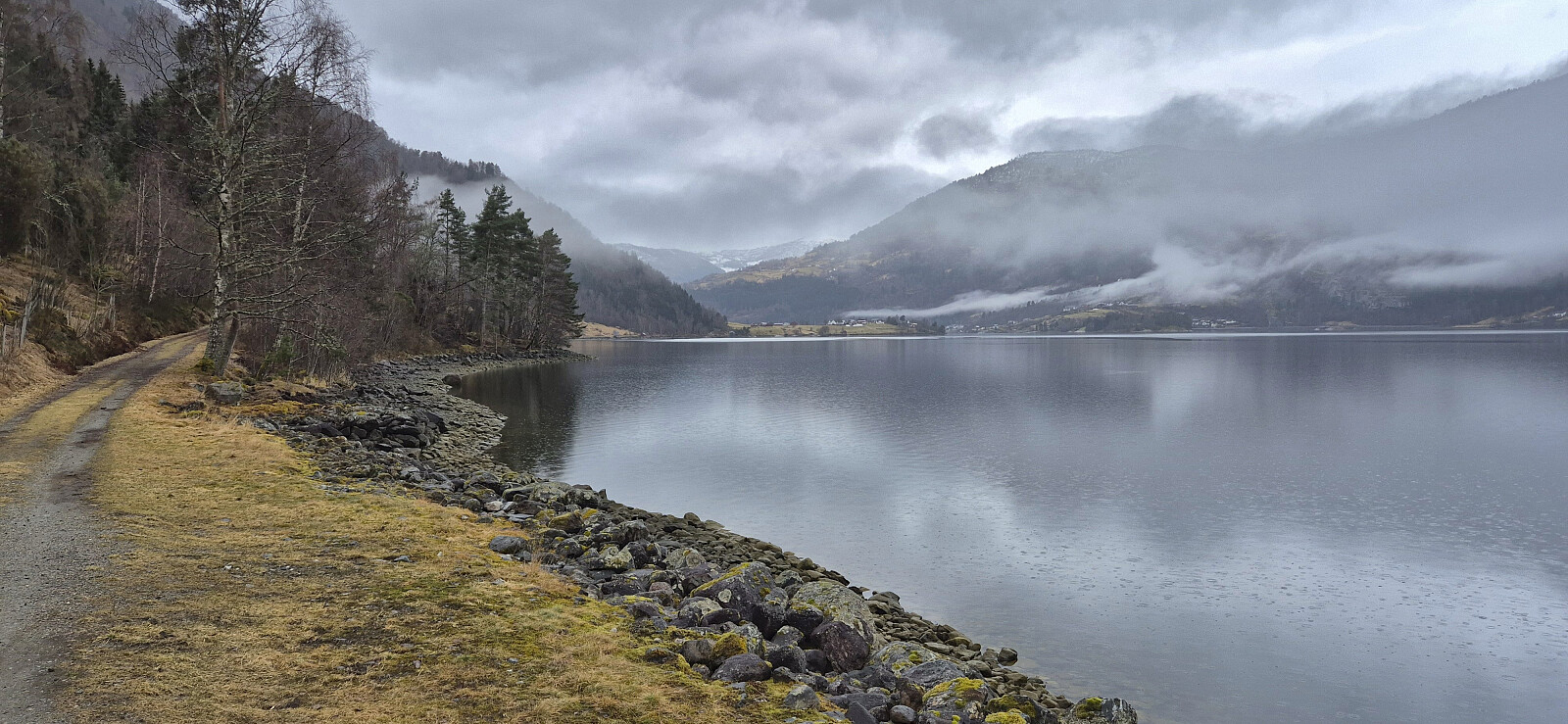 Short walk along Barsnesfjorden after a morning visit from a plumber to replace a pipe at the cabin that had burst during the cold winter.
(Note that the road this hike follows is private, i.e. no cars allowed. There are however a couple of parking spaces down by the small wharf along Barsnesfjorden just before the road turns west and starts climbing slightly towards the crossroads at Barsnes.)
Short walk along Barsnesfjorden after a morning visit from a plumber to replace a pipe at the cabin that had burst during the cold winter.
(Note that the road this hike follows is private, i.e. no cars allowed. There are however a couple of parking spaces down by the small wharf along Barsnesfjorden just before the road turns west and starts climbing slightly towards the crossroads at Barsnes.)
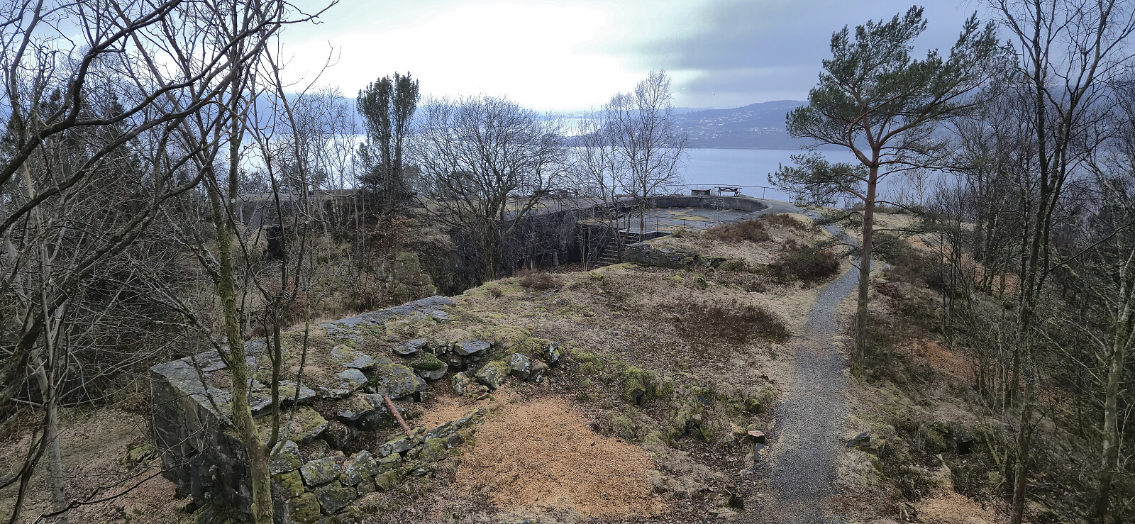
Hellen festning and Furukammen
- Datum:
- 28.03.2026
- Tourcharakter:
- Wanderung
- Tourlänge:
- 0:43h
- Entfernung:
- 2,2km
 Short local Saturday hike, partly joined by my mum and my oldest nephew.
Across Hellen festning
- Datum:
- 21.03.2026
- Tourcharakter:
- Wanderung
- Tourlänge:
- 0:35h
- Entfernung:
- 3,2km
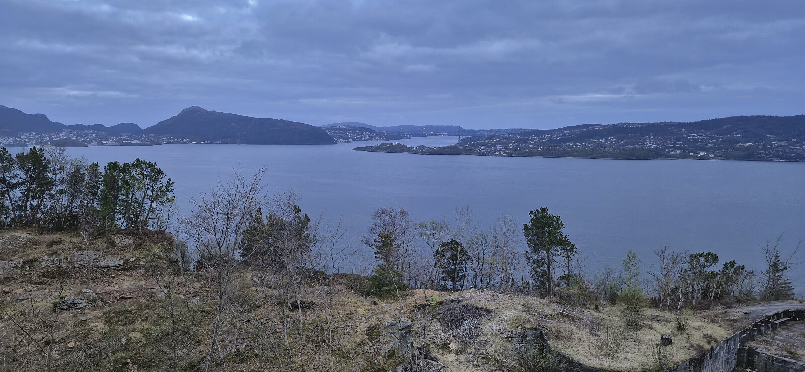
 Short local Saturday hike in light rain.
