Archive - Date
Archive - Activity
-
Bike trip (111)
- Bike trip - mixed (25)
- Bike trip - road (86)
-
Drive (9)
- Car drive (9)
-
Other trip (3)
- Kayaking (3)
-
Ski trip (116)
- Backcountry skiing (69)
- Cross-country skiing (47)
- Trip by foot (1897)
Collected lists
-
Utvalgte topper og turmål i Bergen
(349/351)
 99%
99% -
Alle topper i Bergen
(393/400)
98%
-
Voss ≥ 100m pf.
(96/98)
97%
-
Opptur Hordaland
(144/159)
90%
-
Stasjoner på Bergensbanen
(33/40)
82%
-
Ulvik ≥ 100m pf.
(30/38)
78%
-
Hordaland ≥ 100m pf.
(624/863)
72%
-
Mjølfjell PF > 100m
(21/31)
67%
-
Jondal ≥ 100m pf.
(15/23)
65%
-
Dagsturhyttene i Vestland
(36/61)
59%
-
Sunnhordland PF >= 100m
(105/186)
56%
-
Hordaland: Hardanger PF>=100m
(196/359)
54%
-
DNT-hytter i Hordaland
(23/45)
51%
-
Kvinnherad ≥ 100m pf.
(40/79)
50%
-
Eidfjord ≥ 100m pf.
(13/42)
30%
-
Sogndal ≥ 100m pf.
(23/81)
28%
-
Gulen ≥ 100m pf.
(15/54)
27%
-
Vik i Sogn ≥ 100m pf.
(10/46)
21%
-
Sogn - Sør for Sognefjorden PF>=100m
(31/159)
19%
-
DNT-hytter i Sogn og Fjordane
(8/47)
17%

Furukammen
- Date:
- 19.08.2023
- Characteristic:
- Hike
- Duration:
- 1:49h
- Distance:
- 4.8km
 Short local Saturday hike.
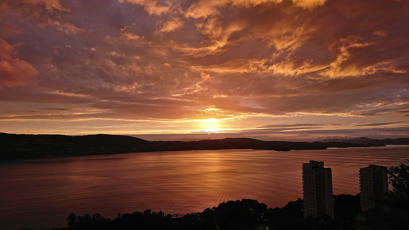
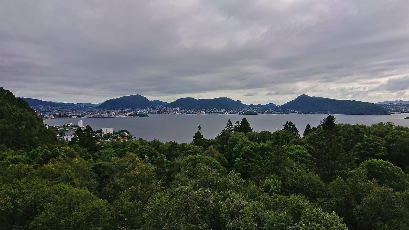
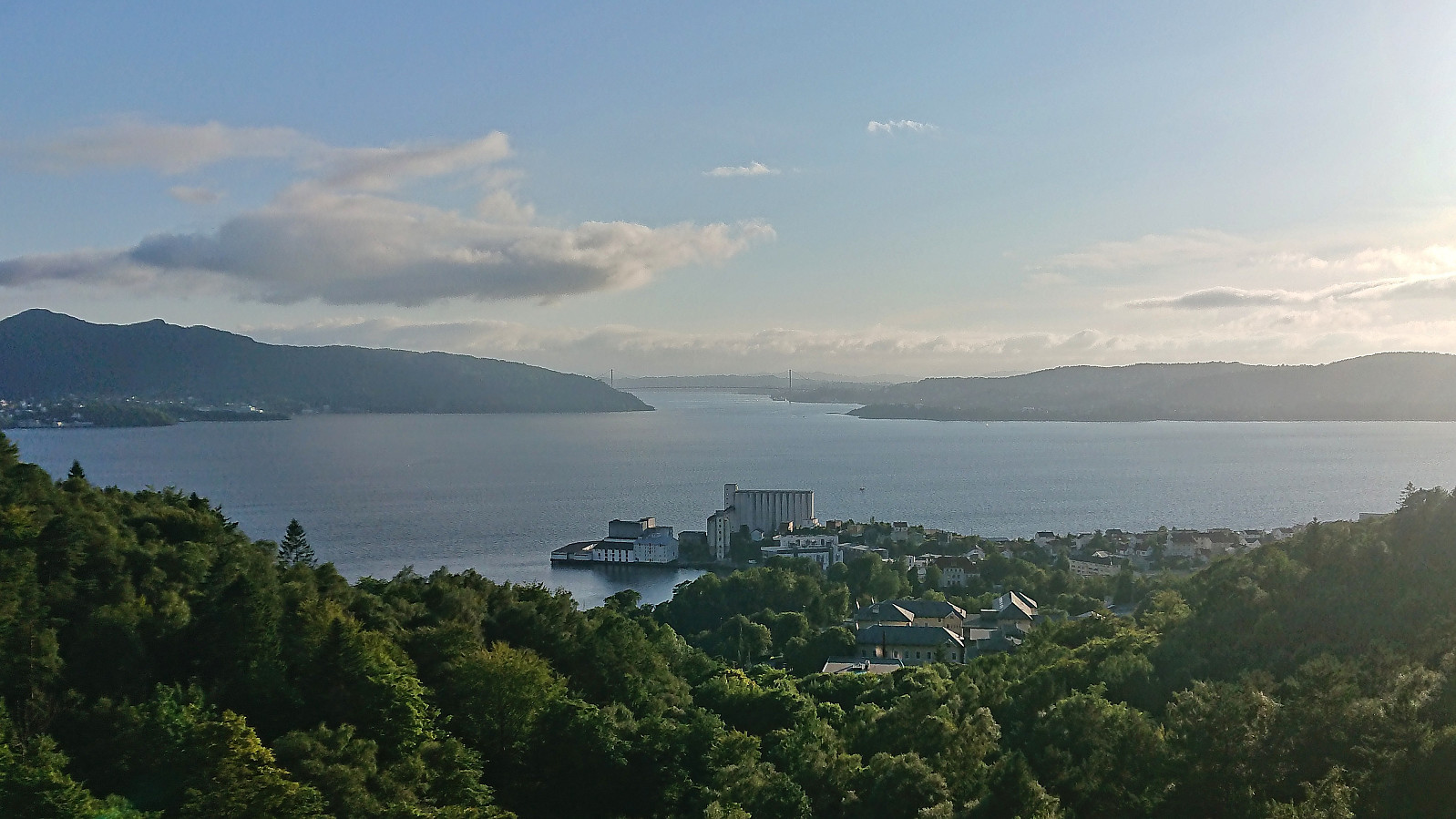
Across Hellen festning
- Date:
- 15.08.2023
- Characteristic:
- Hike
- Duration:
- 0:56h
- Distance:
- 4.0km
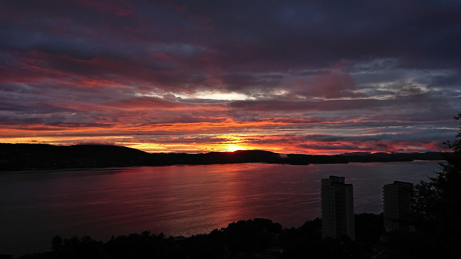 Short local evening hike catching the sunset at Hellen festning.
Across Hellen festning
- Date:
- 14.08.2023
- Characteristic:
- Hike
- Duration:
- 0:46h
- Distance:
- 3.6km
 Short local evening hike. Almost made it home before it started raining.
Across Hellen festning
- Date:
- 11.08.2023
- Characteristic:
- Hike
- Duration:
- 0:45h
- Distance:
- 3.7km
 Short local hike after work.
Across Hellen festning
- Date:
- 09.08.2023
- Characteristic:
- Hike
- Duration:
- 0:39h
- Distance:
- 3.2km
 Short local evening hike in the rain.
Across Hellen festning
- Date:
- 04.08.2023
- Characteristic:
- Hike
- Duration:
- 0:45h
- Distance:
- 3.6km
 Short local afternoon hike.
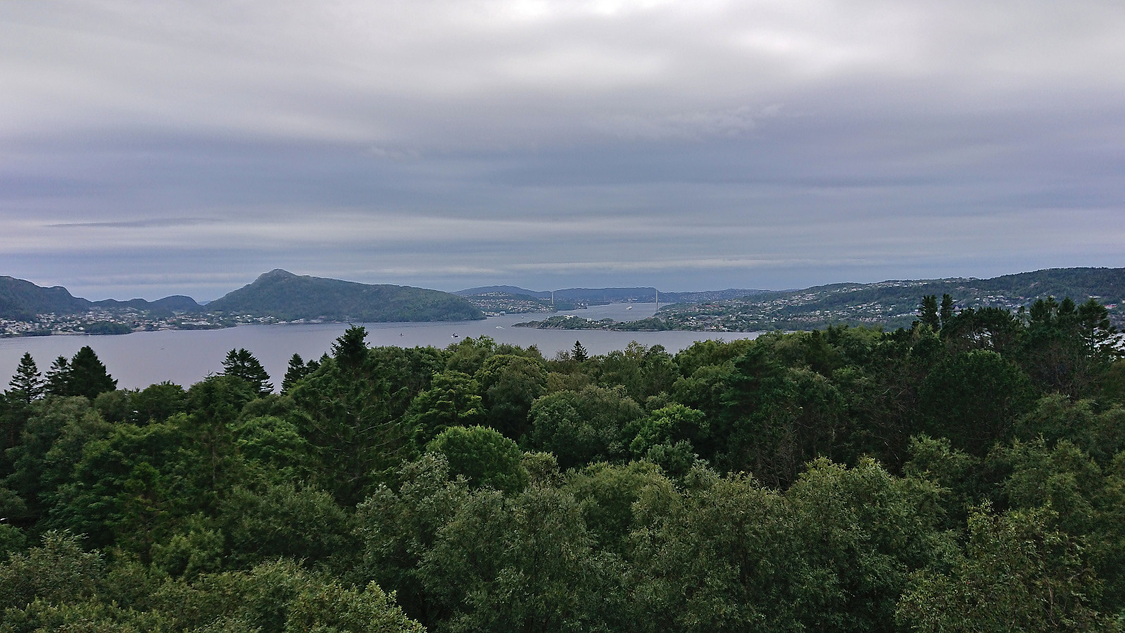
Hellemyrstien
- Date:
- 03.08.2023
- Characteristic:
- Hike
- Duration:
- 1:07h
- Distance:
- 5.7km
 Short local evening hike.
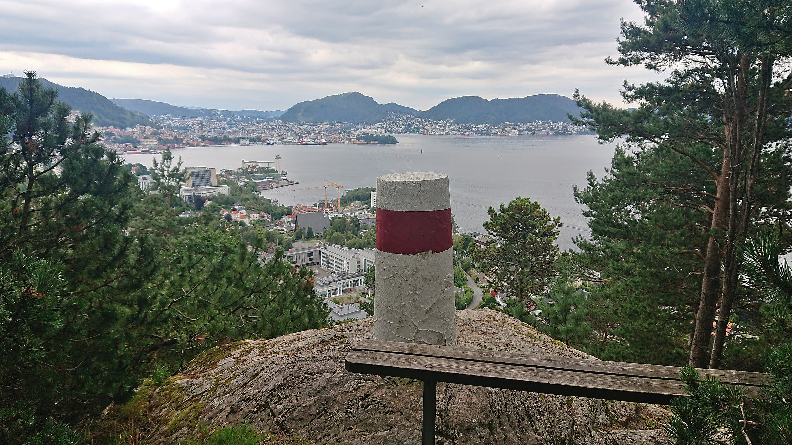
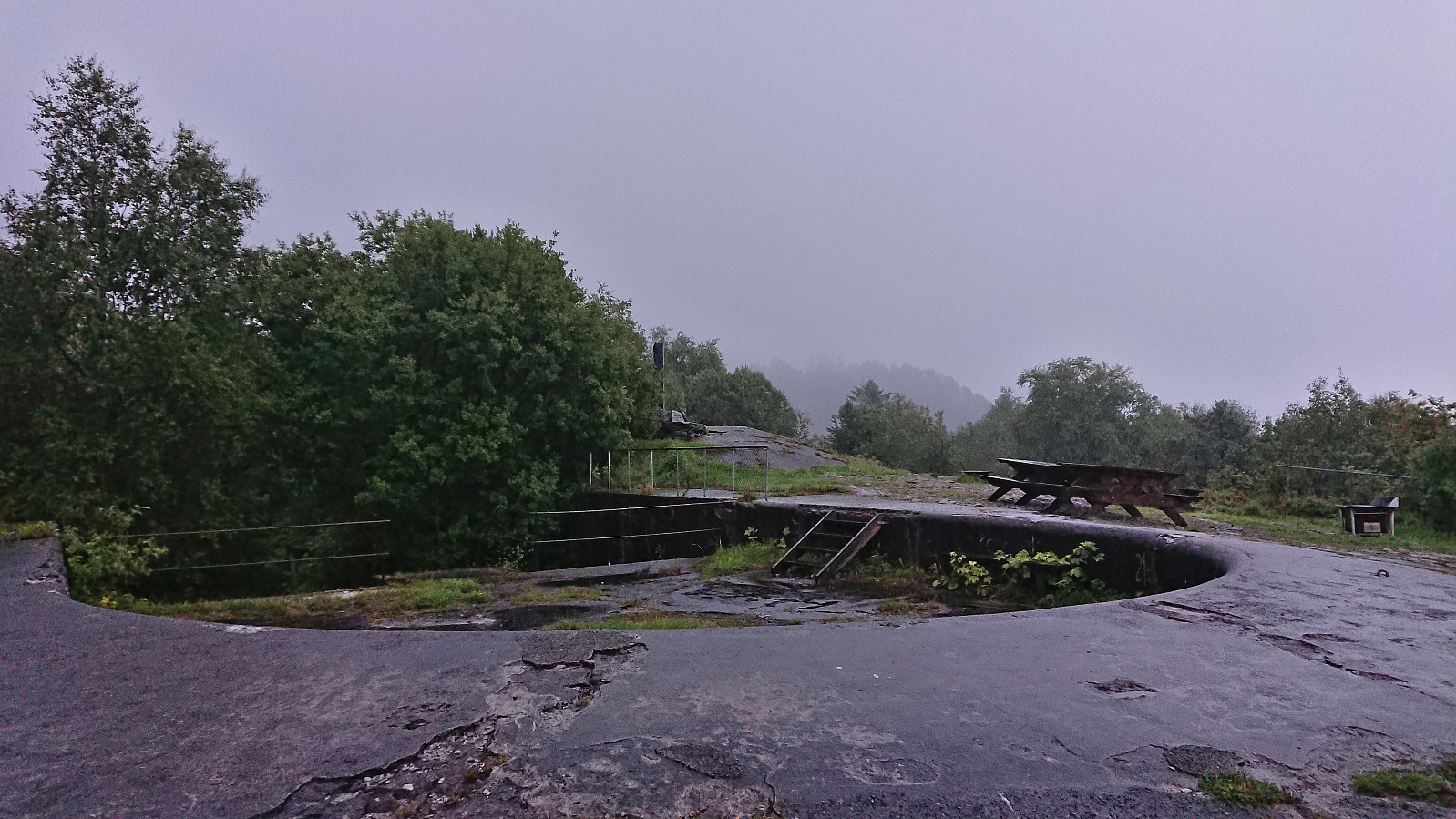
Hellen festning and Furukammen
- Date:
- 30.07.2023
- Characteristic:
- Hike
- Duration:
- 1:06h
- Distance:
- 4.9km
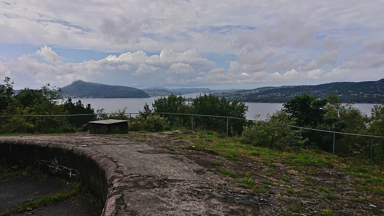 Short local hike in better weather than expected.
Dagsturhytta på Voss
- Date:
- 29.07.2023
- Characteristic:
- Hike
- Duration:
- 2:44h
- Distance:
- 11.1km
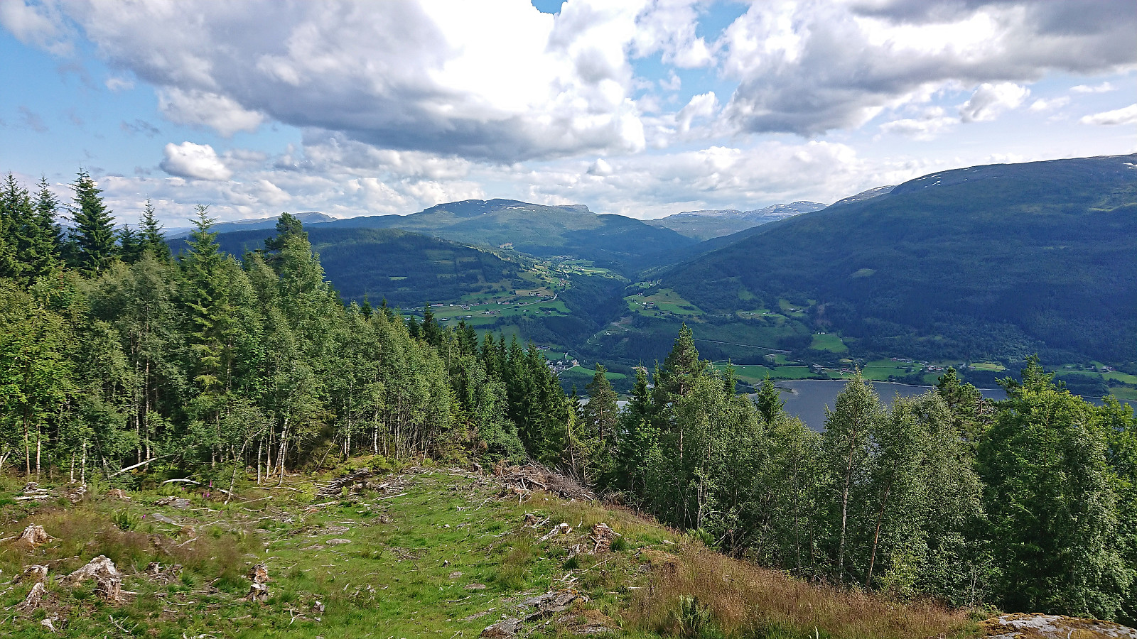 After yesterday's long hike in Vaksdal I was initially planning on taking it easy today. However, the excellent weather conditions made me reconsider and I decided on a visit of the new dagsturhytte at Voss as a reasonable compromise. The cabin will not officially open until the fall but is already complete and ready for visitors. You can find more information about the cabin and how to get to it here .
I started by taking the train to Voss. From the train station I followed various roads, and two shortcuts, up to the start of Raugstadvegen. Here the road changed from pavement to gravel and I soon had to pass through a gate with the potential of grazing cows and sheep on the other side. I only saw a couple of horses though and they did not pay me much attention.
At the next crossroads I left the gravel road and turned northeast on a rougher tractor road and passed through >>>
After yesterday's long hike in Vaksdal I was initially planning on taking it easy today. However, the excellent weather conditions made me reconsider and I decided on a visit of the new dagsturhytte at Voss as a reasonable compromise. The cabin will not officially open until the fall but is already complete and ready for visitors. You can find more information about the cabin and how to get to it here .
I started by taking the train to Voss. From the train station I followed various roads, and two shortcuts, up to the start of Raugstadvegen. Here the road changed from pavement to gravel and I soon had to pass through a gate with the potential of grazing cows and sheep on the other side. I only saw a couple of horses though and they did not pay me much attention.
At the next crossroads I left the gravel road and turned northeast on a rougher tractor road and passed through >>>
Furukammen and Helleveien
- Date:
- 26.07.2023
- Characteristic:
- Hike
- Duration:
- 1:05h
- Distance:
- 4.6km
 Short local hike.
