Archive - Date
Archive - Activity
-
Bike trip (111)
- Bike trip - mixed (25)
- Bike trip - road (86)
-
Drive (9)
- Car drive (9)
-
Other trip (3)
- Kayaking (3)
-
Ski trip (116)
- Backcountry skiing (69)
- Cross-country skiing (47)
- Trip by foot (1897)
Collected lists
-
Utvalgte topper og turmål i Bergen
(349/351)
 99%
99% -
Alle topper i Bergen
(393/400)
98%
-
Voss ≥ 100m pf.
(96/98)
97%
-
Opptur Hordaland
(144/159)
90%
-
Stasjoner på Bergensbanen
(33/40)
82%
-
Ulvik ≥ 100m pf.
(30/38)
78%
-
Hordaland ≥ 100m pf.
(624/863)
72%
-
Mjølfjell PF > 100m
(21/31)
67%
-
Jondal ≥ 100m pf.
(15/23)
65%
-
Dagsturhyttene i Vestland
(36/61)
59%
-
Sunnhordland PF >= 100m
(105/186)
56%
-
Hordaland: Hardanger PF>=100m
(196/359)
54%
-
DNT-hytter i Hordaland
(23/45)
51%
-
Kvinnherad ≥ 100m pf.
(40/79)
50%
-
Eidfjord ≥ 100m pf.
(13/42)
30%
-
Sogndal ≥ 100m pf.
(23/81)
28%
-
Gulen ≥ 100m pf.
(15/54)
27%
-
Vik i Sogn ≥ 100m pf.
(10/46)
21%
-
Sogn - Sør for Sognefjorden PF>=100m
(31/159)
19%
-
DNT-hytter i Sogn og Fjordane
(8/47)
17%

Vossavangen to Seimsgrend
- Date:
- 08.10.2023
- Characteristic:
- Hike
- Duration:
- 2:15h
- Distance:
- 11.9km
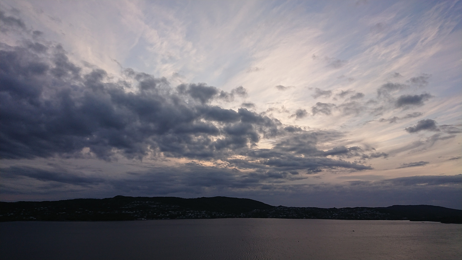
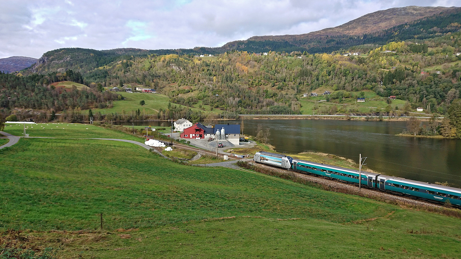 Still low on energy after a week on the couch due to the flu, I decided to go for something less ambitious than usual on a Sunday. The main goal being to visit my only remaining train stop between Bergen and Ljosandbotn (see the Stasjoner på Bergensbanen list ), namely Seimsgrend haldeplass . I took the train to Voss and from there simply followed a combination of cycling/walking paths and smaller roads with limited traffic east to Bulken . Here I crossed the river via the bridge and briefly continued along the main road to Hamlagrø. An increase in the amount of traffic and the lack of a sidewalk made this the least enjoyable part of the hike. Thankfully it only lasted for less than 1 km before I could leave the main road and start descending on the smaller gravel road to Seim. The train stop at Seim/Seimsgrend was easily located and I only had to wait around 15 minutes >>>
Across Hellen festning
- Date:
- 07.10.2023
- Characteristic:
- Hike
- Duration:
- 0:37h
- Distance:
- 3.1km
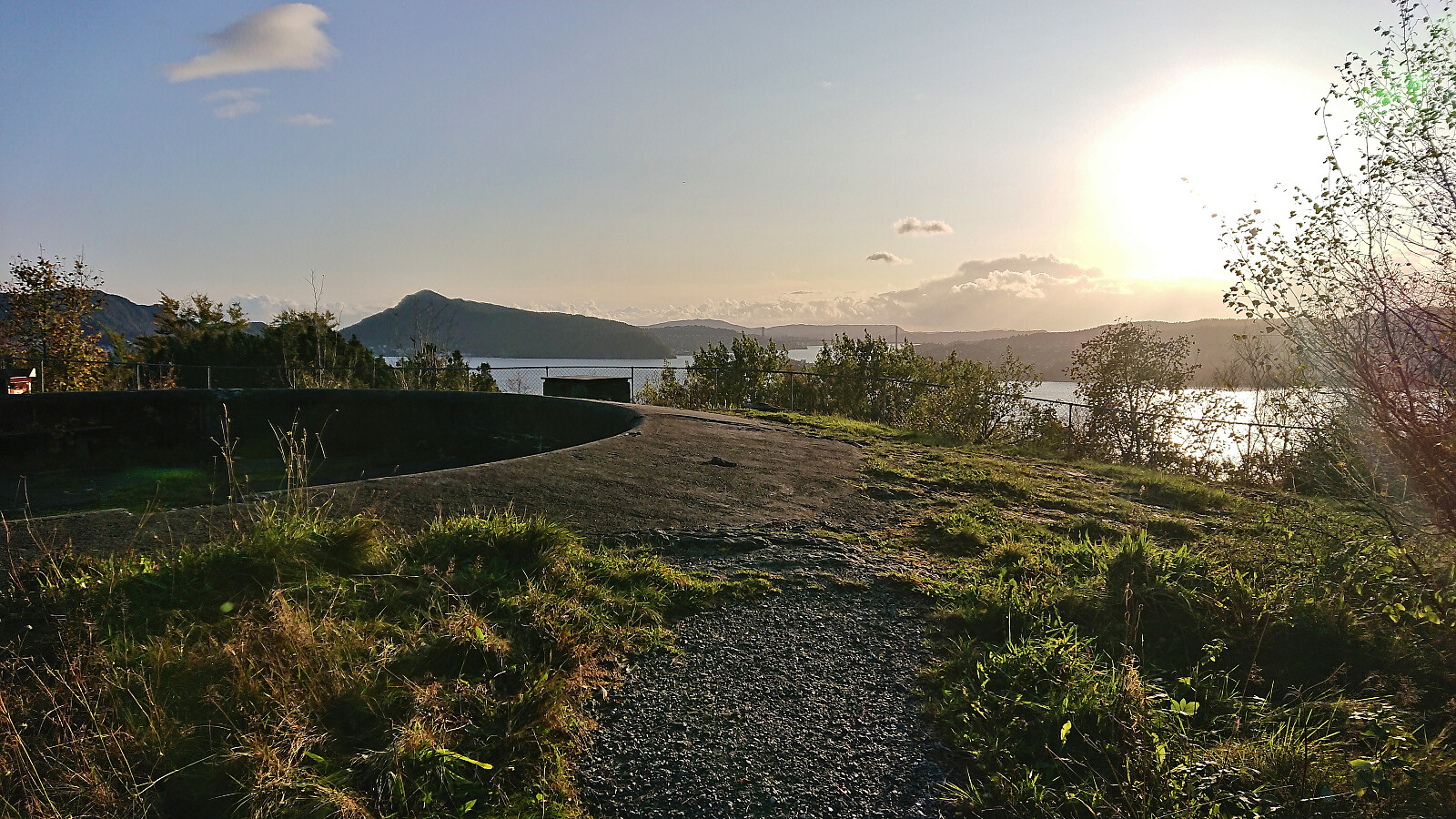 Short local Saturday hike after spending most of the preceding week on the couch due to the flu.
Across Hellen festning
- Date:
- 30.09.2023
- Characteristic:
- Hike
- Duration:
- 0:37h
- Distance:
- 3.2km
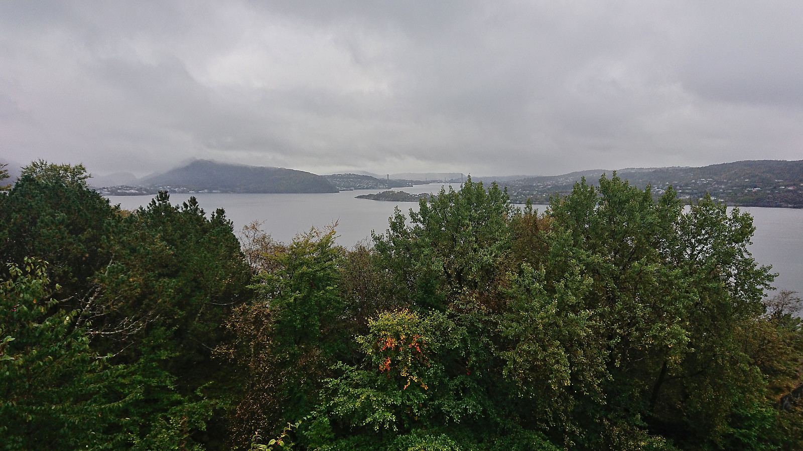 Short local hike on a wet and gray Saturday.
Helleveien and Furukammen
- Date:
- 27.09.2023
- Characteristic:
- Hike
- Duration:
- 1:36h
- Distance:
- 5.2km
 Short local evening hike.
Across Hellen festning
- Date:
- 26.09.2023
- Characteristic:
- Hike
- Duration:
- 0:36h
- Distance:
- 3.2km
 Short local evening hike.
Across Hellen festning
- Date:
- 22.09.2023
- Characteristic:
- Hike
- Duration:
- 0:36h
- Distance:
- 3.2km
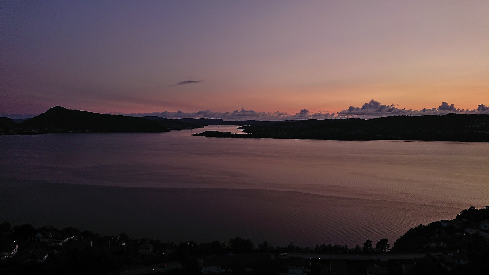
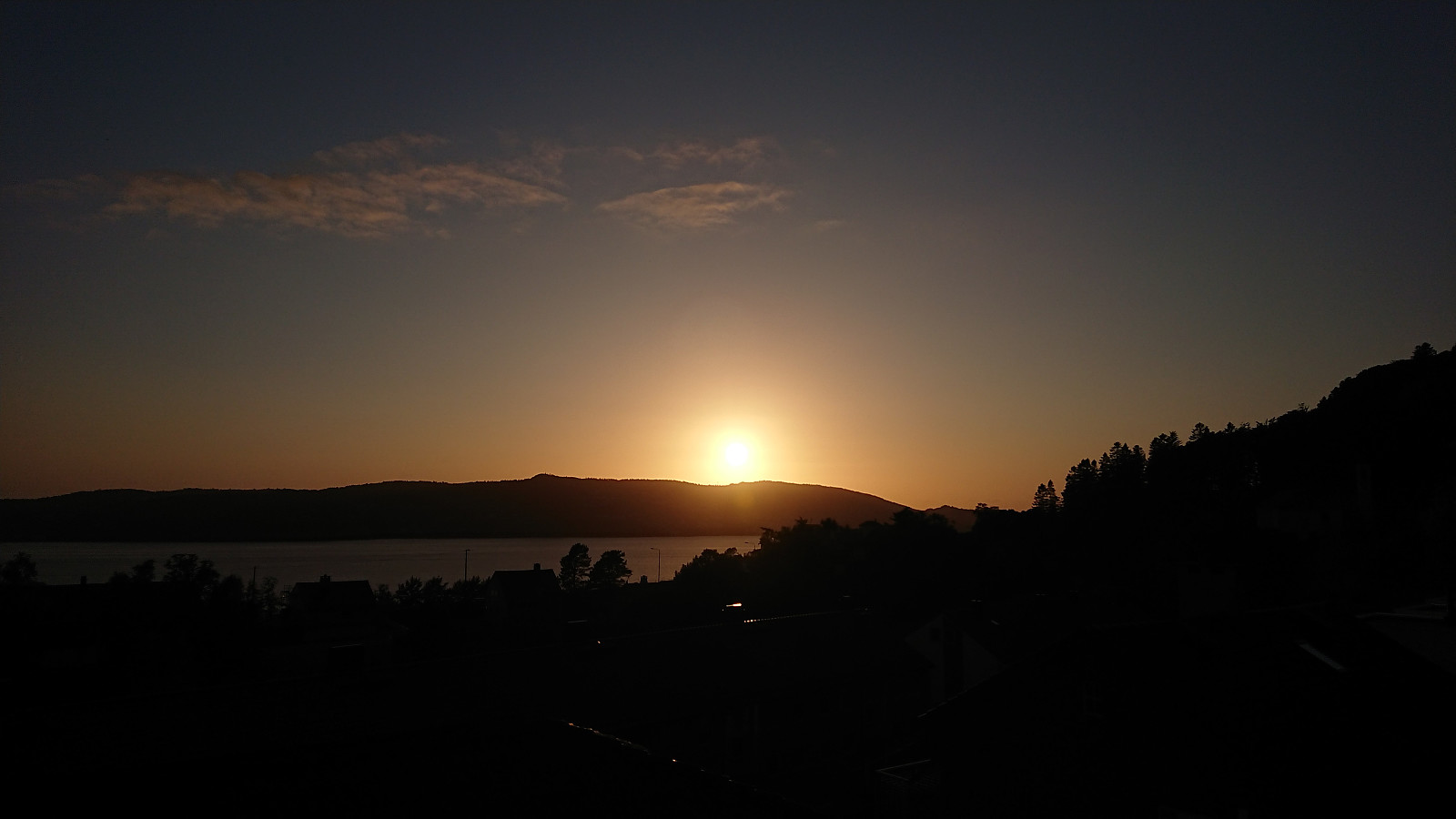
 Short local evening hike just before sunset.
Hellen festning and Furukammen
- Date:
- 16.09.2023
- Characteristic:
- Hike
- Duration:
- 3:18h
- Distance:
- 4.4km
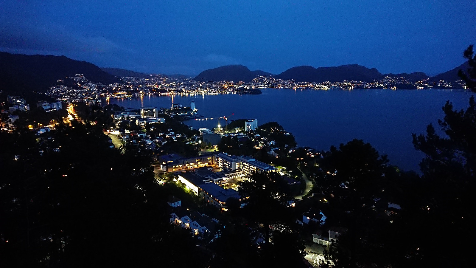
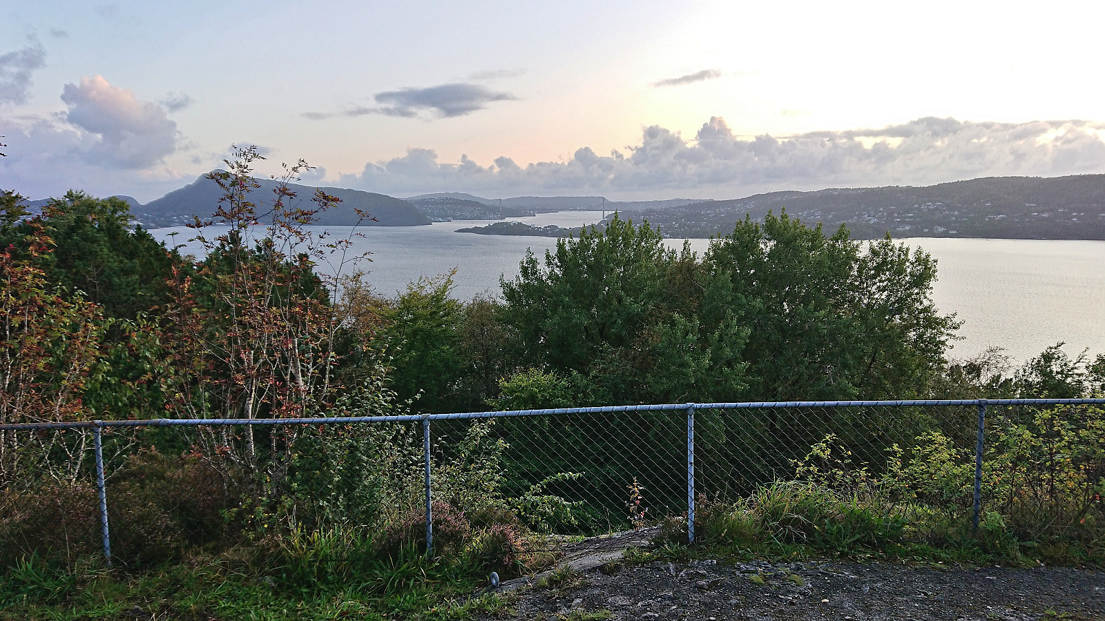
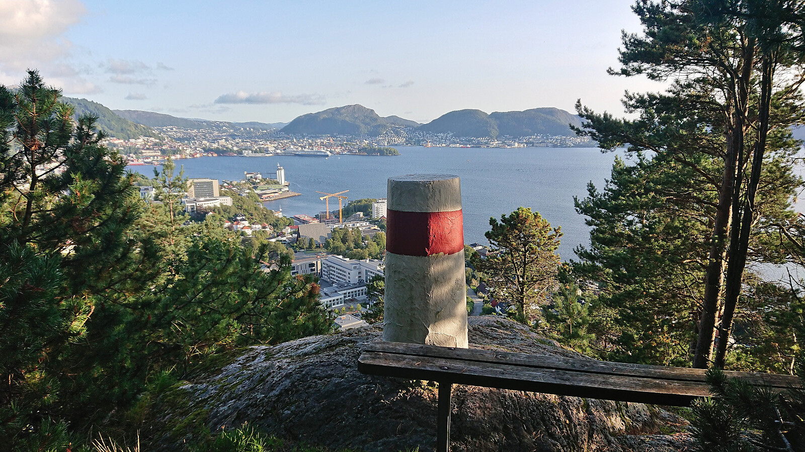
 Short local Saturday hike with a longer stop in Øyjorden.
Helleneset and Hellen festning
- Date:
- 10.09.2023
- Characteristic:
- Hike
- Duration:
- 0:51h
- Distance:
- 4.0km
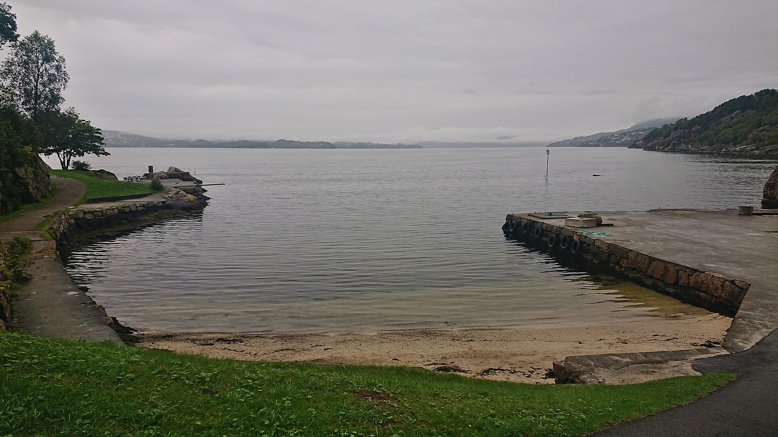 Short local hike on a gray Sunday.
Across Hellen festning
- Date:
- 05.09.2023
- Characteristic:
- Hike
- Duration:
- 0:36h
- Distance:
- 3.1km
 Short local evening hike.
Hellen festning, Furukammen and Ørneberget NV
- Date:
- 01.09.2023
- Characteristic:
- Hike
- Duration:
- 2:10h
- Distance:
- 6.0km
 Short local evening hike.
