Archive - Date
Archive - Activity
-
Bike trip (111)
- Bike trip - mixed (25)
- Bike trip - road (86)
-
Drive (9)
- Car drive (9)
-
Other trip (3)
- Kayaking (3)
-
Ski trip (116)
- Backcountry skiing (69)
- Cross-country skiing (47)
- Trip by foot (1897)
Collected lists
-
Utvalgte topper og turmål i Bergen
(349/351)
 99%
99% -
Alle topper i Bergen
(393/400)
98%
-
Voss ≥ 100m pf.
(96/98)
97%
-
Opptur Hordaland
(144/159)
90%
-
Stasjoner på Bergensbanen
(33/40)
82%
-
Ulvik ≥ 100m pf.
(30/38)
78%
-
Hordaland ≥ 100m pf.
(624/863)
72%
-
Mjølfjell PF > 100m
(21/31)
67%
-
Jondal ≥ 100m pf.
(15/23)
65%
-
Dagsturhyttene i Vestland
(36/61)
59%
-
Sunnhordland PF >= 100m
(105/186)
56%
-
Hordaland: Hardanger PF>=100m
(196/359)
54%
-
DNT-hytter i Hordaland
(23/45)
51%
-
Kvinnherad ≥ 100m pf.
(40/79)
50%
-
Eidfjord ≥ 100m pf.
(13/42)
30%
-
Sogndal ≥ 100m pf.
(23/81)
28%
-
Gulen ≥ 100m pf.
(15/54)
27%
-
Vik i Sogn ≥ 100m pf.
(10/46)
21%
-
Sogn - Sør for Sognefjorden PF>=100m
(31/159)
19%
-
DNT-hytter i Sogn og Fjordane
(8/47)
17%

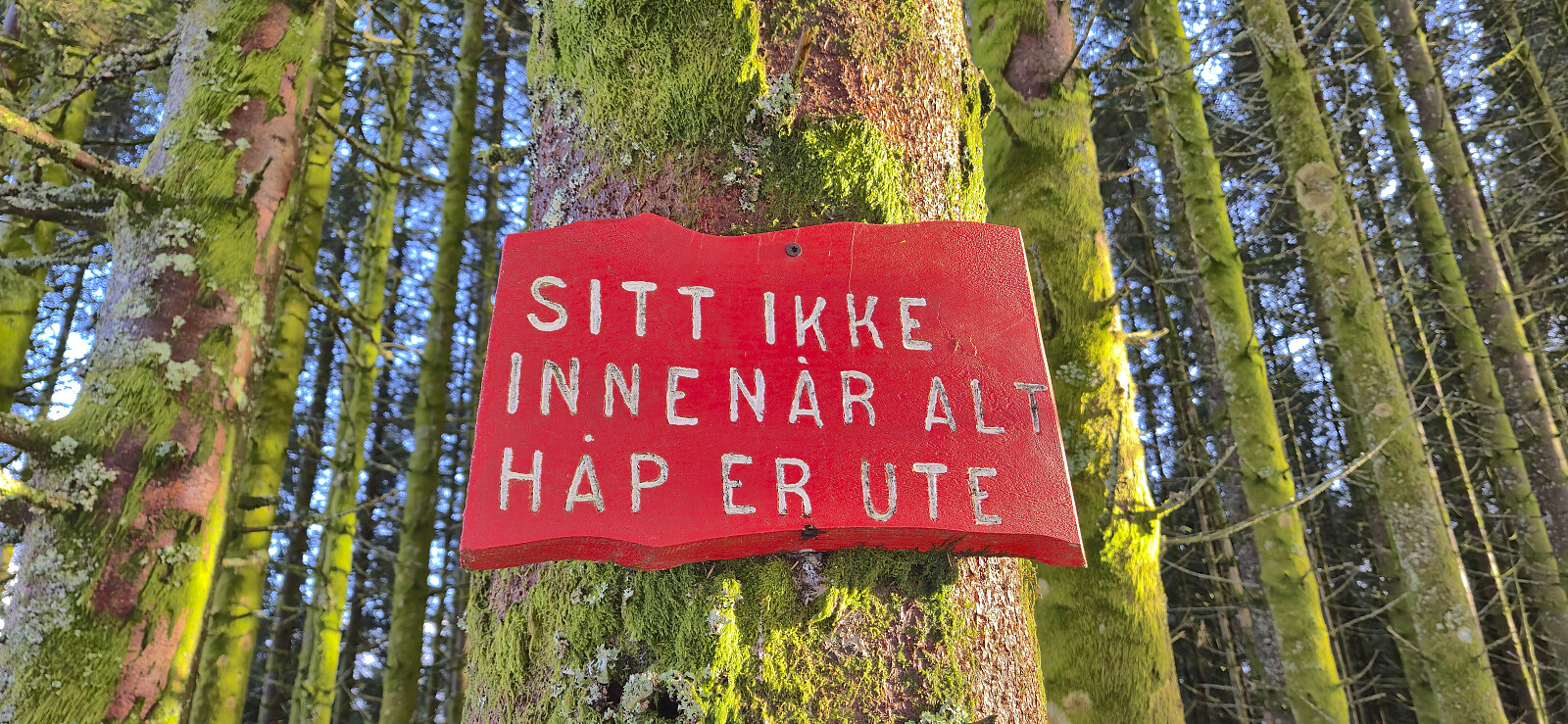
Hellen festning and Furukammen
- Date:
- 22.02.2026
- Characteristic:
- Hike
- Duration:
- 2:26h
- Distance:
- 4.6km
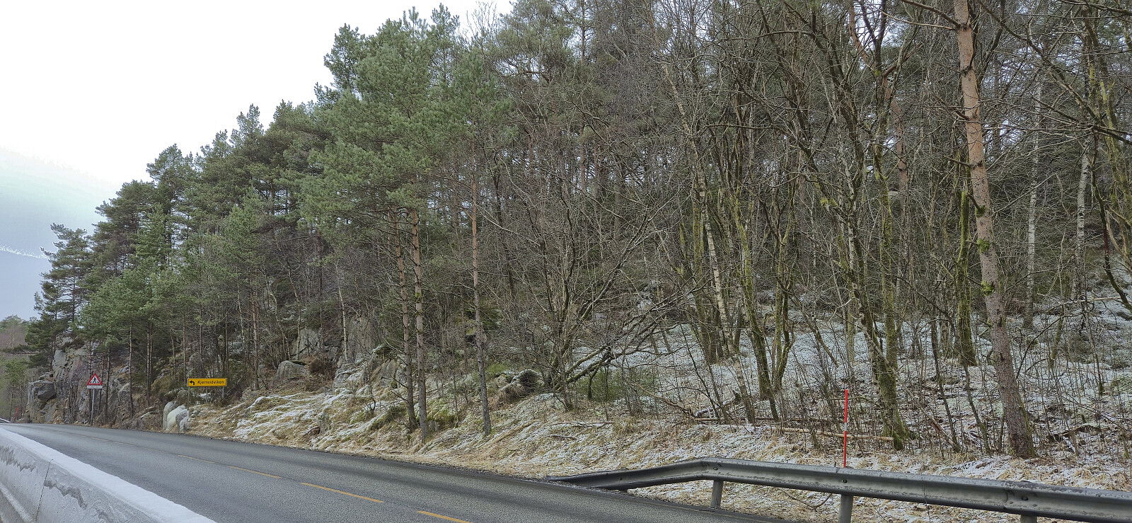
 Short local Sunday hike during a light snow shower that would later turned into rain.
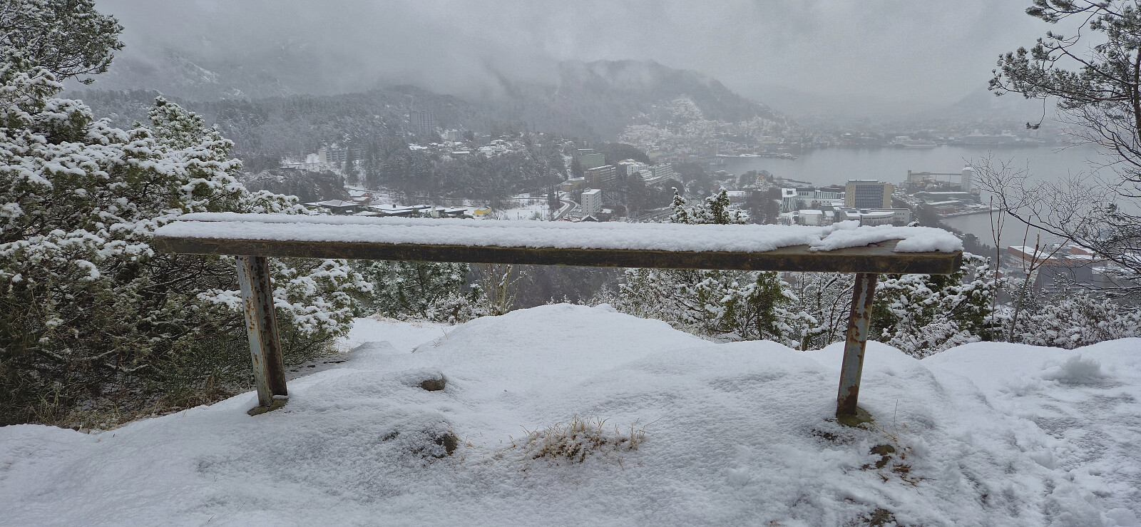
Sædalen to Bratland Camping via Hauggjelsvarden
- Date:
- 21.02.2026
- Characteristic:
- Hillwalk
- Duration:
- 4:09h
- Distance:
- 10.5km
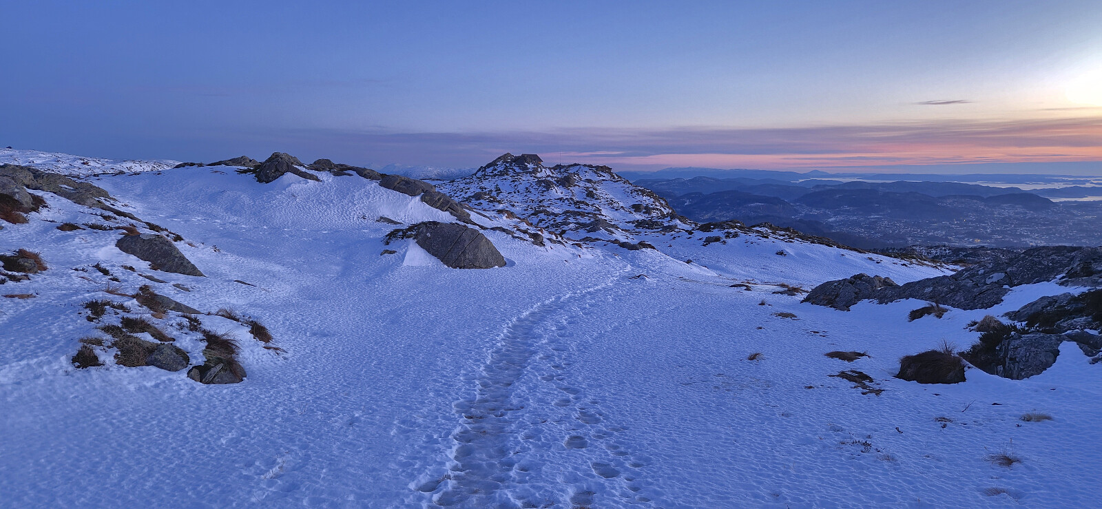
 A return to Hauggjelsvarden for the second Saturday in a row. I had initially considered skiing across Vidden but a quick look at the web camera at Ulriken changed my mind. Instead I opted for exploring a new route from Sædalen to Bratland Camping via Hauggjelsvarden, which was overall a success.
Across Hellen festning
- Date:
- 18.02.2026
- Characteristic:
- Hike
- Duration:
- 0:43h
- Distance:
- 3.2km
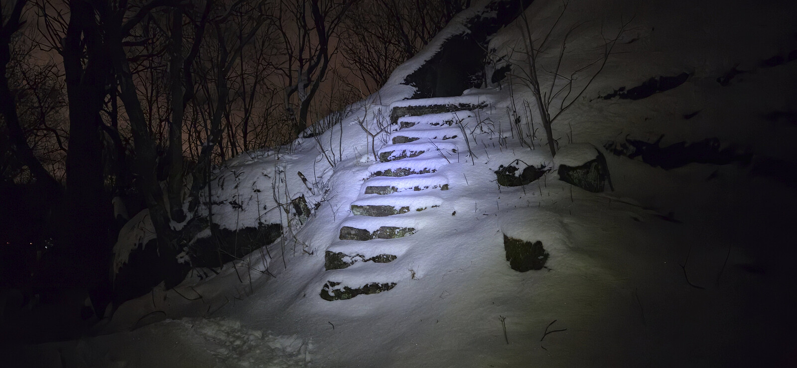 Short local evening hike.
Hellen festning and Furukammen
- Date:
- 15.02.2026
- Characteristic:
- Hike
- Duration:
- 3:10h
- Distance:
- 4.4km
 Short local Sunday hike.
Hauggjelsvarden from Sædalen via Erdalsvarden
- Date:
- 14.02.2026
- Characteristic:
- Hillwalk
- Duration:
- 4:33h
- Distance:
- 11.8km
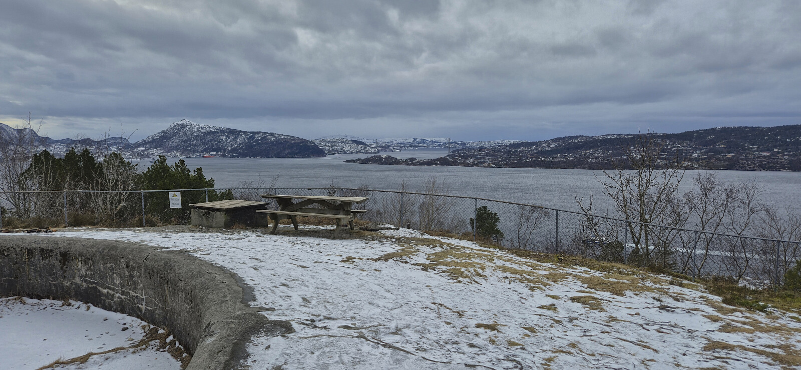
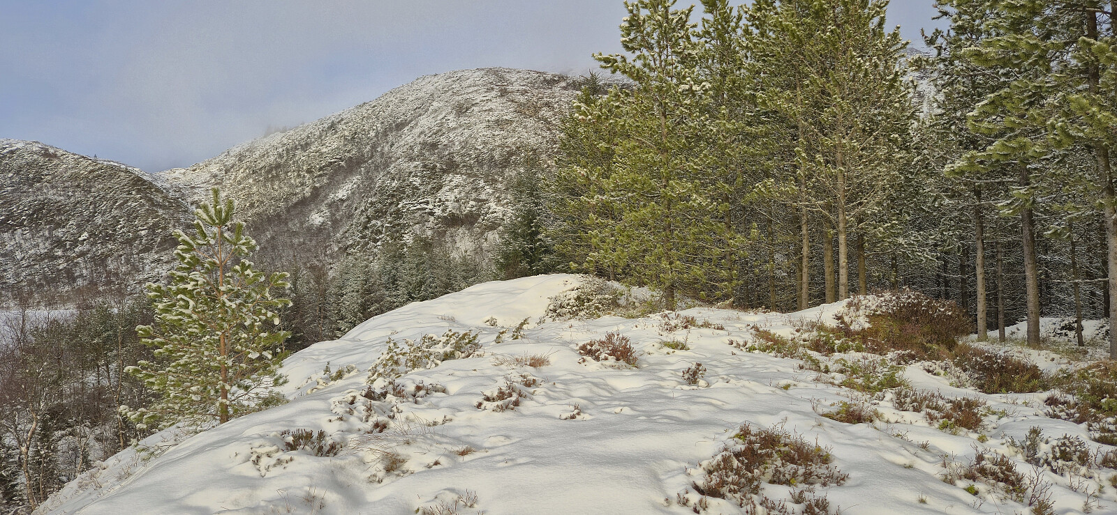 Saturday hike in fresh snow exploring a new route to Hauggjelsvarden via Erdalsvarden . The trailhead from Helldalslia was marked however the trail itself was not always easy to follow, largely due to the snow but also due to lots of fallen trees partially blocking the way. How closely I later followed the trail towards Erdalsvarden I'm not sure but I think I did pretty good. From Erdalsvarden I headed off-trail towards Valhal and then continued to Byfjellenes høyeste punkt and Hauggjelsvarden, before circling back to Turnerhytten and descending via a (for me) new route passing by Gimle . During the descent, I made a quick visit of Krossen where I was able to follow a trail almost to the highest point that also continued to the gravel road to the south. The hike was finally concluded with a light jog down the gravel road in order to return to Sædalen in time for the bus back >>>
Across Hellen festning
- Date:
- 12.02.2026
- Characteristic:
- Hike
- Duration:
- 0:38h
- Distance:
- 3.2km
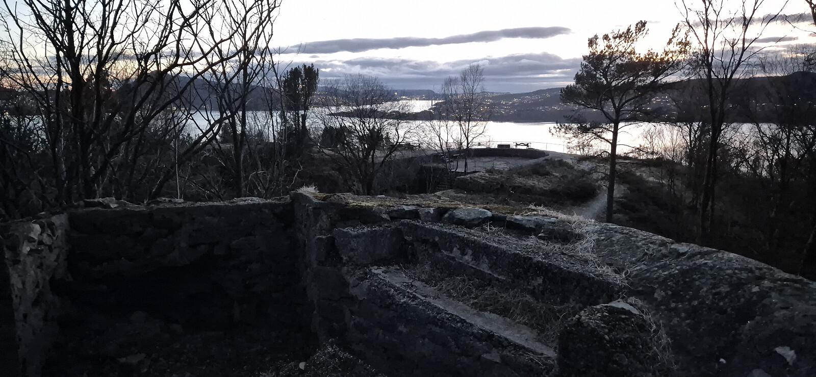 Short local hike after work.
Orrtua and Storerinden
- Date:
- 11.02.2026
- Characteristic:
- Hillwalk
- Duration:
- 1:38h
- Distance:
- 4.1km
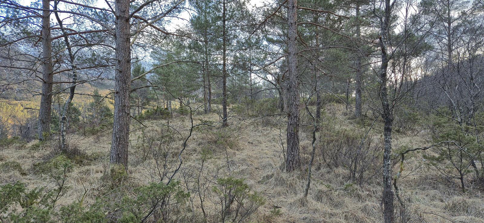 I left work early for a short hike from Bontveit to Hausdalen to visit two minor peaks on the Alle topper i Bergen list . First up was Orrtua which to my surprise could be very easily ascended via a tractor road/trail (not shown on the map) that took me almost all the way to the summit. The highest point even had much better views than expected. Getting from Orrtua to Storerinden also provided fewer challenges than feared and I even came across an old trail shortly before arriving at the gravel road north of Storerinden. From there it was straightforward to reach the summit via various deer tracks. Limited views from the summit itself, but better views to the northeast just north of the highest point. The hike was completed by returning to the gravel road and heading southwest along the main road before getting on the bus.
Kløvsnipa
- Date:
- 08.02.2026
- Characteristic:
- Hillwalk
- Duration:
- 1:44h
- Distance:
- 6.5km
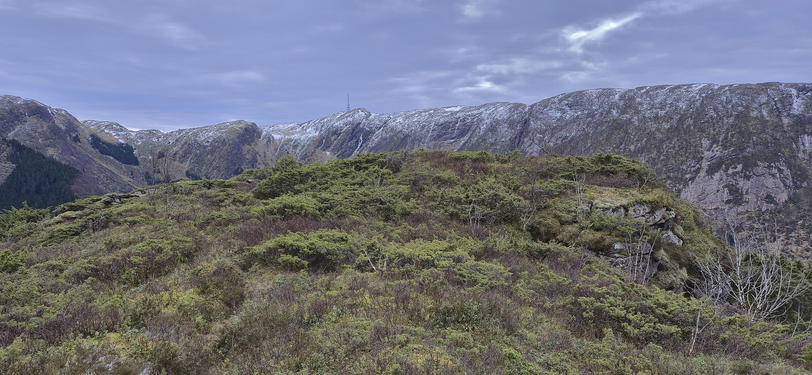 Sunday hike along a trail I discovered during last weekend's hike from Flaktveit to Selvik . Overall a positive experience with great views along the way.
Botnahaugen, Ørnahaugen and Straumsfjellet
- Date:
- 07.02.2026
- Characteristic:
- Hillwalk
- Duration:
- 2:20h
- Distance:
- 7.4km
 Short Saturday hike in light snow and rain exploring the area on the eastern side of Mathopsvågen. Overall a nice hike along decent trails with great views, although the off-trail ascent of Botnahaugen can be skipped without missing anything. Ørnahaugen was on the other hand a positive surprise.
Oppstemten and Landåseggen
- Date:
- 05.02.2026
- Characteristic:
- Hillwalk
- Duration:
- 2:11h
- Distance:
- 6.2km
 Short hike after work to catch the sunset at Ulriken. Lots of ice that made snow chains mandatory, especially for the final section of Oppstemten and for most of the following descent along Landåseggen, which most likely explains the unusually low number of other hikers on this sunny afternoon.
