Archive - Date
Archive - Activity
-
Bike trip (108)
- Bike trip - mixed (25)
- Bike trip - road (83)
-
Drive (9)
- Car drive (9)
-
Other trip (3)
- Kayaking (3)
-
Ski trip (115)
- Backcountry skiing (68)
- Cross-country skiing (47)
- Trip by foot (1870)
Collected lists
-
Utvalgte topper og turmål i Bergen
(346/347)
 99%
99% -
Alle topper i Bergen
(391/398)
98%
-
Voss ≥ 100m pf.
(96/98)
97%
-
Opptur Hordaland
(144/159)
90%
-
Stasjoner på Bergensbanen
(31/40)
77%
-
Ulvik ≥ 100m pf.
(28/38)
73%
-
Hordaland ≥ 100m pf.
(619/863)
71%
-
Mjølfjell PF > 100m
(21/31)
67%
-
Jondal ≥ 100m pf.
(15/23)
65%
-
Dagsturhyttene i Vestland
(36/61)
59%
-
Sunnhordland PF >= 100m
(105/186)
56%
-
Hordaland: Hardanger PF>=100m
(191/359)
53%
-
DNT-hytter i Hordaland
(23/45)
51%
-
Kvinnherad ≥ 100m pf.
(40/79)
50%
-
Sogndal ≥ 100m pf.
(23/81)
28%
-
Gulen ≥ 100m pf.
(14/54)
25%
-
Eidfjord ≥ 100m pf.
(10/42)
23%
-
Vik i Sogn ≥ 100m pf.
(10/46)
21%
-
Sogn - Sør for Sognefjorden PF>=100m
(30/159)
18%
-
DNT-hytter i Sogn og Fjordane
(8/47)
17%

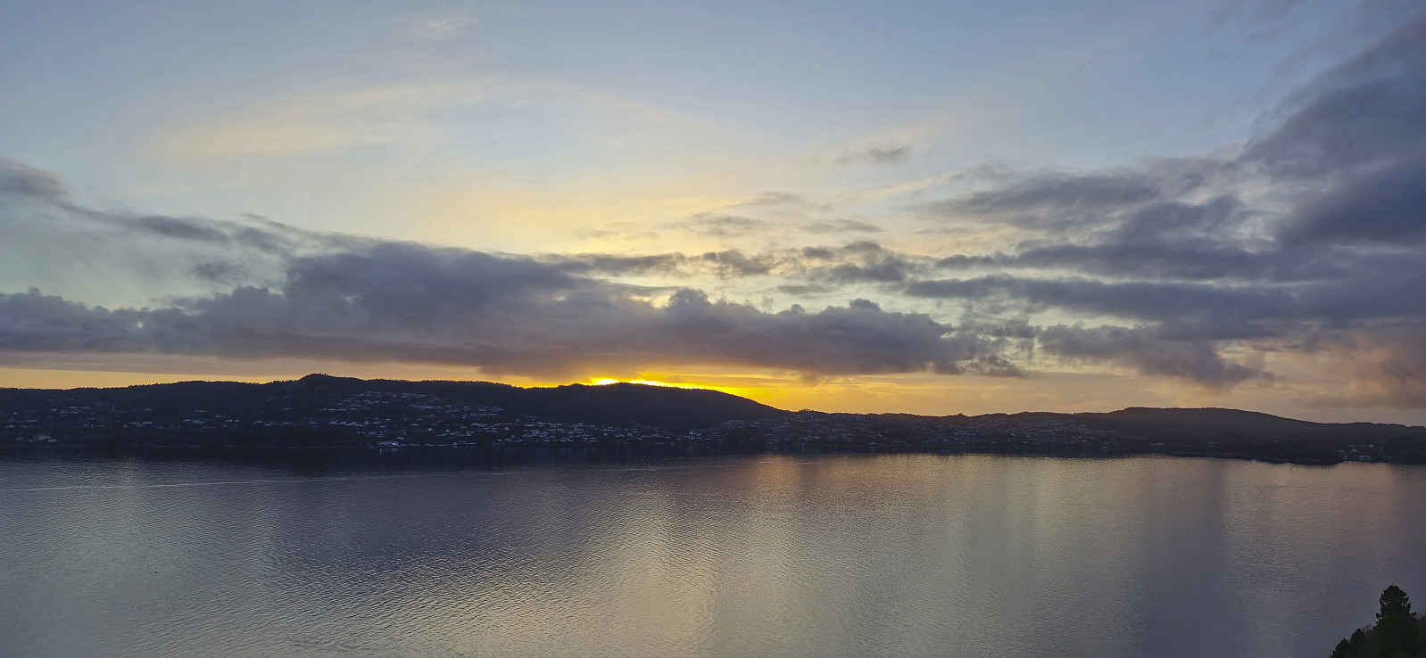
Ørneberget and Furukammen
- Date:
- 05.04.2024
- Characteristic:
- Hillwalk
- Duration:
- 1:09h
- Distance:
- 4.3km
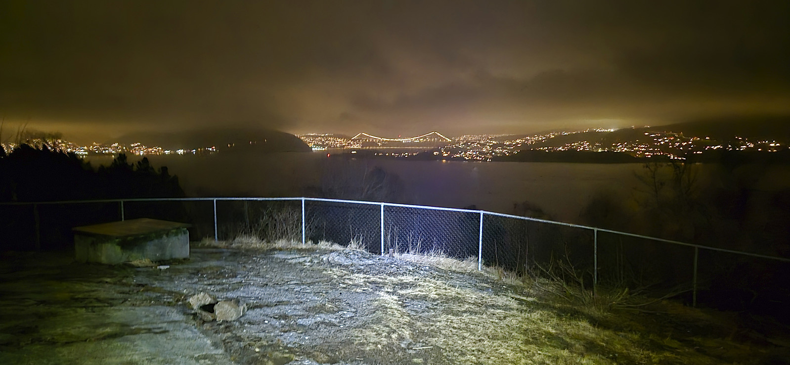
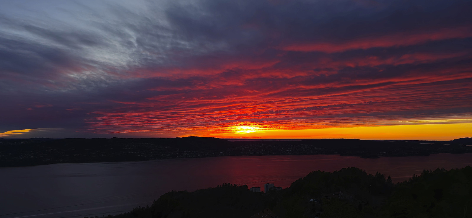 Short local evening hike to catch the sunset at Ørneberget .
Across Hellen festning
- Date:
- 04.04.2024
- Characteristic:
- Hike
- Duration:
- 0:37h
- Distance:
- 3.1km
 Short local evening hike.
Sandviksbatteriet
- Date:
- 02.04.2024
- Characteristic:
- Hike
- Duration:
- 1:20h
- Distance:
- 7.3km
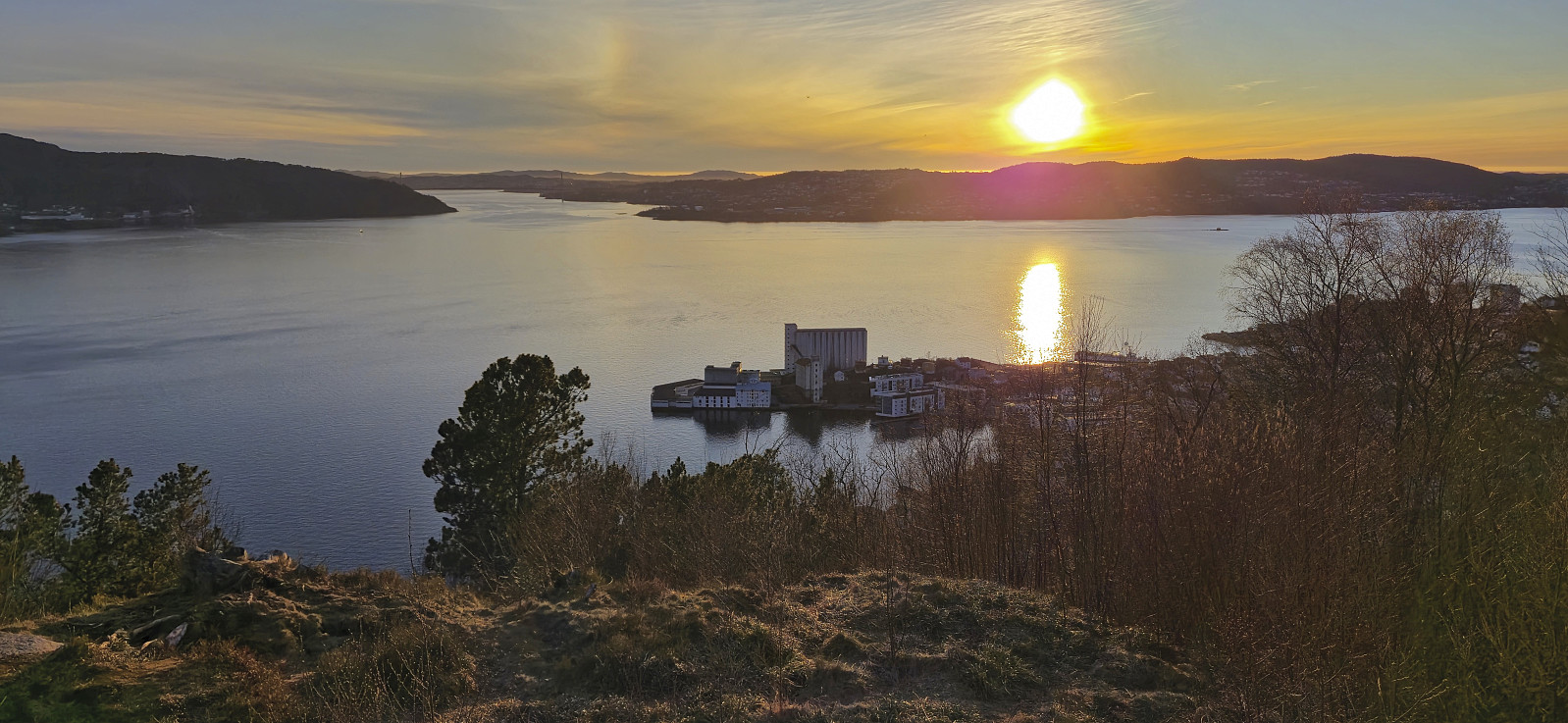 Local evening hike just around sunset.
Across Hellen festning
- Date:
- 01.04.2024
- Characteristic:
- Hike
- Duration:
- 0:37h
- Distance:
- 3.2km
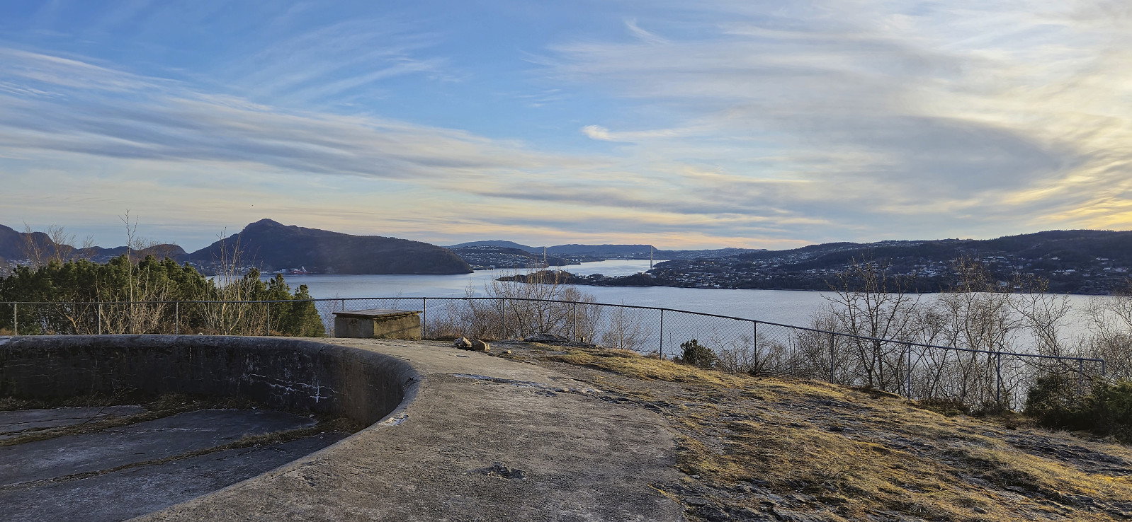 Short local evening hike still recovering from the stomach flu.
Across Hellen festning
- Date:
- 31.03.2024
- Characteristic:
- Hike
- Duration:
- 0:39h
- Distance:
- 3.2km
 Short local evening hike back in Bergen after spending the last couple of days knocked out by a stomach flu.
Barsnesfjorden
- Date:
- 23.03.2024
- Characteristic:
- Hike
- Duration:
- 1:03h
- Distance:
- 4.8km
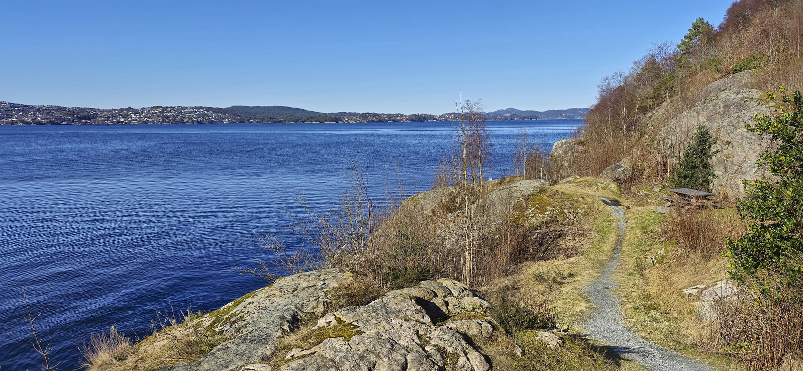
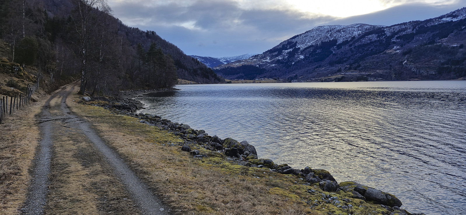 Short evening walk along Barsnesfjorden after the drive from Bergen to Sogndal.
(Note that the road this hike follows is private, i.e. no cars allowed.)
Short evening walk along Barsnesfjorden after the drive from Bergen to Sogndal.
(Note that the road this hike follows is private, i.e. no cars allowed.)
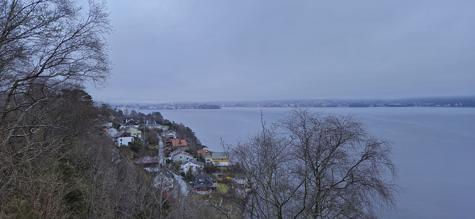
Ørneberget and Hellen festning
- Date:
- 20.03.2024
- Characteristic:
- Hike
- Duration:
- 0:54h
- Distance:
- 4.0km
 Short local evening hike after work.
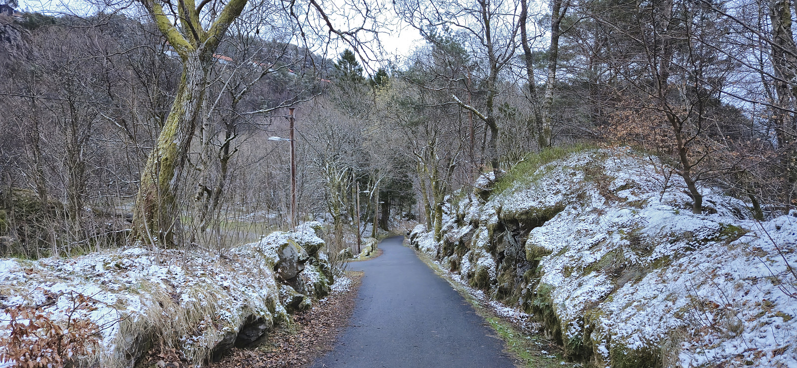
Fjellveien
- Date:
- 17.03.2024
- Characteristic:
- Hike
- Duration:
- 1:29h
- Distance:
- 7.3km
 Local Sunday hike after spending all of Saturday skiing with Endre in Ulvik .
Across Hellen festning
- Date:
- 14.03.2024
- Characteristic:
- Hike
- Duration:
- 0:36h
- Distance:
- 3.2km
 Short local evening hike.
Helleneset
- Date:
- 10.03.2024
- Characteristic:
- Walk
- Duration:
- 0:43h
- Distance:
- 2.6km
 Short local walk after spending all of yesterday skiing at Voss .
