Archive - Date
Archive - Activity
-
Bike trip (108)
- Bike trip - mixed (25)
- Bike trip - road (83)
-
Drive (9)
- Car drive (9)
-
Other trip (3)
- Kayaking (3)
-
Ski trip (109)
- Backcountry skiing (65)
- Cross-country skiing (44)
- Trip by foot (1769)
Collected lists
-
Voss ≥ 100m pf.
(96/98)
 97%
97% -
Opptur Hordaland
(143/159)
89%
-
Stasjoner på Bergensbanen
(31/40)
77%
-
Ulvik ≥ 100m pf.
(28/38)
73%
-
Hordaland ≥ 100m pf.
(610/863)
70%
-
Mjølfjell PF > 100m
(21/31)
67%
-
Jondal ≥ 100m pf.
(15/23)
65%
-
Sunnhordland PF >= 100m
(104/186)
55%
-
Dagsturhyttene i Vestland
(33/61)
54%
-
Hordaland: Hardanger PF>=100m
(183/359)
50%
-
Kvinnherad ≥ 100m pf.
(40/79)
50%
-
DNT-hytter i Hordaland
(22/45)
48%
-
Sogndal ≥ 100m pf.
(23/81)
28%
-
Vik i Sogn ≥ 100m pf.
(8/46)
17%
-
DNT-hytter i Sogn og Fjordane
(8/47)
17%
-
Eidfjord ≥ 100m pf.
(6/42)
14%
-
Etne ≥ 100m pf.
(7/51)
13%
-
Ullensvang ≥ 100m pf.
(19/153)
12%
-
Sogn - Sør for Sognefjorden PF>=100m
(17/159)
10%
-
Opptur i Sogn og Fjordane peaks
(17/177)
9%

Skjelanger to Fløksand
- Date:
- 16.06.2018
- Characteristic:
- Hillwalk
- Duration:
- 4:57h
- Distance:
- 18.0km
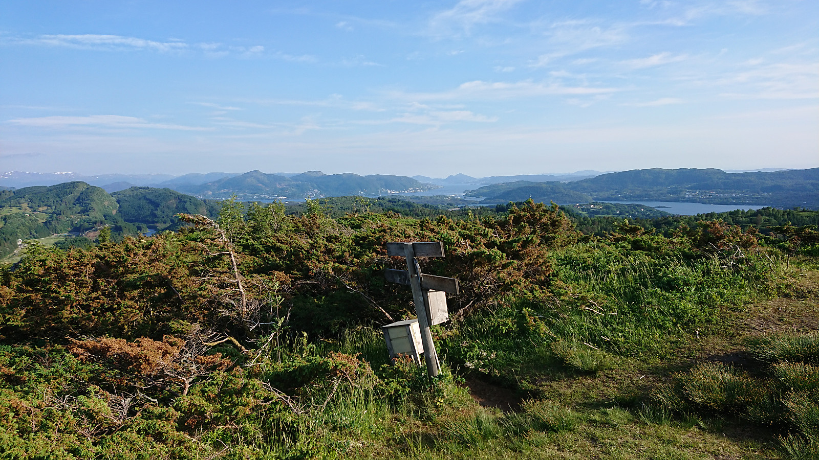
 I was lucky enough to hitch a ride to Skjelanger (which is not very accessible by bus) and was dropped off at one of the three main starting points for hiking to Storafjellet . Like the other two, this starting point also had the information sign and a marked trailhead, and included a small parking lot with room for a couple of cars.
However, while the trailhead was marked, the start of the trail was not very clear as it crossed a field. This soon improved, but shortly afterwards I made a wrong turn by continuing through a gate instead of turning left. I quickly corrected the mistake, but the signs could be better here.
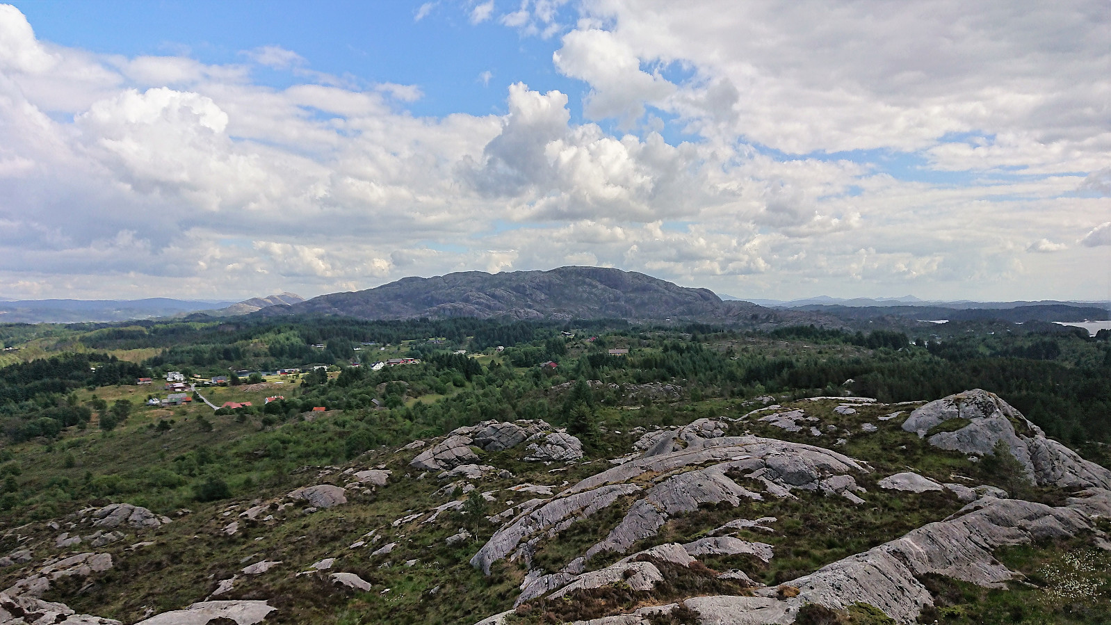
From there on the trail was easy to follow, although rather wet at times, until reaching the summit of Storafjellet, which provided excellent views in all directions. Probably one of the best views one can obtain >>>
I was lucky enough to hitch a ride to Skjelanger (which is not very accessible by bus) and was dropped off at one of the three main starting points for hiking to Storafjellet . Like the other two, this starting point also had the information sign and a marked trailhead, and included a small parking lot with room for a couple of cars.
However, while the trailhead was marked, the start of the trail was not very clear as it crossed a field. This soon improved, but shortly afterwards I made a wrong turn by continuing through a gate instead of turning left. I quickly corrected the mistake, but the signs could be better here.
From there on the trail was easy to follow, although rather wet at times, until reaching the summit of Storafjellet, which provided excellent views in all directions. Probably one of the best views one can obtain >>>
Ørneberget and Ørneberget NV
- Date:
- 12.06.2018
- Characteristic:
- Hillwalk
- Duration:
- 1:27h
- Distance:
- 4.8km
 Short local hike across Ørneberget after work, with uncommon routes both up and down, and with a visit to Ørneberget NV.
Åsheimveten, Tveitafjellet and Rotten
- Date:
- 09.06.2018
- Characteristic:
- Hillwalk
- Duration:
- 5:01h
- Distance:
- 19.5km
 Åsheimveten
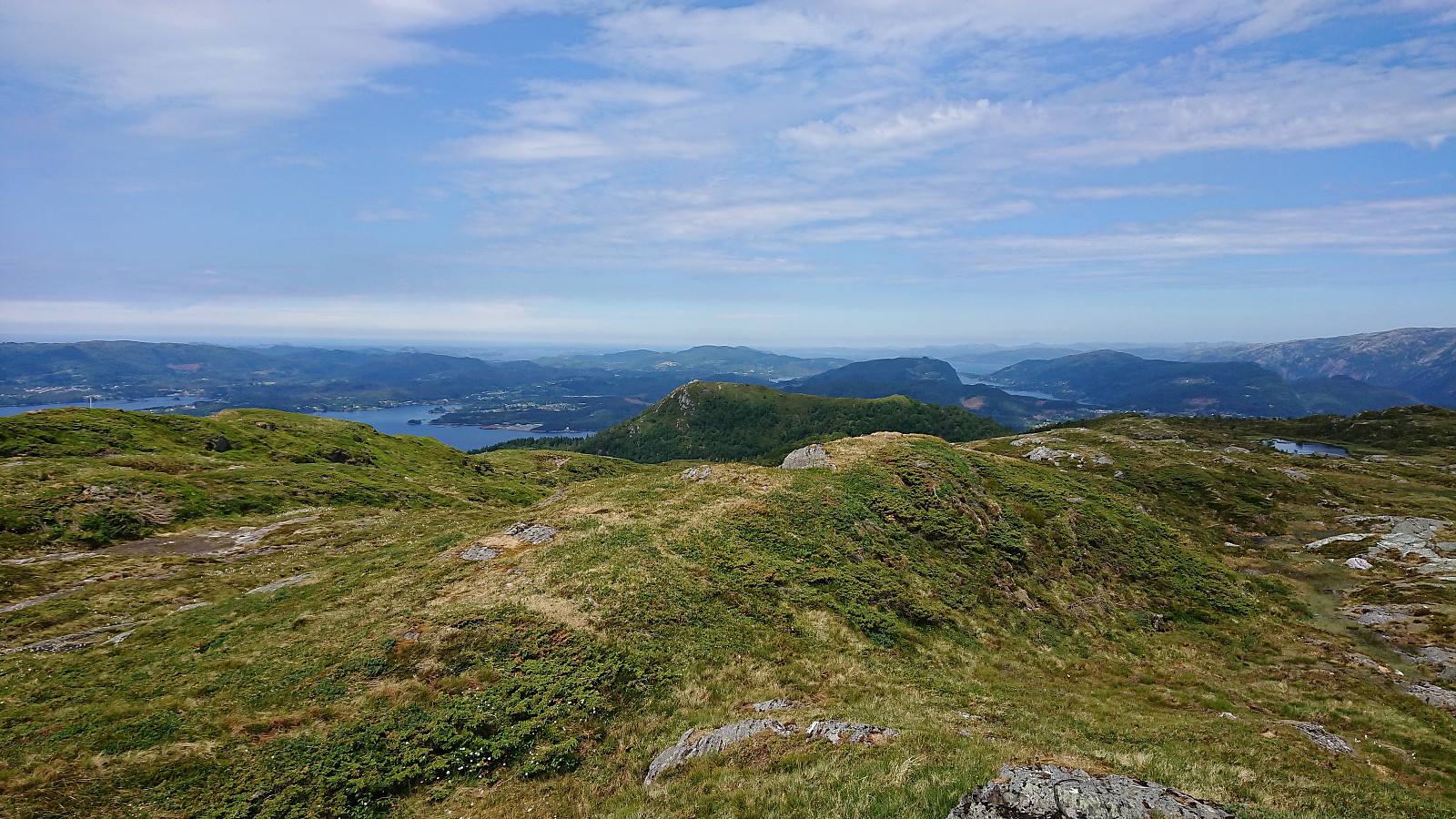
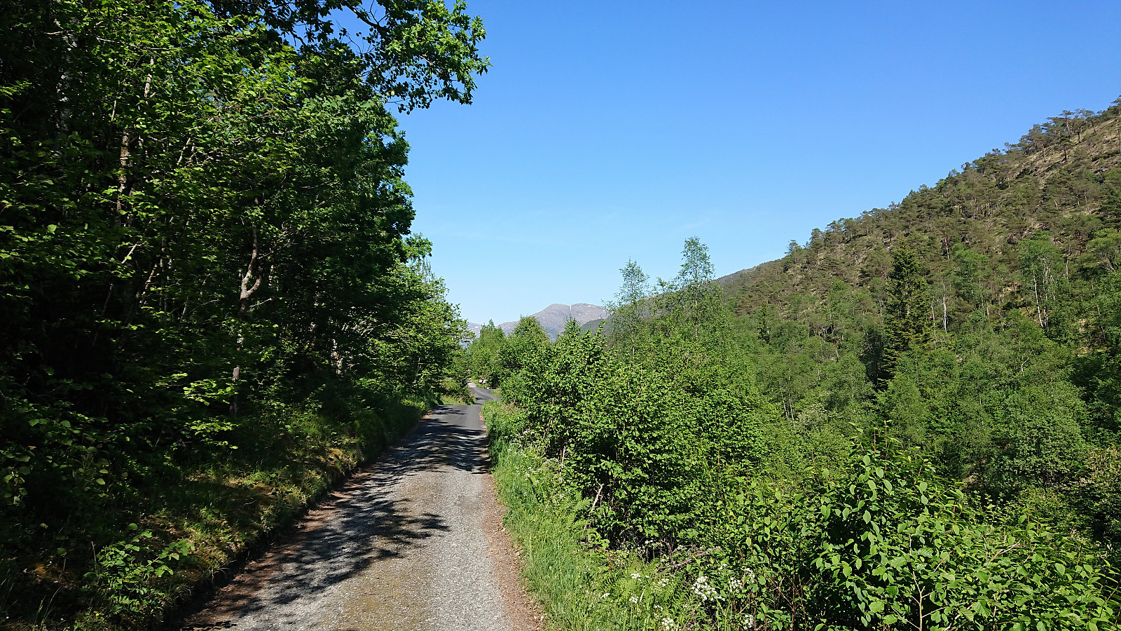
Started by taking the bus (and ferry) to Fotlandsvåg and locating the marked gravel road towards Åsheimveten just south of the football field. An information sign indicated two possible starting options: either follow the gravel road or take the steeper trail. I went for the trail, which reconnected with the gravel road just before reaching Fotlandssætra , where the gravel road also came to an end. The separate start of the trail was clearly marked and the trail was of good quality and easy to follow.
Shortly after leaving Fotlandssætra the trail got significantly steeper, especially the last stretch up to where the trail split for Åsheimveten or Tveitafjellet . But from there on it was easy to reach the summit of Åsheimveten, which provided spectacular views in all directions.
Tveitafjellet
Next, I returned to the >>>
Åsheimveten
Started by taking the bus (and ferry) to Fotlandsvåg and locating the marked gravel road towards Åsheimveten just south of the football field. An information sign indicated two possible starting options: either follow the gravel road or take the steeper trail. I went for the trail, which reconnected with the gravel road just before reaching Fotlandssætra , where the gravel road also came to an end. The separate start of the trail was clearly marked and the trail was of good quality and easy to follow.
Shortly after leaving Fotlandssætra the trail got significantly steeper, especially the last stretch up to where the trail split for Åsheimveten or Tveitafjellet . But from there on it was easy to reach the summit of Åsheimveten, which provided spectacular views in all directions.
Tveitafjellet
Next, I returned to the >>>
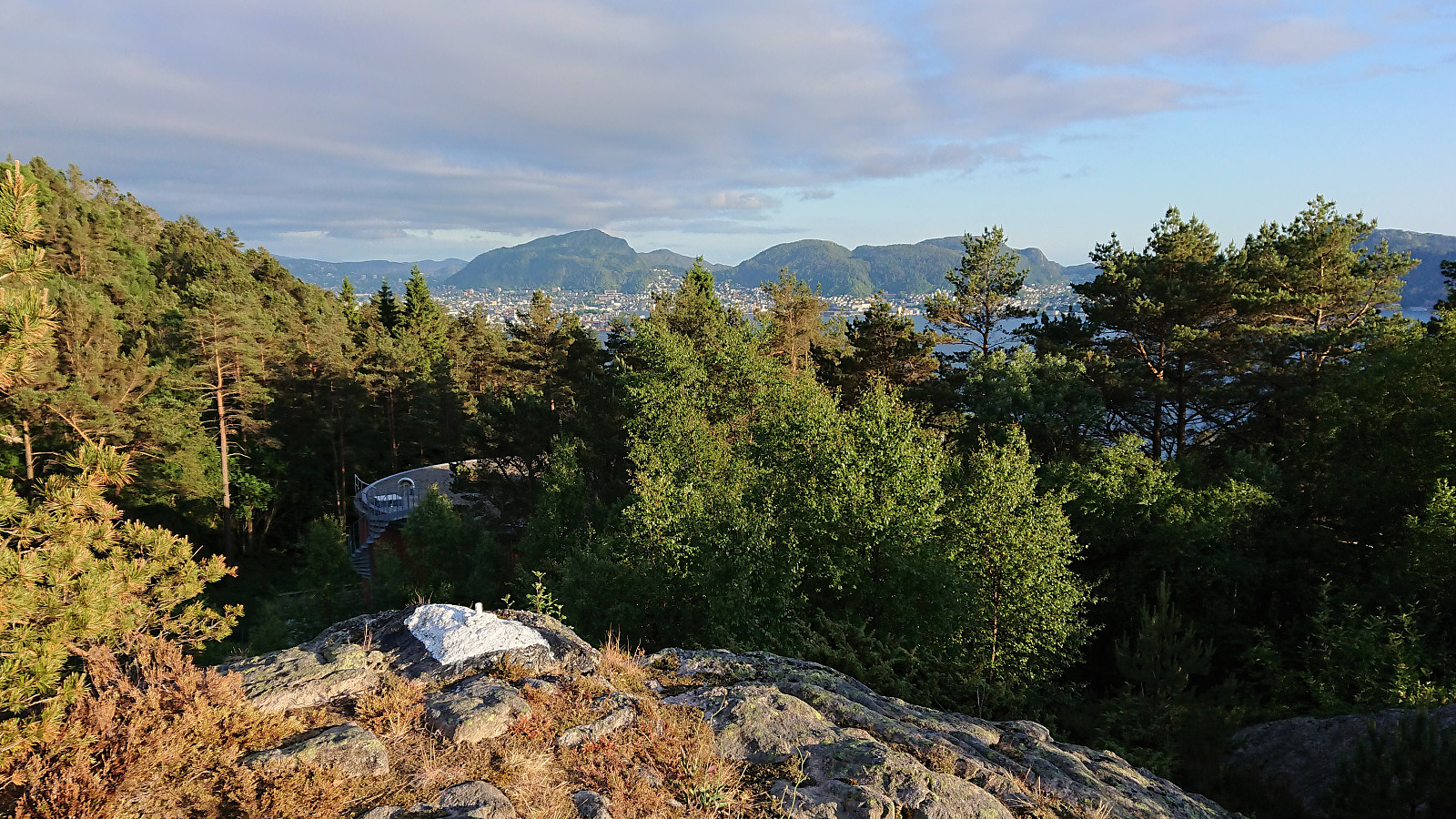
Across Hellen festning
- Date:
- 08.06.2018
- Characteristic:
- Hike
- Duration:
- 1:18h
- Distance:
- 5.0km
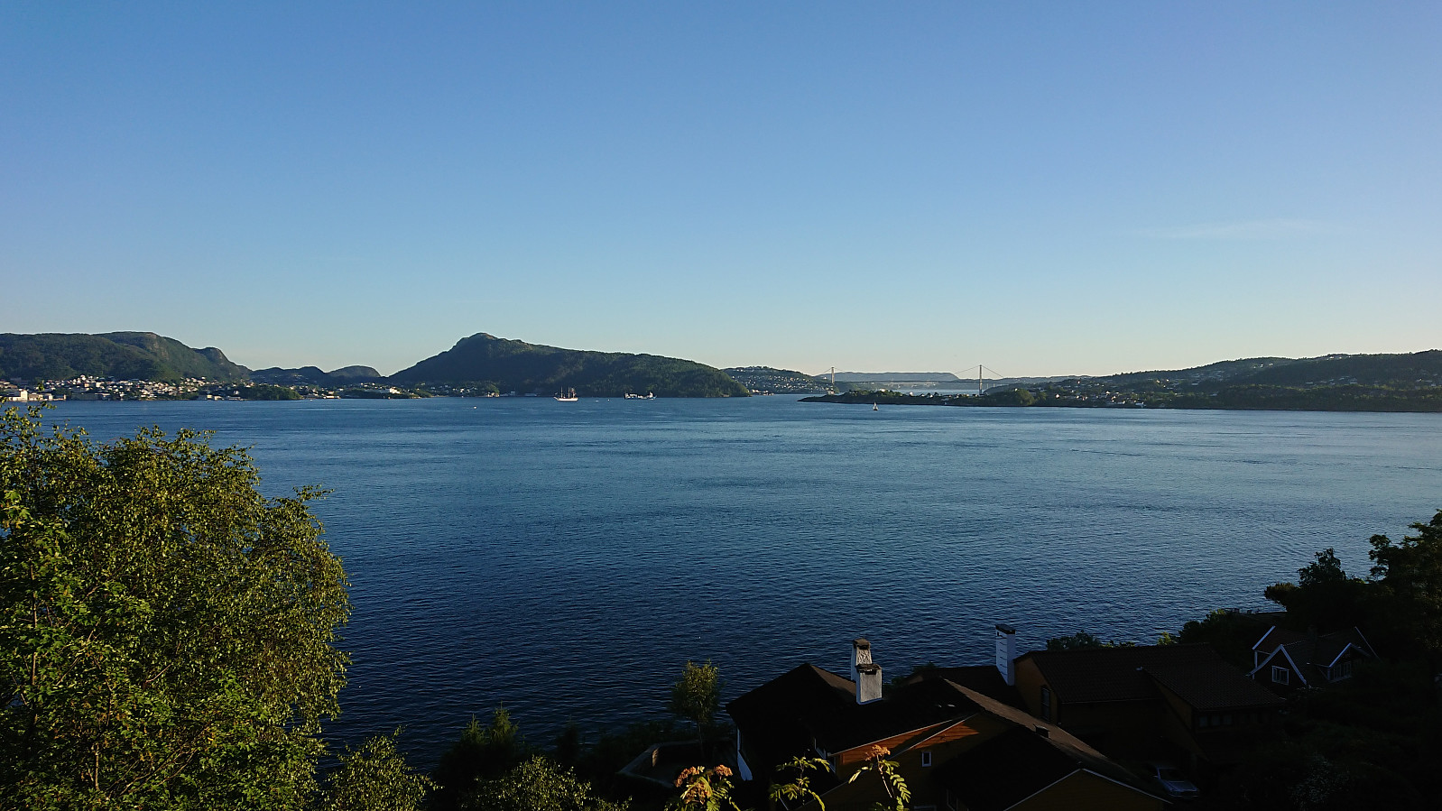 Short local hike across Hellen festning and Furukammen after work.
Svekanen, Krossane and Gladihaug
- Date:
- 07.06.2018
- Characteristic:
- Hillwalk
- Duration:
- 4:40h
- Distance:
- 16.8km
 Svekanen
Started by taking the bus to Furuberg and, with the help of previous PB-reports, easily located the road towards Svekanen . I did however miss the trailhead, even though it was marked, and ended up following the road a bit too far. On my return I easily located the trailhead, which had been slightly hidden by a tree.
The trail itself was also marked, but at times the markers were more easily spotted than the trail itself. This improved just before the trail entered the dense forest, which is also where the best views, predominantly to the east, could be obtained. From there on there were pretty much no views at all. And while the trail markers were still there, it was not always clear where the trail continued.
The summit area did contain a visitor register, but it was very well hidden, and I >>>
Svekanen
Started by taking the bus to Furuberg and, with the help of previous PB-reports, easily located the road towards Svekanen . I did however miss the trailhead, even though it was marked, and ended up following the road a bit too far. On my return I easily located the trailhead, which had been slightly hidden by a tree.
The trail itself was also marked, but at times the markers were more easily spotted than the trail itself. This improved just before the trail entered the dense forest, which is also where the best views, predominantly to the east, could be obtained. From there on there were pretty much no views at all. And while the trail markers were still there, it was not always clear where the trail continued.
The summit area did contain a visitor register, but it was very well hidden, and I >>>
Elsåsfjellet and Vassberget
- Date:
- 03.06.2018
- Characteristic:
- Hillwalk
- Duration:
- 2:44h
- Distance:
- 9.2km
 Given that Elsås, and thus Elsåsfjellet , is rather difficult to get to via public transport, I decided to try to starting from Skardet/Skare instead, where the buses are more frequent. And it started easy enough walking southeast along a nice gravel road. Within not too long I however arrived at a closed gate with a rather massive cow staring at me from the other side. After double checking that I was in fact looking at a cow and not a bull (as I could initially only spot one of them), I opened and passed through the gate, ensuring that it was safely closed behind me.
I then noticed up to ten additional cows, but none of them seemed to mind me as I continued up the gravel road. Just before reaching the end of the gravel road I came across another cow, this one all on its own at the side of the road. Again, >>>
Given that Elsås, and thus Elsåsfjellet , is rather difficult to get to via public transport, I decided to try to starting from Skardet/Skare instead, where the buses are more frequent. And it started easy enough walking southeast along a nice gravel road. Within not too long I however arrived at a closed gate with a rather massive cow staring at me from the other side. After double checking that I was in fact looking at a cow and not a bull (as I could initially only spot one of them), I opened and passed through the gate, ensuring that it was safely closed behind me.
I then noticed up to ten additional cows, but none of them seemed to mind me as I continued up the gravel road. Just before reaching the end of the gravel road I came across another cow, this one all on its own at the side of the road. Again, >>>
Oeiras to Paco de Arcos
- Date:
- 31.05.2018
- Characteristic:
- Walk
- Duration:
- 1:00h
- Distance:
- 3.6km
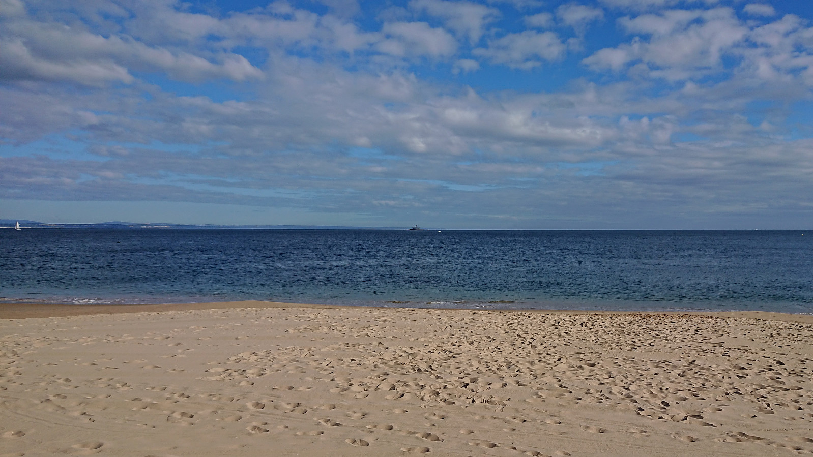 Short walk from Instituto Gulbenkian de Ciência in Oeiras to Paco de Arcos while teaching at a course in Portugal.
Across Hellen festning
- Date:
- 27.05.2018
- Characteristic:
- Hike
- Duration:
- 0:30h
- Distance:
- 3.1km
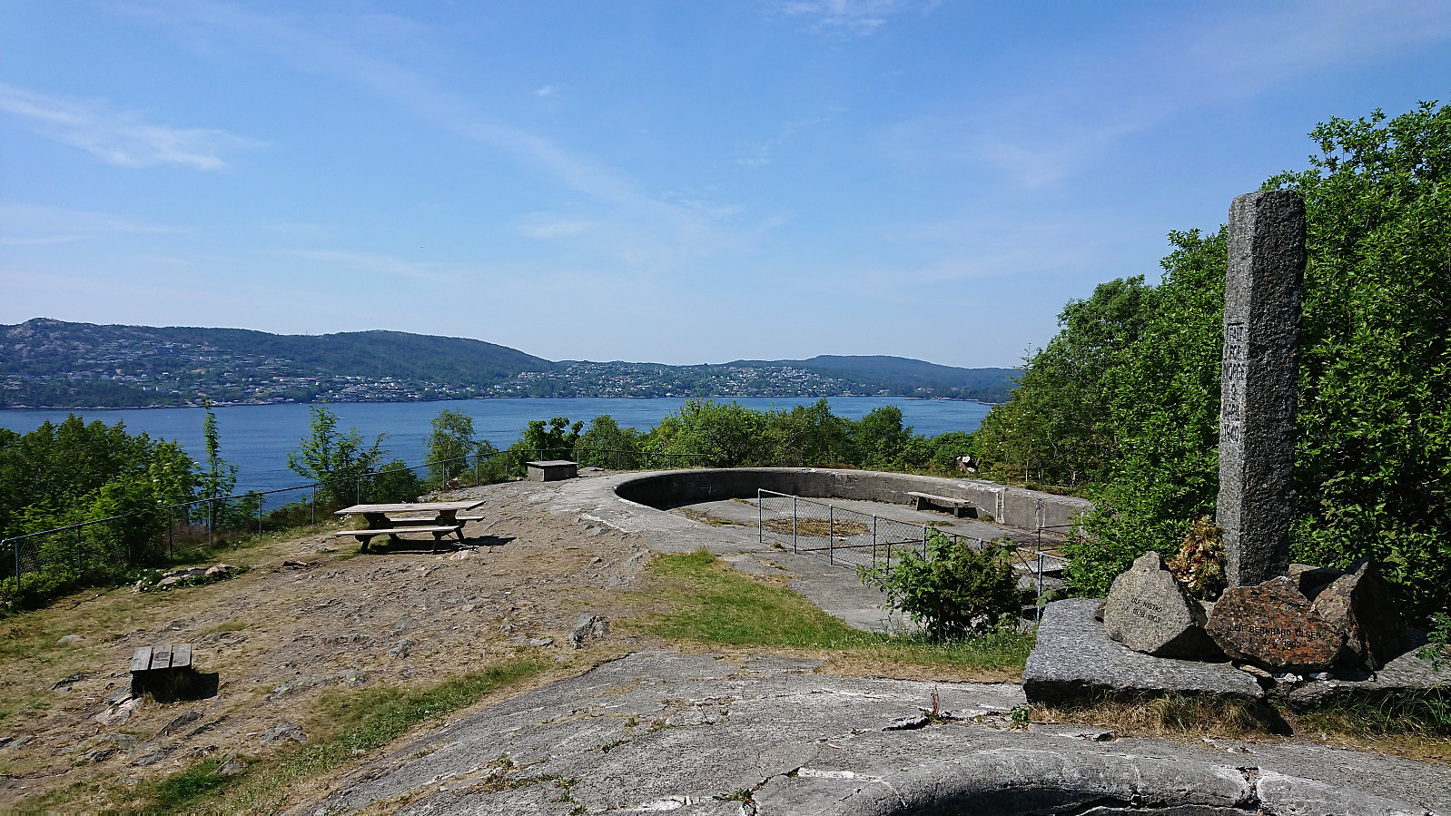 Short local hike across Hellen festning.
Eggene
- Date:
- 26.05.2018
- Characteristic:
- Hillwalk
- Duration:
- 1:55h
- Distance:
- 5.6km
 After Runemb (Rune Blomberg) recent addition of a new peak on the Bergen ≥ 50m pf. og ≥ 100 m.o.h. list , there was nothing to do but make a new hike to recomplete the list.
Started by taking the bus to Bahus and following Engevikvegen northeast until reaching the lake at Engevik. No trails, but there were lots of deer tracks that could be followed to simplify the ascent. After the first relatively steep 100 meters it was straightforward to follow the ridge towards the summit with the terrain being more open than expected.
This changed towards the end, where there were lots of medium high bushes. To avoid the densest area I went slightly north of the ridge and there happened upon a trig marker which also provided the best views of the hike. From the trig marker the summit was easily reached, but provided only limited views. Did not stay long before following more or >>>
After Runemb (Rune Blomberg) recent addition of a new peak on the Bergen ≥ 50m pf. og ≥ 100 m.o.h. list , there was nothing to do but make a new hike to recomplete the list.
Started by taking the bus to Bahus and following Engevikvegen northeast until reaching the lake at Engevik. No trails, but there were lots of deer tracks that could be followed to simplify the ascent. After the first relatively steep 100 meters it was straightforward to follow the ridge towards the summit with the terrain being more open than expected.
This changed towards the end, where there were lots of medium high bushes. To avoid the densest area I went slightly north of the ridge and there happened upon a trig marker which also provided the best views of the hike. From the trig marker the summit was easily reached, but provided only limited views. Did not stay long before following more or >>>
Across Hellen festning
- Date:
- 23.05.2018
- Characteristic:
- Hike
- Duration:
- 0:40h
- Distance:
- 3.7km
 Short local hike across Hellen festning after work.
