Archive - Date
Archive - Activity
-
Bike trip (108)
- Bike trip - mixed (25)
- Bike trip - road (83)
-
Drive (9)
- Car drive (9)
-
Other trip (3)
- Kayaking (3)
-
Ski trip (109)
- Backcountry skiing (65)
- Cross-country skiing (44)
- Trip by foot (1769)
Collected lists
-
Voss ≥ 100m pf.
(96/98)
 97%
97% -
Opptur Hordaland
(143/159)
89%
-
Stasjoner på Bergensbanen
(31/40)
77%
-
Ulvik ≥ 100m pf.
(28/38)
73%
-
Hordaland ≥ 100m pf.
(610/863)
70%
-
Mjølfjell PF > 100m
(21/31)
67%
-
Jondal ≥ 100m pf.
(15/23)
65%
-
Sunnhordland PF >= 100m
(104/186)
55%
-
Dagsturhyttene i Vestland
(33/61)
54%
-
Hordaland: Hardanger PF>=100m
(183/359)
50%
-
Kvinnherad ≥ 100m pf.
(40/79)
50%
-
DNT-hytter i Hordaland
(22/45)
48%
-
Sogndal ≥ 100m pf.
(23/81)
28%
-
Vik i Sogn ≥ 100m pf.
(8/46)
17%
-
DNT-hytter i Sogn og Fjordane
(8/47)
17%
-
Eidfjord ≥ 100m pf.
(6/42)
14%
-
Etne ≥ 100m pf.
(7/51)
13%
-
Ullensvang ≥ 100m pf.
(19/153)
12%
-
Sogn - Sør for Sognefjorden PF>=100m
(17/159)
10%
-
Opptur i Sogn og Fjordane peaks
(17/177)
9%

Fureberget at Flatøy
- Date:
- 23.03.2019
- Characteristic:
- Hillwalk
- Duration:
- 0:43h
- Distance:
- 3.2km
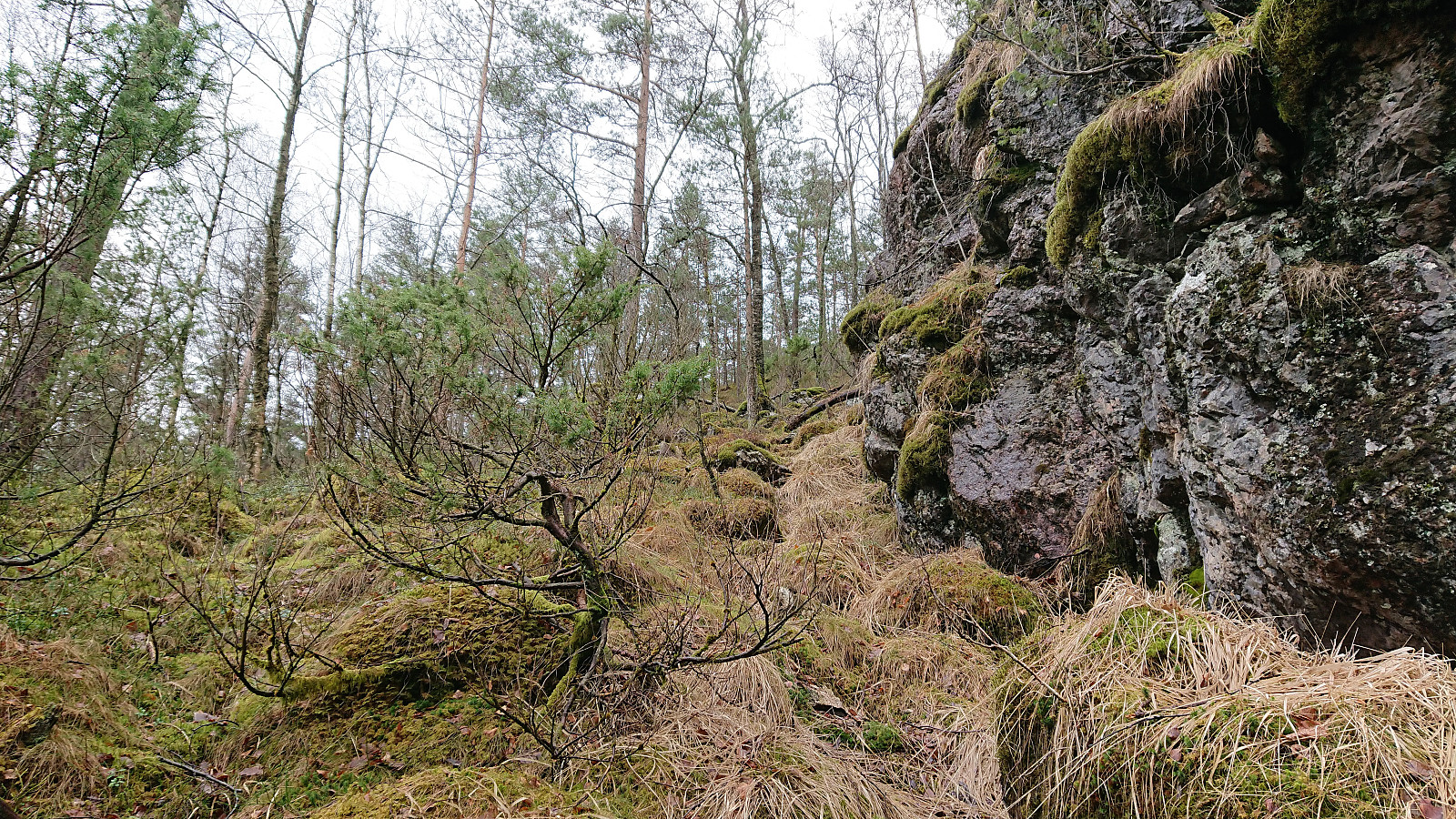
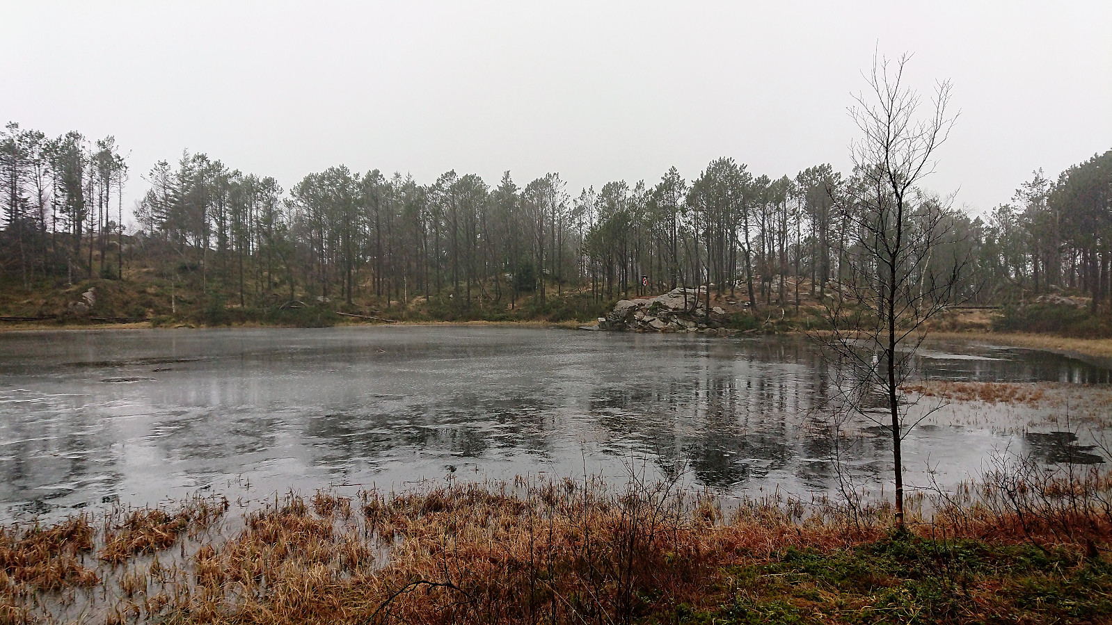
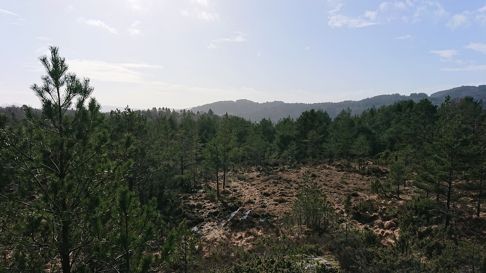 Decided to split up the bus ride to Melshovden with a short visit to Fureberget at Flatøy. The plan was to get off the bus before crossing the bridge to Knarvik, but for some reason the bus driver ignored my signal and I thus had to re-cross the bridge to get to the trailhead for Fureberget. The trail indicated on the map seemed to be most heavily used by off-road vehicles, probably used to perform maintenance on the antenna at the summit, resulting in rather wet tracks that could be followed all the way to the summit. As expected, the summit did not provide the best of views, and I did not stay long before returning to Knarvik and the next part of the bus ride to Melshovden. Note that the trail, or rather gravel road, toward Skjeljevikane looked much better, so perhaps a route to explore at a different occasion.
Marineholmen to Lønborg
- Date:
- 21.03.2019
- Characteristic:
- Hike
- Duration:
- 1:53h
- Distance:
- 9.5km
 Decided to walk home from work given the nice weather.
Haukeland sykehus to Ludebryggen
- Date:
- 18.03.2019
- Characteristic:
- Hike
- Duration:
- 1:11h
- Distance:
- 6.4km
 Another walk on the way home from work.
Bradbenken to Lønborg
- Date:
- 17.03.2019
- Characteristic:
- Hillwalk
- Duration:
- 1:39h
- Distance:
- 8.1km
 Local hike from Bradbenken to Lønborg via Sandviksbatteriet, Furukammen and Hellen festning.
Håhaugen from Andås E39
- Date:
- 16.03.2019
- Characteristic:
- Hillwalk
- Duration:
- 1:21h
- Distance:
- 3.6km
 Started by taking the bus (or more correctly buses, as four in total was required) to the crossroads west of Eikefettunnelen (bus stop called “Andås E39”). From there I walked back along the main road towards the known trailhead for Håhaugen . Thankfully there was plenty of space on the outside of the guard rails, so I was clearly separated from the high-speed traffic.
The trailhead was easily located, but as expected the trail quickly disappeared. But it was still straightforward to make progress up the small valley north of the summit. At the top of the valley I located what seemed like the easiest place to ascend, and while relatively steep and requiring light climbing, it did not provide any real difficulty, except for one spot where the snow was extra slippery.
From there on it was however easy >>>
Started by taking the bus (or more correctly buses, as four in total was required) to the crossroads west of Eikefettunnelen (bus stop called “Andås E39”). From there I walked back along the main road towards the known trailhead for Håhaugen . Thankfully there was plenty of space on the outside of the guard rails, so I was clearly separated from the high-speed traffic.
The trailhead was easily located, but as expected the trail quickly disappeared. But it was still straightforward to make progress up the small valley north of the summit. At the top of the valley I located what seemed like the easiest place to ascend, and while relatively steep and requiring light climbing, it did not provide any real difficulty, except for one spot where the snow was extra slippery.
From there on it was however easy >>>
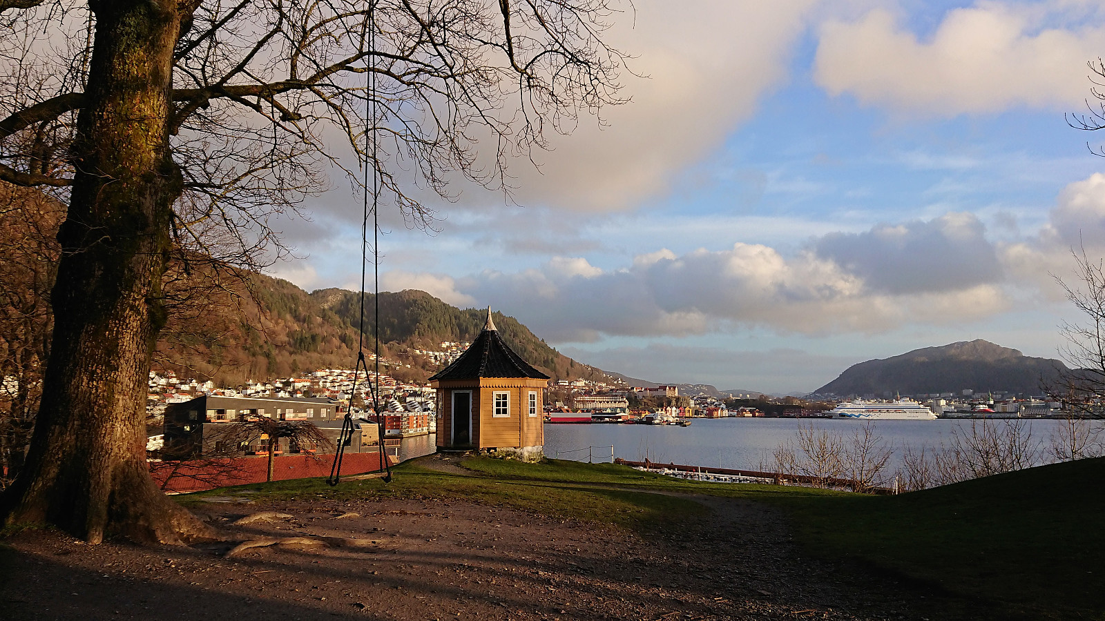
Hellen festning, Furukammen and Ørneberget
- Date:
- 14.03.2019
- Characteristic:
- Hillwalk
- Duration:
- 1:03h
- Distance:
- 4.6km
 Short local hike after work.
Haukeland sykehus to Sandvikstorget
- Date:
- 13.03.2019
- Characteristic:
- Hike
- Duration:
- 1:15h
- Distance:
- 6.4km
 Another short walk on the way home from work.
Furukammen
- Date:
- 09.03.2019
- Characteristic:
- Hike
- Duration:
- 0:18h
- Distance:
- 1.9km
 Short local hike from Øyjorden to Lønborg.
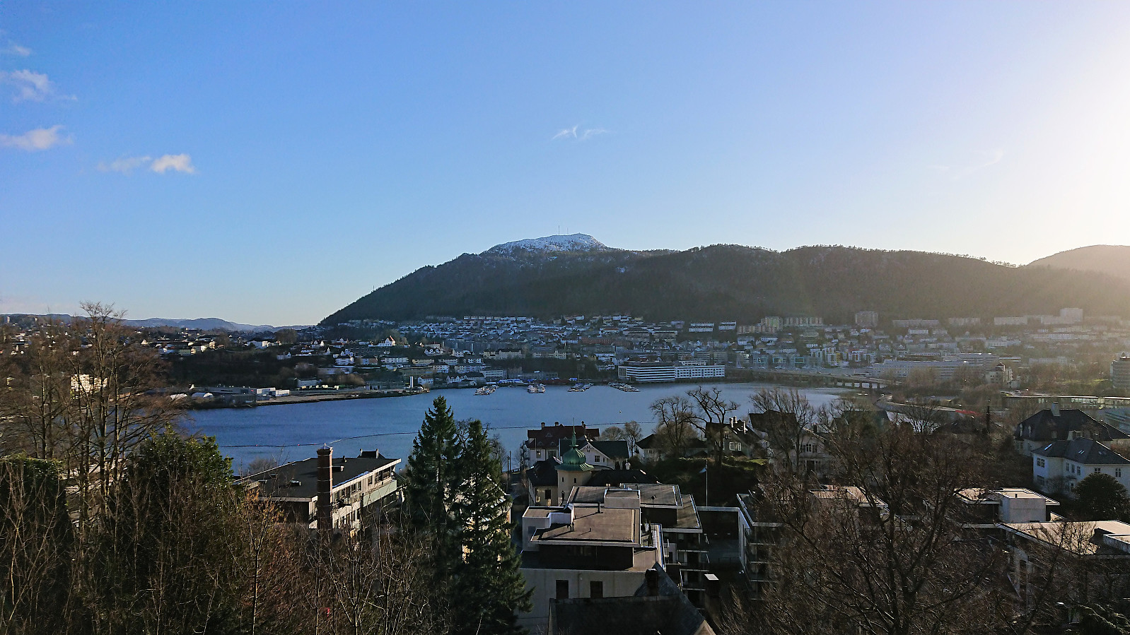
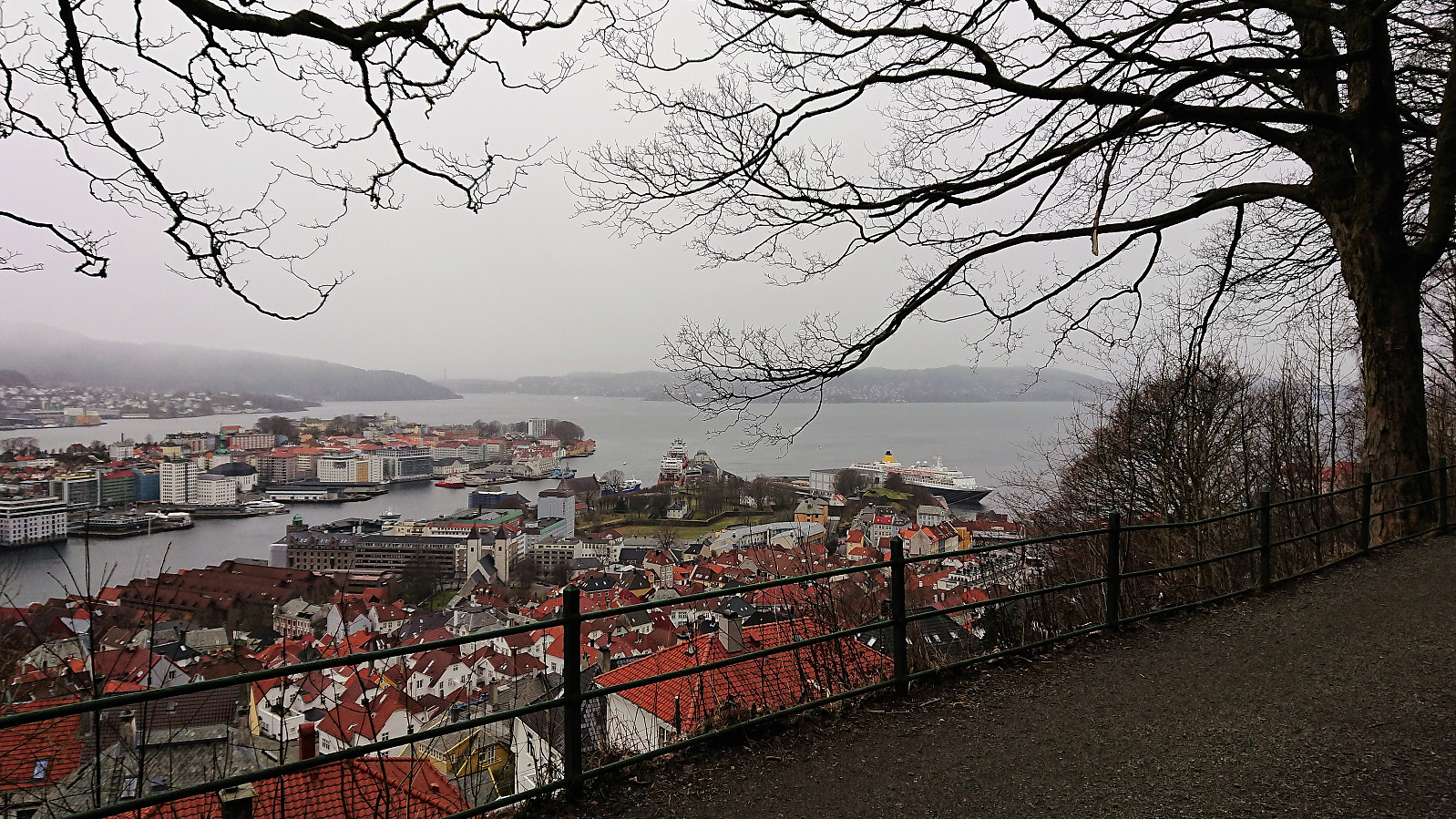
Fløyen from Kalvedalsveien
- Date:
- 03.03.2019
- Characteristic:
- Hillwalk
- Duration:
- 2:37h
- Distance:
- 12.3km
 Hike from Kalvedalsveien to Lønborg (via Fløyen and Brushytten) in the rain.
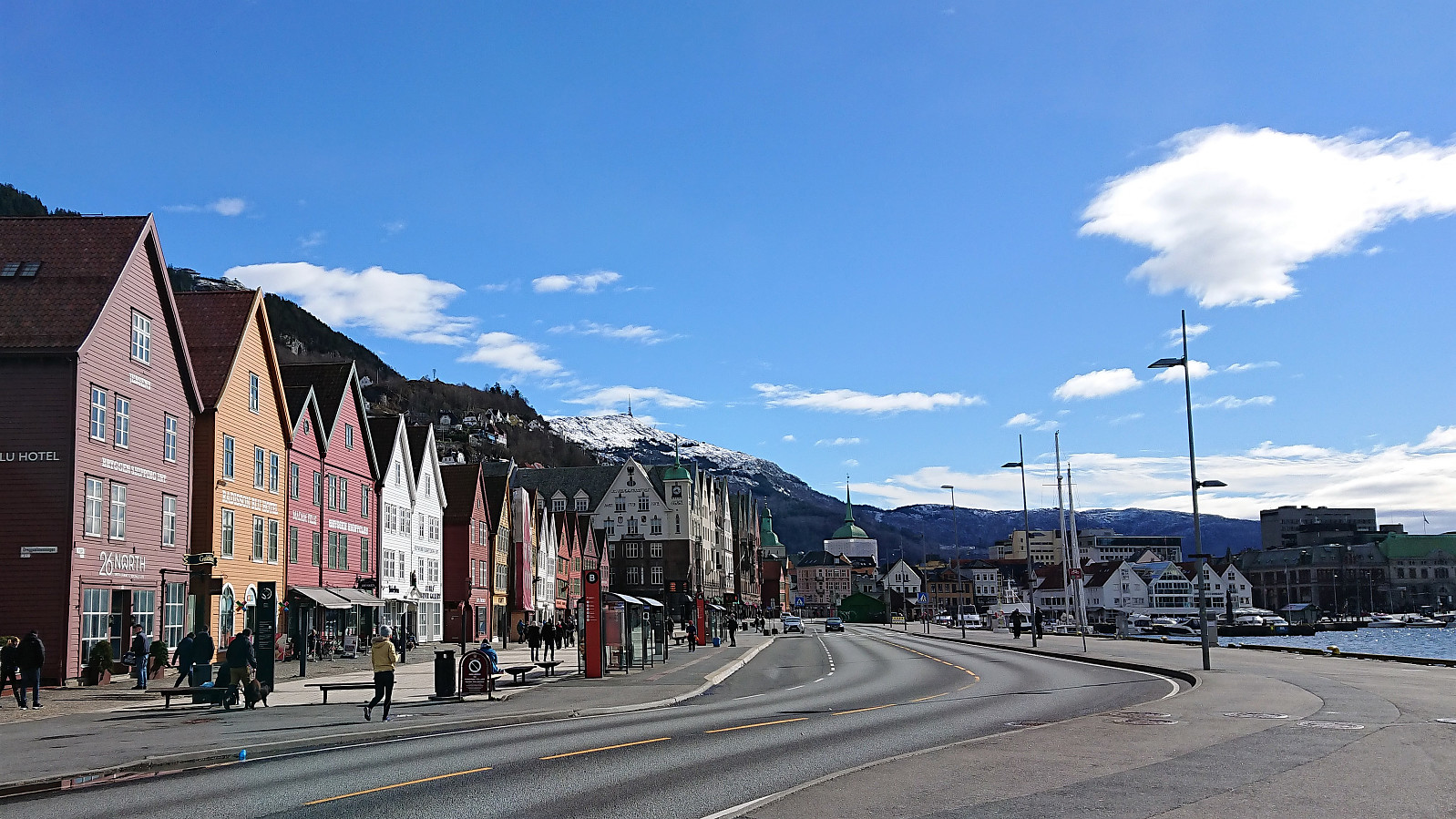
Sandviksbatteriet, Håmanen and Hellen festning
- Date:
- 02.03.2019
- Characteristic:
- Hillwalk
- Duration:
- 2:06h
- Distance:
- 9.4km
 Local hike in light rain from Bontelabo to Lønborg.
