Archive - Date
Archive - Activity
-
Bike trip (111)
- Bike trip - mixed (25)
- Bike trip - road (86)
-
Drive (9)
- Car drive (9)
-
Other trip (3)
- Kayaking (3)
-
Ski trip (116)
- Backcountry skiing (69)
- Cross-country skiing (47)
- Trip by foot (1897)
Collected lists
-
Utvalgte topper og turmål i Bergen
(349/351)
 99%
99% -
Alle topper i Bergen
(393/400)
98%
-
Voss ≥ 100m pf.
(96/98)
97%
-
Opptur Hordaland
(144/159)
90%
-
Stasjoner på Bergensbanen
(33/40)
82%
-
Ulvik ≥ 100m pf.
(30/38)
78%
-
Hordaland ≥ 100m pf.
(624/863)
72%
-
Mjølfjell PF > 100m
(21/31)
67%
-
Jondal ≥ 100m pf.
(15/23)
65%
-
Dagsturhyttene i Vestland
(36/61)
59%
-
Sunnhordland PF >= 100m
(105/186)
56%
-
Hordaland: Hardanger PF>=100m
(196/359)
54%
-
DNT-hytter i Hordaland
(23/45)
51%
-
Kvinnherad ≥ 100m pf.
(40/79)
50%
-
Eidfjord ≥ 100m pf.
(13/42)
30%
-
Sogndal ≥ 100m pf.
(23/81)
28%
-
Gulen ≥ 100m pf.
(15/54)
27%
-
Vik i Sogn ≥ 100m pf.
(10/46)
21%
-
Sogn - Sør for Sognefjorden PF>=100m
(31/159)
19%
-
DNT-hytter i Sogn og Fjordane
(8/47)
17%

Fjellveien
- Date:
- 25.01.2026
- Characteristic:
- Hike
- Duration:
- 1:02h
- Distance:
- 5.4km
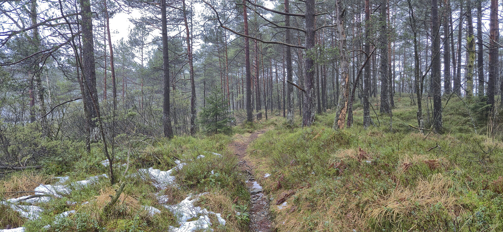
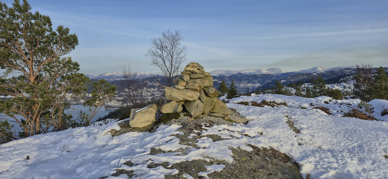
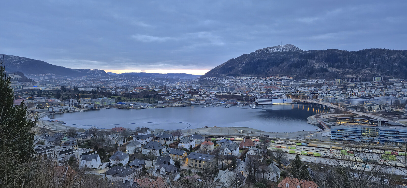 Short Sunday hike in search for a sunset that never really materialized.
Stovegolvet from Grov
- Date:
- 24.01.2026
- Characteristic:
- Hillwalk
- Duration:
- 5:02h
- Distance:
- 17.8km
 Warning: This hike includes a steep ascent that can potentially be dangerous under certain winter conditions. Read the report carefully.
A return to Stord to ascend Stovegolvet and visit the DNT cabin with the same name . After taking the bus (and ferry) to Stord I had planned to get off at Grov, however the bus driver failed to notice that I had pressed the stop button and I ended up with an extra kilometer warm up along Grovavegen before arriving at my intended starting point. I began by following the same route southwest to Lundsetervegen as for my trip to Steingilshøgda, Klovfjellet and Budalsfjellet and continued along the paved road to the large parking lot at Lundseter where I easily located the marked trailhead.
From the trailhead I followed the marked trail northwest before turning east and beginning the steep ascent towards the summit. It quickly became apparent that this part of the ascent would be much more challenging >>>
Warning: This hike includes a steep ascent that can potentially be dangerous under certain winter conditions. Read the report carefully.
A return to Stord to ascend Stovegolvet and visit the DNT cabin with the same name . After taking the bus (and ferry) to Stord I had planned to get off at Grov, however the bus driver failed to notice that I had pressed the stop button and I ended up with an extra kilometer warm up along Grovavegen before arriving at my intended starting point. I began by following the same route southwest to Lundsetervegen as for my trip to Steingilshøgda, Klovfjellet and Budalsfjellet and continued along the paved road to the large parking lot at Lundseter where I easily located the marked trailhead.
From the trailhead I followed the marked trail northwest before turning east and beginning the steep ascent towards the summit. It quickly became apparent that this part of the ascent would be much more challenging >>>
Hellefjellet and Furukammen
- Date:
- 23.01.2026
- Characteristic:
- Hike
- Duration:
- 1:17h
- Distance:
- 4.5km
 Short local evening hike.
Across Hellen festning
- Date:
- 20.01.2026
- Characteristic:
- Hike
- Duration:
- 0:37h
- Distance:
- 3.2km
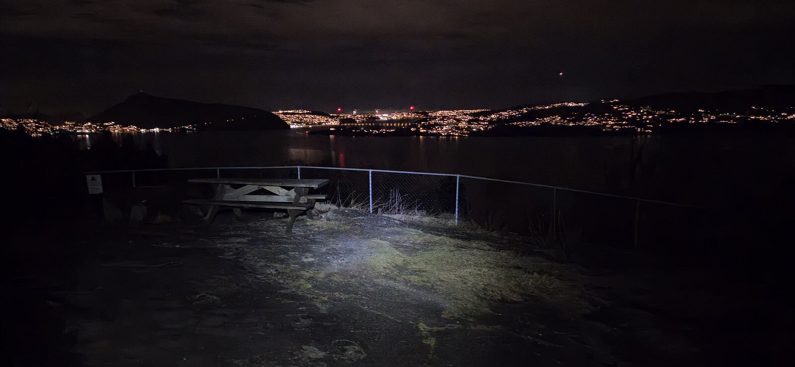 Short local evening hike.
Hovåsene from Fortunbakkane
- Date:
- 18.01.2026
- Characteristic:
- Hillwalk
- Duration:
- 1:30h
- Distance:
- 4.3km
 Short hike on a gray and foggy Sunday with the objective of visiting Hovåsen and Hovåsen Sør , two recent addition to the Alle topper i Bergen list . I used a similar route as for last year’s visit of Nordre Gamletjørnhaugen , although in the opposite order.
After following the marked trail via Nordre Gamletjørnhaugen , I left it shortly after Lillianbrekko and headed off-trail via various deer tracks to the summits of Hovåsen Sør and Hovåsen. At Hovåsen Sør there was a trig bolt and a view down to Kismul Skyte- og friluftssenter (closed on Sundays, except for special events, according to their web page). There may also be ok views from Hovåsen but these were all hidden by the fog.
The easiest choice would now probably have been to return to the trail but given the short distance to the road to the north, I decided to head directly in that direction. This did not present any real challenges but was also the least enjoyable part >>>
Short hike on a gray and foggy Sunday with the objective of visiting Hovåsen and Hovåsen Sør , two recent addition to the Alle topper i Bergen list . I used a similar route as for last year’s visit of Nordre Gamletjørnhaugen , although in the opposite order.
After following the marked trail via Nordre Gamletjørnhaugen , I left it shortly after Lillianbrekko and headed off-trail via various deer tracks to the summits of Hovåsen Sør and Hovåsen. At Hovåsen Sør there was a trig bolt and a view down to Kismul Skyte- og friluftssenter (closed on Sundays, except for special events, according to their web page). There may also be ok views from Hovåsen but these were all hidden by the fog.
The easiest choice would now probably have been to return to the trail but given the short distance to the road to the north, I decided to head directly in that direction. This did not present any real challenges but was also the least enjoyable part >>>
Valanipa and Sopandefjellet
- Date:
- 17.01.2026
- Characteristic:
- Backcountry skiing
- Duration:
- 4:46h
- Distance:
- 14.8km
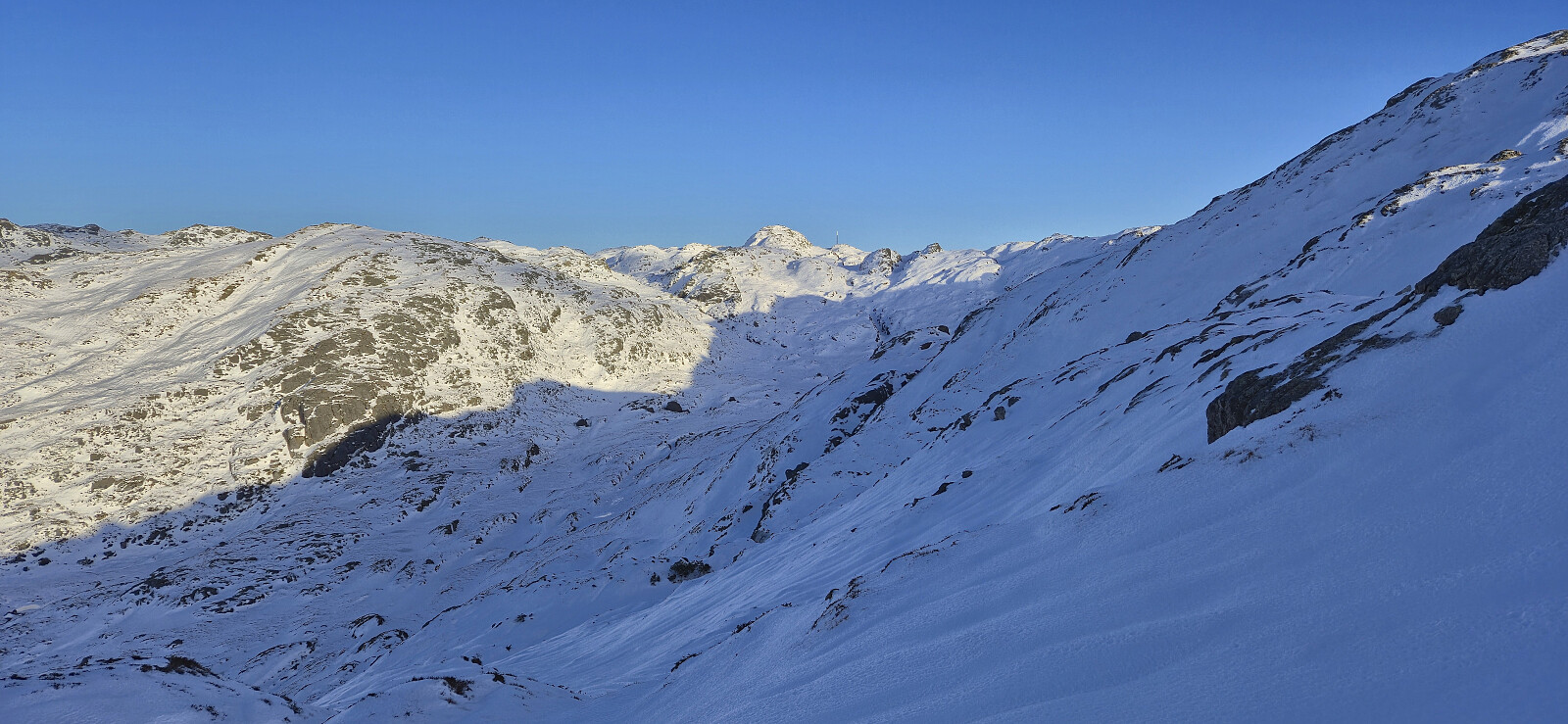
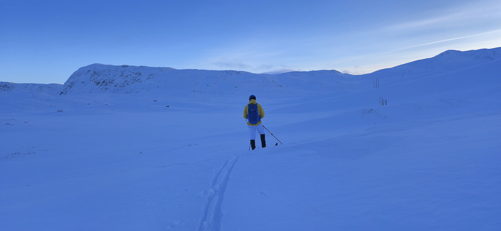 Endre picked me up at my place shortly after seven and together we drove the around 2.5 hours to Vikafjellet. The drive however took slightly longer than usual given that the ventilation system in Endre's car did not work properly and we therefore had to make the occasional stop to manually remove excess moisture from the inside of the windshield. To make things worse, starting from Evanger the man-made fog inside the car was matched by an increasingly dense natural fog outside. Together with snow-covered roads this was not the best combination, but by taking it slow we managed to get to the parking lot at Fosse without any real issues.
As if planned, the fog magically disappeared just minutes before we arrived at the parking lot and we could see the first pinkish rays of sunlight hitting the surrounding mountain tops. >>>
Endre picked me up at my place shortly after seven and together we drove the around 2.5 hours to Vikafjellet. The drive however took slightly longer than usual given that the ventilation system in Endre's car did not work properly and we therefore had to make the occasional stop to manually remove excess moisture from the inside of the windshield. To make things worse, starting from Evanger the man-made fog inside the car was matched by an increasingly dense natural fog outside. Together with snow-covered roads this was not the best combination, but by taking it slow we managed to get to the parking lot at Fosse without any real issues.
As if planned, the fog magically disappeared just minutes before we arrived at the parking lot and we could see the first pinkish rays of sunlight hitting the surrounding mountain tops. >>>
Hellefjellet and Furukammen
- Date:
- 14.01.2026
- Characteristic:
- Hike
- Duration:
- 1:43h
- Distance:
- 5.1km
 Local evening hike on icy and slippery roads.
Brushytten
- Date:
- 11.01.2026
- Characteristic:
- Hike
- Duration:
- 2:58h
- Distance:
- 13.1km
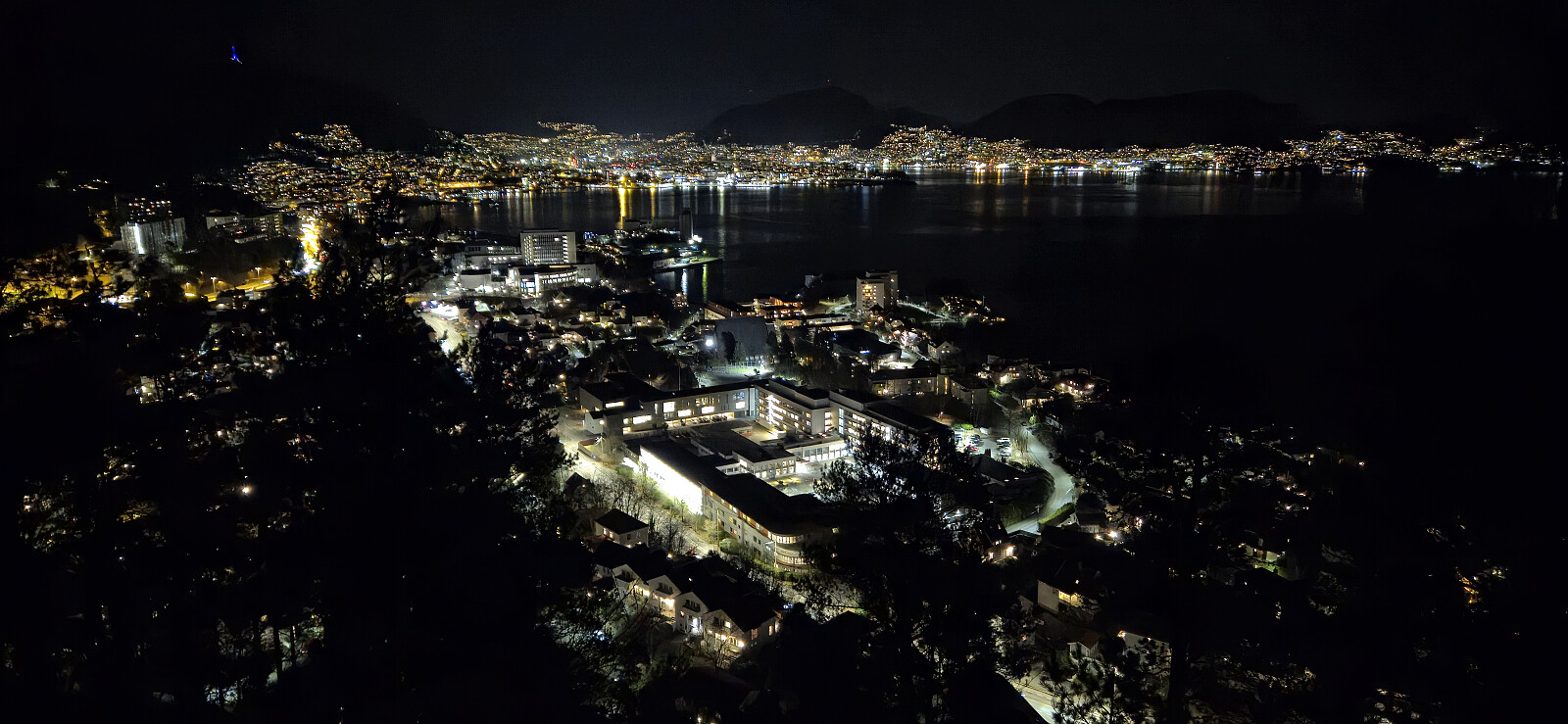
 Sunday hike at Fløyen.
Grønafjellet, Folldalshaugane and Linken
- Date:
- 10.01.2026
- Characteristic:
- Hillwalk
- Duration:
- 3:30h
- Distance:
- 10.8km
 A return to Folldalshaugane and Linken/Lyseskarfjellet with the objective of also visiting Grønafjellet . Started from the bus stop "Rød sør" and at first followed the same route as for my visit of Rødsaksla . Ended up following this route for a too long though and had to backtrack. In my defense the trails were covered by both snow and ice, however towards Grønafjellet there was a single set of footprints leading the way.
I was surprised to be able to follow a trail marked with small cairns for the final section to the larger summit cairn at Grønafjellet. Excellent views from the highest point and well worth a visit. After returning to the trail, or rather the footprints, I followed it/them east to connect with the main trail which I then followed via Folldalshaugane to Linken.
The descent to the main road contained lots of ice and would have been >>>
A return to Folldalshaugane and Linken/Lyseskarfjellet with the objective of also visiting Grønafjellet . Started from the bus stop "Rød sør" and at first followed the same route as for my visit of Rødsaksla . Ended up following this route for a too long though and had to backtrack. In my defense the trails were covered by both snow and ice, however towards Grønafjellet there was a single set of footprints leading the way.
I was surprised to be able to follow a trail marked with small cairns for the final section to the larger summit cairn at Grønafjellet. Excellent views from the highest point and well worth a visit. After returning to the trail, or rather the footprints, I followed it/them east to connect with the main trail which I then followed via Folldalshaugane to Linken.
The descent to the main road contained lots of ice and would have been >>>
Oppstemten and Landåseggen
- Date:
- 07.01.2026
- Characteristic:
- Hillwalk
- Duration:
- 2:00h
- Distance:
- 6.2km
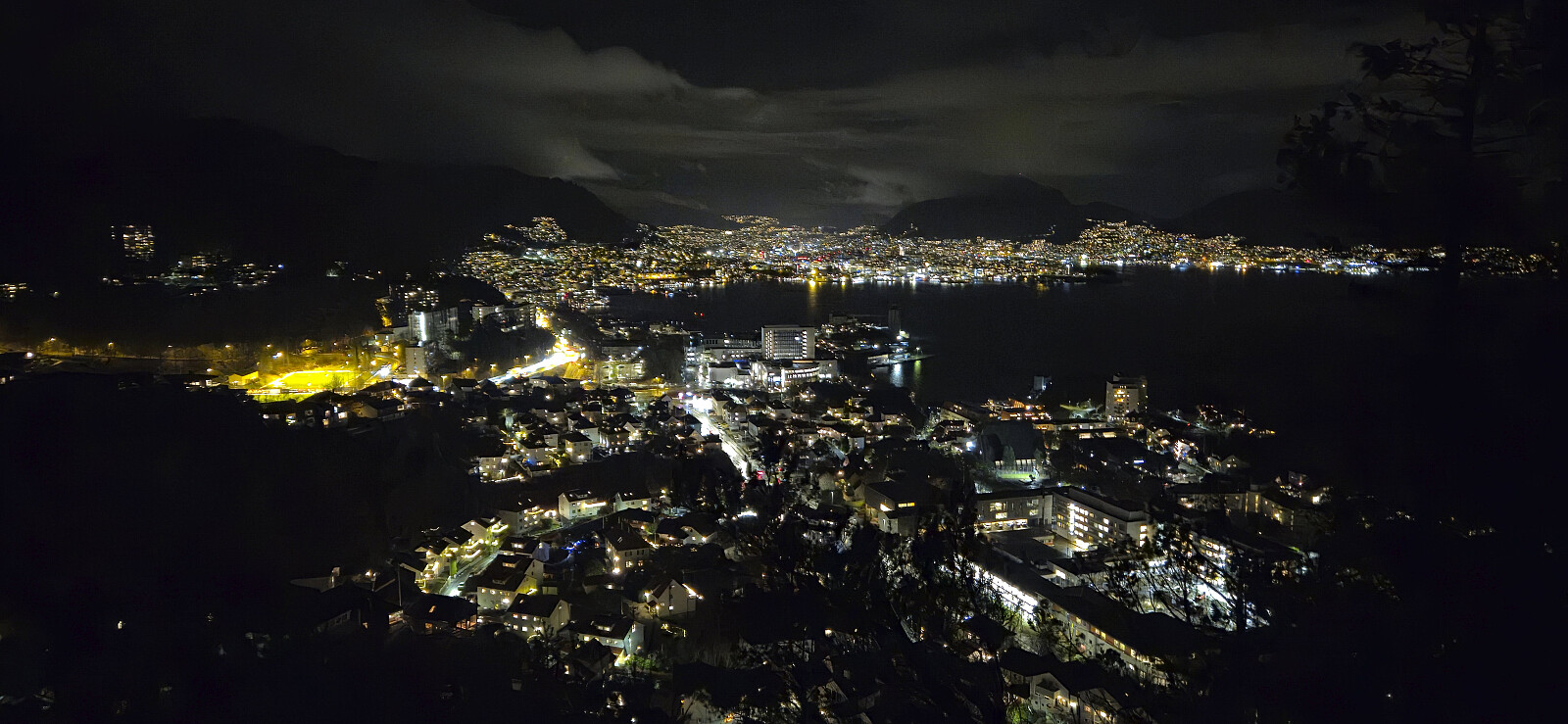
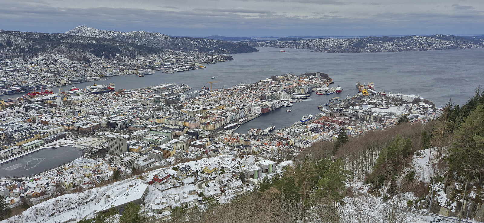
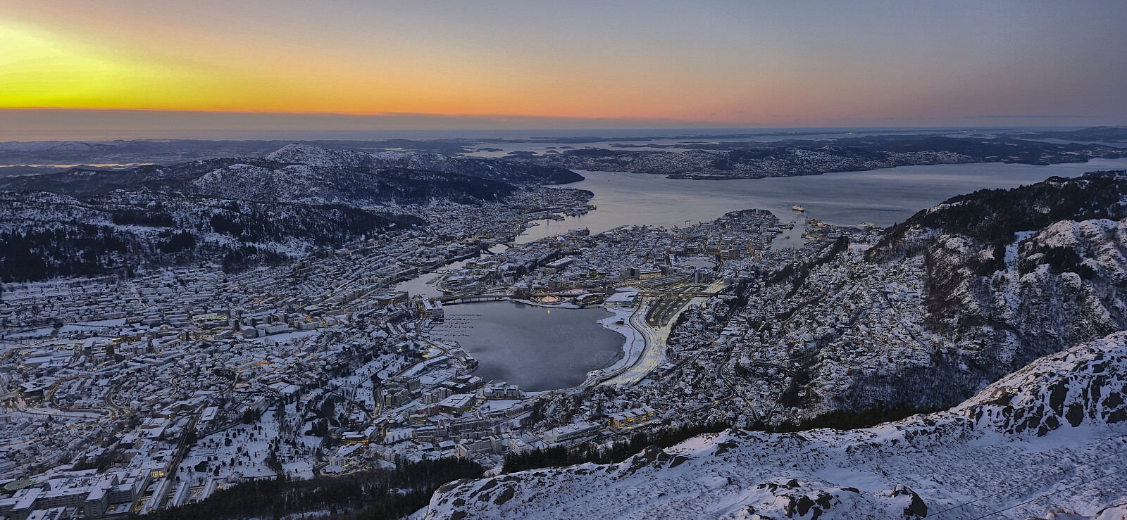 Short and cold hike after work to catch the sunset at Ulriken before heading home. Up via Oppstemten and down via Landåseggen. The hike also included a chance meeting with Endre as I was about to begin my descent. He was on his way across Vidden.
