Archive - Date
Archive - Activity
-
Bike trip (110)
- Bike trip - mixed (25)
- Bike trip - road (85)
-
Drive (9)
- Car drive (9)
-
Other trip (3)
- Kayaking (3)
-
Ski trip (116)
- Backcountry skiing (69)
- Cross-country skiing (47)
- Trip by foot (1887)
Collected lists
-
Utvalgte topper og turmål i Bergen
(348/349)
 99%
99% -
Alle topper i Bergen
(391/398)
98%
-
Voss ≥ 100m pf.
(96/98)
97%
-
Opptur Hordaland
(144/159)
90%
-
Stasjoner på Bergensbanen
(33/40)
82%
-
Ulvik ≥ 100m pf.
(28/38)
73%
-
Hordaland ≥ 100m pf.
(622/863)
72%
-
Mjølfjell PF > 100m
(21/31)
67%
-
Jondal ≥ 100m pf.
(15/23)
65%
-
Dagsturhyttene i Vestland
(36/61)
59%
-
Sunnhordland PF >= 100m
(105/186)
56%
-
Hordaland: Hardanger PF>=100m
(194/359)
54%
-
DNT-hytter i Hordaland
(23/45)
51%
-
Kvinnherad ≥ 100m pf.
(40/79)
50%
-
Eidfjord ≥ 100m pf.
(13/42)
30%
-
Sogndal ≥ 100m pf.
(23/81)
28%
-
Gulen ≥ 100m pf.
(15/54)
27%
-
Vik i Sogn ≥ 100m pf.
(10/46)
21%
-
Sogn - Sør for Sognefjorden PF>=100m
(31/159)
19%
-
DNT-hytter i Sogn og Fjordane
(8/47)
17%

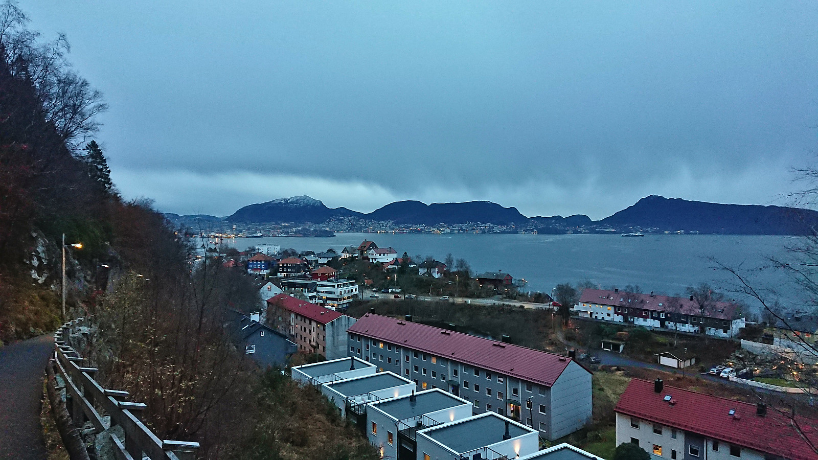
Fjellveien and Hellen festning
- Date:
- 03.12.2023
- Characteristic:
- Hike
- Duration:
- 2:35h
- Distance:
- 10.4km
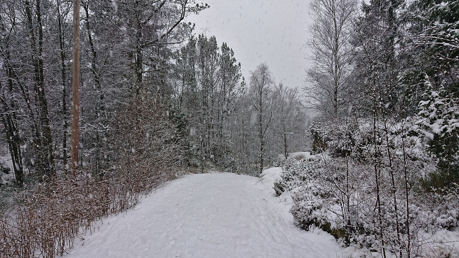 Sunday hike in the snow.
Ørneberget and Hellen festning
- Date:
- 02.12.2023
- Characteristic:
- Hillwalk
- Duration:
- 1:13h
- Distance:
- 4.4km
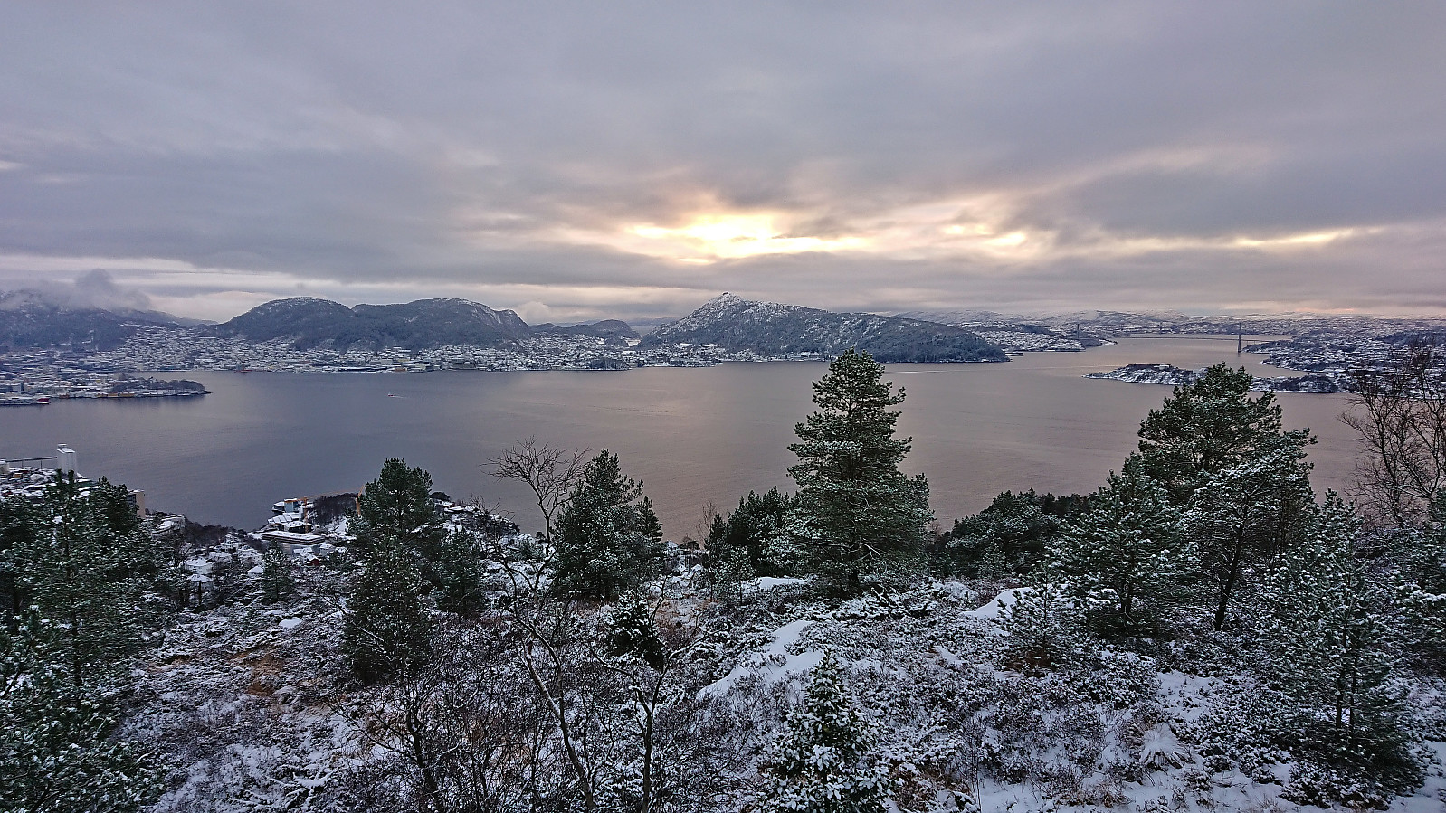 Short local Saturday hike in the snow.
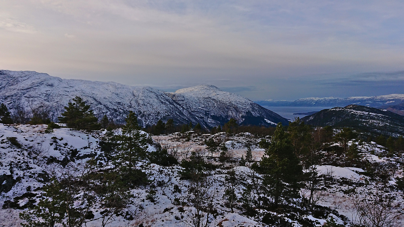
Fagerlifjellet from Gjetingsdalen
- Date:
- 26.11.2023
- Characteristic:
- Hillwalk
- Duration:
- 3:30h
- Distance:
- 5.6km
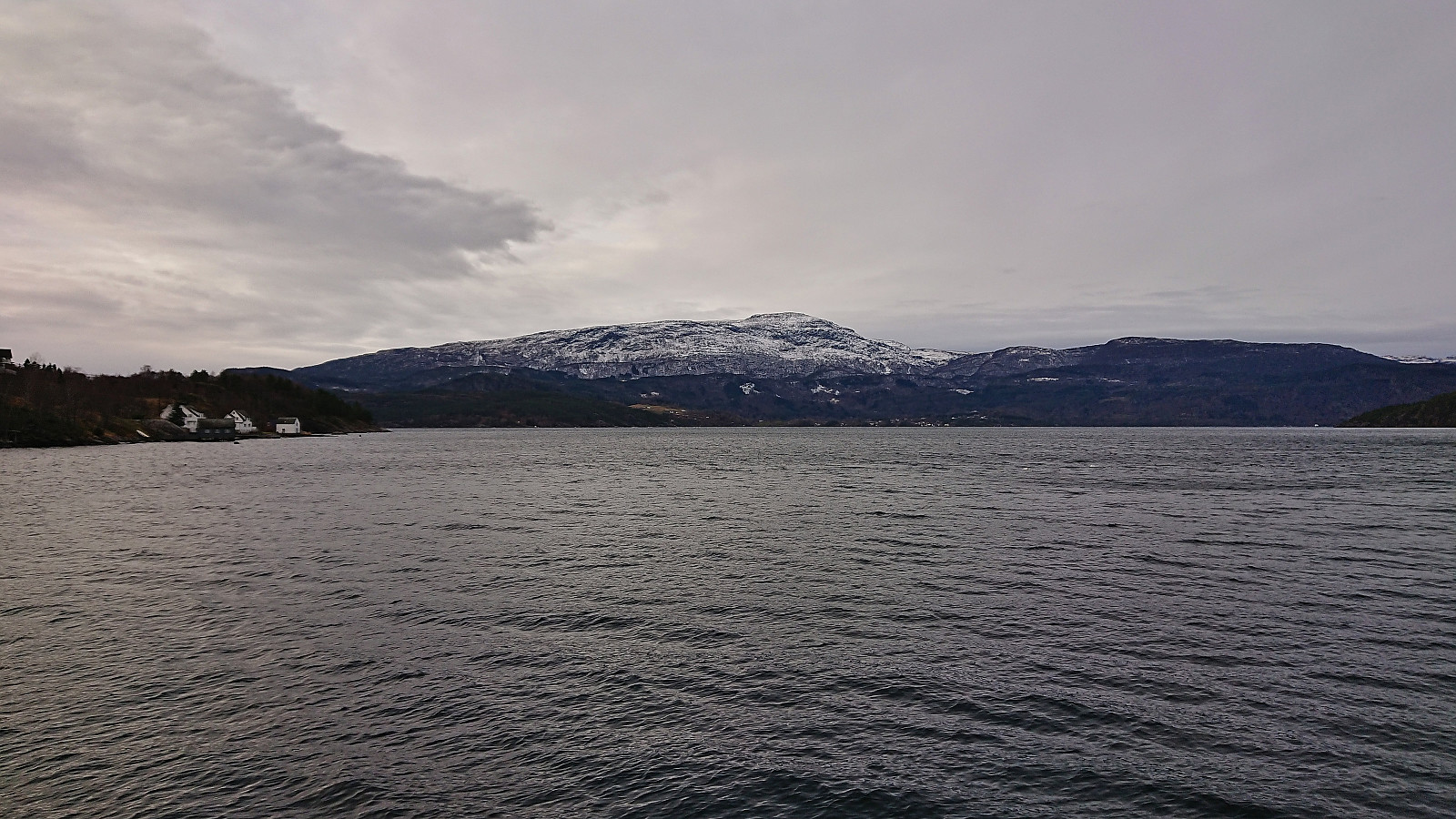
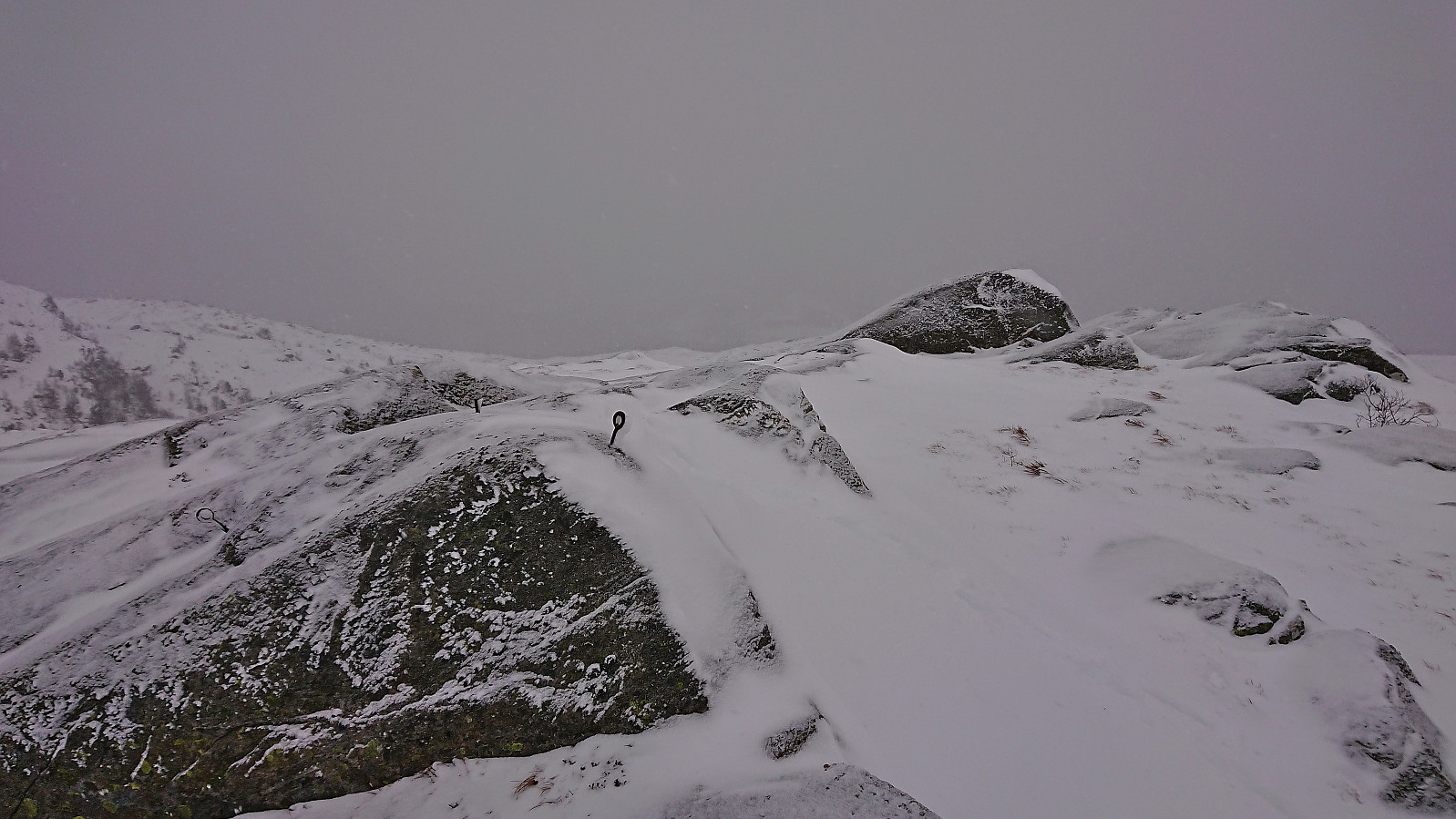 For the second Sunday in a row, Petter and I returned to Jondal. This time our goal was to ascend Fagerlifjellet from Gjetingsdalen. After taking the ferry from Tørvikbygd to Jondal, we therefore continued south to Maurangerfjorden which we then proceeded to follow southwest to Gjetingsdalen. Here we quickly realized that there was a lot more snow than expected, but thankfully just below the amount that would have made it difficult for us to park at the open space close to the planned trailhead.
After parking the car, we walked up the smaller road to Nedre Øyjorda, passed through a gate and continued up to Øvre Øyjorda. So far there had been some fairly recent footprints in the snow. We assumed that these would stop at Øvre Øyjorda, but luckily they continued across a small bridge just to the east and then >>>
For the second Sunday in a row, Petter and I returned to Jondal. This time our goal was to ascend Fagerlifjellet from Gjetingsdalen. After taking the ferry from Tørvikbygd to Jondal, we therefore continued south to Maurangerfjorden which we then proceeded to follow southwest to Gjetingsdalen. Here we quickly realized that there was a lot more snow than expected, but thankfully just below the amount that would have made it difficult for us to park at the open space close to the planned trailhead.
After parking the car, we walked up the smaller road to Nedre Øyjorda, passed through a gate and continued up to Øvre Øyjorda. So far there had been some fairly recent footprints in the snow. We assumed that these would stop at Øvre Øyjorda, but luckily they continued across a small bridge just to the east and then >>>
Across Hellen festning
- Date:
- 25.11.2023
- Characteristic:
- Hike
- Duration:
- 0:49h
- Distance:
- 3.7km
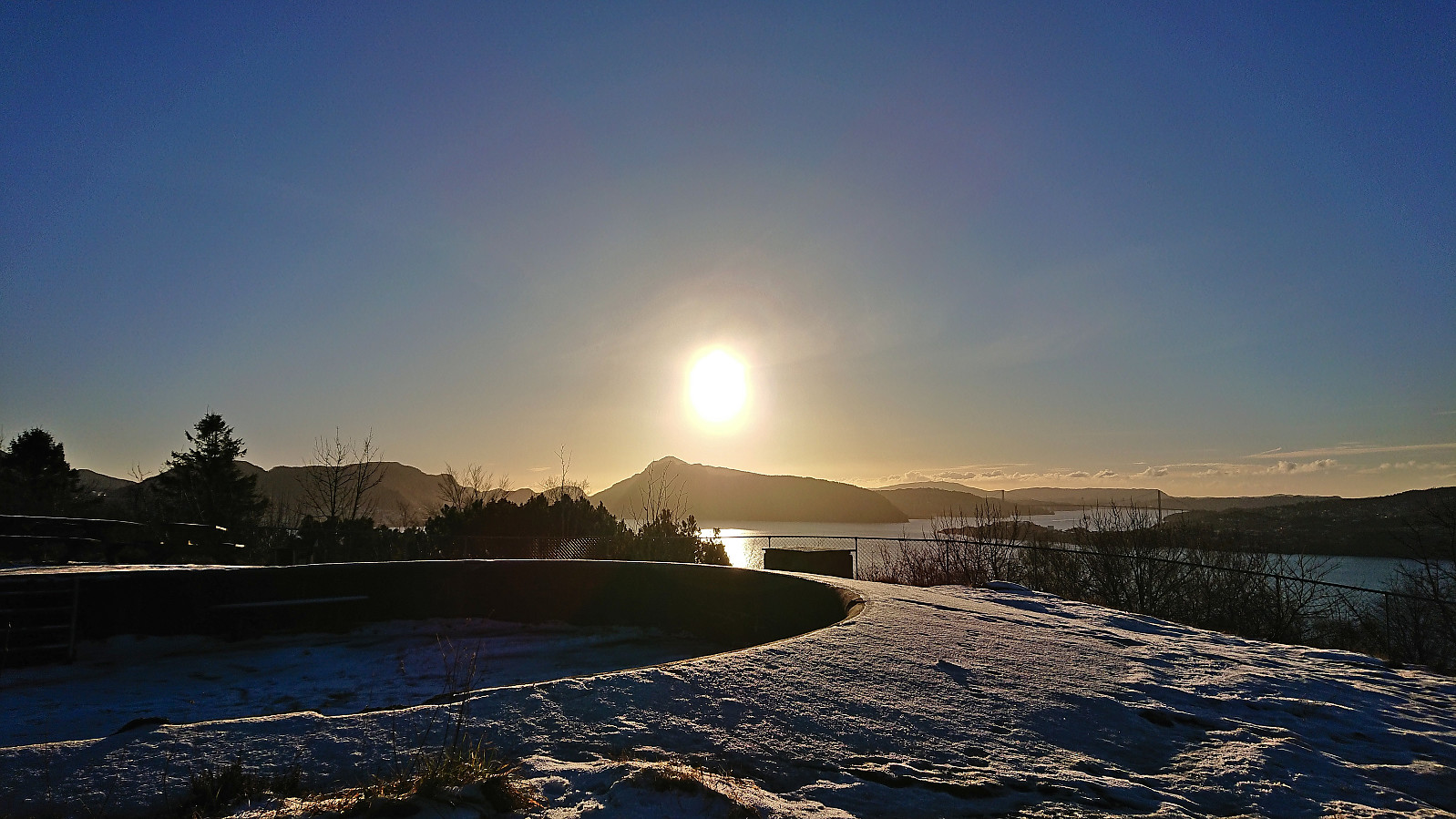 Short local Saturday hike across an icy Hellen festning.
Teglbu
- Date:
- 19.11.2023
- Characteristic:
- Hillwalk
- Duration:
- 0:33h
- Distance:
- 2.3km
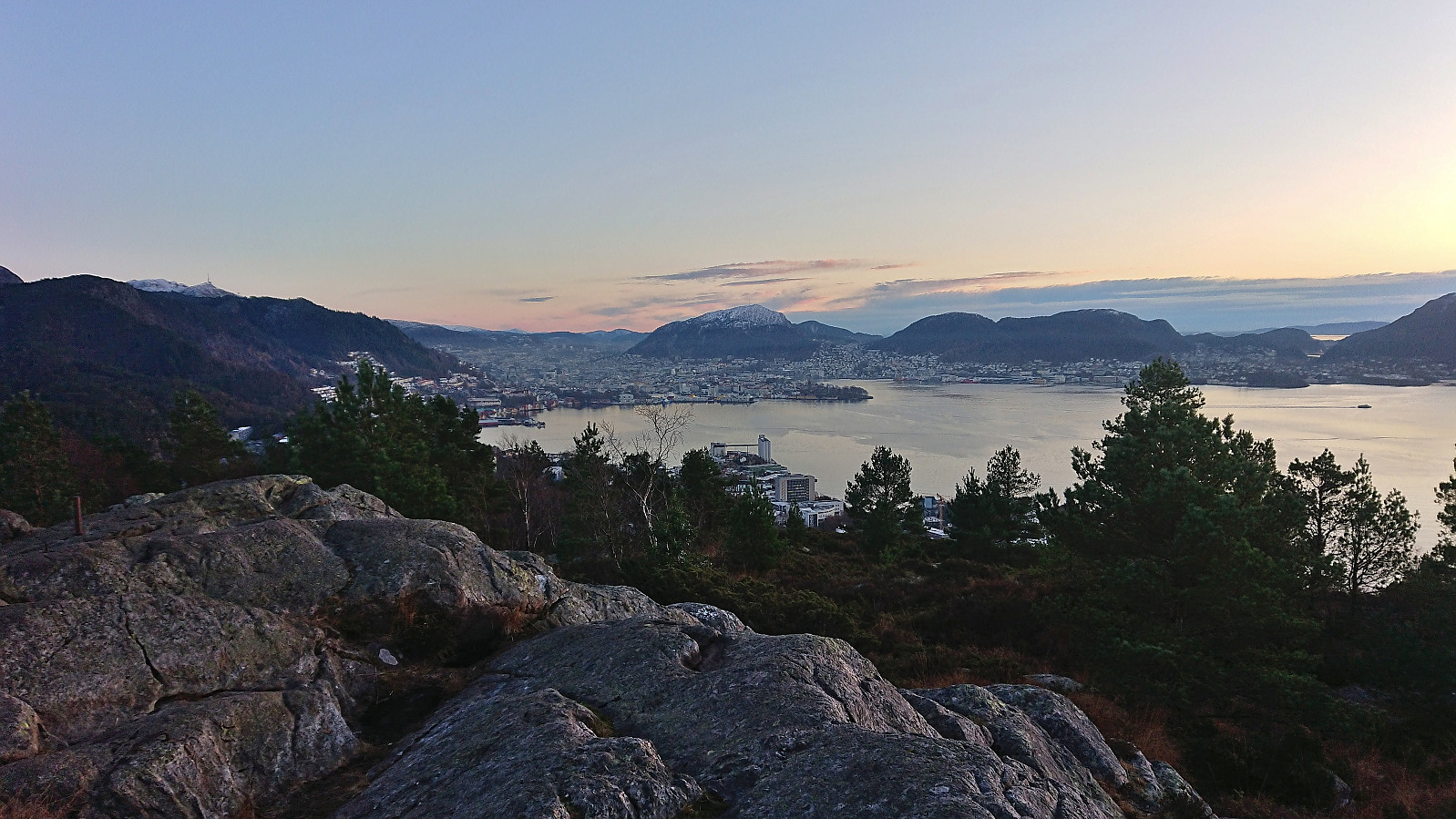
 Upon completing our hike to Gaddane and Hædna , we still had plenty of time before the ferry. I therefore decided to add a visit of Teglbu . So while Petter drove directly to Jondal, I was dropped off at the marked trailhead north of Teglhaugen. From there I could easily follow the marked trail to Teglbu. Before descending, I also made sure to visit the much better vantage point just west of the cabin which provided a nice overview of Jondal.
Given that I had ferry to catch, and had to move fast, I ended up losing the marked trail at the start of the descent. Basically, I turned right (west/northwest) too quickly. And while I probably could have descended via this route as well, I concluded that I still had the time to search for the proper trail and it did not take long before I was back on track.
The proper trail was steepish >>>
Upon completing our hike to Gaddane and Hædna , we still had plenty of time before the ferry. I therefore decided to add a visit of Teglbu . So while Petter drove directly to Jondal, I was dropped off at the marked trailhead north of Teglhaugen. From there I could easily follow the marked trail to Teglbu. Before descending, I also made sure to visit the much better vantage point just west of the cabin which provided a nice overview of Jondal.
Given that I had ferry to catch, and had to move fast, I ended up losing the marked trail at the start of the descent. Basically, I turned right (west/northwest) too quickly. And while I probably could have descended via this route as well, I concluded that I still had the time to search for the proper trail and it did not take long before I was back on track.
The proper trail was steepish >>>
Gaddane and Hædna
- Date:
- 19.11.2023
- Characteristic:
- Hillwalk
- Duration:
- 2:37h
- Distance:
- 4.7km
 Petter picked me up at my place at 07:00 and together we drove the roughly 1.5 hours to Tørvikbygd, arriving around 20 minutes before the ferry was to depart to Jondal. After a short and windy ferry ride we followed the road east to Espeland where we turned northeast towards Vassendvatnet. This road was a toll road and we paid the 60 kr via Vipps before continuing to a parking lot at around 350 meters above sea level . As this parking lot mainly seems to be used as a starting point for skiing trips in the winter, we had it all to ourselves.
We parked the car and briefly followed the road northeast before turning north and heading off-trail in the direction of the summit of Gaddane . There was a marked trail in the valley called Djupadalen between the two summits, however as following it would result in a bit of detour we instead opted for the more direct >>>
Petter picked me up at my place at 07:00 and together we drove the roughly 1.5 hours to Tørvikbygd, arriving around 20 minutes before the ferry was to depart to Jondal. After a short and windy ferry ride we followed the road east to Espeland where we turned northeast towards Vassendvatnet. This road was a toll road and we paid the 60 kr via Vipps before continuing to a parking lot at around 350 meters above sea level . As this parking lot mainly seems to be used as a starting point for skiing trips in the winter, we had it all to ourselves.
We parked the car and briefly followed the road northeast before turning north and heading off-trail in the direction of the summit of Gaddane . There was a marked trail in the valley called Djupadalen between the two summits, however as following it would result in a bit of detour we instead opted for the more direct >>>
Across Hellen festning
- Date:
- 18.11.2023
- Characteristic:
- Hike
- Duration:
- 0:36h
- Distance:
- 3.1km
 Short local Saturday hike.
Ørneberget and Furukammen
- Date:
- 17.11.2023
- Characteristic:
- Hillwalk
- Duration:
- 0:52h
- Distance:
- 3.9km
 Short local hike just before sunset after a day at the home office.
Across Hellen festning
- Date:
- 14.11.2023
- Characteristic:
- Hike
- Duration:
- 0:43h
- Distance:
- 3.4km
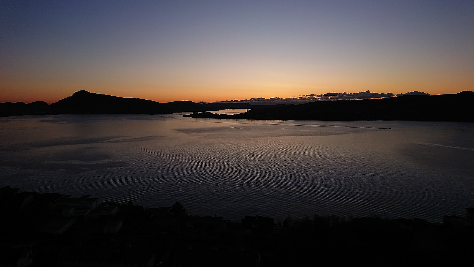 Short local hike just after sunset.
Gamle Bergen, Sandviksbatteriet and Ørneberget NV
- Date:
- 12.11.2023
- Characteristic:
- Hike
- Duration:
- 1:52h
- Distance:
- 9.3km
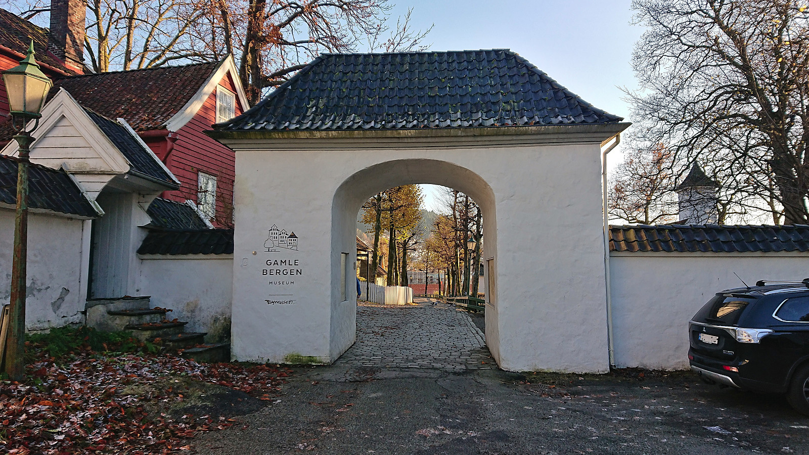 Local Sunday hike in excellent weather.
