Arkiv - dato
Arkiv - aktivitet
-
Annen tur (3)
- Kajakkpadling (3)
- Fottur (1897)
-
Kjøretur (9)
- Biltur (9)
-
Skitur (116)
- Fjellskitur (69)
- Langrennstur (47)
-
Sykkeltur (111)
- Blandet sykling (25)
- Gatesykling (86)
Lister jeg samler etter
-
Utvalgte topper og turmål i Bergen
(349/351)
 99%
99% -
Alle topper i Bergen
(393/400)
98%
-
Voss ≥ 100m pf.
(96/98)
97%
-
Opptur Hordaland
(144/159)
90%
-
Stasjoner på Bergensbanen
(33/40)
82%
-
Ulvik ≥ 100m pf.
(30/38)
78%
-
Hordaland ≥ 100m pf.
(624/863)
72%
-
Mjølfjell PF > 100m
(21/31)
67%
-
Jondal ≥ 100m pf.
(15/23)
65%
-
Dagsturhyttene i Vestland
(36/61)
59%
-
Sunnhordland PF >= 100m
(105/186)
56%
-
Hordaland: Hardanger PF>=100m
(196/359)
54%
-
DNT-hytter i Hordaland
(23/45)
51%
-
Kvinnherad ≥ 100m pf.
(40/79)
50%
-
Eidfjord ≥ 100m pf.
(13/42)
30%
-
Sogndal ≥ 100m pf.
(23/81)
28%
-
Gulen ≥ 100m pf.
(15/54)
27%
-
Vik i Sogn ≥ 100m pf.
(10/46)
21%
-
Sogn - Sør for Sognefjorden PF>=100m
(31/159)
19%
-
DNT-hytter i Sogn og Fjordane
(8/47)
17%

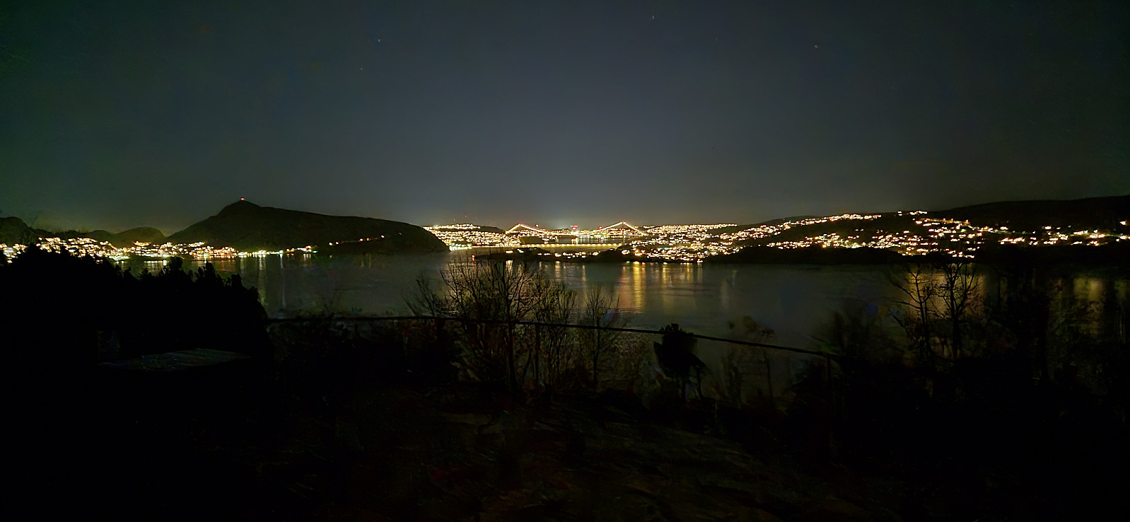
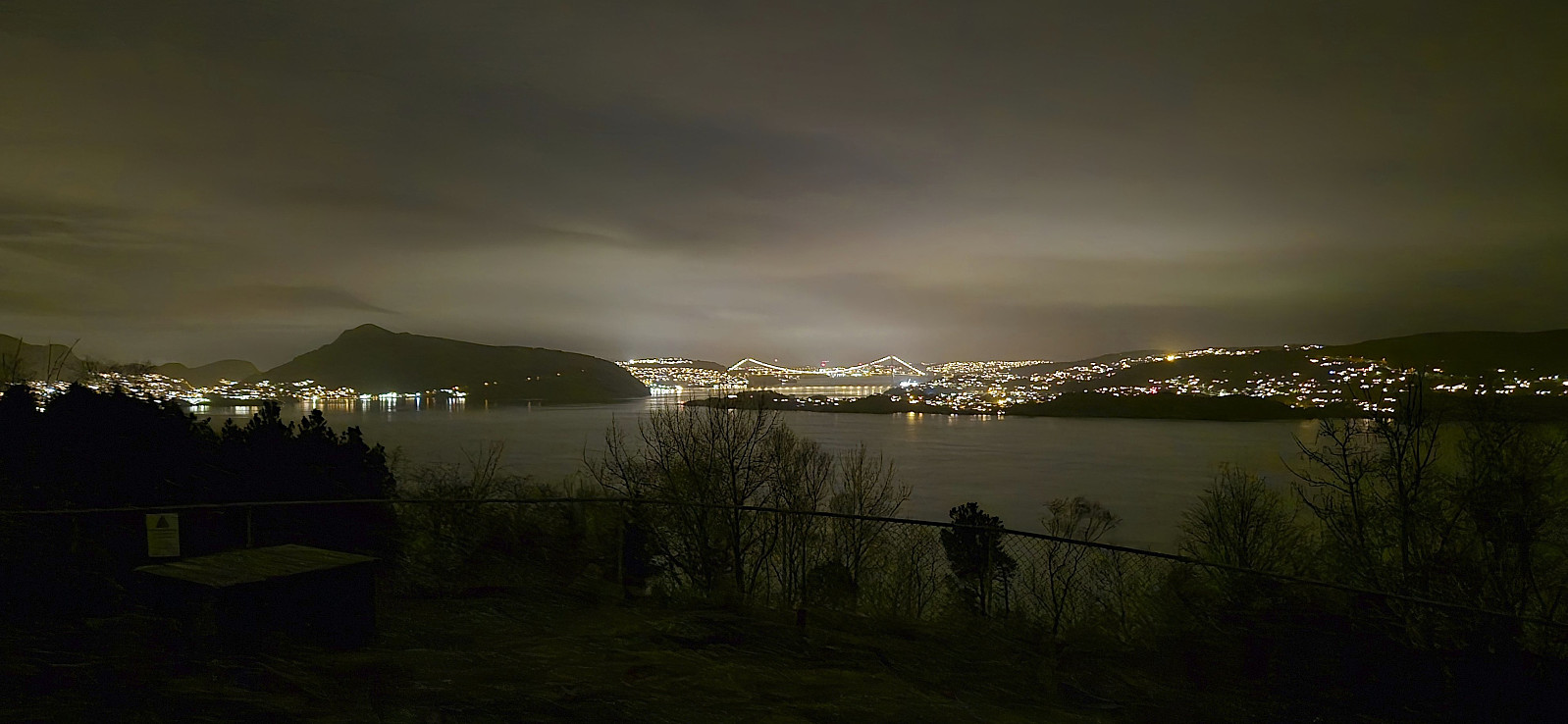
Across Hellen festning
- Dato:
- 28.11.2024
- Turtype:
- Fottur
- Turlengde:
- 0:37t
- Distanse:
- 3,2km
 Short local evening hike.
Across Hellen festning
- Dato:
- 24.11.2024
- Turtype:
- Fottur
- Turlengde:
- 0:36t
- Distanse:
- 3,2km
 Short local Sunday hike after it finally stopped raining.
Kinno Nordøst and Midtfjellsåta from Vistvik
- Dato:
- 23.11.2024
- Turtype:
- Fjelltur
- Turlengde:
- 4:19t
- Distanse:
- 12,8km
 A return to Fitjar to recomplete the Fitjar ≥ 100m pf. list after Kinno and Beintjørnvarden recently had lost their spots on the list. I took the bus and ferry to Stord and got off at the stop "Vistvik vest". After a short walk along the road, I continued on the snow-covered gravel road towards Kvernavatnet , which turned into a trail about halfway to the lake.
Until Kvernavatnet I had been following the footprints of two other hikers, but at the shelter next to the lake our ways parted and from there on I would not see any footprints but my own until returning to Kvernavatnet towards the end of the hike. When arriving at Svartavatnet I made a quick visit of Kjeringjo before following the marked trail towards Kinno, although with the occasional off-trail shortcut.
The new highest point at Kinno, referred to as Kinno Nordøst was easily located and only required >>>
A return to Fitjar to recomplete the Fitjar ≥ 100m pf. list after Kinno and Beintjørnvarden recently had lost their spots on the list. I took the bus and ferry to Stord and got off at the stop "Vistvik vest". After a short walk along the road, I continued on the snow-covered gravel road towards Kvernavatnet , which turned into a trail about halfway to the lake.
Until Kvernavatnet I had been following the footprints of two other hikers, but at the shelter next to the lake our ways parted and from there on I would not see any footprints but my own until returning to Kvernavatnet towards the end of the hike. When arriving at Svartavatnet I made a quick visit of Kjeringjo before following the marked trail towards Kinno, although with the occasional off-trail shortcut.
The new highest point at Kinno, referred to as Kinno Nordøst was easily located and only required >>>
Rundemanen from Haukeland sykehus
- Dato:
- 21.11.2024
- Turtype:
- Fottur
- Turlengde:
- 3:56t
- Distanse:
- 14,5km
 Left work early for a hike with three colleagues to Rundemanen . We hoped to catch the sunset at the summit, but this did not pan out, both due to a delayed start and the sun cheating and hiding behind the clouds as we approached Brushytten .
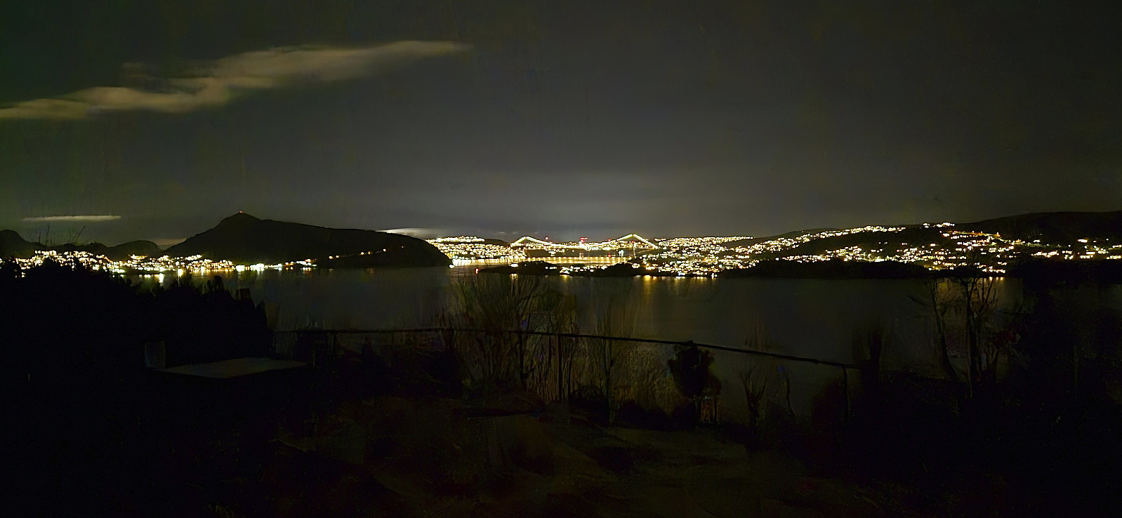
Across Hellen festning
- Dato:
- 19.11.2024
- Turtype:
- Fottur
- Turlengde:
- 0:36t
- Distanse:
- 3,2km
 Short local evening hike after dark.
Hellestveit to Hope via Hellestveitnova and Storenipa
- Dato:
- 17.11.2024
- Turtype:
- Fjelltur
- Turlengde:
- 1:26t
- Distanse:
- 4,6km
 After the recent discovery of a new peak in Lindås with a vertical separation of more than 100 meters a return to Lindås was required to recomplete the Lindås ≥ 100m pf. list . A perfect task for a gray Sunday in the middle of November.
I started by taking the bus (or rather buses, three in total) and got off at the stop "Knarvik nord, Alver" and from there walked the short distance to the marked trailhead for Hellestveitnova . At the trailhead there was a nice wooden sign indicating several vantage points with views in different directions, but either I missed them all or the sign was put up before the trees grew tall enough to hide the views.
The trail was marked by plastic bands that made it straightforward to arrive at Hellestveitnova, only requiring a minor detour from the main trail. I continued northwest towards Storenipa , still following the markers. There were a couple of hiking signs, but as none of them included >>>
After the recent discovery of a new peak in Lindås with a vertical separation of more than 100 meters a return to Lindås was required to recomplete the Lindås ≥ 100m pf. list . A perfect task for a gray Sunday in the middle of November.
I started by taking the bus (or rather buses, three in total) and got off at the stop "Knarvik nord, Alver" and from there walked the short distance to the marked trailhead for Hellestveitnova . At the trailhead there was a nice wooden sign indicating several vantage points with views in different directions, but either I missed them all or the sign was put up before the trees grew tall enough to hide the views.
The trail was marked by plastic bands that made it straightforward to arrive at Hellestveitnova, only requiring a minor detour from the main trail. I continued northwest towards Storenipa , still following the markers. There were a couple of hiking signs, but as none of them included >>>
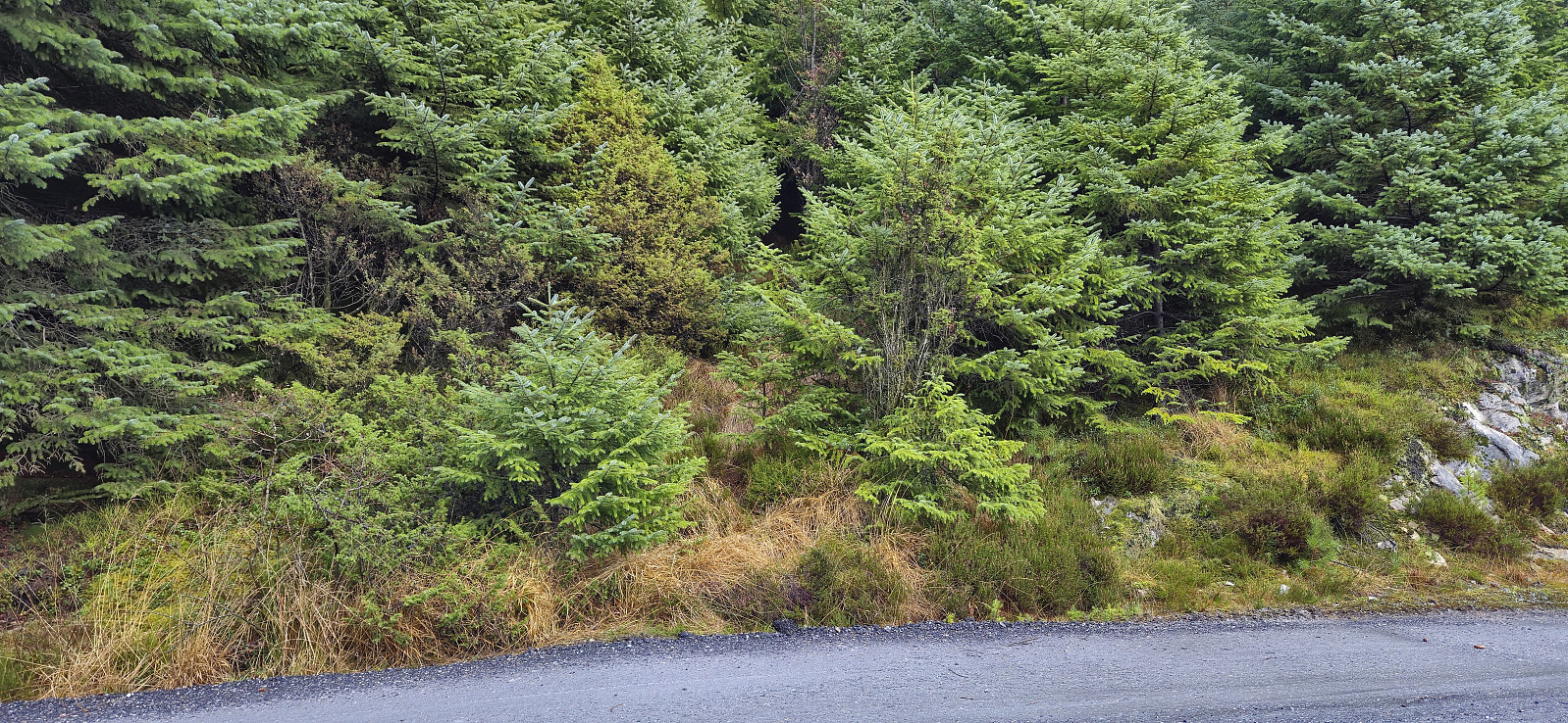
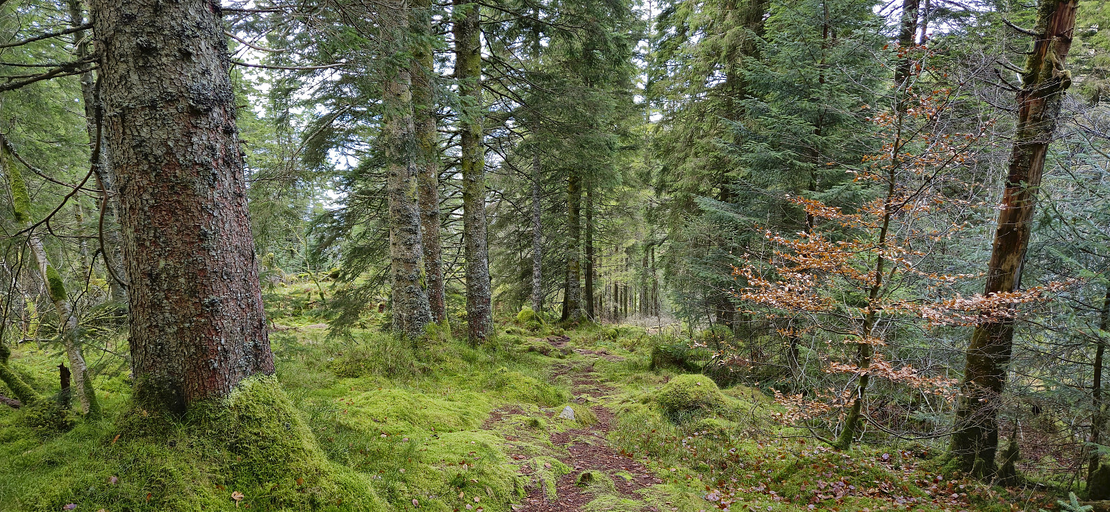
Hellemyrstien and Ørneberget NV
- Dato:
- 16.11.2024
- Turtype:
- Fottur
- Turlengde:
- 1:18t
- Distanse:
- 6,6km
 Short local hike on a wet and windy Saturday.
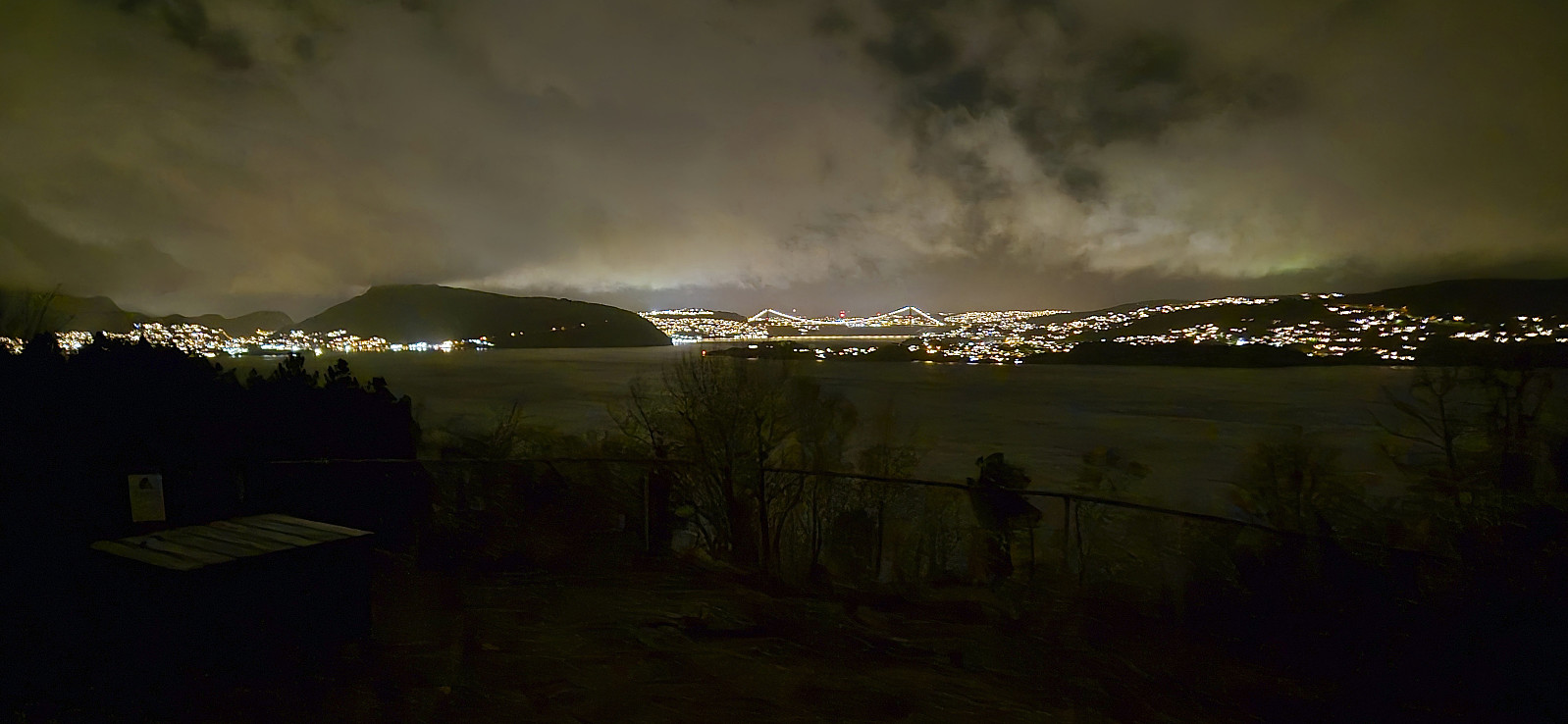
Across Hellen festning
- Dato:
- 12.11.2024
- Turtype:
- Fottur
- Turlengde:
- 0:39t
- Distanse:
- 3,2km
 Short local evening hike after dark.
Fløyfjellet and Fjellveien
- Dato:
- 10.11.2024
- Turtype:
- Fjelltur
- Turlengde:
- 1:45t
- Distanse:
- 6,6km
 A return to Fløyfjellet to try out a (for me) new trail I had come across in connection with last weekend's shortcut up from Skredderdalen . After ascending from Vågen via Fløyen to Fløyfjellet, I therefore followed the above-mentioned trail down the valley north/northeast of Fløyfjellet where I at the end connected with the gravel road in Skredderdalen. Overall a positive discovery and a trail that I will probably use again in the future. The hike was concluded by following Fjellveien north to Munkebotn, from where I took the bus home to Lønborg.
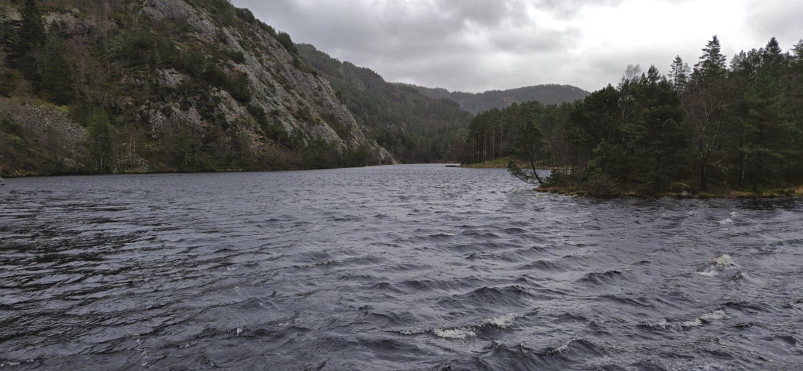
Jordalsnuten from Jordalstunnelen
- Dato:
- 09.11.2024
- Turtype:
- Fjelltur
- Turlengde:
- 2:31t
- Distanse:
- 4,6km
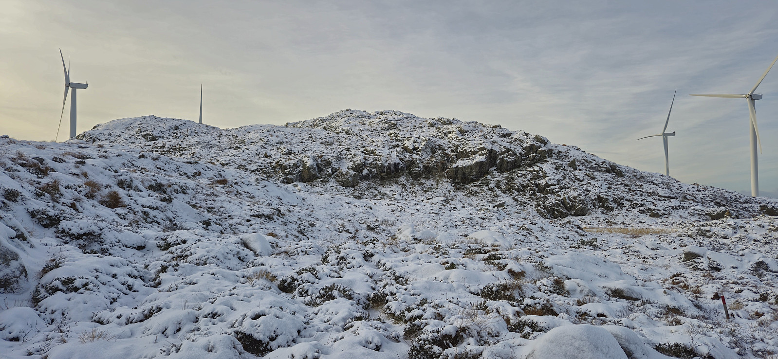
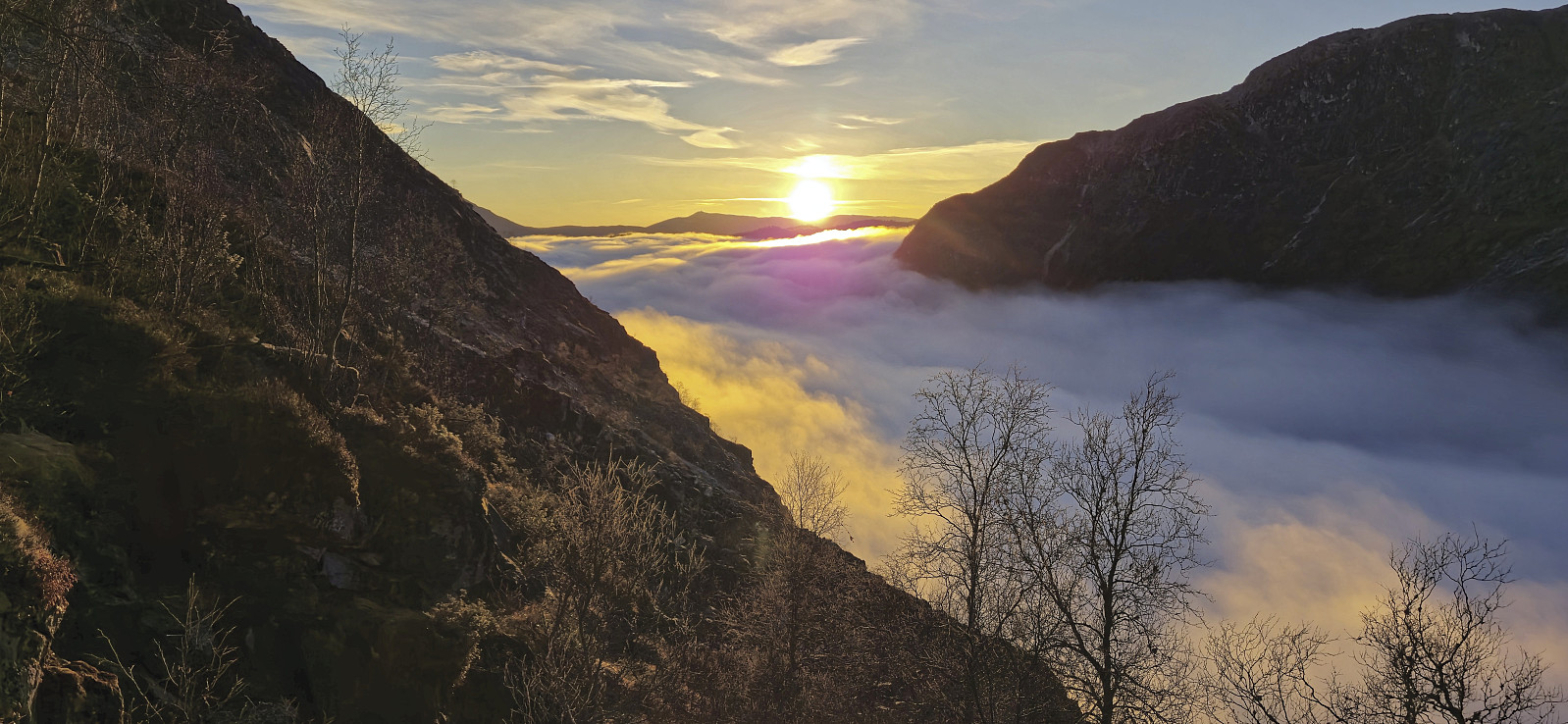 After the hike to Kjøroldenuten and Nosafjellet , Petter and I drove the short distance south to the top of Jordalstunnelen. Here we found parking next to the road and followed a similar shortcut as other hikers have done in order to quickly connect with the trail to Jordalsnuten . This included a short off-trail ascent starting from just west of the tunnel opening but it did not take long before we located the trail which could then easily be followed all the way to Hyllandsskaret .
While we had started out in quite dense fog, we climbed out of the fog long before getting to Hyllandsskaret and could thus enjoy the spectacular views. The views were of course made even more special by the dense fog covering the valleys below us. From there, the final distance to the summit was straightforward for more outstanding views. After lots of pictures we returned the same way >>>
After the hike to Kjøroldenuten and Nosafjellet , Petter and I drove the short distance south to the top of Jordalstunnelen. Here we found parking next to the road and followed a similar shortcut as other hikers have done in order to quickly connect with the trail to Jordalsnuten . This included a short off-trail ascent starting from just west of the tunnel opening but it did not take long before we located the trail which could then easily be followed all the way to Hyllandsskaret .
While we had started out in quite dense fog, we climbed out of the fog long before getting to Hyllandsskaret and could thus enjoy the spectacular views. The views were of course made even more special by the dense fog covering the valleys below us. From there, the final distance to the summit was straightforward for more outstanding views. After lots of pictures we returned the same way >>>
