Archive - Date
Archive - Activity
-
Bike trip (111)
- Bike trip - mixed (25)
- Bike trip - road (86)
-
Drive (9)
- Car drive (9)
-
Other trip (3)
- Kayaking (3)
-
Ski trip (116)
- Backcountry skiing (69)
- Cross-country skiing (47)
- Trip by foot (1897)
Collected lists
-
Utvalgte topper og turmål i Bergen
(349/351)
 99%
99% -
Alle topper i Bergen
(393/400)
98%
-
Voss ≥ 100m pf.
(96/98)
97%
-
Opptur Hordaland
(144/159)
90%
-
Stasjoner på Bergensbanen
(33/40)
82%
-
Ulvik ≥ 100m pf.
(30/38)
78%
-
Hordaland ≥ 100m pf.
(624/863)
72%
-
Mjølfjell PF > 100m
(21/31)
67%
-
Jondal ≥ 100m pf.
(15/23)
65%
-
Dagsturhyttene i Vestland
(36/61)
59%
-
Sunnhordland PF >= 100m
(105/186)
56%
-
Hordaland: Hardanger PF>=100m
(196/359)
54%
-
DNT-hytter i Hordaland
(23/45)
51%
-
Kvinnherad ≥ 100m pf.
(40/79)
50%
-
Eidfjord ≥ 100m pf.
(13/42)
30%
-
Sogndal ≥ 100m pf.
(23/81)
28%
-
Gulen ≥ 100m pf.
(15/54)
27%
-
Vik i Sogn ≥ 100m pf.
(10/46)
21%
-
Sogn - Sør for Sognefjorden PF>=100m
(31/159)
19%
-
DNT-hytter i Sogn og Fjordane
(8/47)
17%

Kongshaugen i Samdalen
- Date:
- 28.10.2024
- Characteristic:
- Hillwalk
- Duration:
- 0:45h
- Distance:
- 3.4km
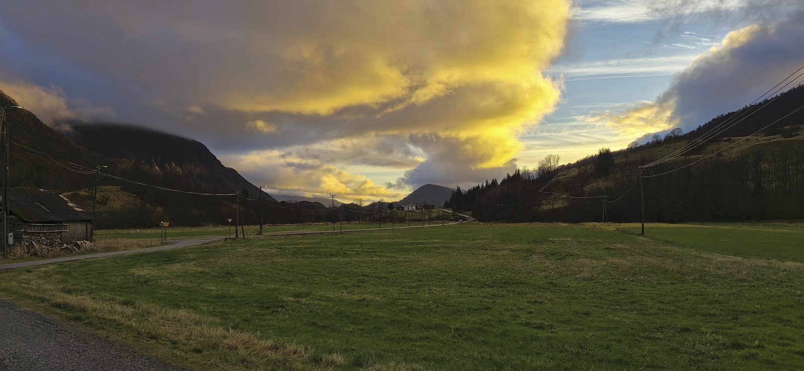 A long detour on the way home from work for a quick visit of Kongshaugen i Samdalen - yet another minor peak on the Alle topper i Bergen list. I got off the bus at Samdal and from there briefly followed the road north in the direction of Bontveit before finding an opening in the barbed wire fence and could then easily complete the short remaining off-trail distance to the summit. The area seemed to be used for grazing animals, most likely horses(?), but thankfully I did not see any this evening. After a couple of pictures, I descended the same way and, given that I still had 35 minutes until the return bus, continued northeast to Hausdal for a closer look at a rather unstable bridge I had seen in an earlier trip report from Helwig . The bridge had not been repaired and to me it seemed safer to instead wade across the river just downstream of the bridge.
Rislikampen
- Date:
- 27.10.2024
- Characteristic:
- Hillwalk
- Duration:
- 1:26h
- Distance:
- 3.4km
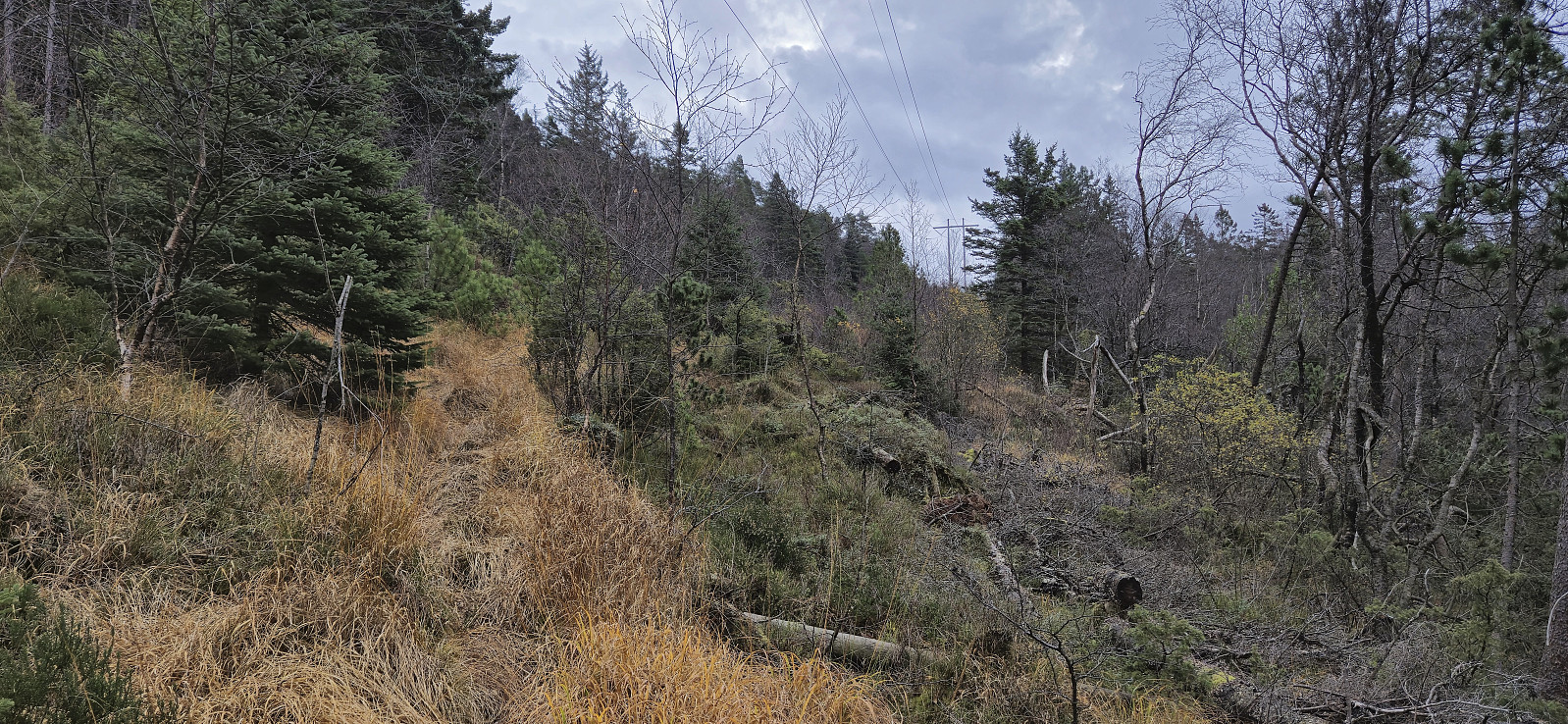
 Inspired by a recent trip report by Bull , I decided to check out Rislikampen as a potential new addition to the Alle topper i Bergen list. After taking the bus (or rather bus, train and bus) I got off at Søylen from where I started on the trail to Furedalsvatnet. I quickly left this trail though and instead continued on a weak and wet trail towards Rislikampen. The trailhead itself was unmarked and if it had not been for Bull's report I do not think I even would have considered it as the start of a proper trail.
Thankfully, the trail soon turned less weak, and especially the part where it headed northeast to the Rislikampen ridge was very easy to follow. Here the trail however pretty much disappeared and I was left finding my own way for the rest of the ascent. But as the direction was pretty obvious now anyway the summit was still reached without >>>
Inspired by a recent trip report by Bull , I decided to check out Rislikampen as a potential new addition to the Alle topper i Bergen list. After taking the bus (or rather bus, train and bus) I got off at Søylen from where I started on the trail to Furedalsvatnet. I quickly left this trail though and instead continued on a weak and wet trail towards Rislikampen. The trailhead itself was unmarked and if it had not been for Bull's report I do not think I even would have considered it as the start of a proper trail.
Thankfully, the trail soon turned less weak, and especially the part where it headed northeast to the Rislikampen ridge was very easy to follow. Here the trail however pretty much disappeared and I was left finding my own way for the rest of the ascent. But as the direction was pretty obvious now anyway the summit was still reached without >>>
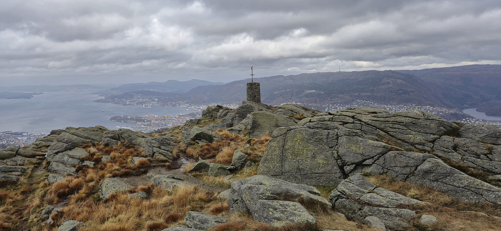
Sandviksfjellet via half of Stoltzekleiven
- Date:
- 26.10.2024
- Characteristic:
- Hillwalk
- Duration:
- 2:01h
- Distance:
- 8.1km
 An alternative ascent to Sandviksfjellet where I started on the route up Stoltzekleiven but left the trail around the halfway point. Here I instead followed a weaker and wetter trail southeast underneath the overhead powerlines before later turning north towards the summit when connecting with the trail coming up from Skredderdalen.
Løvstakken from Søndre Skogveien
- Date:
- 24.10.2024
- Characteristic:
- Hillwalk
- Duration:
- 3:00h
- Distance:
- 7.4km
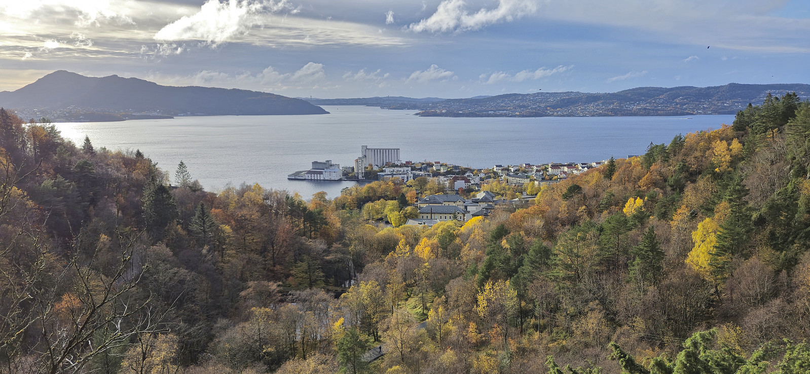
 Left work early for a windy hike across Løvstakken with a colleague.
The GPS had some issues along the way, hence some of the measurements are clearly wrong.
Left work early for a windy hike across Løvstakken with a colleague.
The GPS had some issues along the way, hence some of the measurements are clearly wrong.
Eidsvåg and Munkebotn
- Date:
- 20.10.2024
- Characteristic:
- Hike
- Duration:
- 1:58h
- Distance:
- 8.9km
 Local Sunday hike during an extended gap between the rain showers.
Gamle Bergen
- Date:
- 19.10.2024
- Characteristic:
- Hike
- Duration:
- 0:49h
- Distance:
- 4.1km
 Short local Sunday hike. Still low on energy after the cold.
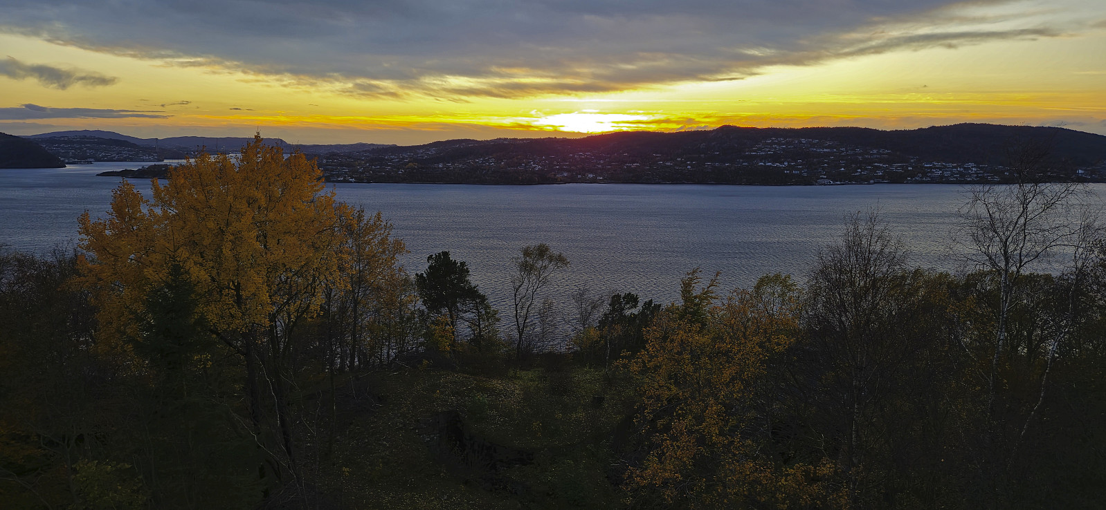
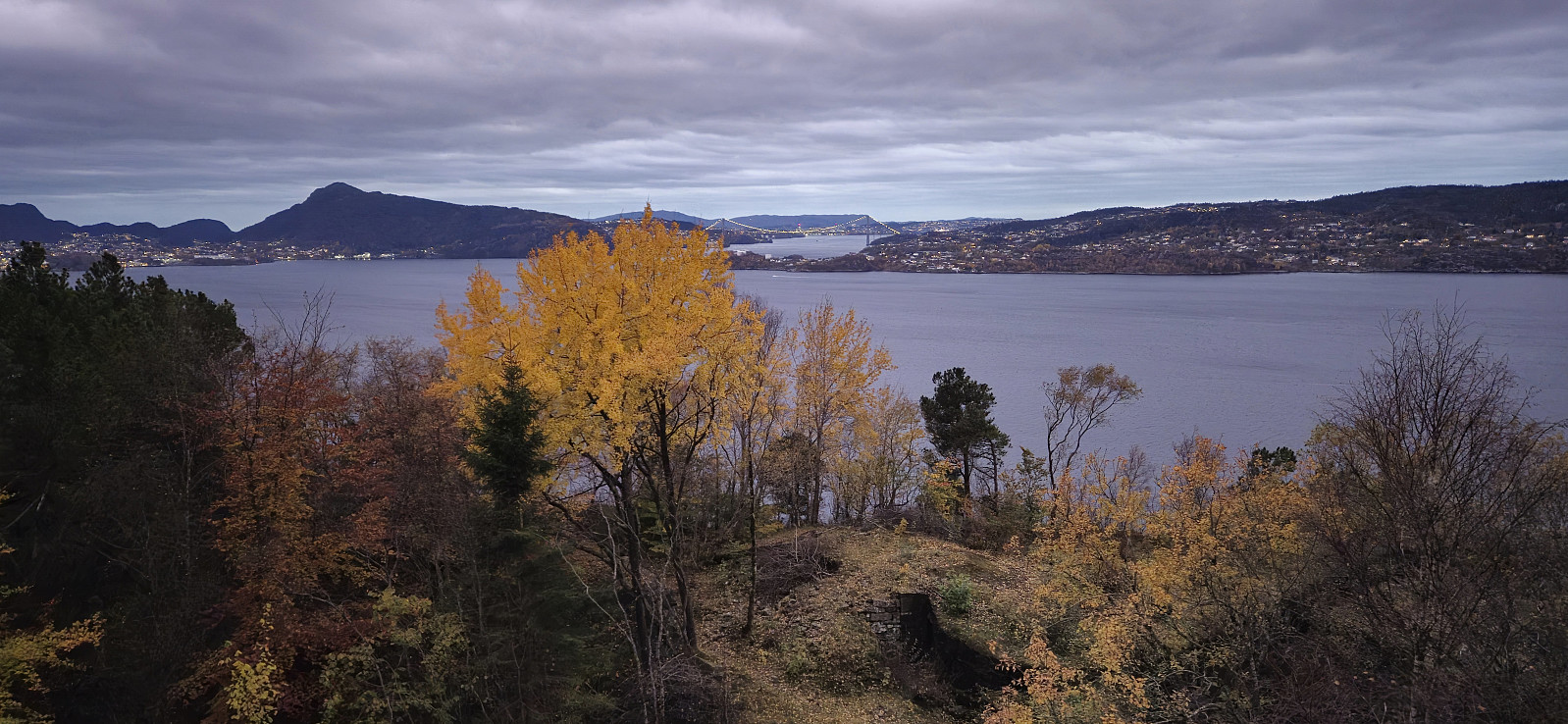
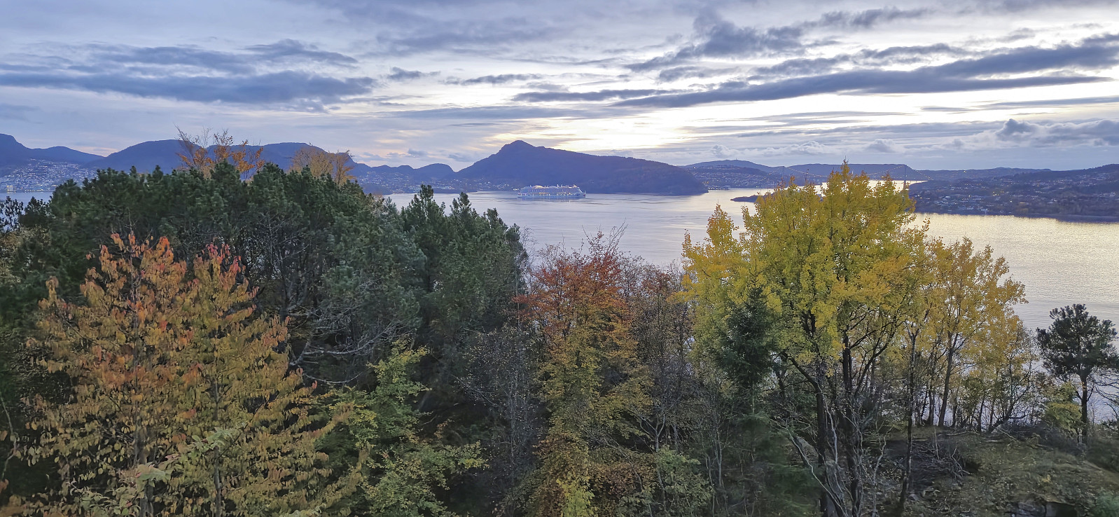
Across Hellen festning
- Date:
- 18.10.2024
- Characteristic:
- Hike
- Duration:
- 0:40h
- Distance:
- 3.1km
 Another short evening hike. Still recovering from the cold.
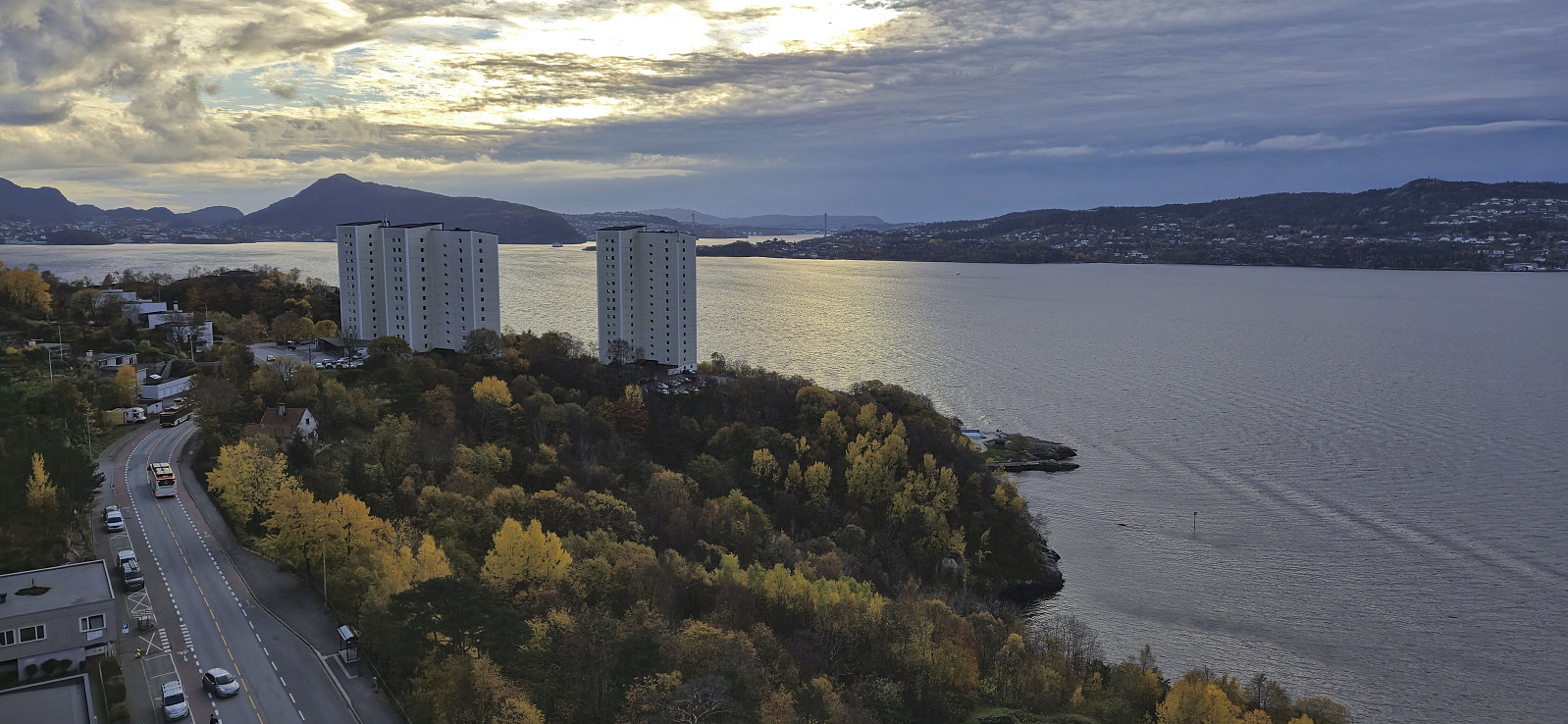
Across Hellen festning
- Date:
- 17.10.2024
- Characteristic:
- Hike
- Duration:
- 0:39h
- Distance:
- 3.2km
 Pushed myself to do a short local evening hike. Still quite reduced by the cold.
Across Hellen festning
- Date:
- 14.10.2024
- Characteristic:
- Hike
- Duration:
- 0:36h
- Distance:
- 3.2km
 Short local evening hike after being knocked out by a nasty cold ever since I returned from Strasbourg the week before.
Champ du Feu
- Date:
- 08.10.2024
- Characteristic:
- Car drive
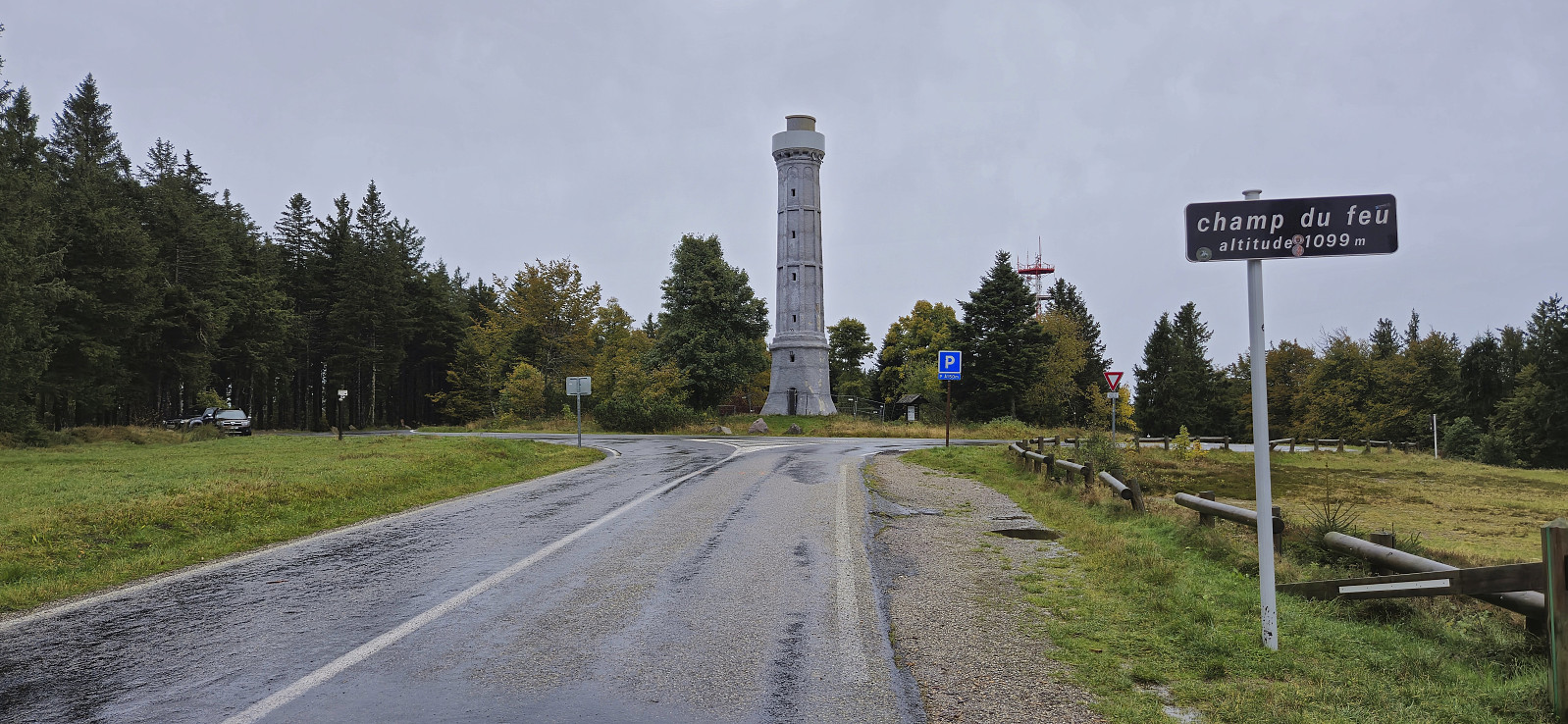 On the way to the airport in Strasbourg for my flight back to Bergen, I convinced an old friend and colleague to go for a drive to Champ du Feu - the highest point of the Lower Rhine. We started out in heavy rain, but it more or less cleared up as we started our ascent. We parked at a designated area just south of the roundabout and completed the remaining short distance on foot. The summit area contained a large observation tower but as it looked to be in need of repair we did not attempt to ascend to the top of it. As a result the views were quite limited, but thankfully the drive up had been very nice and with several hints of the views we perhaps could have obtained from the tower.
