Arkiv - dato
Arkiv - aktivitet
-
Annen tur (3)
- Kajakkpadling (3)
- Fottur (1897)
-
Kjøretur (9)
- Biltur (9)
-
Skitur (116)
- Fjellskitur (69)
- Langrennstur (47)
-
Sykkeltur (111)
- Blandet sykling (25)
- Gatesykling (86)
Lister jeg samler etter
-
Utvalgte topper og turmål i Bergen
(349/351)
 99%
99% -
Alle topper i Bergen
(393/400)
98%
-
Voss ≥ 100m pf.
(96/98)
97%
-
Opptur Hordaland
(144/159)
90%
-
Stasjoner på Bergensbanen
(33/40)
82%
-
Ulvik ≥ 100m pf.
(30/38)
78%
-
Hordaland ≥ 100m pf.
(624/863)
72%
-
Mjølfjell PF > 100m
(21/31)
67%
-
Jondal ≥ 100m pf.
(15/23)
65%
-
Dagsturhyttene i Vestland
(36/61)
59%
-
Sunnhordland PF >= 100m
(105/186)
56%
-
Hordaland: Hardanger PF>=100m
(196/359)
54%
-
DNT-hytter i Hordaland
(23/45)
51%
-
Kvinnherad ≥ 100m pf.
(40/79)
50%
-
Eidfjord ≥ 100m pf.
(13/42)
30%
-
Sogndal ≥ 100m pf.
(23/81)
28%
-
Gulen ≥ 100m pf.
(15/54)
27%
-
Vik i Sogn ≥ 100m pf.
(10/46)
21%
-
Sogn - Sør for Sognefjorden PF>=100m
(31/159)
19%
-
DNT-hytter i Sogn og Fjordane
(8/47)
17%

Framnes to Vinje via Tverrfjellet/Fossanipa
- Dato:
- 14.09.2024
- Turtype:
- Fjelltur
- Turlengde:
- 5:24t
- Distanse:
- 17,1km
 After taking the train from Bergen to Voss and the bus to Oppheim, I got off at Framnes at the southwestern end of Oppheimsvatnet. From there I headed north via Bidne to Svorto. The ascent followed a paved road that gradually turned into a rough tractor road and finally ended up as more of a muddy path.
The map indicates a trail heading north/northwest from Svorto, but while I did find an unmarked trail, it was quite weak and I therefore lost it several times. By the time I got close to Såta the trail had completely disappeared and I was left with finding my own way. Såta provided great views and even had its own visitor register.
From Såta I made my own way north to the main goal of the day: Tverrfjellet . No trails here as far as I could tell but the terrain was easy to navigate. I made a couple of minor >>>
After taking the train from Bergen to Voss and the bus to Oppheim, I got off at Framnes at the southwestern end of Oppheimsvatnet. From there I headed north via Bidne to Svorto. The ascent followed a paved road that gradually turned into a rough tractor road and finally ended up as more of a muddy path.
The map indicates a trail heading north/northwest from Svorto, but while I did find an unmarked trail, it was quite weak and I therefore lost it several times. By the time I got close to Såta the trail had completely disappeared and I was left with finding my own way. Såta provided great views and even had its own visitor register.
From Såta I made my own way north to the main goal of the day: Tverrfjellet . No trails here as far as I could tell but the terrain was easy to navigate. I made a couple of minor >>>
Across Hellen festning
- Dato:
- 10.09.2024
- Turtype:
- Fottur
- Turlengde:
- 0:36t
- Distanse:
- 3,1km
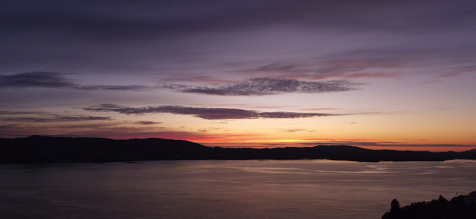
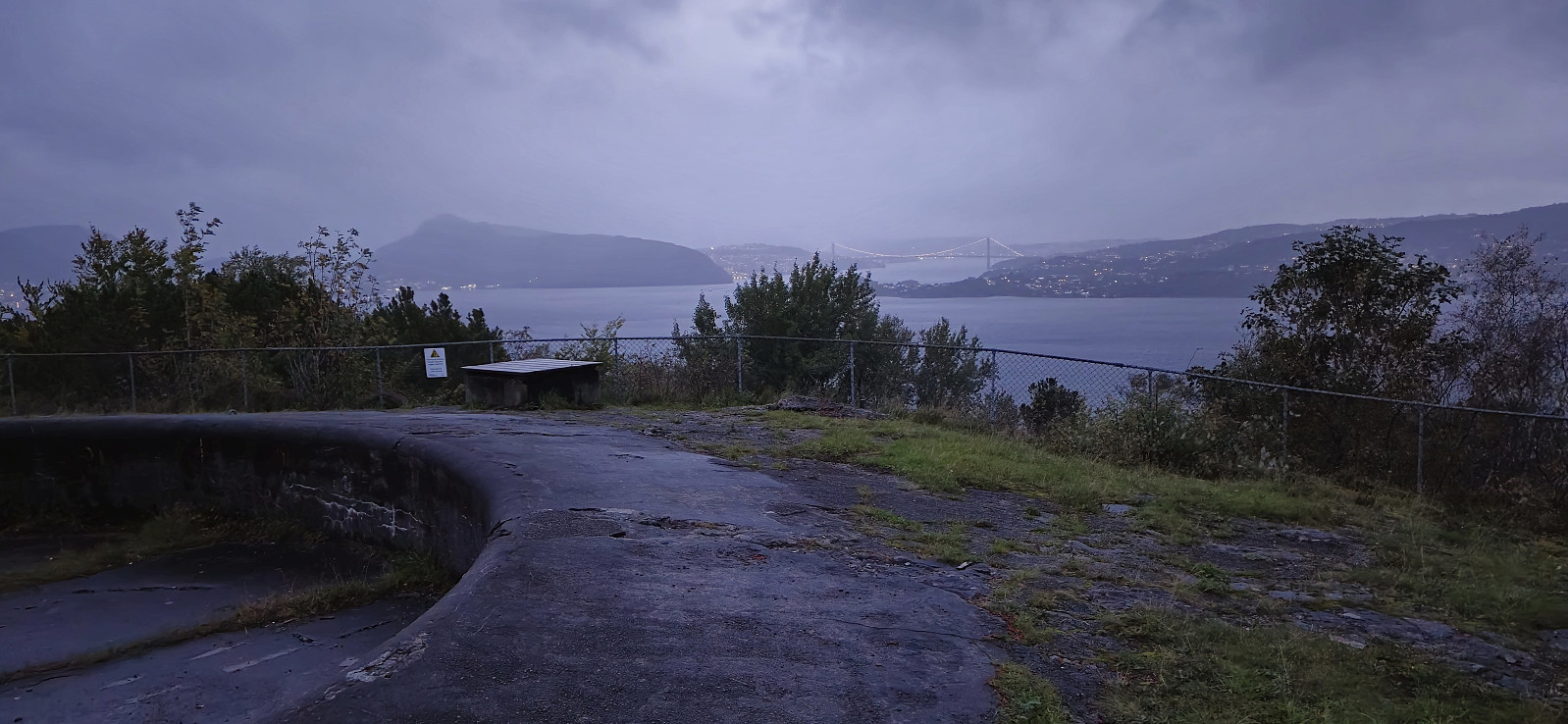 Short local evening hike in the rain.
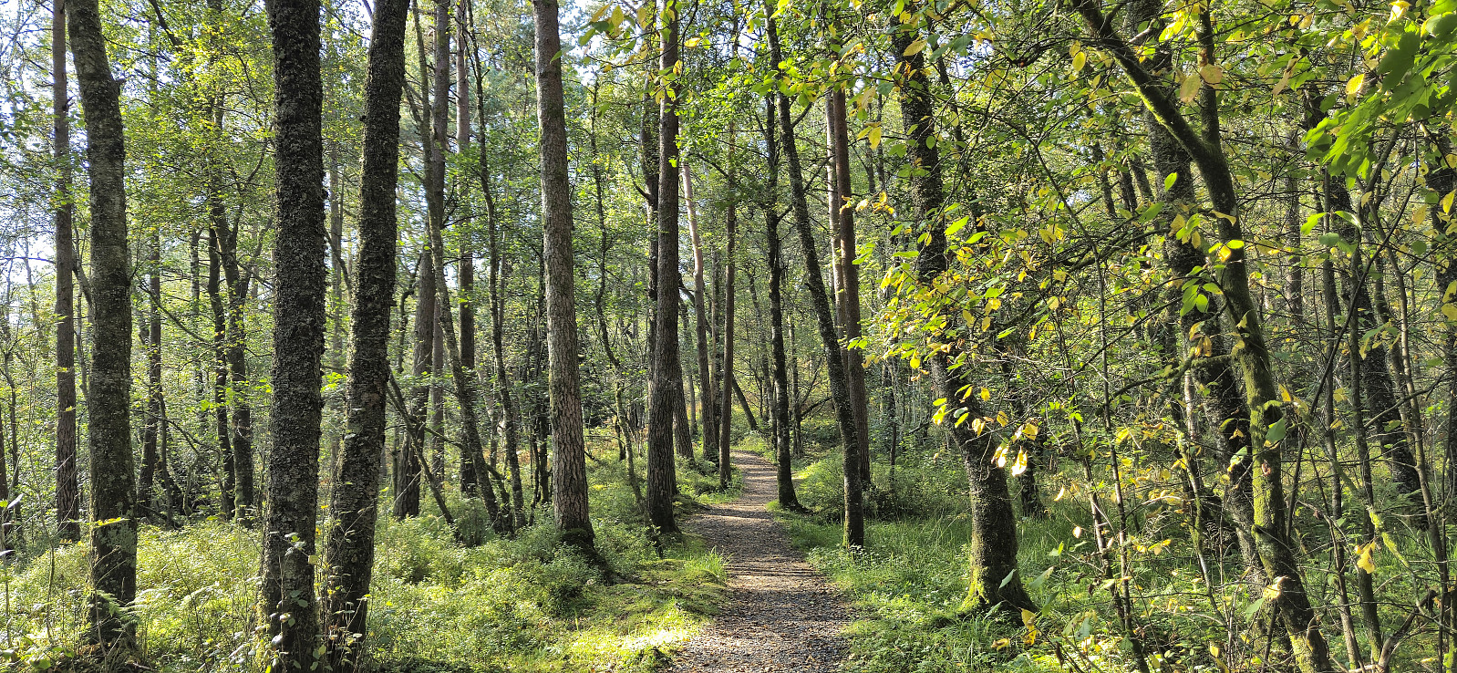
Hellemyrstien and Sandviksbatteriet
- Dato:
- 08.09.2024
- Turtype:
- Fottur
- Turlengde:
- 2:28t
- Distanse:
- 9,6km
 Local Sunday hike.
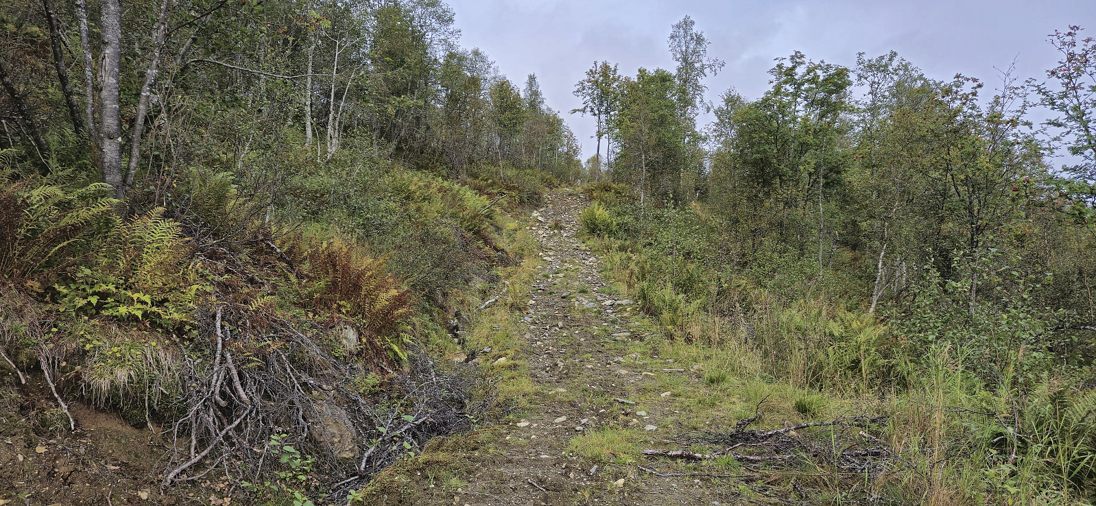
Skjerjavasshovden from Beinhellervatnet (alternative route)
- Dato:
- 07.09.2024
- Turtype:
- Fjelltur
- Turlengde:
- 5:45t
- Distanse:
- 13,5km
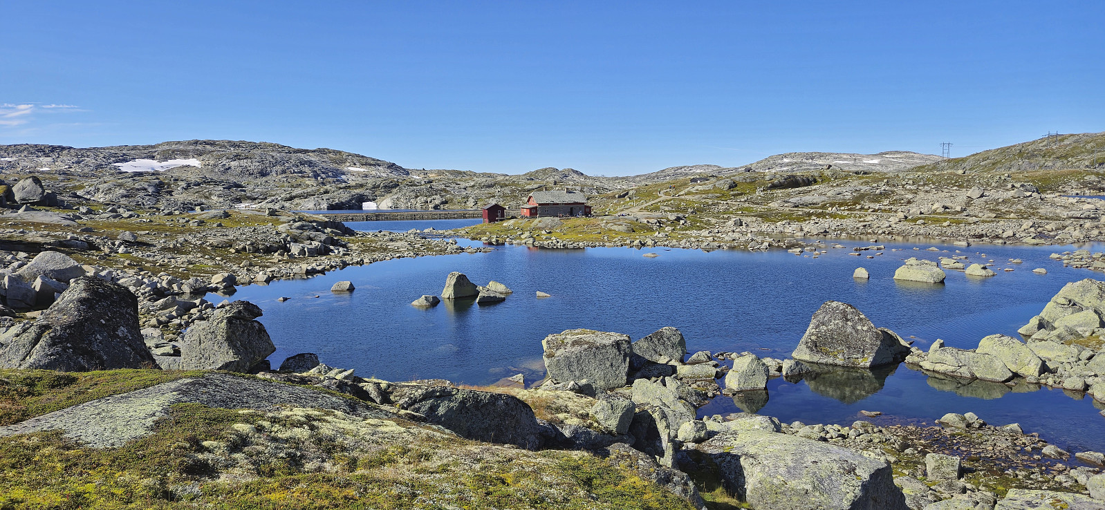
 Initially, I had other hiking plans this Saturday, but then Endre gave me an offer I simply could not refuse: a ride to Norddalen such that I could visit Skjerjavasshovden . He had already been to Skjerjavasshovden but was going to drive further up Norddalen and kayak across Skjerjavatnet to ascend Trollahorgi and Belaskarhorgi .
I was picked up at my place around nine for the drive to Eksingedalen. A trip that turned out a bit longer than necessary as shortly after passing Evanger we realized that we were running low on gas. To be on the safe side we therefore turned back and made an extended detour to Voss to fill the tank. Rather annoying given the numerous gas stations we had passed on our way from Bergen...
When finally arriving in Norddalen, Endre dropped me off next to Beinhellervatnet before he continued north to the parking lot at the northeastern end of Skjerjavatnet . I started my >>>
Initially, I had other hiking plans this Saturday, but then Endre gave me an offer I simply could not refuse: a ride to Norddalen such that I could visit Skjerjavasshovden . He had already been to Skjerjavasshovden but was going to drive further up Norddalen and kayak across Skjerjavatnet to ascend Trollahorgi and Belaskarhorgi .
I was picked up at my place around nine for the drive to Eksingedalen. A trip that turned out a bit longer than necessary as shortly after passing Evanger we realized that we were running low on gas. To be on the safe side we therefore turned back and made an extended detour to Voss to fill the tank. Rather annoying given the numerous gas stations we had passed on our way from Bergen...
When finally arriving in Norddalen, Endre dropped me off next to Beinhellervatnet before he continued north to the parking lot at the northeastern end of Skjerjavatnet . I started my >>>
Cycling: Nordåsvatnet + Grønhaugen and Ospåsen
- Dato:
- 05.09.2024
- Turtype:
- Blandet sykling
- Turlengde:
- 4:27t
- Distanse:
- 47,5km
 On the warmest September day in Bergen history (28.6 degrees), I took the last part of the day off for a cycling trip around Nordåsvatnet. The trip also included a minor detour to some small hills south of Indre Steinsvik ( Grønhaugen and Ospåsen). This turned out to be a very nice area with lots of narrow gravel paths (that one are not supposed to cycle on, something I only noticed when exiting the area). Not a lot of views from either of the two summits, which both had gravel paths all the way to the top, but there were wooden benches for a short rest.
Across Hellen festning
- Dato:
- 04.09.2024
- Turtype:
- Fottur
- Turlengde:
- 0:51t
- Distanse:
- 3,8km
 Short local evening hike.
Cycling: Rallarvegen and Austre Låghellerhøgdene
- Dato:
- 01.09.2024
- Turtype:
- Blandet sykling
- Turlengde:
- 4:59t
- Distanse:
- 40,7km
 To take full advantage the warm and sunny weather, I decided to combine a bike ride along Rallarvegen with a visit of Austre Låghellerhøgdene . I had rented a bike in advance which I picked up at Finse after arriving by train from Bergen. Shortly, I was on the bike and cycling northwest along the overall good quality gravel road.
After passing the highest point at Rallarvegen (at 1343 meters) I descended towards Fagernut . Just before getting to the cabin, I left the bike behind for a short off-trail hike to the summit of Austre Låghellerhøgdene. The ascent was straightforward, however finding the exact summit was more tricky with three minor hills to choose from. As usual, I simply visited all of them, before descending along more or less the same route.
Back on the bike, I made a short stop outside Fagernut before continuing on the gravel road to Hallingskeid. >>>
To take full advantage the warm and sunny weather, I decided to combine a bike ride along Rallarvegen with a visit of Austre Låghellerhøgdene . I had rented a bike in advance which I picked up at Finse after arriving by train from Bergen. Shortly, I was on the bike and cycling northwest along the overall good quality gravel road.
After passing the highest point at Rallarvegen (at 1343 meters) I descended towards Fagernut . Just before getting to the cabin, I left the bike behind for a short off-trail hike to the summit of Austre Låghellerhøgdene. The ascent was straightforward, however finding the exact summit was more tricky with three minor hills to choose from. As usual, I simply visited all of them, before descending along more or less the same route.
Back on the bike, I made a short stop outside Fagernut before continuing on the gravel road to Hallingskeid. >>>
