Arkiv - dato
Arkiv - aktivitet
-
Annen tur (3)
- Kajakkpadling (3)
- Fottur (1897)
-
Kjøretur (9)
- Biltur (9)
-
Skitur (116)
- Fjellskitur (69)
- Langrennstur (47)
-
Sykkeltur (111)
- Blandet sykling (25)
- Gatesykling (86)
Lister jeg samler etter
-
Utvalgte topper og turmål i Bergen
(349/351)
 99%
99% -
Alle topper i Bergen
(393/400)
98%
-
Voss ≥ 100m pf.
(96/98)
97%
-
Opptur Hordaland
(144/159)
90%
-
Stasjoner på Bergensbanen
(33/40)
82%
-
Ulvik ≥ 100m pf.
(30/38)
78%
-
Hordaland ≥ 100m pf.
(624/863)
72%
-
Mjølfjell PF > 100m
(21/31)
67%
-
Jondal ≥ 100m pf.
(15/23)
65%
-
Dagsturhyttene i Vestland
(36/61)
59%
-
Sunnhordland PF >= 100m
(105/186)
56%
-
Hordaland: Hardanger PF>=100m
(196/359)
54%
-
DNT-hytter i Hordaland
(23/45)
51%
-
Kvinnherad ≥ 100m pf.
(40/79)
50%
-
Eidfjord ≥ 100m pf.
(13/42)
30%
-
Sogndal ≥ 100m pf.
(23/81)
28%
-
Gulen ≥ 100m pf.
(15/54)
27%
-
Vik i Sogn ≥ 100m pf.
(10/46)
21%
-
Sogn - Sør for Sognefjorden PF>=100m
(31/159)
19%
-
DNT-hytter i Sogn og Fjordane
(8/47)
17%

Ørneberget
- Dato:
- 17.07.2024
- Turtype:
- Fjelltur
- Turlengde:
- 1:34t
- Distanse:
- 5,7km
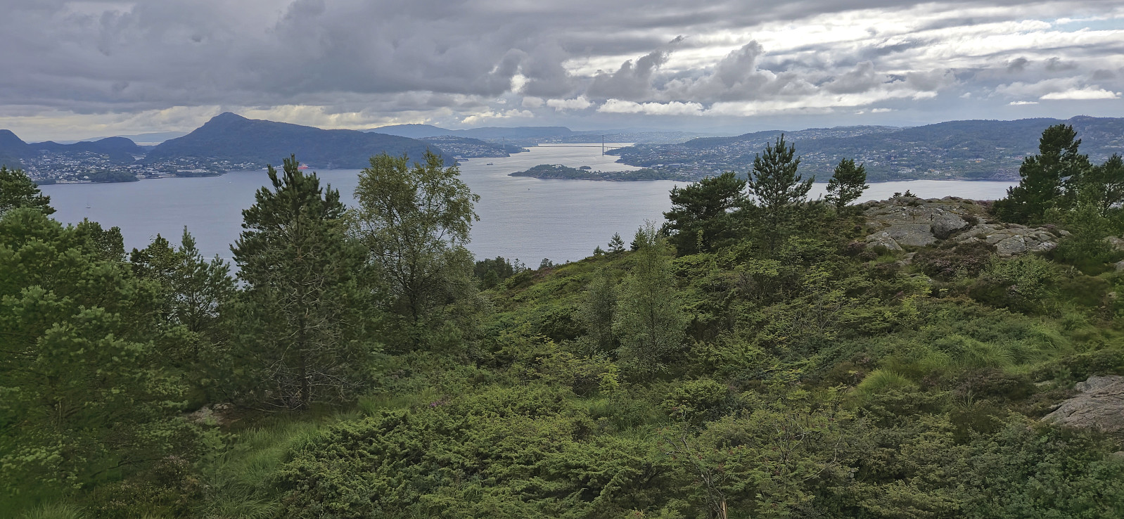 Short local afternoon hike.
Høghaugen and Frotveit søyle
- Dato:
- 16.07.2024
- Turtype:
- Fjelltur
- Turlengde:
- 2:06t
- Distanse:
- 7,5km
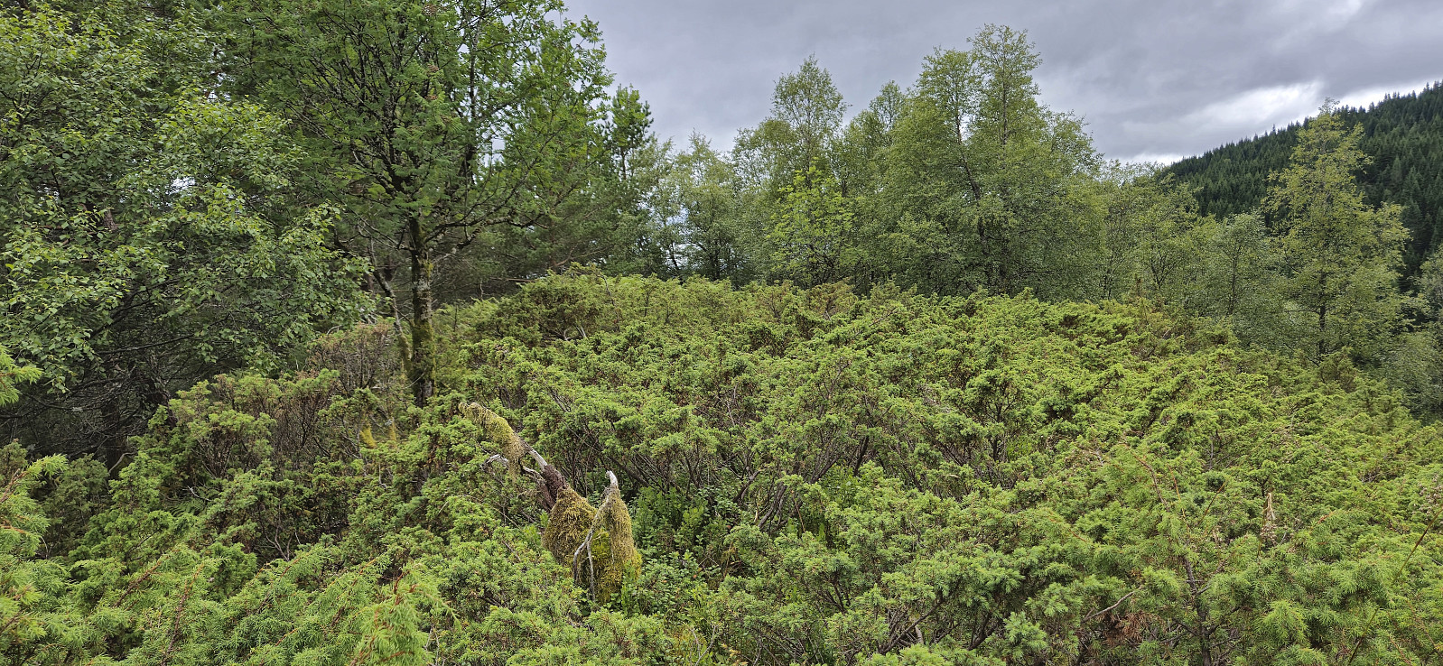 An afternoon hike to visit Høghaugen , another minor peak on the Alle topper i Bergen list . As a bonus I would get Frotveit søyle for free as it is located right next to the summit. I took the bus to "Frotveit snuplass" and briefly continued north along the road before crossing the river via an old stone bridge and following the same trail I had used when ascending Lundåsane in 2017 . I soon left this trail though and instead simply headed off-trail towards the highest point, which was reached without any issues. From the summit I could spot the trig marker and thus easily completed the final distance to Frotveit søyle. For the descent I tried a more direct shortcut back to the stone bridge but given the relatively steep terrain I probably did not save much, if any, time. The hike was concluded by taking the same route to Totland as for my hike to Lundåsane >>>
Cycling: Fantoft
- Dato:
- 15.07.2024
- Turtype:
- Gatesykling
- Turlengde:
- 2:17t
- Distanse:
- 28,6km
 Evening cycling trip exploring a couple of new roads in the area near Fantoft.
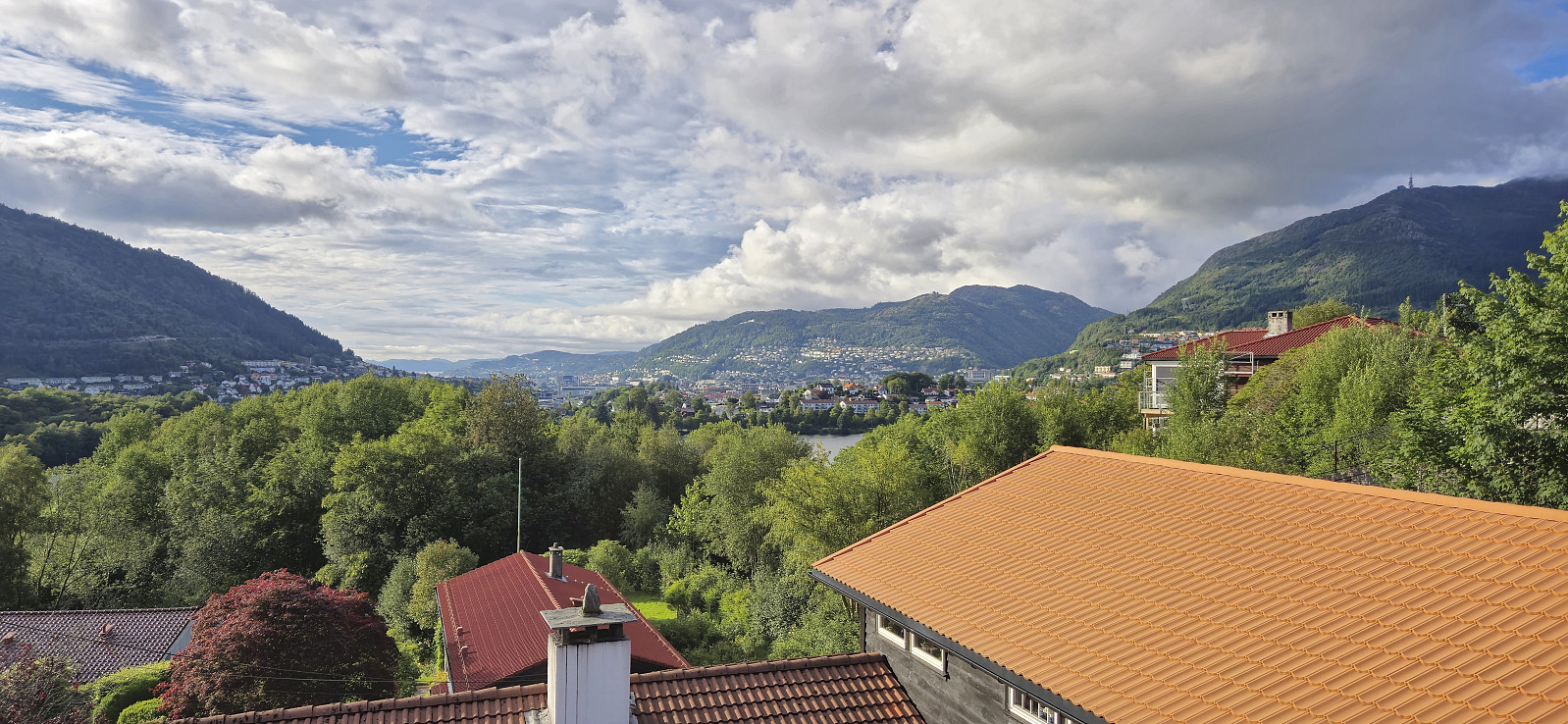
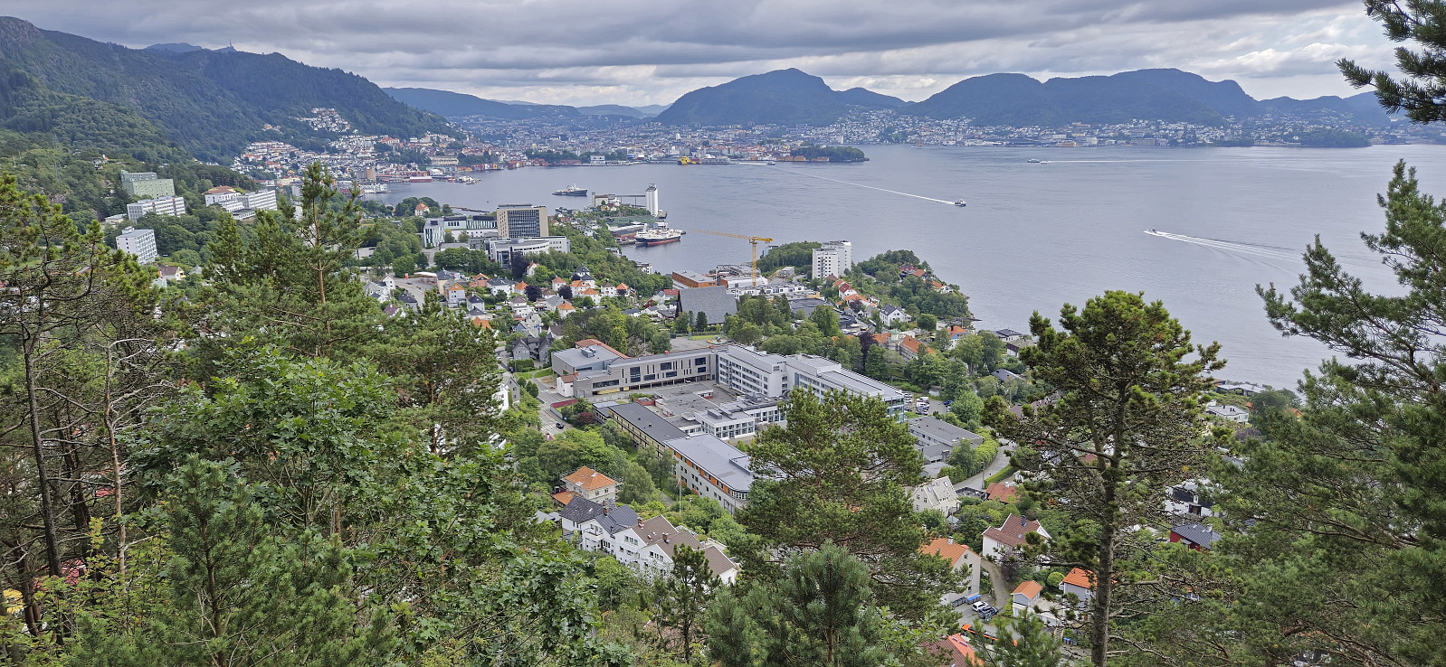
Across Hellen festning
- Dato:
- 14.07.2024
- Turtype:
- Fottur
- Turlengde:
- 0:39t
- Distanse:
- 3,2km
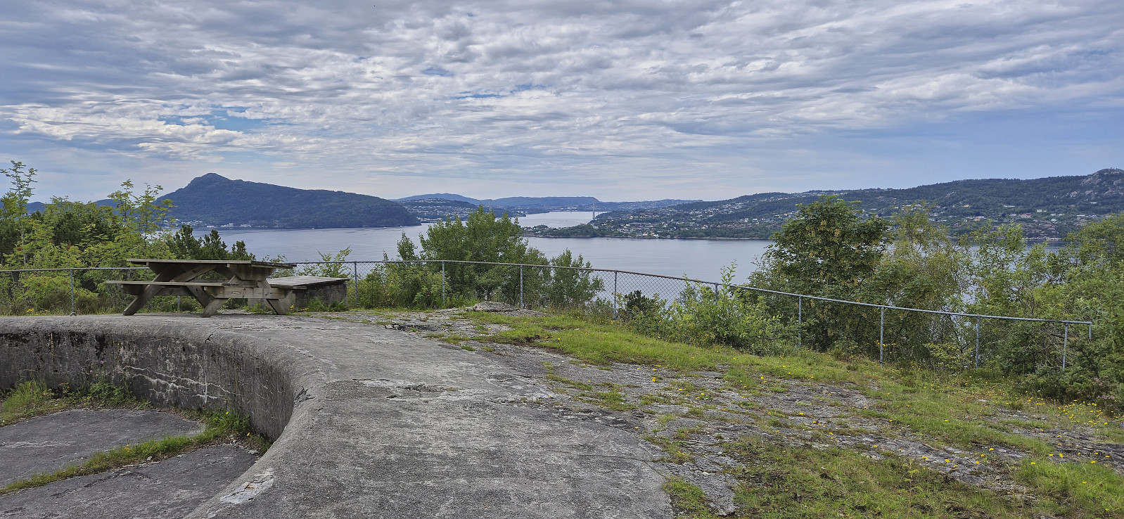 Short local Sunday hike after yesterday's long hike from Bergsdalen to Eikedalen .
Bergsdalen to Eikedalen
- Dato:
- 13.07.2024
- Turtype:
- Fjelltur
- Turlengde:
- 9:11t
- Distanse:
- 29,2km
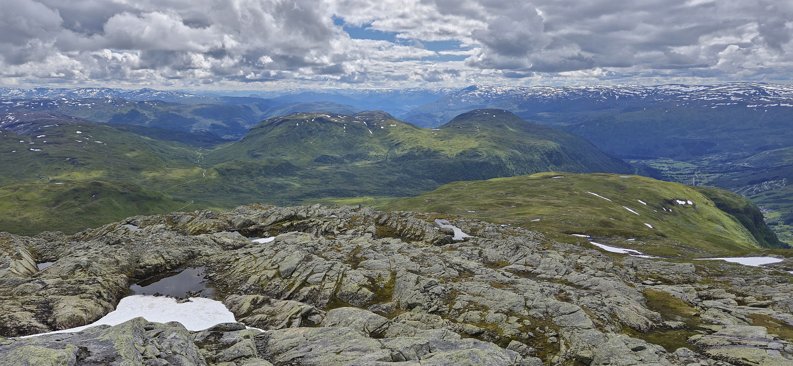
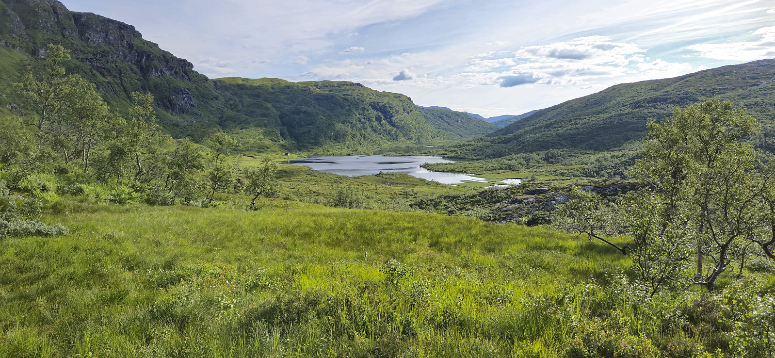 For the second Saturday in a row I took the train to Dale and the bus to Bergsdalen, but where I last week walked north to Evanger , this time I was heading south to Eikedalen. I got off the bus at the start of the road to Raunehaugen where I soon located the unmarked trailhead for Kjerringafjellet . The trail quality varied quite a lot and except for small cairns (mainly) towards the end it was unmarked. At several points I therefore had to check the GPS to make sure I was heading the right way. Near the summit there was also a boulder obstacle course that had to be traversed. The summit provided great views and a nice location for a short lunch break.
In order to next go to Storliknausen I first returned north towards Såta before carefully navigating my way down to the valley between Kjerringafjellet and Storliknausen. This was overall straightforward, >>>
For the second Saturday in a row I took the train to Dale and the bus to Bergsdalen, but where I last week walked north to Evanger , this time I was heading south to Eikedalen. I got off the bus at the start of the road to Raunehaugen where I soon located the unmarked trailhead for Kjerringafjellet . The trail quality varied quite a lot and except for small cairns (mainly) towards the end it was unmarked. At several points I therefore had to check the GPS to make sure I was heading the right way. Near the summit there was also a boulder obstacle course that had to be traversed. The summit provided great views and a nice location for a short lunch break.
In order to next go to Storliknausen I first returned north towards Såta before carefully navigating my way down to the valley between Kjerringafjellet and Storliknausen. This was overall straightforward, >>>
Hellen festning and Furukammen
- Dato:
- 12.07.2024
- Turtype:
- Fottur
- Turlengde:
- 1:11t
- Distanse:
- 4,9km
 Short local afternoon hike.
Ulvvatnet
- Dato:
- 11.07.2024
- Turtype:
- Fjelltur
- Turlengde:
- 1:22t
- Distanse:
- 4,8km
 Yet another trip to a minor peak on the Alle topper i Bergen list , this time to Nord for Ulvvatnet . I got off at the bus stop "Samdal sag" and briefly continued northeast along the main road before turning right and following a tractor road to Ulvvatnet. From there I headed off-trail to the summit. The ascent was very wet from the unexpected rain shower from the start of the hike but otherwise straightforward. Very limited views. I descended via deer tracks that disappeared towards the end. The hike was concluded by walking around Ulvvatnet and then returning to the bus stop. Note that while the lake has a tractor road on the west side, the east side only has a wet trail at best, so don't expect to keep your feet dry.
Across Hellen festning
- Dato:
- 10.07.2024
- Turtype:
- Fottur
- Turlengde:
- 0:39t
- Distanse:
- 3,2km
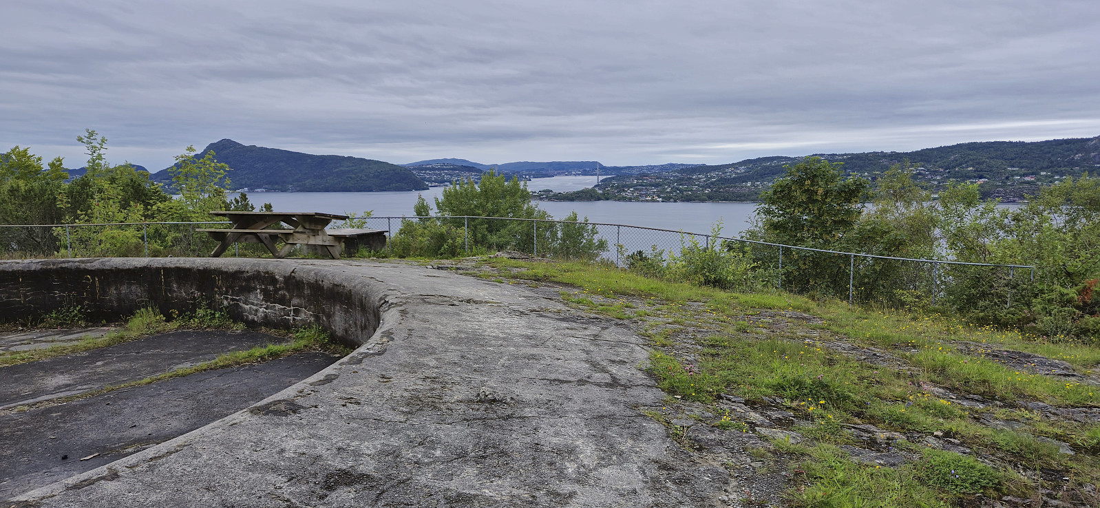 Short local hike before the evening rain showers started.
Bjørndalskamben and Sollifjellet
- Dato:
- 09.07.2024
- Turtype:
- Fjelltur
- Turlengde:
- 6:53t
- Distanse:
- 18,3km
 I was lucky to hitch a ride to Kvassdalen and was dropped off next to the unmarked trailhead for Bjørndalen . The first part of the ascent looked very steep but thanks to earlier trip reports, e.g. Arnt 's external trip report , I was pretty sure that it would be ok. As expected, the trail was steep but did not present any real challenges, although it may not be for everyone due to a couple of semi-exposed sections.
After the initial steep ascent, the terrain levelled off and I followed a nice trail along the river to Bjørndalen for the first look at Bjørndalskamben . The trail continued south, I however made a detour for better views into Kvassdalen. Upon reconnecting with the trail I did not stay on it for long and instead followed various sheep tracks. There were occasional cairns but no trail as far as I could tell. Closer to the summit, >>>
I was lucky to hitch a ride to Kvassdalen and was dropped off next to the unmarked trailhead for Bjørndalen . The first part of the ascent looked very steep but thanks to earlier trip reports, e.g. Arnt 's external trip report , I was pretty sure that it would be ok. As expected, the trail was steep but did not present any real challenges, although it may not be for everyone due to a couple of semi-exposed sections.
After the initial steep ascent, the terrain levelled off and I followed a nice trail along the river to Bjørndalen for the first look at Bjørndalskamben . The trail continued south, I however made a detour for better views into Kvassdalen. Upon reconnecting with the trail I did not stay on it for long and instead followed various sheep tracks. There were occasional cairns but no trail as far as I could tell. Closer to the summit, >>>
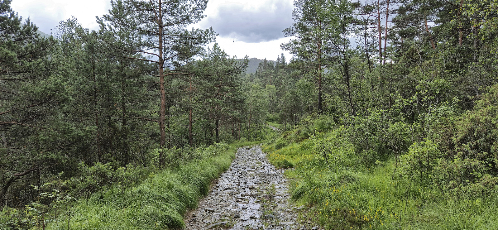
Fjellveien
- Dato:
- 07.07.2024
- Turtype:
- Fottur
- Turlengde:
- 1:23t
- Distanse:
- 7,2km
 Local Sunday hike in occasional light rain.
