Archive - Date
Archive - Activity
-
Bike trip (111)
- Bike trip - mixed (25)
- Bike trip - road (86)
-
Drive (9)
- Car drive (9)
-
Other trip (3)
- Kayaking (3)
-
Ski trip (116)
- Backcountry skiing (69)
- Cross-country skiing (47)
- Trip by foot (1897)
Collected lists
-
Utvalgte topper og turmål i Bergen
(349/351)
 99%
99% -
Alle topper i Bergen
(393/400)
98%
-
Voss ≥ 100m pf.
(96/98)
97%
-
Opptur Hordaland
(144/159)
90%
-
Stasjoner på Bergensbanen
(33/40)
82%
-
Ulvik ≥ 100m pf.
(30/38)
78%
-
Hordaland ≥ 100m pf.
(624/863)
72%
-
Mjølfjell PF > 100m
(21/31)
67%
-
Jondal ≥ 100m pf.
(15/23)
65%
-
Dagsturhyttene i Vestland
(36/61)
59%
-
Sunnhordland PF >= 100m
(105/186)
56%
-
Hordaland: Hardanger PF>=100m
(196/359)
54%
-
DNT-hytter i Hordaland
(23/45)
51%
-
Kvinnherad ≥ 100m pf.
(40/79)
50%
-
Eidfjord ≥ 100m pf.
(13/42)
30%
-
Sogndal ≥ 100m pf.
(23/81)
28%
-
Gulen ≥ 100m pf.
(15/54)
27%
-
Vik i Sogn ≥ 100m pf.
(10/46)
21%
-
Sogn - Sør for Sognefjorden PF>=100m
(31/159)
19%
-
DNT-hytter i Sogn og Fjordane
(8/47)
17%

Karaldenuten roundtrip from Rong
- Date:
- 30.06.2024
- Characteristic:
- Hillwalk
- Duration:
- 6:07h
- Distance:
- 12.5km
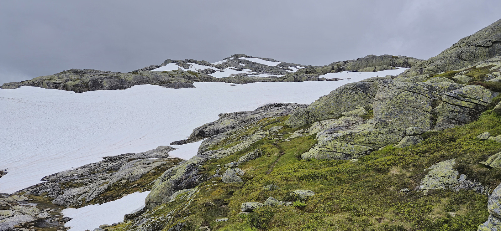 Sunday hike to Karaldenuten organized by Voss Utferdslag . I started by taking the train to Voss where I met up with the others for the short carpool to Rong. Here we parked next to the road south of Rongastovo just after the road forked for Haugamoen. This was also where we met up with the local guide and after a quick overview of the hike we began our ascent along the gravel road towards Grungavatnet.
The gravel road turned into a wet trail before we arrived at the northern end of the lake for the first (and the only real) river crossing of the day. A rope had been put up to simplify the crossing and thus we all made it to the other side almost without getting wet.
A steep but relatively short section followed before the terrain turned less steep. There was a marked trail all the way to the summit, although the markers, a combination >>>
Sunday hike to Karaldenuten organized by Voss Utferdslag . I started by taking the train to Voss where I met up with the others for the short carpool to Rong. Here we parked next to the road south of Rongastovo just after the road forked for Haugamoen. This was also where we met up with the local guide and after a quick overview of the hike we began our ascent along the gravel road towards Grungavatnet.
The gravel road turned into a wet trail before we arrived at the northern end of the lake for the first (and the only real) river crossing of the day. A rope had been put up to simplify the crossing and thus we all made it to the other side almost without getting wet.
A steep but relatively short section followed before the terrain turned less steep. There was a marked trail all the way to the summit, although the markers, a combination >>>
Vollane
- Date:
- 29.06.2024
- Characteristic:
- Hike
- Duration:
- 1:49h
- Distance:
- 7.4km
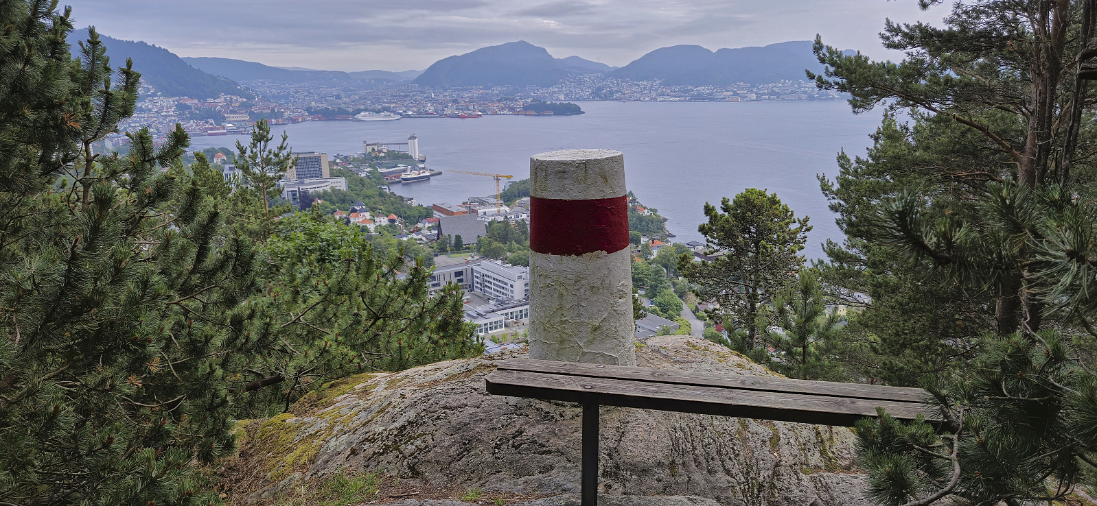
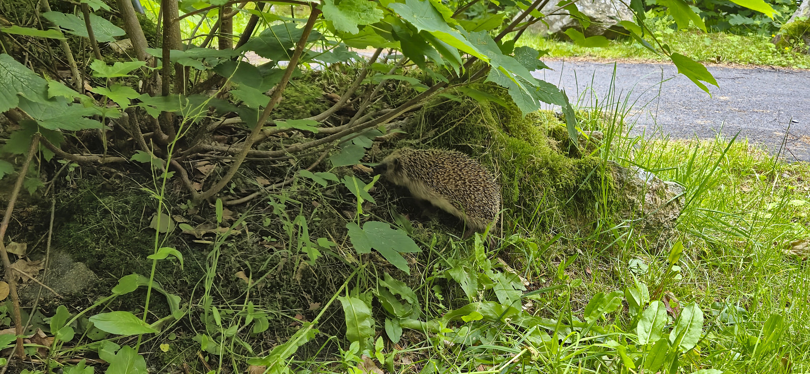
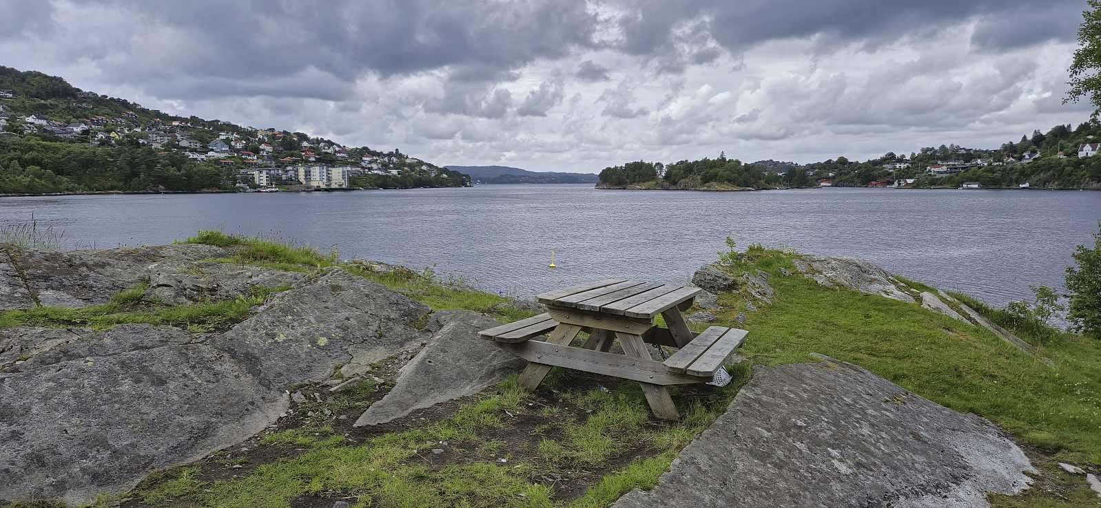 A short hike to explore Vollane in between the rain showers. The area was completely empty today but instead patrolled by a handful of seagulls doing their best to get me to leave. After the quick visit I followed various roads on my way home to Lønborg, including an ascent of Ørneberget NV .
Across Hellen festning
- Date:
- 27.06.2024
- Characteristic:
- Hike
- Duration:
- 0:39h
- Distance:
- 3.2km
 Short local evening hike.
Sveningen from Øvredalen to Midsætret
- Date:
- 26.06.2024
- Characteristic:
- Hillwalk
- Duration:
- 6:43h
- Distance:
- 15.8km
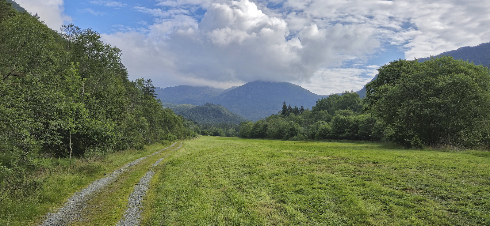 Ever since a dense fog hid all of the views during our previous visit of Sveningen , I had had plans of repeating the hike under better conditions. Today, seven years later, the day had finally arrived. Once more I managed to convince a couple of colleagues to join but unlike last time we arrived in two cars, allowing us to leave one car at Midsætret p-plass and thus enabling us to skip the rather boring almost 5 km walk back to Øvredalen parkering at the end of the hike.
After parking the second car at Øvredalen parkering, we followed the standard route to the top of Sveningen. Here we had a short lunch break before heading south along the ridge towards Midsætret. Along the way I made short detours on my own to the summits of Drogegjeltoppen and Søtefjellet NV , plus an attempt to locate a trig marker at Sauskolten , of which I only found traces of the supporting metal structure. Upon returning to the car at Midsætret p-plass, we car-pooled >>>
Ever since a dense fog hid all of the views during our previous visit of Sveningen , I had had plans of repeating the hike under better conditions. Today, seven years later, the day had finally arrived. Once more I managed to convince a couple of colleagues to join but unlike last time we arrived in two cars, allowing us to leave one car at Midsætret p-plass and thus enabling us to skip the rather boring almost 5 km walk back to Øvredalen parkering at the end of the hike.
After parking the second car at Øvredalen parkering, we followed the standard route to the top of Sveningen. Here we had a short lunch break before heading south along the ridge towards Midsætret. Along the way I made short detours on my own to the summits of Drogegjeltoppen and Søtefjellet NV , plus an attempt to locate a trig marker at Sauskolten , of which I only found traces of the supporting metal structure. Upon returning to the car at Midsætret p-plass, we car-pooled >>>
Hellen festning and Furukammen
- Date:
- 25.06.2024
- Characteristic:
- Hike
- Duration:
- 0:58h
- Distance:
- 4.5km
 Short local evening hike.
Munthemarki Rundt
- Date:
- 23.06.2024
- Characteristic:
- Hillwalk
- Duration:
- 4:10h
- Distance:
- 11.5km
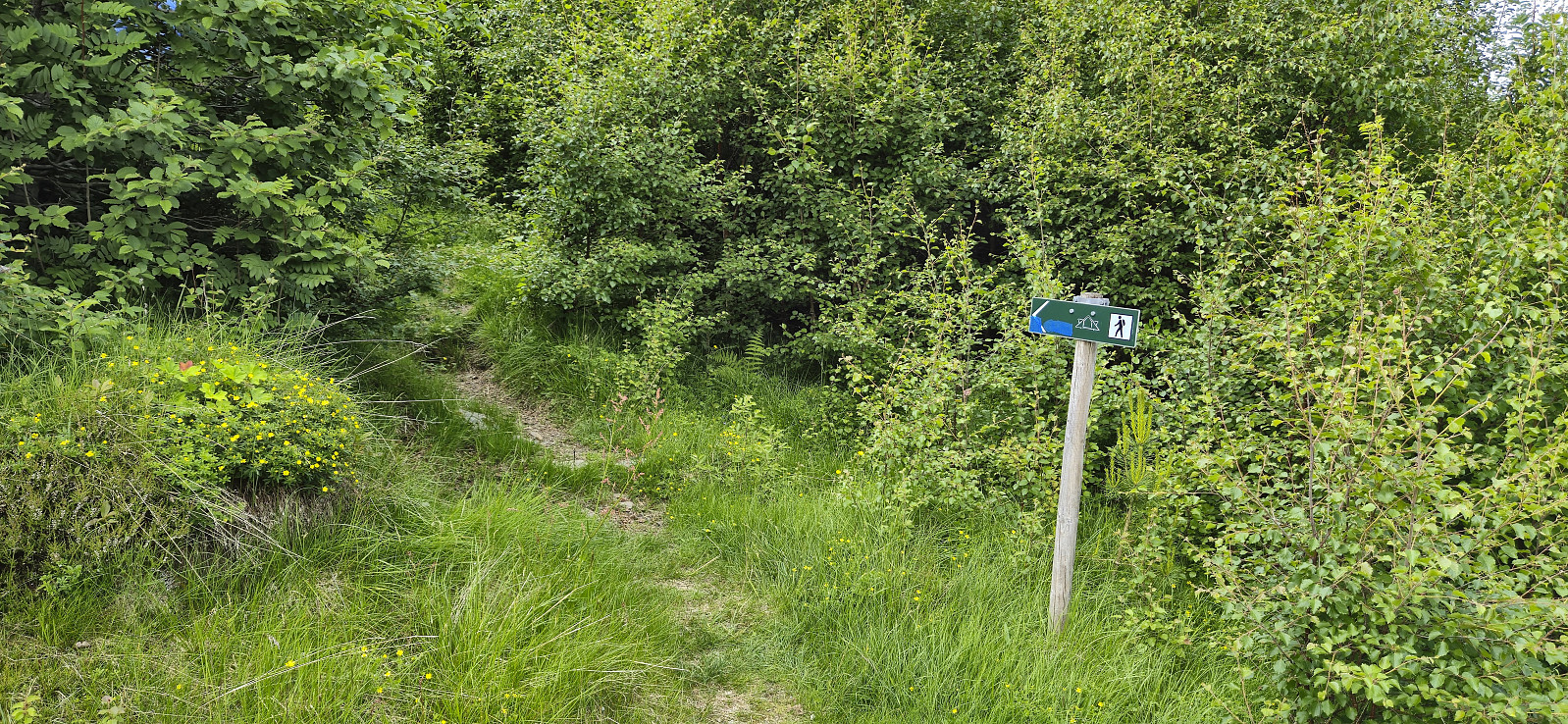
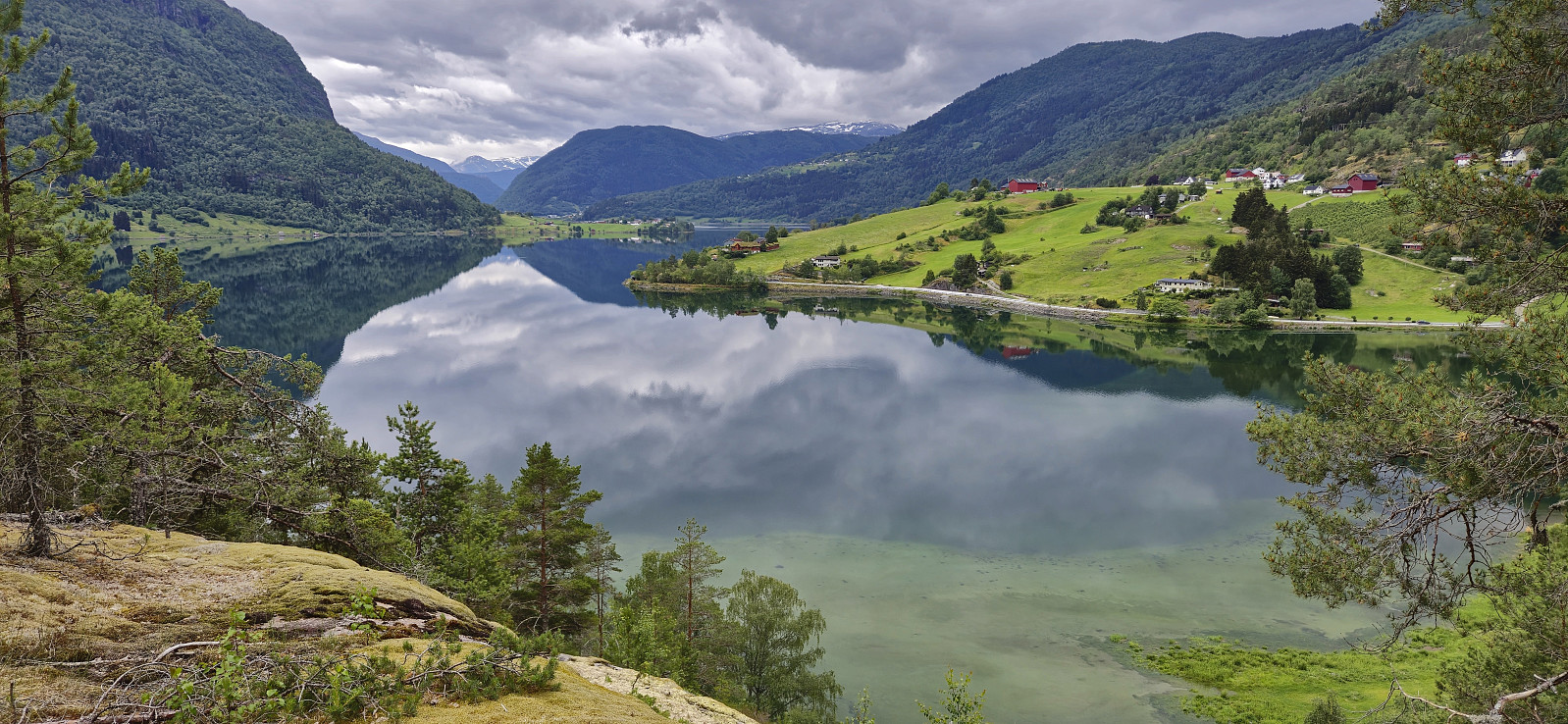 Sunday hike trying out the relatively recently marked route referred to as Munthemarki Rundt . We started from the private parking lot at the end of Barsnesfjorden and at first followed the standard route towards Helgasete . At Kabrettekleiv we however left the main trail and instead followed the signs for "Munthemarki Rundt".
The trail was overall easy to follow. We soon arrived at Årøy where we briefly followed Kongevegen in the direction of Hafslovatnet before heading south on a tractor road that turned into a nice trail taking us to the excellent views at Ormaskori .
After a short break we continued via Galtastegen to more spectacular views at Romnaholten . From there we passed via Dal to connect with the standard trail back to the private parking lot.
To conclude, a great hike with spectacular views that can be highly recommended.
Note that the road >>>
Sunday hike trying out the relatively recently marked route referred to as Munthemarki Rundt . We started from the private parking lot at the end of Barsnesfjorden and at first followed the standard route towards Helgasete . At Kabrettekleiv we however left the main trail and instead followed the signs for "Munthemarki Rundt".
The trail was overall easy to follow. We soon arrived at Årøy where we briefly followed Kongevegen in the direction of Hafslovatnet before heading south on a tractor road that turned into a nice trail taking us to the excellent views at Ormaskori .
After a short break we continued via Galtastegen to more spectacular views at Romnaholten . From there we passed via Dal to connect with the standard trail back to the private parking lot.
To conclude, a great hike with spectacular views that can be highly recommended.
Note that the road >>>
Barsnesfjorden
- Date:
- 22.06.2024
- Characteristic:
- Hike
- Duration:
- 1:02h
- Distance:
- 4.4km
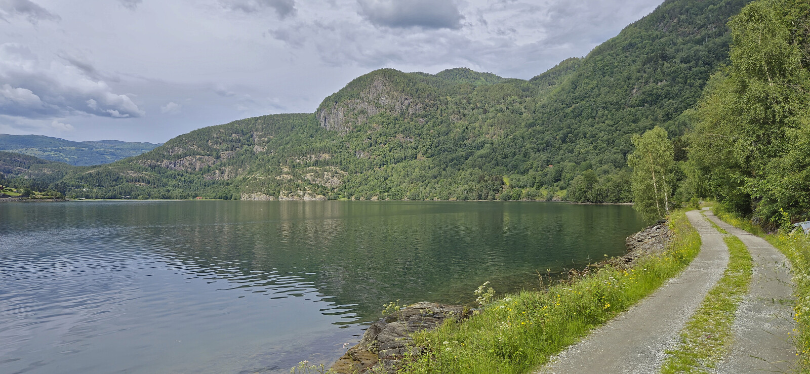 Afternoon walk along Barsnesfjorden.
(Note that the road this hike follows is private, i.e. no cars allowed.)
Afternoon walk along Barsnesfjorden.
(Note that the road this hike follows is private, i.e. no cars allowed.)
Liabu from Vik Skisenter
- Date:
- 21.06.2024
- Characteristic:
- Hillwalk
- Duration:
- 1:28h
- Distance:
- 5.0km
 A short stop in Vik to visit Liabu when driving from Bergen to Sogndal to celebrate my parent's 50th wedding anniversary. We parked at the designated parking lot at Vik Skisenter and followed the marked route. First via Vik Fjellandsby and then along a marked trail to the cabin.
Across Hellen festning
- Date:
- 19.06.2024
- Characteristic:
- Hike
- Duration:
- 0:36h
- Distance:
- 3.1km
 Short local evening hike after a long day at work.
Steinfjellet (almost...)
- Date:
- 16.06.2024
- Characteristic:
- Hillwalk
- Duration:
- 2:23h
- Distance:
- 5.5km
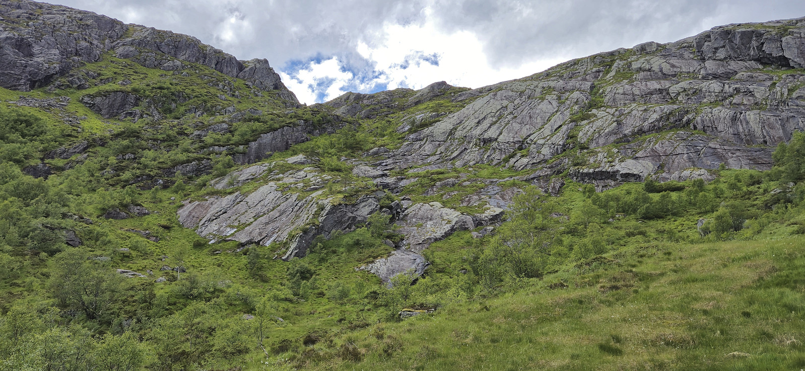 On the way home from a weekend in Myrkdalen we stopped at Gullbotn for a quick ascent of Steinfjellet . This however turned out more complicated than expected and was abandoned less than 250 meters from the summit. The reason being a steep area that we did not want to attempt climbing, especially given the wet conditions. We probably could have found an alternative route, but given that this was only going to be a short hike, we instead returned to the car, leaving the final ascent for another day.
