Arkiv - dato
Arkiv - aktivitet
-
Annen tur (3)
- Kajakkpadling (3)
- Fottur (1897)
-
Kjøretur (9)
- Biltur (9)
-
Skitur (116)
- Fjellskitur (69)
- Langrennstur (47)
-
Sykkeltur (111)
- Blandet sykling (25)
- Gatesykling (86)
Lister jeg samler etter
-
Utvalgte topper og turmål i Bergen
(349/351)
 99%
99% -
Alle topper i Bergen
(393/400)
98%
-
Voss ≥ 100m pf.
(96/98)
97%
-
Opptur Hordaland
(144/159)
90%
-
Stasjoner på Bergensbanen
(33/40)
82%
-
Ulvik ≥ 100m pf.
(30/38)
78%
-
Hordaland ≥ 100m pf.
(624/863)
72%
-
Mjølfjell PF > 100m
(21/31)
67%
-
Jondal ≥ 100m pf.
(15/23)
65%
-
Dagsturhyttene i Vestland
(36/61)
59%
-
Sunnhordland PF >= 100m
(105/186)
56%
-
Hordaland: Hardanger PF>=100m
(196/359)
54%
-
DNT-hytter i Hordaland
(23/45)
51%
-
Kvinnherad ≥ 100m pf.
(40/79)
50%
-
Eidfjord ≥ 100m pf.
(13/42)
30%
-
Sogndal ≥ 100m pf.
(23/81)
28%
-
Gulen ≥ 100m pf.
(15/54)
27%
-
Vik i Sogn ≥ 100m pf.
(10/46)
21%
-
Sogn - Sør for Sognefjorden PF>=100m
(31/159)
19%
-
DNT-hytter i Sogn og Fjordane
(8/47)
17%

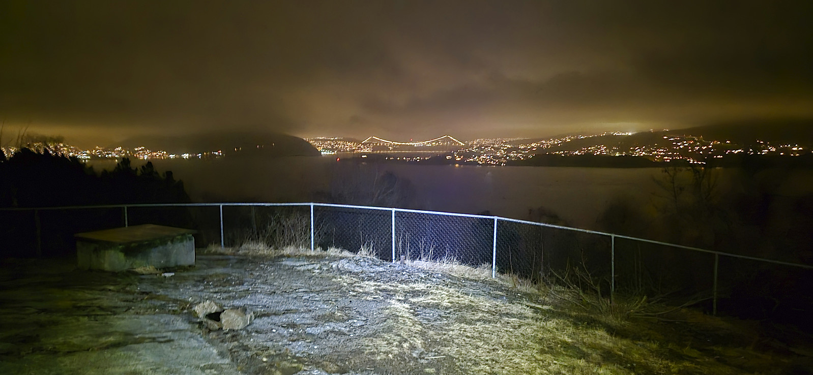
Across Hellen festning
- Dato:
- 31.03.2024
- Turtype:
- Fottur
- Turlengde:
- 0:39t
- Distanse:
- 3,2km
 Short local evening hike back in Bergen after spending the last couple of days knocked out by a stomach flu.
Britabu Easter Barbecue 2024
- Dato:
- 28.03.2024
- Turtype:
- Langrennstur
- Turlengde:
- 3:03t
- Distanse:
- 9,5km
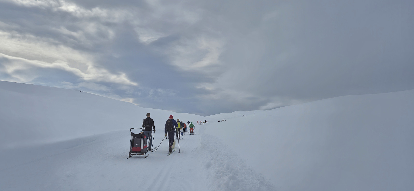 Attending the traditional Easter barbecue at Britabu . The weather was however sadly not the best, with poor visibility during the descent.
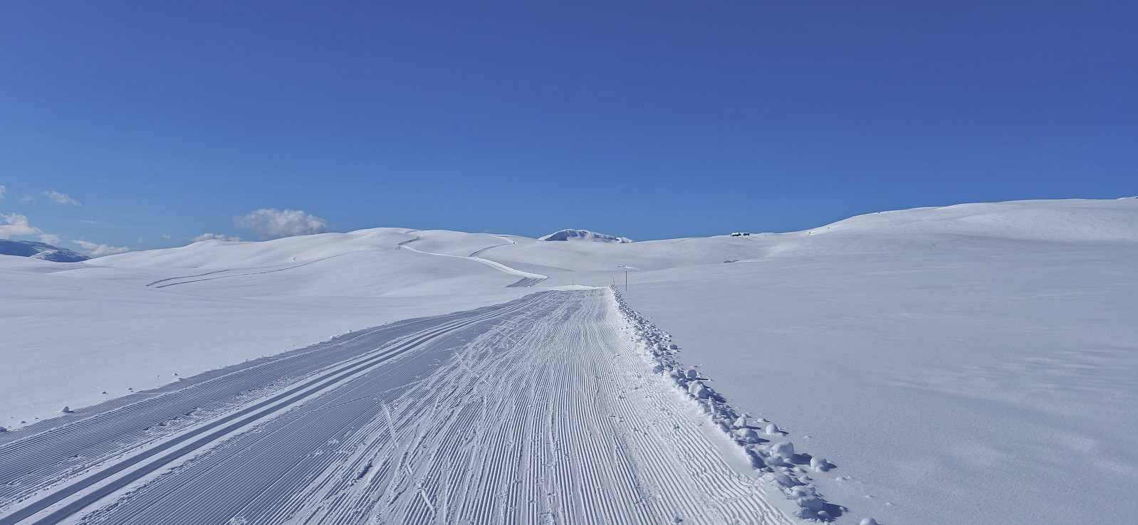
Around Fjærlandssetvatnet
- Dato:
- 25.03.2024
- Turtype:
- Langrennstur
- Turlengde:
- 3:38t
- Distanse:
- 16,0km
 The standard skiing trip around Fjærlandssetvatnet starting from Rindabotn .
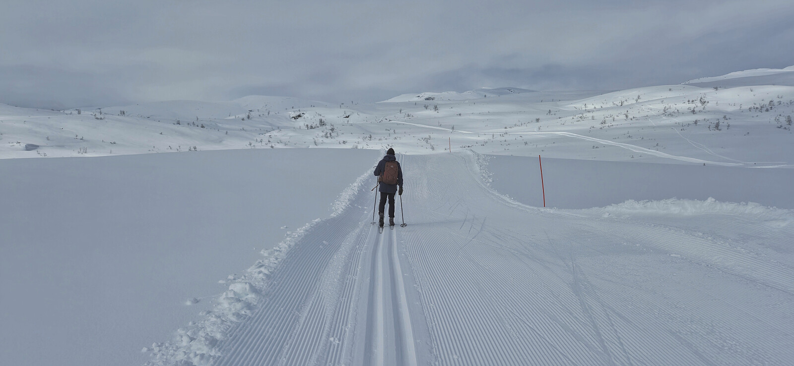
Britastein and Høgehaug
- Dato:
- 24.03.2024
- Turtype:
- Langrennstur
- Turlengde:
- 2:21t
- Distanse:
- 10,1km
 My initial plan to visit the highest point of Myrdalsbreen was abandoned at the small hill called Britastein just west of Britabu due to the snow conditions being tougher than expected and the snow starting to build up underneath my climbing skins.
Barsnesfjorden
- Dato:
- 23.03.2024
- Turtype:
- Fottur
- Turlengde:
- 1:03t
- Distanse:
- 4,8km
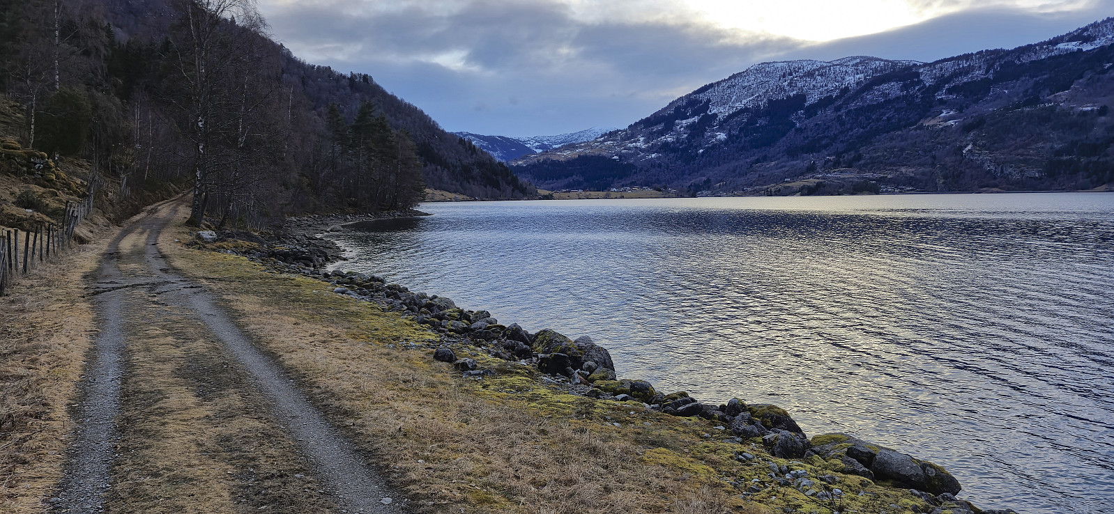 Short evening walk along Barsnesfjorden after the drive from Bergen to Sogndal.
(Note that the road this hike follows is private, i.e. no cars allowed.)
Short evening walk along Barsnesfjorden after the drive from Bergen to Sogndal.
(Note that the road this hike follows is private, i.e. no cars allowed.)
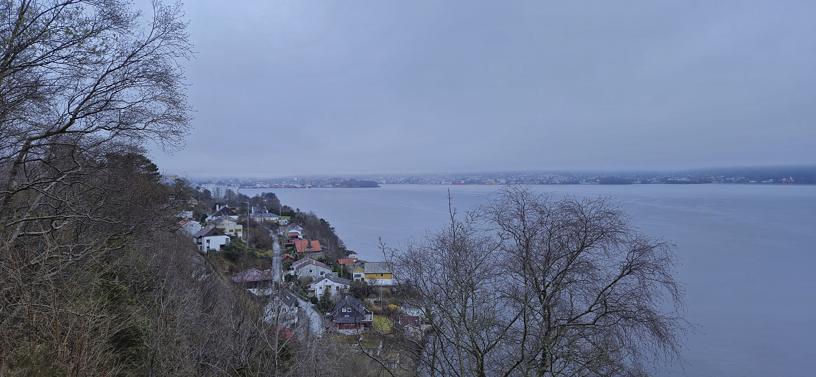
Ørneberget and Hellen festning
- Dato:
- 20.03.2024
- Turtype:
- Fottur
- Turlengde:
- 0:54t
- Distanse:
- 4,0km
 Short local evening hike after work.
Fjellveien
- Dato:
- 17.03.2024
- Turtype:
- Fottur
- Turlengde:
- 1:29t
- Distanse:
- 7,3km
 Local Sunday hike after spending all of Saturday skiing with Endre in Ulvik .
Midtfjell from Sjusete
- Dato:
- 16.03.2024
- Turtype:
- Fjellskitur
- Turlengde:
- 5:00t
- Distanse:
- 13,3km
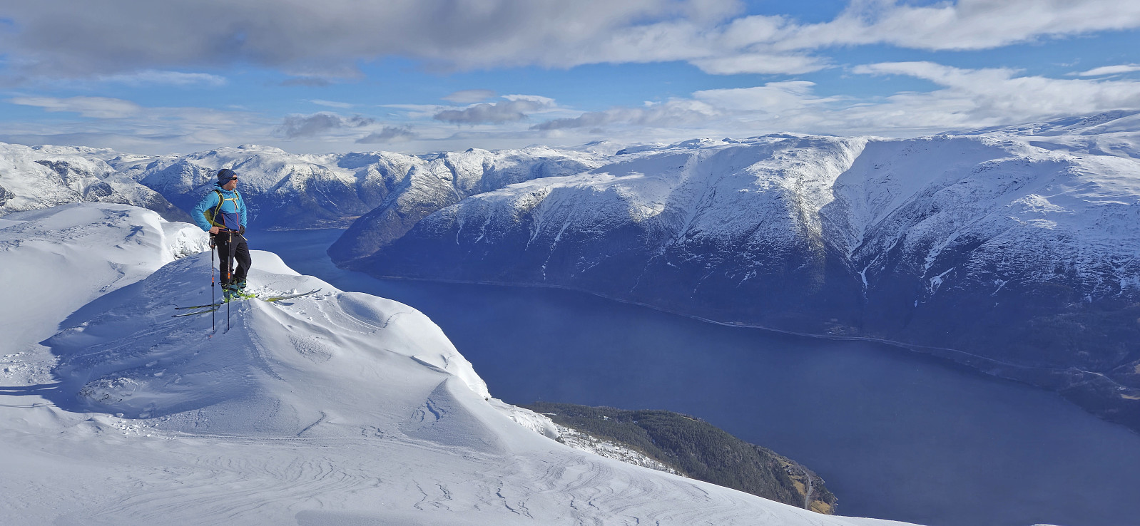 Inspired by an external trip report at tinderangel.no describing what looked like a very nice skiing trip from Sjusete to Midtfjell , Endre and I once more drove from Bergen in the direction of Voss but this time headed for Ulvik and the winter parking lot at Sjusete . As we approached the center of Ulvik we left the main road and instead followed a narrow gravel road southwest up from Vambheim. This included passing through an open gate just north of Gjerdet, but whether this gate is always open remains unknown.
Done with this one potential hurdle we continued up to the parking lot at Sjusete, noticing that the gravel road was rather icy towards the end but hoping that this would improve before the descent later in the day. Plenty of space at the parking lot, in fact we were the only car and, expect for coming across a fresh scooter trail during the descent, we did not see any >>>
Inspired by an external trip report at tinderangel.no describing what looked like a very nice skiing trip from Sjusete to Midtfjell , Endre and I once more drove from Bergen in the direction of Voss but this time headed for Ulvik and the winter parking lot at Sjusete . As we approached the center of Ulvik we left the main road and instead followed a narrow gravel road southwest up from Vambheim. This included passing through an open gate just north of Gjerdet, but whether this gate is always open remains unknown.
Done with this one potential hurdle we continued up to the parking lot at Sjusete, noticing that the gravel road was rather icy towards the end but hoping that this would improve before the descent later in the day. Plenty of space at the parking lot, in fact we were the only car and, expect for coming across a fresh scooter trail during the descent, we did not see any >>>
Across Hellen festning
- Dato:
- 14.03.2024
- Turtype:
- Fottur
- Turlengde:
- 0:36t
- Distanse:
- 3,2km
 Short local evening hike.
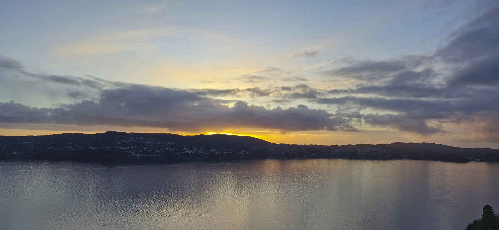
Helleneset
- Dato:
- 10.03.2024
- Turtype:
- Spasertur
- Turlengde:
- 0:43t
- Distanse:
- 2,6km
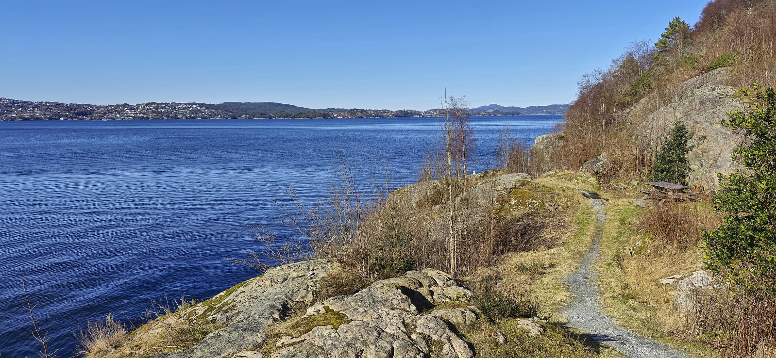 Short local walk after spending all of yesterday skiing at Voss .
