Archive - Date
Archive - Activity
-
Bike trip (111)
- Bike trip - mixed (25)
- Bike trip - road (86)
-
Drive (9)
- Car drive (9)
-
Other trip (3)
- Kayaking (3)
-
Ski trip (116)
- Backcountry skiing (69)
- Cross-country skiing (47)
- Trip by foot (1897)
Collected lists
-
Utvalgte topper og turmål i Bergen
(349/351)
 99%
99% -
Alle topper i Bergen
(393/400)
98%
-
Voss ≥ 100m pf.
(96/98)
97%
-
Opptur Hordaland
(144/159)
90%
-
Stasjoner på Bergensbanen
(33/40)
82%
-
Ulvik ≥ 100m pf.
(30/38)
78%
-
Hordaland ≥ 100m pf.
(624/863)
72%
-
Mjølfjell PF > 100m
(21/31)
67%
-
Jondal ≥ 100m pf.
(15/23)
65%
-
Dagsturhyttene i Vestland
(36/61)
59%
-
Sunnhordland PF >= 100m
(105/186)
56%
-
Hordaland: Hardanger PF>=100m
(196/359)
54%
-
DNT-hytter i Hordaland
(23/45)
51%
-
Kvinnherad ≥ 100m pf.
(40/79)
50%
-
Eidfjord ≥ 100m pf.
(13/42)
30%
-
Sogndal ≥ 100m pf.
(23/81)
28%
-
Gulen ≥ 100m pf.
(15/54)
27%
-
Vik i Sogn ≥ 100m pf.
(10/46)
21%
-
Sogn - Sør for Sognefjorden PF>=100m
(31/159)
19%
-
DNT-hytter i Sogn og Fjordane
(8/47)
17%

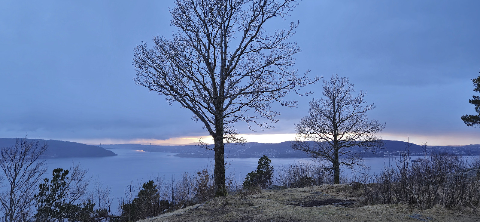
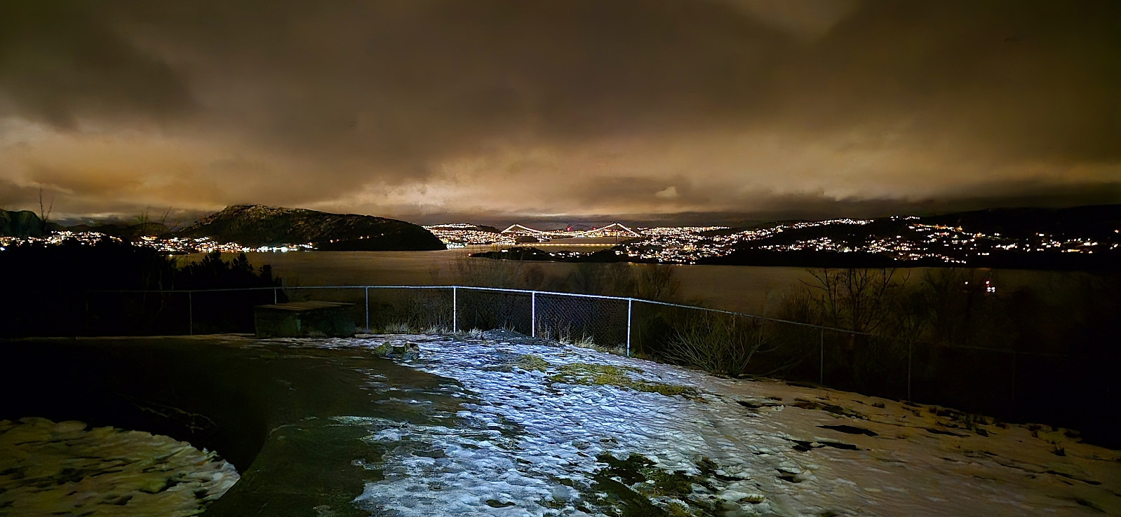
Across Hellen festning
- Date:
- 28.02.2024
- Characteristic:
- Hike
- Duration:
- 0:34h
- Distance:
- 3.2km
 Short local hike before dark.
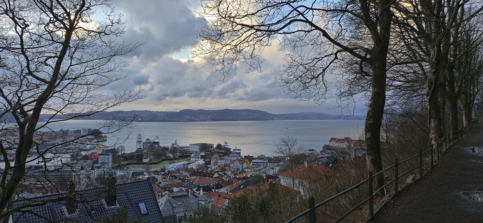
Sandviksbatteriet
- Date:
- 26.02.2024
- Characteristic:
- Hike
- Duration:
- 1:06h
- Distance:
- 5.6km
 Short local hike after work trying to catch the sunset at Sandviksbatteriet , but got light rain instead.
Vikefjell, Toraksla and Opsangerneset
- Date:
- 25.02.2024
- Characteristic:
- Hillwalk
- Duration:
- 2:47h
- Distance:
- 10.1km
 Ever since Petter and I ran out of time during our visit of Halsnøy and Husnes last June, I had had plans to return to also visit Vikefjell , but this time via the express boat from Bergen. The boat took around two hours and after disembarking I followed the roads east towards the southern trailhead for Vikefjell. No sidewalks but thankfully not a lot of traffic.
The marked trailhead was easily located and I proceeded to follow an initially rather steep trail up to Søre Vikefjell where I took a short break to enjoy the excellent views. From there it was only a short distance to the highest point at Vikefjell, referred to as Nordre Vikefjell. Ok views here as well but more limited than Søre Vikefjell. I continued east along the marked trail until connecting with the gravel road in Teigadalen. Here I turned south and headed down to the main road before turning west and returning >>>
Ever since Petter and I ran out of time during our visit of Halsnøy and Husnes last June, I had had plans to return to also visit Vikefjell , but this time via the express boat from Bergen. The boat took around two hours and after disembarking I followed the roads east towards the southern trailhead for Vikefjell. No sidewalks but thankfully not a lot of traffic.
The marked trailhead was easily located and I proceeded to follow an initially rather steep trail up to Søre Vikefjell where I took a short break to enjoy the excellent views. From there it was only a short distance to the highest point at Vikefjell, referred to as Nordre Vikefjell. Ok views here as well but more limited than Søre Vikefjell. I continued east along the marked trail until connecting with the gravel road in Teigadalen. Here I turned south and headed down to the main road before turning west and returning >>>
Fjellveien
- Date:
- 24.02.2024
- Characteristic:
- Hike
- Duration:
- 0:51h
- Distance:
- 4.3km
 On the way home from my failed attempt at adding a new trig marker to the Søyler (fastmerker) i Bergen list I made a short walk along Fjellveien .
Trig marker search at Ørnhaugen
- Date:
- 24.02.2024
- Characteristic:
- Hike
- Duration:
- 0:16h
- Distance:
- 0.8km
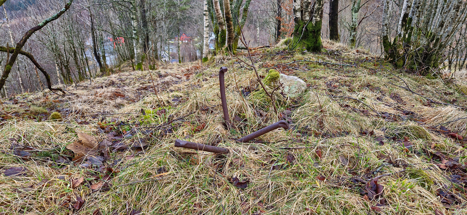 Based on a recent search at bergenskart.no I thought I had come across a new candidate for the Søyler (fastmerker) i Bergen list located at Ørnhaugen near Kalandseidet. The bolt type was even listed as "søyle" (i.e. column). But while there may have been a proper trig marker there at some point all that was left was three rusty metal bars. The small hill was however easily accessible without any trespassing and I even came across a couple of deer near the highest point, hence the very short hike was not a complete failure.
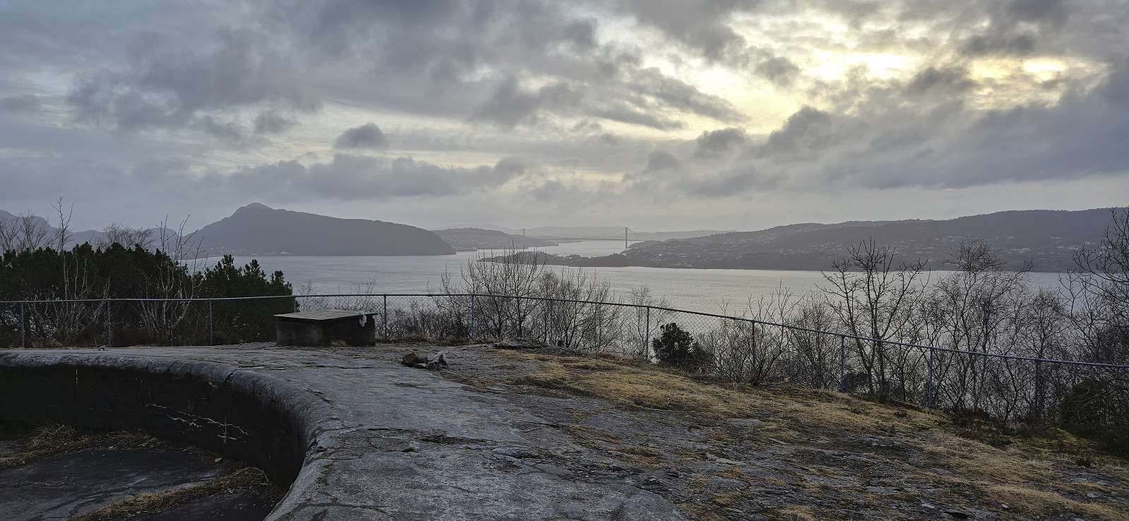
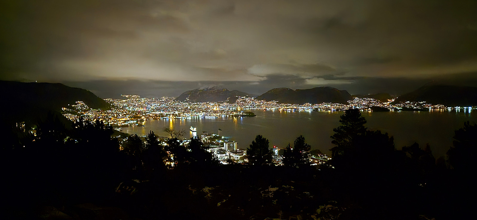
Ørneberget and Hellen festning
- Date:
- 21.02.2024
- Characteristic:
- Hillwalk
- Duration:
- 0:54h
- Distance:
- 4.0km
 Short local hike before it got dark.
Barhaugen
- Date:
- 18.02.2024
- Characteristic:
- Hike
- Duration:
- 0:54h
- Distance:
- 3.8km
 When writing the trip report after my visit of the trig marker at Bønes I came across a new candidate for the Alle topper i Bergen list , namely Barhaugen, a minor hill west of Bøneshallen. Given the steep drop to the west there was even the potential for some good views. I therefore once more took the bus to “Bønes senter” but this time headed north to explore Barhaugen.
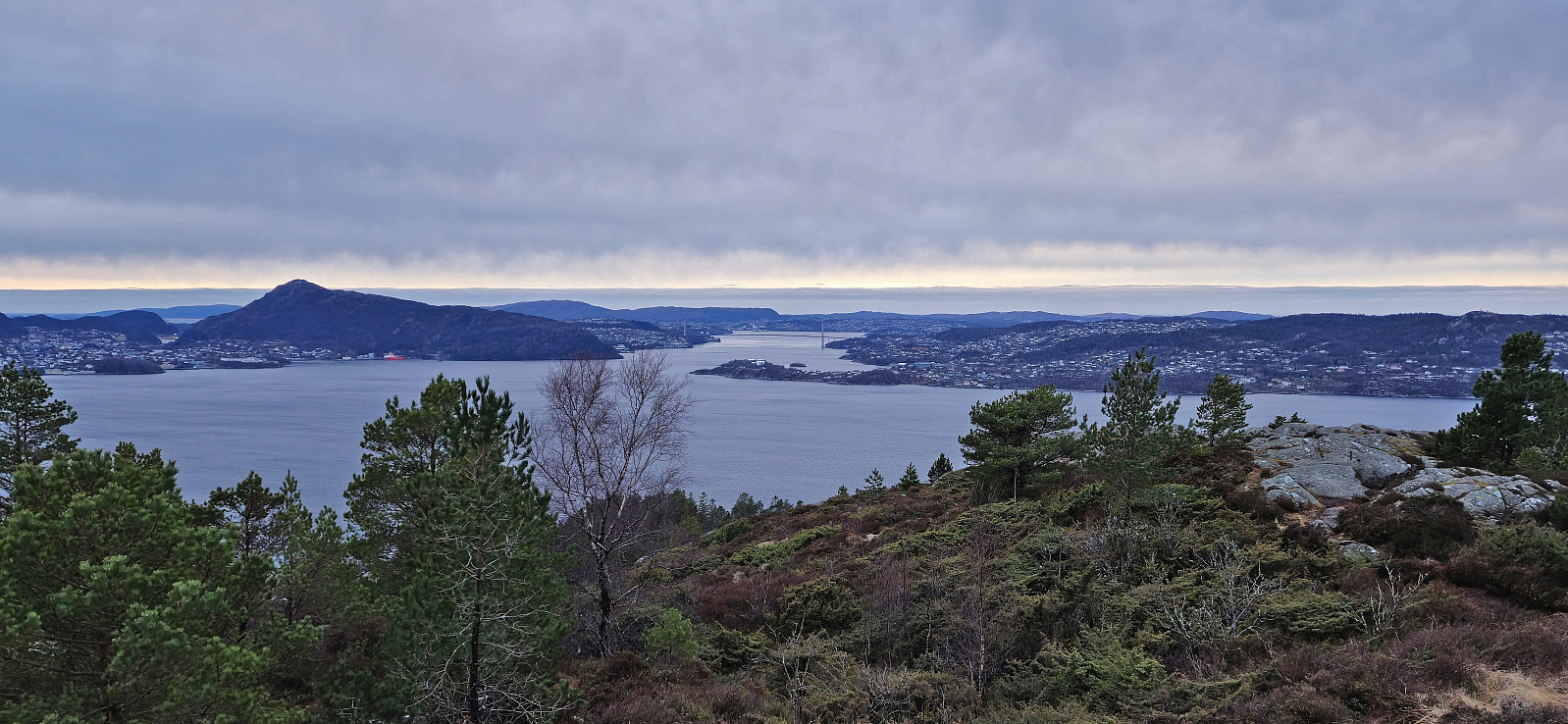
The summit could be easily reached via a trail from the south, however the best views were obtained just southwest of the summit with a great overview of Sælevatnet with both Liatårnet / Pyttane and Lyderhorn prominently visible in the distance. Note that I did not manage to add it as a new peak (148 m, PF=29) (as it was too similar to existing peaks), but given the great views I therefore added it as a vantage point instead.
I returned the same way before concluding the hike by following various roads and separate walking paths >>>
When writing the trip report after my visit of the trig marker at Bønes I came across a new candidate for the Alle topper i Bergen list , namely Barhaugen, a minor hill west of Bøneshallen. Given the steep drop to the west there was even the potential for some good views. I therefore once more took the bus to “Bønes senter” but this time headed north to explore Barhaugen.
The summit could be easily reached via a trail from the south, however the best views were obtained just southwest of the summit with a great overview of Sælevatnet with both Liatårnet / Pyttane and Lyderhorn prominently visible in the distance. Note that I did not manage to add it as a new peak (148 m, PF=29) (as it was too similar to existing peaks), but given the great views I therefore added it as a vantage point instead.
I returned the same way before concluding the hike by following various roads and separate walking paths >>>
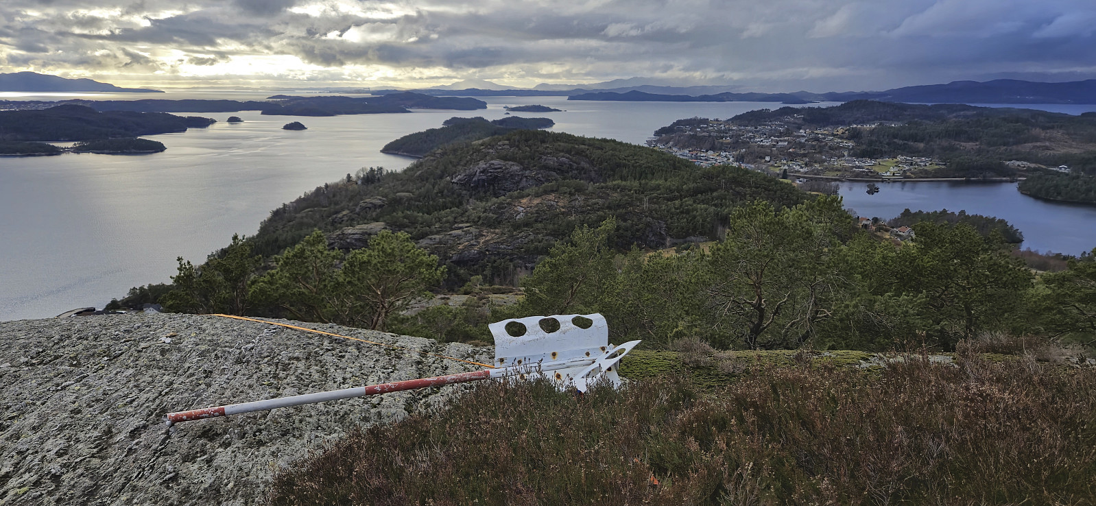
Bjørnahifjellet and Utsletteslottet
- Date:
- 17.02.2024
- Characteristic:
- Hillwalk
- Duration:
- 5:13h
- Distance:
- 12.6km
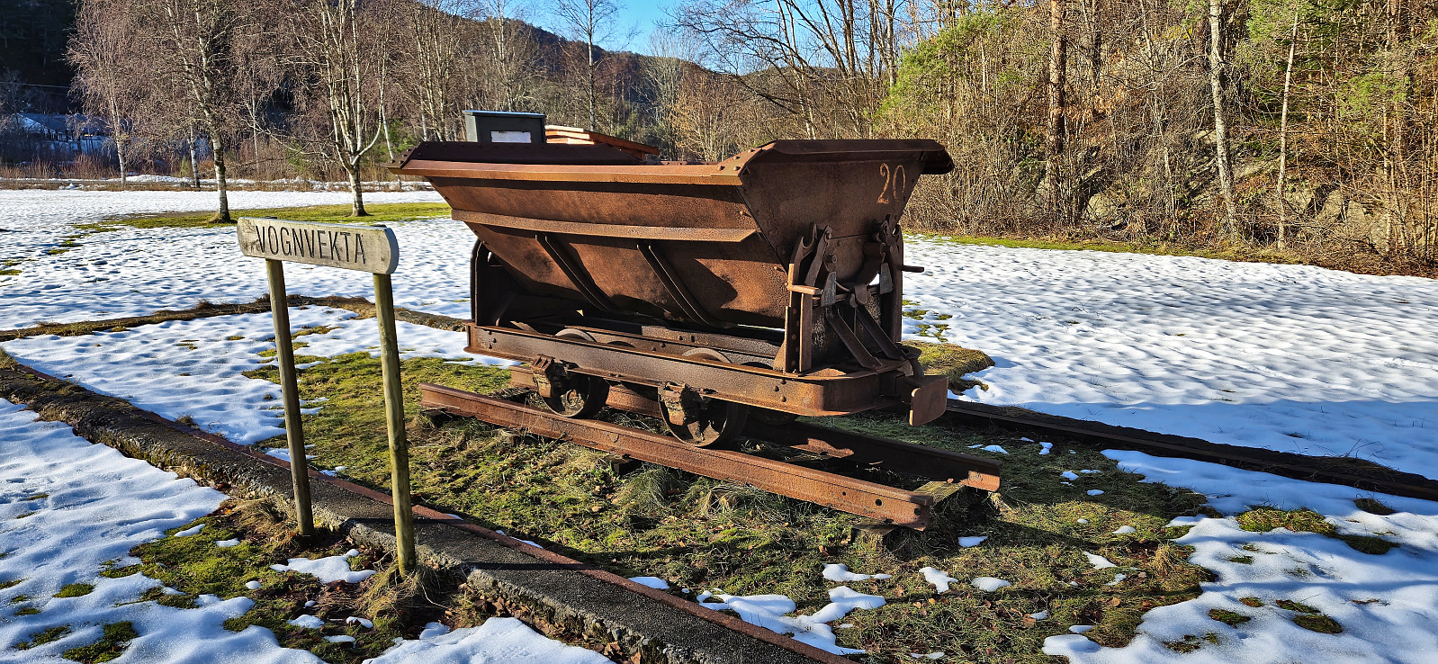 A return to Stord for a visit of Bjørnahifjellet , a minor summit on the Opptur Hordaland list . I started by taking the express bus from Bergen to Leirvik where I switched to a local bus to Litlabø. After a brief exploration of some of the buildings related to the mining museum I continued on a marked route via Storsynken before leaving the mines behind and following the signs for Bjødnahiet .
Four crossings of the stream/river in Storedalen were required before getting to the marked trailhead, where only the first one was via a bridge. But thankfully the water was not very deep and there were convenient steeping stones that made it possible to cross without getting wet. More of a challenge was the snow covering the gravel road, as it was of the type that almost carried my weight but only for a second before giving way, thus resulting in a slower and tougher start >>>
A return to Stord for a visit of Bjørnahifjellet , a minor summit on the Opptur Hordaland list . I started by taking the express bus from Bergen to Leirvik where I switched to a local bus to Litlabø. After a brief exploration of some of the buildings related to the mining museum I continued on a marked route via Storsynken before leaving the mines behind and following the signs for Bjødnahiet .
Four crossings of the stream/river in Storedalen were required before getting to the marked trailhead, where only the first one was via a bridge. But thankfully the water was not very deep and there were convenient steeping stones that made it possible to cross without getting wet. More of a challenge was the snow covering the gravel road, as it was of the type that almost carried my weight but only for a second before giving way, thus resulting in a slower and tougher start >>>
Ørneberget and Furukammen
- Date:
- 14.02.2024
- Characteristic:
- Hillwalk
- Duration:
- 1:02h
- Distance:
- 4.4km
 Short local evening hike on slippery melting snow and ice.
Across Hellen festning
- Date:
- 13.02.2024
- Characteristic:
- Hike
- Duration:
- 0:37h
- Distance:
- 3.2km
 Short local evening hike.
