Archiv - Nach Datum
Archiv - Nach Aktivität
-
Andere Tour (3)
- Kayaking (3)
-
Fahrradtour (111)
- Fahrradtour Straße (86)
- Fahrradtour gemischt (25)
-
Fahrzeugtour (9)
- Autotour (9)
-
Fußtour (1897)
- Bergtour (1120)
- Jogging (1)
- Spaziergang (60)
- Wanderung (716)
-
Skitour (116)
- Langlauf (47)
- Tourenskilauf (69)
Gesammelte Listen
-
Utvalgte topper og turmål i Bergen
(349/351)
 99%
99% -
Alle topper i Bergen
(393/400)
98%
-
Voss ≥ 100m pf.
(96/98)
97%
-
Opptur Hordaland
(144/159)
90%
-
Stasjoner på Bergensbanen
(33/40)
82%
-
Ulvik ≥ 100m pf.
(30/38)
78%
-
Hordaland ≥ 100m pf.
(624/863)
72%
-
Mjølfjell PF > 100m
(21/31)
67%
-
Jondal ≥ 100m pf.
(15/23)
65%
-
Dagsturhyttene i Vestland
(36/61)
59%
-
Sunnhordland PF >= 100m
(105/186)
56%
-
Hordaland: Hardanger PF>=100m
(196/359)
54%
-
DNT-hytter i Hordaland
(23/45)
51%
-
Kvinnherad ≥ 100m pf.
(40/79)
50%
-
Eidfjord ≥ 100m pf.
(13/42)
30%
-
Sogndal ≥ 100m pf.
(23/81)
28%
-
Gulen ≥ 100m pf.
(15/54)
27%
-
Vik i Sogn ≥ 100m pf.
(10/46)
21%
-
Sogn - Sør for Sognefjorden PF>=100m
(31/159)
19%
-
DNT-hytter i Sogn og Fjordane
(8/47)
17%

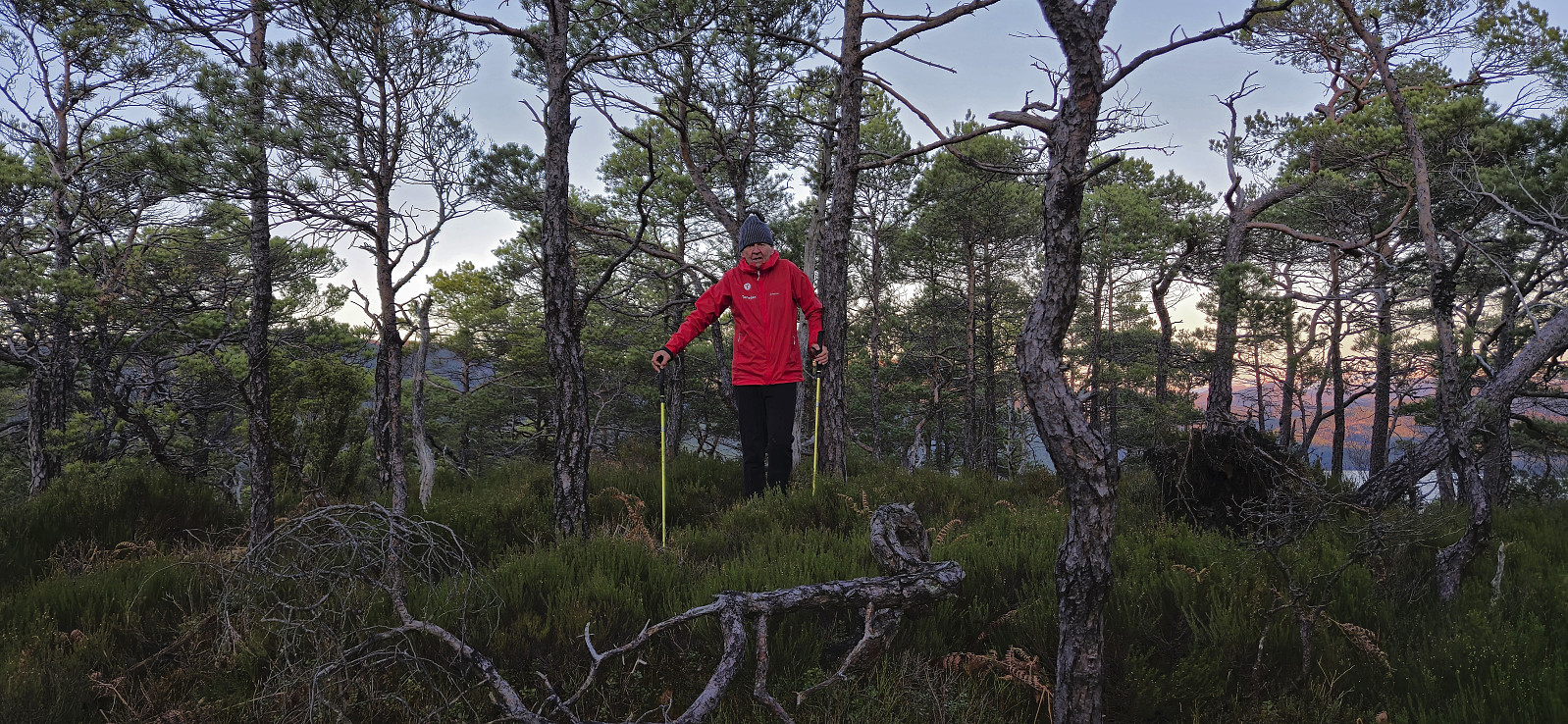
Ørneberget and Rognåsen
- Datum:
- 20.12.2024
- Tourcharakter:
- Bergtour
- Tourlänge:
- 1:40h
- Entfernung:
- 6,2km
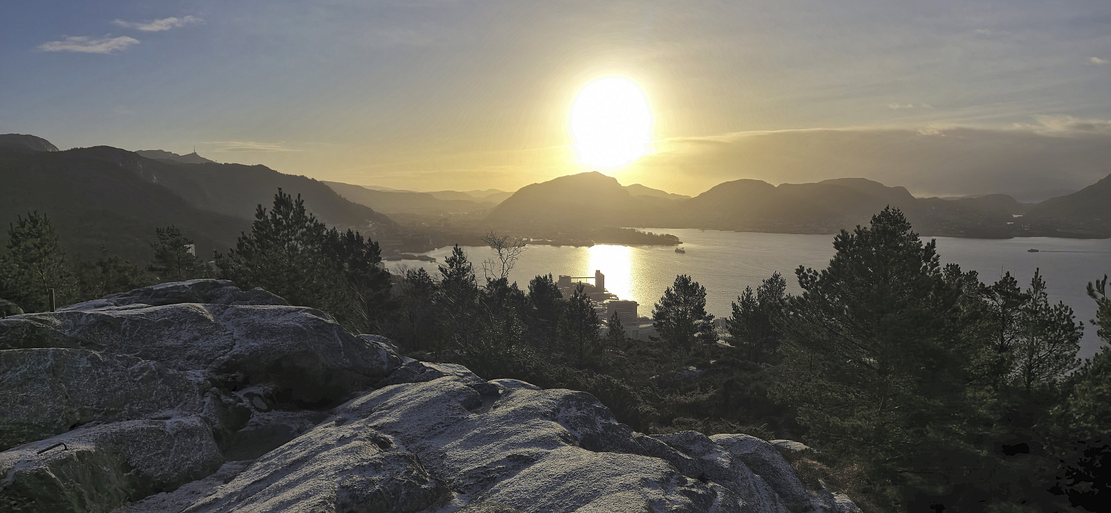 Short local hike on the first day of my extended Christmas holiday.
Across Hellen festning
- Datum:
- 15.12.2024
- Tourcharakter:
- Wanderung
- Tourlänge:
- 0:36h
- Entfernung:
- 3,2km
 Short local hike on a wet and gray Sunday.
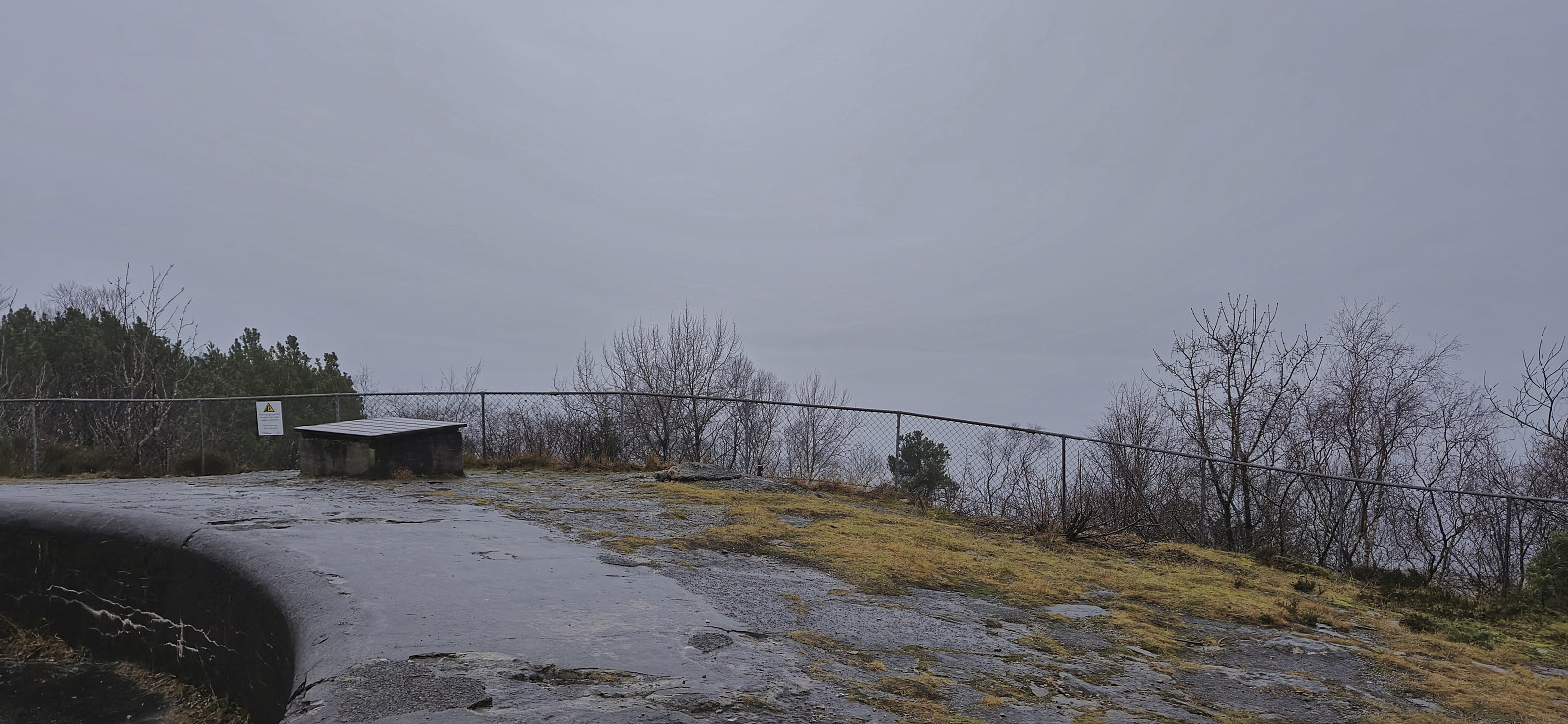
Hellen festning and Hellemyrstien
- Datum:
- 14.12.2024
- Tourcharakter:
- Wanderung
- Tourlänge:
- 2:07h
- Entfernung:
- 9,8km
 Local hike on yet another gray and wet Saturday.
Across Hellen festning
- Datum:
- 10.12.2024
- Tourcharakter:
- Wanderung
- Tourlänge:
- 0:36h
- Entfernung:
- 3,2km
 Short local evening hike.
Vågahovda
- Datum:
- 08.12.2024
- Tourcharakter:
- Bergtour
- Tourlänge:
- 1:02h
- Entfernung:
- 1,8km
 After our ascent of Røyrfjellet Øst , Petter and I drove south to Bjørnafjorden for a visit of Vågahovda - a recent addition to the Bjørnafjorden ≥ 100m pf. list with no previously reported ascents. We found parking at the start of Austefjordvegen just southeast of the summit and after crossing the main road we began our ascent.
No trails but there were plenty of deer tracks making the progress relatively straightforward. On our way to the highest point we made a short detour to where Vågahovda was indicated on the map. Here we came across a fallen trig marker. From there we completed the rest of the distance to the summit, or rather summits, as there were at least two options. There is also a third option about 100 meters to the west, however the lidar data indicates that this point is around 20 cm lower (but may still be worth a visit due to potentially better views?). >>>
After our ascent of Røyrfjellet Øst , Petter and I drove south to Bjørnafjorden for a visit of Vågahovda - a recent addition to the Bjørnafjorden ≥ 100m pf. list with no previously reported ascents. We found parking at the start of Austefjordvegen just southeast of the summit and after crossing the main road we began our ascent.
No trails but there were plenty of deer tracks making the progress relatively straightforward. On our way to the highest point we made a short detour to where Vågahovda was indicated on the map. Here we came across a fallen trig marker. From there we completed the rest of the distance to the summit, or rather summits, as there were at least two options. There is also a third option about 100 meters to the west, however the lidar data indicates that this point is around 20 cm lower (but may still be worth a visit due to potentially better views?). >>>
Røyrfjellet Øst
- Datum:
- 08.12.2024
- Tourcharakter:
- Bergtour
- Tourlänge:
- 3:26h
- Entfernung:
- 10,6km
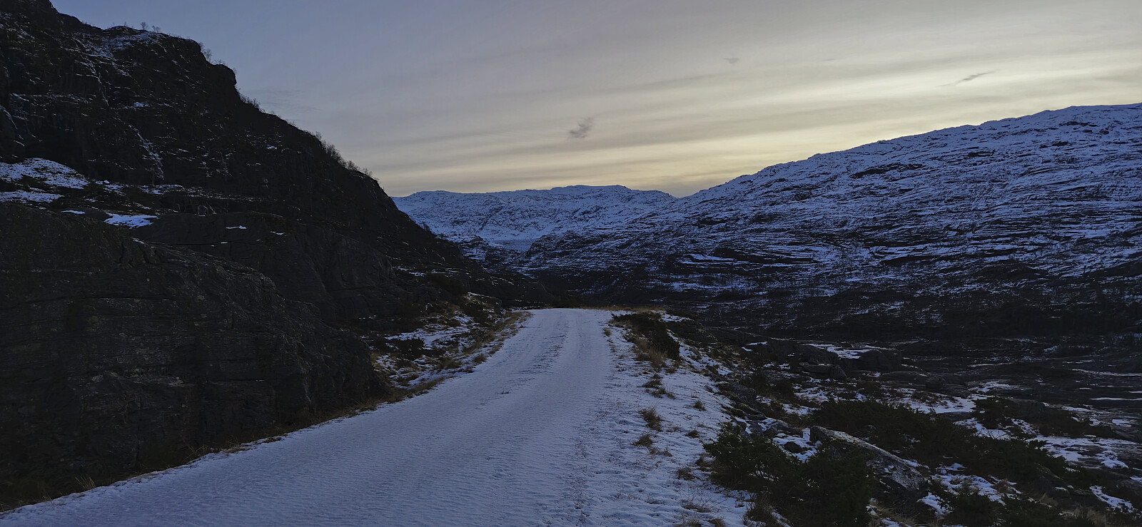 With the recent discovery that Røyrfjellet Øst is in fact higher than Storafjellet , it was clear that this peak also had to be visited. Petter picked me up at my place and together we drove to Kvitingsvatnet with the plan to drive as far up the gravel road to Svartavatnet/Holmavatnet as possible. At the top of Renneberget we found parking next to the road and continued on foot. We probably could have driven further but decided not to take any chances due to the snow-covered road with potential ice underneath.
Upon arriving at the small parking lot at the south side of the Svartavatnet/Holmavatnet dam we tried to follow the marked trail but quickly gave up as the snow was hiding most of the red T's and instead found our own way. Besides a couple of minor challenges we made it past the initial steep area and could from there >>>
With the recent discovery that Røyrfjellet Øst is in fact higher than Storafjellet , it was clear that this peak also had to be visited. Petter picked me up at my place and together we drove to Kvitingsvatnet with the plan to drive as far up the gravel road to Svartavatnet/Holmavatnet as possible. At the top of Renneberget we found parking next to the road and continued on foot. We probably could have driven further but decided not to take any chances due to the snow-covered road with potential ice underneath.
Upon arriving at the small parking lot at the south side of the Svartavatnet/Holmavatnet dam we tried to follow the marked trail but quickly gave up as the snow was hiding most of the red T's and instead found our own way. Besides a couple of minor challenges we made it past the initial steep area and could from there >>>
Fagerdalsfjellet
- Datum:
- 07.12.2024
- Tourcharakter:
- Bergtour
- Tourlänge:
- 0:42h
- Entfernung:
- 3,1km
 Short local Saturday hike in light rain.
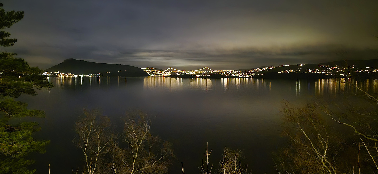
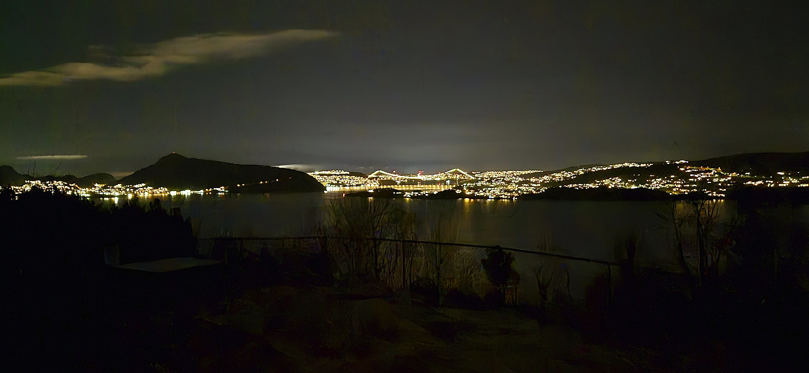
Across Hellen festning
- Datum:
- 04.12.2024
- Tourcharakter:
- Wanderung
- Tourlänge:
- 0:35h
- Entfernung:
- 3,2km
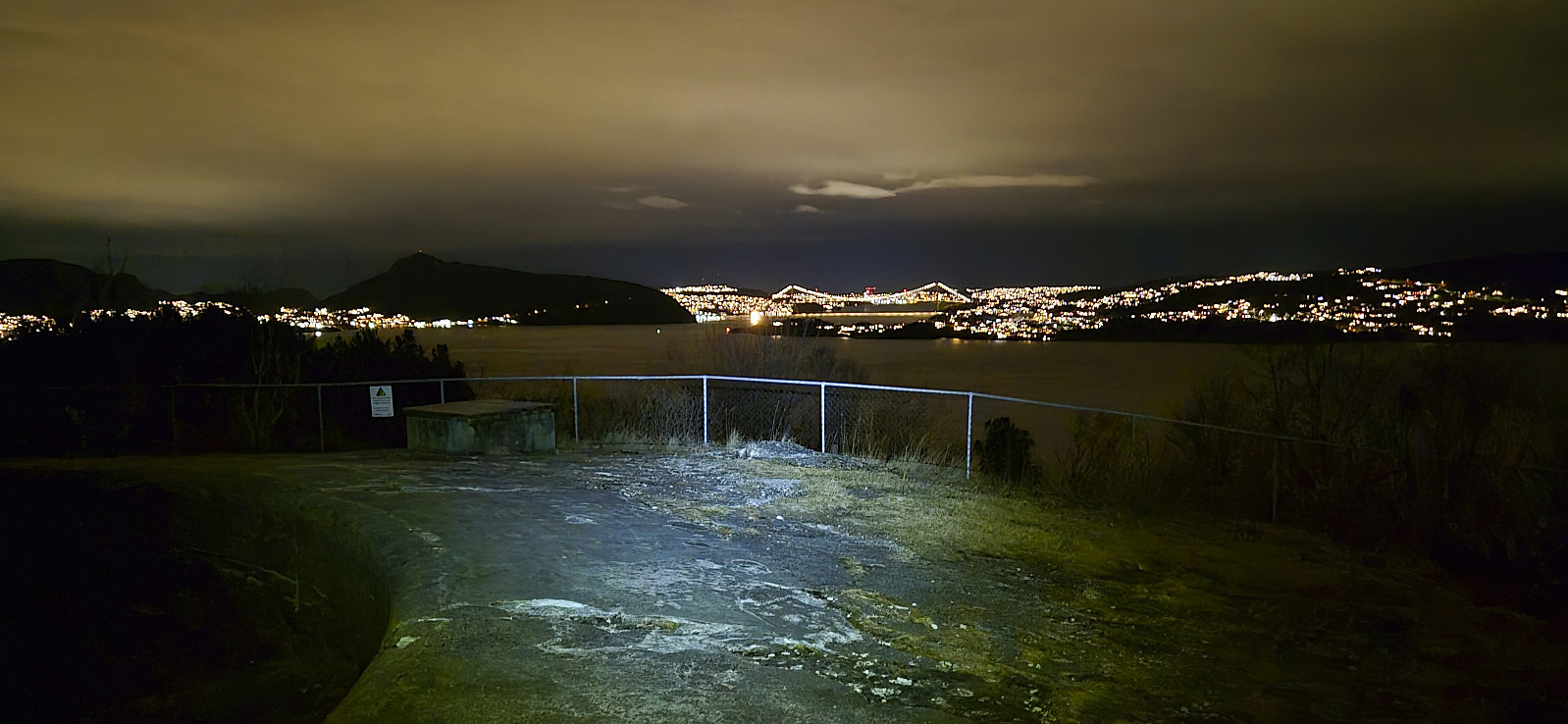 Short local evening hike.
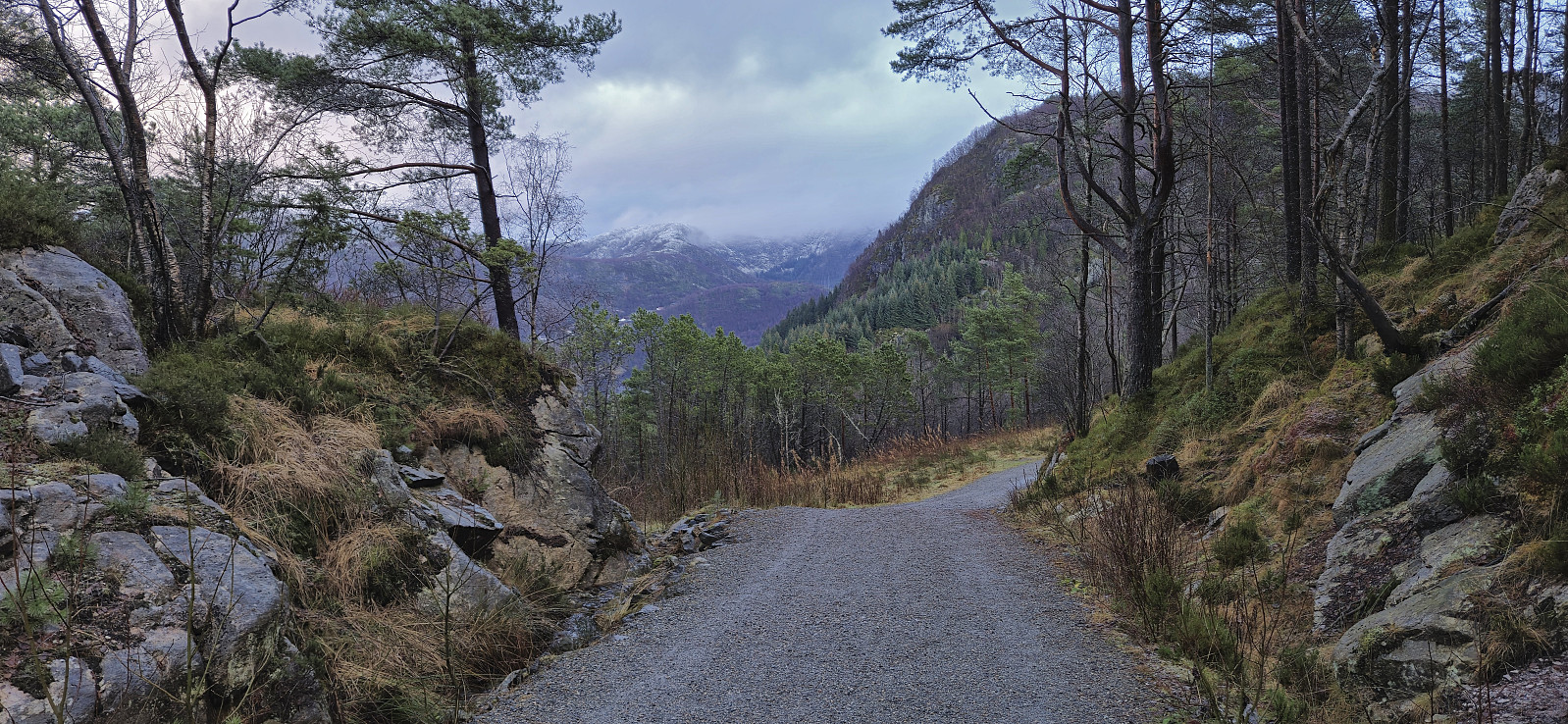
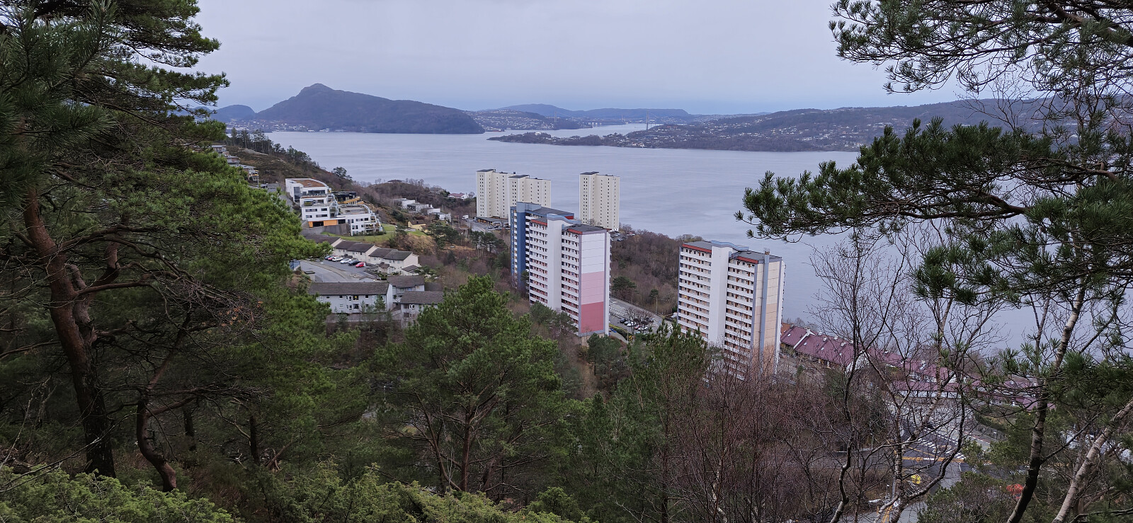
Fjellveien
- Datum:
- 01.12.2024
- Tourcharakter:
- Wanderung
- Tourlänge:
- 1:23h
- Entfernung:
- 7,1km
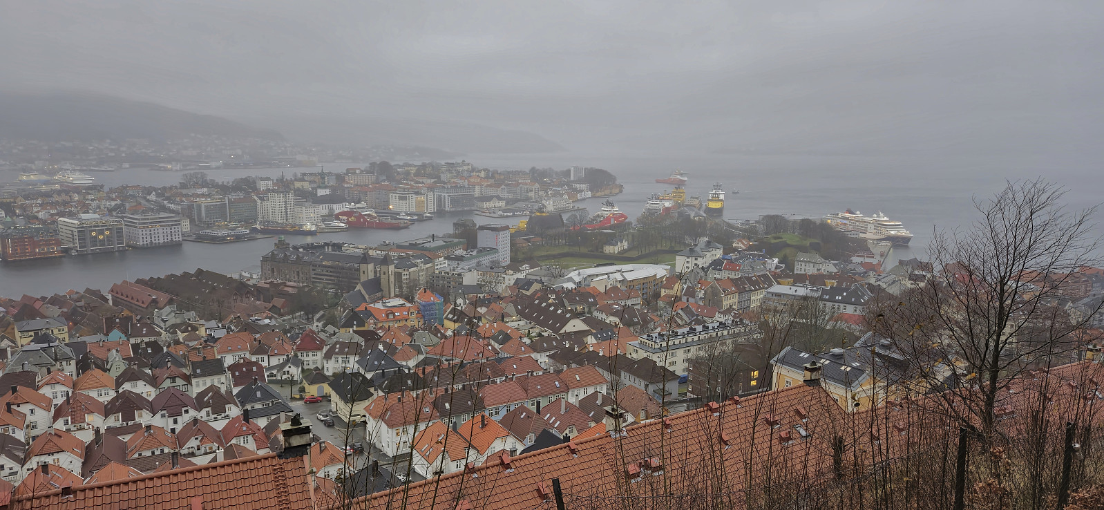 Local hike on a wet and windy Sunday.
Across Hellen festning
- Datum:
- 28.11.2024
- Tourcharakter:
- Wanderung
- Tourlänge:
- 0:37h
- Entfernung:
- 3,2km
 Short local evening hike.
