Archive - Date
Archive - Activity
-
Bike trip (111)
- Bike trip - mixed (25)
- Bike trip - road (86)
-
Drive (9)
- Car drive (9)
-
Other trip (3)
- Kayaking (3)
-
Ski trip (116)
- Backcountry skiing (69)
- Cross-country skiing (47)
- Trip by foot (1897)
Collected lists
-
Utvalgte topper og turmål i Bergen
(349/351)
 99%
99% -
Alle topper i Bergen
(393/400)
98%
-
Voss ≥ 100m pf.
(96/98)
97%
-
Opptur Hordaland
(144/159)
90%
-
Stasjoner på Bergensbanen
(33/40)
82%
-
Ulvik ≥ 100m pf.
(30/38)
78%
-
Hordaland ≥ 100m pf.
(624/863)
72%
-
Mjølfjell PF > 100m
(21/31)
67%
-
Jondal ≥ 100m pf.
(15/23)
65%
-
Dagsturhyttene i Vestland
(36/61)
59%
-
Sunnhordland PF >= 100m
(105/186)
56%
-
Hordaland: Hardanger PF>=100m
(196/359)
54%
-
DNT-hytter i Hordaland
(23/45)
51%
-
Kvinnherad ≥ 100m pf.
(40/79)
50%
-
Eidfjord ≥ 100m pf.
(13/42)
30%
-
Sogndal ≥ 100m pf.
(23/81)
28%
-
Gulen ≥ 100m pf.
(15/54)
27%
-
Vik i Sogn ≥ 100m pf.
(10/46)
21%
-
Sogn - Sør for Sognefjorden PF>=100m
(31/159)
19%
-
DNT-hytter i Sogn og Fjordane
(8/47)
17%

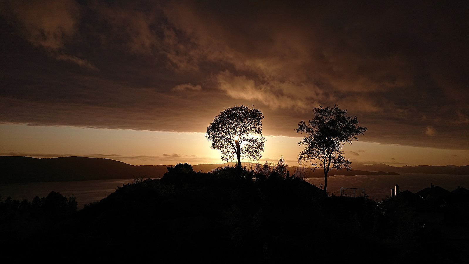
Across Hellen festning
- Date:
- 30.05.2023
- Characteristic:
- Hike
- Duration:
- 0:37h
- Distance:
- 3.2km
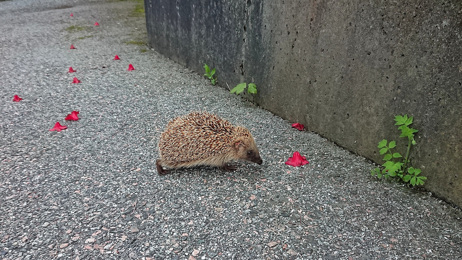 Short local evening hike.
Raunefjellet from Gamlesæter
- Date:
- 28.05.2023
- Characteristic:
- Hillwalk
- Duration:
- 6:42h
- Distance:
- 19.3km
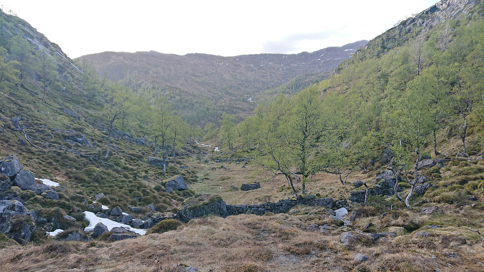 Modalen is not the most easily accessible area by public transport. Therefore, the natural starting point for a hike to Raunefjellet , i.e. the gravel road heading north from Stølen just southwest of the summit, was not an option for me and I instead had to start from Gamlesæter in Romarheimsdalen. This would result in a significantly longer hike but at least around half of it would be on trails.
I started by taking the express bus to Gamlesæter and from there followed the unmarked trails via Langedalen to Svartholet . Decided to take off my boots when crossing the small river just west of the cabin as it was deeper than on my last visit three years earlier . After putting my boots back on I continued east to Eiterdalen . Until now I had been able to follow a trail, although a rather wet and muddy one, however at Eiterdalen the trail pretty much disappeared >>>
Modalen is not the most easily accessible area by public transport. Therefore, the natural starting point for a hike to Raunefjellet , i.e. the gravel road heading north from Stølen just southwest of the summit, was not an option for me and I instead had to start from Gamlesæter in Romarheimsdalen. This would result in a significantly longer hike but at least around half of it would be on trails.
I started by taking the express bus to Gamlesæter and from there followed the unmarked trails via Langedalen to Svartholet . Decided to take off my boots when crossing the small river just west of the cabin as it was deeper than on my last visit three years earlier . After putting my boots back on I continued east to Eiterdalen . Until now I had been able to follow a trail, although a rather wet and muddy one, however at Eiterdalen the trail pretty much disappeared >>>
Sævareid to Eikeland via Håvikemulen and Haugafjellet
- Date:
- 25.05.2023
- Characteristic:
- Hillwalk
- Duration:
- 4:49h
- Distance:
- 13.6km
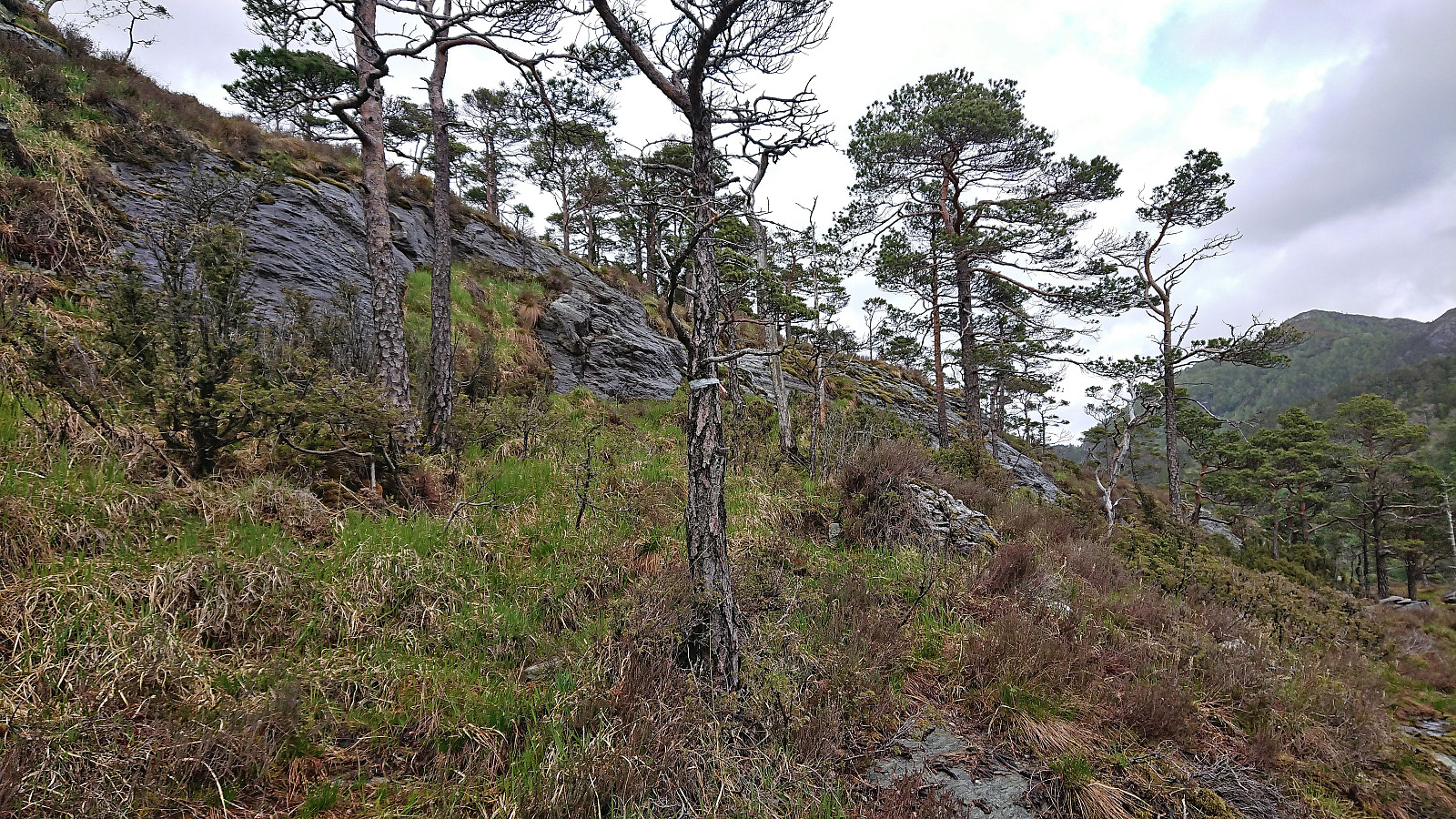 As usual after attending a conference at Solstrand , I took a slightly longer detour on the way home than my colleagues. So when they took the bus back to Bergen after lunch I instead took the bus and ferry across the fjord to go hiking in Fusa. After switching buses at “Kilen kryss” I continued on a bus to Sævareid where I turned on the GPS tracking and followed the roads west to Ljotå.
My initial plan had been to continue up Ljotådalen for about 1 km and from there head southwest to the summit (as this seemed to be the route of previous hikers). However, when I came across a small bridge on the left-hand side of the tractor road much earlier, I took a gamble that perhaps this would reveal a proper trail to the summit of Håvikemulen .
The weak unmarked trail on the other side however soon disappeared, but >>>
As usual after attending a conference at Solstrand , I took a slightly longer detour on the way home than my colleagues. So when they took the bus back to Bergen after lunch I instead took the bus and ferry across the fjord to go hiking in Fusa. After switching buses at “Kilen kryss” I continued on a bus to Sævareid where I turned on the GPS tracking and followed the roads west to Ljotå.
My initial plan had been to continue up Ljotådalen for about 1 km and from there head southwest to the summit (as this seemed to be the route of previous hikers). However, when I came across a small bridge on the left-hand side of the tractor road much earlier, I took a gamble that perhaps this would reveal a proper trail to the summit of Håvikemulen .
The weak unmarked trail on the other side however soon disappeared, but >>>
Kyststien Strandvegen
- Date:
- 24.05.2023
- Characteristic:
- Walk
- Duration:
- 0:55h
- Distance:
- 3.7km
 After last year's successful hike to Moldaneset as part of a two-day conference at Solstrand , I was again asked to organize a short walk when we now returned a year later. Given that the break before dinner was slightly shorter this time around we headed southwest from the hotel to cover the rest of Kyststien Strandvegen . To make the walk into a roundtrip, we first followed the main road towards Osøyro before returning along the gravel road to the hotel, including a small detour to Haugsneset. Overall, a nice short walk that can be recommended if at Solstrand and having some spare time.
Ørneberget and Furukammen
- Date:
- 21.05.2023
- Characteristic:
- Hillwalk
- Duration:
- 0:52h
- Distance:
- 4.0km
 Short local hike after yesterday's long skiing trip.
Skiing: Mjølfjell to Skiple
- Date:
- 20.05.2023
- Characteristic:
- Backcountry skiing
- Duration:
- 10:12h
- Distance:
- 33.3km
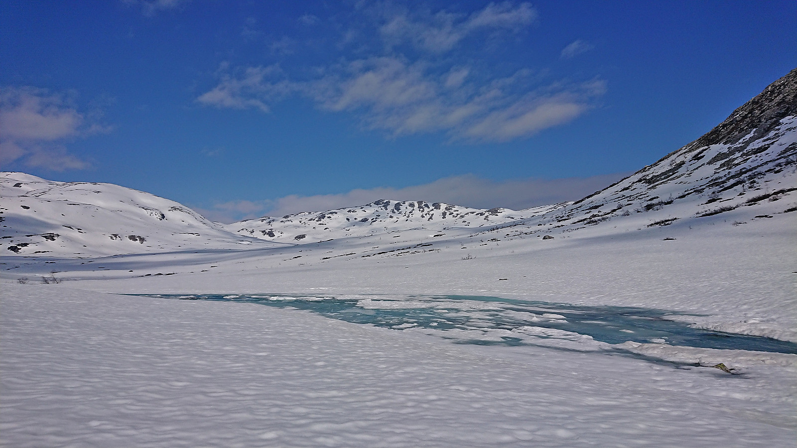 After last weekend's successful skiing trip to Øykjafonn and Skipanuten I decided to have another go, but this time on my own and starting from Mjølfjell. I again took the early morning train from Bergen and arrived at Mjølfjell train station just before nine. From the station I followed the gravel road north into Rjonaddalen, where I carried the skis for the first 2 km, before putting them on a continuing beside the road where there was just enough snow left.
I soon left the road for a shortcut to reconnect with the road up to Grodjuvet. This road normally continues all the way to the bridge across Grodjyvo , but today the road was soon hidden underneath the snow. By then it was too late to cross the partially open river and I instead continued north until I could safely cross via the mentioned bridge and start the ascent to Grodjuvenuten .
After passing on the northern side of Skyttargluggane, all that remained >>>
After last weekend's successful skiing trip to Øykjafonn and Skipanuten I decided to have another go, but this time on my own and starting from Mjølfjell. I again took the early morning train from Bergen and arrived at Mjølfjell train station just before nine. From the station I followed the gravel road north into Rjonaddalen, where I carried the skis for the first 2 km, before putting them on a continuing beside the road where there was just enough snow left.
I soon left the road for a shortcut to reconnect with the road up to Grodjuvet. This road normally continues all the way to the bridge across Grodjyvo , but today the road was soon hidden underneath the snow. By then it was too late to cross the partially open river and I instead continued north until I could safely cross via the mentioned bridge and start the ascent to Grodjuvenuten .
After passing on the northern side of Skyttargluggane, all that remained >>>
Hellemyrstien, Skredderdalen and Hellen festning
- Date:
- 18.05.2023
- Characteristic:
- Hike
- Duration:
- 3:38h
- Distance:
- 13.3km
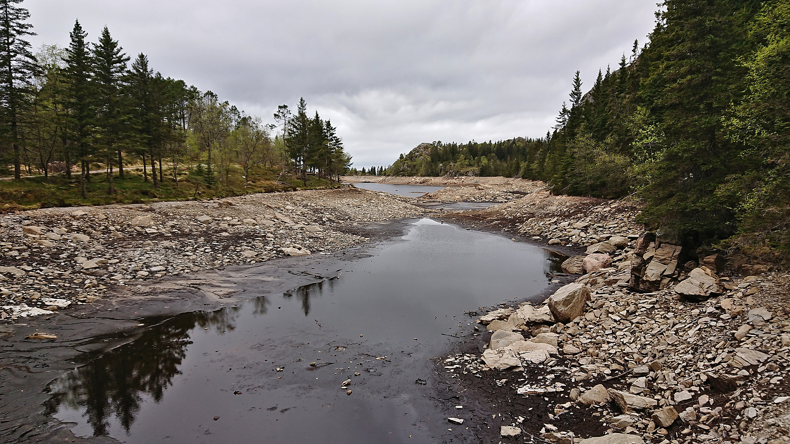 Due to a late worsening of the weather forecast, I postponed my initial hiking plans in Fusa and instead opted for a more local hike. In the end, the rain did not begin until after I had arrived home anyway and I am pretty sure I could have completed most of the planned hike without getting too wet.
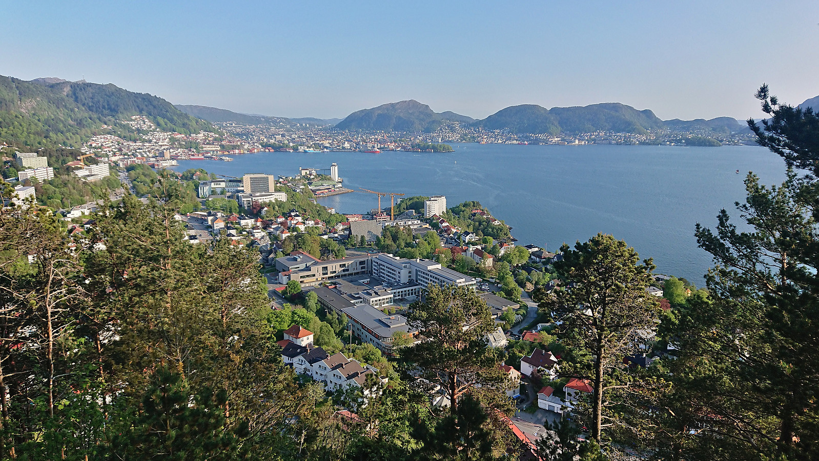
Across Hellen festning
- Date:
- 17.05.2023
- Characteristic:
- Hike
- Duration:
- 0:33h
- Distance:
- 3.2km
 Short local evening hike.
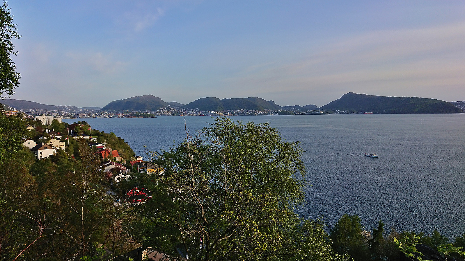
Across Hellen festning
- Date:
- 15.05.2023
- Characteristic:
- Hike
- Duration:
- 0:45h
- Distance:
- 3.7km
 Short local evening hike.
Fjellveien
- Date:
- 14.05.2023
- Characteristic:
- Hike
- Duration:
- 1:25h
- Distance:
- 7.3km
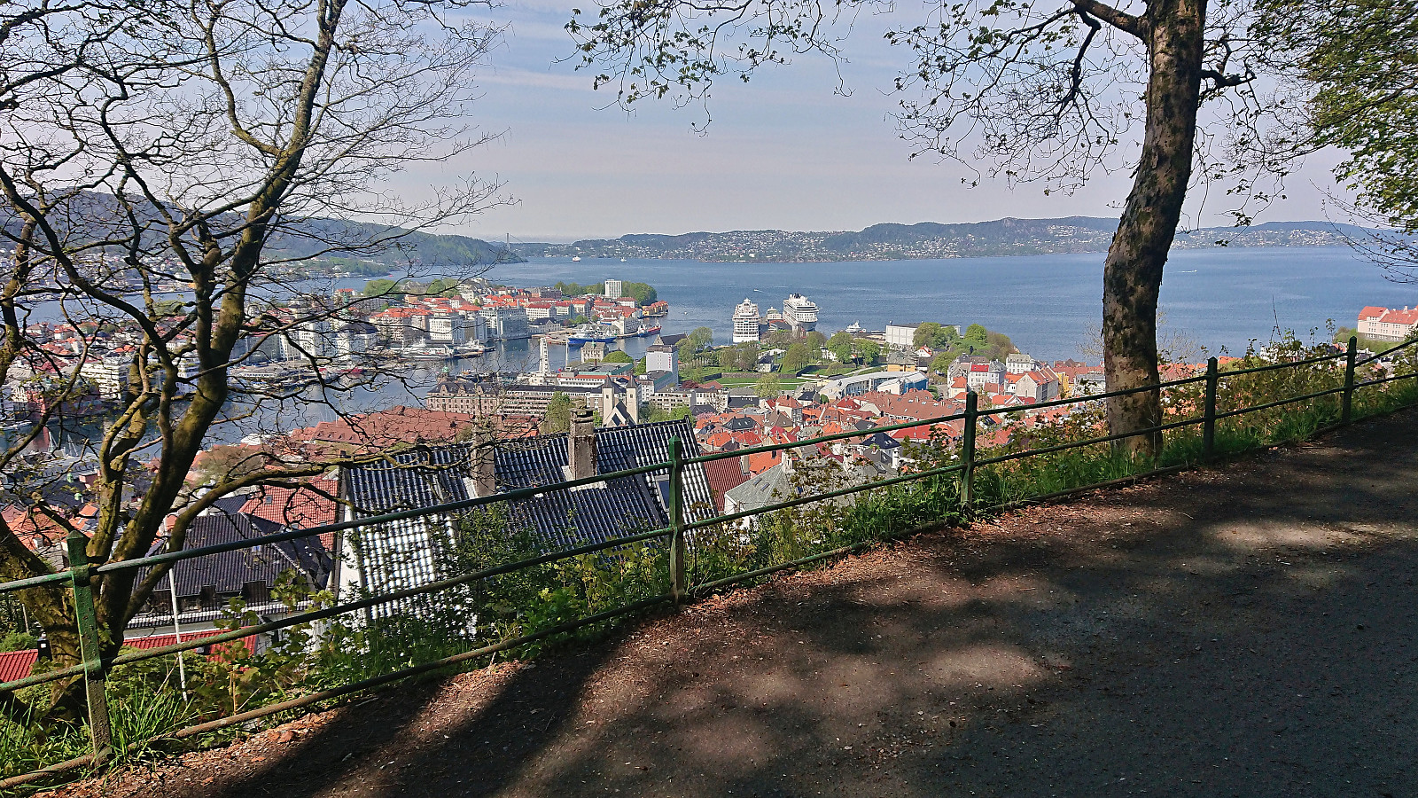 Only a short walk in Fjellveien today after spending most of yesterday on a skiing trip to Øykjafonn and Skipanuten .
