Arkiv - dato
Arkiv - aktivitet
-
Annen tur (3)
- Kajakkpadling (3)
- Fottur (1897)
-
Kjøretur (9)
- Biltur (9)
-
Skitur (116)
- Fjellskitur (69)
- Langrennstur (47)
-
Sykkeltur (111)
- Blandet sykling (25)
- Gatesykling (86)
Lister jeg samler etter
-
Utvalgte topper og turmål i Bergen
(349/351)
 99%
99% -
Alle topper i Bergen
(393/400)
98%
-
Voss ≥ 100m pf.
(96/98)
97%
-
Opptur Hordaland
(144/159)
90%
-
Stasjoner på Bergensbanen
(33/40)
82%
-
Ulvik ≥ 100m pf.
(30/38)
78%
-
Hordaland ≥ 100m pf.
(624/863)
72%
-
Mjølfjell PF > 100m
(21/31)
67%
-
Jondal ≥ 100m pf.
(15/23)
65%
-
Dagsturhyttene i Vestland
(36/61)
59%
-
Sunnhordland PF >= 100m
(105/186)
56%
-
Hordaland: Hardanger PF>=100m
(196/359)
54%
-
DNT-hytter i Hordaland
(23/45)
51%
-
Kvinnherad ≥ 100m pf.
(40/79)
50%
-
Eidfjord ≥ 100m pf.
(13/42)
30%
-
Sogndal ≥ 100m pf.
(23/81)
28%
-
Gulen ≥ 100m pf.
(15/54)
27%
-
Vik i Sogn ≥ 100m pf.
(10/46)
21%
-
Sogn - Sør for Sognefjorden PF>=100m
(31/159)
19%
-
DNT-hytter i Sogn og Fjordane
(8/47)
17%

Starefossen to Lønborg
- Dato:
- 27.11.2022
- Turtype:
- Fottur
- Turlengde:
- 2:22t
- Distanse:
- 10,4km
 A wet Sunday with strong winds from the south. But by taking the bus to Starefossen I had the wind from behind for most of the hike home to Lønbørg.
Erstadfjellet, Brakabu and Brakvatnet
- Dato:
- 26.11.2022
- Turtype:
- Fjelltur
- Turlengde:
- 2:48t
- Distanse:
- 11,4km
 A return to Erstadfjellet with the main objective of also visiting Brakabu , as it had not yet been built at my previous visit in 2017 . I could pretty much follow signs for Brakabu all the way from the ferry at Valestrand, first along paved roads and then on an overall good-quality trail to the summit of Erstadfjellet. Brakabu was quickly visited on the descent, before taking an alternative route down to Erstad and Brakvatnet. Even though this was just a transportation stage to get to the ferry, the winding gravel road and the nice lake made for a very enjoyable end to the hike.
Oppstemten
- Dato:
- 23.11.2022
- Turtype:
- Fjelltur
- Turlengde:
- 1:10t
- Distanse:
- 4,6km
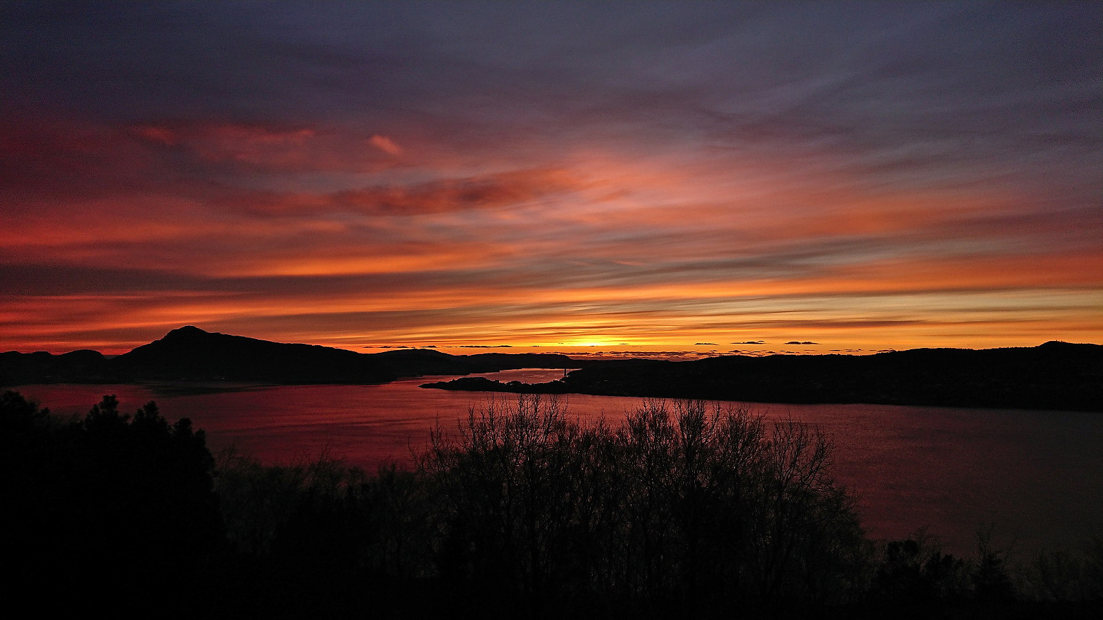
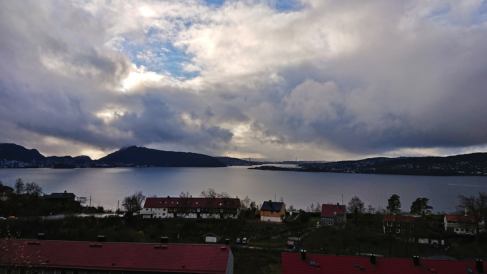
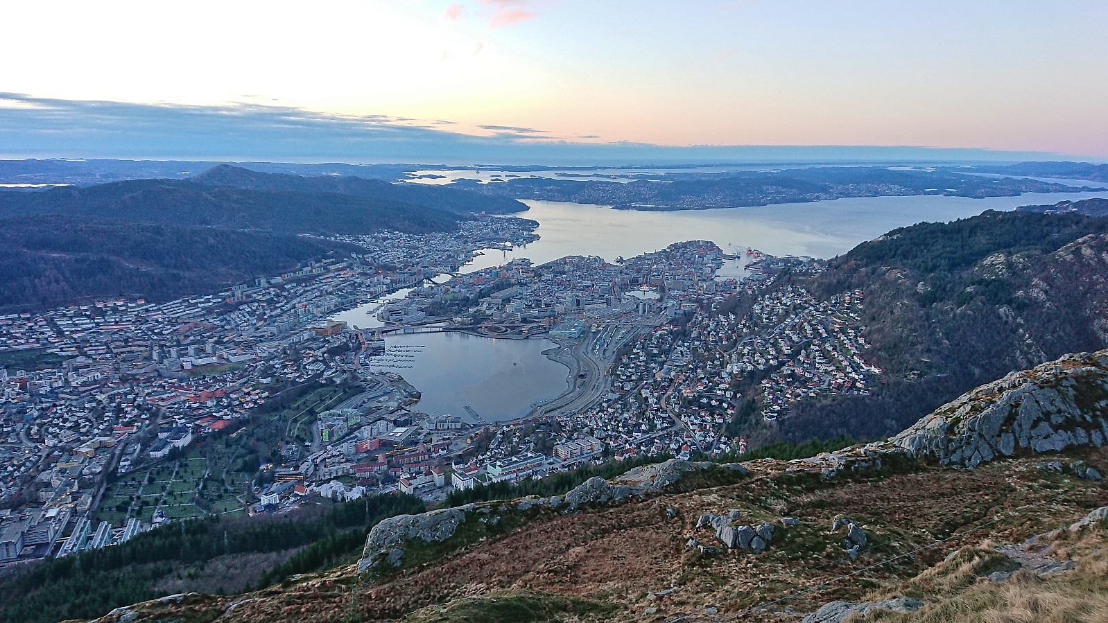 An attempt to catch the sunset from the top Ulriken, however the sun cheated and hid behind clouds before setting. Hence the sun disappeared even before I started on the stone steps. I took it relatively easy and made it to the top (from the start of the gravel road at Montana) in less than 28 minutes. Since my last visit the shortcut up from Ulriksbanen, apparently called Skotbergkleiven, had been greatly improved with new stone and metal steps at the start and then a gravel road.
Across Hellen festning
- Dato:
- 21.11.2022
- Turtype:
- Fottur
- Turlengde:
- 0:34t
- Distanse:
- 3,2km
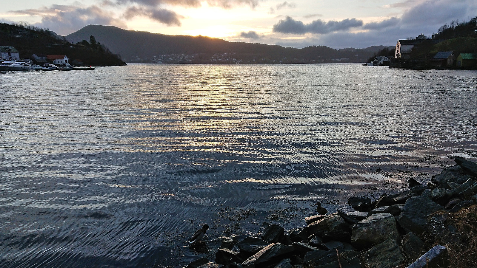
 Short local hike just after sunset.
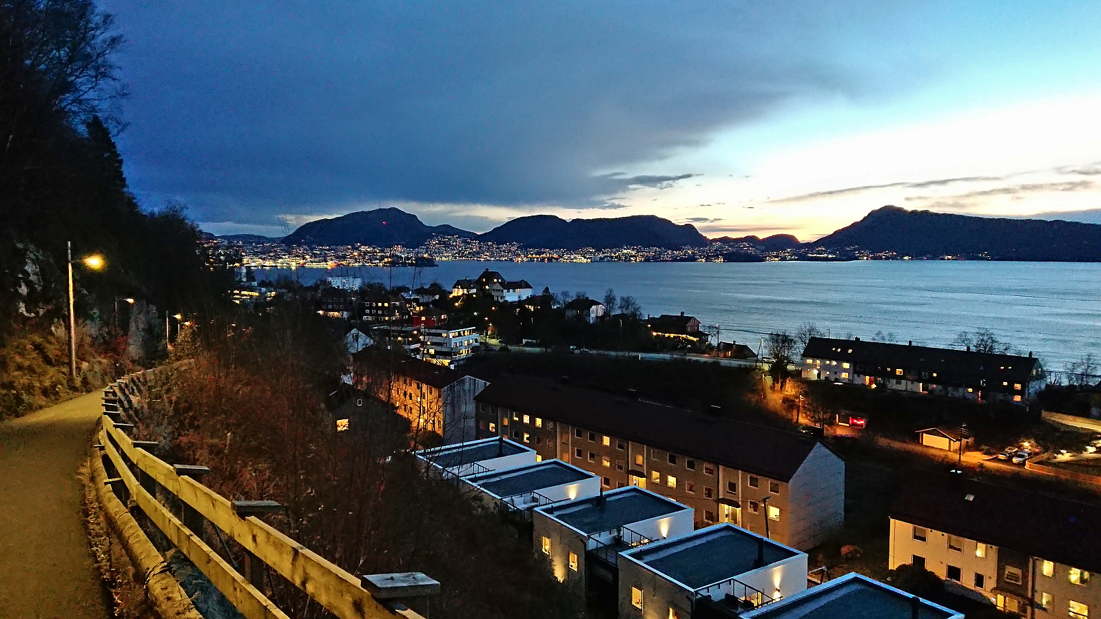
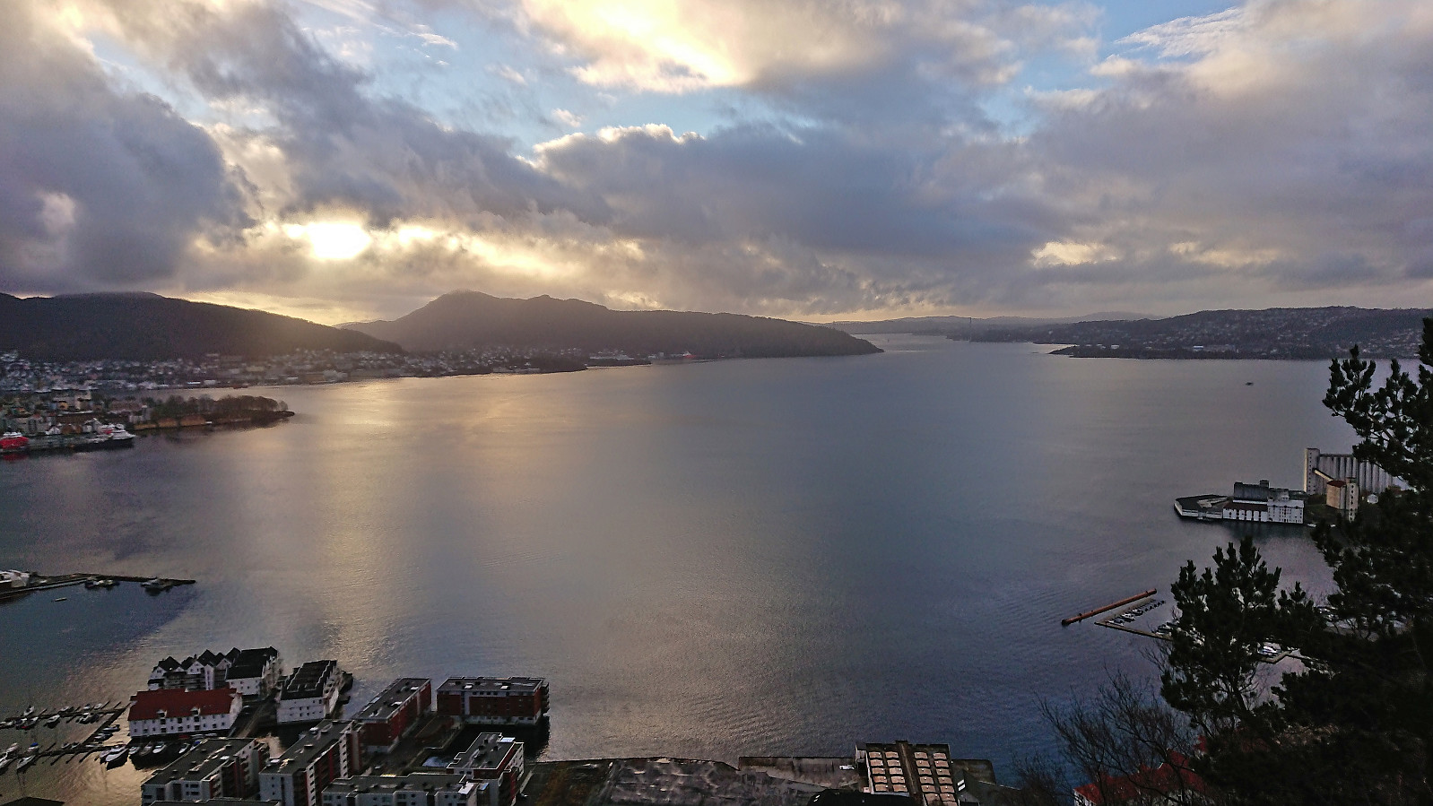
Fjellveien and Hellen festning
- Dato:
- 20.11.2022
- Turtype:
- Fottur
- Turlengde:
- 2:14t
- Distanse:
- 8,5km
 Shorter local Sunday hike after yesterday's hike in Kvam.
Torefjell from Steinsdalsfossen via Raudnos
- Dato:
- 19.11.2022
- Turtype:
- Fjelltur
- Turlengde:
- 5:24t
- Distanse:
- 15,6km
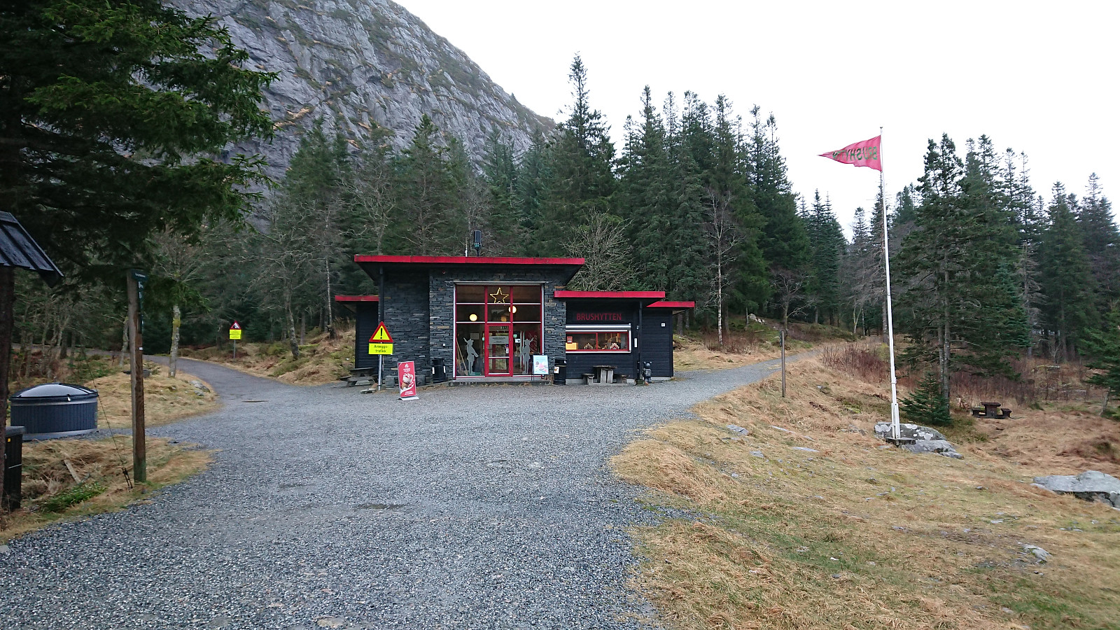
 Most, if not all, of the previous visits of Torefjell seemed to have started from Sjusete. Getting to Sjusete without a car would however require a rather boring walk along the roads up from Norheimsund. When looking for other options, I came across this suggested hike from Steinsdalsfossen to Raudnos , which also indicated that it was possible to get to Raudnos via trails from the northeast. This would only leave the short distance from the gravel road south of Alkleiv up to Forsete and I would be on the standard trail to Torefjell. The map did not indicate any trail there, but I was pretty confident that one would turn up.
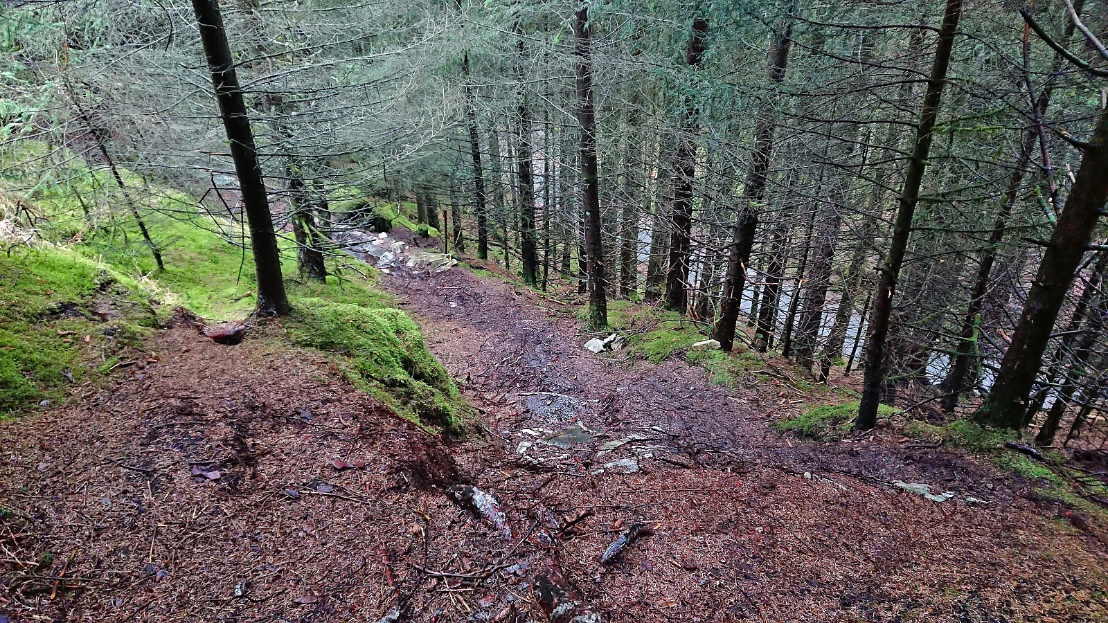
With the plan decided upon, I took the bus to Øvsthus and got off at the stop named after the popular waterfall of Steinsdalsfossen . Similar to my visit of Steinsdalsfossen at the start of April , the famous walk behind the waterfall was closed due to ice, and I instead followed the paved road up towards >>>
Most, if not all, of the previous visits of Torefjell seemed to have started from Sjusete. Getting to Sjusete without a car would however require a rather boring walk along the roads up from Norheimsund. When looking for other options, I came across this suggested hike from Steinsdalsfossen to Raudnos , which also indicated that it was possible to get to Raudnos via trails from the northeast. This would only leave the short distance from the gravel road south of Alkleiv up to Forsete and I would be on the standard trail to Torefjell. The map did not indicate any trail there, but I was pretty confident that one would turn up.
With the plan decided upon, I took the bus to Øvsthus and got off at the stop named after the popular waterfall of Steinsdalsfossen . Similar to my visit of Steinsdalsfossen at the start of April , the famous walk behind the waterfall was closed due to ice, and I instead followed the paved road up towards >>>
Tveitalifjellet, Emberlandsnipen and Nipaståvo
- Dato:
- 13.11.2022
- Turtype:
- Fjelltur
- Turlengde:
- 4:16t
- Distanse:
- 19,3km
 My plans to go hiking at Voss had to be changed when massive amounts of rainfall resulted in one of the largest floods in that area in modern history. In order to avoid any issues with blocked roads or cancelled trains, I therefore decided to instead head south for two new summits in Sveio.
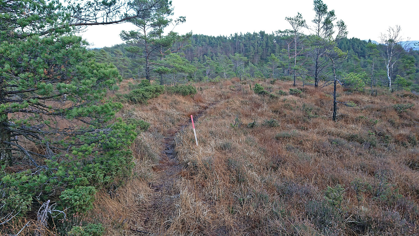
First up was Tveitalifjellet . After getting off the bus from Bergen at Haukås terminal, I walked the short distance back along the sidewalk before taking the gravel road up to Tveita. When the road ended just east of the summit, I passed through a gate and tried to follow the red plastic trail markers, but after one marker at the gate and a second when entering between the trees, I did not spot more until the terrain levelled off after the first short steep ascent. From there on there were several additional markers, but >>>
My plans to go hiking at Voss had to be changed when massive amounts of rainfall resulted in one of the largest floods in that area in modern history. In order to avoid any issues with blocked roads or cancelled trains, I therefore decided to instead head south for two new summits in Sveio.
First up was Tveitalifjellet . After getting off the bus from Bergen at Haukås terminal, I walked the short distance back along the sidewalk before taking the gravel road up to Tveita. When the road ended just east of the summit, I passed through a gate and tried to follow the red plastic trail markers, but after one marker at the gate and a second when entering between the trees, I did not spot more until the terrain levelled off after the first short steep ascent. From there on there were several additional markers, but >>>
Sandviksbatteriet, Hellemyrstien and Hellen festning
- Dato:
- 12.11.2022
- Turtype:
- Fottur
- Turlengde:
- 1:25t
- Distanse:
- 6,7km
 Short local Saturday hike before sunset.
Hellemyrstien and Hellen festning
- Dato:
- 06.11.2022
- Turtype:
- Fottur
- Turlengde:
- 2:13t
- Distanse:
- 6,7km
 Short local hike on a gray Sunday, including an exploration (on foot) of the mountain bike tracks north of Langevatnet with my two nephews.
Across Hellen festning
- Dato:
- 05.11.2022
- Turtype:
- Fottur
- Turlengde:
- 0:35t
- Distanse:
- 3,2km
 Short local Saturday hike in between the many rain showers.
