Arkiv - dato
Arkiv - aktivitet
-
Annen tur (3)
- Kajakkpadling (3)
- Fottur (1897)
-
Kjøretur (9)
- Biltur (9)
-
Skitur (116)
- Fjellskitur (69)
- Langrennstur (47)
-
Sykkeltur (111)
- Blandet sykling (25)
- Gatesykling (86)
Lister jeg samler etter
-
Utvalgte topper og turmål i Bergen
(349/351)
 99%
99% -
Alle topper i Bergen
(393/400)
98%
-
Voss ≥ 100m pf.
(96/98)
97%
-
Opptur Hordaland
(144/159)
90%
-
Stasjoner på Bergensbanen
(33/40)
82%
-
Ulvik ≥ 100m pf.
(30/38)
78%
-
Hordaland ≥ 100m pf.
(624/863)
72%
-
Mjølfjell PF > 100m
(21/31)
67%
-
Jondal ≥ 100m pf.
(15/23)
65%
-
Dagsturhyttene i Vestland
(36/61)
59%
-
Sunnhordland PF >= 100m
(105/186)
56%
-
Hordaland: Hardanger PF>=100m
(196/359)
54%
-
DNT-hytter i Hordaland
(23/45)
51%
-
Kvinnherad ≥ 100m pf.
(40/79)
50%
-
Eidfjord ≥ 100m pf.
(13/42)
30%
-
Sogndal ≥ 100m pf.
(23/81)
28%
-
Gulen ≥ 100m pf.
(15/54)
27%
-
Vik i Sogn ≥ 100m pf.
(10/46)
21%
-
Sogn - Sør for Sognefjorden PF>=100m
(31/159)
19%
-
DNT-hytter i Sogn og Fjordane
(8/47)
17%

Bjørndalshesten and Storebrekkuna from Voladammen to Afdal
- Dato:
- 14.08.2022
- Turtype:
- Fjelltur
- Turlengde:
- 7:41t
- Distanse:
- 24,7km
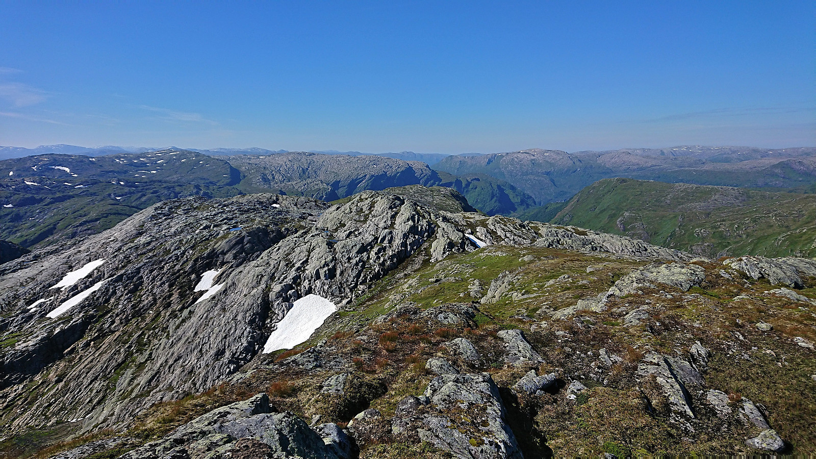 This Sunday I joined a hike organized by the Norwegian Trekking Association , more specifically Voss Utferdslag , from Voladammen to Afdal. Or rather I mainly joined the bus transportation at the start and end of the hike, as I had in advance gotten the OK to head off on my own in order to visit a couple of new summits in the area. After getting up very early in the morning, I therefore took the train to Voss where I joined up with the rest of hikers just before 09:00.
The drive up the winding gravel road from Brekkhus to Voladammen was described as an attraction in itself by Voss Utferdslag, which was even more true when done in a large bus with lots of narrow turns and two small tunnels that had to be traversed before reaching the parking lot next to the dam . Here I left the rest of the group and continued northwest on my own looking for the trail to Kvitanosi .
At first I struggled >>>
This Sunday I joined a hike organized by the Norwegian Trekking Association , more specifically Voss Utferdslag , from Voladammen to Afdal. Or rather I mainly joined the bus transportation at the start and end of the hike, as I had in advance gotten the OK to head off on my own in order to visit a couple of new summits in the area. After getting up very early in the morning, I therefore took the train to Voss where I joined up with the rest of hikers just before 09:00.
The drive up the winding gravel road from Brekkhus to Voladammen was described as an attraction in itself by Voss Utferdslag, which was even more true when done in a large bus with lots of narrow turns and two small tunnels that had to be traversed before reaching the parking lot next to the dam . Here I left the rest of the group and continued northwest on my own looking for the trail to Kvitanosi .
At first I struggled >>>
Cycling: Minde
- Dato:
- 13.08.2022
- Turtype:
- Gatesykling
- Turlengde:
- 2:13t
- Distanse:
- 28,7km
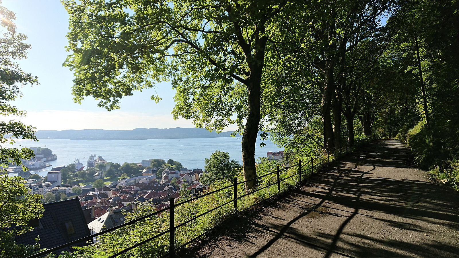 Short cycling trip exploring new parts around Minde after the dense morning fog had finally disappeared.
Hellen festning and Furukammen
- Dato:
- 10.08.2022
- Turtype:
- Fottur
- Turlengde:
- 1:00t
- Distanse:
- 5,0km
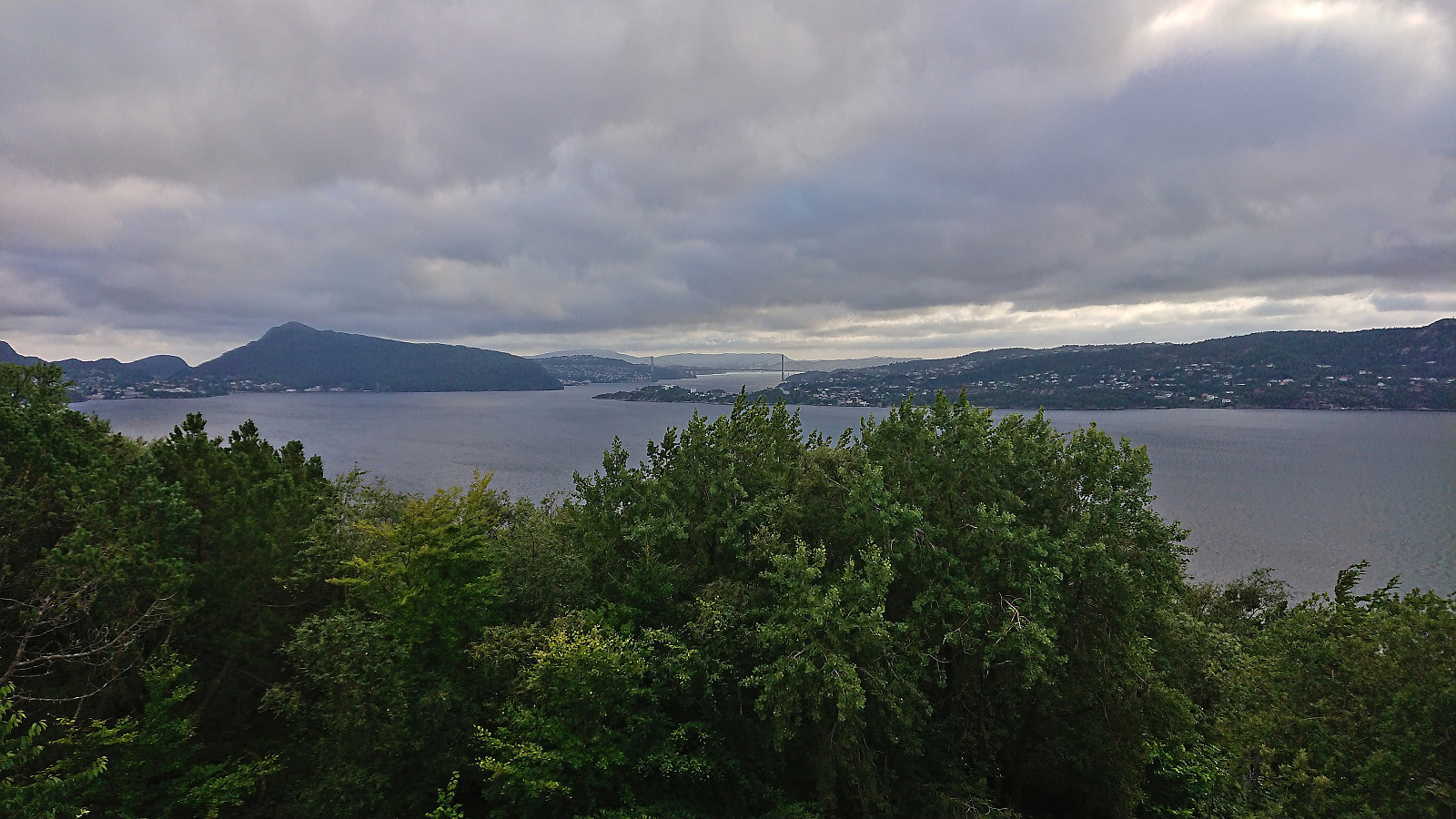 Short local evening hike after work.
Ørneberget and Furukammen
- Dato:
- 08.08.2022
- Turtype:
- Fjelltur
- Turlengde:
- 0:53t
- Distanse:
- 3,9km
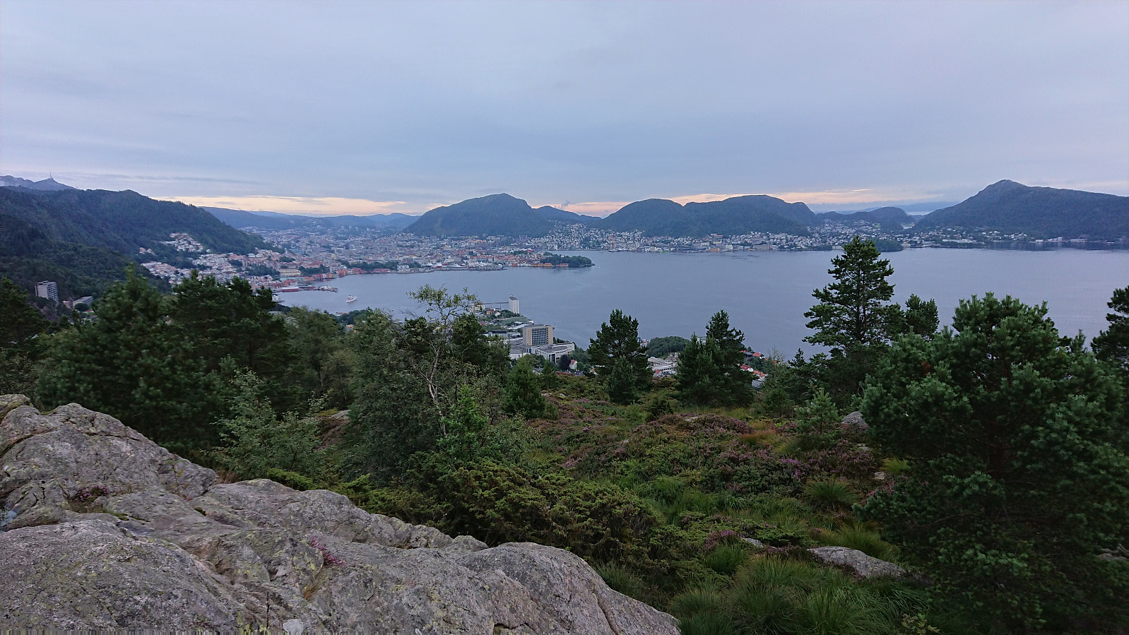 Short local evening hike after the first day back at work after the summer holiday.
Hellen festning and Furukammen
- Dato:
- 07.08.2022
- Turtype:
- Fottur
- Turlengde:
- 1:15t
- Distanse:
- 5,0km
 Short local evening hike on wet and gray Sunday.
Munkebotn and Hellemyrstien
- Dato:
- 06.08.2022
- Turtype:
- Fottur
- Turlengde:
- 1:07t
- Distanse:
- 5,8km
 Short local Saturday hike after spending all of yesterday hiking in Kvam.
Storåsen/Ljonesåsen from Innstrandavegen
- Dato:
- 05.08.2022
- Turtype:
- Fottur
- Turlengde:
- 1:04t
- Distanse:
- 4,8km
 After visiting Daurmålsegga , I took a short bus ride to Ljones for a quick visit of Storåsen/Ljonesåsen . Previous reports talk about having to bypass a fox fur farm to get to the summit, see for example elbow (Vegard Magnussen) 's report here . The fox farm was however apparently shut down in 2020 and I therefore hoped that I could simply follow the road all the way to the summit, which turned out to be the case. After passing a couple of houses, including green houses, I arrived at the opened gates to the empty fox farm and could simply pass through, out the open gates at the other side, and continue south and then north on the tractor road.
The road split just before reaching the summit from where a smaller road and later trail could be followed south towards the summit. Only a final few meters off-trail was then required to reach the highest point. >>>
After visiting Daurmålsegga , I took a short bus ride to Ljones for a quick visit of Storåsen/Ljonesåsen . Previous reports talk about having to bypass a fox fur farm to get to the summit, see for example elbow (Vegard Magnussen) 's report here . The fox farm was however apparently shut down in 2020 and I therefore hoped that I could simply follow the road all the way to the summit, which turned out to be the case. After passing a couple of houses, including green houses, I arrived at the opened gates to the empty fox farm and could simply pass through, out the open gates at the other side, and continue south and then north on the tractor road.
The road split just before reaching the summit from where a smaller road and later trail could be followed south towards the summit. Only a final few meters off-trail was then required to reach the highest point. >>>
Daurmålsegga from Oma via Raudkleiv
- Dato:
- 05.08.2022
- Turtype:
- Fjelltur
- Turlengde:
- 3:42t
- Distanse:
- 13,2km
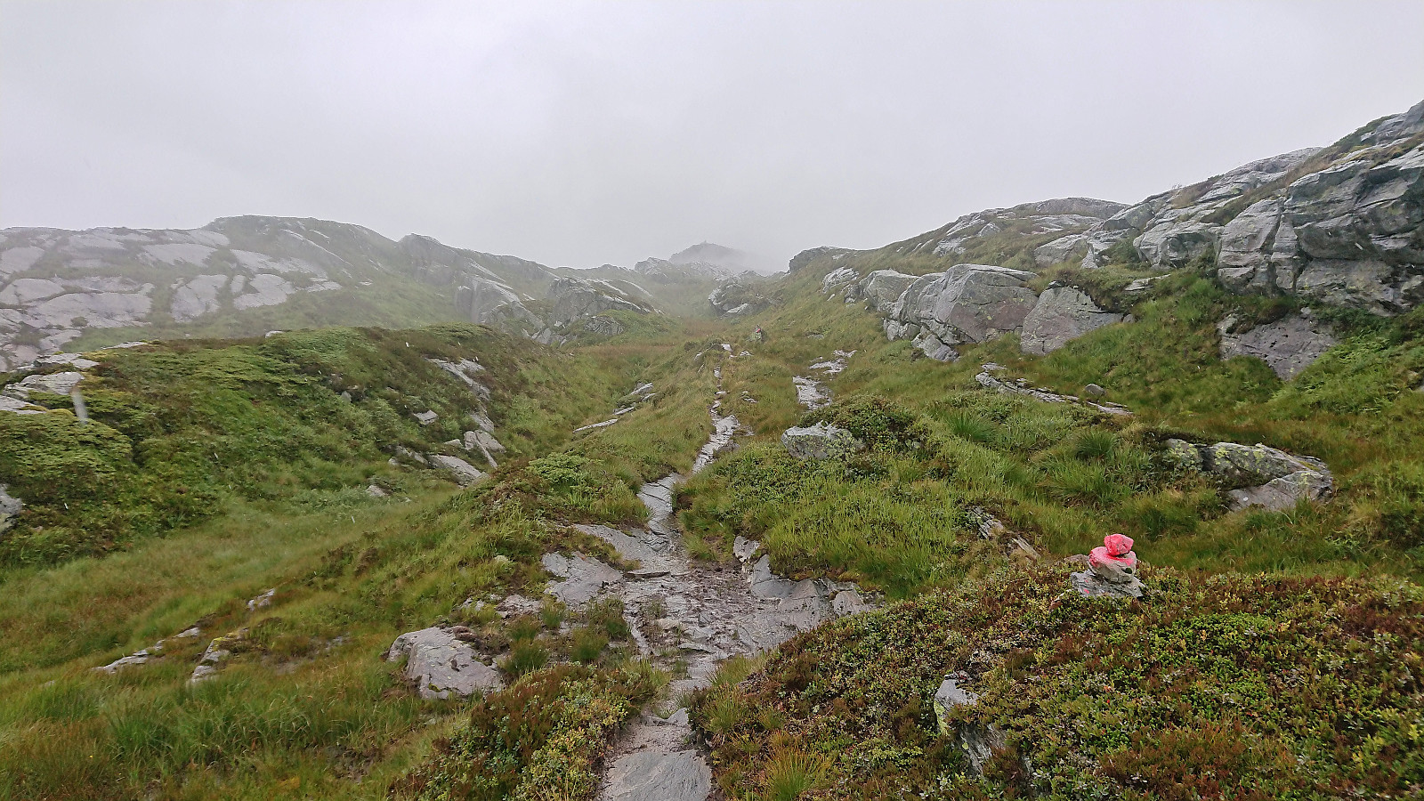 After two unsuccessful attempts at joining a DNT -organized hike across Daurmålsegga from Bolstad to Mundheimsdalen, once cancelled due to bad weather and once COVID restrictions got in the way, I decided to not wait any longer and go ahead on my own. Following the whole ridge would however not be possible and I would instead simply start from Oma and return the same way.
I started by taking the bus to Oma and following the road up to the trailhead at Halvgjenge p-plass , from where I followed the standard marked route via Raudkleiv to the summit of Daurmålsegga. Tractor road almost all the way to Raudkleiv and an easy to follow trail from there all the way to the top, with only a small bit of easy scrambling to reach the summit cairn.
As got to the summit a dense fog had appeared and thus there were next to no views. I decided to wait >>>
After two unsuccessful attempts at joining a DNT -organized hike across Daurmålsegga from Bolstad to Mundheimsdalen, once cancelled due to bad weather and once COVID restrictions got in the way, I decided to not wait any longer and go ahead on my own. Following the whole ridge would however not be possible and I would instead simply start from Oma and return the same way.
I started by taking the bus to Oma and following the road up to the trailhead at Halvgjenge p-plass , from where I followed the standard marked route via Raudkleiv to the summit of Daurmålsegga. Tractor road almost all the way to Raudkleiv and an easy to follow trail from there all the way to the top, with only a small bit of easy scrambling to reach the summit cairn.
As got to the summit a dense fog had appeared and thus there were next to no views. I decided to wait >>>
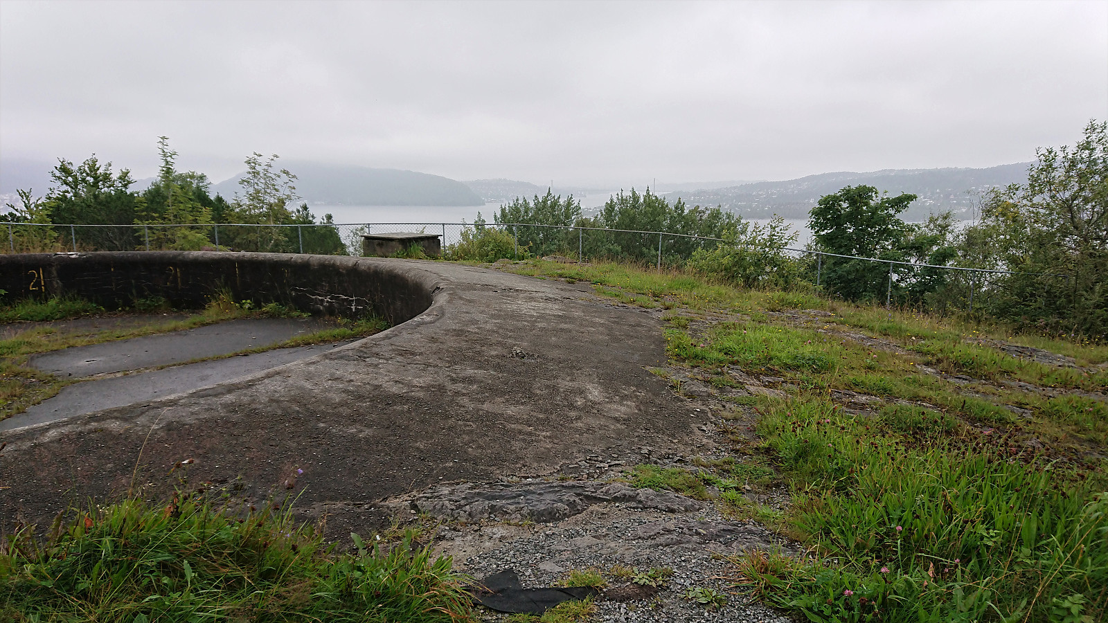
Across Hellen festning
- Dato:
- 04.08.2022
- Turtype:
- Fottur
- Turlengde:
- 0:37t
- Distanse:
- 3,2km
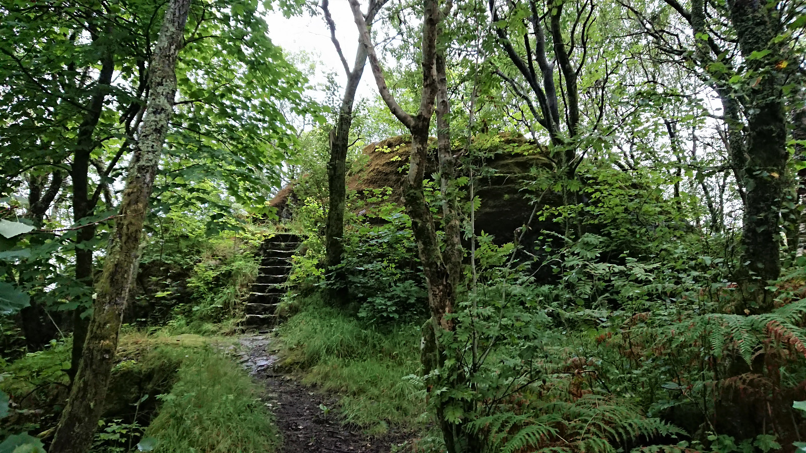 Short local evening hike.
Hellen festning and Furukammen
- Dato:
- 03.08.2022
- Turtype:
- Fottur
- Turlengde:
- 1:01t
- Distanse:
- 5,0km
 Short local hike on a gray Wednesday.
