Archiv - Nach Datum
Archiv - Nach Aktivität
-
Andere Tour (3)
- Kayaking (3)
-
Fahrradtour (111)
- Fahrradtour Straße (86)
- Fahrradtour gemischt (25)
-
Fahrzeugtour (9)
- Autotour (9)
-
Fußtour (1897)
- Bergtour (1120)
- Jogging (1)
- Spaziergang (60)
- Wanderung (716)
-
Skitour (116)
- Langlauf (47)
- Tourenskilauf (69)
Gesammelte Listen
-
Utvalgte topper og turmål i Bergen
(349/351)
 99%
99% -
Alle topper i Bergen
(393/400)
98%
-
Voss ≥ 100m pf.
(96/98)
97%
-
Opptur Hordaland
(144/159)
90%
-
Stasjoner på Bergensbanen
(33/40)
82%
-
Ulvik ≥ 100m pf.
(30/38)
78%
-
Hordaland ≥ 100m pf.
(624/863)
72%
-
Mjølfjell PF > 100m
(21/31)
67%
-
Jondal ≥ 100m pf.
(15/23)
65%
-
Dagsturhyttene i Vestland
(36/61)
59%
-
Sunnhordland PF >= 100m
(105/186)
56%
-
Hordaland: Hardanger PF>=100m
(196/359)
54%
-
DNT-hytter i Hordaland
(23/45)
51%
-
Kvinnherad ≥ 100m pf.
(40/79)
50%
-
Eidfjord ≥ 100m pf.
(13/42)
30%
-
Sogndal ≥ 100m pf.
(23/81)
28%
-
Gulen ≥ 100m pf.
(15/54)
27%
-
Vik i Sogn ≥ 100m pf.
(10/46)
21%
-
Sogn - Sør for Sognefjorden PF>=100m
(31/159)
19%
-
DNT-hytter i Sogn og Fjordane
(8/47)
17%

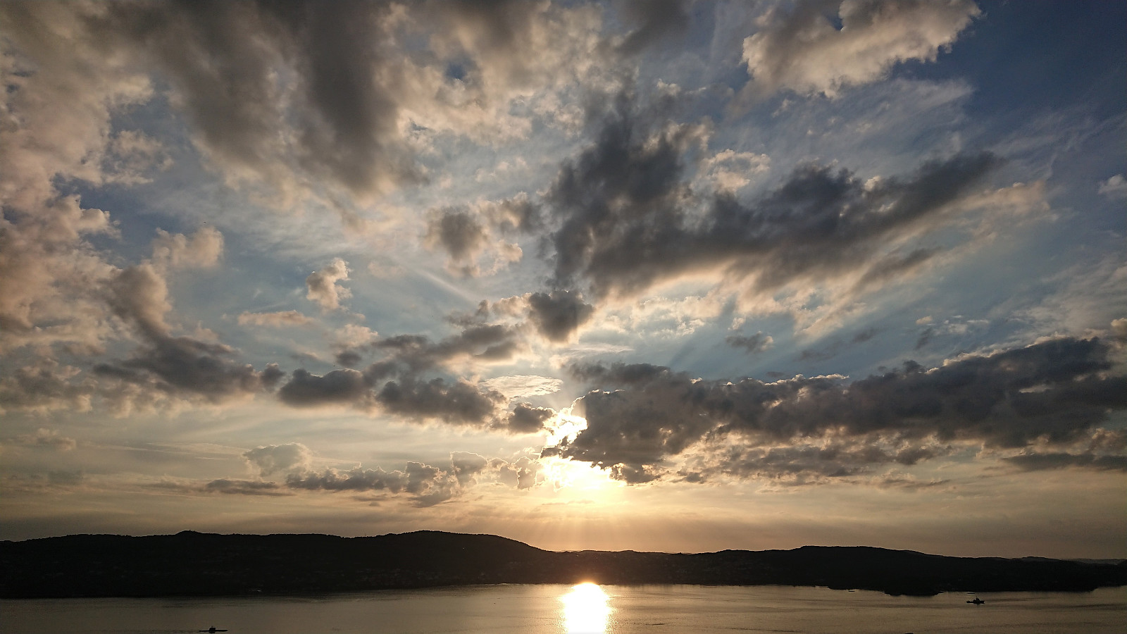
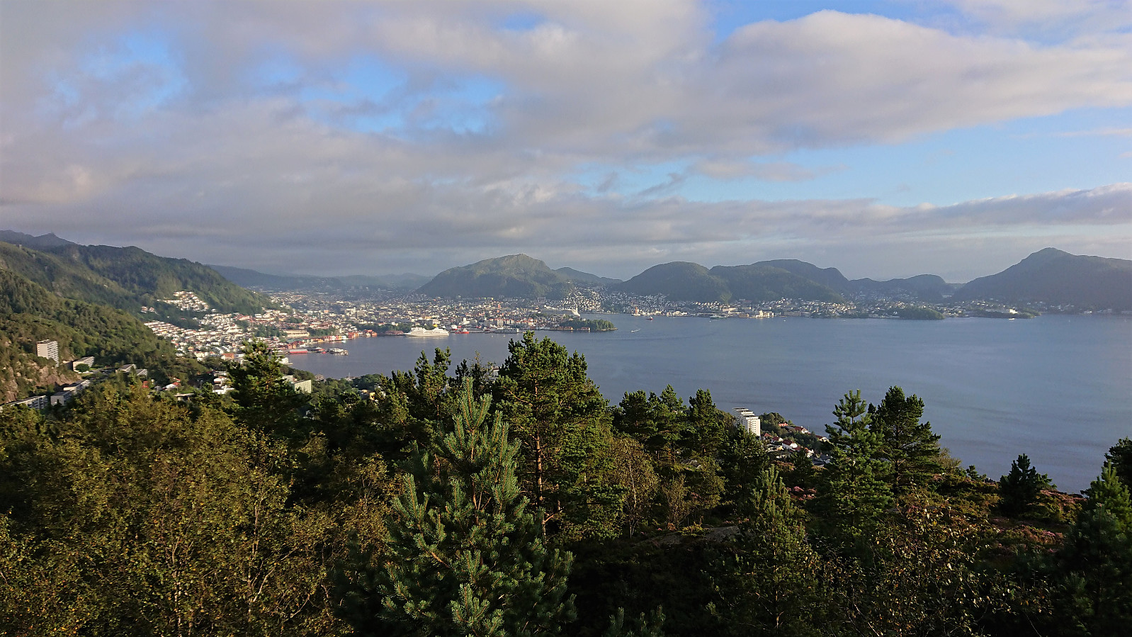
Across Hellen festning
- Datum:
- 29.08.2022
- Tourcharakter:
- Wanderung
- Tourlänge:
- 0:30h
- Entfernung:
- 2,4km
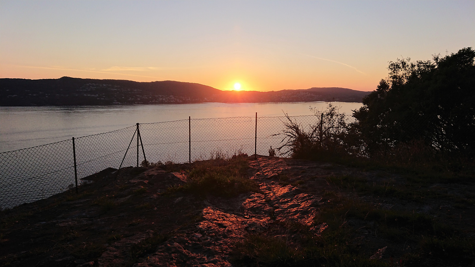 Short local evening hike.
Cycling: Sætrafjellet and Tveitaslottet
- Datum:
- 28.08.2022
- Tourcharakter:
- Fahrradtour gemischt
- Tourlänge:
- 4:02h
- Entfernung:
- 40,1km
 After yesterday's long hike in Granvin , I switched to cycling with the goal of visiting one of the two remaining summits on the Fitjar ≥ 100m pf. list, namely Sætrafjellet . I started by cycling to the Bergen city center and taking the bike with me on the bus to Halhjem. This was my first experience of bringing my bike on a bus and I have to admit that I felt a bit out of place, with the added bonus of constantly being worried that the next stop would be full of passengers in more need of the space than me and my bike. Thankfully this did not happen and I arrived at Halhjem without any real issues, thus saving both loads of time and, equally important, resting my tired legs from yesterday.
From Halhjem, I got on the ferry to Sandvikvåg and 45 minutes later I was finally ready to start the real trip. I first cycled along the main road via Fitjar to south >>>
After yesterday's long hike in Granvin , I switched to cycling with the goal of visiting one of the two remaining summits on the Fitjar ≥ 100m pf. list, namely Sætrafjellet . I started by cycling to the Bergen city center and taking the bike with me on the bus to Halhjem. This was my first experience of bringing my bike on a bus and I have to admit that I felt a bit out of place, with the added bonus of constantly being worried that the next stop would be full of passengers in more need of the space than me and my bike. Thankfully this did not happen and I arrived at Halhjem without any real issues, thus saving both loads of time and, equally important, resting my tired legs from yesterday.
From Halhjem, I got on the ferry to Sandvikvåg and 45 minutes later I was finally ready to start the real trip. I first cycled along the main road via Fitjar to south >>>
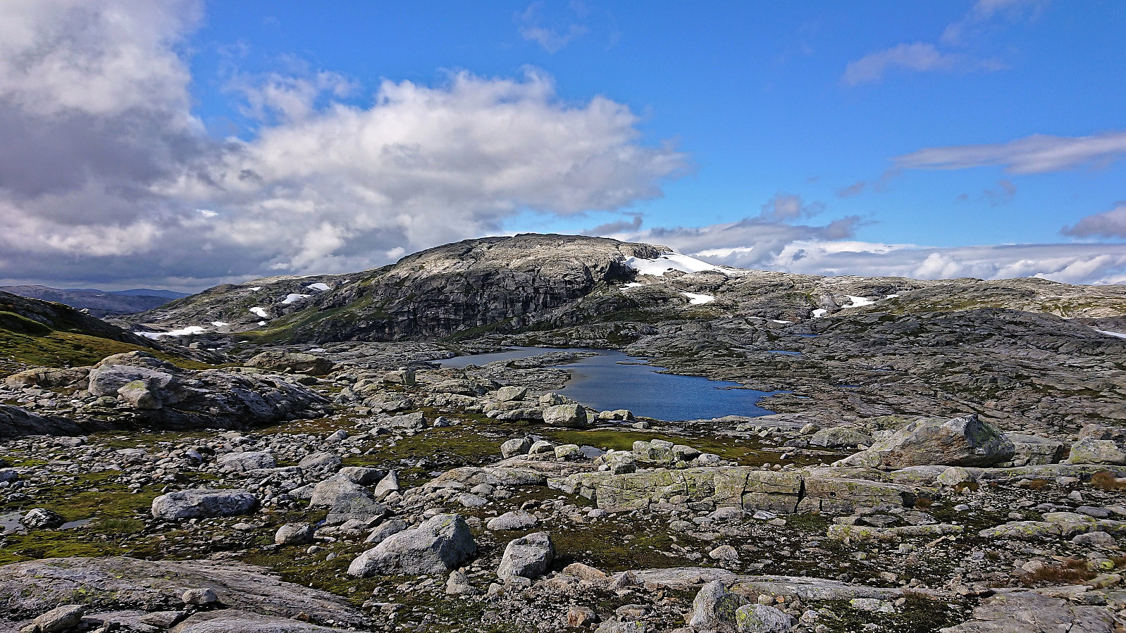
Høgahorgi, Horganipen and Steinsethorgi
- Datum:
- 27.08.2022
- Tourcharakter:
- Bergtour
- Tourlänge:
- 8:26h
- Entfernung:
- 31,3km
 For the third weekend in a row I returned to Voss, but this time on my own and not as part of an organized hike. I started by taking the train to Voss and the bus towards Granvin, getting off at Bulkokrysset. From there I followed the road up to the large parking lot at Madshaugen where I easily located the unmarked trailhead for Høgahorgi . Note that Høgahorgi is also referred to as Nesheimshorgi, where Nesheimshorgi seems to refer to the whole mountain while Høgahorgi to the highest point.
The initial trail quality was very good, but this only lasted until passing the first cabin. After that the trail turned wet and muddy, and I quickly gave up keeping my feet dry. I soon came across another hiker and took the chance to ask for some trail advice, where the most important was to make sure to visit Horganipen for the best >>>
For the third weekend in a row I returned to Voss, but this time on my own and not as part of an organized hike. I started by taking the train to Voss and the bus towards Granvin, getting off at Bulkokrysset. From there I followed the road up to the large parking lot at Madshaugen where I easily located the unmarked trailhead for Høgahorgi . Note that Høgahorgi is also referred to as Nesheimshorgi, where Nesheimshorgi seems to refer to the whole mountain while Høgahorgi to the highest point.
The initial trail quality was very good, but this only lasted until passing the first cabin. After that the trail turned wet and muddy, and I quickly gave up keeping my feet dry. I soon came across another hiker and took the chance to ask for some trail advice, where the most important was to make sure to visit Horganipen for the best >>>
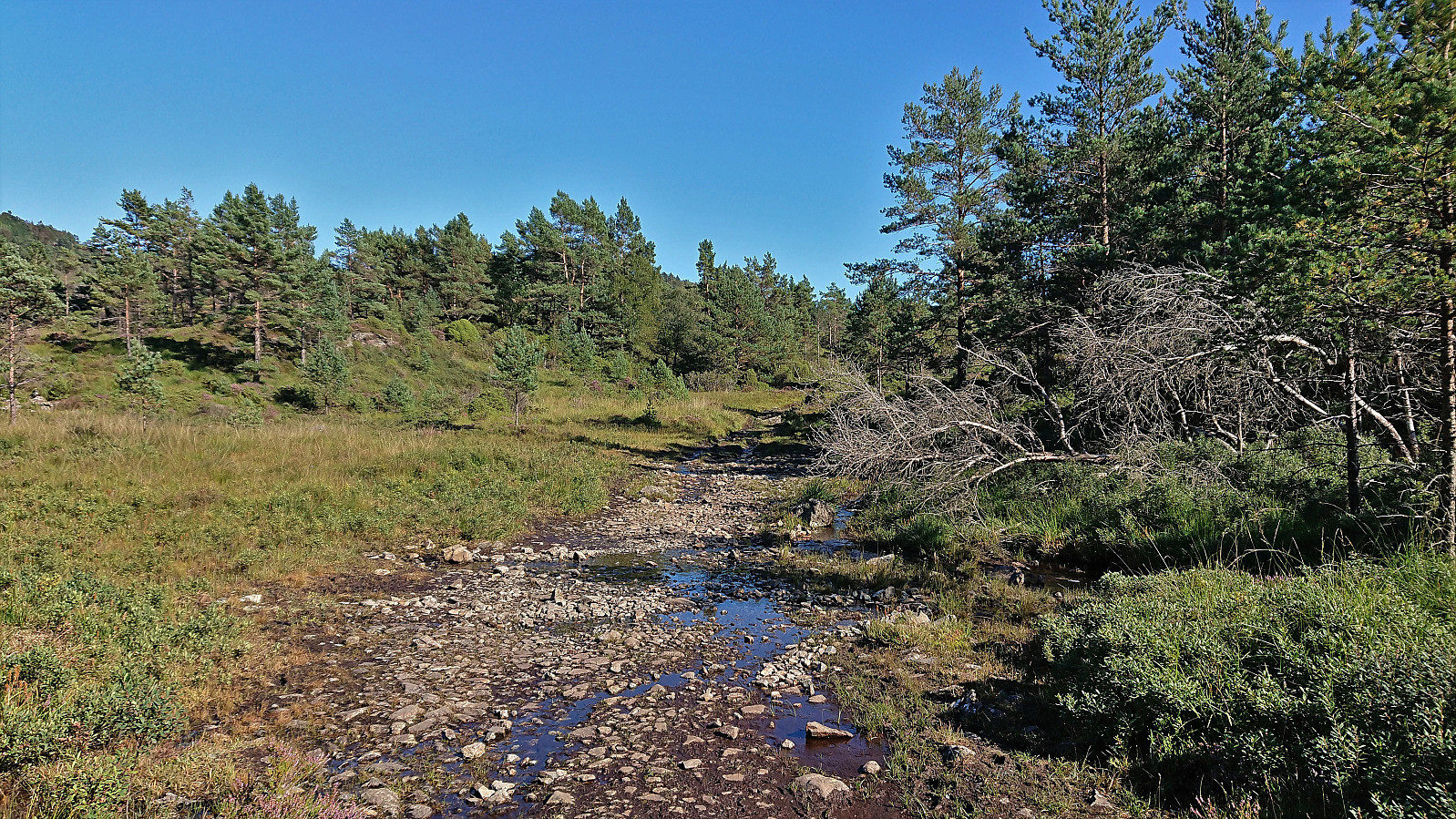
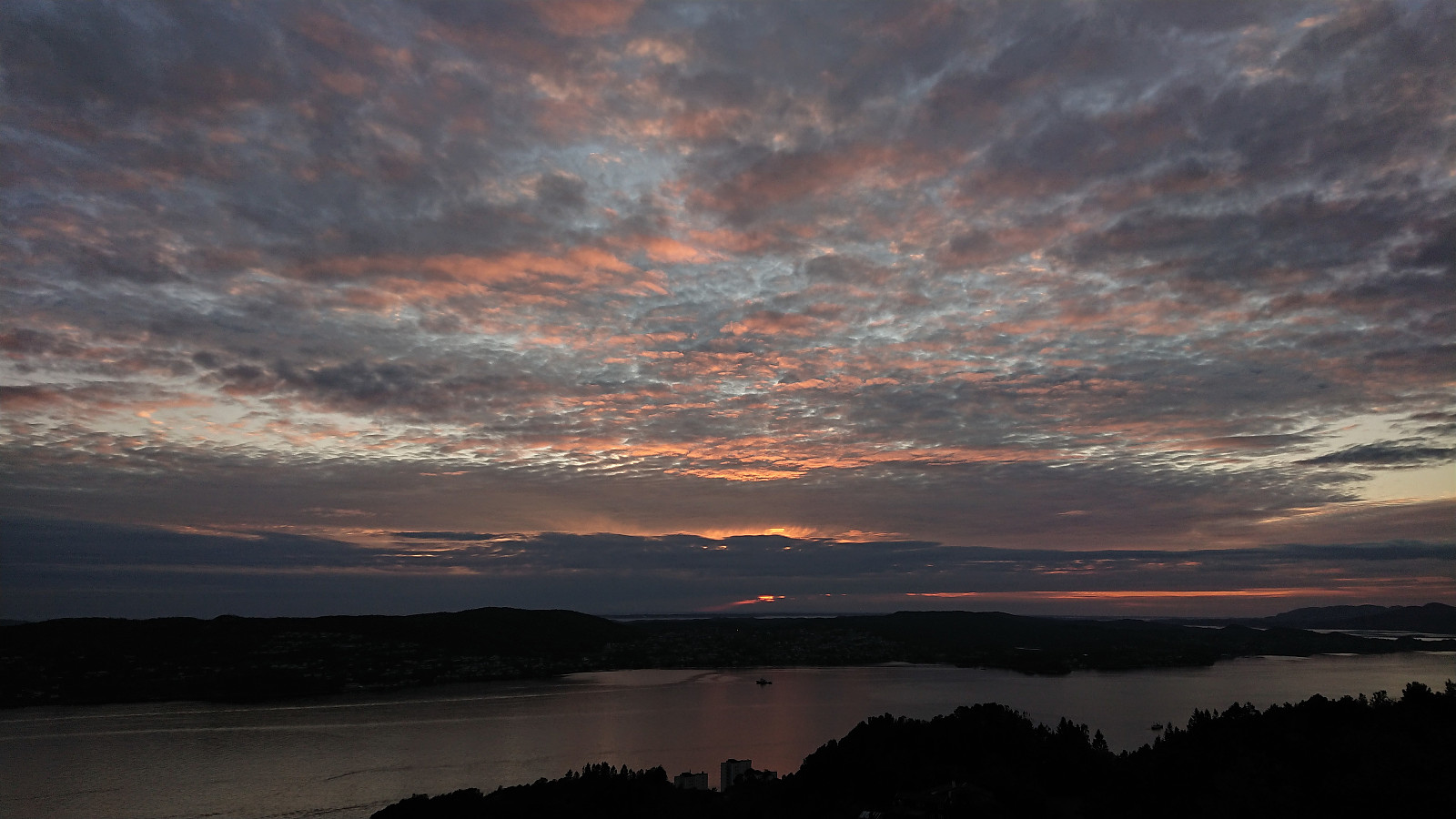
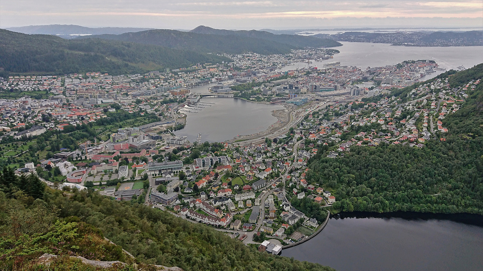
Hellen festning and Furukammen
- Datum:
- 24.08.2022
- Tourcharakter:
- Wanderung
- Tourlänge:
- 0:58h
- Entfernung:
- 5,0km
 Short local evening hike.
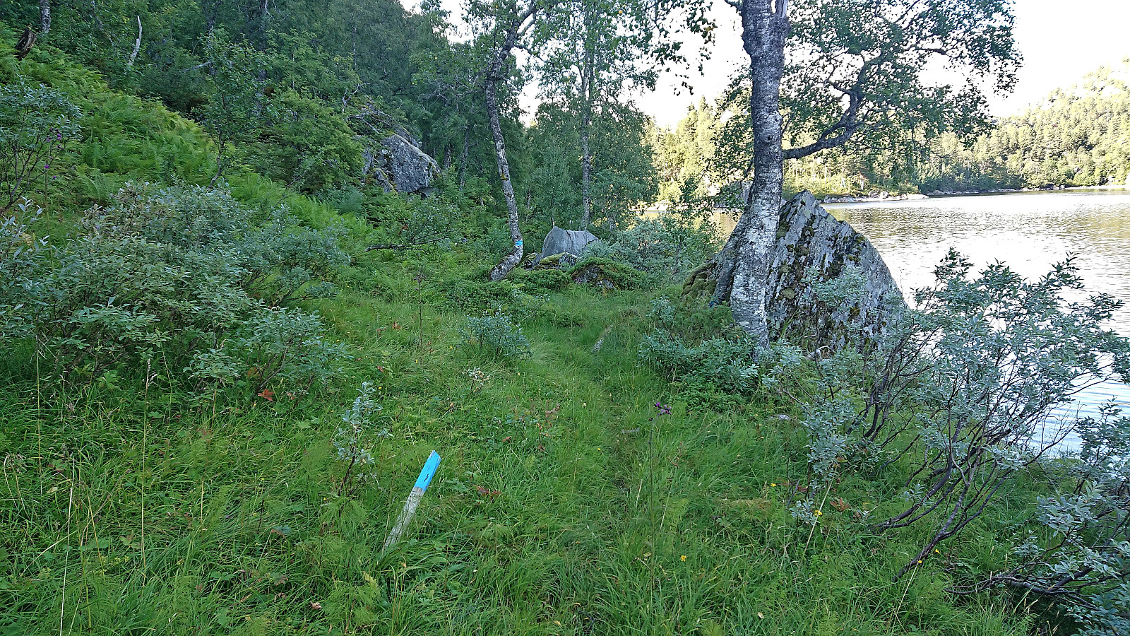
Fagerdalsfjellet, Ørneberget NV and Hellemyrstien
- Datum:
- 23.08.2022
- Tourcharakter:
- Bergtour
- Tourlänge:
- 1:24h
- Entfernung:
- 6,7km
 Short local evening hike.
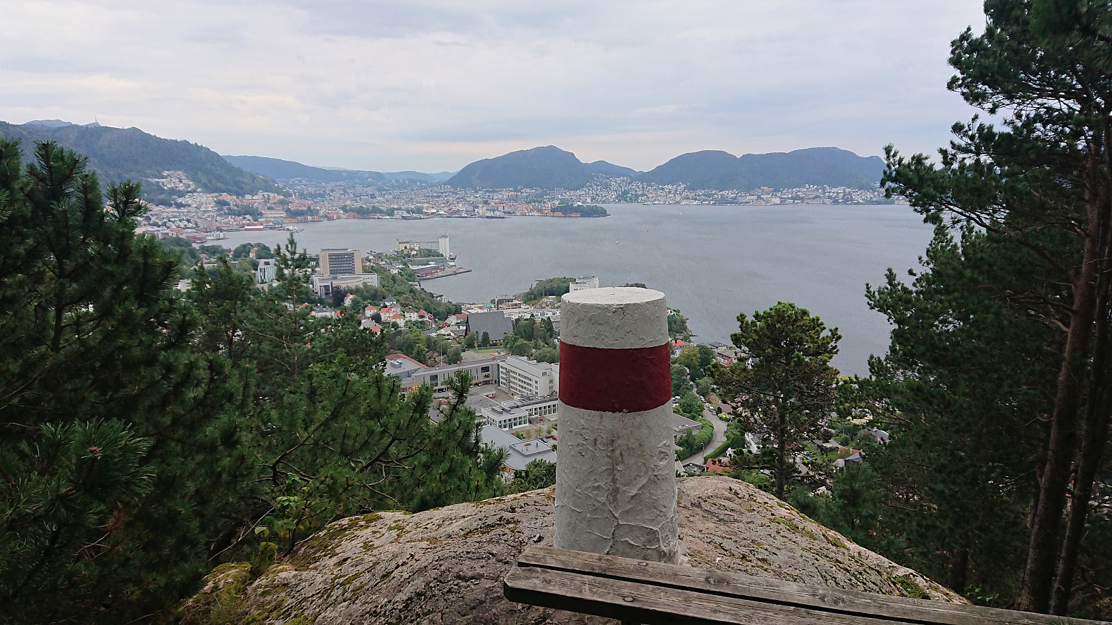
Ørneberget and Furukammen
- Datum:
- 22.08.2022
- Tourcharakter:
- Bergtour
- Tourlänge:
- 0:59h
- Entfernung:
- 4,1km
 Short local evening hike.
Hellen festning and Helleneset
- Datum:
- 21.08.2022
- Tourcharakter:
- Wanderung
- Tourlänge:
- 0:49h
- Entfernung:
- 4,0km
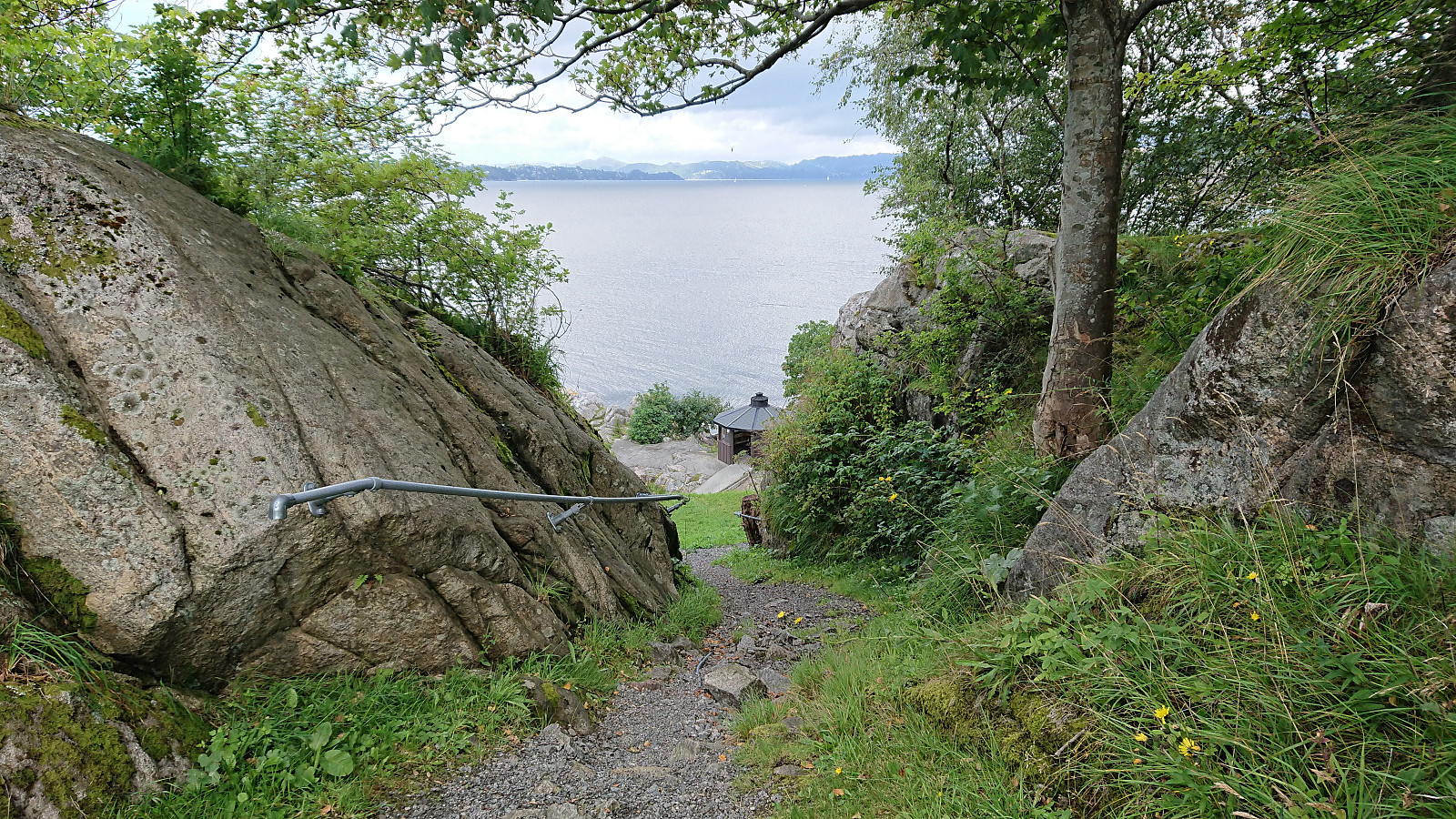 Short local Sunday hike after yesterday's long hike in Voss.
Vossamarsjen 2022 + Hjortahorgi and Skjemmehorgi
- Datum:
- 20.08.2022
- Tourcharakter:
- Bergtour
- Tourlänge:
- 7:09h
- Entfernung:
- 29,8km
 Vossamarsjen is a yearly hike organized by the Norwegian Trekking Association , or more specifically Voss Utferdslag , starting from Hodnaberg and following the T-marked trail via Torfinnsheim , Timaglaset , Gråsidetoppen and Roset , before ending up at Gjelle. After last year's success of combining Vossamarsjen with visits of Skorane, Nansenbu and Torfinnshorgi , I decided to have another go, but this time making an even longer detour and instead including a visit of Hjortahorgi .
After getting up very early on the Saturday morning, I took the train to Voss, where I almost missed the last organized bus to Hodnaberg due to the train leaving twenty minutes late from Bergen. The bus arrived at Hodnaberg just after half past nine and I was finally ready to start hiking. I started by following the standard route via the three first check points at Torfinnsheim, Dalsgrovi and Timaglaset, but instead of continuing northeast to the fourth checkpoint at Gråsidetoppen, I turned south along the marked trail to Nansenbu.
Vossamarsjen is a yearly hike organized by the Norwegian Trekking Association , or more specifically Voss Utferdslag , starting from Hodnaberg and following the T-marked trail via Torfinnsheim , Timaglaset , Gråsidetoppen and Roset , before ending up at Gjelle. After last year's success of combining Vossamarsjen with visits of Skorane, Nansenbu and Torfinnshorgi , I decided to have another go, but this time making an even longer detour and instead including a visit of Hjortahorgi .
After getting up very early on the Saturday morning, I took the train to Voss, where I almost missed the last organized bus to Hodnaberg due to the train leaving twenty minutes late from Bergen. The bus arrived at Hodnaberg just after half past nine and I was finally ready to start hiking. I started by following the standard route via the three first check points at Torfinnsheim, Dalsgrovi and Timaglaset, but instead of continuing northeast to the fourth checkpoint at Gråsidetoppen, I turned south along the marked trail to Nansenbu.
Ulrikseggen
- Datum:
- 18.08.2022
- Tourcharakter:
- Bergtour
- Tourlänge:
- 3:04h
- Entfernung:
- 9,2km
 Short hike after work with a couple of colleagues.
Ørneberget and Hellen festning
- Datum:
- 17.08.2022
- Tourcharakter:
- Bergtour
- Tourlänge:
- 1:26h
- Entfernung:
- 4,7km
 Short local evening hike.
