Archiv - Nach Datum
Archiv - Nach Aktivität
-
Andere Tour (3)
- Kayaking (3)
-
Fahrradtour (111)
- Fahrradtour Straße (86)
- Fahrradtour gemischt (25)
-
Fahrzeugtour (9)
- Autotour (9)
-
Fußtour (1897)
- Bergtour (1120)
- Jogging (1)
- Spaziergang (60)
- Wanderung (716)
-
Skitour (116)
- Langlauf (47)
- Tourenskilauf (69)
Gesammelte Listen
-
Utvalgte topper og turmål i Bergen
(349/351)
 99%
99% -
Alle topper i Bergen
(393/400)
98%
-
Voss ≥ 100m pf.
(96/98)
97%
-
Opptur Hordaland
(144/159)
90%
-
Stasjoner på Bergensbanen
(33/40)
82%
-
Ulvik ≥ 100m pf.
(30/38)
78%
-
Hordaland ≥ 100m pf.
(624/863)
72%
-
Mjølfjell PF > 100m
(21/31)
67%
-
Jondal ≥ 100m pf.
(15/23)
65%
-
Dagsturhyttene i Vestland
(36/61)
59%
-
Sunnhordland PF >= 100m
(105/186)
56%
-
Hordaland: Hardanger PF>=100m
(196/359)
54%
-
DNT-hytter i Hordaland
(23/45)
51%
-
Kvinnherad ≥ 100m pf.
(40/79)
50%
-
Eidfjord ≥ 100m pf.
(13/42)
30%
-
Sogndal ≥ 100m pf.
(23/81)
28%
-
Gulen ≥ 100m pf.
(15/54)
27%
-
Vik i Sogn ≥ 100m pf.
(10/46)
21%
-
Sogn - Sør for Sognefjorden PF>=100m
(31/159)
19%
-
DNT-hytter i Sogn og Fjordane
(8/47)
17%

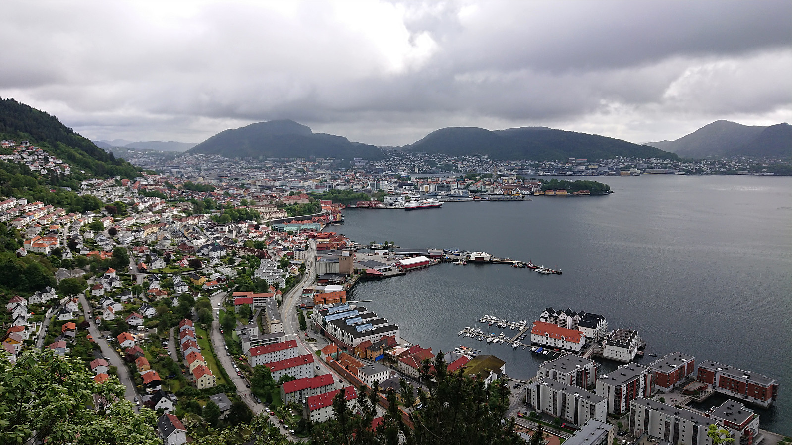
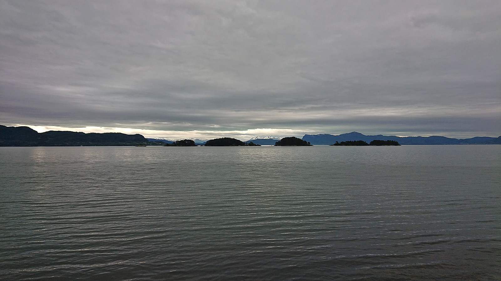
Sandviksbatteriet, Hellemyrstien and Hellen festning
- Datum:
- 29.05.2022
- Tourcharakter:
- Wanderung
- Tourlänge:
- 1:23h
- Entfernung:
- 6,5km
 Local hike on a Sunday with highly variable weather from light rain showers to longer periods of sunshine.
Melstveitåsen and Økterberg from Fyksesundvegen via Berge
- Datum:
- 28.05.2022
- Tourcharakter:
- Bergtour
- Tourlänge:
- 2:47h
- Entfernung:
- 9,3km
 Earlier trip reports indicate that the summit of Melstveitåsen is a location that most hikers will probably not feel the need to visit. However, upon researching how to get to Melstveitåsen by public transport, I came across a suggested hike at ut.no promising excellent views from Økterberg , a location only 600 meters northeast of the summit, which I then of course had to add to my planned hike.
But even with this addition, and the fact that my hike had to start from the bus stop at the main road, the hike would still be quite short. I therefore decided to add a sightseeing element and arrive at the trailhead via first taking the train to Voss and from there the bus via Granvin. This provided excellent views along the way, especially the drive along the fjords, and as a bonus made it into a roundtrip.
Upon finally arriving at the bus stop >>>
Earlier trip reports indicate that the summit of Melstveitåsen is a location that most hikers will probably not feel the need to visit. However, upon researching how to get to Melstveitåsen by public transport, I came across a suggested hike at ut.no promising excellent views from Økterberg , a location only 600 meters northeast of the summit, which I then of course had to add to my planned hike.
But even with this addition, and the fact that my hike had to start from the bus stop at the main road, the hike would still be quite short. I therefore decided to add a sightseeing element and arrive at the trailhead via first taking the train to Voss and from there the bus via Granvin. This provided excellent views along the way, especially the drive along the fjords, and as a bonus made it into a roundtrip.
Upon finally arriving at the bus stop >>>
Ørneberget and Hellemyrstien
- Datum:
- 27.05.2022
- Tourcharakter:
- Bergtour
- Tourlänge:
- 1:24h
- Entfernung:
- 7,0km
 Local evening hike after work.
Prestakvilet from Ådland kyrkje
- Datum:
- 25.05.2022
- Tourcharakter:
- Wanderung
- Tourlänge:
- 1:23h
- Entfernung:
- 4,8km
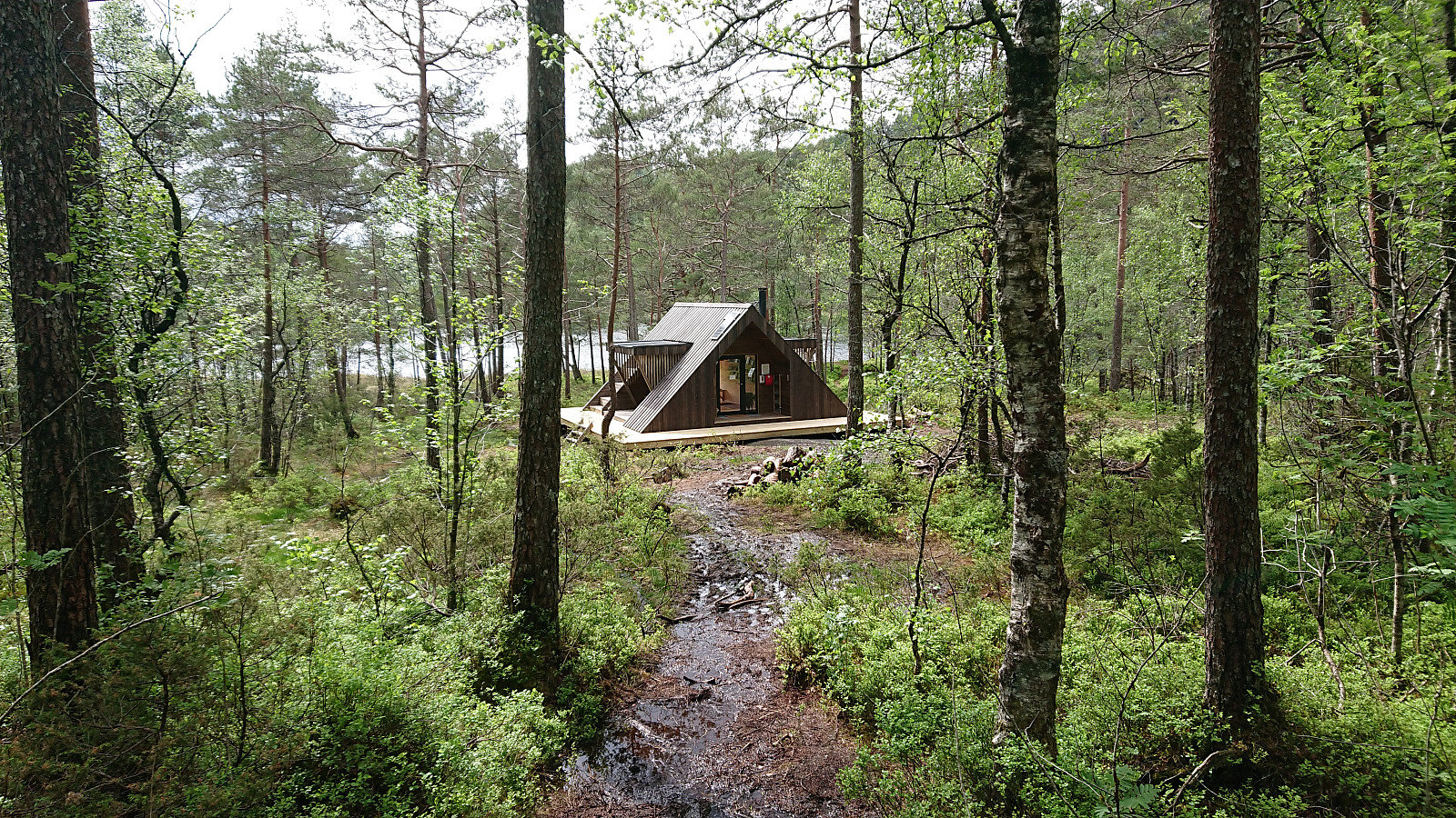 After a meeting at Solstrand , me and yehiamokhtarfarag (Yehia Mokhtar Farag) made a detour on the way back to Bergen for a quick visit of Prestakvilet . We parked outside Ådland kyrkje and from there followed the indicated route. The trail got a bit wet towards the end, in particularly the final few meters to the cabin, but was otherwise straightforward to follow. Limited views for the last half of the hike, although still enjoyable. Prestakvilet was at an excellent location right next to Kvernesvatnet and overall made for a nice trip objective, especially on a day when the weather put a stop to more ambitious plans.
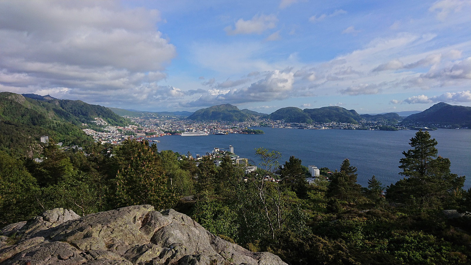
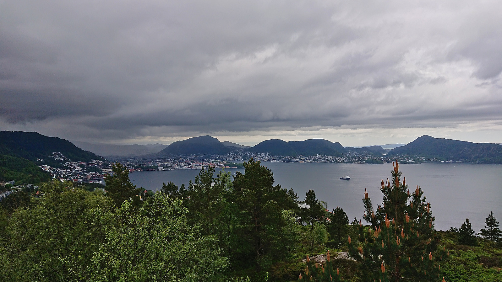
Moldaneset from Solstrand
- Datum:
- 24.05.2022
- Tourcharakter:
- Wanderung
- Tourlänge:
- 1:48h
- Entfernung:
- 5,0km
 A revisit of Moldaneset when attending yet another meeting at Solstrand , but this time as an official social event in the program with me showing the way. Thankfully we were lucky with the weather and avoided the rain showers from earlier in the day. The low-hanging clouds even lifted enough so that we could see the snow-capped mountains across the fjord.
Raunelifjellet from Grøssviki
- Datum:
- 22.05.2022
- Tourcharakter:
- Bergtour
- Tourlänge:
- 3:45h
- Entfernung:
- 6,6km
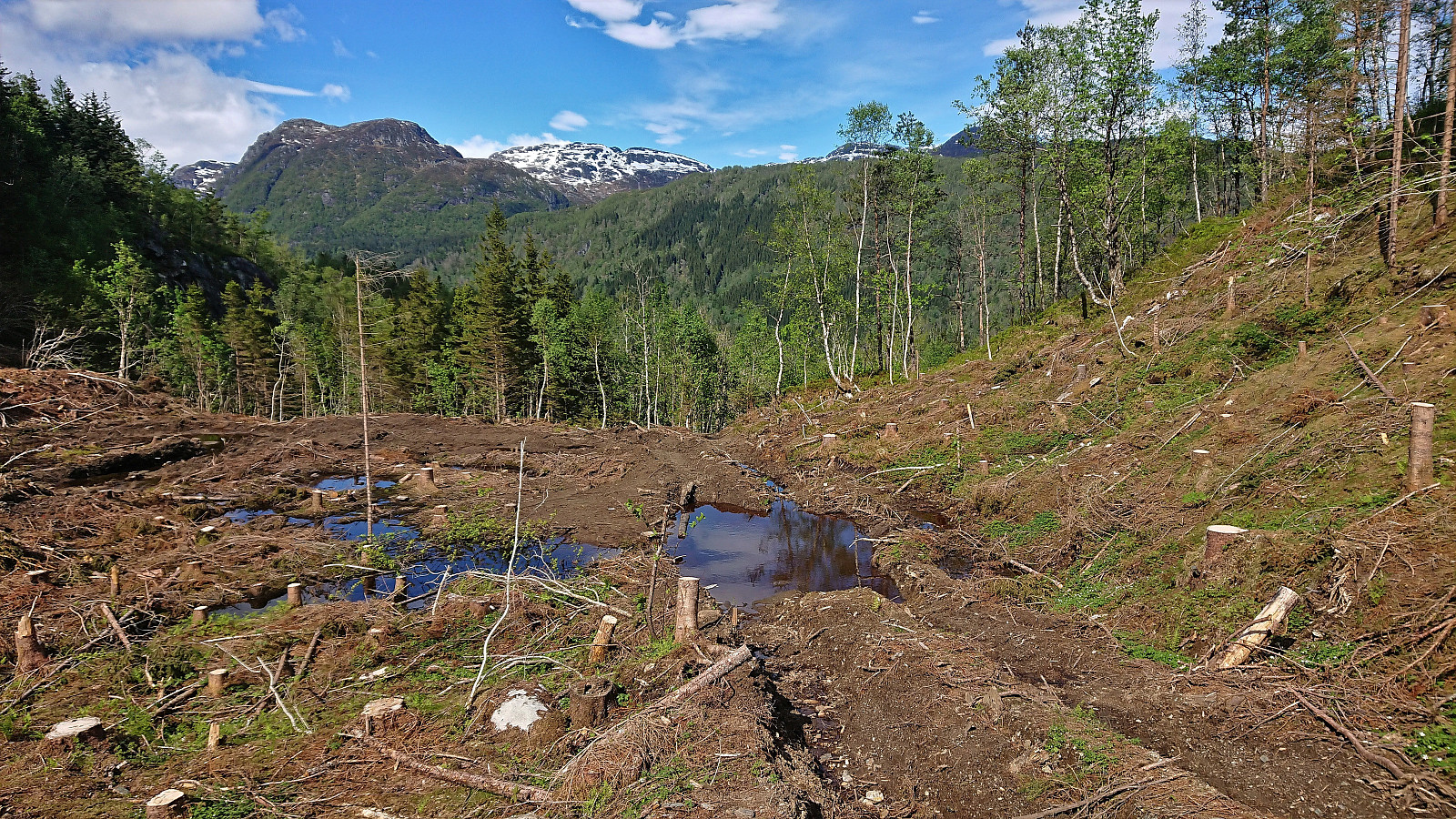
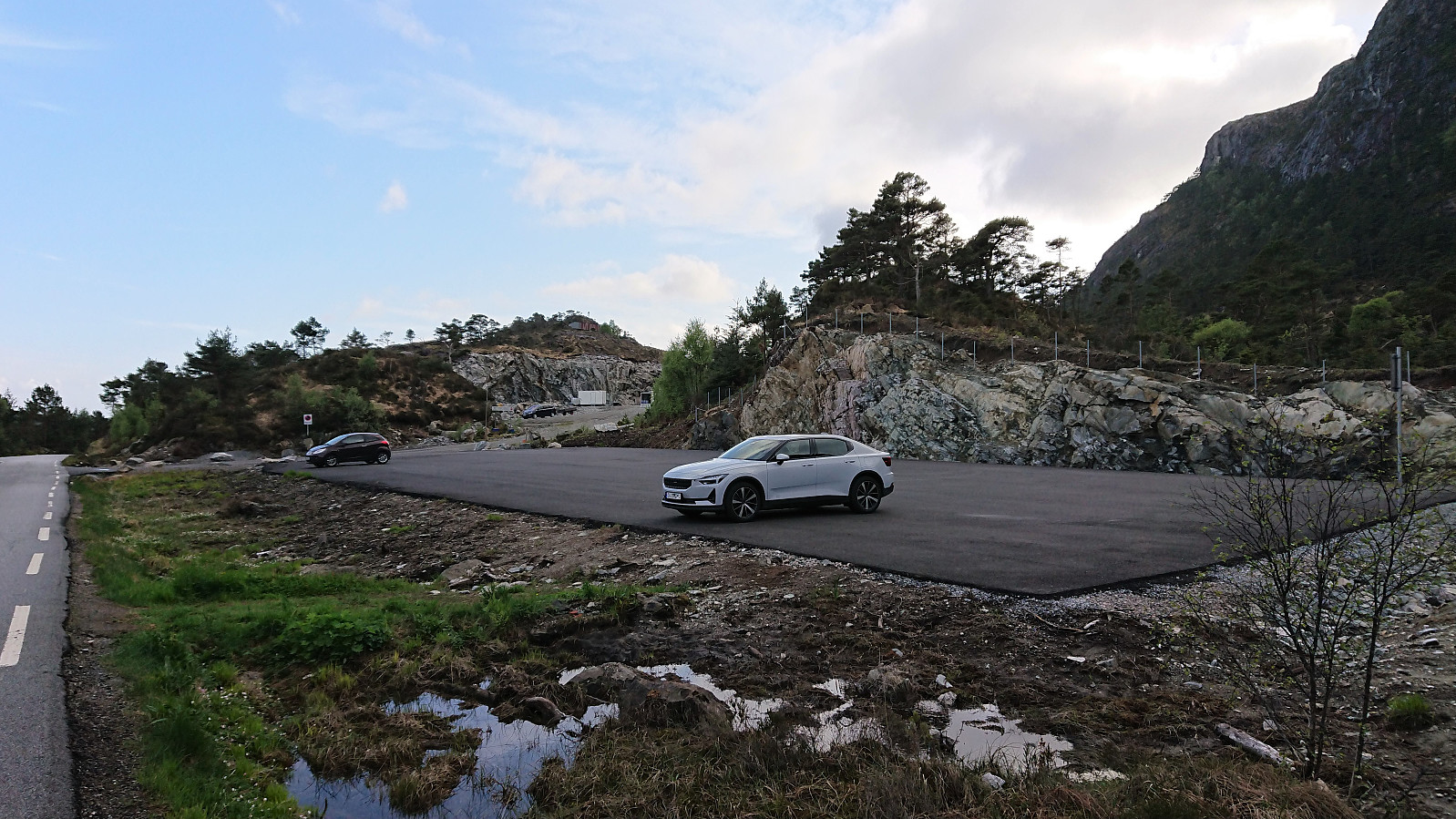
 For almost two years, Raunelifjellet had been my only remaining summit on the Osterøy ≥ 100m pf. list . When Kjell51 (Kjell Øijorden) suggested a joint trip to Raunelifjellet, I therefore of course eagerly agreed. After reading previous trip reports, we decided to go for an ascent from Grøssviki northeast of the summit, thus following in the footsteps of elbow (Vegard Magnussen) and arntfla (Arnt Flatmo) . (See their trip reports here and here .)
We found parking at the start of a tractor road beginning in the first hairpin turn on the road up from Grøssviki. Plenty of room here for a single car, without blocking neither of the two roads. Here we left the car behind and continued on foot along a tractor road that did not seem to be very frequently used. Soon we left the tractor road behind and continued southwest on a weak road/trail that shortly came to an end. From there on, we followed various deer tracks >>>
For almost two years, Raunelifjellet had been my only remaining summit on the Osterøy ≥ 100m pf. list . When Kjell51 (Kjell Øijorden) suggested a joint trip to Raunelifjellet, I therefore of course eagerly agreed. After reading previous trip reports, we decided to go for an ascent from Grøssviki northeast of the summit, thus following in the footsteps of elbow (Vegard Magnussen) and arntfla (Arnt Flatmo) . (See their trip reports here and here .)
We found parking at the start of a tractor road beginning in the first hairpin turn on the road up from Grøssviki. Plenty of room here for a single car, without blocking neither of the two roads. Here we left the car behind and continued on foot along a tractor road that did not seem to be very frequently used. Soon we left the tractor road behind and continued southwest on a weak road/trail that shortly came to an end. From there on, we followed various deer tracks >>>
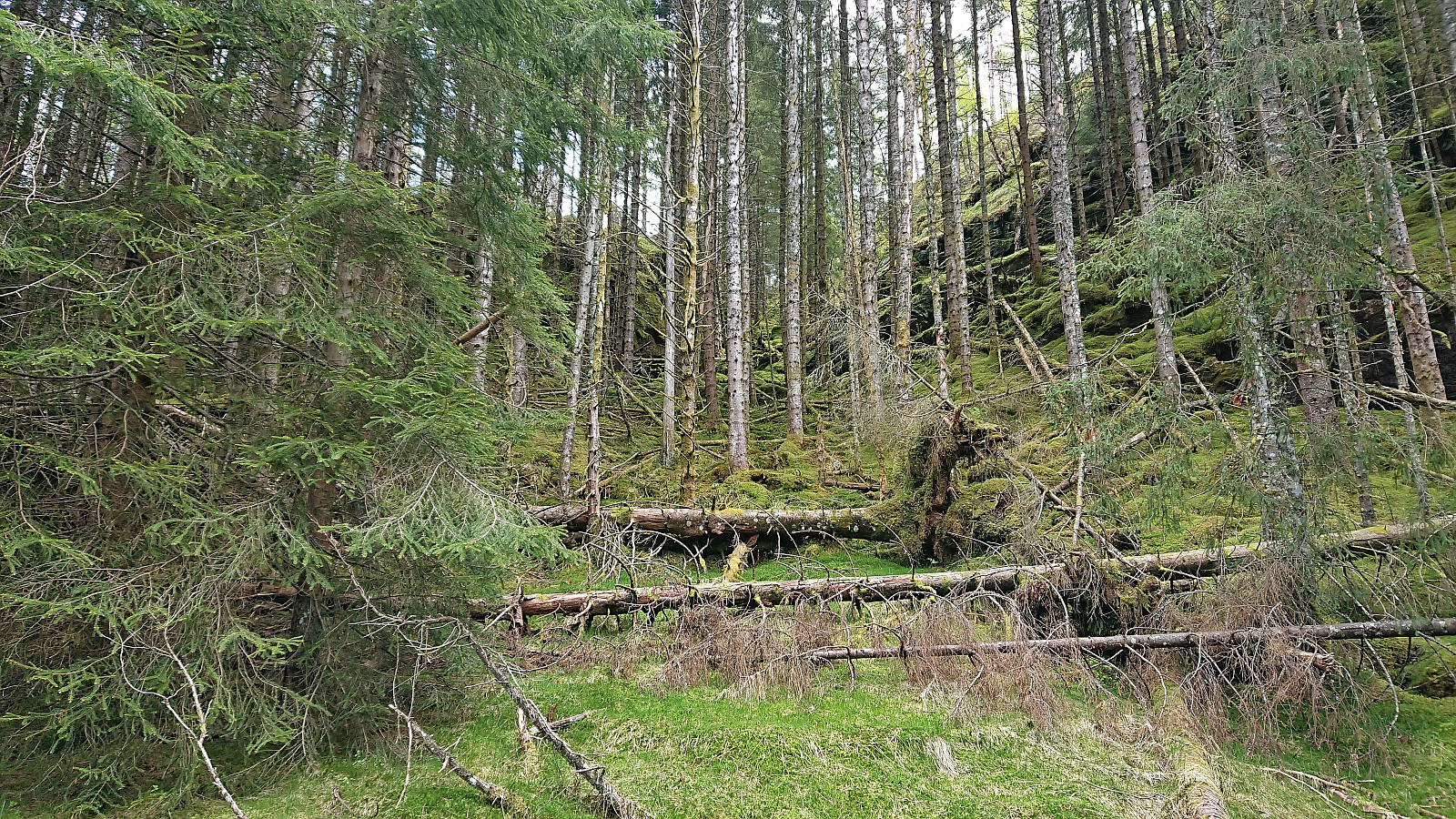
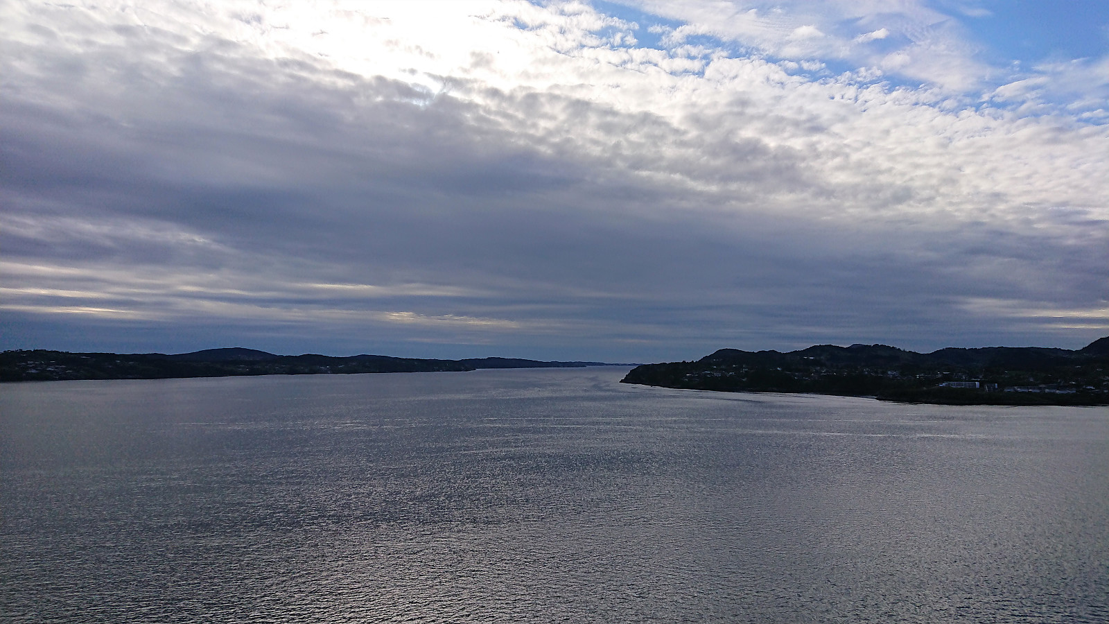
Ørneberget, Hellemyrstien and Hellen festning
- Datum:
- 21.05.2022
- Tourcharakter:
- Bergtour
- Tourlänge:
- 2:54h
- Entfernung:
- 6,4km
 Short local hike avoiding the rain showers to the south and east.
Eldsfjellet and Eldsbu
- Datum:
- 18.05.2022
- Tourcharakter:
- Bergtour
- Tourlänge:
- 2:10h
- Entfernung:
- 2,8km
 Short evening hike with two colleagues, among them yehiamokhtarfarag (Yehia Mokhtar Farag) , where we followed the standard route from the large new parking lot southeast of the summit. My third visit of Eldsfjellet , but the first to the new "dagsturhytte" called Eldsbu . Windy at the summit and not as much sun as we had hoped but otherwise a very nice short hike.
Cycling: Salhus Roundtrip
- Datum:
- 17.05.2022
- Tourcharakter:
- Fahrradtour Straße
- Tourlänge:
- 2:15h
- Entfernung:
- 36,9km
 Evening cycling trip around Salhus after spending the first half of the day celebrating the 17th of May in the city center.
Hellen festning and Furukammen
- Datum:
- 16.05.2022
- Tourcharakter:
- Wanderung
- Tourlänge:
- 2:06h
- Entfernung:
- 4,3km
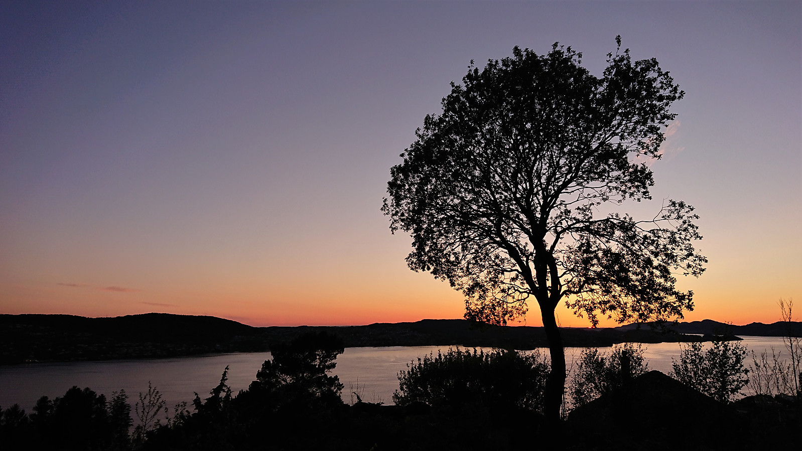 Short local evening hike.
