Archiv - Nach Datum
Archiv - Nach Aktivität
-
Andere Tour (3)
- Kayaking (3)
-
Fahrradtour (111)
- Fahrradtour Straße (86)
- Fahrradtour gemischt (25)
-
Fahrzeugtour (9)
- Autotour (9)
-
Fußtour (1897)
- Bergtour (1120)
- Jogging (1)
- Spaziergang (60)
- Wanderung (716)
-
Skitour (116)
- Langlauf (47)
- Tourenskilauf (69)
Gesammelte Listen
-
Utvalgte topper og turmål i Bergen
(349/351)
 99%
99% -
Alle topper i Bergen
(393/400)
98%
-
Voss ≥ 100m pf.
(96/98)
97%
-
Opptur Hordaland
(144/159)
90%
-
Stasjoner på Bergensbanen
(33/40)
82%
-
Ulvik ≥ 100m pf.
(30/38)
78%
-
Hordaland ≥ 100m pf.
(624/863)
72%
-
Mjølfjell PF > 100m
(21/31)
67%
-
Jondal ≥ 100m pf.
(15/23)
65%
-
Dagsturhyttene i Vestland
(36/61)
59%
-
Sunnhordland PF >= 100m
(105/186)
56%
-
Hordaland: Hardanger PF>=100m
(196/359)
54%
-
DNT-hytter i Hordaland
(23/45)
51%
-
Kvinnherad ≥ 100m pf.
(40/79)
50%
-
Eidfjord ≥ 100m pf.
(13/42)
30%
-
Sogndal ≥ 100m pf.
(23/81)
28%
-
Gulen ≥ 100m pf.
(15/54)
27%
-
Vik i Sogn ≥ 100m pf.
(10/46)
21%
-
Sogn - Sør for Sognefjorden PF>=100m
(31/159)
19%
-
DNT-hytter i Sogn og Fjordane
(8/47)
17%

Såtene and Rundemanen
- Datum:
- 30.06.2021
- Tourcharakter:
- Bergtour
- Tourlänge:
- 3:08h
- Entfernung:
- 13,1km
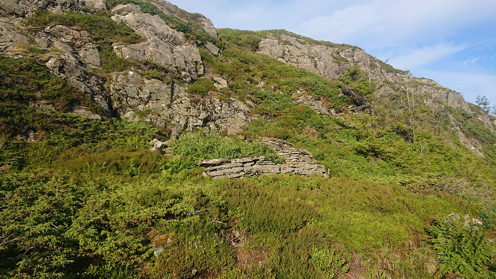 Evening hike with the main objective of visiting Såtene . I also included a quick visit of Rundemanen and the ruin of Ladehytte that Kjell51 (Kjell Øijorden) recently discovered at the northern end of Lille Tindevatnet .
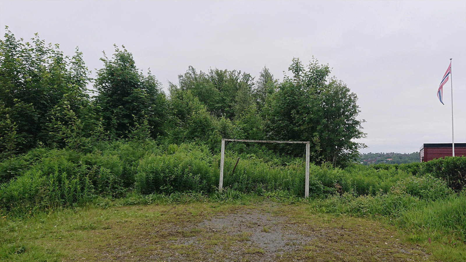
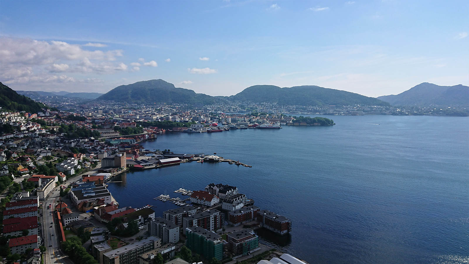
Across Hellen festning
- Datum:
- 29.06.2021
- Tourcharakter:
- Wanderung
- Tourlänge:
- 0:35h
- Entfernung:
- 3,1km
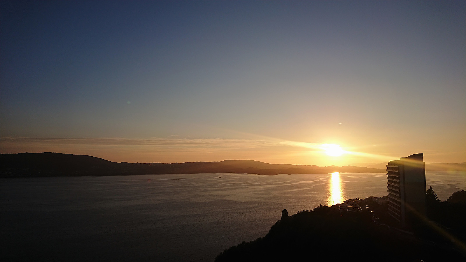 Short local evening hike.
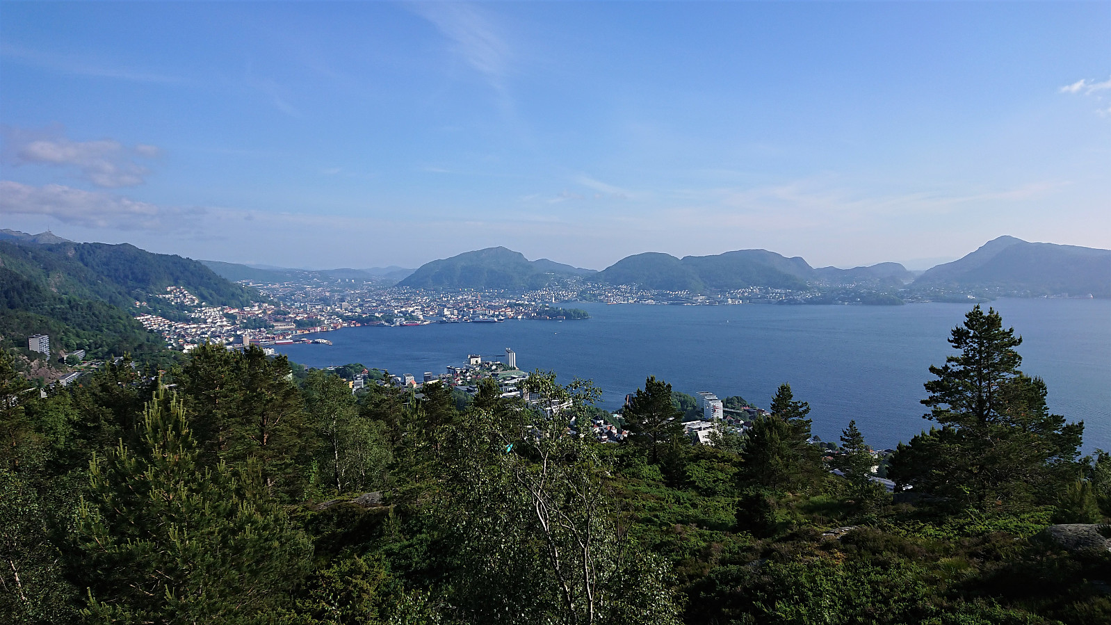
Furukammen and Hellen festning
- Datum:
- 28.06.2021
- Tourcharakter:
- Wanderung
- Tourlänge:
- 1:10h
- Entfernung:
- 4,5km
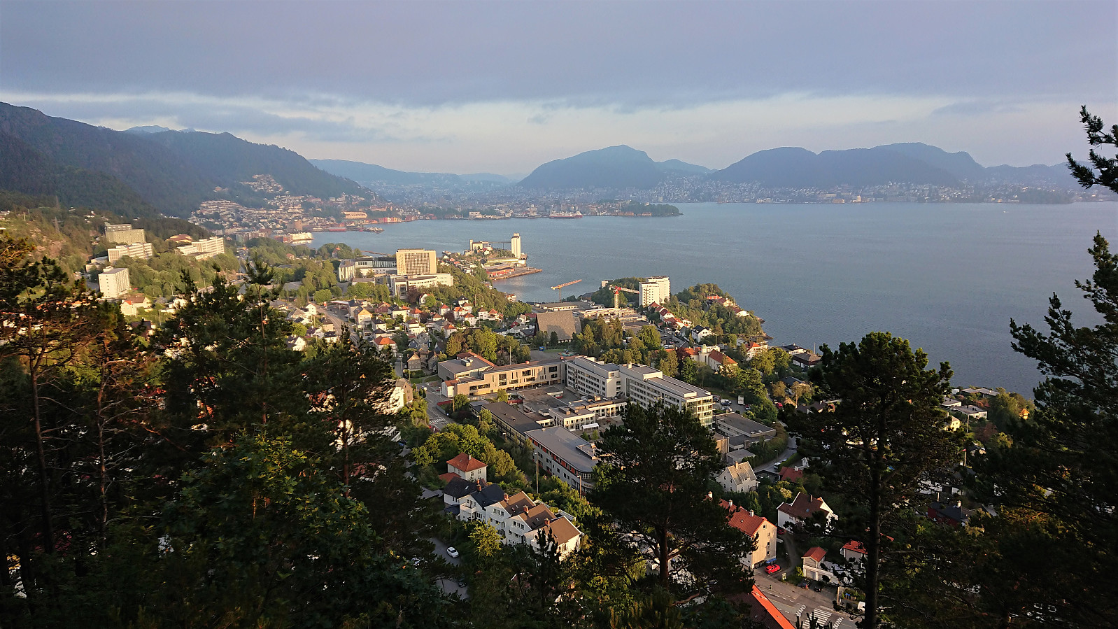 Short local evening hike.
Horn, Volafjellet and Tvarafjellet from Bulken
- Datum:
- 27.06.2021
- Tourcharakter:
- Bergtour
- Tourlänge:
- 10:32h
- Entfernung:
- 37,2km
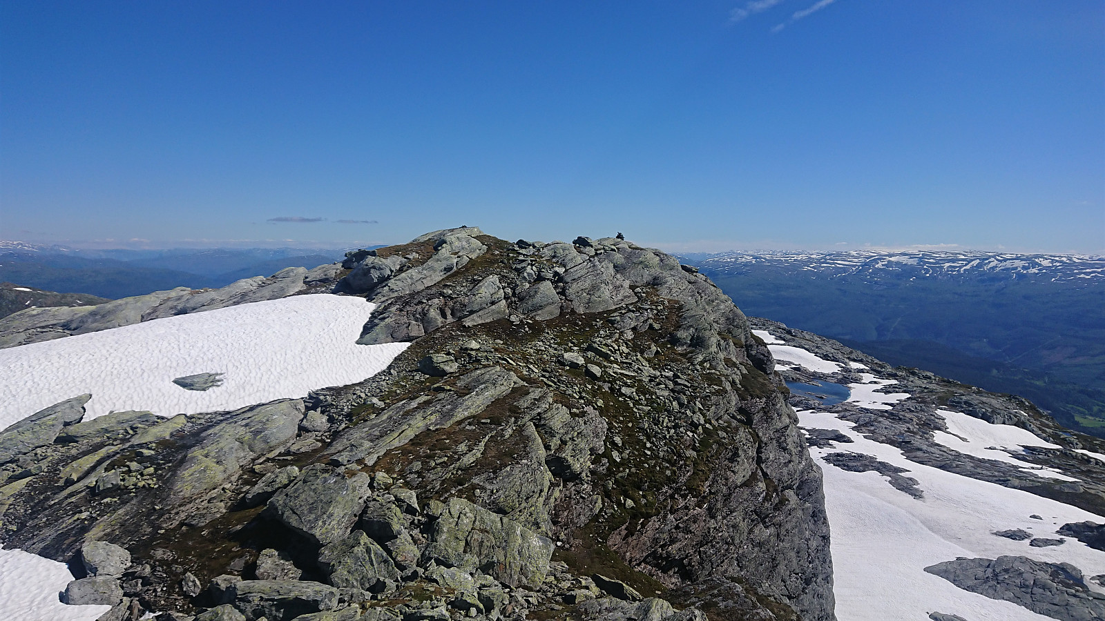 I started by taking the train to Bulken and from there following the paved and later gravel road up to Tverrlii p-plass . Here the road turned into a nice unmarked trail that brought me up to Listred . The map indicated a trail continuing north, but I did not see any traces of it. In any case, I crossed the river and instead headed off-trail towards Horn . Note that while I crossed south of the bridge, as there was very little water in the river, the bridge had been upgraded since Knut Sverre 's visit more than five years ago when it was more of a "build you own bridge" concept. ;)
When getting closer to the summit I came across a weak trail marked with small cairns (maybe coming up from Vestbygdi/Nyestølen?), but it seemed to disappear when approaching the summit. Before heading to the summit, I made a quick visit of the large cairn to the west . Excellent views from both the >>>
I started by taking the train to Bulken and from there following the paved and later gravel road up to Tverrlii p-plass . Here the road turned into a nice unmarked trail that brought me up to Listred . The map indicated a trail continuing north, but I did not see any traces of it. In any case, I crossed the river and instead headed off-trail towards Horn . Note that while I crossed south of the bridge, as there was very little water in the river, the bridge had been upgraded since Knut Sverre 's visit more than five years ago when it was more of a "build you own bridge" concept. ;)
When getting closer to the summit I came across a weak trail marked with small cairns (maybe coming up from Vestbygdi/Nyestølen?), but it seemed to disappear when approaching the summit. Before heading to the summit, I made a quick visit of the large cairn to the west . Excellent views from both the >>>
Cycling: Nordåsvatnet, Flesland and Skjold
- Datum:
- 26.06.2021
- Tourcharakter:
- Fahrradtour Straße
- Tourlänge:
- 3:51h
- Entfernung:
- 54,9km
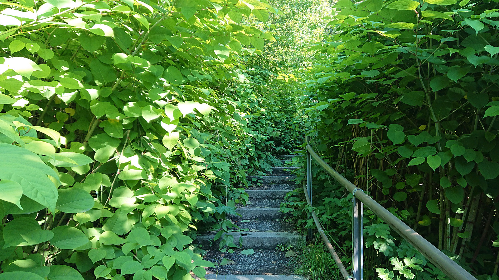
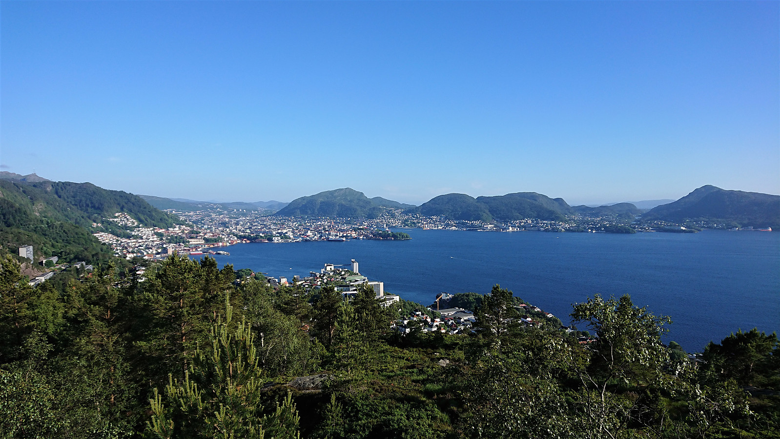
 Cycling trip with the main objective of visiting more minor peaks on the Alle topper i Bergen list . I started by cycling to Nordåsvatnet and onwards to Ruskeneshaugen . As I did not see any way to access the summit without bordering on trespassing, I skipped the last 50 meters the summit and instead turned south to Kokstadhaugen . I left my bike northwest of the summit and continued the rest of the way on foot, partly along a trail. Better views than expected from the summit.
Before heading for Skjold and the final two peaks, I first made a quick visit to Flesland. Getting to Skjoldhøgda was straightforward, except for lots of roadwork resulting in several detours. Also here I skipped the last 20 meters to the summit in order to avoid strange looks from the nearby neighbors. There were some very nice views from just north of the summit though, which could >>>
Cycling trip with the main objective of visiting more minor peaks on the Alle topper i Bergen list . I started by cycling to Nordåsvatnet and onwards to Ruskeneshaugen . As I did not see any way to access the summit without bordering on trespassing, I skipped the last 50 meters the summit and instead turned south to Kokstadhaugen . I left my bike northwest of the summit and continued the rest of the way on foot, partly along a trail. Better views than expected from the summit.
Before heading for Skjold and the final two peaks, I first made a quick visit to Flesland. Getting to Skjoldhøgda was straightforward, except for lots of roadwork resulting in several detours. Also here I skipped the last 20 meters to the summit in order to avoid strange looks from the nearby neighbors. There were some very nice views from just north of the summit though, which could >>>
Munkebotn and Hellemyrstien
- Datum:
- 25.06.2021
- Tourcharakter:
- Wanderung
- Tourlänge:
- 1:40h
- Entfernung:
- 8,6km
 Local hike after work.
Ørneberget, Rognåsen and Håmanen
- Datum:
- 22.06.2021
- Tourcharakter:
- Bergtour
- Tourlänge:
- 1:36h
- Entfernung:
- 7,4km
 Local hike after work.
Cycling: Nonkletten and Moldstigahaugen
- Datum:
- 20.06.2021
- Tourcharakter:
- Fahrradtour Straße
- Tourlänge:
- 4:31h
- Entfernung:
- 67,5km
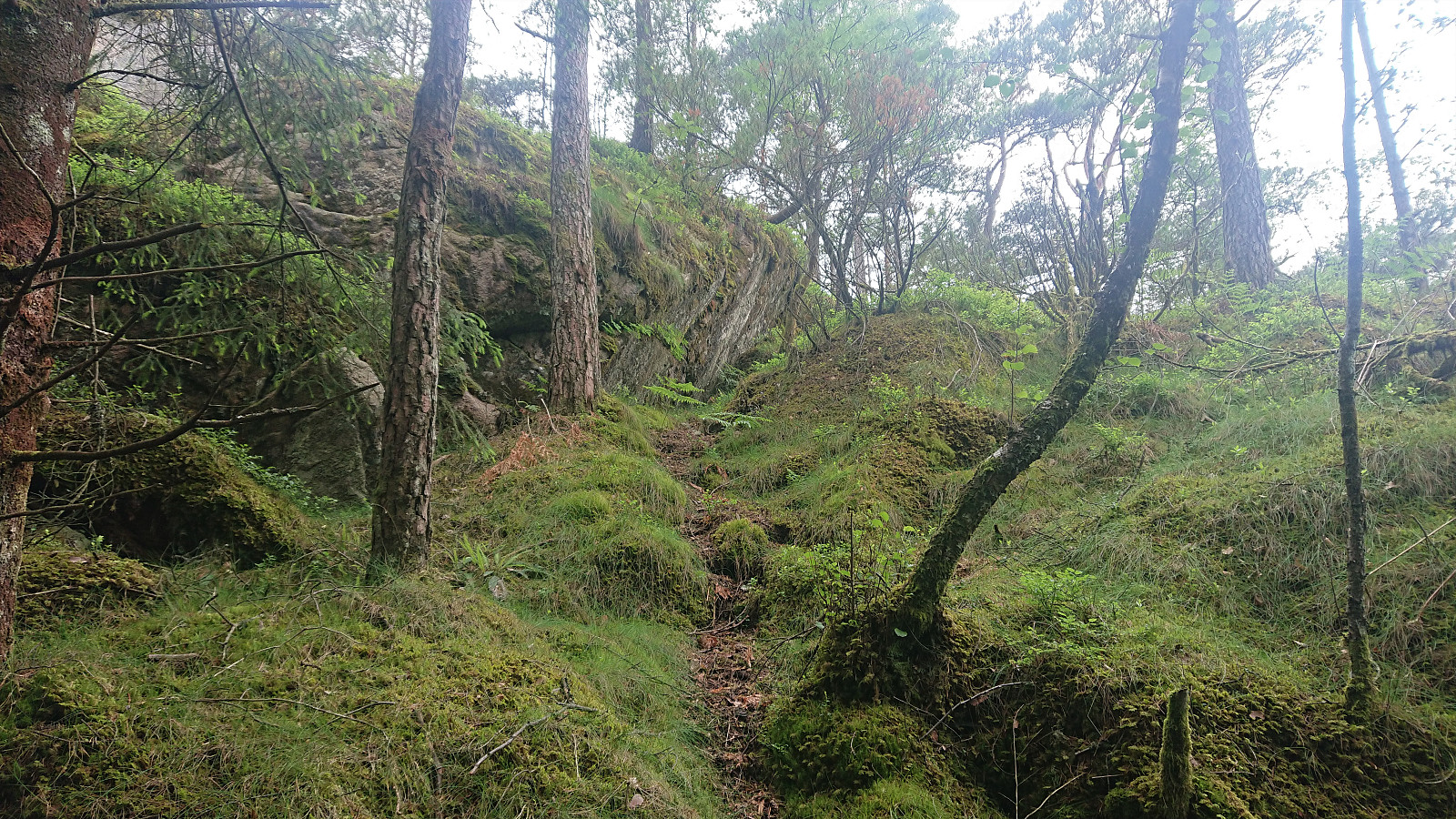 With a weather forecast of late afternoon rain showers, I postponed my initial hiking plans and rather went for a cycling trip to Krokeide with the goal of visiting two more peaks on the Alle topper i Bergen list, namely Nonkletten and Moldstigahaugen . Thanks to the earlier trip reports, I could easily locate the unmarked trailhead south of Nonkletten, and after leaving my bike behind I followed the marked trail all the way to the summit. Limited views from the summit itself, but the views during the ascent (and later descent) were quite good.
From Nonkletten I followed the trail north towards Moldstigahaugen. And while the trail almost disappeared when crossing one or two wet areas, and the trail markers were anything but frequent, the trail did make it relatively straightforward to get from Nonkletten to just east of Moldstigahaugen. >>>
With a weather forecast of late afternoon rain showers, I postponed my initial hiking plans and rather went for a cycling trip to Krokeide with the goal of visiting two more peaks on the Alle topper i Bergen list, namely Nonkletten and Moldstigahaugen . Thanks to the earlier trip reports, I could easily locate the unmarked trailhead south of Nonkletten, and after leaving my bike behind I followed the marked trail all the way to the summit. Limited views from the summit itself, but the views during the ascent (and later descent) were quite good.
From Nonkletten I followed the trail north towards Moldstigahaugen. And while the trail almost disappeared when crossing one or two wet areas, and the trail markers were anything but frequent, the trail did make it relatively straightforward to get from Nonkletten to just east of Moldstigahaugen. >>>
Hellemyrstien and Sandviksbatteriet
- Datum:
- 19.06.2021
- Tourcharakter:
- Wanderung
- Tourlänge:
- 2:25h
- Entfernung:
- 6,8km
 Local hike with my youngest nephew.
Ørneberget and Rognåsen
- Datum:
- 18.06.2021
- Tourcharakter:
- Bergtour
- Tourlänge:
- 2:31h
- Entfernung:
- 6,1km
 Local evening hike after work.
