Archive - Date
Archive - Activity
-
Bike trip (111)
- Bike trip - mixed (25)
- Bike trip - road (86)
-
Drive (9)
- Car drive (9)
-
Other trip (3)
- Kayaking (3)
-
Ski trip (116)
- Backcountry skiing (69)
- Cross-country skiing (47)
- Trip by foot (1897)
Collected lists
-
Utvalgte topper og turmål i Bergen
(349/351)
 99%
99% -
Alle topper i Bergen
(393/400)
98%
-
Voss ≥ 100m pf.
(96/98)
97%
-
Opptur Hordaland
(144/159)
90%
-
Stasjoner på Bergensbanen
(33/40)
82%
-
Ulvik ≥ 100m pf.
(30/38)
78%
-
Hordaland ≥ 100m pf.
(624/863)
72%
-
Mjølfjell PF > 100m
(21/31)
67%
-
Jondal ≥ 100m pf.
(15/23)
65%
-
Dagsturhyttene i Vestland
(36/61)
59%
-
Sunnhordland PF >= 100m
(105/186)
56%
-
Hordaland: Hardanger PF>=100m
(196/359)
54%
-
DNT-hytter i Hordaland
(23/45)
51%
-
Kvinnherad ≥ 100m pf.
(40/79)
50%
-
Eidfjord ≥ 100m pf.
(13/42)
30%
-
Sogndal ≥ 100m pf.
(23/81)
28%
-
Gulen ≥ 100m pf.
(15/54)
27%
-
Vik i Sogn ≥ 100m pf.
(10/46)
21%
-
Sogn - Sør for Sognefjorden PF>=100m
(31/159)
19%
-
DNT-hytter i Sogn og Fjordane
(8/47)
17%

Sandviksbatteriet and Hellemyrstien
- Date:
- 31.05.2021
- Characteristic:
- Hike
- Duration:
- 1:42h
- Distance:
- 9.3km
 Local evening hike.
Cycling: Fedjebjørnen from Bergen
- Date:
- 30.05.2021
- Characteristic:
- Bike trip - road
- Duration:
- 12:23h
- Distance:
- 148.6km
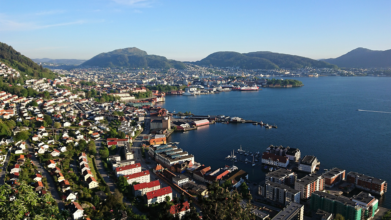
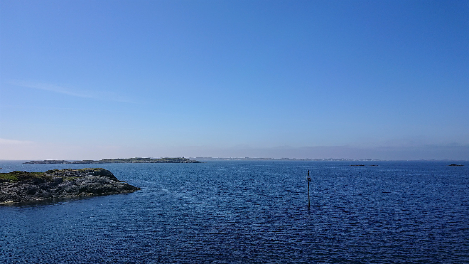 For some time I had been considering an extended cycling trip with the goal of visiting Fedjebjørnen , and with a weekend of excellent weather forecasts I decided to finally give it a go. I started cycling from Lønborg just after nine in the morning and more or less followed the cycling route towards Mongstad. This meant that for most of the trip I was either on separate cycling/walking paths or on roads with limited traffic. The exception perhaps being the stretch from Alversundsbrua until turning left for Sæbø. Here it is probably best to avoid the rush hour traffic.
Almost 4.5 hours later, and a total of 70 km, I finally arrived at Sævrøy. Here I had a 20-minute break waiting for the ferry to Fedje. Except for some light haze, the conditions were very good, and I could enjoy the excellent views from >>>
For some time I had been considering an extended cycling trip with the goal of visiting Fedjebjørnen , and with a weekend of excellent weather forecasts I decided to finally give it a go. I started cycling from Lønborg just after nine in the morning and more or less followed the cycling route towards Mongstad. This meant that for most of the trip I was either on separate cycling/walking paths or on roads with limited traffic. The exception perhaps being the stretch from Alversundsbrua until turning left for Sæbø. Here it is probably best to avoid the rush hour traffic.
Almost 4.5 hours later, and a total of 70 km, I finally arrived at Sævrøy. Here I had a 20-minute break waiting for the ferry to Fedje. Except for some light haze, the conditions were very good, and I could enjoy the excellent views from >>>
Ørneberget and Ørneberget NV
- Date:
- 27.05.2021
- Characteristic:
- Hillwalk
- Duration:
- 0:56h
- Distance:
- 4.1km
 Short local evening hike.
Ørneberget and Rognåsen
- Date:
- 26.05.2021
- Characteristic:
- Hillwalk
- Duration:
- 1:53h
- Distance:
- 5.9km
 Short local evening hike.
Ørneberget and Ørneberget NV
- Date:
- 25.05.2021
- Characteristic:
- Hillwalk
- Duration:
- 1:28h
- Distance:
- 3.6km
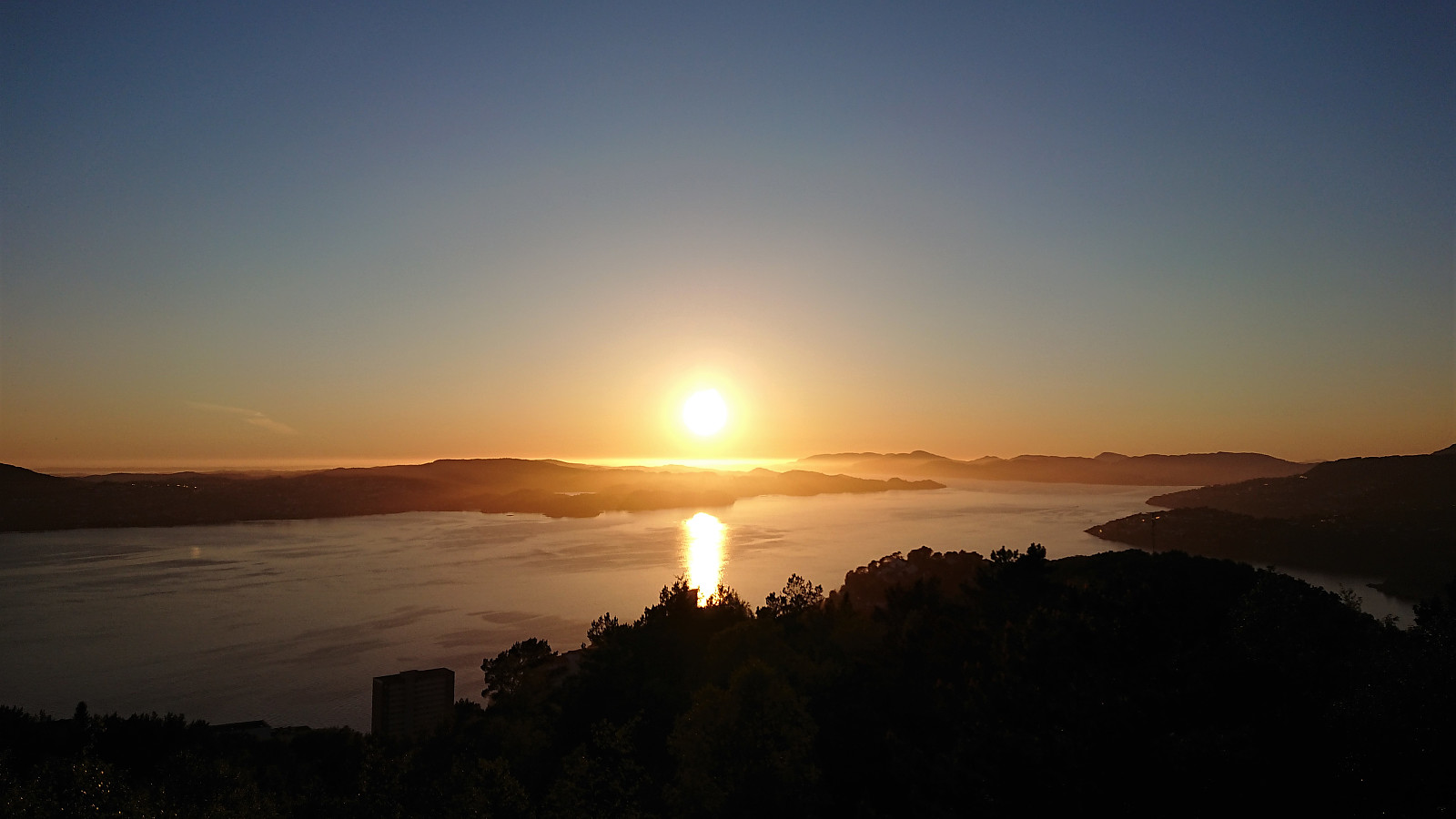
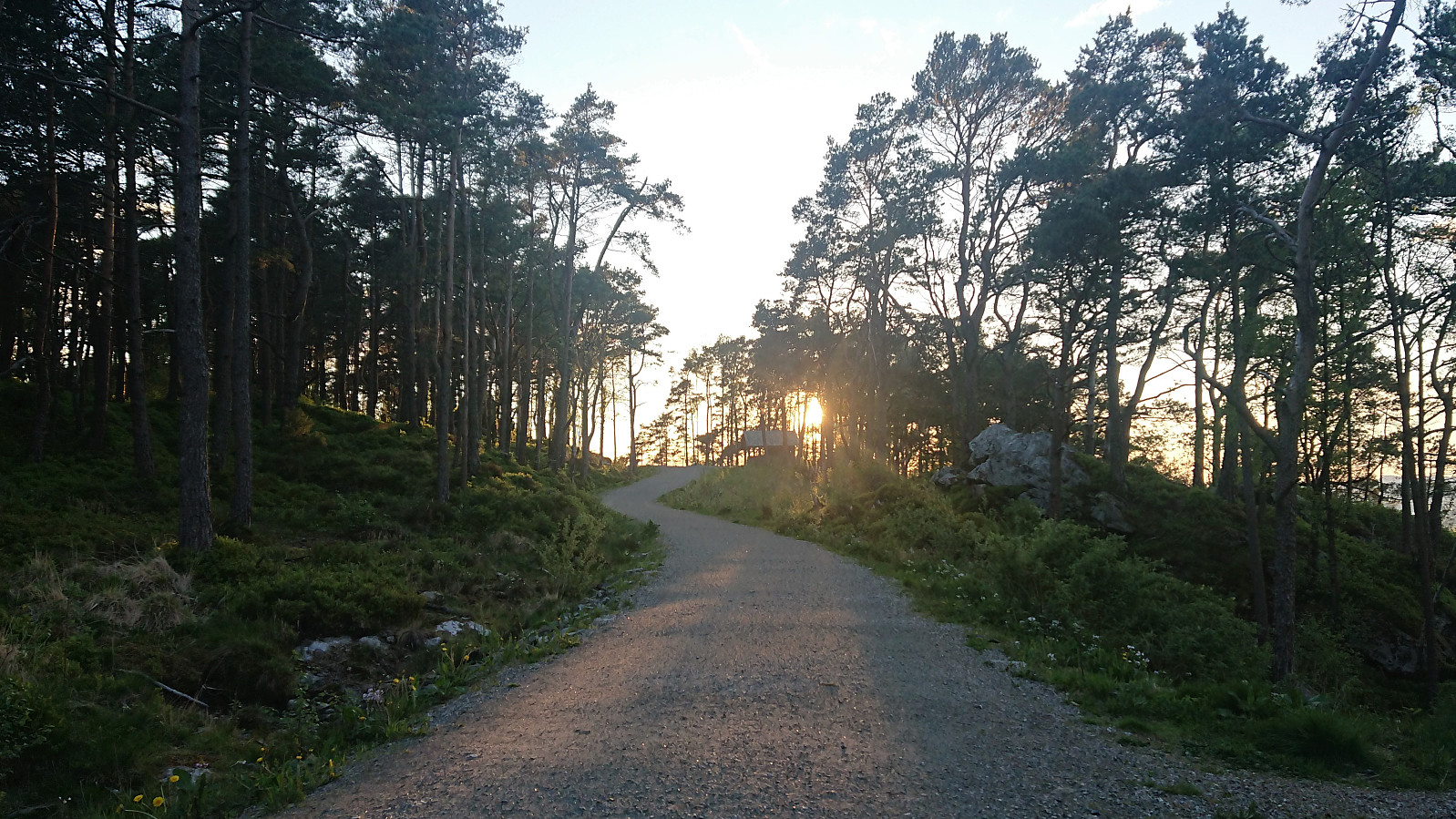
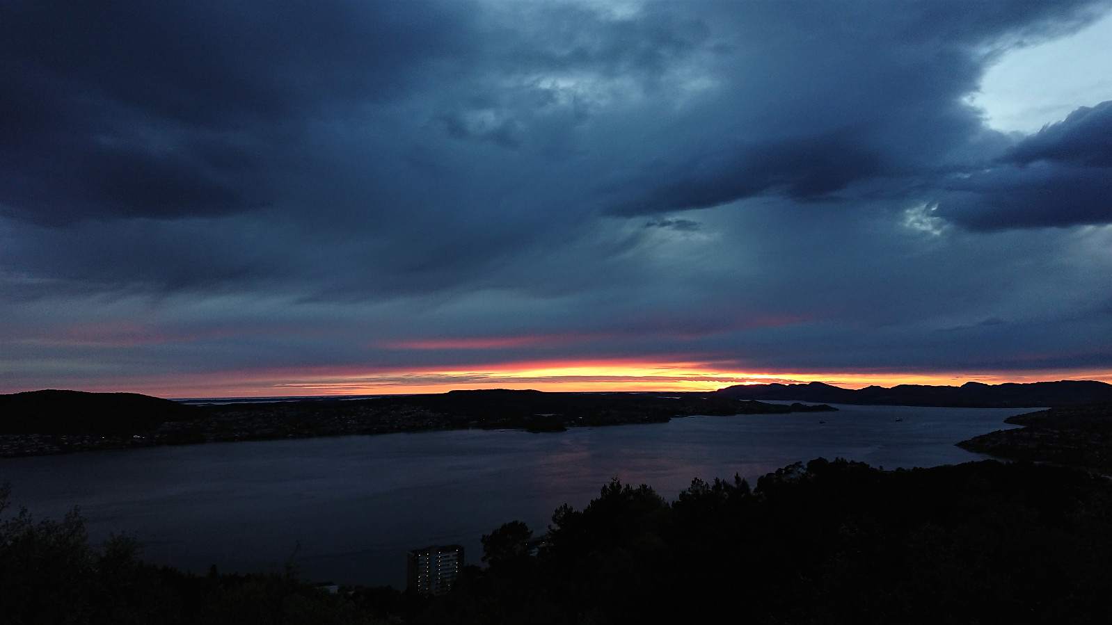 Short local late evening hike with a longer break at Ørneberget NV to catch the sunset.
Hellemyrstien
- Date:
- 24.05.2021
- Characteristic:
- Hike
- Duration:
- 1:26h
- Distance:
- 7.7km
 Local hike along Hellemyrstien.
Fredriksberg
- Date:
- 23.05.2021
- Characteristic:
- Walk
- Duration:
- 0:43h
- Distance:
- 3.3km
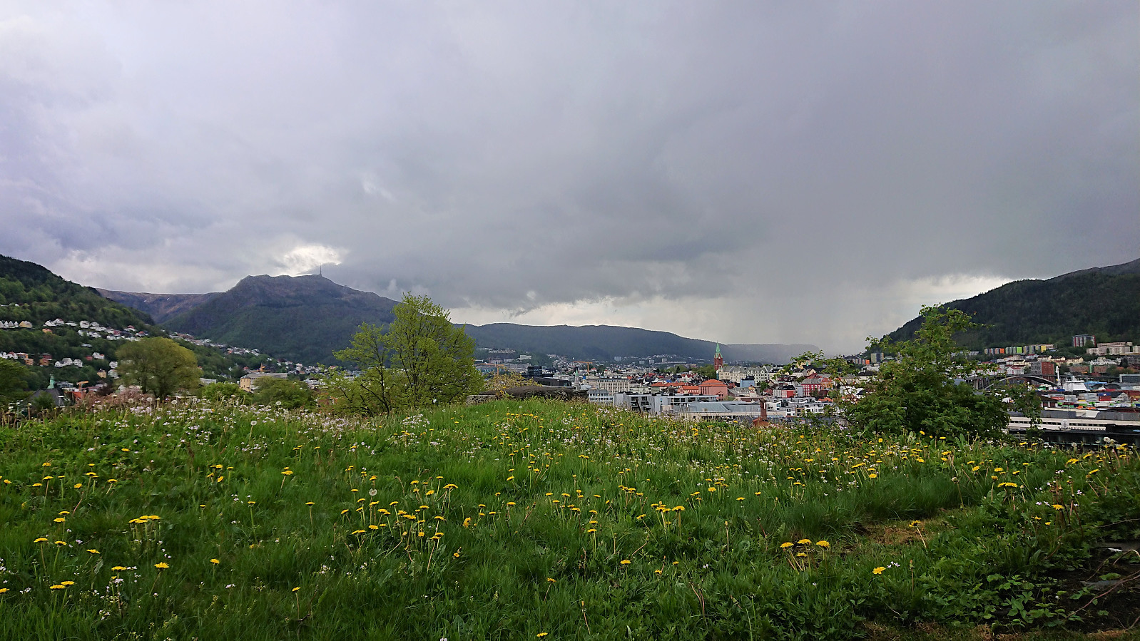 Short walk in the city center to visit Fredriksberg . Note that Fredriksberg is only open to the public from May 18th to September 1st .
Cycling: Gullfjellet roundtrip
- Date:
- 22.05.2021
- Characteristic:
- Bike trip - road
- Duration:
- 7:02h
- Distance:
- 106.4km
 Long cycling trip around Gullfjellet via Åsane, Trengereid and (almost to) Osøyro. Close to all of the trip was on either separate cycling paths or along roads with very limited traffic. The main exception being the section from Trengereid (from after the short tunnel above the roundabout) to Hisdal. Here the only option is to share the road with the high-speed traffic. It is therefore recommended to avoid cycling here at times when there may be a lot of traffic.
Note that it is straightforward to avoid the second slightly longer tunnel just before reaching Hisdal. The trick is to use the nice gravel road on the south side of the tunnel. As a bonus you get a very nice view towards Samnangerfjorden. I passed through the first tunnel, as it was much shorter and there was not a lot of traffic, >>>
Long cycling trip around Gullfjellet via Åsane, Trengereid and (almost to) Osøyro. Close to all of the trip was on either separate cycling paths or along roads with very limited traffic. The main exception being the section from Trengereid (from after the short tunnel above the roundabout) to Hisdal. Here the only option is to share the road with the high-speed traffic. It is therefore recommended to avoid cycling here at times when there may be a lot of traffic.
Note that it is straightforward to avoid the second slightly longer tunnel just before reaching Hisdal. The trick is to use the nice gravel road on the south side of the tunnel. As a bonus you get a very nice view towards Samnangerfjorden. I passed through the first tunnel, as it was much shorter and there was not a lot of traffic, >>>
Træshovden and Svartaberget
- Date:
- 20.05.2021
- Characteristic:
- Hillwalk
- Duration:
- 1:31h
- Distance:
- 4.5km
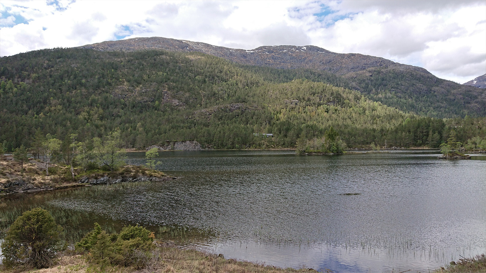
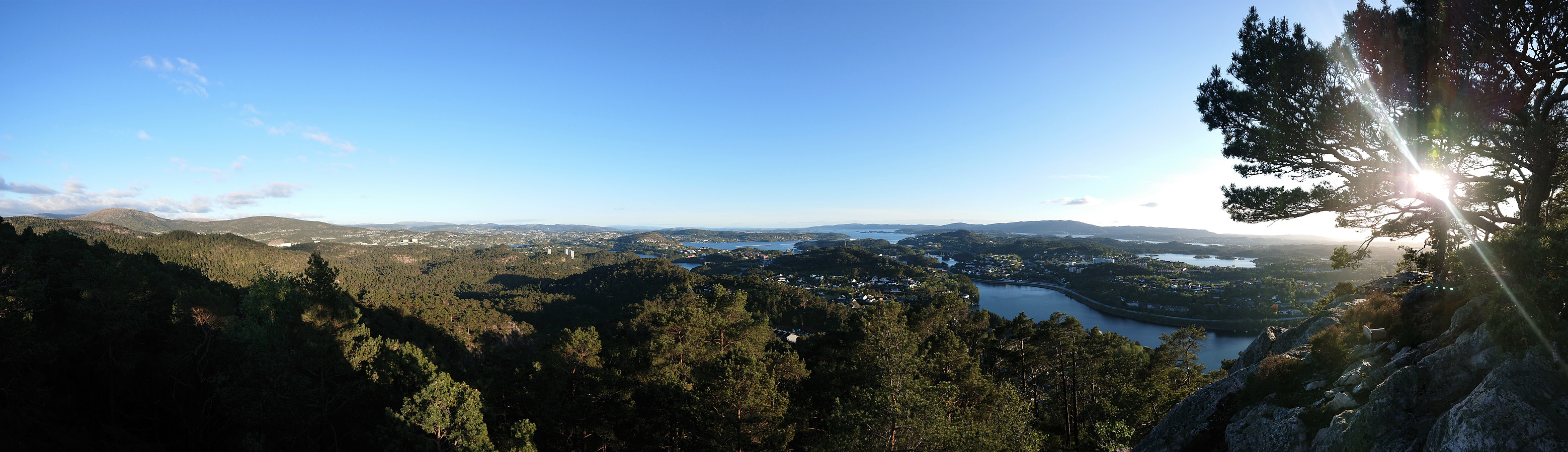 Short evening hike with the main goal of visiting Træshovden . Instead of taking the most direct route to the summit, I first followed a trail along the ridge west of Ravnestølen, which later connected with the main trail to the summit. Overall relatively limited views from this minor detour, except for at the start when one could look back at Svartaberget and Lyderhorn . There was also one spot with good views towards the west, which is more than can be said of the summit of Træshovden.
After returning to Ravnestølen, I made a revisit of Svartaberget, given that the views on my previous visit had been far from optimal. Today there were close to no clouds and I could fully enjoy the spectacular panoramic views! From the summit, I followed a trail towards the northern starting point of Knappetunnelen, passing by two of the >>>
Short evening hike with the main goal of visiting Træshovden . Instead of taking the most direct route to the summit, I first followed a trail along the ridge west of Ravnestølen, which later connected with the main trail to the summit. Overall relatively limited views from this minor detour, except for at the start when one could look back at Svartaberget and Lyderhorn . There was also one spot with good views towards the west, which is more than can be said of the summit of Træshovden.
After returning to Ravnestølen, I made a revisit of Svartaberget, given that the views on my previous visit had been far from optimal. Today there were close to no clouds and I could fully enjoy the spectacular panoramic views! From the summit, I followed a trail towards the northern starting point of Knappetunnelen, passing by two of the >>>
Svelihovden and Såbotshaugen
- Date:
- 18.05.2021
- Characteristic:
- Hillwalk
- Duration:
- 2:44h
- Distance:
- 7.9km
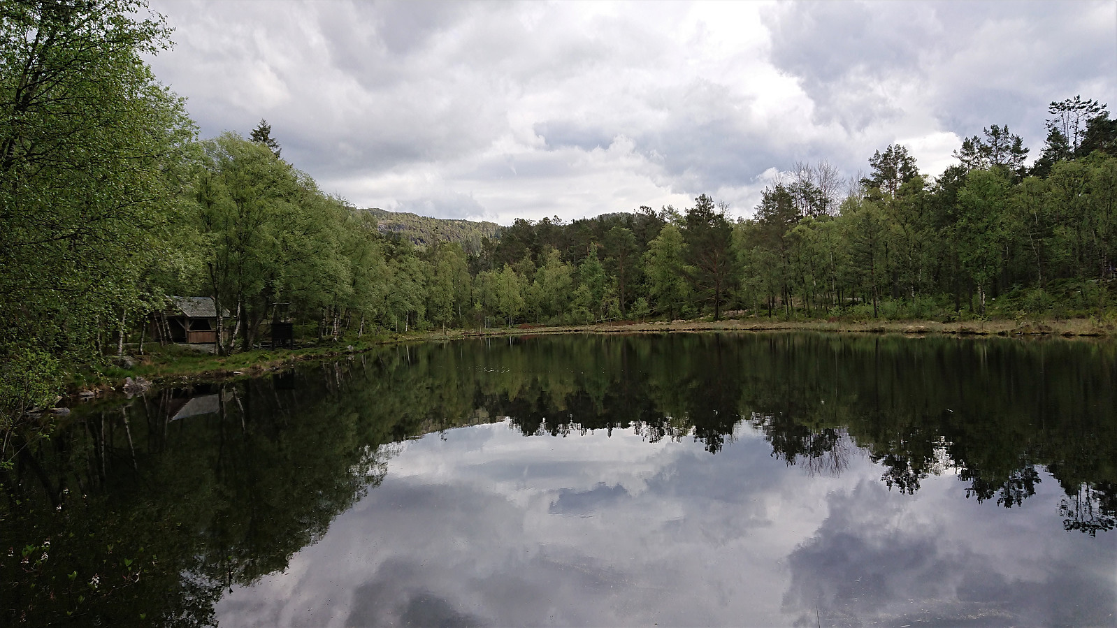
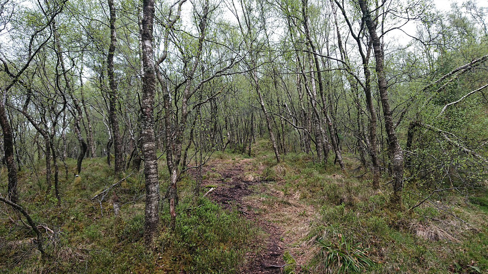 We parked at Kvamsvegen P-plass and from there followed the gravel road up to Kvamsstølen. Here we passed through a gate and continued northwest on what was most likely the old road to Kvamsstølen. At Høgaleitet, southeast of the unnamed 243 hill, we turned west and followed a tractor road northwest towards the trail to Norhytten . However, we got fooled by the trail indicated on the map and continued too far along the tractor road. Instead of retracing our steps to locate the missed exit, we went for a shortcut following a deer track through the semi-dense vegetation, and had to climb a fence.
When walking south along the fence we soon came across the gate we should have passed through, with clear trails in both directions. I took the short detour back through the gate to figure out where we had missed our exit. The >>>
We parked at Kvamsvegen P-plass and from there followed the gravel road up to Kvamsstølen. Here we passed through a gate and continued northwest on what was most likely the old road to Kvamsstølen. At Høgaleitet, southeast of the unnamed 243 hill, we turned west and followed a tractor road northwest towards the trail to Norhytten . However, we got fooled by the trail indicated on the map and continued too far along the tractor road. Instead of retracing our steps to locate the missed exit, we went for a shortcut following a deer track through the semi-dense vegetation, and had to climb a fence.
When walking south along the fence we soon came across the gate we should have passed through, with clear trails in both directions. I took the short detour back through the gate to figure out where we had missed our exit. The >>>
