Arkiv - dato
Arkiv - aktivitet
-
Annen tur (3)
- Kajakkpadling (3)
- Fottur (1897)
-
Kjøretur (9)
- Biltur (9)
-
Skitur (116)
- Fjellskitur (69)
- Langrennstur (47)
-
Sykkeltur (111)
- Blandet sykling (25)
- Gatesykling (86)
Lister jeg samler etter
-
Utvalgte topper og turmål i Bergen
(349/351)
 99%
99% -
Alle topper i Bergen
(393/400)
98%
-
Voss ≥ 100m pf.
(96/98)
97%
-
Opptur Hordaland
(144/159)
90%
-
Stasjoner på Bergensbanen
(33/40)
82%
-
Ulvik ≥ 100m pf.
(30/38)
78%
-
Hordaland ≥ 100m pf.
(624/863)
72%
-
Mjølfjell PF > 100m
(21/31)
67%
-
Jondal ≥ 100m pf.
(15/23)
65%
-
Dagsturhyttene i Vestland
(36/61)
59%
-
Sunnhordland PF >= 100m
(105/186)
56%
-
Hordaland: Hardanger PF>=100m
(196/359)
54%
-
DNT-hytter i Hordaland
(23/45)
51%
-
Kvinnherad ≥ 100m pf.
(40/79)
50%
-
Eidfjord ≥ 100m pf.
(13/42)
30%
-
Sogndal ≥ 100m pf.
(23/81)
28%
-
Gulen ≥ 100m pf.
(15/54)
27%
-
Vik i Sogn ≥ 100m pf.
(10/46)
21%
-
Sogn - Sør for Sognefjorden PF>=100m
(31/159)
19%
-
DNT-hytter i Sogn og Fjordane
(8/47)
17%

Across Hellen festning
- Dato:
- 20.01.2021
- Turtype:
- Fottur
- Turlengde:
- 0:40t
- Distanse:
- 3,1km
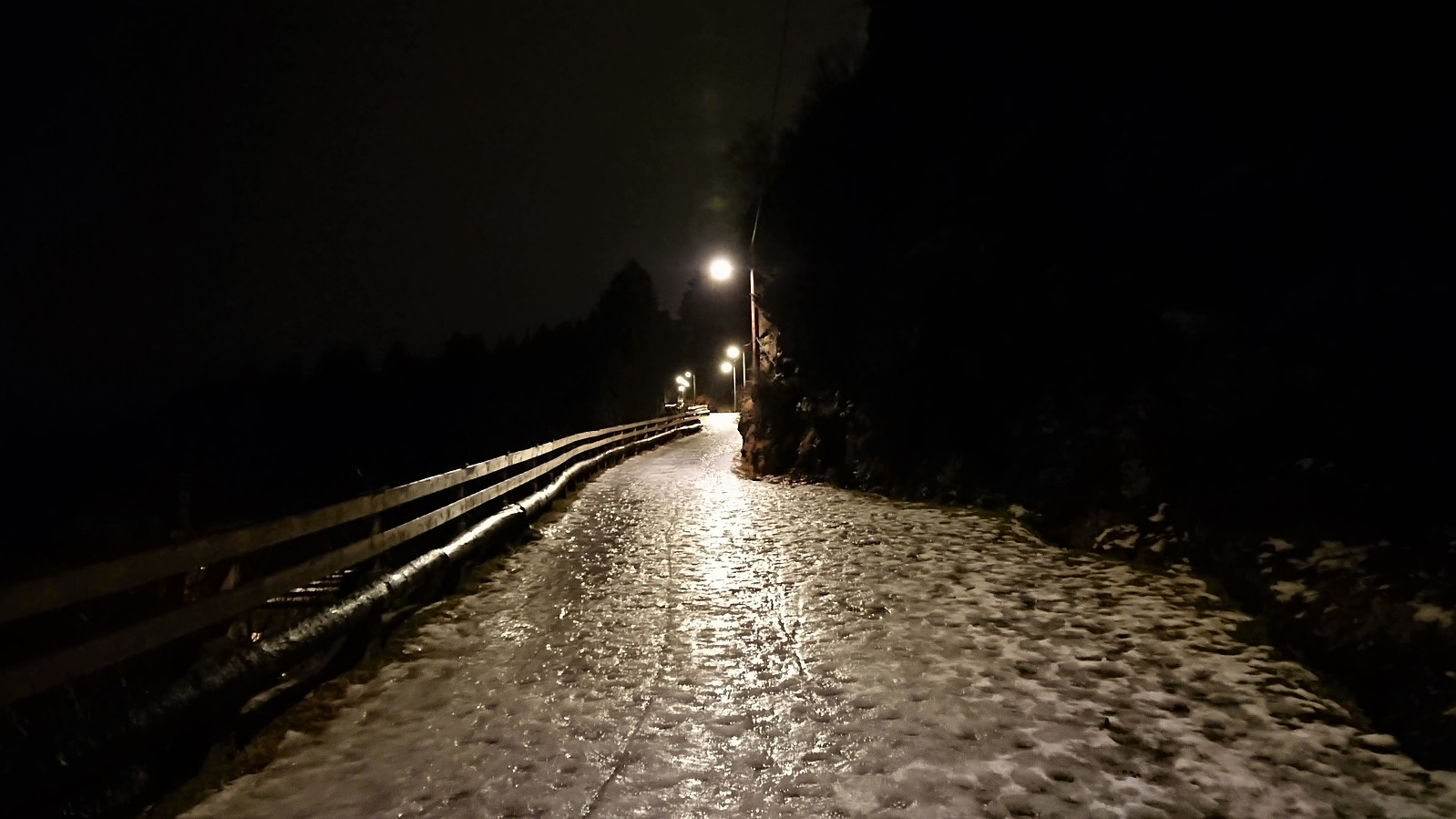 Short local evening hike across an ice-covered Hellen festning.
Skiing at Fløyen
- Dato:
- 19.01.2021
- Turtype:
- Langrennstur
- Turlengde:
- 2:36t
- Distanse:
- 13,6km
 Yet another skiing trip at Fløyen, but this time starting by taking Fløibanen to avoid the icy ascent roads. Very few people at Fløibanen, maybe just over ten in total. Which was a bit strange given the close to perfect skiing conditions in "lysløypen"! The descent in the direction of Munkebotsvatnet was more challenging, with conditions varying from hard snow to packed ice. I still kept the skis on until close to the end of the steep descent below Vannverkshuset i Skiveien . Would probably have been possible to continue further, but walking was almost as fast and much safer. The snow chains did however not come on until getting to the start of Hellemyrstien (and was perhaps not even needed there either).
Gamle Bergen
- Dato:
- 18.01.2021
- Turtype:
- Fottur
- Turlengde:
- 1:16t
- Distanse:
- 6,5km
 An attempt at the usual hike across Hellen festning had to be abandoned when the ascent road was completely packed with slippery ice. I therefore did a walk to Gamle Bergen instead.
Ørneberget, Rognåsen and Håmanen
- Dato:
- 17.01.2021
- Turtype:
- Fjelltur
- Turlengde:
- 1:52t
- Distanse:
- 7,2km
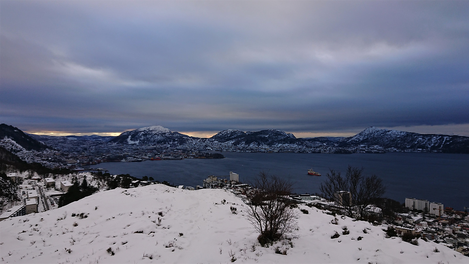 Local hike in light snow.
Note: The GPS stopped tracking when I returned to Garpetjern, hence the length and number of vertical meters have been adjusted accordingly.
Local hike in light snow.
Note: The GPS stopped tracking when I returned to Garpetjern, hence the length and number of vertical meters have been adjusted accordingly.
Fjellveien
- Dato:
- 16.01.2021
- Turtype:
- Fottur
- Turlengde:
- 3:22t
- Distanse:
- 13,9km
 Local hike in Fjellveien.
Skiing: Lønborg - Brushytten - Lønborg
- Dato:
- 15.01.2021
- Turtype:
- Langrennstur
- Turlengde:
- 3:10t
- Distanse:
- 16,5km
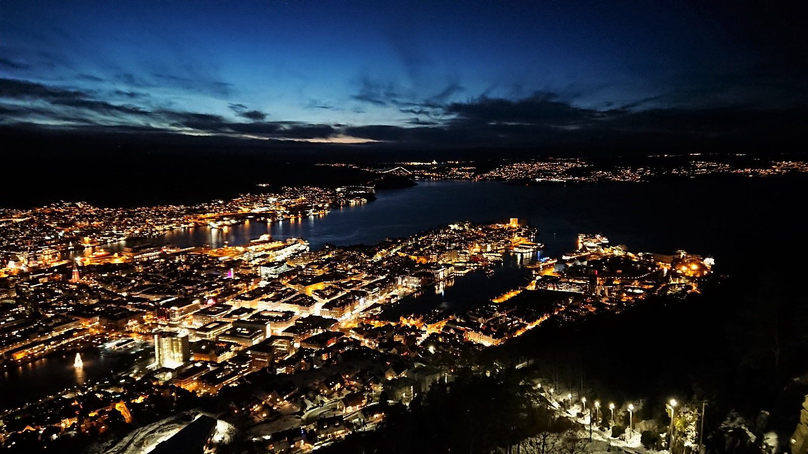
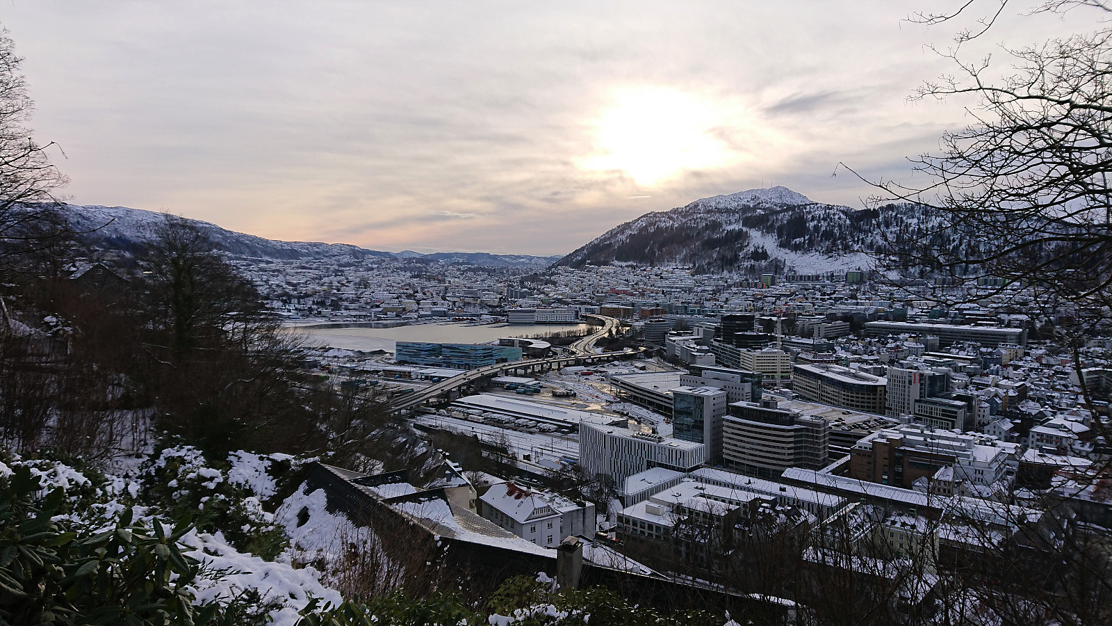
 At around three in the afternoon I finally managed to leave the home office to enjoy the tail end of yet another beautiful winter day in Bergen. Started by carrying the skis up to the top of Øyjorden and then skied to the start of the gravel road up from Munkebotsvatnet. Here I carried the skis up to Grindarasten , from where the skis stayed on until returning to Øyjorden almost three hours later. From Brushytten I also made a quick visit to Blåmansveien utsiktspunkt for some spectacular views before starting the descent. The head lamp was not required until passing by Storediket.
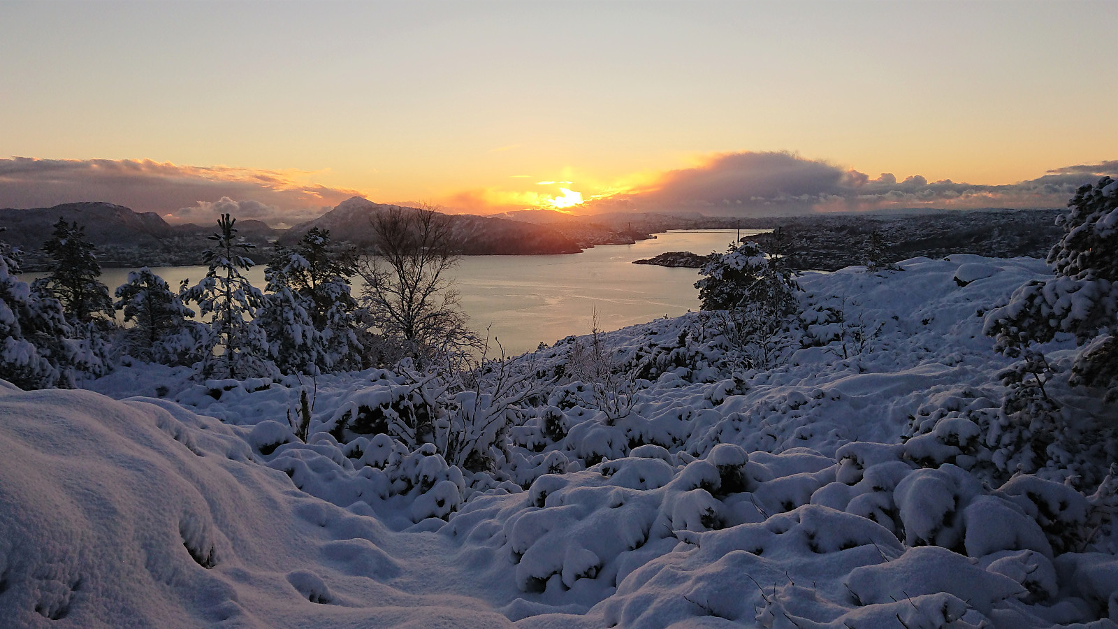
Ørneberget and Ørneberget NV
- Dato:
- 14.01.2021
- Turtype:
- Fjelltur
- Turlengde:
- 1:11t
- Distanse:
- 3,4km
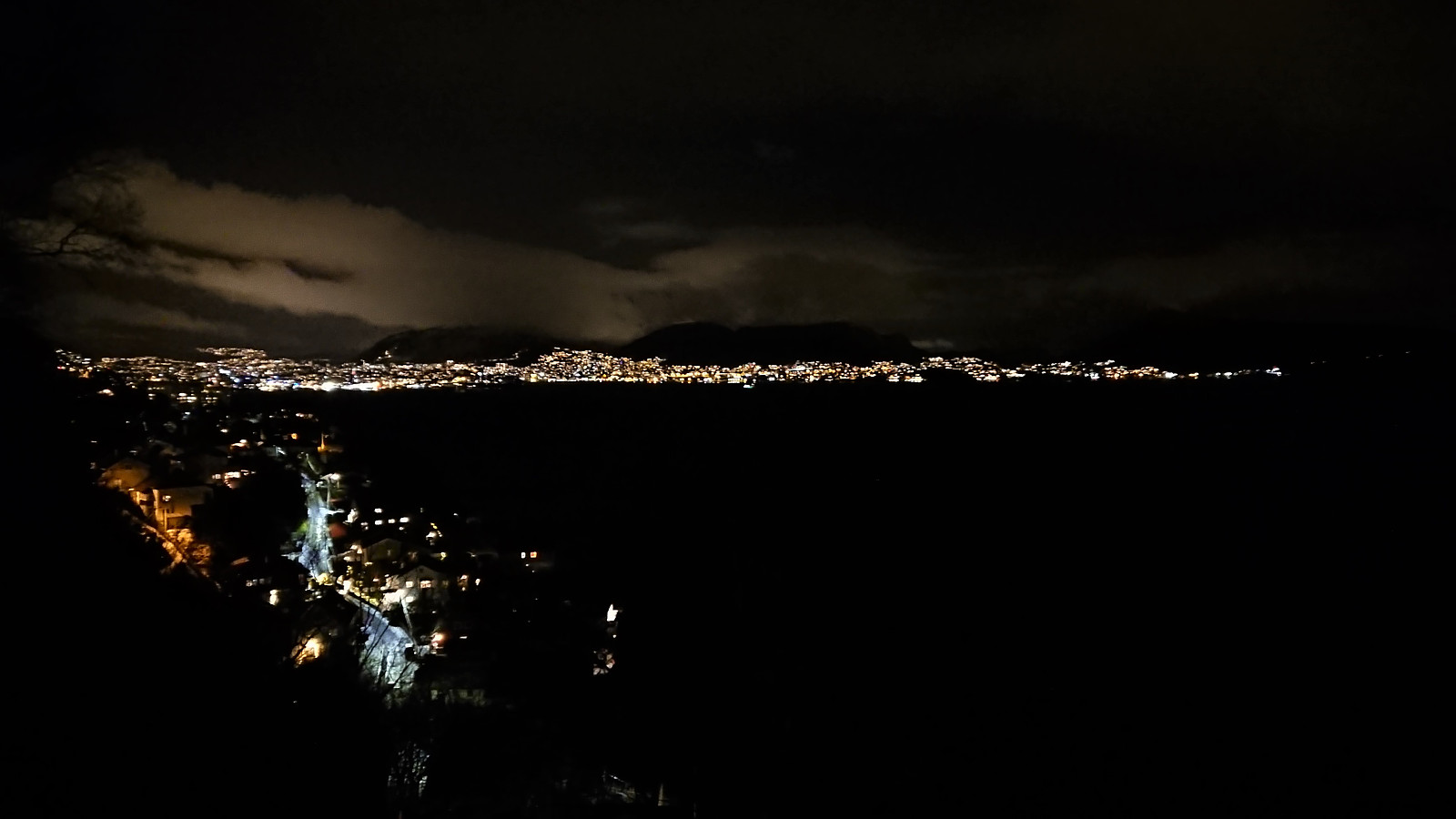
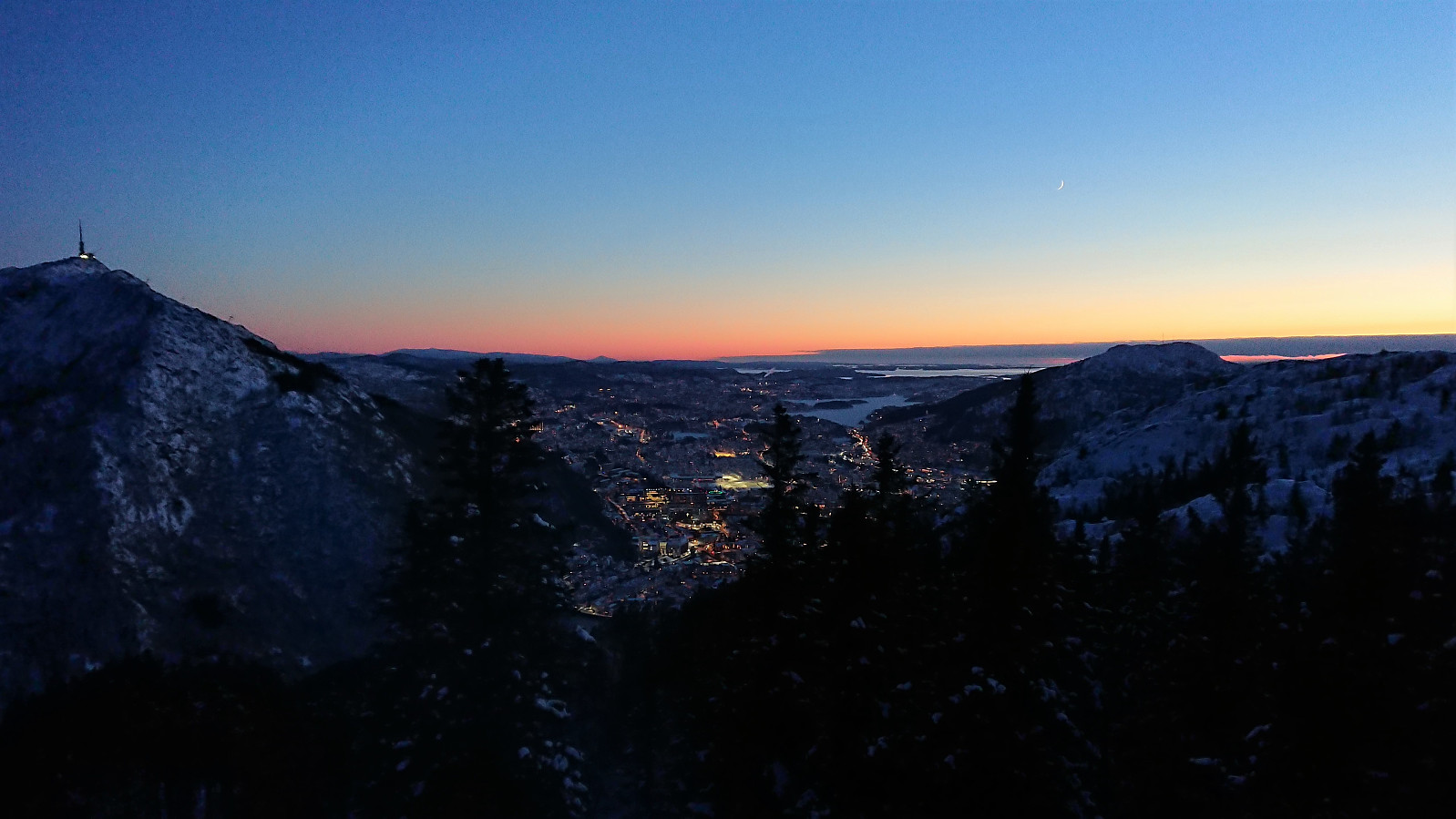
 Short local hike after work to catch the sunset at the top of Ørneberget .
Skiing at Fløyen
- Dato:
- 13.01.2021
- Turtype:
- Langrennstur
- Turlengde:
- 3:25t
- Distanse:
- 15,5km
 The first skiing trip of 2021! After getting all of the meetings out of the way before lunch, I took the rest of the day off to enjoy the excellent winter weather. Decided on an unusual ascent route based on carrying the skis from Munkebotn via Skredderdalen. Worked out ok, but there are clearly easier options. The skis came on at the top of Skredderdalen and stayed on until arriving at the top of Øyjorden.
Ørneberget and Rognåsen
- Dato:
- 12.01.2021
- Turtype:
- Fjelltur
- Turlengde:
- 1:21t
- Distanse:
- 5,4km
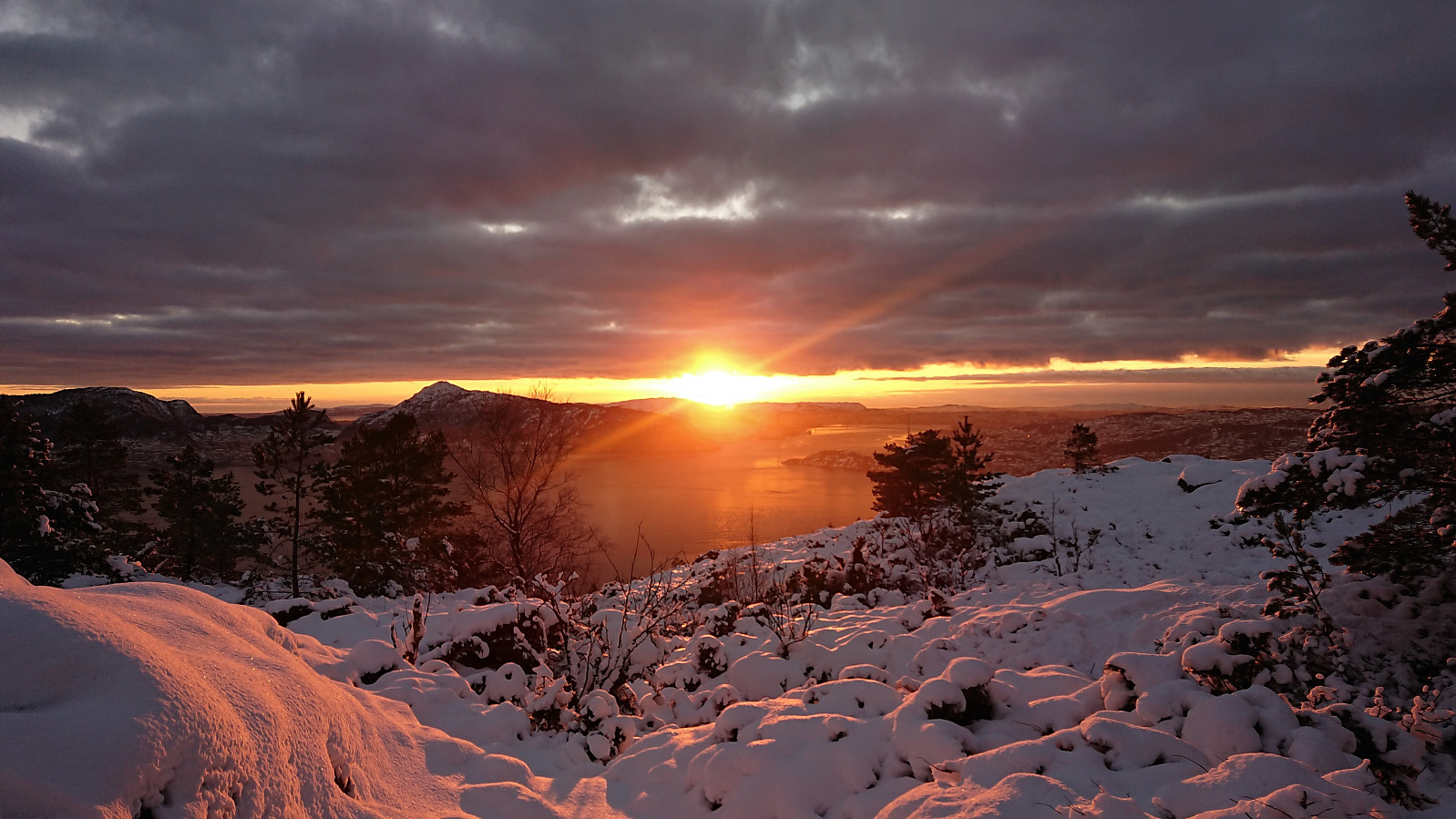
 Short local hike in the snow after work.
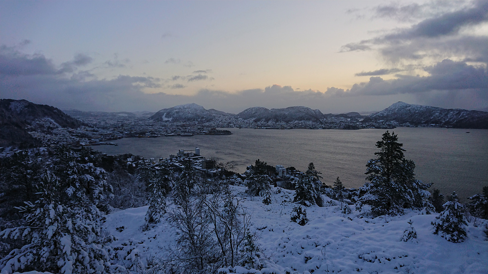
Ørneberget and Hellen festning
- Dato:
- 11.01.2021
- Turtype:
- Fjelltur
- Turlengde:
- 1:01t
- Distanse:
- 4,2km
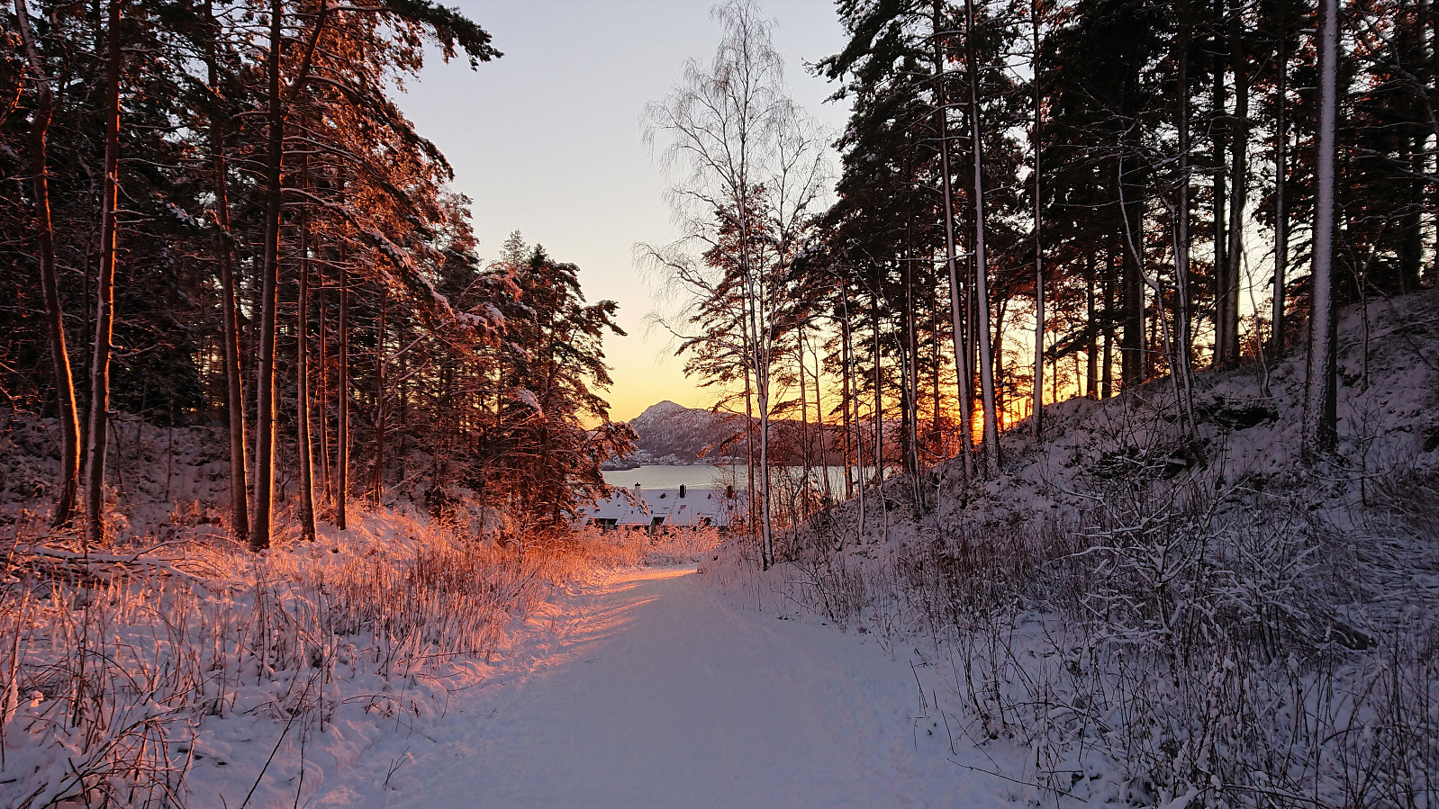
 Short local hike before sunset.
