Archiv - Nach Datum
Archiv - Nach Aktivität
-
Andere Tour (3)
- Kayaking (3)
-
Fahrradtour (111)
- Fahrradtour Straße (86)
- Fahrradtour gemischt (25)
-
Fahrzeugtour (9)
- Autotour (9)
-
Fußtour (1897)
- Bergtour (1120)
- Jogging (1)
- Spaziergang (60)
- Wanderung (716)
-
Skitour (116)
- Langlauf (47)
- Tourenskilauf (69)
Gesammelte Listen
-
Utvalgte topper og turmål i Bergen
(349/351)
 99%
99% -
Alle topper i Bergen
(393/400)
98%
-
Voss ≥ 100m pf.
(96/98)
97%
-
Opptur Hordaland
(144/159)
90%
-
Stasjoner på Bergensbanen
(33/40)
82%
-
Ulvik ≥ 100m pf.
(30/38)
78%
-
Hordaland ≥ 100m pf.
(624/863)
72%
-
Mjølfjell PF > 100m
(21/31)
67%
-
Jondal ≥ 100m pf.
(15/23)
65%
-
Dagsturhyttene i Vestland
(36/61)
59%
-
Sunnhordland PF >= 100m
(105/186)
56%
-
Hordaland: Hardanger PF>=100m
(196/359)
54%
-
DNT-hytter i Hordaland
(23/45)
51%
-
Kvinnherad ≥ 100m pf.
(40/79)
50%
-
Eidfjord ≥ 100m pf.
(13/42)
30%
-
Sogndal ≥ 100m pf.
(23/81)
28%
-
Gulen ≥ 100m pf.
(15/54)
27%
-
Vik i Sogn ≥ 100m pf.
(10/46)
21%
-
Sogn - Sør for Sognefjorden PF>=100m
(31/159)
19%
-
DNT-hytter i Sogn og Fjordane
(8/47)
17%

Hellen festning, Hellemyrstien and Munkebotn
- Datum:
- 31.01.2021
- Tourcharakter:
- Wanderung
- Tourlänge:
- 2:56h
- Entfernung:
- 10,0km
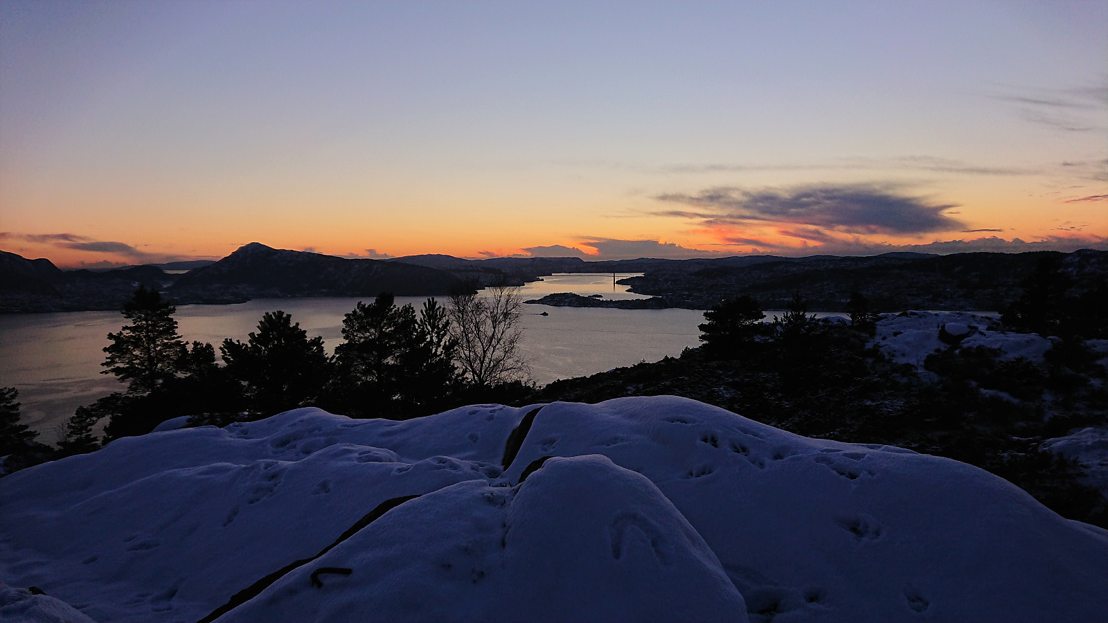
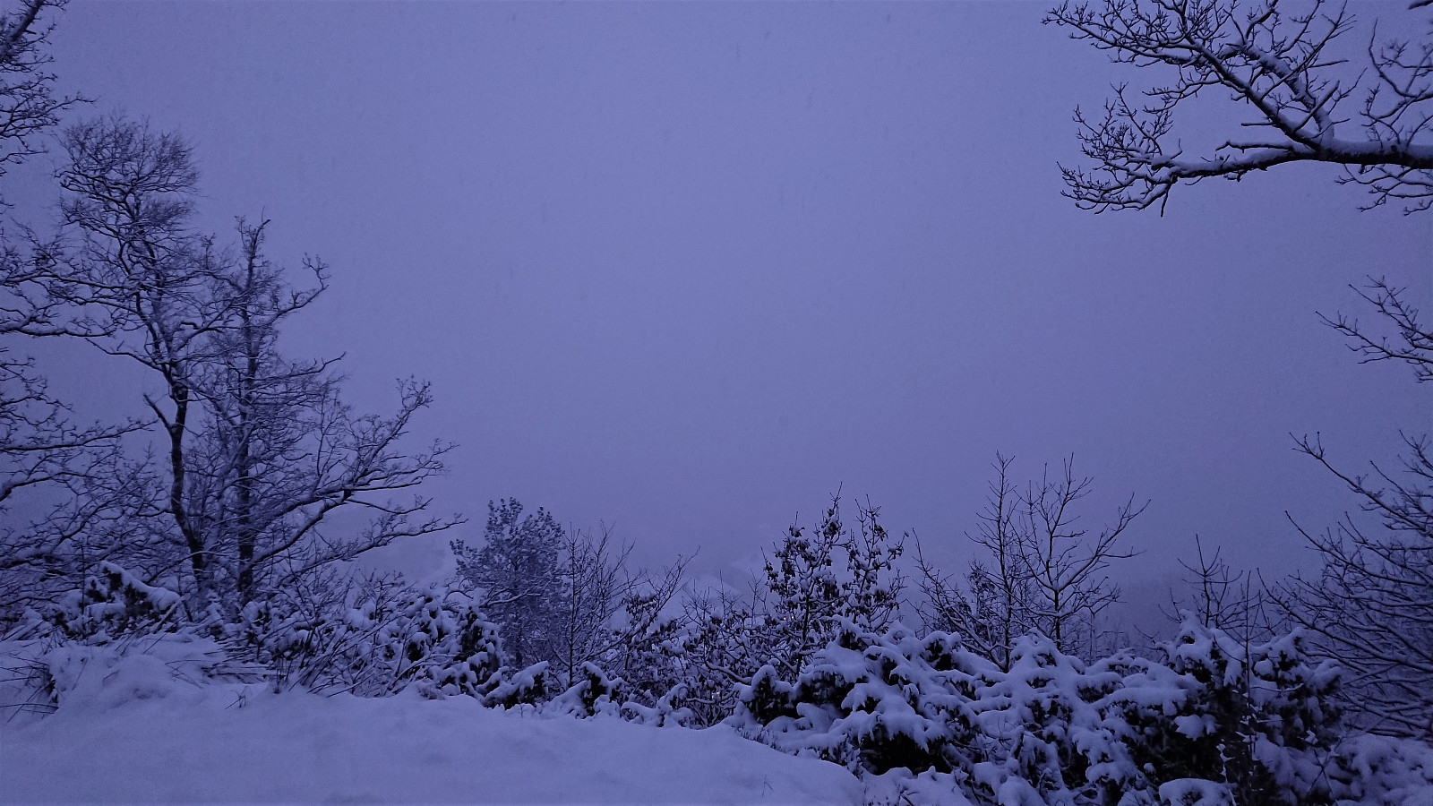 Local hike in the snow with Sigjoern (Sigbjørn Holm) and Marthine.
Sandviksbatteriet, Håmanen and Hellen festning
- Datum:
- 30.01.2021
- Tourcharakter:
- Bergtour
- Tourlänge:
- 2:10h
- Entfernung:
- 9,5km
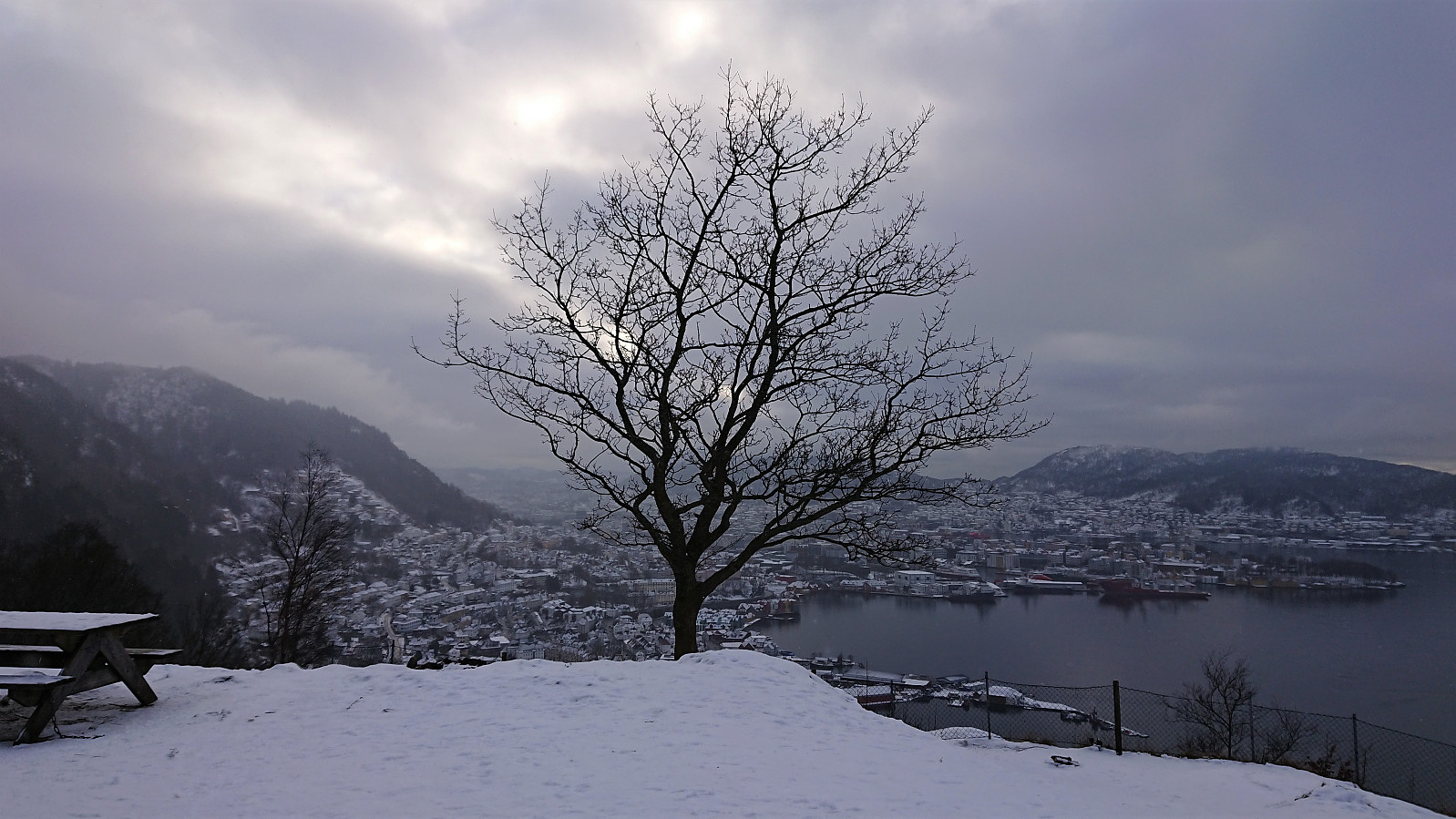 Local hike in the snow.
Ørneberget NV and Hellemyrstien
- Datum:
- 29.01.2021
- Tourcharakter:
- Bergtour
- Tourlänge:
- 3:52h
- Entfernung:
- 6,3km
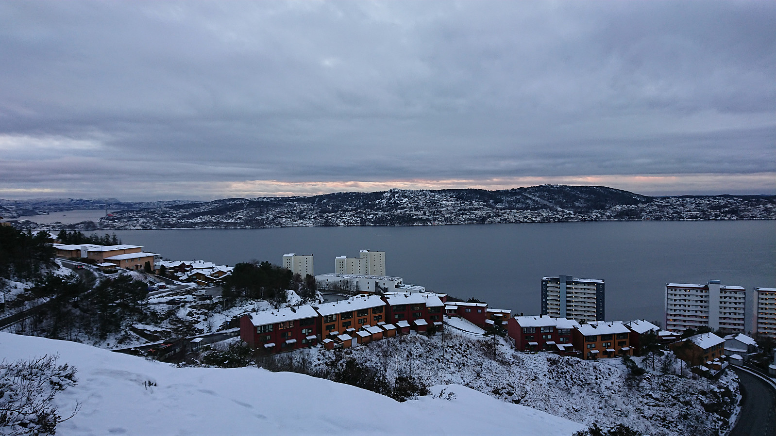 Short local hike after work.
Hellen festning and Gamle Bergen
- Datum:
- 28.01.2021
- Tourcharakter:
- Wanderung
- Tourlänge:
- 1:23h
- Entfernung:
- 7,3km
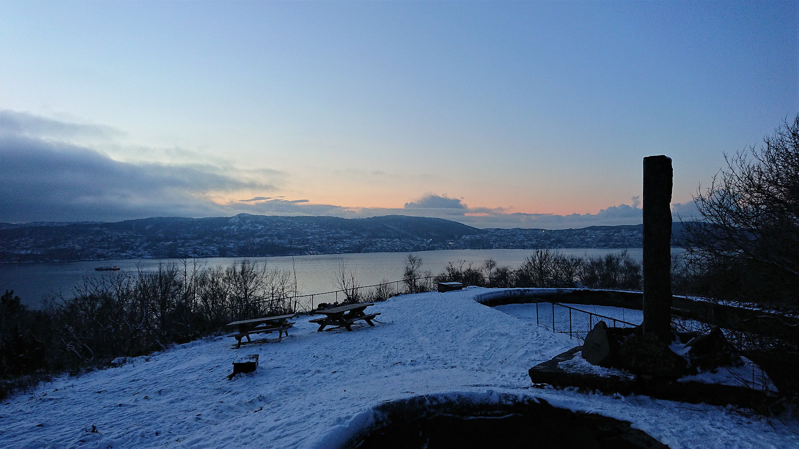
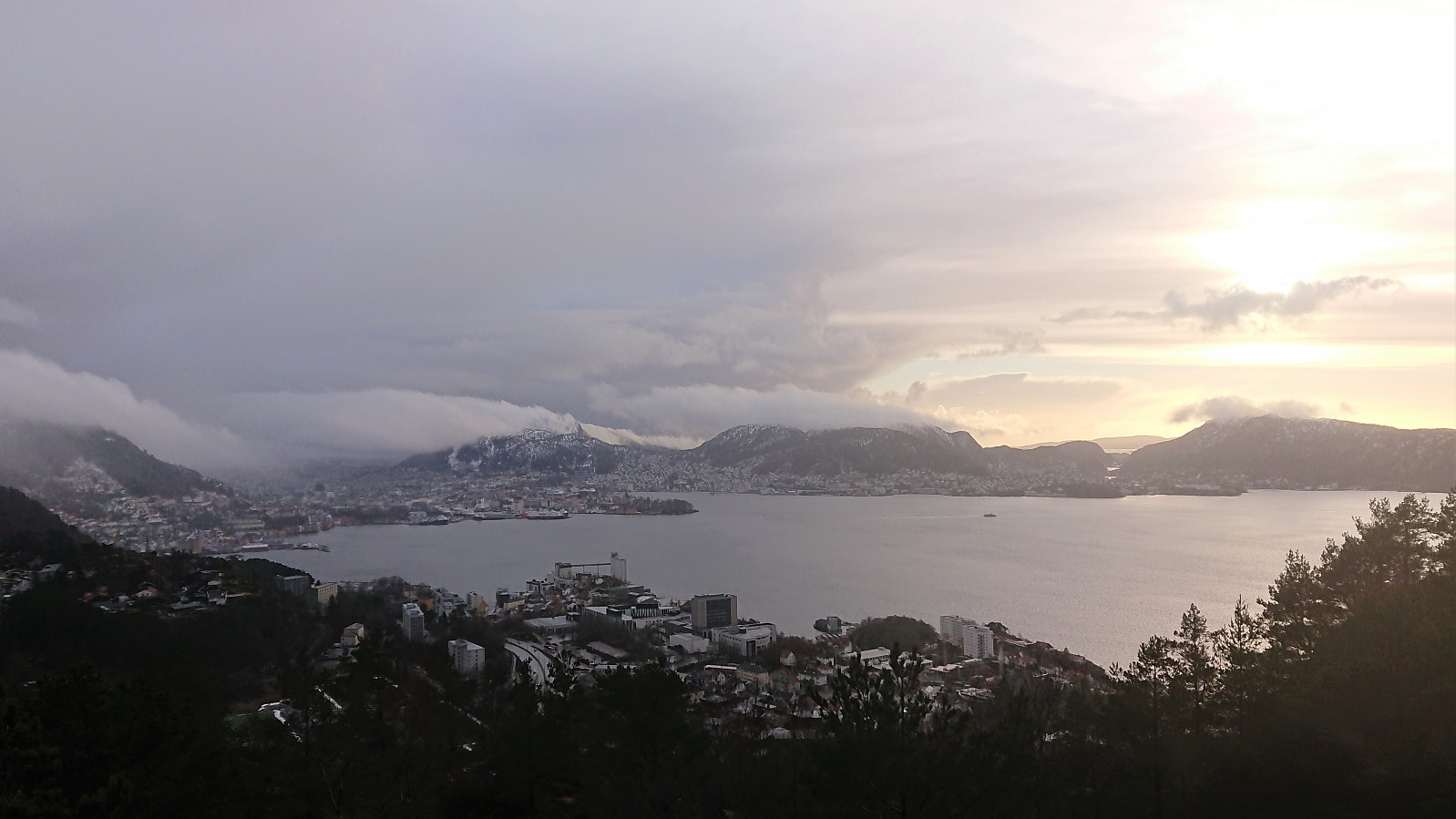
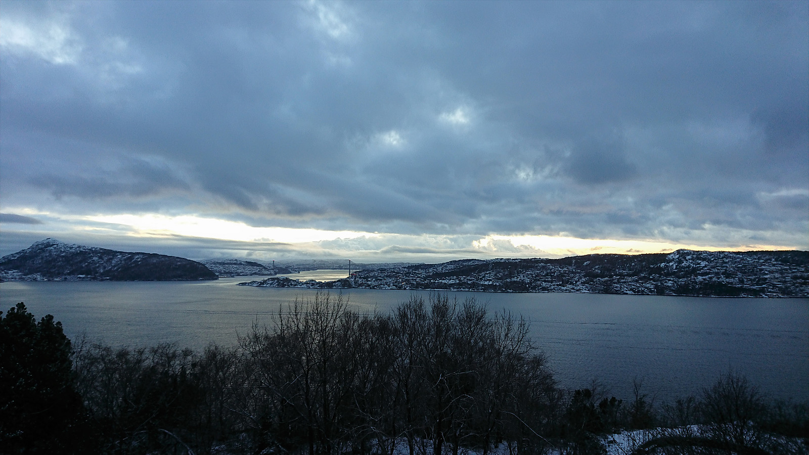 Local hike just after sunset.
Ørneberget and Hellen festning
- Datum:
- 27.01.2021
- Tourcharakter:
- Bergtour
- Tourlänge:
- 1:03h
- Entfernung:
- 4,1km
 Short local hike just after sunset.
Hellen festning and Furukammen
- Datum:
- 26.01.2021
- Tourcharakter:
- Wanderung
- Tourlänge:
- 1:34h
- Entfernung:
- 5,1km
 Short local hike just after sunset.
Across Hellen festning
- Datum:
- 25.01.2021
- Tourcharakter:
- Wanderung
- Tourlänge:
- 0:37h
- Entfernung:
- 3,1km
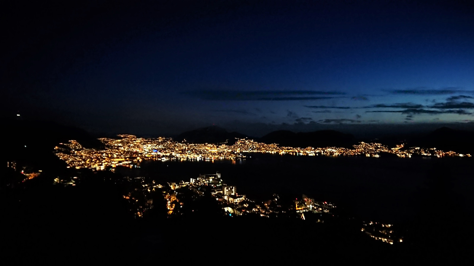
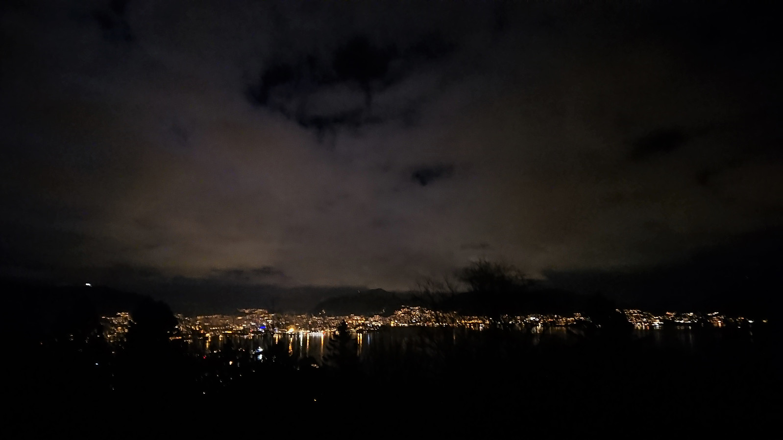 Short local evening hike.
Across Vidden via Grøvlevatnet and Hauggjelsvarden
- Datum:
- 24.01.2021
- Tourcharakter:
- Tourenskilauf
- Tourlänge:
- 6:23h
- Entfernung:
- 25,6km
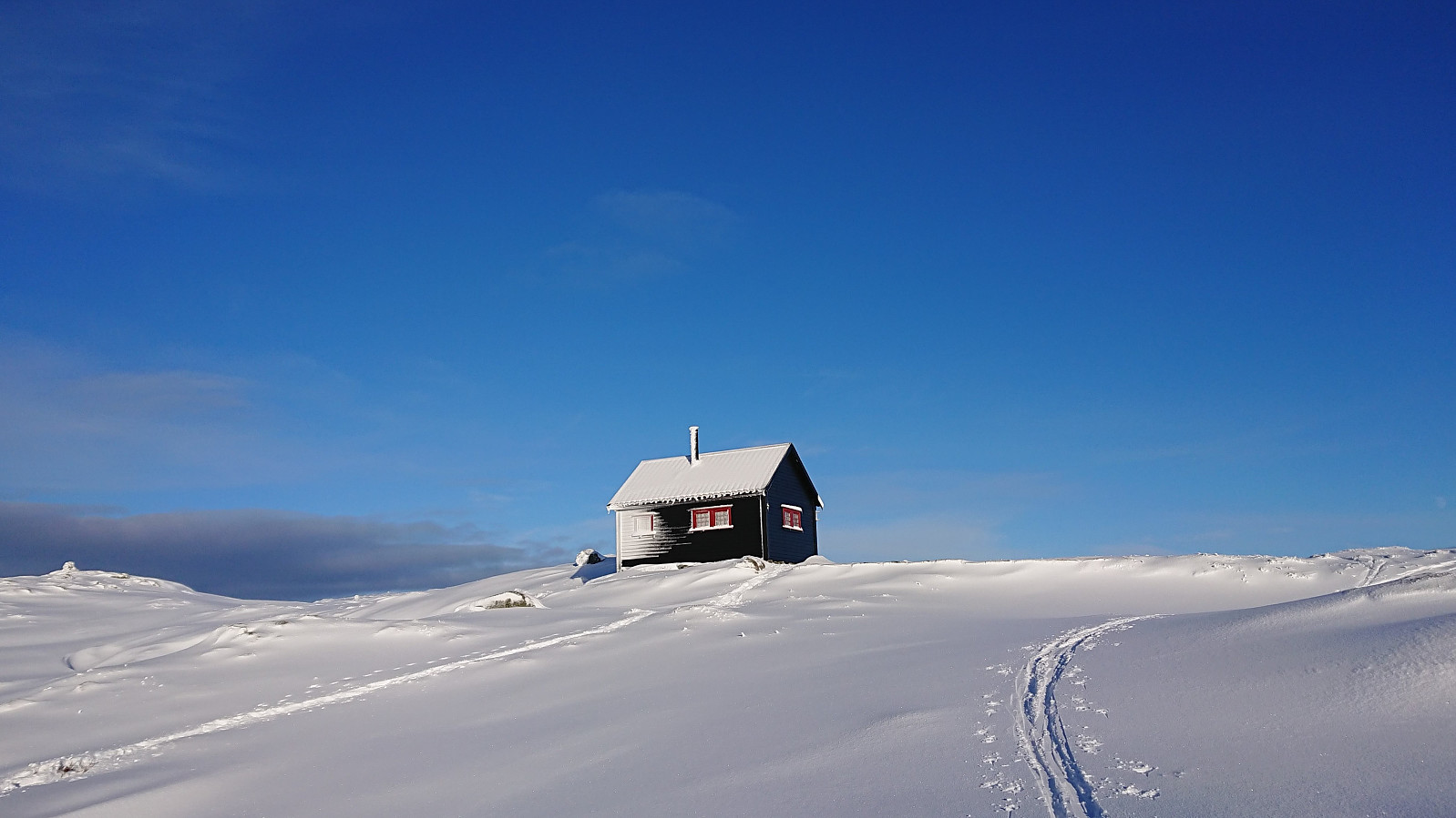 We started by taking the bus to Montana and carried our skis up to Perabu . From there we skied south to Gløvrevatnet and followed the ridge up to Lidskjalv . After passing by Noreg and Turnerhytten , I made a quick detour on my own to the highest point at Byfjellene , before we followed the typical skiing route across Vidden and onwards to Brushytten . Overall excellent skiing conditions all the way until leaving "lysløypen" and heading for Storediket. Here the snow was increasingly replaced by ice. I still managed to keep the skis on until getting to Vannverkshuset i Skiveien , where I finally gave up and carried the skis for the rest of the trip.
Ørneberget
- Datum:
- 23.01.2021
- Tourcharakter:
- Bergtour
- Tourlänge:
- 2:27h
- Entfernung:
- 6,4km
 Short local partly off-trail hike to avoid most of the ice.
Ørneberget
- Datum:
- 21.01.2021
- Tourcharakter:
- Bergtour
- Tourlänge:
- 1:00h
- Entfernung:
- 4,4km
 Short local evening hike on ice-covered roads and trails.
