Archive - Date
Archive - Activity
-
Bike trip (111)
- Bike trip - mixed (25)
- Bike trip - road (86)
-
Drive (9)
- Car drive (9)
-
Other trip (3)
- Kayaking (3)
-
Ski trip (116)
- Backcountry skiing (69)
- Cross-country skiing (47)
- Trip by foot (1897)
Collected lists
-
Utvalgte topper og turmål i Bergen
(349/351)
 99%
99% -
Alle topper i Bergen
(393/400)
98%
-
Voss ≥ 100m pf.
(96/98)
97%
-
Opptur Hordaland
(144/159)
90%
-
Stasjoner på Bergensbanen
(33/40)
82%
-
Ulvik ≥ 100m pf.
(30/38)
78%
-
Hordaland ≥ 100m pf.
(624/863)
72%
-
Mjølfjell PF > 100m
(21/31)
67%
-
Jondal ≥ 100m pf.
(15/23)
65%
-
Dagsturhyttene i Vestland
(36/61)
59%
-
Sunnhordland PF >= 100m
(105/186)
56%
-
Hordaland: Hardanger PF>=100m
(196/359)
54%
-
DNT-hytter i Hordaland
(23/45)
51%
-
Kvinnherad ≥ 100m pf.
(40/79)
50%
-
Eidfjord ≥ 100m pf.
(13/42)
30%
-
Sogndal ≥ 100m pf.
(23/81)
28%
-
Gulen ≥ 100m pf.
(15/54)
27%
-
Vik i Sogn ≥ 100m pf.
(10/46)
21%
-
Sogn - Sør for Sognefjorden PF>=100m
(31/159)
19%
-
DNT-hytter i Sogn og Fjordane
(8/47)
17%

Across Hellen festning
- Date:
- 17.12.2021
- Characteristic:
- Hike
- Duration:
- 0:37h
- Distance:
- 3.2km
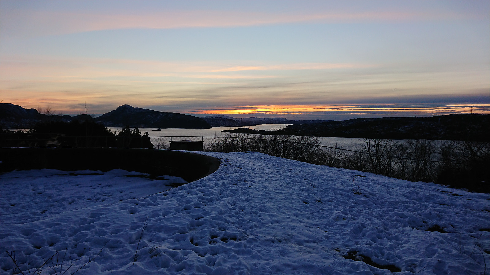
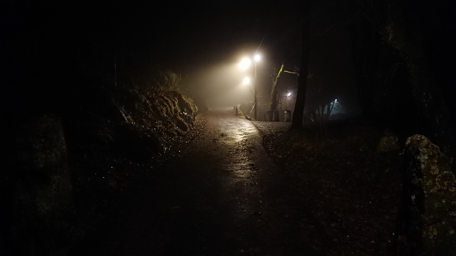 Short local evening hike in the fog.
Ørneberget and Hellen festning
- Date:
- 16.12.2021
- Characteristic:
- Hillwalk
- Duration:
- 0:55h
- Distance:
- 4.2km
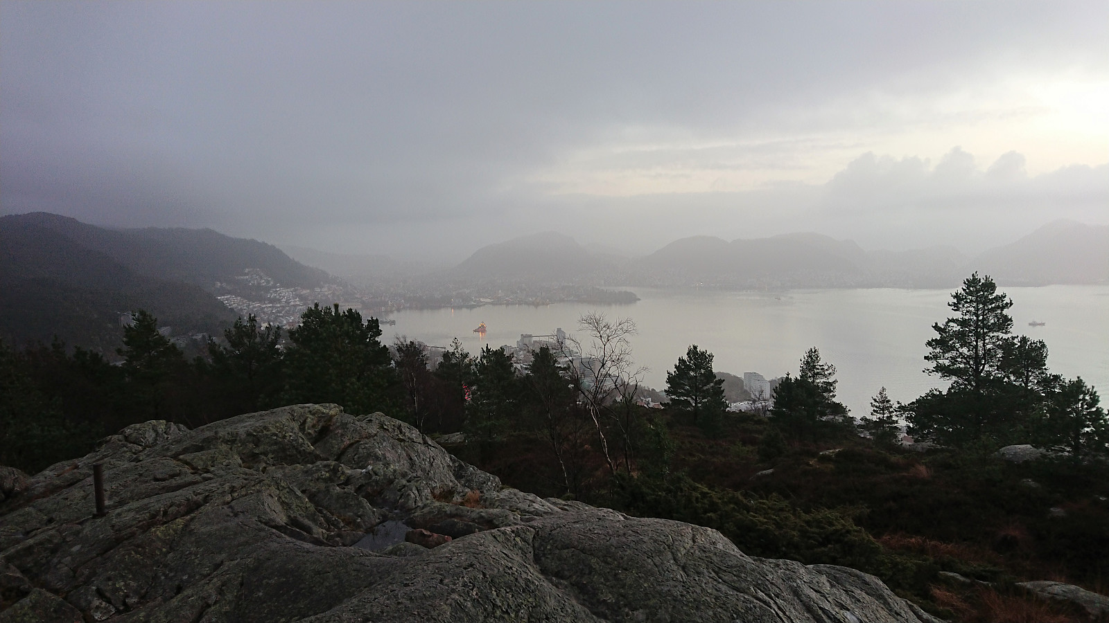 Short local hike before it got dark.
Helleneset and Hellen festning
- Date:
- 12.12.2021
- Characteristic:
- Hike
- Duration:
- 1:02h
- Distance:
- 4.3km
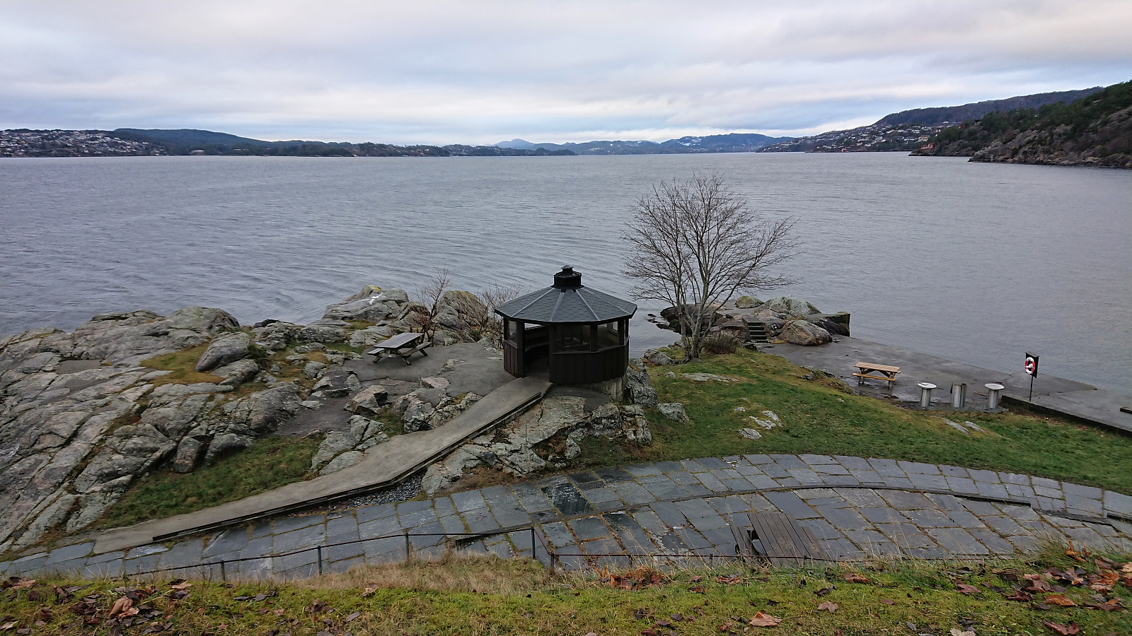 Short local hike on an overall gray Sunday.
Svartetjørnfjellet from Storevatnet
- Date:
- 11.12.2021
- Characteristic:
- Hillwalk
- Duration:
- 4:12h
- Distance:
- 9.1km
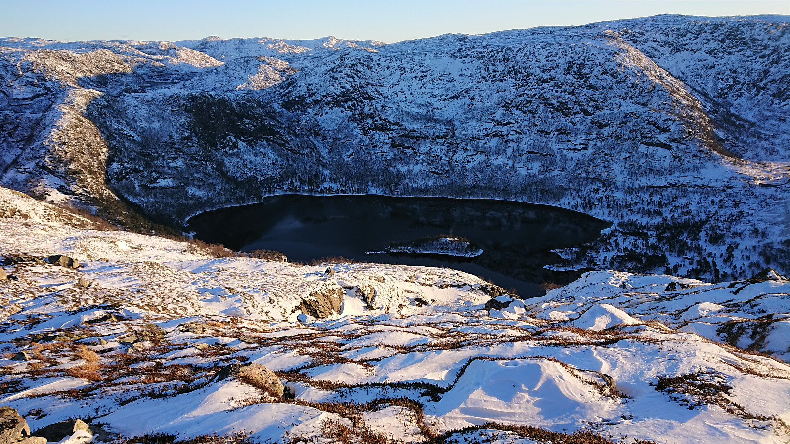 Most of the earlier trip reports for Svartetjørnfjellet also include Lauvtonipa and start from Bjørnekletten southeast of the summit. However, arntfla (Arnt Flatmo) 's external trip report presented an alternative route which instead ascended Svartetjørnfjellet via the ridge from the northeast. This would both reduce the distance I would have to walk along the road and was also more compatible with the buses I had in mind for this Saturday.
I therefore started by taking the bus to Storevatnet and got off at the bus stop called "Nedre Storavatn". After crossing under the main road, I followed the smaller road north/northeast along Storevatnet to where Arnt had indicated that the trail was starting, or at least had started almost 20 years ago. That I would be able to spot any traces of this trail was perhaps too optimistic though. I had even hoped that >>>
Most of the earlier trip reports for Svartetjørnfjellet also include Lauvtonipa and start from Bjørnekletten southeast of the summit. However, arntfla (Arnt Flatmo) 's external trip report presented an alternative route which instead ascended Svartetjørnfjellet via the ridge from the northeast. This would both reduce the distance I would have to walk along the road and was also more compatible with the buses I had in mind for this Saturday.
I therefore started by taking the bus to Storevatnet and got off at the bus stop called "Nedre Storavatn". After crossing under the main road, I followed the smaller road north/northeast along Storevatnet to where Arnt had indicated that the trail was starting, or at least had started almost 20 years ago. That I would be able to spot any traces of this trail was perhaps too optimistic though. I had even hoped that >>>
Hellen festning
- Date:
- 10.12.2021
- Characteristic:
- Hike
- Duration:
- 0:36h
- Distance:
- 2.7km
 Short local hike just after sunset.
Ørneberget
- Date:
- 09.12.2021
- Characteristic:
- Hillwalk
- Duration:
- 0:43h
- Distance:
- 2.5km
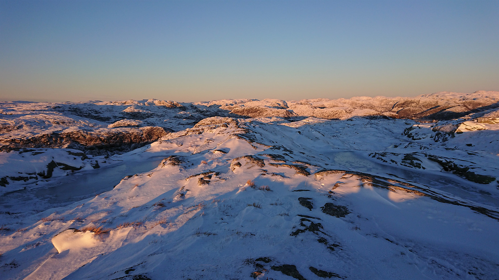
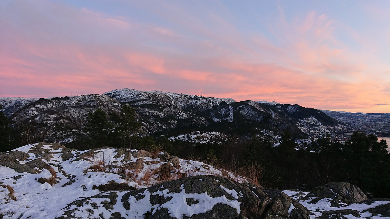 Left the home office early to almost catch the sunset at an ice-covered Ørneberget .
Hellen festning
- Date:
- 08.12.2021
- Characteristic:
- Hike
- Duration:
- 0:36h
- Distance:
- 2.7km
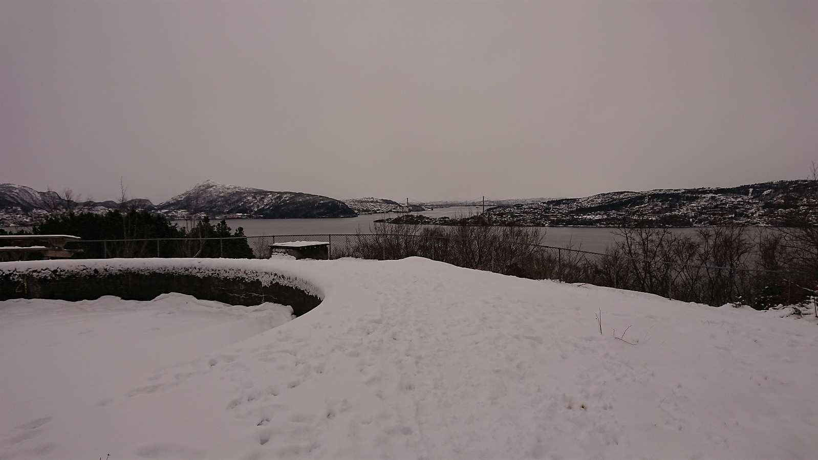
 Short local evening hike to an ice-covered Hellen festning after once again being back to working from the home office due to the COVID situation...
Five small hills north of Myrdalsvatnet
- Date:
- 05.12.2021
- Characteristic:
- Hillwalk
- Duration:
- 3:36h
- Distance:
- 12.3km
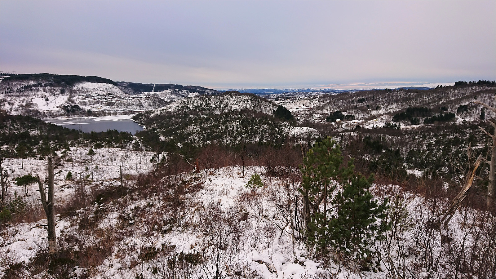 A return to Myrdalsvatnet for a visit of the five remaining small hills to the north. Nice views from Limesbrotet and Kattuglehaugane / Barkahaugane , which could all be reached fairly easily. Kattuglefjellet and Fjellet on the other hand had limited views and lots of vegetation to fight with. It was probably a good choice to visit all of these summits in the winter time. I also passed by the remains of Johnsahytta and made a short detour to Myrdal Våpenlager . Overall, not the most exiting hike but still ok. Pretty sure these will be my only visits to all of the summits involved though.
Hellen festning and Furukammen
- Date:
- 04.12.2021
- Characteristic:
- Hike
- Duration:
- 2:25h
- Distance:
- 5.0km
 Short local hike in light snow showers.
Brydalsfjellet from Fossen
- Date:
- 28.11.2021
- Characteristic:
- Hillwalk
- Duration:
- 2:02h
- Distance:
- 5.6km
 After our visit of Bjørnshiklanten , me and petter (Petter Bjørstad) figured out that we had to make the best out of the excellent weather and decided to also include a visit of Brydalsfjellet . We parked next to the vantage point beside the road overlooking the waterfall at Fossen, and from there basically followed in the footsteps of GeirL (Geir Lie) (see his report here ).
Initially the trail was very weak, but it soon became clear that we were actually following a trail, and it would overall have been easy to follow if it had not been for the ice. We therefore had to go a bit slow and careful at the start until the trail turned northeast towards the summit. The trail seemed to continue up the ridge, but given that it was largely hidden underneath the snow it was a bit hard to tell. We were therefore thankfull when we met another hiker coming the other way, as we >>>
After our visit of Bjørnshiklanten , me and petter (Petter Bjørstad) figured out that we had to make the best out of the excellent weather and decided to also include a visit of Brydalsfjellet . We parked next to the vantage point beside the road overlooking the waterfall at Fossen, and from there basically followed in the footsteps of GeirL (Geir Lie) (see his report here ).
Initially the trail was very weak, but it soon became clear that we were actually following a trail, and it would overall have been easy to follow if it had not been for the ice. We therefore had to go a bit slow and careful at the start until the trail turned northeast towards the summit. The trail seemed to continue up the ridge, but given that it was largely hidden underneath the snow it was a bit hard to tell. We were therefore thankfull when we met another hiker coming the other way, as we >>>
