Arkiv - dato
Arkiv - aktivitet
-
Annen tur (3)
- Kajakkpadling (3)
- Fottur (1897)
-
Kjøretur (9)
- Biltur (9)
-
Skitur (116)
- Fjellskitur (69)
- Langrennstur (47)
-
Sykkeltur (111)
- Blandet sykling (25)
- Gatesykling (86)
Lister jeg samler etter
-
Utvalgte topper og turmål i Bergen
(349/351)
 99%
99% -
Alle topper i Bergen
(393/400)
98%
-
Voss ≥ 100m pf.
(96/98)
97%
-
Opptur Hordaland
(144/159)
90%
-
Stasjoner på Bergensbanen
(33/40)
82%
-
Ulvik ≥ 100m pf.
(30/38)
78%
-
Hordaland ≥ 100m pf.
(624/863)
72%
-
Mjølfjell PF > 100m
(21/31)
67%
-
Jondal ≥ 100m pf.
(15/23)
65%
-
Dagsturhyttene i Vestland
(36/61)
59%
-
Sunnhordland PF >= 100m
(105/186)
56%
-
Hordaland: Hardanger PF>=100m
(196/359)
54%
-
DNT-hytter i Hordaland
(23/45)
51%
-
Kvinnherad ≥ 100m pf.
(40/79)
50%
-
Eidfjord ≥ 100m pf.
(13/42)
30%
-
Sogndal ≥ 100m pf.
(23/81)
28%
-
Gulen ≥ 100m pf.
(15/54)
27%
-
Vik i Sogn ≥ 100m pf.
(10/46)
21%
-
Sogn - Sør for Sognefjorden PF>=100m
(31/159)
19%
-
DNT-hytter i Sogn og Fjordane
(8/47)
17%

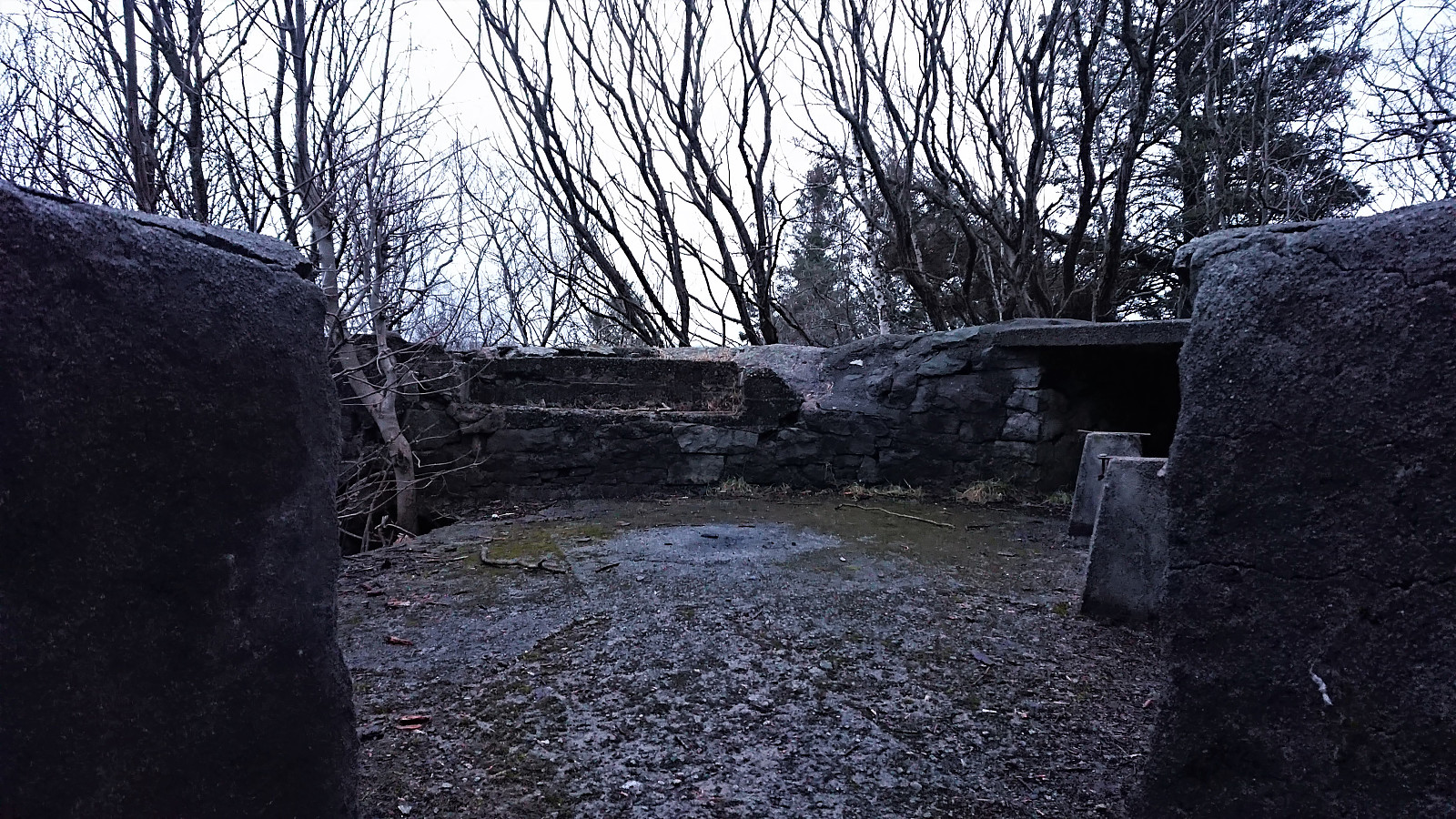
Across Hellen festning
- Dato:
- 31.03.2020
- Turtype:
- Fottur
- Turlengde:
- 0:35t
- Distanse:
- 3,5km
 Short local evening hike.
Sandviksbatteriet and Ørneberget
- Dato:
- 30.03.2020
- Turtype:
- Fjelltur
- Turlengde:
- 1:43t
- Distanse:
- 9,2km
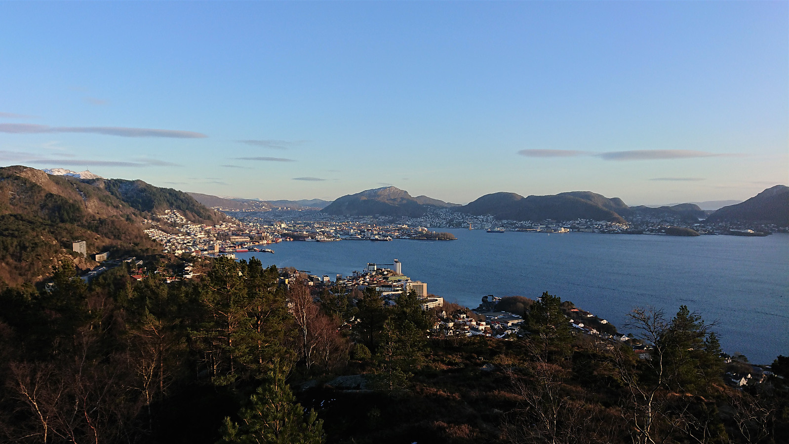 Local evening hike in excellent conditions.
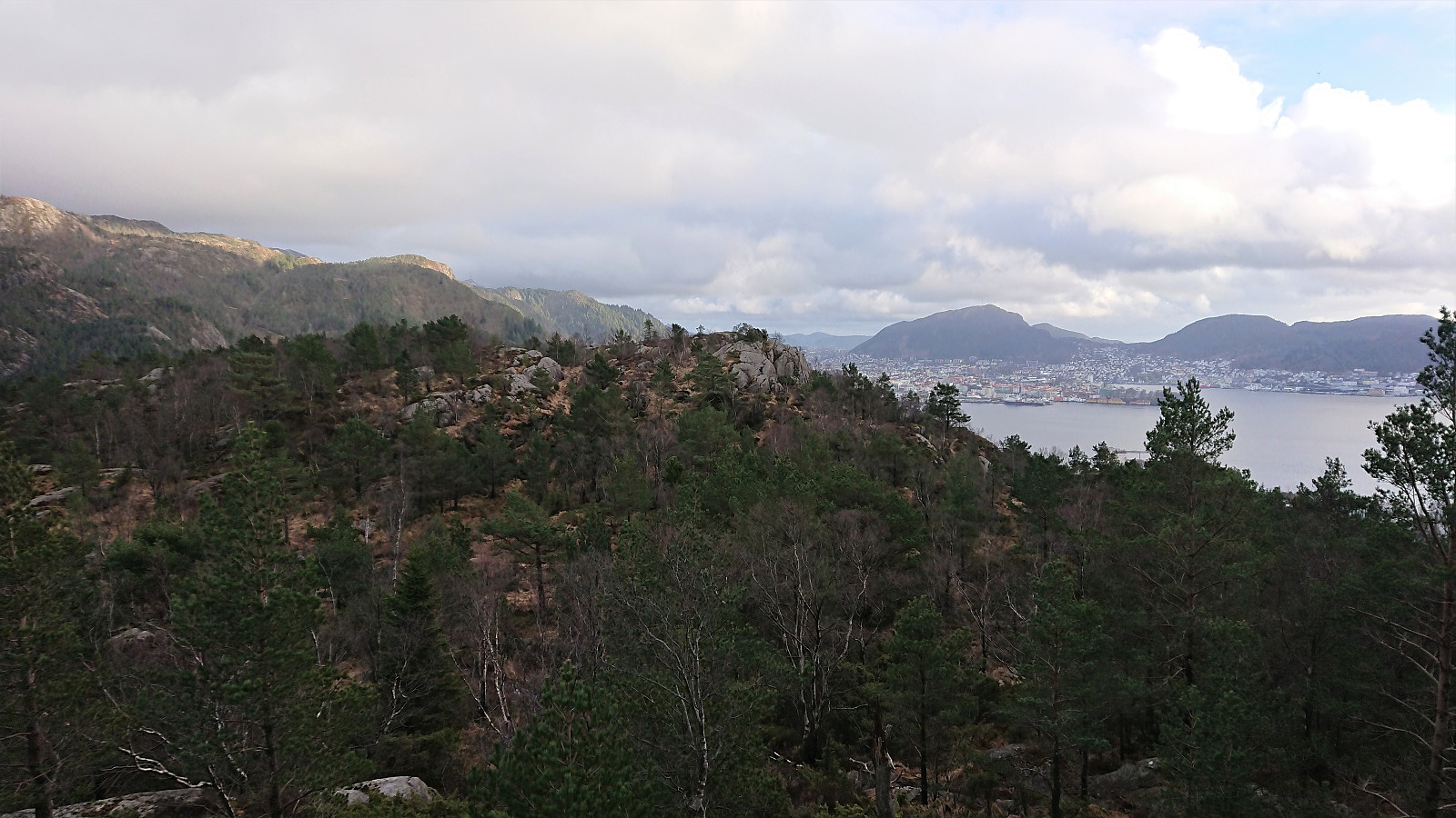
Ørneberget, Rognåsen and Håmanen
- Dato:
- 29.03.2020
- Turtype:
- Fjelltur
- Turlengde:
- 1:43t
- Distanse:
- 7,7km
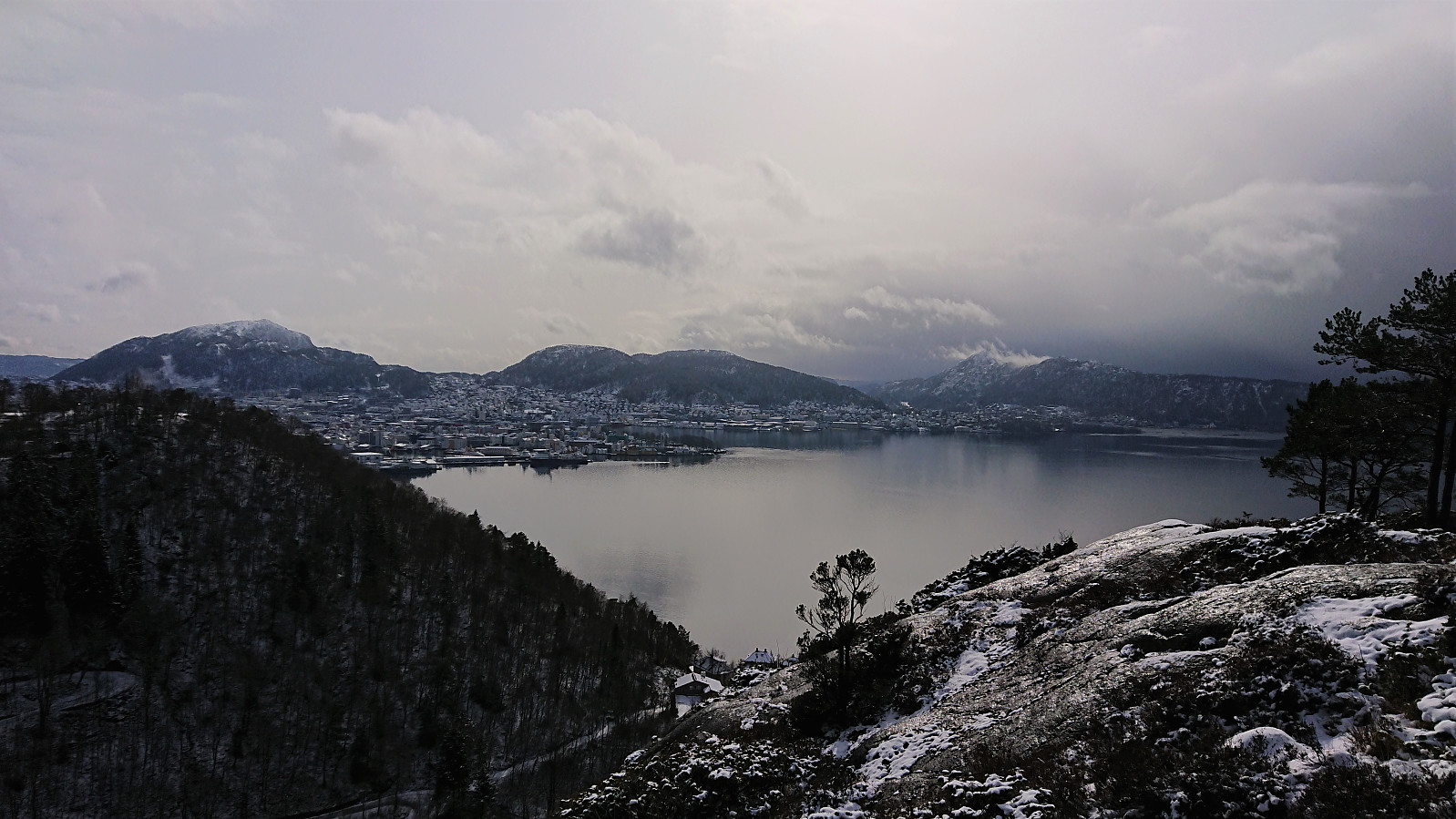 After a morning of wet snow coming down from above, I was lucky to start my hike just as the sun came out, and besides a short period when I was descending from Håmanen the weather stayed that way for the whole hike, resulting in a much more enjoyable hike than expected.
Norrønavarden
- Dato:
- 28.03.2020
- Turtype:
- Fjelltur
- Turlengde:
- 4:53t
- Distanse:
- 20,4km
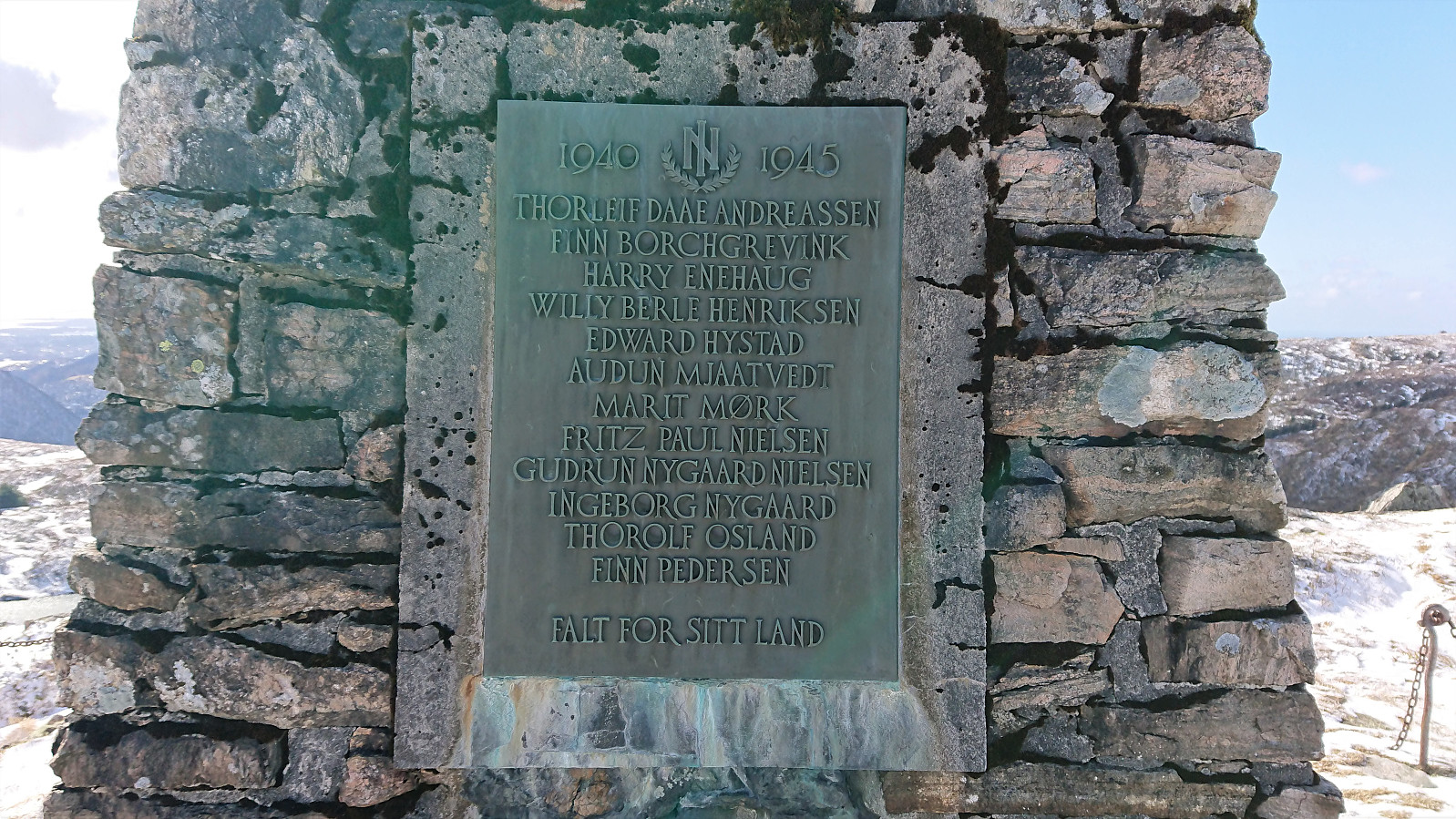 I've always thought about visiting Norrønavarden when in the area, but given the minor detour required I'd never gotten around to it. But with the Coronavirus restrictions currently making it impossible to get to new peaks, I was in need for a different type of hiking goal today. Much stronger winds than expected at Vidden, but also less ice. I also made a quick visit to the remains of Norrønahytten , before crossing over Rundemanen on the way home.
Ørneberget, Rognåsen and Håmanen
- Dato:
- 27.03.2020
- Turtype:
- Fjelltur
- Turlengde:
- 1:38t
- Distanse:
- 7,6km
 Pretty much a repeat of yesterday's hike. But this time in much better weather and with GPS tracking for almost all of the hike.
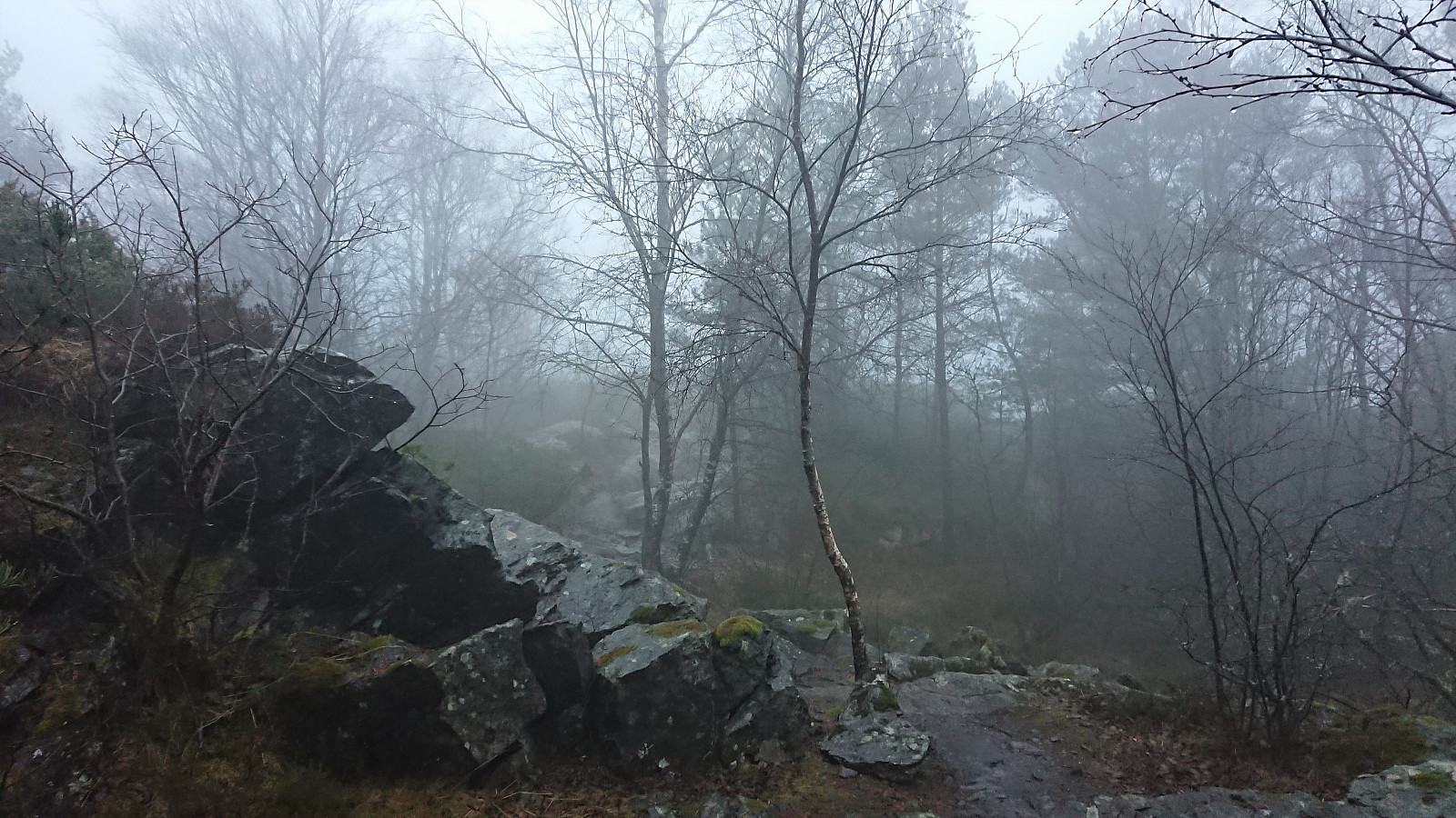
Ørneberget, Rognåsen and Håmanen
- Dato:
- 26.03.2020
- Turtype:
- Fjelltur
- Turlengde:
- 1:23t
- Distanse:
- 7,6km
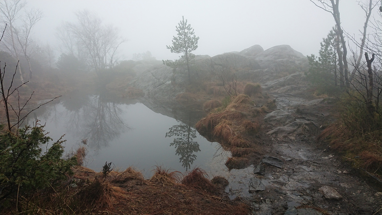 Another short local hike in dense fog. The Norgeskart app refused to track the hike, which I of course did not realize until near the end of the hike. The GPS track is therefore manually created and may not be all that accurate. Should be close enough though.
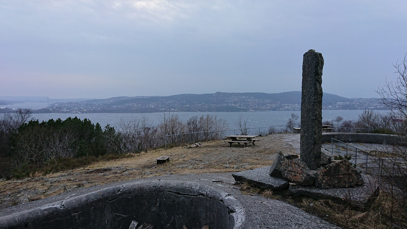
Ørneberget and Hellen festning
- Dato:
- 25.03.2020
- Turtype:
- Fjelltur
- Turlengde:
- 1:07t
- Distanse:
- 5,4km
 Short local hike across Ørneberget and Hellen festning. The strong winds from yesterday had died down, but instead replaced by fog and constant rain.
Across Hellen festning
- Dato:
- 24.03.2020
- Turtype:
- Fottur
- Turlengde:
- 0:35t
- Distanse:
- 3,1km
 Short local evening hike in even stronger winds than yesterday.
Ørneberget and Rognåsen
- Dato:
- 23.03.2020
- Turtype:
- Fjelltur
- Turlengde:
- 1:16t
- Distanse:
- 6,1km
 Yet another short local evening hike, this time in strong winds across Ørneberget and Rognåsen.
Hellen festning and Ørneberget
- Dato:
- 22.03.2020
- Turtype:
- Fjelltur
- Turlengde:
- 1:03t
- Distanse:
- 4,9km
 Another short local hike.
