Arkiv - dato
Arkiv - aktivitet
-
Annen tur (3)
- Kajakkpadling (3)
- Fottur (1897)
-
Kjøretur (9)
- Biltur (9)
-
Skitur (116)
- Fjellskitur (69)
- Langrennstur (47)
-
Sykkeltur (111)
- Blandet sykling (25)
- Gatesykling (86)
Lister jeg samler etter
-
Utvalgte topper og turmål i Bergen
(349/351)
 99%
99% -
Alle topper i Bergen
(393/400)
98%
-
Voss ≥ 100m pf.
(96/98)
97%
-
Opptur Hordaland
(144/159)
90%
-
Stasjoner på Bergensbanen
(33/40)
82%
-
Ulvik ≥ 100m pf.
(30/38)
78%
-
Hordaland ≥ 100m pf.
(624/863)
72%
-
Mjølfjell PF > 100m
(21/31)
67%
-
Jondal ≥ 100m pf.
(15/23)
65%
-
Dagsturhyttene i Vestland
(36/61)
59%
-
Sunnhordland PF >= 100m
(105/186)
56%
-
Hordaland: Hardanger PF>=100m
(196/359)
54%
-
DNT-hytter i Hordaland
(23/45)
51%
-
Kvinnherad ≥ 100m pf.
(40/79)
50%
-
Eidfjord ≥ 100m pf.
(13/42)
30%
-
Sogndal ≥ 100m pf.
(23/81)
28%
-
Gulen ≥ 100m pf.
(15/54)
27%
-
Vik i Sogn ≥ 100m pf.
(10/46)
21%
-
Sogn - Sør for Sognefjorden PF>=100m
(31/159)
19%
-
DNT-hytter i Sogn og Fjordane
(8/47)
17%

Hellen festning and Hellemyrstien
- Dato:
- 01.11.2020
- Turtype:
- Fottur
- Turlengde:
- 1:34t
- Distanse:
- 8,0km
 Short local hike in light rain.
Geithaugen
- Dato:
- 31.10.2020
- Turtype:
- Fjelltur
- Turlengde:
- 1:14t
- Distanse:
- 3,8km
 After the small expedition required to get to Solaråsen , I still had plenty of time before the bus back to Bergen and decided on a short bonus trip to Geithaugen . I started west along the main road before following Stamnesvegen to an unmarked trailhead east of the summit. The trail itself was weak, but the direction was pretty obvious. 100 meters east of the summit I connected with a marked trail and could shortly enjoy nice views from the summit, most notably providing an excellent overview of my earlier route to Solaråsen.
For the descent I followed the marked trail east and then north to a tractor road, which I could then follow back down to Stamnesvegen. This trail was of much better quality and was also sparkled with lots of wooden animals "hidden" at various locations. Not as exciting as the large real deer I came across at Fethaugen earlier >>>
After the small expedition required to get to Solaråsen , I still had plenty of time before the bus back to Bergen and decided on a short bonus trip to Geithaugen . I started west along the main road before following Stamnesvegen to an unmarked trailhead east of the summit. The trail itself was weak, but the direction was pretty obvious. 100 meters east of the summit I connected with a marked trail and could shortly enjoy nice views from the summit, most notably providing an excellent overview of my earlier route to Solaråsen.
For the descent I followed the marked trail east and then north to a tractor road, which I could then follow back down to Stamnesvegen. This trail was of much better quality and was also sparkled with lots of wooden animals "hidden" at various locations. Not as exciting as the large real deer I came across at Fethaugen earlier >>>
Solaråsen via Fethaugen
- Dato:
- 31.10.2020
- Turtype:
- Fjelltur
- Turlengde:
- 4:06t
- Distanse:
- 7,6km
 Warning: This hike includes steep off-trail descents in rugged terrain.
I had always assumed that reaching the summit of Solaråsen would require an initial transportation stage by boat, as this was the option used in all of the limited number of available trip reports. At least until I came across petter (Petter Bjørstad) 's external trip report indicating an alternative route starting from the private suspension bridge in Kuviki. While this route included a significant amount of both ascending and descending in rugged terrain (after initially following a marked trail around Fethaugen ), it did provide a land-based alternative and seemed doable.
After studying Petter's report in detail (as it did not include a GPS-track), I took the train and bus to Kuviki and got off at the bus stop called Kulshamar (or Kullshammar on the map). This landed me right on front >>>
Warning: This hike includes steep off-trail descents in rugged terrain.
I had always assumed that reaching the summit of Solaråsen would require an initial transportation stage by boat, as this was the option used in all of the limited number of available trip reports. At least until I came across petter (Petter Bjørstad) 's external trip report indicating an alternative route starting from the private suspension bridge in Kuviki. While this route included a significant amount of both ascending and descending in rugged terrain (after initially following a marked trail around Fethaugen ), it did provide a land-based alternative and seemed doable.
After studying Petter's report in detail (as it did not include a GPS-track), I took the train and bus to Kuviki and got off at the bus stop called Kulshamar (or Kullshammar on the map). This landed me right on front >>>
Såta and Våkefjellet from Holdhus
- Dato:
- 24.10.2020
- Turtype:
- Fjelltur
- Turlengde:
- 6:31t
- Distanse:
- 23,4km
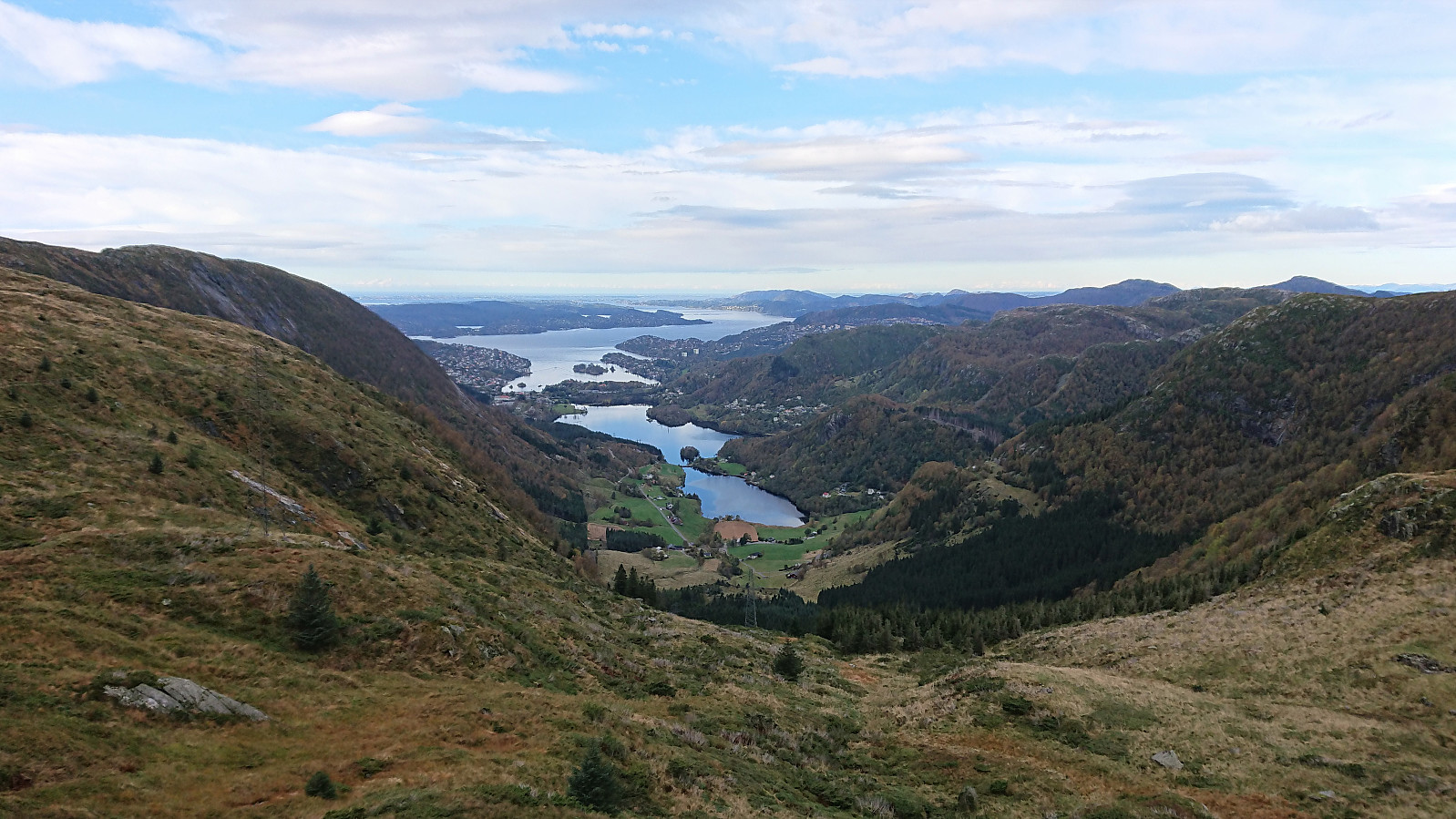
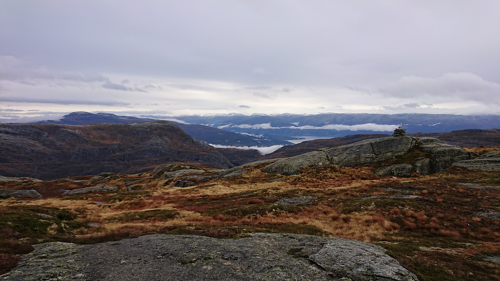 I started by taking the bus to Holdhus and from there following the paved roads to Berland and the marked trailhead for Såta and Våkefjellet . These 7.5 km took me about 1 hour 15 minutes and was actually nicer than expected. The highlight being Gjønavatnet and Eide. Berland also had a nice location, but the last kilometers up to it were not the most interesting given the limited views.
The marked trail began as a high-quality tractor road that soon became much rougher, before finally making the transition into an initially wet and muddy trail. The trail quality did however quickly improve, although there were still lots of wet sections that made me thankful for using my hiking boots today (even though that was not as appreciated during the longer walks along the road).
Within not too long I arrived at Såta, >>>
I started by taking the bus to Holdhus and from there following the paved roads to Berland and the marked trailhead for Såta and Våkefjellet . These 7.5 km took me about 1 hour 15 minutes and was actually nicer than expected. The highlight being Gjønavatnet and Eide. Berland also had a nice location, but the last kilometers up to it were not the most interesting given the limited views.
The marked trail began as a high-quality tractor road that soon became much rougher, before finally making the transition into an initially wet and muddy trail. The trail quality did however quickly improve, although there were still lots of wet sections that made me thankful for using my hiking boots today (even though that was not as appreciated during the longer walks along the road).
Within not too long I arrived at Såta, >>>
Litlanipa and Stornipa
- Dato:
- 22.10.2020
- Turtype:
- Fjelltur
- Turlengde:
- 1:33t
- Distanse:
- 3,2km
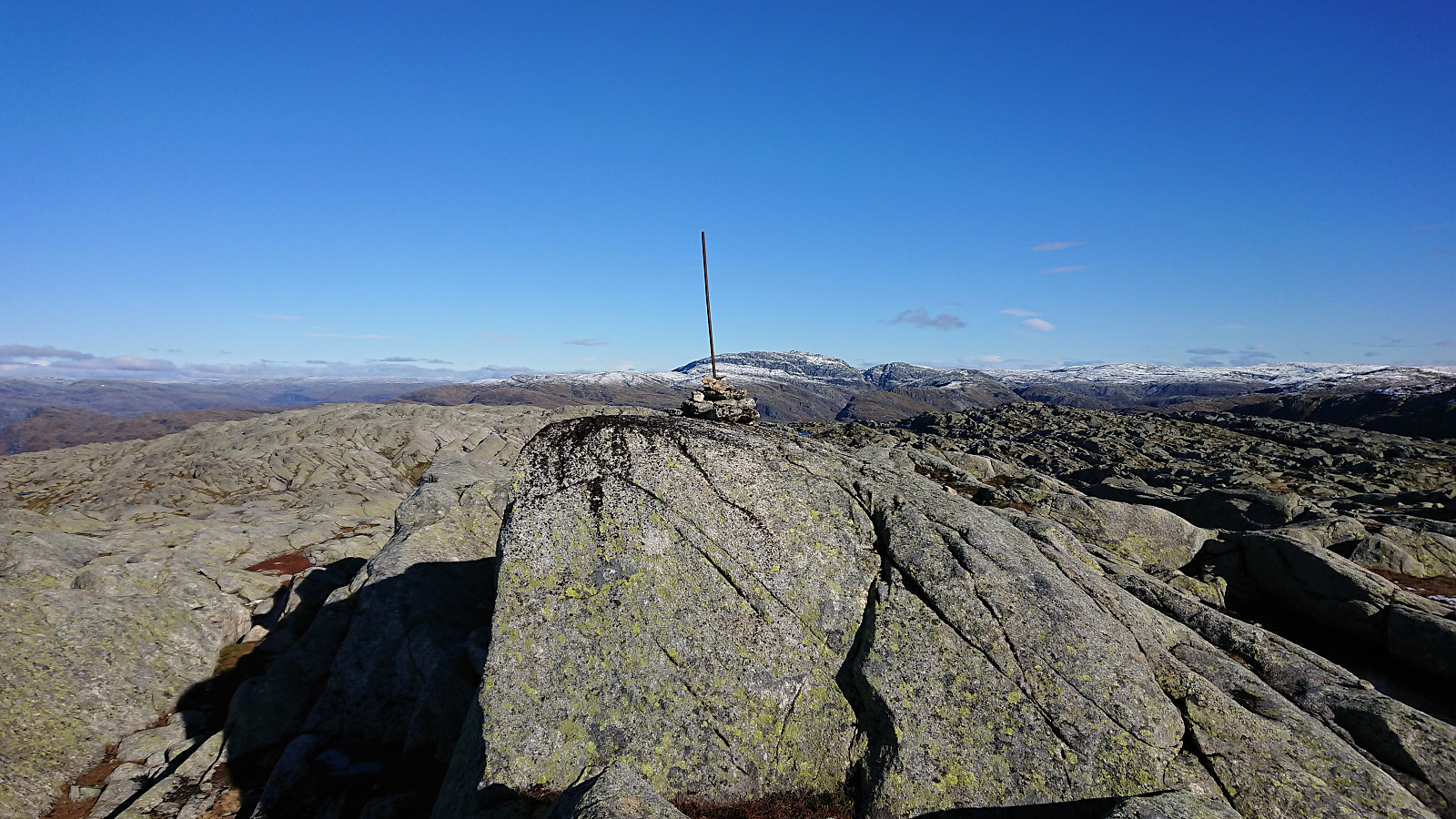
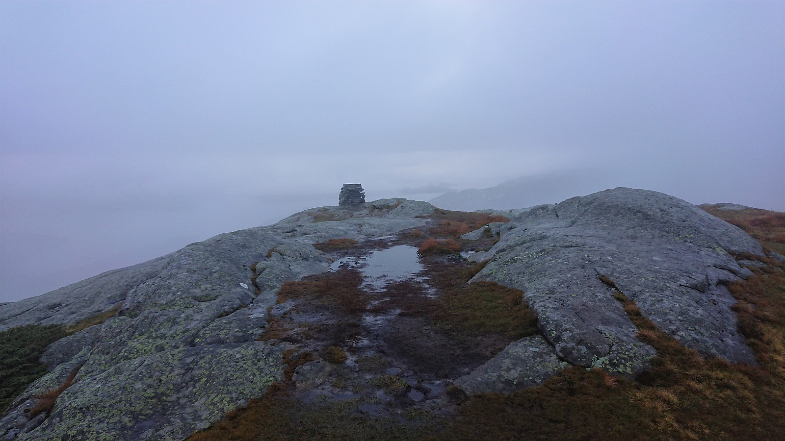 Short afternoon hike to a recently added small peak west of Storsåta in Åsane called Litlanipa . Before descending we also passed by the slightly higher Stornipa , which later was added as its own PB-element as well.
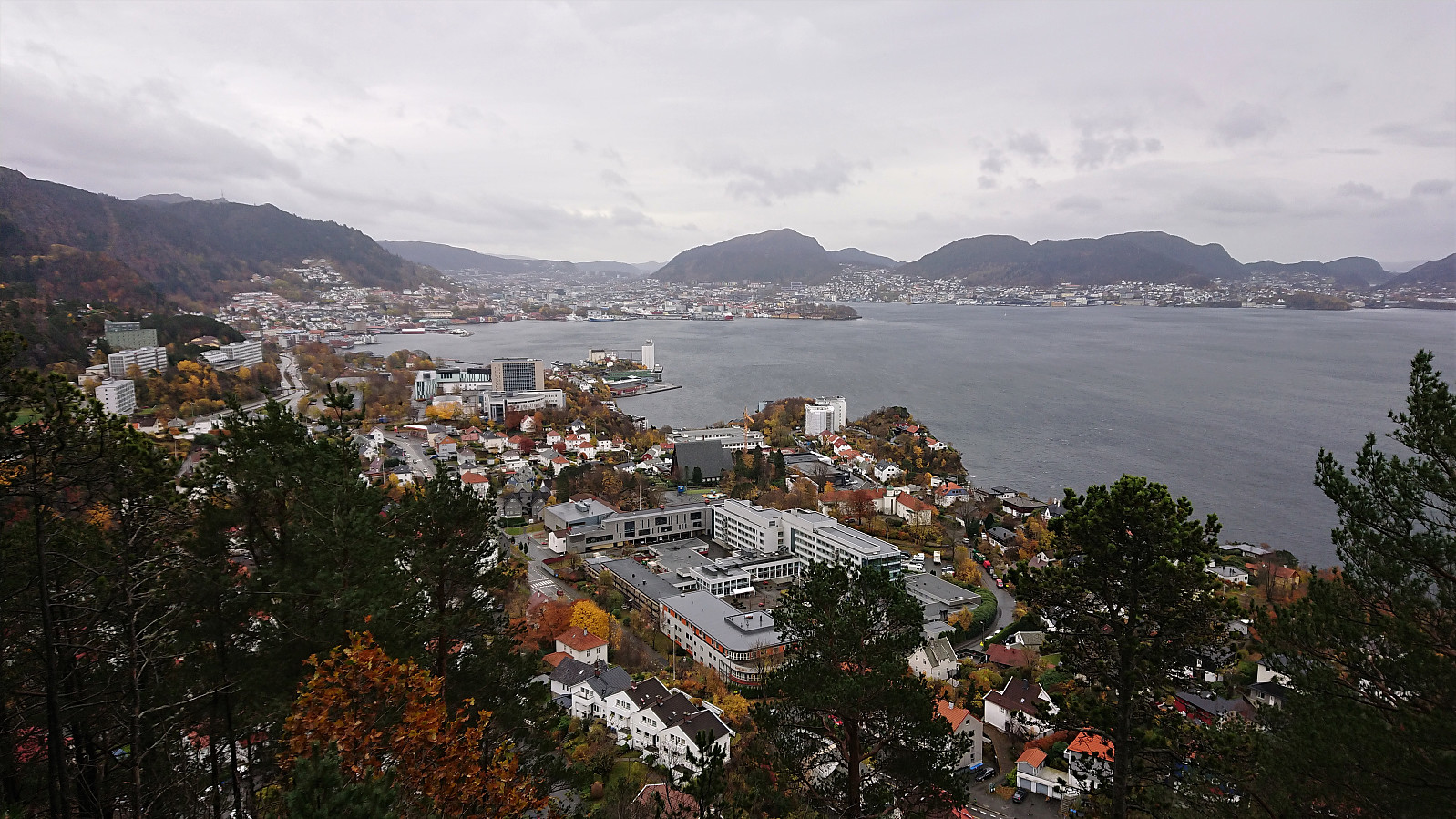
Rundemanen
- Dato:
- 18.10.2020
- Turtype:
- Fjelltur
- Turlengde:
- 3:11t
- Distanse:
- 15,1km
 Hike across Rundemanen from Bryggen to Lønborg.
Note: The last third of the track had to be recreated as the GPS stopped recording, hence the average speeds should be taken with a large grain of salt.
Hike across Rundemanen from Bryggen to Lønborg.
Note: The last third of the track had to be recreated as the GPS stopped recording, hence the average speeds should be taken with a large grain of salt.
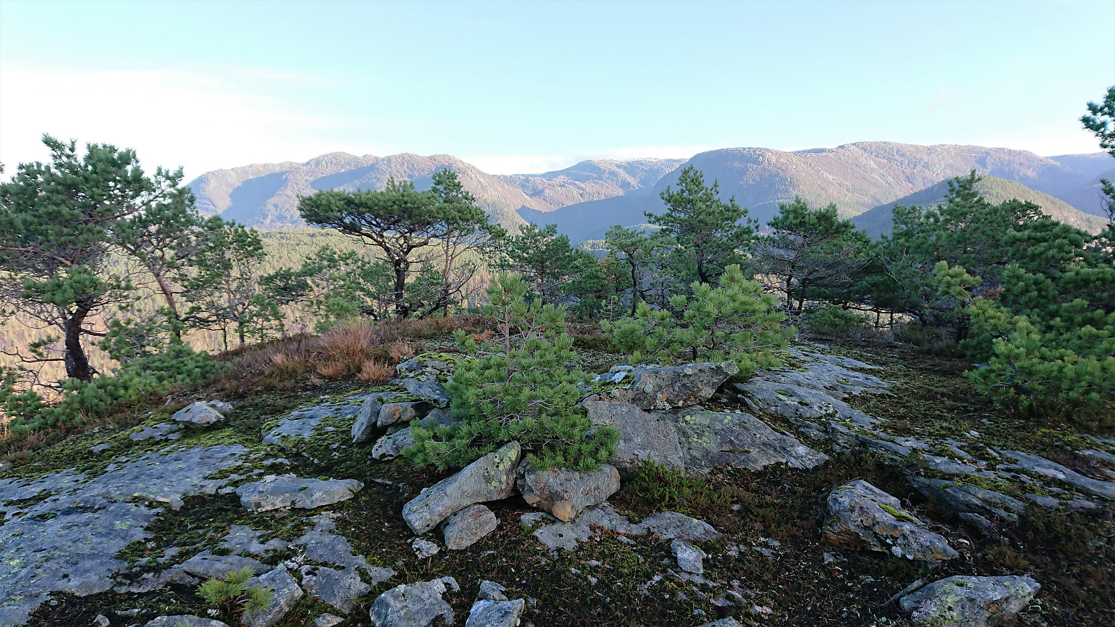
Melandsnipo and Krossfjellet
- Dato:
- 17.10.2020
- Turtype:
- Fjelltur
- Turlengde:
- 2:30t
- Distanse:
- 8,5km
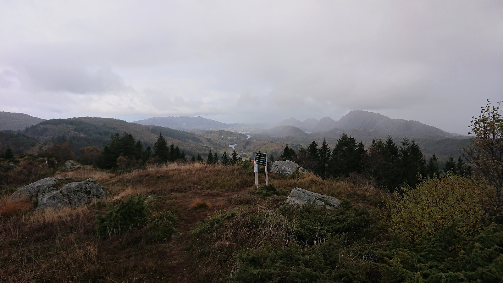 I started by taking the bus (or rather buses, four in total, the last three with scheduled connections) to Meland (bus stop "Meland sør") and from there following the road to the marked trailhead west of Nordnipa that I had discovered on my recent cycling trip to the area . The trail/road started out rather wet, but this improved when the trail started climbing towards the summit.
At the summit area there were at least three distinct summits and it was difficult to confidently identify the highest point. It was however clear that the two southern summits, jointly referred to as Sørnipa on the map, are slightly higher than the northern one, referred to as Nordnipa on the map. The information sign at the trailhead refers to Sørnipa as Melandsnipo, but which of the two southern summits it refers to is unclear.
I later checked >>>
I started by taking the bus (or rather buses, four in total, the last three with scheduled connections) to Meland (bus stop "Meland sør") and from there following the road to the marked trailhead west of Nordnipa that I had discovered on my recent cycling trip to the area . The trail/road started out rather wet, but this improved when the trail started climbing towards the summit.
At the summit area there were at least three distinct summits and it was difficult to confidently identify the highest point. It was however clear that the two southern summits, jointly referred to as Sørnipa on the map, are slightly higher than the northern one, referred to as Nordnipa on the map. The information sign at the trailhead refers to Sørnipa as Melandsnipo, but which of the two southern summits it refers to is unclear.
I later checked >>>
Norhytten and Vikinghytten
- Dato:
- 15.10.2020
- Turtype:
- Fjelltur
- Turlengde:
- 3:47t
- Distanse:
- 11,0km
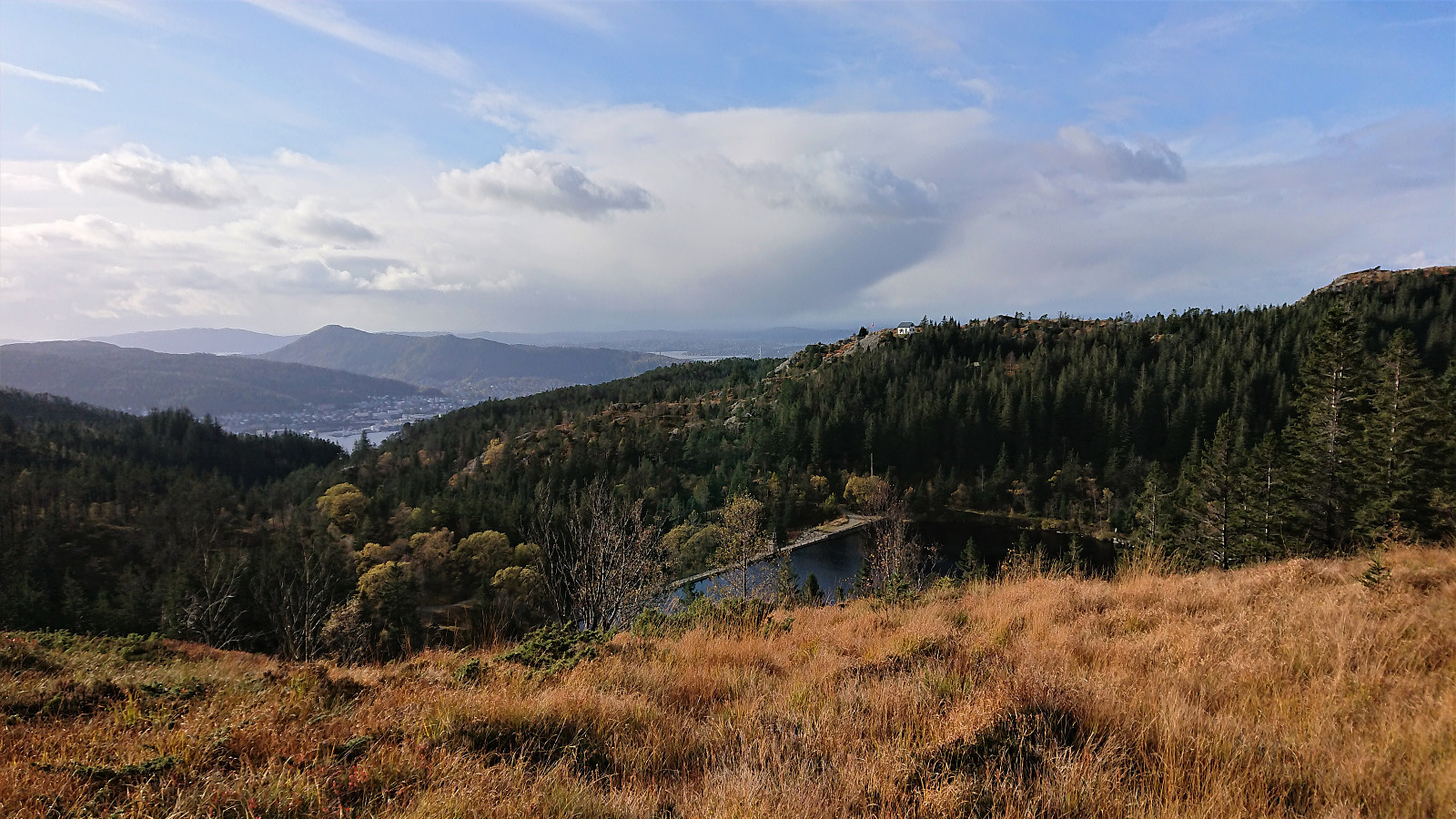
 Late afternoon hike from the parking lot at Hjortland with the main goal to visit the final two objects with their own Byfjellene address , specifically two emergency sleds: one north of Norhytten and one along the descent from Vikinghytten to Hjortlandsvegen. Note that the summer trail up to Norhytten is different from the one indicated on the map, which is closer to the route used when skiing, and was overall of quite good quality as soon as the initial wet areas had been traversed. Although it did have its wet sections when getting closer to Norhytten as well.
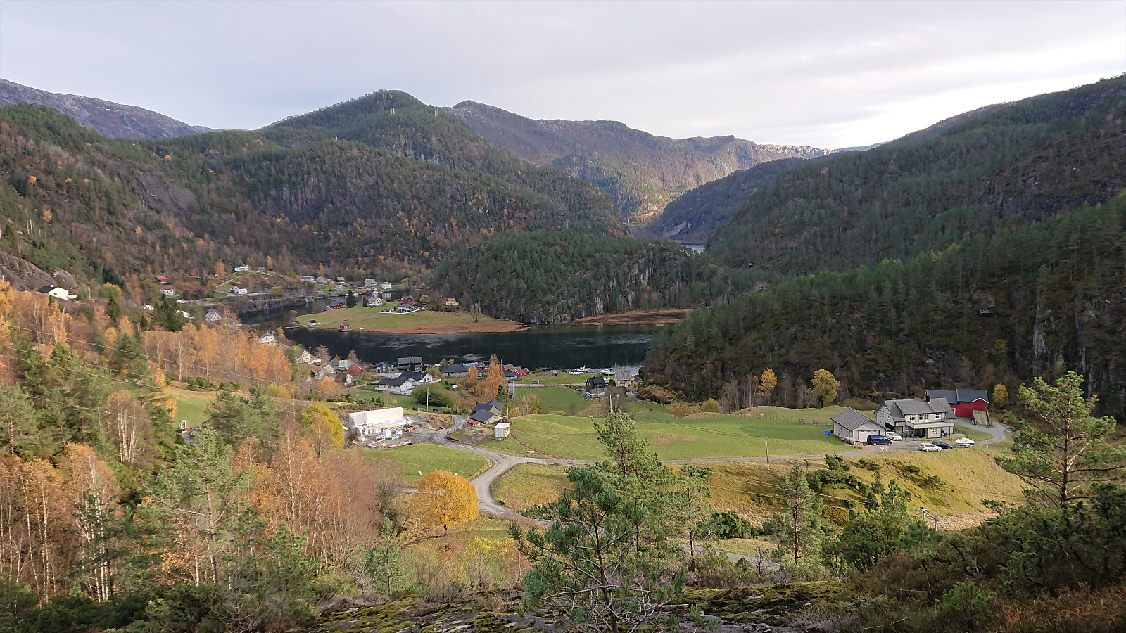
Budalshovden from Evanger
- Dato:
- 11.10.2020
- Turtype:
- Fjelltur
- Turlengde:
- 5:58t
- Distanse:
- 19,2km
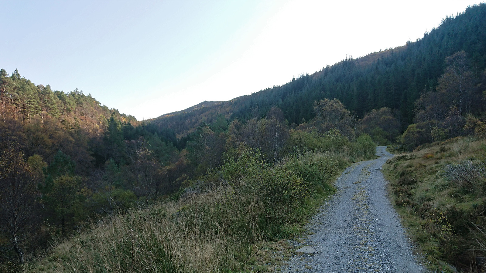
 I started by taking the train to Evanger and in increasingly thicker fog followed the paved road up to Elge. Thankfully the fog started lifting, or more precisely I had climbed above it, shortly after I headed northeast on a service road when the road forked east of Elge. The service road had the usual warning sign of low quality, but as far as I could tell the quality of the gravel road was much better than the sign seemed to indicate.
After 4-5 km (from Evanger), I arrived at the marked trailhead for Skorset . (As I discovered on the descent, there are actually two trailheads only 15-20 meters from each other. The two trails quickly merge though.) The trail itself was not marked, but it was overall of good quality and easy to follow. Some of the potentially slippery sections under wet or icy conditions >>>
I started by taking the train to Evanger and in increasingly thicker fog followed the paved road up to Elge. Thankfully the fog started lifting, or more precisely I had climbed above it, shortly after I headed northeast on a service road when the road forked east of Elge. The service road had the usual warning sign of low quality, but as far as I could tell the quality of the gravel road was much better than the sign seemed to indicate.
After 4-5 km (from Evanger), I arrived at the marked trailhead for Skorset . (As I discovered on the descent, there are actually two trailheads only 15-20 meters from each other. The two trails quickly merge though.) The trail itself was not marked, but it was overall of good quality and easy to follow. Some of the potentially slippery sections under wet or icy conditions >>>
Rundemanen
- Dato:
- 10.10.2020
- Turtype:
- Fjelltur
- Turlengde:
- 2:47t
- Distanse:
- 12,9km
 Hike across Rundemanen from Bryggen to Eidsvåg.
