Arkiv - dato
Arkiv - aktivitet
-
Annen tur (3)
- Kajakkpadling (3)
- Fottur (1897)
-
Kjøretur (9)
- Biltur (9)
-
Skitur (116)
- Fjellskitur (69)
- Langrennstur (47)
-
Sykkeltur (111)
- Blandet sykling (25)
- Gatesykling (86)
Lister jeg samler etter
-
Utvalgte topper og turmål i Bergen
(349/351)
 99%
99% -
Alle topper i Bergen
(393/400)
98%
-
Voss ≥ 100m pf.
(96/98)
97%
-
Opptur Hordaland
(144/159)
90%
-
Stasjoner på Bergensbanen
(33/40)
82%
-
Ulvik ≥ 100m pf.
(30/38)
78%
-
Hordaland ≥ 100m pf.
(624/863)
72%
-
Mjølfjell PF > 100m
(21/31)
67%
-
Jondal ≥ 100m pf.
(15/23)
65%
-
Dagsturhyttene i Vestland
(36/61)
59%
-
Sunnhordland PF >= 100m
(105/186)
56%
-
Hordaland: Hardanger PF>=100m
(196/359)
54%
-
DNT-hytter i Hordaland
(23/45)
51%
-
Kvinnherad ≥ 100m pf.
(40/79)
50%
-
Eidfjord ≥ 100m pf.
(13/42)
30%
-
Sogndal ≥ 100m pf.
(23/81)
28%
-
Gulen ≥ 100m pf.
(15/54)
27%
-
Vik i Sogn ≥ 100m pf.
(10/46)
21%
-
Sogn - Sør for Sognefjorden PF>=100m
(31/159)
19%
-
DNT-hytter i Sogn og Fjordane
(8/47)
17%

Hellen festning and Ørneberget
- Dato:
- 31.12.2020
- Turtype:
- Fjelltur
- Turlengde:
- 1:30t
- Distanse:
- 5,6km
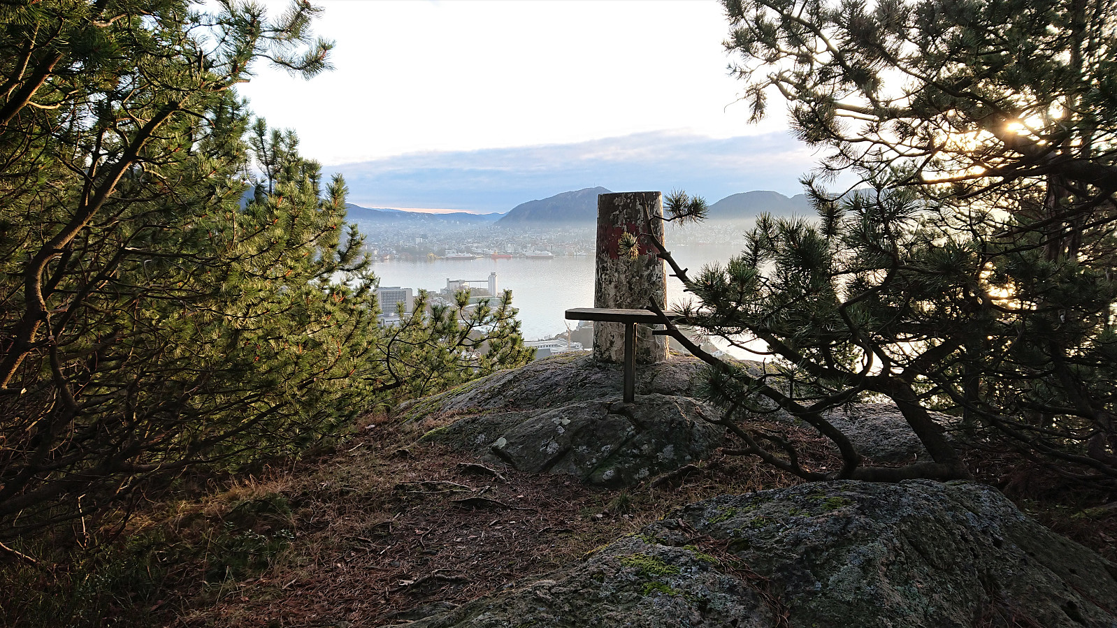 The last hike of 2020.
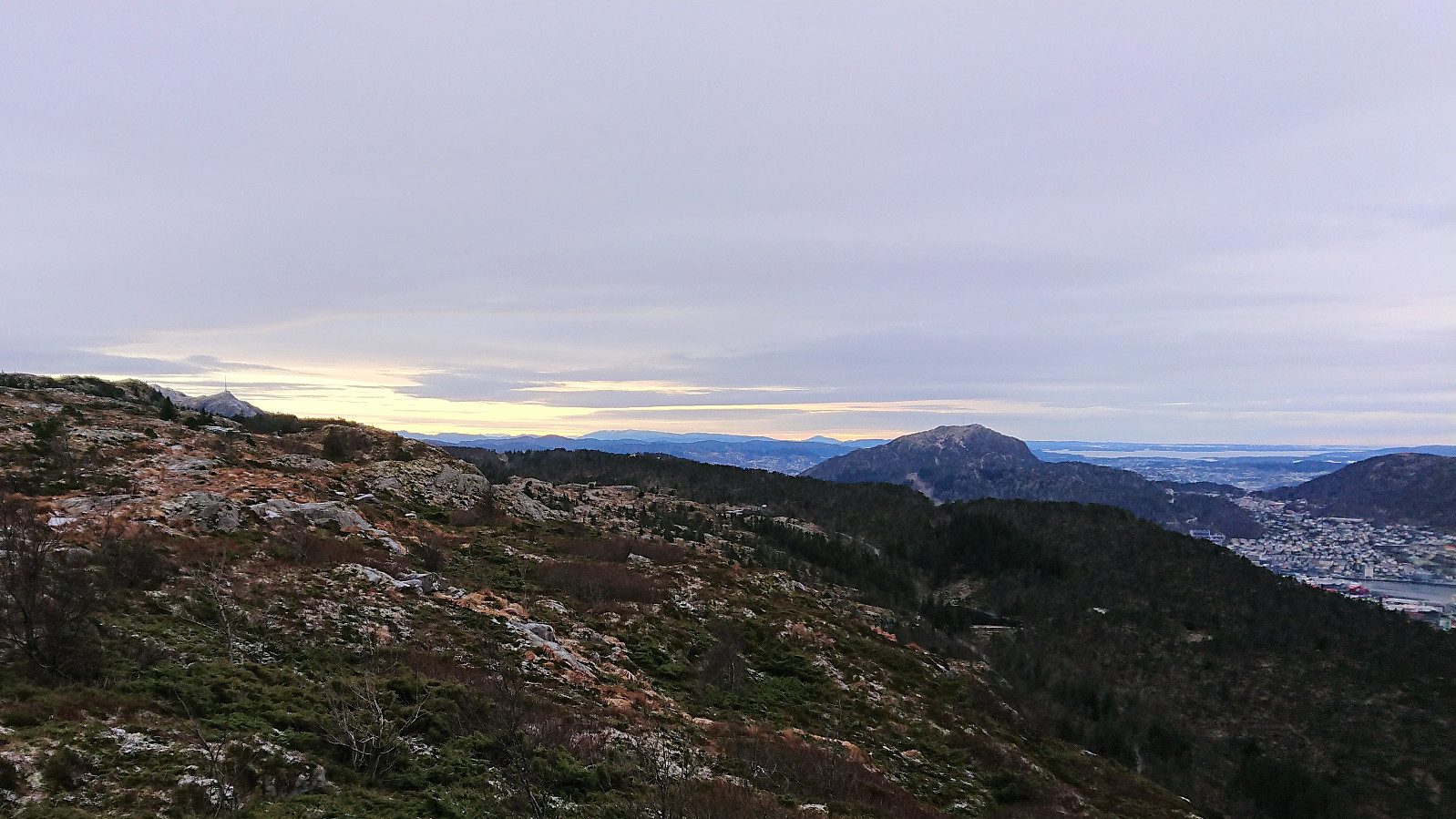
Fagerdalsfjellet and Ørneberget NV
- Dato:
- 30.12.2020
- Turtype:
- Fjelltur
- Turlengde:
- 0:59t
- Distanse:
- 4,2km
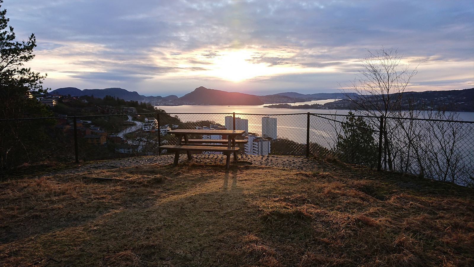 Short local hike before sunset.
Røttingen diving tower and Ternhaugen
- Dato:
- 29.12.2020
- Turtype:
- Fjelltur
- Turlengde:
- 2:03t
- Distanse:
- 6,7km
 Started by taking the bus to Røtinga/Røttingen and got off at the final bus stop called Røttingen snuplass. I then headed south to locate the partially hidden unmarked trailhead that brought me down to Skitnevågen and Pilabruo , the latter which is not indicated on the map, I assume given its modest size.
From there on the trail was marked, or at least it had been at some point, but many of the trail markers were missing. Having the GPS-track from Kjell51 (Kjell Øijorden) 's trip report therefore came in handy at times. I soon passed the cabins in Kobbavågen and shortly arrived at the diving tower to the south for the best and most interesting views of the day. The tower was probably built between 1930 and 1933 and has also been used as a location in a novel by Gunnar Staalesen (source: turorientering.no ).
After a short lunch break, I returned to the trail and soon arrived >>>
Started by taking the bus to Røtinga/Røttingen and got off at the final bus stop called Røttingen snuplass. I then headed south to locate the partially hidden unmarked trailhead that brought me down to Skitnevågen and Pilabruo , the latter which is not indicated on the map, I assume given its modest size.
From there on the trail was marked, or at least it had been at some point, but many of the trail markers were missing. Having the GPS-track from Kjell51 (Kjell Øijorden) 's trip report therefore came in handy at times. I soon passed the cabins in Kobbavågen and shortly arrived at the diving tower to the south for the best and most interesting views of the day. The tower was probably built between 1930 and 1933 and has also been used as a location in a novel by Gunnar Staalesen (source: turorientering.no ).
After a short lunch break, I returned to the trail and soon arrived >>>
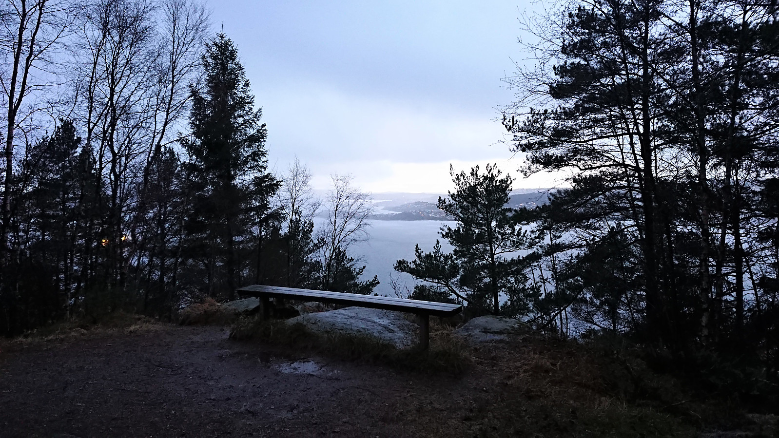
Sandviksbatteriet and Hellemyrstien
- Dato:
- 28.12.2020
- Turtype:
- Fottur
- Turlengde:
- 1:51t
- Distanse:
- 10,0km
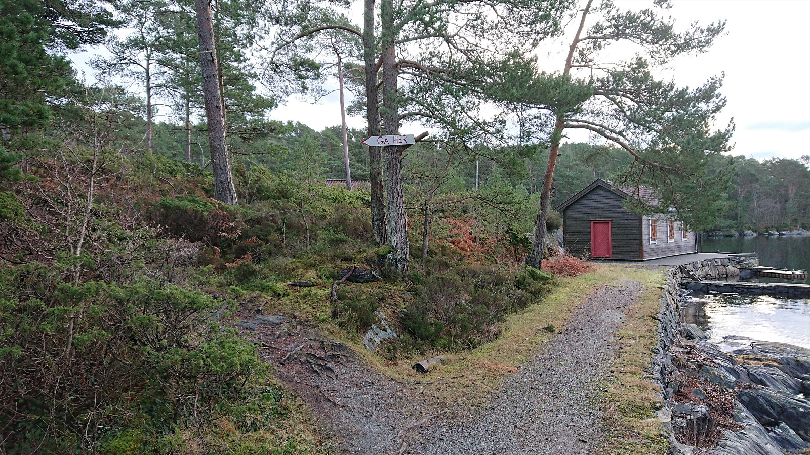
 Local afternoon hike.
Hellen festning and Furukammen
- Dato:
- 27.12.2020
- Turtype:
- Fottur
- Turlengde:
- 2:33t
- Distanse:
- 3,9km
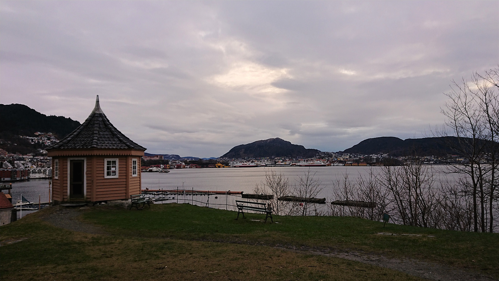
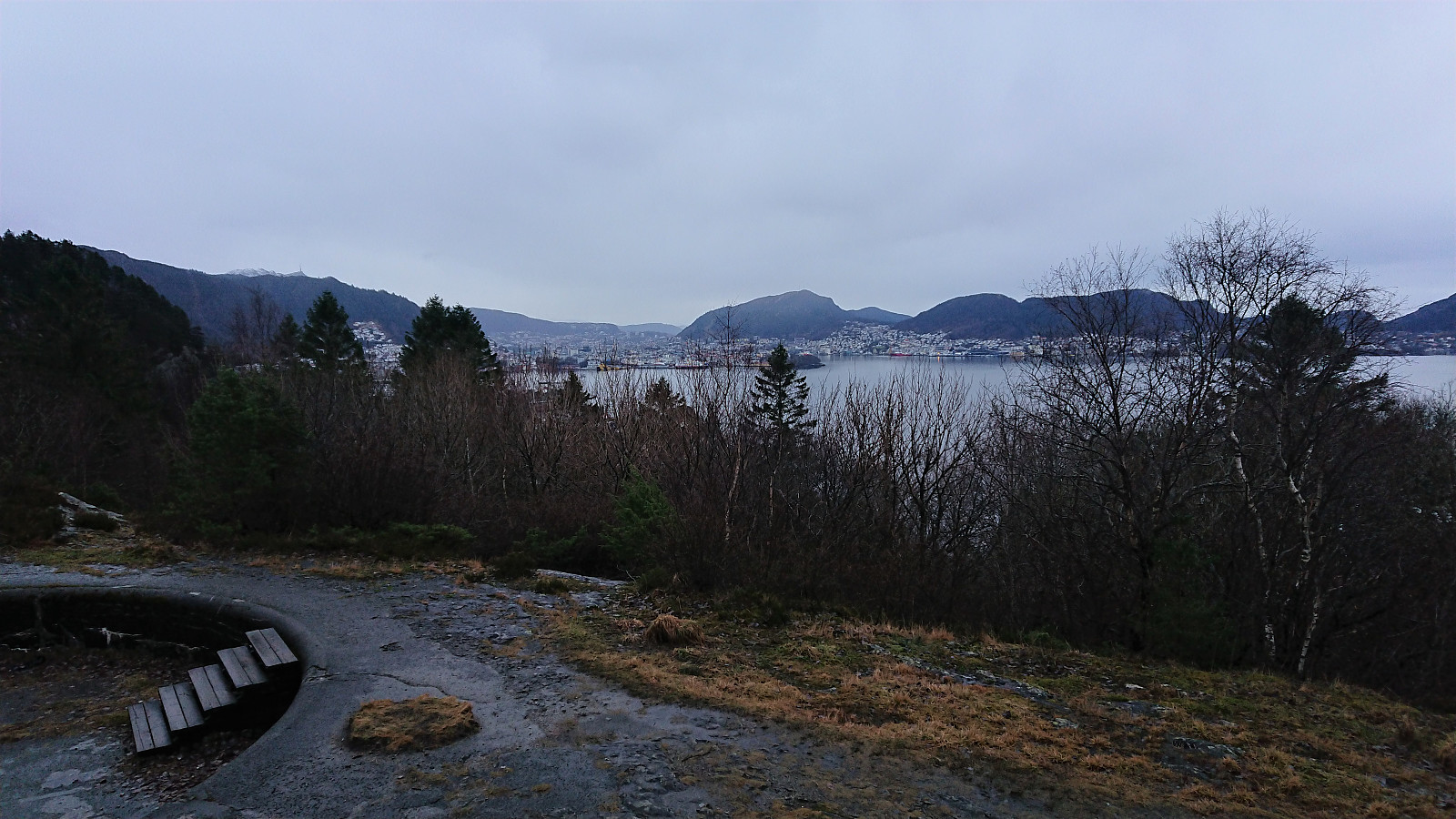 Local hike in the rain.
Ravneberg, Sandvikshytten and Ankerhytten
- Dato:
- 25.12.2020
- Turtype:
- Fjelltur
- Turlengde:
- 3:12t
- Distanse:
- 9,1km
 Local hike in between the Christmas family gatherings.
Hellen festning and Furukammen
- Dato:
- 22.12.2020
- Turtype:
- Fottur
- Turlengde:
- 2:18t
- Distanse:
- 4,0km
 Local hike just after sunset.
Across Hellen festning
- Dato:
- 20.12.2020
- Turtype:
- Fottur
- Turlengde:
- 0:27t
- Distanse:
- 2,1km
 Short local hike in strong winds and increasing amounts of rain.
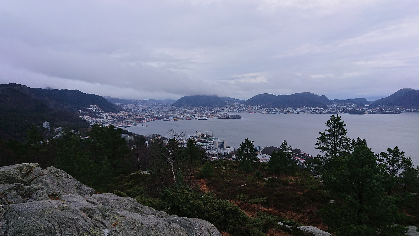
Ørneberget and Rognåsen
- Dato:
- 19.12.2020
- Turtype:
- Fjelltur
- Turlengde:
- 1:33t
- Distanse:
- 6,8km
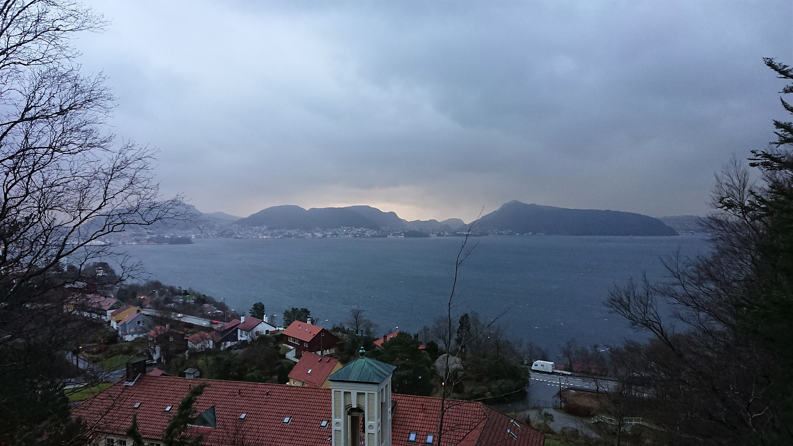
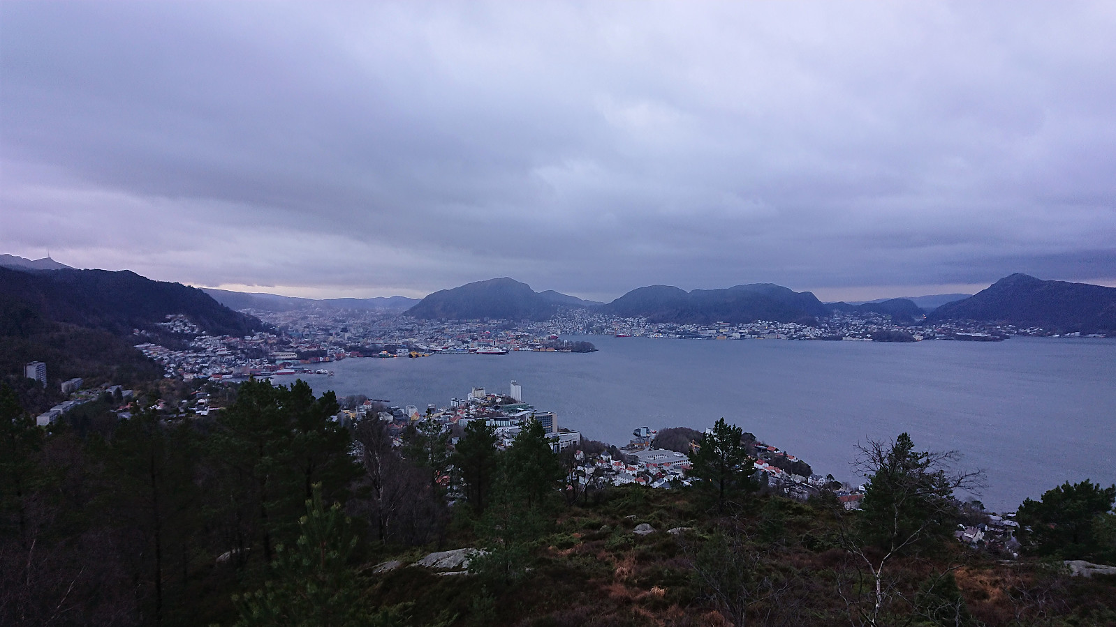 Local hike on a gray and windy Saturday.
