Archiv - Nach Datum
Archiv - Nach Aktivität
-
Andere Tour (3)
- Kayaking (3)
-
Fahrradtour (111)
- Fahrradtour Straße (86)
- Fahrradtour gemischt (25)
-
Fahrzeugtour (9)
- Autotour (9)
-
Fußtour (1898)
- Bergtour (1120)
- Jogging (1)
- Spaziergang (60)
- Wanderung (717)
-
Skitour (116)
- Langlauf (47)
- Tourenskilauf (69)
Gesammelte Listen
-
Utvalgte topper og turmål i Bergen
(349/351)
 99%
99% -
Alle topper i Bergen
(393/400)
98%
-
Voss ≥ 100m pf.
(96/98)
97%
-
Opptur Hordaland
(144/159)
90%
-
Stasjoner på Bergensbanen
(33/40)
82%
-
Ulvik ≥ 100m pf.
(30/38)
78%
-
Hordaland ≥ 100m pf.
(624/863)
72%
-
Mjølfjell PF > 100m
(21/31)
67%
-
Jondal ≥ 100m pf.
(15/23)
65%
-
Dagsturhyttene i Vestland
(36/61)
59%
-
Sunnhordland PF >= 100m
(105/186)
56%
-
Hordaland: Hardanger PF>=100m
(196/359)
54%
-
DNT-hytter i Hordaland
(23/45)
51%
-
Kvinnherad ≥ 100m pf.
(40/79)
50%
-
Eidfjord ≥ 100m pf.
(13/42)
30%
-
Sogndal ≥ 100m pf.
(23/81)
28%
-
Gulen ≥ 100m pf.
(15/54)
27%
-
Vik i Sogn ≥ 100m pf.
(10/46)
21%
-
Sogn - Sør for Sognefjorden PF>=100m
(31/159)
19%
-
DNT-hytter i Sogn og Fjordane
(8/47)
17%

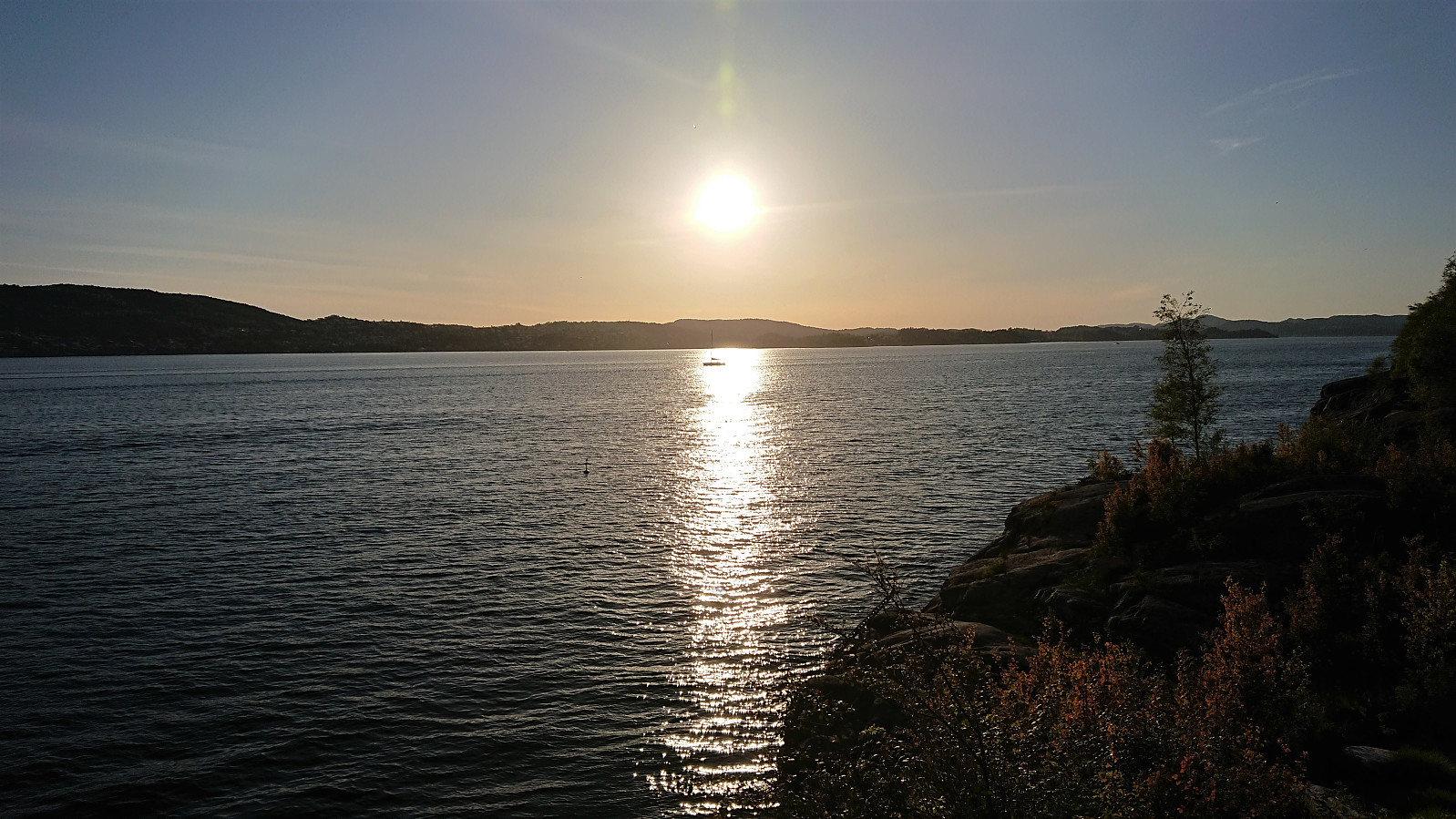
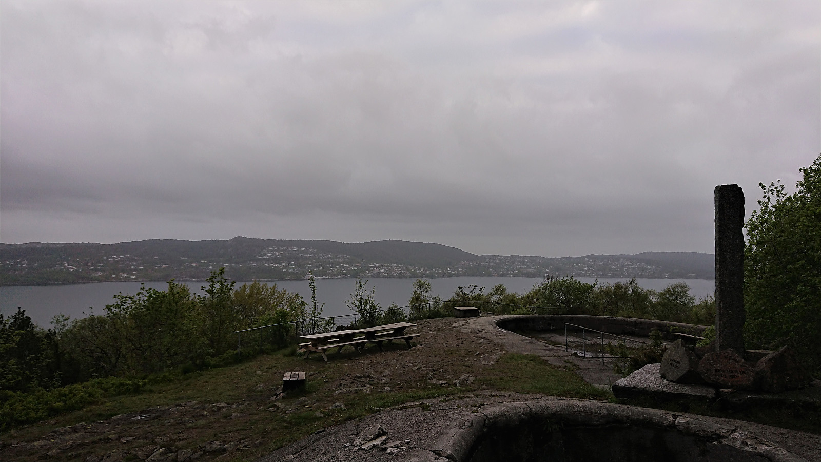
Across Hellen festning
- Datum:
- 02.06.2020
- Tourcharakter:
- Wanderung
- Tourlänge:
- 0:46h
- Entfernung:
- 3,6km
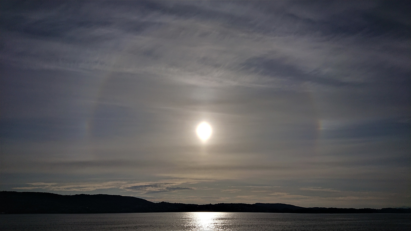 Short local evening hike.
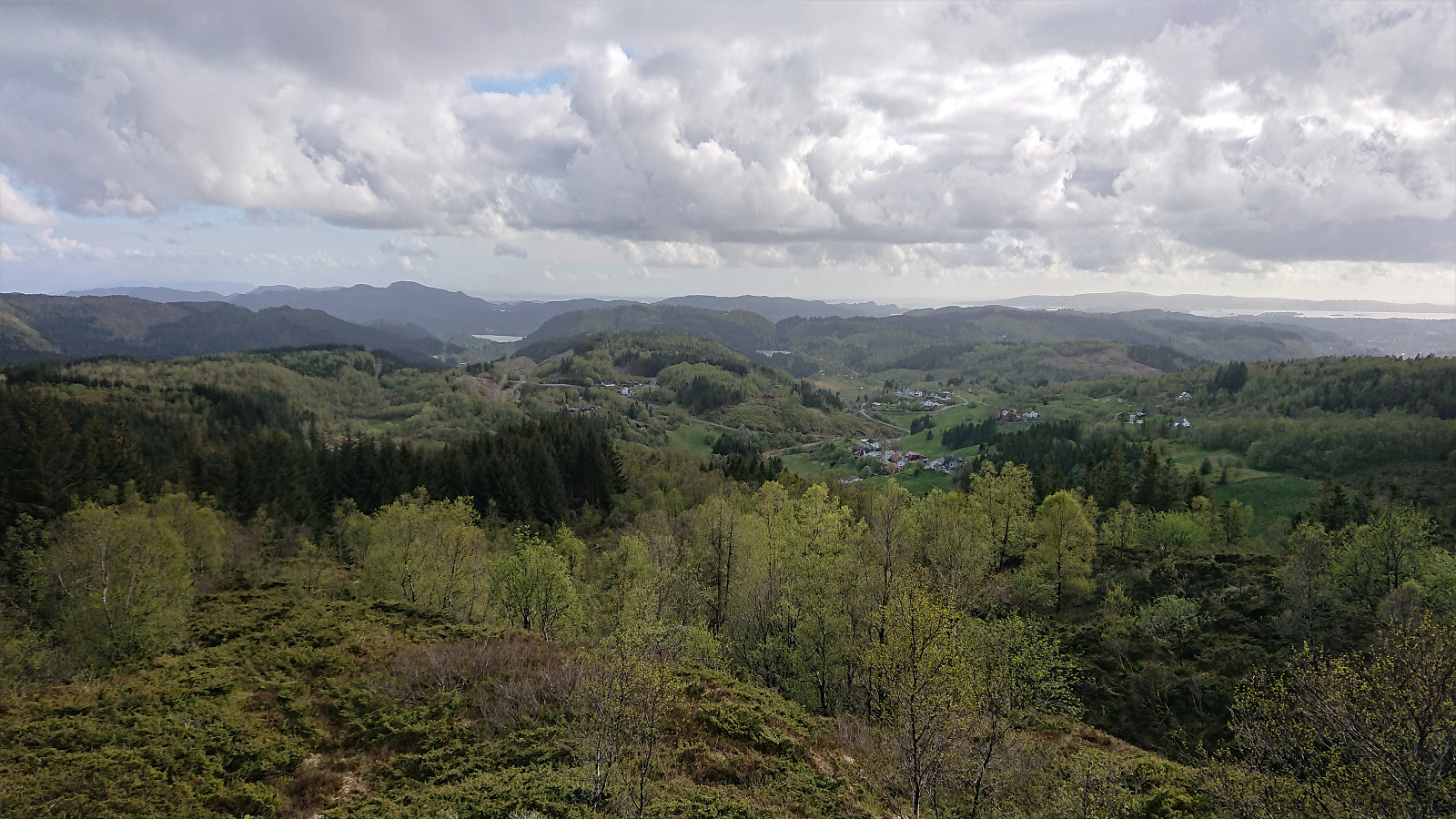
Cycling: Hauglandsdalen, Bontveit and Totland
- Datum:
- 01.06.2020
- Tourcharakter:
- Fahrradtour Straße
- Tourlänge:
- 5:57h
- Entfernung:
- 69,4km
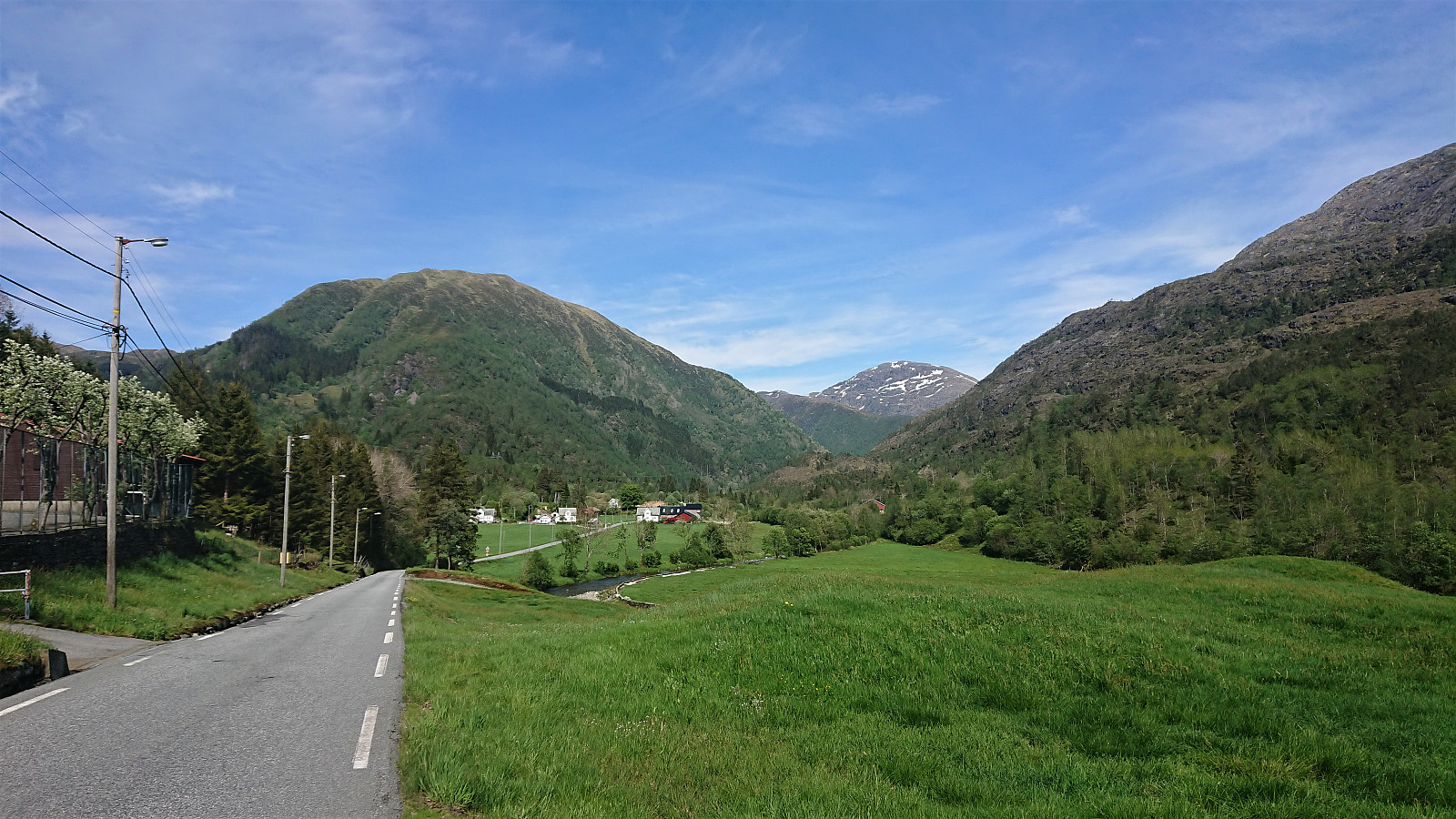 Cycling trip to visit a couple more cabins from Bergensernes Fjellverden II (BF II). Started by cycling to Kalandseidet and then following the scenic road up Hauglandsdalen. After the steep climb up to Bontveit, I could follow a gravel road all the way to Domus Medica and Hjelpekorpshytten . Both have most likely seen better days, and the nice views indicated in BF II are now completely hidden by trees. Note that Hjelpekorpshytten can be rented.
Back at the main road, I left it almost immediately to start on another gravel road that would take me all the way to Riple. I soon passed by Tollhaug and, with a minor detour, Fjellro . Cabins that are also mentioned in BF II, but not added to the BF II list as they are now privately owned. The same goes for Vinterlund , which I passed on the way to Domus Medica and Hjelpekorpshytten.
Next, I made a quick >>>
Cycling trip to visit a couple more cabins from Bergensernes Fjellverden II (BF II). Started by cycling to Kalandseidet and then following the scenic road up Hauglandsdalen. After the steep climb up to Bontveit, I could follow a gravel road all the way to Domus Medica and Hjelpekorpshytten . Both have most likely seen better days, and the nice views indicated in BF II are now completely hidden by trees. Note that Hjelpekorpshytten can be rented.
Back at the main road, I left it almost immediately to start on another gravel road that would take me all the way to Riple. I soon passed by Tollhaug and, with a minor detour, Fjellro . Cabins that are also mentioned in BF II, but not added to the BF II list as they are now privately owned. The same goes for Vinterlund , which I passed on the way to Domus Medica and Hjelpekorpshytten.
Next, I made a quick >>>
Munkebotn and Furukammen
- Datum:
- 31.05.2020
- Tourcharakter:
- Wanderung
- Tourlänge:
- 1:45h
- Entfernung:
- 9,5km
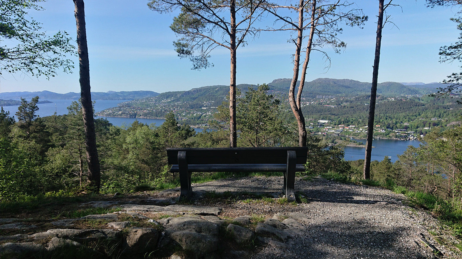 A shorter local hike after yesterday's extended trip to Fitjar.
Handfjellsåta, Beintjørnvarden and Kinno from Sandvikvåg
- Datum:
- 30.05.2020
- Tourcharakter:
- Bergtour
- Tourlänge:
- 8:51h
- Entfernung:
- 32,7km
 Started by taking the bus to Halhjem and ferry to Sandvikvåg, from where I followed a small side road to the marked trailhead at Sandvikvågvegen. Besides a point where it was blocked by a falling tree, the trail could be easily followed all the way to Landasåto . Did not meet any people, but I did come across a deer on the way (see the third picture).
From Landasåto I connected with the gravel road going in between all of the large windmills, which I partly followed on my way to Handfjellsåta . There was a hiking sign for Handfjellsåta to the northwest, but I quickly lost the trail and ended up finding my own way to the summit. Seems like it would perhaps have been easier to follow the gravel road a bit further and ascended from the north.
There was also a trail going south back to the road, but again I lost it, >>>
Started by taking the bus to Halhjem and ferry to Sandvikvåg, from where I followed a small side road to the marked trailhead at Sandvikvågvegen. Besides a point where it was blocked by a falling tree, the trail could be easily followed all the way to Landasåto . Did not meet any people, but I did come across a deer on the way (see the third picture).
From Landasåto I connected with the gravel road going in between all of the large windmills, which I partly followed on my way to Handfjellsåta . There was a hiking sign for Handfjellsåta to the northwest, but I quickly lost the trail and ended up finding my own way to the summit. Seems like it would perhaps have been easier to follow the gravel road a bit further and ascended from the north.
There was also a trail going south back to the road, but again I lost it, >>>
Across Hellen festning
- Datum:
- 29.05.2020
- Tourcharakter:
- Wanderung
- Tourlänge:
- 0:52h
- Entfernung:
- 4,3km
 Short local evening hike.
Cabins and cabin ruins at Totland
- Datum:
- 27.05.2020
- Tourcharakter:
- Bergtour
- Tourlänge:
- 3:25h
- Entfernung:
- 10,7km
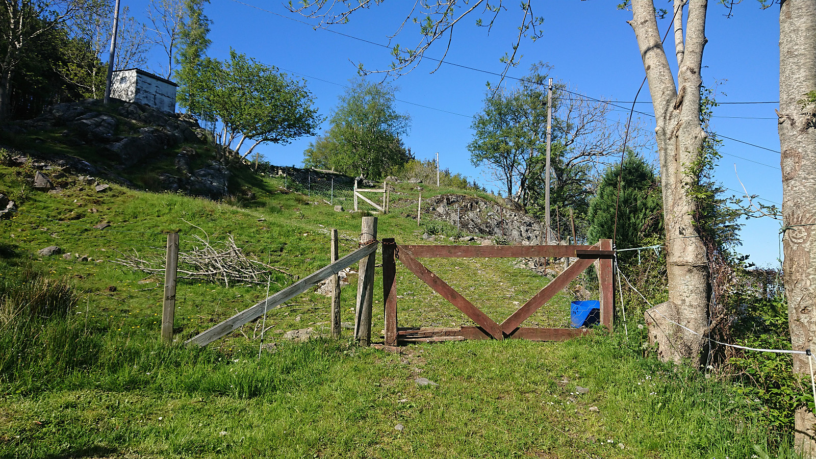
 Another hike to visit cabins mentioned in Bergensernes Fjellverden II (BF II), this time at Totland. We parked at Totland parkeringsplass and after figuring out how to pay for the parking, made quick visits to Hardyhytten , Linken and Fanahytten . The former now only a ruin, while the latter two seemed to be in good condition. Døvehytten/ Birkehaug was also located (Totlandsvegen 556), which looked like it had been turned into a permanent residence.
Next on the list was Maihaugen , which I had failed to even notice on my previous trips to the area. Note that of the road indicated on the map heading just north of Maihaugen, there are only weak traces, much like the cabin itself it had clearly also seen better days.
From Maihaugen we shortly headed north along the gravel road, before leaving the road and following a rather wet trail up to Laksevåg Røde Kors Hjelpekorps' hytte . Another cabin that had >>>
Another hike to visit cabins mentioned in Bergensernes Fjellverden II (BF II), this time at Totland. We parked at Totland parkeringsplass and after figuring out how to pay for the parking, made quick visits to Hardyhytten , Linken and Fanahytten . The former now only a ruin, while the latter two seemed to be in good condition. Døvehytten/ Birkehaug was also located (Totlandsvegen 556), which looked like it had been turned into a permanent residence.
Next on the list was Maihaugen , which I had failed to even notice on my previous trips to the area. Note that of the road indicated on the map heading just north of Maihaugen, there are only weak traces, much like the cabin itself it had clearly also seen better days.
From Maihaugen we shortly headed north along the gravel road, before leaving the road and following a rather wet trail up to Laksevåg Røde Kors Hjelpekorps' hytte . Another cabin that had >>>
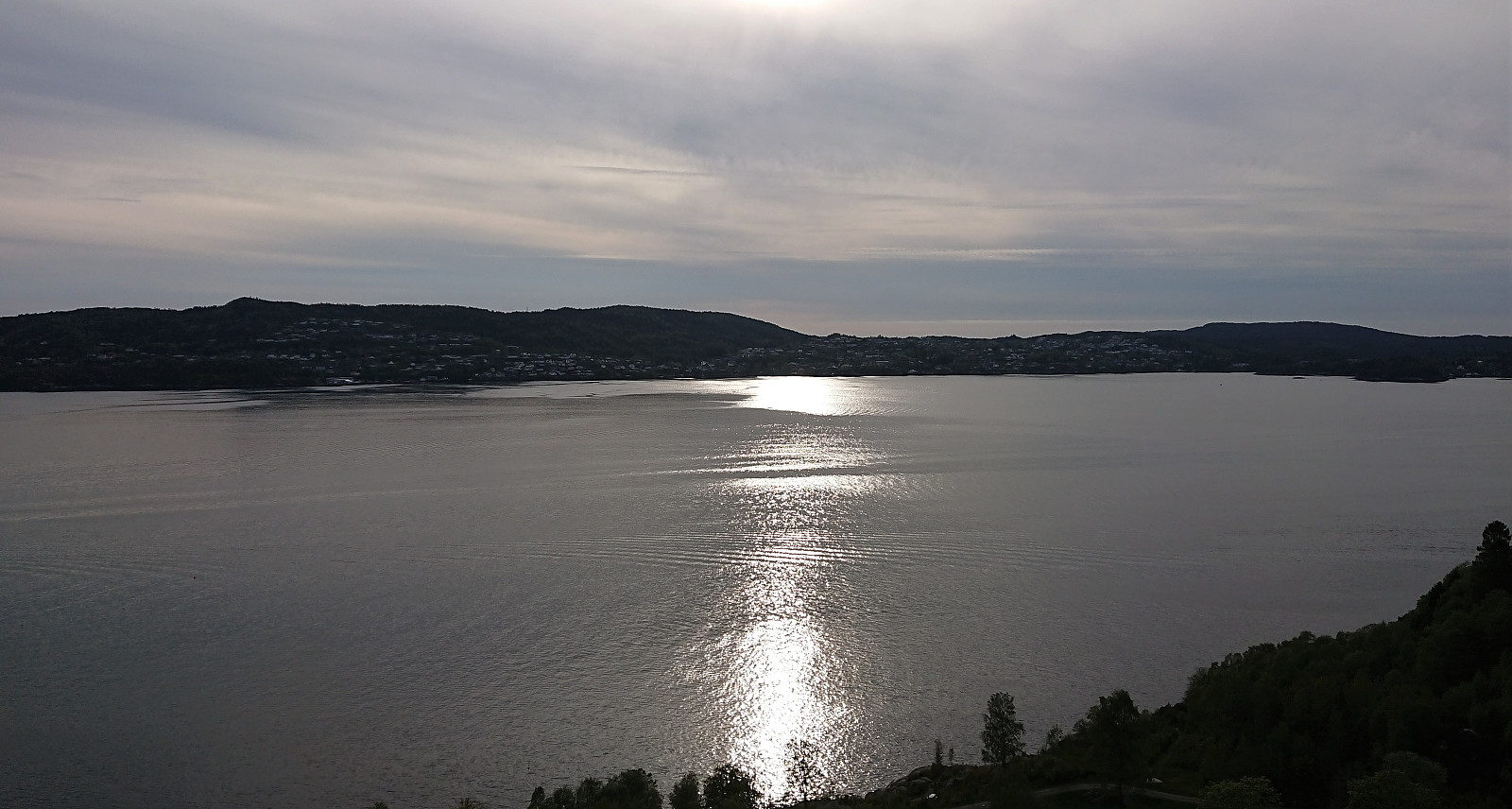
Across Hellen festning
- Datum:
- 26.05.2020
- Tourcharakter:
- Wanderung
- Tourlänge:
- 0:36h
- Entfernung:
- 3,2km
 Short local evening hike.
Across Hellen festning
- Datum:
- 25.05.2020
- Tourcharakter:
- Wanderung
- Tourlänge:
- 0:41h
- Entfernung:
- 3,7km
 Short local hike after work.
Kviturhytten
- Datum:
- 24.05.2020
- Tourcharakter:
- Bergtour
- Tourlänge:
- 2:17h
- Entfernung:
- 7,3km
 Warning: This hike includes off-trail scrambling in steep terrain. Consider the track with care!
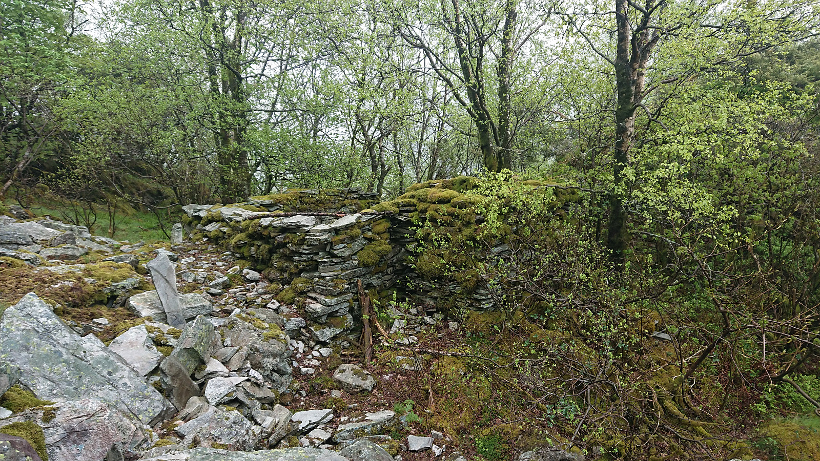
The last cabin ruin in Bergensernes Fjellverden II (BF II) in the area from Sandviksfjellet to Ulriken was what the book refers to as Kviturhytten . After finally locating it on the map, I set out from Årstadveien and followed the road along Svartediket until reaching Kviturbekken. Here I left the road on what almost looked like a trail, following the stream north.
Soon the trail however pretty much disappeared and I was left finding my own way up the steep ascent, with only some deer tracks for guidance. More scrambling than hiking, and with lots of loose small to medium size rocks. There was no real problem making progress though, as long as one was careful.
There was a lot more left of the cabin than expected, >>>
Warning: This hike includes off-trail scrambling in steep terrain. Consider the track with care!
The last cabin ruin in Bergensernes Fjellverden II (BF II) in the area from Sandviksfjellet to Ulriken was what the book refers to as Kviturhytten . After finally locating it on the map, I set out from Årstadveien and followed the road along Svartediket until reaching Kviturbekken. Here I left the road on what almost looked like a trail, following the stream north.
Soon the trail however pretty much disappeared and I was left finding my own way up the steep ascent, with only some deer tracks for guidance. More scrambling than hiking, and with lots of loose small to medium size rocks. There was no real problem making progress though, as long as one was careful.
There was a lot more left of the cabin than expected, >>>
Ørneberget, Rognåsen and Håmanen
- Datum:
- 23.05.2020
- Tourcharakter:
- Bergtour
- Tourlänge:
- 1:53h
- Entfernung:
- 8,4km
 Local hike in strong winds.
