Archiv - Nach Datum
Archiv - Nach Aktivität
-
Andere Tour (3)
- Kayaking (3)
-
Fahrradtour (111)
- Fahrradtour Straße (86)
- Fahrradtour gemischt (25)
-
Fahrzeugtour (9)
- Autotour (9)
-
Fußtour (1897)
- Bergtour (1120)
- Jogging (1)
- Spaziergang (60)
- Wanderung (716)
-
Skitour (116)
- Langlauf (47)
- Tourenskilauf (69)
Gesammelte Listen
-
Utvalgte topper og turmål i Bergen
(349/351)
 99%
99% -
Alle topper i Bergen
(393/400)
98%
-
Voss ≥ 100m pf.
(96/98)
97%
-
Opptur Hordaland
(144/159)
90%
-
Stasjoner på Bergensbanen
(33/40)
82%
-
Ulvik ≥ 100m pf.
(30/38)
78%
-
Hordaland ≥ 100m pf.
(624/863)
72%
-
Mjølfjell PF > 100m
(21/31)
67%
-
Jondal ≥ 100m pf.
(15/23)
65%
-
Dagsturhyttene i Vestland
(36/61)
59%
-
Sunnhordland PF >= 100m
(105/186)
56%
-
Hordaland: Hardanger PF>=100m
(196/359)
54%
-
DNT-hytter i Hordaland
(23/45)
51%
-
Kvinnherad ≥ 100m pf.
(40/79)
50%
-
Eidfjord ≥ 100m pf.
(13/42)
30%
-
Sogndal ≥ 100m pf.
(23/81)
28%
-
Gulen ≥ 100m pf.
(15/54)
27%
-
Vik i Sogn ≥ 100m pf.
(10/46)
21%
-
Sogn - Sør for Sognefjorden PF>=100m
(31/159)
19%
-
DNT-hytter i Sogn og Fjordane
(8/47)
17%

Teiglandsnuten, Vestrefjellet and Ilefjellet from Våge
- Datum:
- 30.11.2019
- Tourcharakter:
- Bergtour
- Tourlänge:
- 4:45h
- Entfernung:
- 15,8km
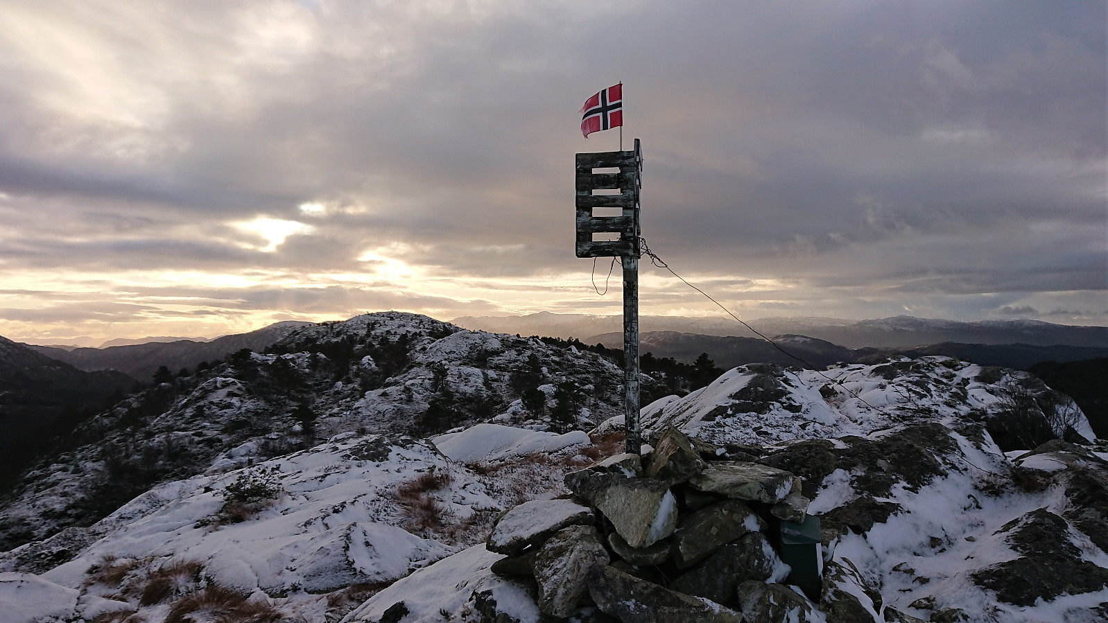 Teiglandsnuten
Started by taking the bus to Haljem and then the ferry to Våge. Upon arriving at Våge I followed the roads to Ve, where I easily located the marked trailhead for Teiglandsnuten . Turned out that I could just as well have followed the road to Lande directly, but there was not much of a difference between the two options anyway.
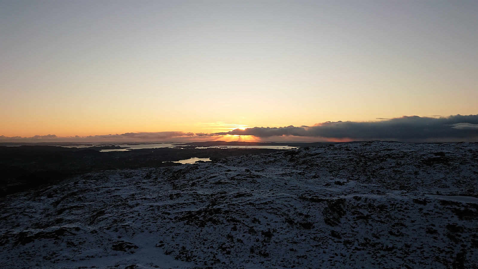
The gravel road soon turned into a marked trail. However at some point I seem to have left the trail indicated on the information sign at the start of the hike, as I ended up approaching the summit of Teiglandsnuten from the south, not from the north as shown on the sign. I did follow a trail though, so this option can also be recommended. Excellent views from the summit, which also included a visitor register.
Vestrefjellet
My plan was now to follow the ridge south to >>>
Teiglandsnuten
Started by taking the bus to Haljem and then the ferry to Våge. Upon arriving at Våge I followed the roads to Ve, where I easily located the marked trailhead for Teiglandsnuten . Turned out that I could just as well have followed the road to Lande directly, but there was not much of a difference between the two options anyway.
The gravel road soon turned into a marked trail. However at some point I seem to have left the trail indicated on the information sign at the start of the hike, as I ended up approaching the summit of Teiglandsnuten from the south, not from the north as shown on the sign. I did follow a trail though, so this option can also be recommended. Excellent views from the summit, which also included a visitor register.
Vestrefjellet
My plan was now to follow the ridge south to >>>
Across Hellen festning
- Datum:
- 27.11.2019
- Tourcharakter:
- Wanderung
- Tourlänge:
- 0:33h
- Entfernung:
- 3,1km
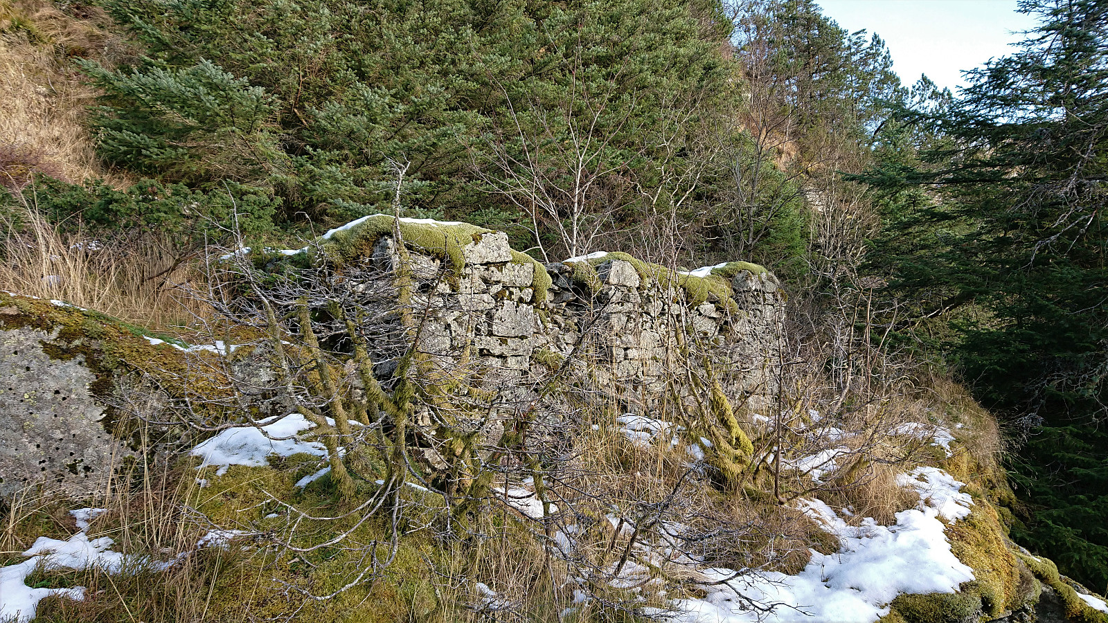
 Short local evening hike across Hellen festning.
Nordnes
- Datum:
- 24.11.2019
- Tourcharakter:
- Spaziergang
- Tourlänge:
- 1:26h
- Entfernung:
- 7,1km
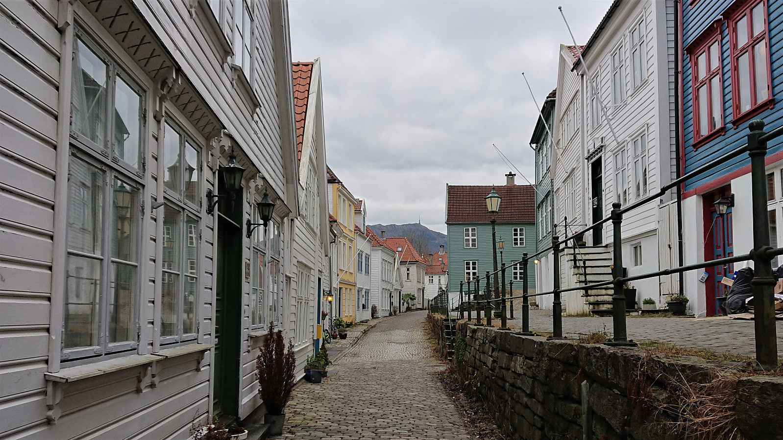 Decided to stay below the snow and ice today and instead took a walk at Nordnes.
Bergstadfjellet from Evanger
- Datum:
- 23.11.2019
- Tourcharakter:
- Bergtour
- Tourlänge:
- 4:28h
- Entfernung:
- 16,0km
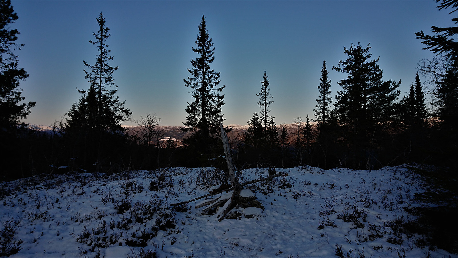
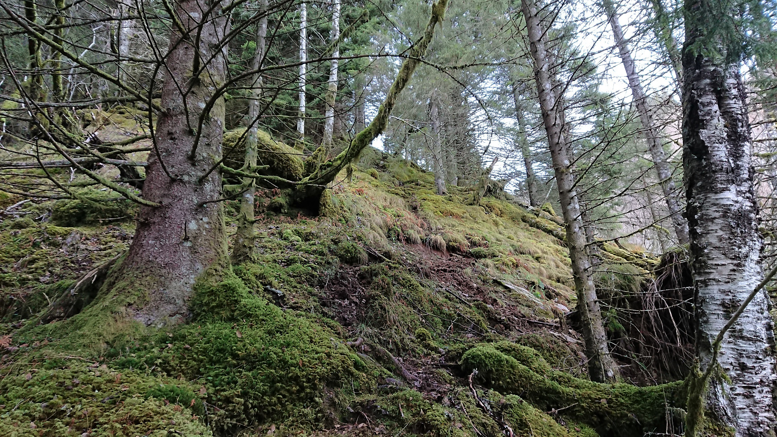 Started by taking the train to Evanger and walking along Teigdalsvegen to Forvene. The road was covered by ice soon after passing Fadnes, but by walking close to the edge of the road, and paying close attention, snow chains were not needed. Upon reaching the short tractor road at Forvene, I left the main road and started searching for a trailhead. Did not find any, so I simply started up the steep ridge, assuming I would come across it later on.
A trail/deer track was shortly discovered. I would put it more in the latter category though, but it did make it easier to progress up the surprisingly steep ascent. The ridge was covered by trees, but these could easily be avoided. Thus there was nothing of the bush war I had mentally prepared for.
At around 200 meters the trail turned much less steep, >>>
Started by taking the train to Evanger and walking along Teigdalsvegen to Forvene. The road was covered by ice soon after passing Fadnes, but by walking close to the edge of the road, and paying close attention, snow chains were not needed. Upon reaching the short tractor road at Forvene, I left the main road and started searching for a trailhead. Did not find any, so I simply started up the steep ridge, assuming I would come across it later on.
A trail/deer track was shortly discovered. I would put it more in the latter category though, but it did make it easier to progress up the surprisingly steep ascent. The ridge was covered by trees, but these could easily be avoided. Thus there was nothing of the bush war I had mentally prepared for.
At around 200 meters the trail turned much less steep, >>>
Soria Moria
- Datum:
- 19.11.2019
- Tourcharakter:
- Bergtour
- Tourlänge:
- 2:06h
- Entfernung:
- 7,5km
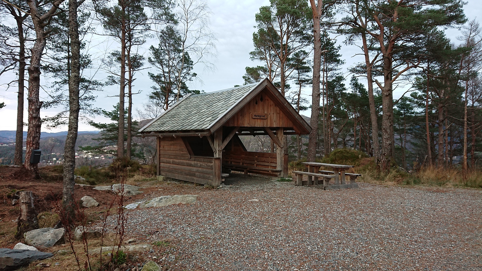
 Left work earlier than usual to take advantage of the nice weather for a quick visit to Soria Moria in order to recomplete the Hytter og objekter i Byfjellene list. The snow chains came on shortly after turning south at the start of Oppstemten , and greatly simplified an otherwise much more challenging hike.
Våkendalen and Jordalsskaret
- Datum:
- 17.11.2019
- Tourcharakter:
- Bergtour
- Tourlänge:
- 4:52h
- Entfernung:
- 16,2km
 Another hike to vist more of the newly added elements to the Hytter og objekter i Byfjellene list. This time starting from Svartediket and Våkendalen, and decending via Jordalsskaret.
Fløyen and Rundemanen
- Datum:
- 16.11.2019
- Tourcharakter:
- Bergtour
- Tourlänge:
- 3:56h
- Entfernung:
- 18,4km
 Roundtrip at Fløyen and Rundemanen to visit some of the newly added elements on the Hytter og objekter i Byfjellene list. Rather icy conditions from Brushytten up to Rundemanen, so I followed Blåmansveien on the descent which was much better. Also lots of ice from Brushytten to Grindarasten and down to the smaller dam below Storavatnet.
Andershovden, Grauaåsen and Sonvesåsen
- Datum:
- 10.11.2019
- Tourcharakter:
- Bergtour
- Tourlänge:
- 6:37h
- Entfernung:
- 30,4km
 Andershovden
After exiting the train at Voss, I walked along the roads to Tvilde where I easily located the marked trailhead. By following the signs for Storeåsen, first along a gravel road and later a long various trail, the progress was straightforward and with some excellent views towards Lønahorgi along the way (which would turn out to be a familiar element throughout the rest of the hike).
Storeåsen itself was not marked, and I did not bother locating the summit. North of Storeåsen, where the trail connected with a gravel road, there was another information sign, from which I followed the trail towards Gudleikstreet, taking me through the Håmyrane nature reserve. (As it turned out, I could also simply have followed the gravel road north for a couple hundred meters and reconnected with the same >>>
Andershovden
After exiting the train at Voss, I walked along the roads to Tvilde where I easily located the marked trailhead. By following the signs for Storeåsen, first along a gravel road and later a long various trail, the progress was straightforward and with some excellent views towards Lønahorgi along the way (which would turn out to be a familiar element throughout the rest of the hike).
Storeåsen itself was not marked, and I did not bother locating the summit. North of Storeåsen, where the trail connected with a gravel road, there was another information sign, from which I followed the trail towards Gudleikstreet, taking me through the Håmyrane nature reserve. (As it turned out, I could also simply have followed the gravel road north for a couple hundred meters and reconnected with the same >>>
Across Hellen festning
- Datum:
- 09.11.2019
- Tourcharakter:
- Wanderung
- Tourlänge:
- 0:37h
- Entfernung:
- 3,7km
 Short local hike across Hellen festning.
Barsnesfjorden
- Datum:
- 01.11.2019
- Tourcharakter:
- Wanderung
- Tourlänge:
- 0:51h
- Entfernung:
- 4,6km
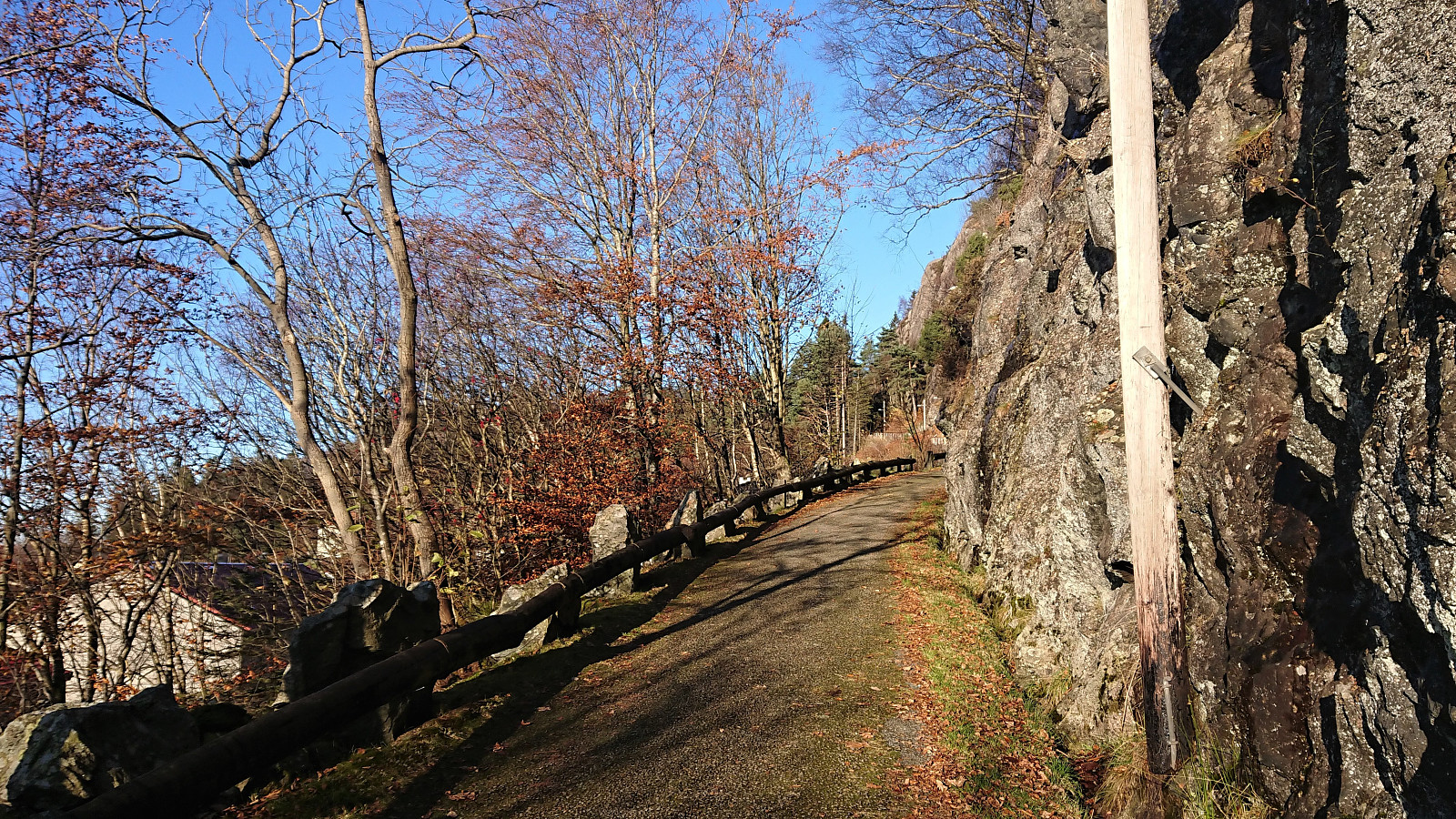
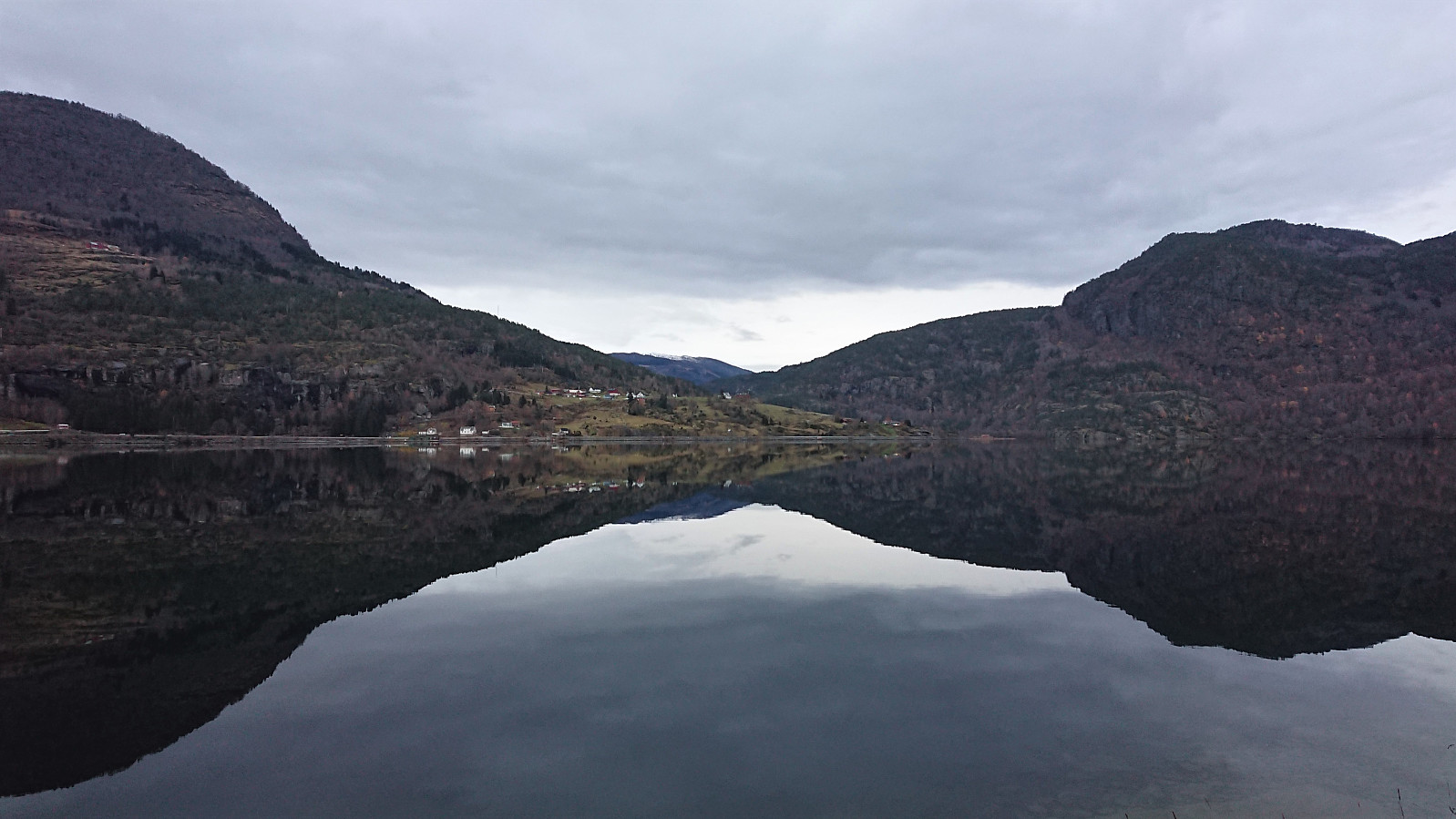 Short walk along Barsnesfjorden.
(Note that the road this hike follows is private, i.e. no cars allowed. There are however a couple of parking spaces down by the small wharf along Barsnesfjorden just before the road turns west and starts climbing slightly towards the crossroads at Barsnes.)
Short walk along Barsnesfjorden.
(Note that the road this hike follows is private, i.e. no cars allowed. There are however a couple of parking spaces down by the small wharf along Barsnesfjorden just before the road turns west and starts climbing slightly towards the crossroads at Barsnes.)
