Archive - Date
Archive - Activity
-
Bike trip (111)
- Bike trip - mixed (25)
- Bike trip - road (86)
-
Drive (9)
- Car drive (9)
-
Other trip (3)
- Kayaking (3)
-
Ski trip (116)
- Backcountry skiing (69)
- Cross-country skiing (47)
- Trip by foot (1897)
Collected lists
-
Utvalgte topper og turmål i Bergen
(349/351)
 99%
99% -
Alle topper i Bergen
(393/400)
98%
-
Voss ≥ 100m pf.
(96/98)
97%
-
Opptur Hordaland
(144/159)
90%
-
Stasjoner på Bergensbanen
(33/40)
82%
-
Ulvik ≥ 100m pf.
(30/38)
78%
-
Hordaland ≥ 100m pf.
(624/863)
72%
-
Mjølfjell PF > 100m
(21/31)
67%
-
Jondal ≥ 100m pf.
(15/23)
65%
-
Dagsturhyttene i Vestland
(36/61)
59%
-
Sunnhordland PF >= 100m
(105/186)
56%
-
Hordaland: Hardanger PF>=100m
(196/359)
54%
-
DNT-hytter i Hordaland
(23/45)
51%
-
Kvinnherad ≥ 100m pf.
(40/79)
50%
-
Eidfjord ≥ 100m pf.
(13/42)
30%
-
Sogndal ≥ 100m pf.
(23/81)
28%
-
Gulen ≥ 100m pf.
(15/54)
27%
-
Vik i Sogn ≥ 100m pf.
(10/46)
21%
-
Sogn - Sør for Sognefjorden PF>=100m
(31/159)
19%
-
DNT-hytter i Sogn og Fjordane
(8/47)
17%

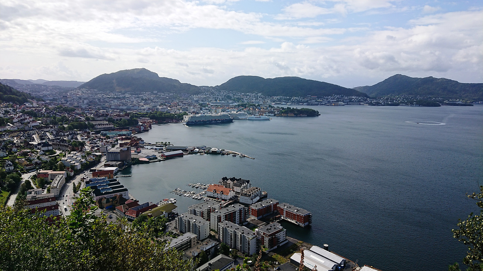
Ørneberget and Furukammen
- Date:
- 31.08.2019
- Characteristic:
- Hillwalk
- Duration:
- 2:01h
- Distance:
- 8.6km
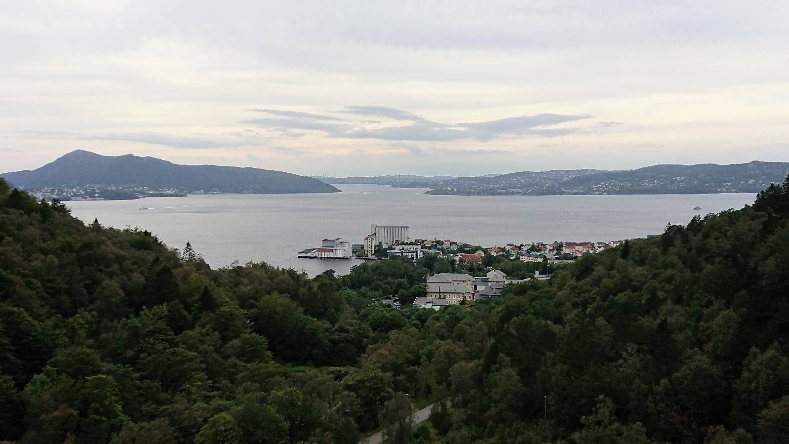 Short local hike across Ørneberget and via Munkebotn on the return.
Wenzelstein
- Date:
- 28.08.2019
- Characteristic:
- Bike trip - mixed
- Duration:
- 1:30h
- Distance:
- 13.5km
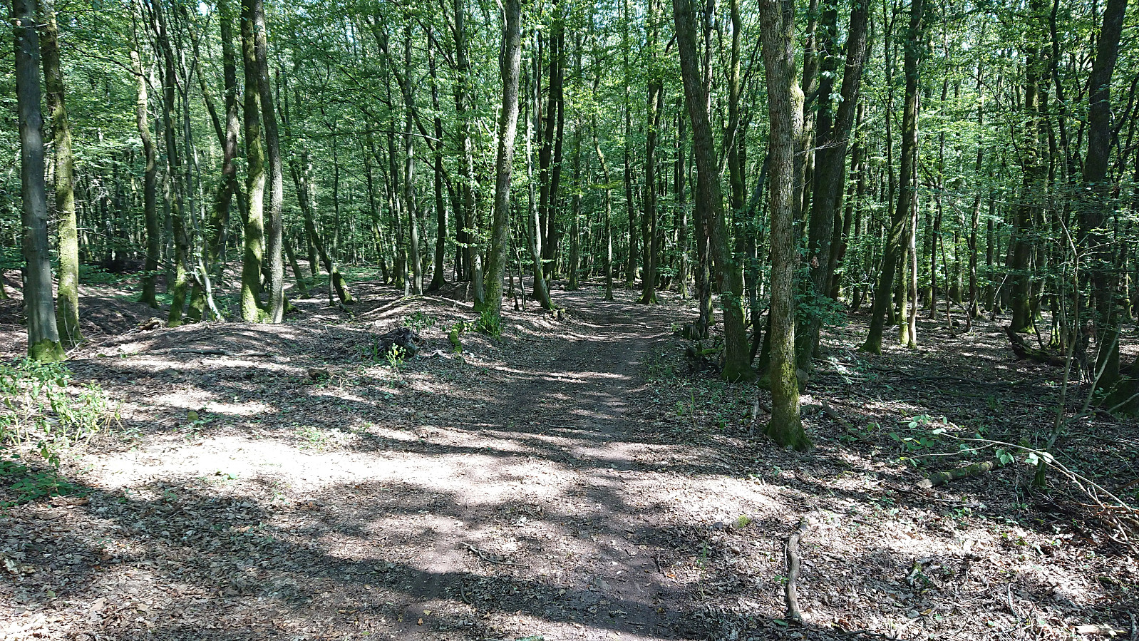 Short bike ride while at a meeting at Schloss Dagstuhl in Germany, with road quality ranging from nice forest roads to rougher tractor roads, mostly the former though. On the way to Wenzelstein I came across Eulenkreuz . The summit itself was harder to locate and unmarked, but in the end I concluded that the highest point had to be around the small water tank (says "wasserhochbehälter" on the map) 100 meters or so west of where the highest point seems to be according to the map. Limited views for most of the trip, including the summit.
Note the track is created from memory as my GPS refused to work properly.
Short bike ride while at a meeting at Schloss Dagstuhl in Germany, with road quality ranging from nice forest roads to rougher tractor roads, mostly the former though. On the way to Wenzelstein I came across Eulenkreuz . The summit itself was harder to locate and unmarked, but in the end I concluded that the highest point had to be around the small water tank (says "wasserhochbehälter" on the map) 100 meters or so west of where the highest point seems to be according to the map. Limited views for most of the trip, including the summit.
Note the track is created from memory as my GPS refused to work properly.
Ørneberget
- Date:
- 23.08.2019
- Characteristic:
- Hillwalk
- Duration:
- 1:16h
- Distance:
- 6.3km
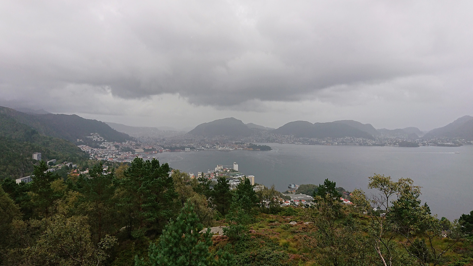 Short local hike across Ørneberget.
Hellen festning, Hellemyrstien and Furukammen
- Date:
- 22.08.2019
- Characteristic:
- Hike
- Duration:
- 1:55h
- Distance:
- 8.4km
 Short local hike after yesterday's extended hike at Austevoll.
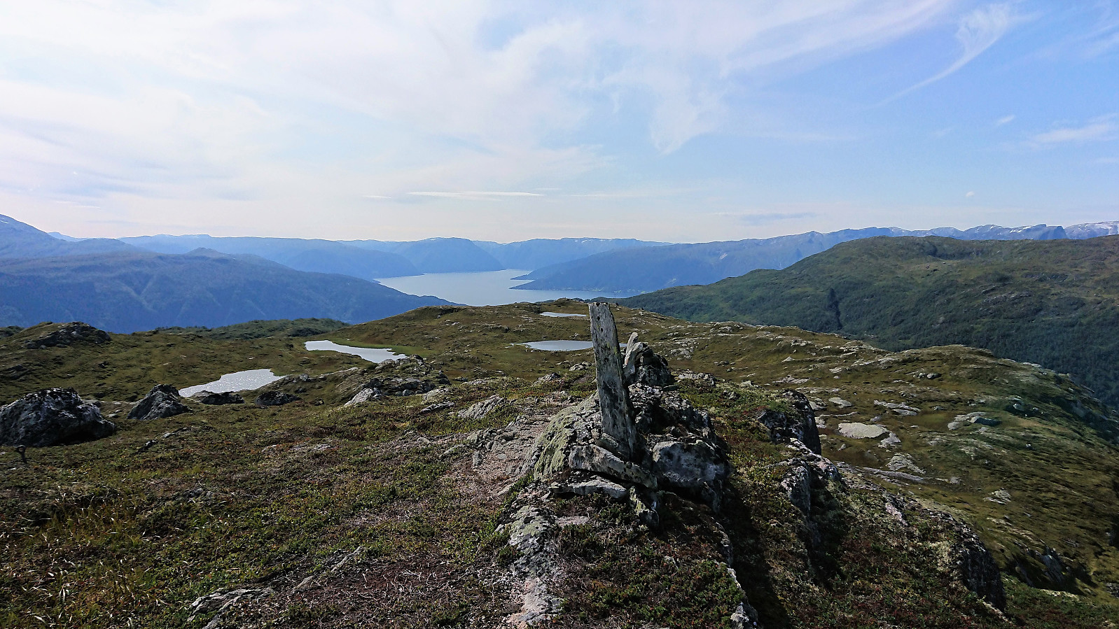
Veten, Skaftefjellet and Loddo
- Date:
- 21.08.2019
- Characteristic:
- Hillwalk
- Duration:
- 7:50h
- Distance:
- 29.1km
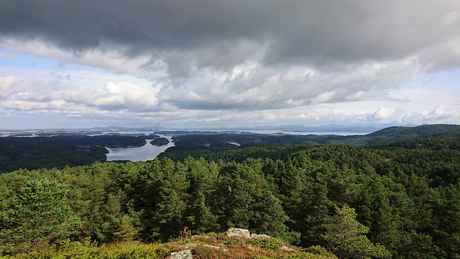 Not the best weather for hiking so far for this last week of my late summer holiday. So when the Wednesday forecast was finally showing better conditions, I got up early in the morning and took the first boat from Strandkaiterminalen in Bergen to Bekkjarvik. The first part of the hike consisted of walking along the road to the start of the trail towards Veten north of Ugleneset. No sidewalks except for at the very beginning, but thankfully the amount of traffic was limited.
The trailhead was unmarked as far as I could tell, but easy to locate. I followed the initial tractor road through a couple of gates and when the road came to an end continued on a wet trail. The trail soon connected with a larger muddy trail, which I then followed west to the summit of Veten, providing excellent views in all >>>
Not the best weather for hiking so far for this last week of my late summer holiday. So when the Wednesday forecast was finally showing better conditions, I got up early in the morning and took the first boat from Strandkaiterminalen in Bergen to Bekkjarvik. The first part of the hike consisted of walking along the road to the start of the trail towards Veten north of Ugleneset. No sidewalks except for at the very beginning, but thankfully the amount of traffic was limited.
The trailhead was unmarked as far as I could tell, but easy to locate. I followed the initial tractor road through a couple of gates and when the road came to an end continued on a wet trail. The trail soon connected with a larger muddy trail, which I then followed west to the summit of Veten, providing excellent views in all >>>
Across Hellen festning
- Date:
- 20.08.2019
- Characteristic:
- Hike
- Duration:
- 0:37h
- Distance:
- 3.6km
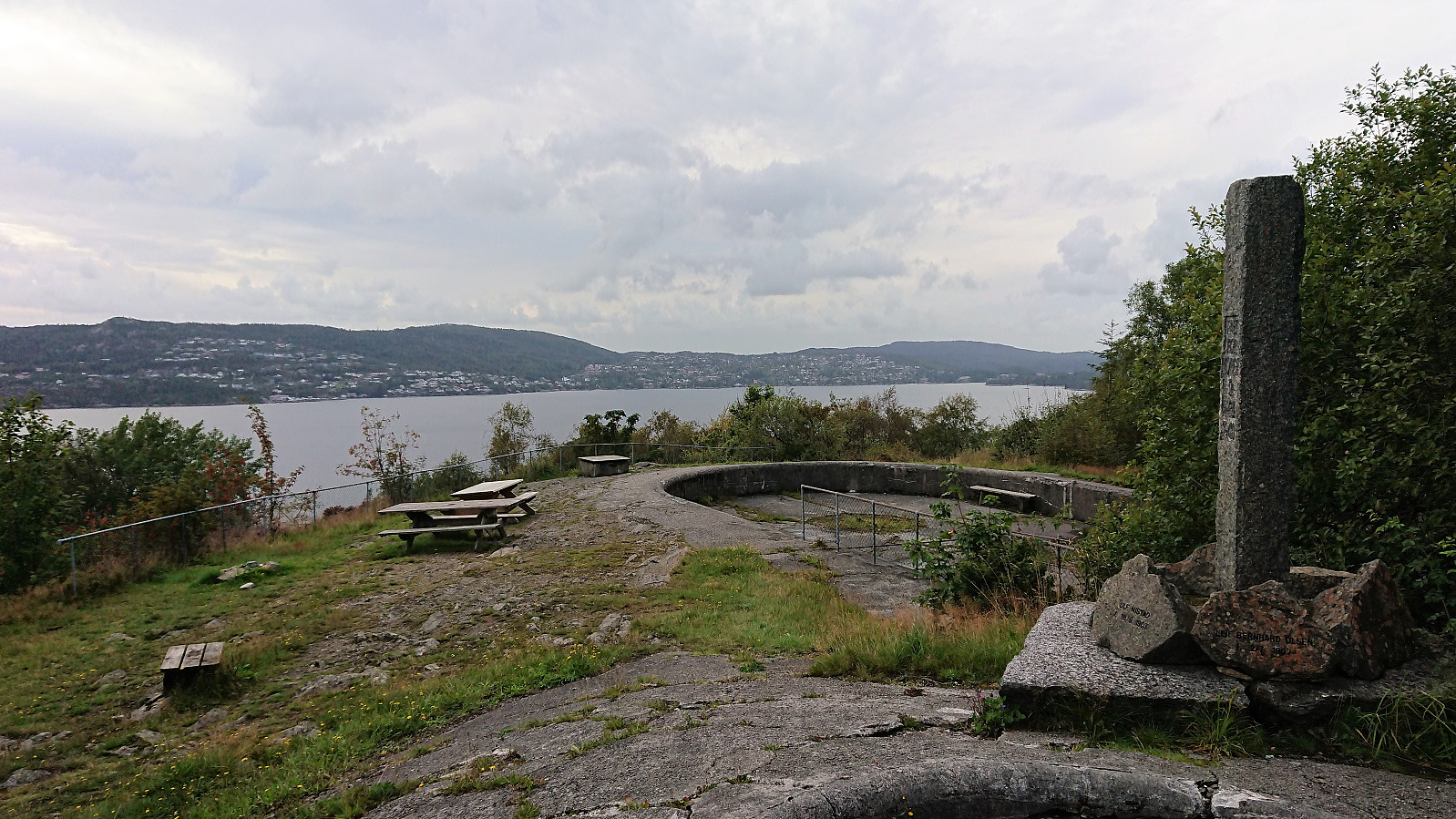
 Short local hike across Hellen festning.
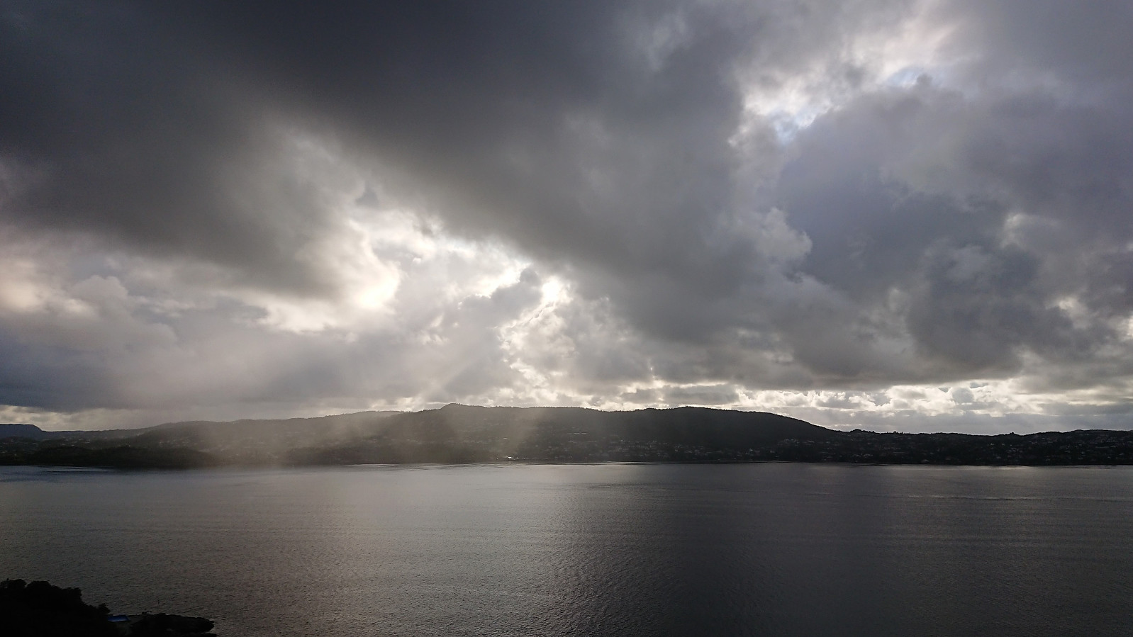
Sandviksbatteriet, Furukammen and Hellen festning
- Date:
- 18.08.2019
- Characteristic:
- Hike
- Duration:
- 2:25h
- Distance:
- 10.2km
 Local hike in weather varying from heavy rain and strong winds to warm and sunny.
Kjeringafjell from Kleppa
- Date:
- 15.08.2019
- Characteristic:
- Hillwalk
- Duration:
- 5:25h
- Distance:
- 19.0km
 I started from the parking lot at Kleppa and from there tried to follow the signs to Kjeringafjell (or rather Kjeringi as used on the signs). The first sign indicated that it was only 6.2 km to the summit, which I found odd, given that earlier PB reports showed distances closer to 10 km. However, most, if not all, of these were from skiing trips, so perhaps the summer route was shorter.
The signs did not always include Kjeringi though, resulting in multiple checks of the GPS to make sure that I was choosing the correct option when the trail split. This became much easier when getting above the tree line, but then the signs were not really needed anymore anyway. After leaving the gravel road, there were also a couple of wet sections, but most could easily be avoided by following the trail next to the tractor road instead of the >>>
I started from the parking lot at Kleppa and from there tried to follow the signs to Kjeringafjell (or rather Kjeringi as used on the signs). The first sign indicated that it was only 6.2 km to the summit, which I found odd, given that earlier PB reports showed distances closer to 10 km. However, most, if not all, of these were from skiing trips, so perhaps the summer route was shorter.
The signs did not always include Kjeringi though, resulting in multiple checks of the GPS to make sure that I was choosing the correct option when the trail split. This became much easier when getting above the tree line, but then the signs were not really needed anymore anyway. After leaving the gravel road, there were also a couple of wet sections, but most could easily be avoided by following the trail next to the tractor road instead of the >>>
Barsnesfjorden
- Date:
- 14.08.2019
- Characteristic:
- Hike
- Duration:
- 0:48h
- Distance:
- 4.5km
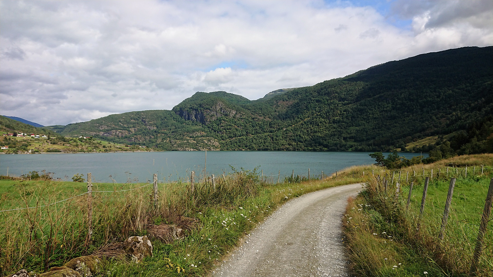 Yet another short walk along Barsnesfjorden.
Note that the road this hike follows is private, i.e. no cars allowed. There are however a couple of parking spaces down by the small wharf along Barsnesfjorden just before the road turns west and starts climbing slightly towards the crossroads at Barsnes.
Yet another short walk along Barsnesfjorden.
Note that the road this hike follows is private, i.e. no cars allowed. There are however a couple of parking spaces down by the small wharf along Barsnesfjorden just before the road turns west and starts climbing slightly towards the crossroads at Barsnes.
Barsnesfjorden
- Date:
- 13.08.2019
- Characteristic:
- Hike
- Duration:
- 1:00h
- Distance:
- 4.2km
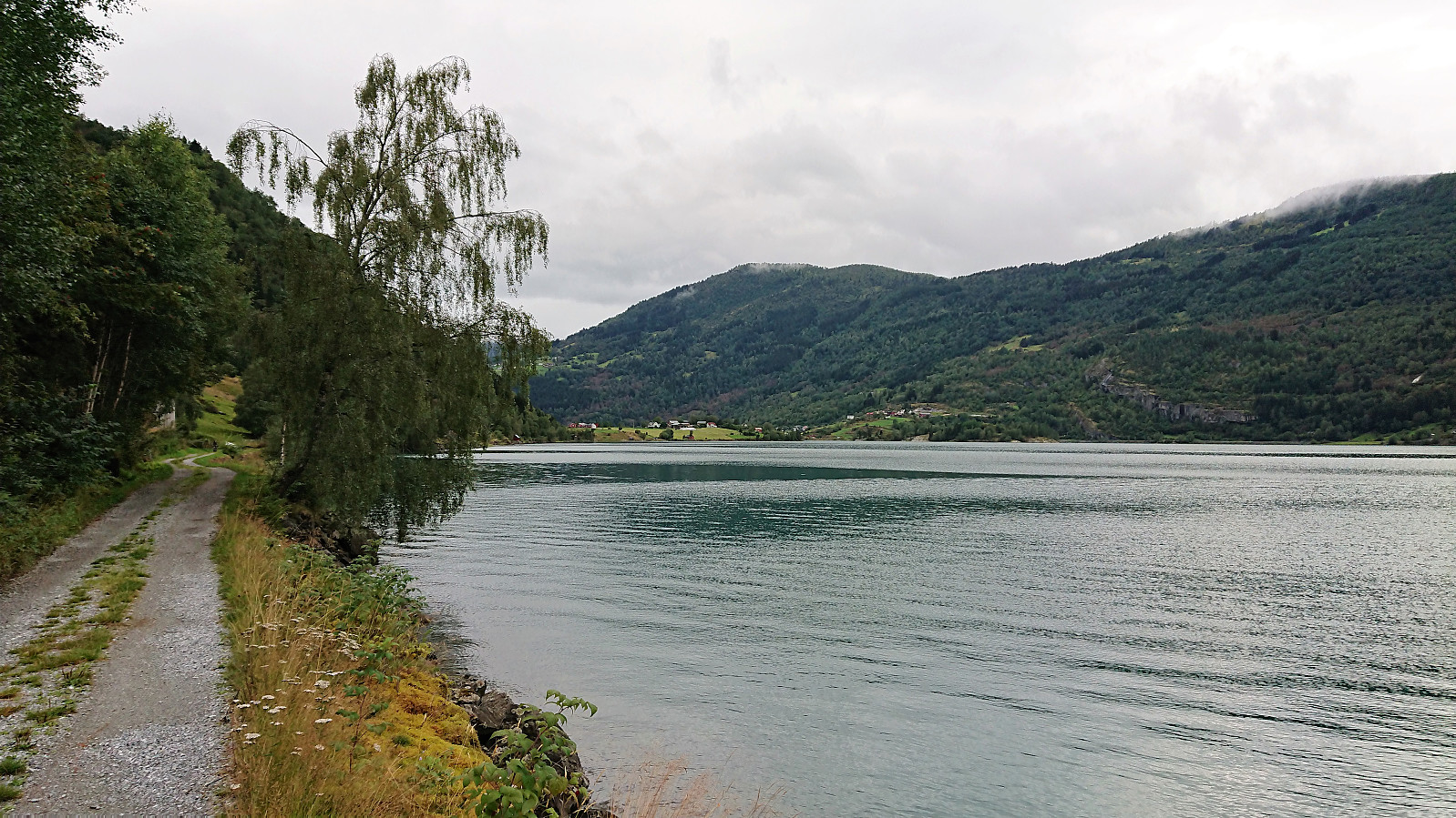 Yet another short walk along Barsnesfjorden.
(Note that the road this hike follows is private, i.e. no cars allowed. There are however a couple of parking spaces down by the small wharf along Barsnesfjorden just before the road turns west and starts climbing slightly towards the crossroads at Barsnes.)
Yet another short walk along Barsnesfjorden.
(Note that the road this hike follows is private, i.e. no cars allowed. There are however a couple of parking spaces down by the small wharf along Barsnesfjorden just before the road turns west and starts climbing slightly towards the crossroads at Barsnes.)
