Archiv - Nach Datum
Archiv - Nach Aktivität
-
Andere Tour (3)
- Kayaking (3)
-
Fahrradtour (111)
- Fahrradtour Straße (86)
- Fahrradtour gemischt (25)
-
Fahrzeugtour (9)
- Autotour (9)
-
Fußtour (1897)
- Bergtour (1120)
- Jogging (1)
- Spaziergang (60)
- Wanderung (716)
-
Skitour (116)
- Langlauf (47)
- Tourenskilauf (69)
Gesammelte Listen
-
Utvalgte topper og turmål i Bergen
(349/351)
 99%
99% -
Alle topper i Bergen
(393/400)
98%
-
Voss ≥ 100m pf.
(96/98)
97%
-
Opptur Hordaland
(144/159)
90%
-
Stasjoner på Bergensbanen
(33/40)
82%
-
Ulvik ≥ 100m pf.
(30/38)
78%
-
Hordaland ≥ 100m pf.
(624/863)
72%
-
Mjølfjell PF > 100m
(21/31)
67%
-
Jondal ≥ 100m pf.
(15/23)
65%
-
Dagsturhyttene i Vestland
(36/61)
59%
-
Sunnhordland PF >= 100m
(105/186)
56%
-
Hordaland: Hardanger PF>=100m
(196/359)
54%
-
DNT-hytter i Hordaland
(23/45)
51%
-
Kvinnherad ≥ 100m pf.
(40/79)
50%
-
Eidfjord ≥ 100m pf.
(13/42)
30%
-
Sogndal ≥ 100m pf.
(23/81)
28%
-
Gulen ≥ 100m pf.
(15/54)
27%
-
Vik i Sogn ≥ 100m pf.
(10/46)
21%
-
Sogn - Sør for Sognefjorden PF>=100m
(31/159)
19%
-
DNT-hytter i Sogn og Fjordane
(8/47)
17%

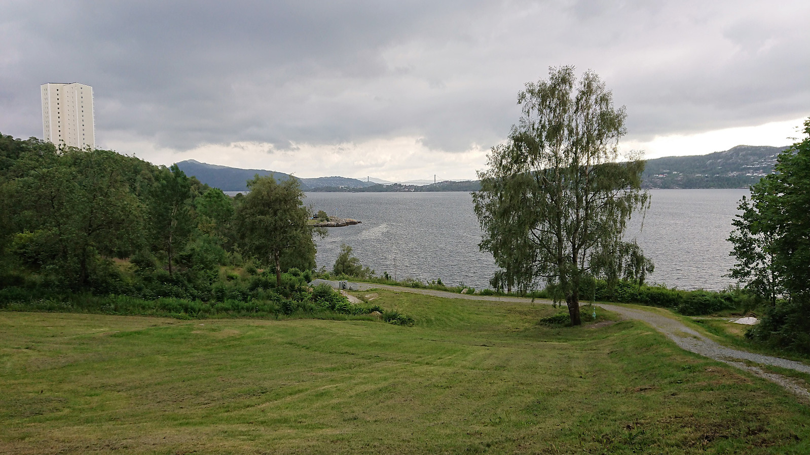
Across Hellen festning
- Datum:
- 30.06.2019
- Tourcharakter:
- Wanderung
- Tourlänge:
- 0:32h
- Entfernung:
- 3,1km
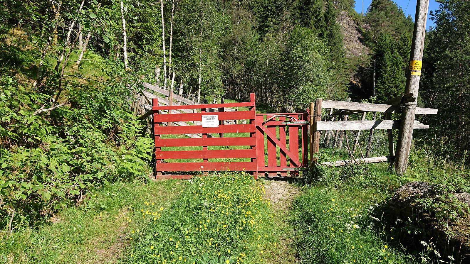
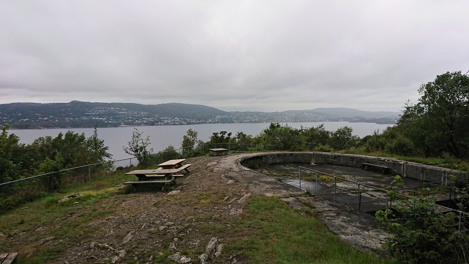 Short local hike across Hellen festning.
Cycling: Råvarden
- Datum:
- 29.06.2019
- Tourcharakter:
- Fahrradtour Straße
- Tourlänge:
- 3:21h
- Entfernung:
- 45,6km
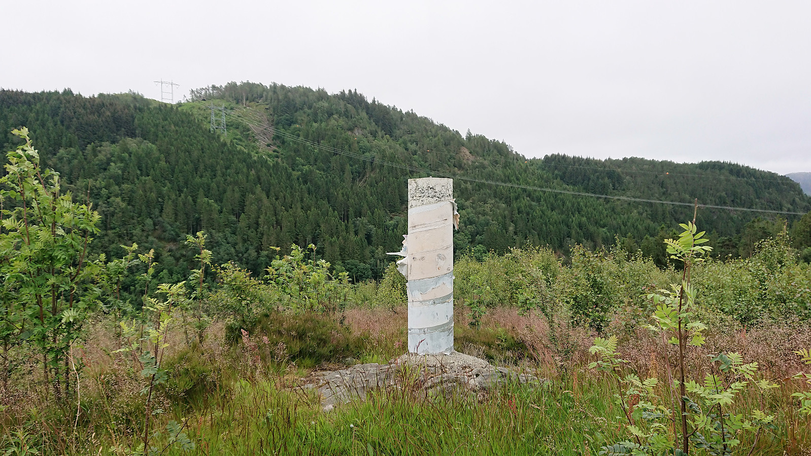 After initially dropping out of the Bergen ≥ 50m pf. og ≥ 100 m.o.h. list , due to having to re-complete it several times when new rather uninteresting peaks were added, I decided to rejoin after realizing that the latest addition to the list, Råvarden , could be easily reached by bike, thus making for an overall more enjoyable trip. Had to get off the bike for the final 60 meters walk to the summit, which today provided even less views than usual due to the low-hanging clouds. Another one of those "been there, done that" peaks that I'm pretty sure I will not feel the need to revisit.
Øyanovi, Storafjellet and Gløvret (Storfossen to Vaksdal)
- Datum:
- 27.06.2019
- Tourcharakter:
- Bergtour
- Tourlänge:
- 9:15h
- Entfernung:
- 21,3km
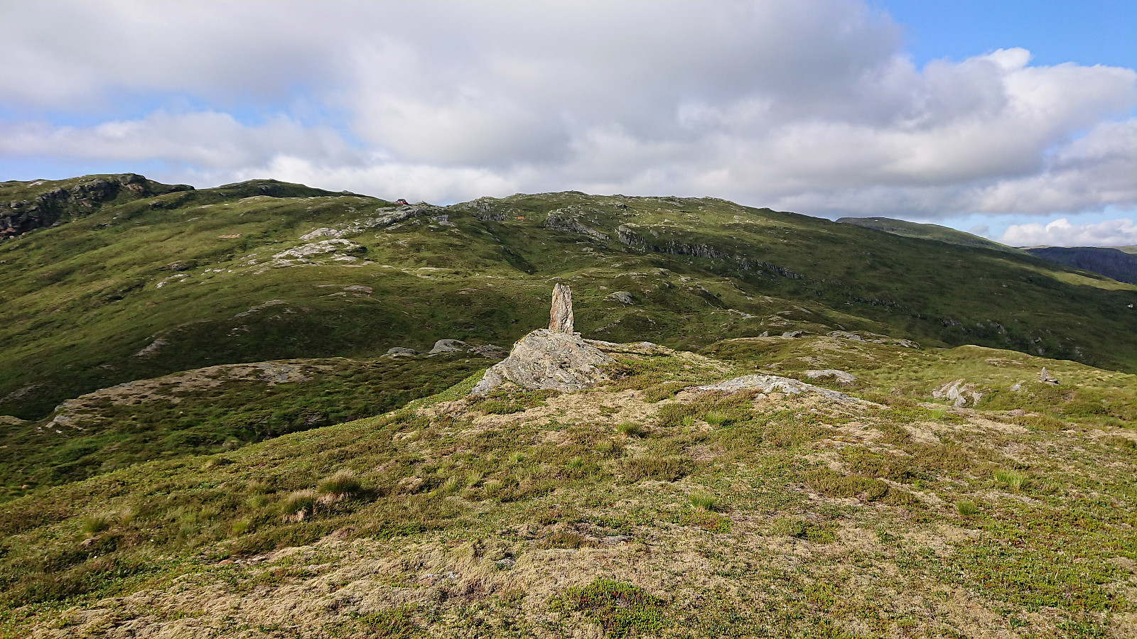 We started by taking the train to Dale and from there the connecting bus up to Storfossen/Storfossdammen. After crossing along the top of the dam, we followed the marked (but clearly not very heavily used) trail up Øyaskaret. Did not see any trails in the direction of Øyanovi , but when reaching the top of Øyaskaret it was straightforward to make progress towards the summit.
Note that the best views from Øyanovi were not obtained at the summit itself, but rather 100 meters further north (now added as a separate PB element ). For our return to the marked trail, we made a shortcut heading more directly south, but it would probably have been just as fast, due to the terrain, to rather retrace our steps to where we left the trail earlier on.
We then followed the marked trail towards Møyadalsnubben , but missed our exit and had to turn back >>>
We started by taking the train to Dale and from there the connecting bus up to Storfossen/Storfossdammen. After crossing along the top of the dam, we followed the marked (but clearly not very heavily used) trail up Øyaskaret. Did not see any trails in the direction of Øyanovi , but when reaching the top of Øyaskaret it was straightforward to make progress towards the summit.
Note that the best views from Øyanovi were not obtained at the summit itself, but rather 100 meters further north (now added as a separate PB element ). For our return to the marked trail, we made a shortcut heading more directly south, but it would probably have been just as fast, due to the terrain, to rather retrace our steps to where we left the trail earlier on.
We then followed the marked trail towards Møyadalsnubben , but missed our exit and had to turn back >>>
Våkendalen
- Datum:
- 23.06.2019
- Tourcharakter:
- Bergtour
- Tourlänge:
- 3:57h
- Entfernung:
- 17,9km
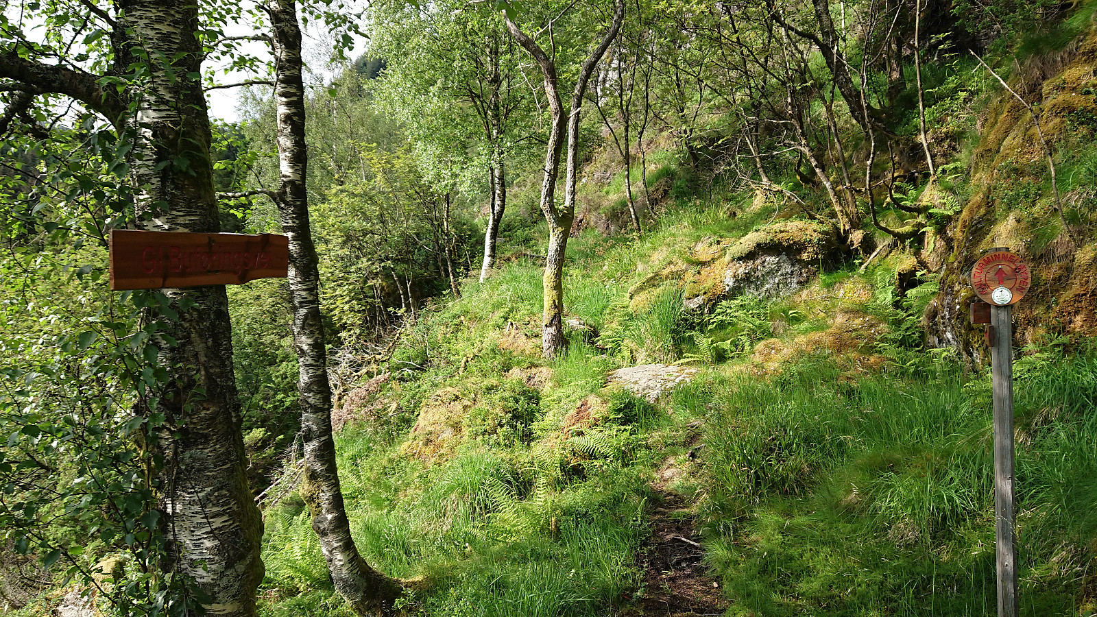 It was already late afternoon when it finally stopped raining and too late to visit any new peaks. I therefore settled on a new trail instead and hopped on a bus to Årstadveien. Upon reaching the northern end of Svartediket I left the main road and followed the trail up to Hardbakkedalen. Just before the trail enters the upper part of Hardbakkedalen, I turned left (north) for the new trail of the day: Buføringsvegen. My hope was that I would discover a new route up to Langelivatnet, or if this did not work out, end up somewhere below Tarlebøvatnet.
The trailhead was marked, but the trail itself did not seem very frequently used. It was however overall easy to follow and I soon arrived at the ruins at Hardbakkhaugen , where an information sign, mainly about the small farm, also mentioned that there used >>>
It was already late afternoon when it finally stopped raining and too late to visit any new peaks. I therefore settled on a new trail instead and hopped on a bus to Årstadveien. Upon reaching the northern end of Svartediket I left the main road and followed the trail up to Hardbakkedalen. Just before the trail enters the upper part of Hardbakkedalen, I turned left (north) for the new trail of the day: Buføringsvegen. My hope was that I would discover a new route up to Langelivatnet, or if this did not work out, end up somewhere below Tarlebøvatnet.
The trailhead was marked, but the trail itself did not seem very frequently used. It was however overall easy to follow and I soon arrived at the ruins at Hardbakkhaugen , where an information sign, mainly about the small farm, also mentioned that there used >>>
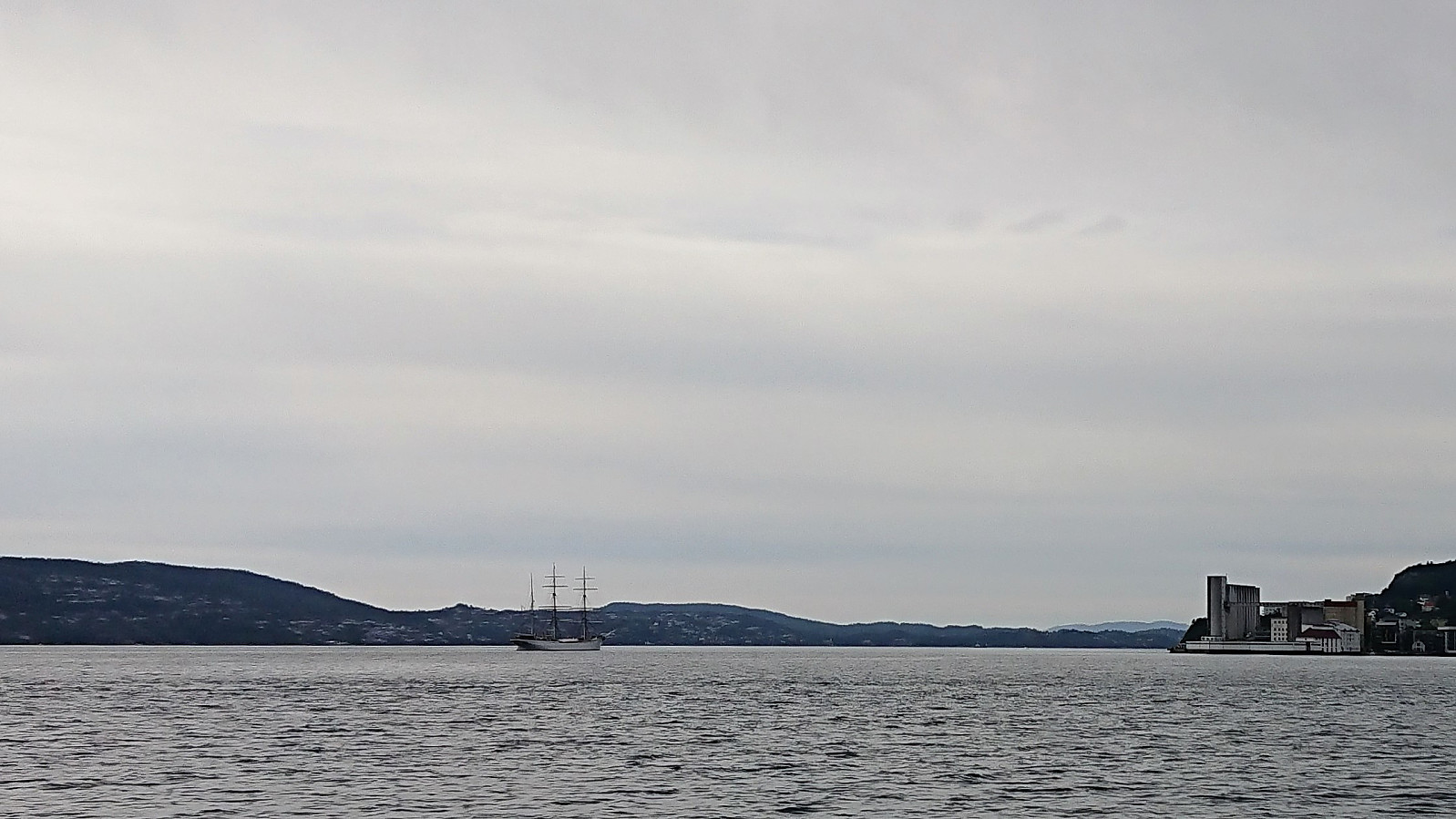
Øvre Lønborg and Hellen festning
- Datum:
- 20.06.2019
- Tourcharakter:
- Wanderung
- Tourlänge:
- 0:40h
- Entfernung:
- 3,6km
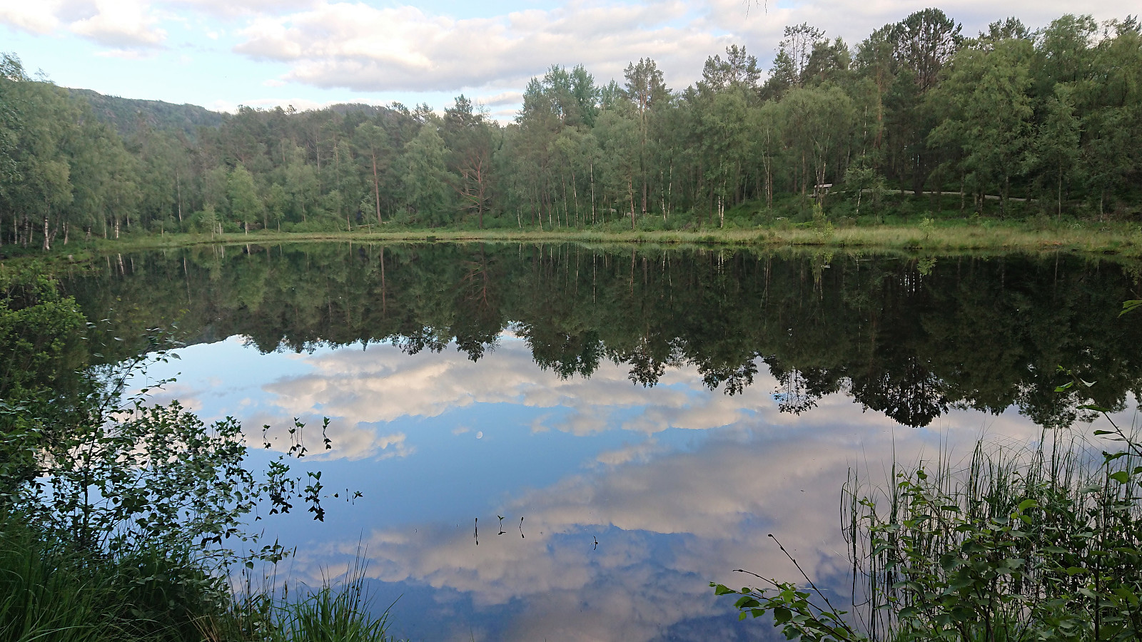
 Short local hike in very light rain.
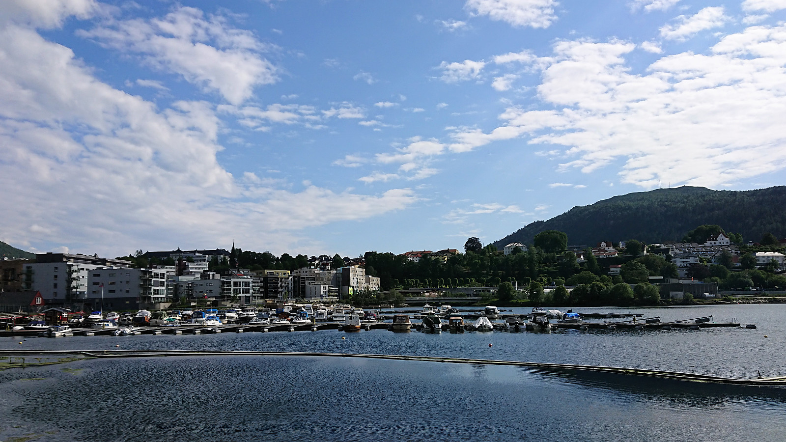
Haukeland sykehus to Ludebryggen
- Datum:
- 19.06.2019
- Tourcharakter:
- Spaziergang
- Tourlänge:
- 1:15h
- Entfernung:
- 6,7km
 Another walk on the way home from work.
Haukeland sykehus to Bontelabo
- Datum:
- 18.06.2019
- Tourcharakter:
- Spaziergang
- Tourlänge:
- 0:55h
- Entfernung:
- 5,1km
 Another short walk on the way home from work.
Gamle Bergen
- Datum:
- 16.06.2019
- Tourcharakter:
- Wanderung
- Tourlänge:
- 1:12h
- Entfernung:
- 6,6km
 Short local walk to Gamle Bergen and back.
Kvigedalsegga, Knutstignova, Høgenipa, Fylenipa and Beitelen
- Datum:
- 15.06.2019
- Tourcharakter:
- Bergtour
- Tourlänge:
- 9:21h
- Entfernung:
- 22,0km
 Started by taking the train to Dale and from there the bus to Tretteneset, where the bus driver provided a bit of extra service by dropping me off just where the tractor road starts (the official bus stop is a couple of hundred meters further up the road). The tractor road made the initial progress straightforward and I soon arrived at the end of the road. Here a trail to Dalseidstølen is shown on the map, but the weak trail I found did not really follow what was indicated on the map. It did however take me to Dalseidstølen, although there may a better trail that I missed.
From Dalseidstølen I first turned north, following various deer tracks, before turning southwest on a more direct route to Kvigedalsegga . Note that I did come across a weak trail just after leaving the cabin, but I quickly lost it. So while my route >>>
Started by taking the train to Dale and from there the bus to Tretteneset, where the bus driver provided a bit of extra service by dropping me off just where the tractor road starts (the official bus stop is a couple of hundred meters further up the road). The tractor road made the initial progress straightforward and I soon arrived at the end of the road. Here a trail to Dalseidstølen is shown on the map, but the weak trail I found did not really follow what was indicated on the map. It did however take me to Dalseidstølen, although there may a better trail that I missed.
From Dalseidstølen I first turned north, following various deer tracks, before turning southwest on a more direct route to Kvigedalsegga . Note that I did come across a weak trail just after leaving the cabin, but I quickly lost it. So while my route >>>
Ørneberget and Rognåsen
- Datum:
- 13.06.2019
- Tourcharakter:
- Bergtour
- Tourlänge:
- 1:34h
- Entfernung:
- 6,7km
 Local evening hike after work.
