Arkiv - dato
Arkiv - aktivitet
-
Annen tur (3)
- Kajakkpadling (3)
- Fottur (1897)
-
Kjøretur (9)
- Biltur (9)
-
Skitur (116)
- Fjellskitur (69)
- Langrennstur (47)
-
Sykkeltur (111)
- Blandet sykling (25)
- Gatesykling (86)
Lister jeg samler etter
-
Utvalgte topper og turmål i Bergen
(349/351)
 99%
99% -
Alle topper i Bergen
(393/400)
98%
-
Voss ≥ 100m pf.
(96/98)
97%
-
Opptur Hordaland
(144/159)
90%
-
Stasjoner på Bergensbanen
(33/40)
82%
-
Ulvik ≥ 100m pf.
(30/38)
78%
-
Hordaland ≥ 100m pf.
(624/863)
72%
-
Mjølfjell PF > 100m
(21/31)
67%
-
Jondal ≥ 100m pf.
(15/23)
65%
-
Dagsturhyttene i Vestland
(36/61)
59%
-
Sunnhordland PF >= 100m
(105/186)
56%
-
Hordaland: Hardanger PF>=100m
(196/359)
54%
-
DNT-hytter i Hordaland
(23/45)
51%
-
Kvinnherad ≥ 100m pf.
(40/79)
50%
-
Eidfjord ≥ 100m pf.
(13/42)
30%
-
Sogndal ≥ 100m pf.
(23/81)
28%
-
Gulen ≥ 100m pf.
(15/54)
27%
-
Vik i Sogn ≥ 100m pf.
(10/46)
21%
-
Sogn - Sør for Sognefjorden PF>=100m
(31/159)
19%
-
DNT-hytter i Sogn og Fjordane
(8/47)
17%

Skarsnuten, Vardafjellet, Grytefjellet and Beljaråsen
- Dato:
- 30.04.2019
- Turtype:
- Fjelltur
- Turlengde:
- 5:47t
- Distanse:
- 16,6km
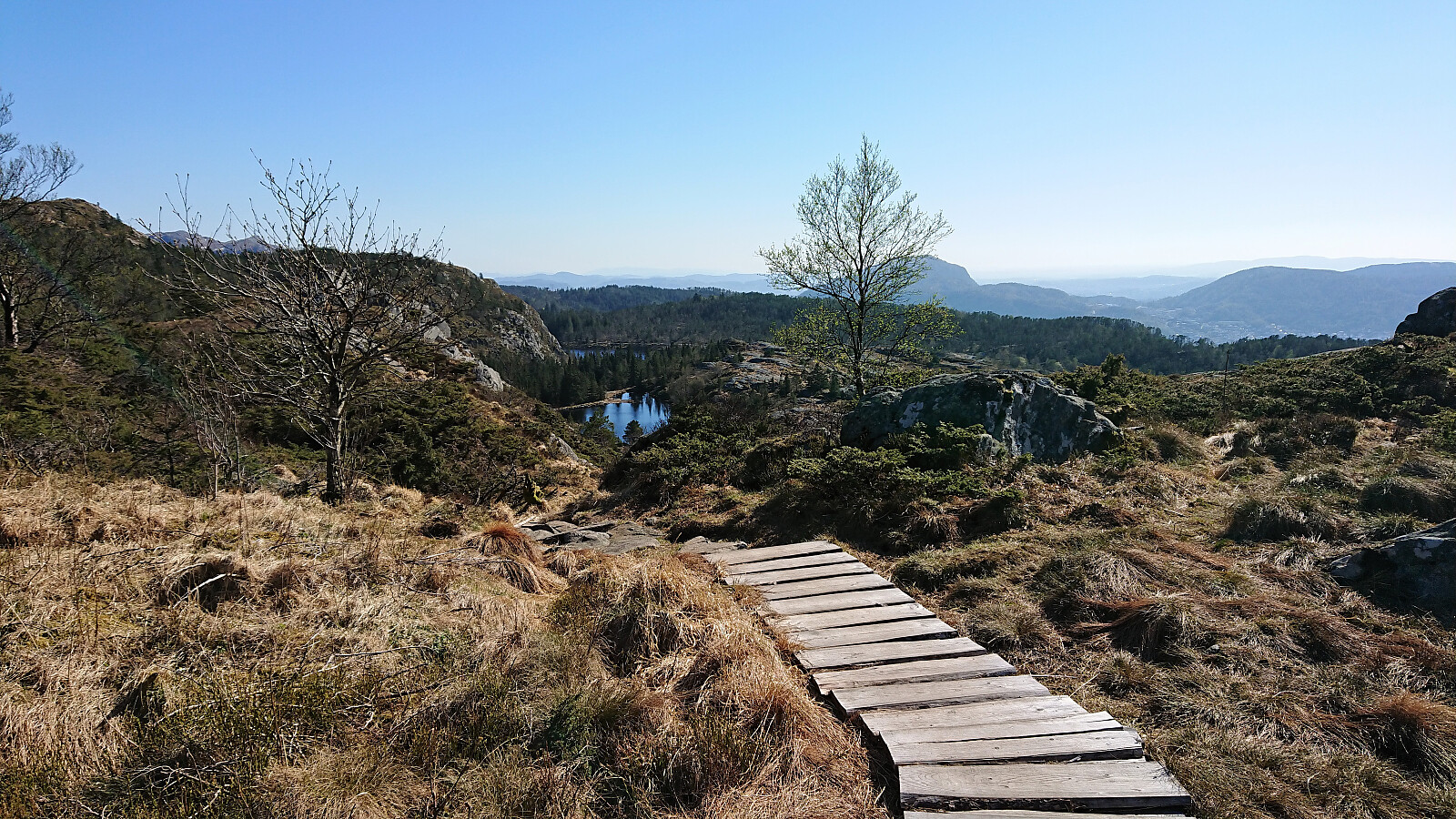
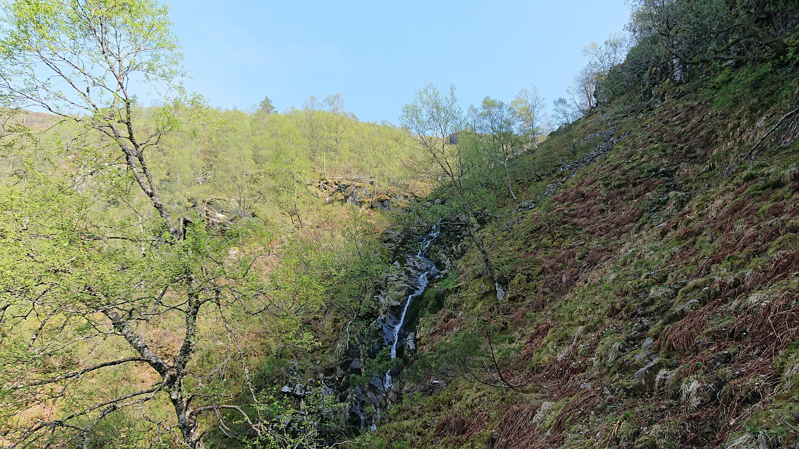 Another meeting ending at Solstrand, another hike beginning in Fusa. But this time I was lucky enough to catch a ride with a colleague and fellow Peakbooker HHauser (Helwig Hauser) . So when the rest of our colleagues got on the bus back to Bergen, we instead headed for the ferry to Venjaneset and onwards to the parking lot for Skarsnuten , all in perfect hiking weather.
From the parking lot we initially followed the gravel road north, but soon switched to the parallel tractor road. The idea being that it would probably not be too difficult to make a shortcut up the valley east of Skarsnuten, and thus get a more interesting hike. This turned out even easier than expected, given that shortly after the tractor road ended we came across a trail marked with white plastic ribbons, which ended up taking us all the way to the summit >>>
Another meeting ending at Solstrand, another hike beginning in Fusa. But this time I was lucky enough to catch a ride with a colleague and fellow Peakbooker HHauser (Helwig Hauser) . So when the rest of our colleagues got on the bus back to Bergen, we instead headed for the ferry to Venjaneset and onwards to the parking lot for Skarsnuten , all in perfect hiking weather.
From the parking lot we initially followed the gravel road north, but soon switched to the parallel tractor road. The idea being that it would probably not be too difficult to make a shortcut up the valley east of Skarsnuten, and thus get a more interesting hike. This turned out even easier than expected, given that shortly after the tractor road ended we came across a trail marked with white plastic ribbons, which ended up taking us all the way to the summit >>>
Across Hellen festning
- Dato:
- 28.04.2019
- Turtype:
- Fottur
- Turlengde:
- 0:36t
- Distanse:
- 3,7km
 Short local hike across Hellen festning.
Osen, Spåkefjellet and Beitelen
- Dato:
- 27.04.2019
- Turtype:
- Fjelltur
- Turlengde:
- 2:22t
- Distanse:
- 8,7km
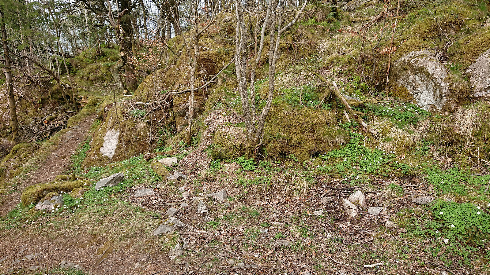
 Started by taking the bus to Ytre Arna and walking along the roads up to the marked trailhead at the end of Mons Slettens vei. Here there was also a trail coming up from the north, hence there is most likely a shortcut up from Ytre Arna I did not know about. Within minutes I arrived at the Lavvo indicated on the sign, and as soon as I left it behind, I could see the small hill that was the main goal of today’s hike: Osen .
While it would probably not have been very difficult to head directly for the summit, I decided to stay on the trail, taking me almost south of the hill, before a new sign marked the trail towards Osen. On the way to the summit I made a quick visit to Osen utsiktspunkt , providing an excellent overview of Gaupås. The views from the summit itself were also pretty good, with unusual views towards Sjurstonipa , >>>
Started by taking the bus to Ytre Arna and walking along the roads up to the marked trailhead at the end of Mons Slettens vei. Here there was also a trail coming up from the north, hence there is most likely a shortcut up from Ytre Arna I did not know about. Within minutes I arrived at the Lavvo indicated on the sign, and as soon as I left it behind, I could see the small hill that was the main goal of today’s hike: Osen .
While it would probably not have been very difficult to head directly for the summit, I decided to stay on the trail, taking me almost south of the hill, before a new sign marked the trail towards Osen. On the way to the summit I made a quick visit to Osen utsiktspunkt , providing an excellent overview of Gaupås. The views from the summit itself were also pretty good, with unusual views towards Sjurstonipa , >>>
Fagerdalsfjellet
- Dato:
- 23.04.2019
- Turtype:
- Fjelltur
- Turlengde:
- 0:25t
- Distanse:
- 1,9km
 Short local hike across Fagerdalsfjellet after work.
Ørneberget, Orretua and Emanuel Mohns utsikt
- Dato:
- 22.04.2019
- Turtype:
- Fjelltur
- Turlengde:
- 2:34t
- Distanse:
- 10,9km
 Local hike in excellent warm spring weather.
Across Hellen festning
- Dato:
- 21.04.2019
- Turtype:
- Fottur
- Turlengde:
- 0:33t
- Distanse:
- 3,3km
 Short local hike across Hellen festning after the drive home from Easter holidays in Sogndal.
Store and Vetle Haugmelen
- Dato:
- 20.04.2019
- Turtype:
- Fjellskitur
- Turlengde:
- 7:01t
- Distanse:
- 23,9km
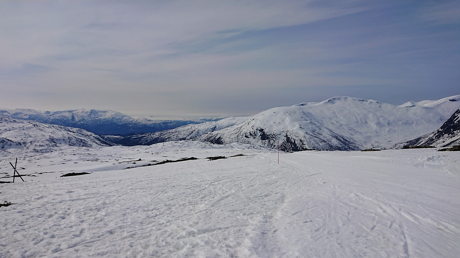
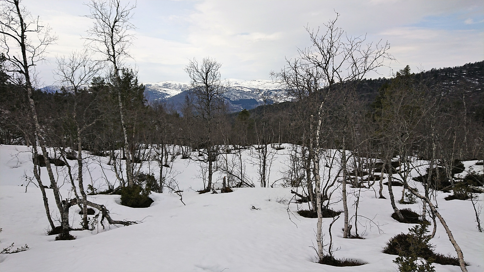 I was dropped off just before the locked gate at Dalåker and continued on foot along the gravel road. No snow at all until after the parking lot at Goro, and then only in shorter stretches consisting of more wet soft ice than snow. I did however put on the skis for a short time before reaching the trailhead for Store Haugmelen , but there the skis had to come off again as the start of the trail was completely void of snow. Soon there would be snow mixed in with the wet dirt, but it would take several hundred meters until I could finally put the skis back on for good, with only a couple of short stretches where walking was required.
Given the low amounts of snow, I decided to follow the summer route via Vassløysa instead of the longer ascent via the ridge from the south. This was also where all the old tracks were leading. >>>
I was dropped off just before the locked gate at Dalåker and continued on foot along the gravel road. No snow at all until after the parking lot at Goro, and then only in shorter stretches consisting of more wet soft ice than snow. I did however put on the skis for a short time before reaching the trailhead for Store Haugmelen , but there the skis had to come off again as the start of the trail was completely void of snow. Soon there would be snow mixed in with the wet dirt, but it would take several hundred meters until I could finally put the skis back on for good, with only a couple of short stretches where walking was required.
Given the low amounts of snow, I decided to follow the summer route via Vassløysa instead of the longer ascent via the ridge from the south. This was also where all the old tracks were leading. >>>
Lusaskard
- Dato:
- 19.04.2019
- Turtype:
- Fjellskitur
- Turlengde:
- 4:36t
- Distanse:
- 21,6km
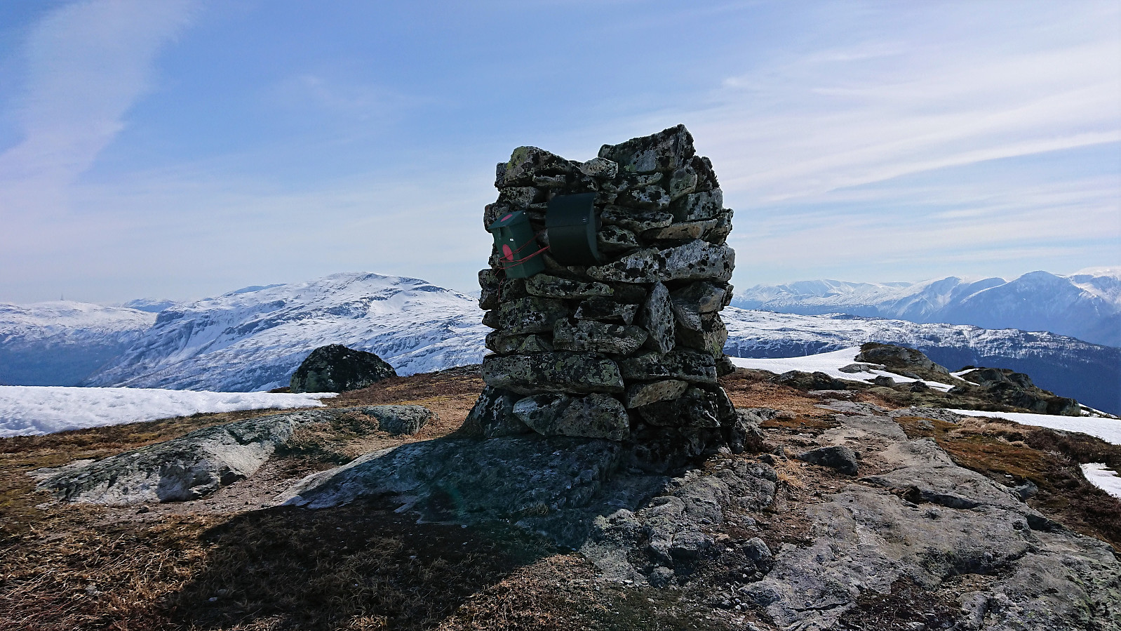 We started by following the marked skiing trail from Rindabotn to south of Fjærlandssetvatnet (with a minor shortcut up to Kollsetevatnet). From there we more or less followed the summer trail towards the summit, with some adjustments along the way. After enjoying the excellent views we returned to the marked trail and passed over Høgehaug on the way back down to Rindabotn.
Britabu Easter Barbecue 2019 + Around Fjærlandssetvatnet
- Dato:
- 18.04.2019
- Turtype:
- Langrennstur
- Turlengde:
- 3:30t
- Distanse:
- 15,9km
 Followed the ski trail from Rindabotn via Høgehaug around Fjærlandssetvatnet with a minor shortcut on the descent. The trip also included a visit to the traditional Easter barbecue at the Red Cross cabin Britabu .
Flot
- Dato:
- 17.04.2019
- Turtype:
- Fjelltur
- Turlengde:
- 1:34t
- Distanse:
- 3,4km
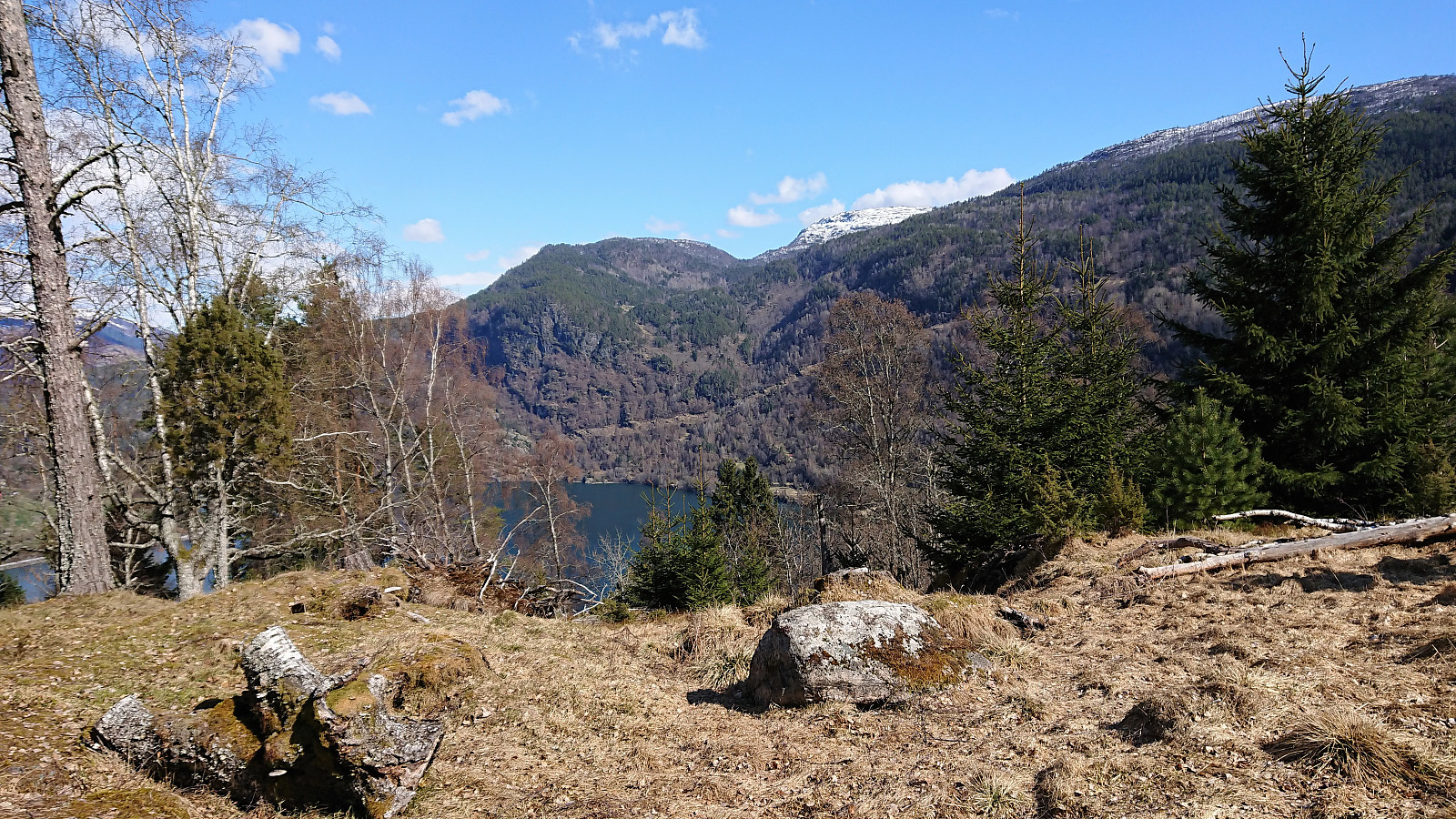 Short hike to Flot where we followed the marked trail on the ascent and the tractor road down to Barsnesfjorden on the descent.
Note that there is no parking where the trial starts. There are however a couple of parking spaces down by the small wharf along Barsnesfjorden just before the road turns west and starts climbing slightly towards the crossroads at Barsnes.
Short hike to Flot where we followed the marked trail on the ascent and the tractor road down to Barsnesfjorden on the descent.
Note that there is no parking where the trial starts. There are however a couple of parking spaces down by the small wharf along Barsnesfjorden just before the road turns west and starts climbing slightly towards the crossroads at Barsnes.
