Archiv - Nach Datum
Archiv - Nach Aktivität
-
Andere Tour (3)
- Kayaking (3)
-
Fahrradtour (111)
- Fahrradtour Straße (86)
- Fahrradtour gemischt (25)
-
Fahrzeugtour (9)
- Autotour (9)
-
Fußtour (1897)
- Bergtour (1120)
- Jogging (1)
- Spaziergang (60)
- Wanderung (716)
-
Skitour (116)
- Langlauf (47)
- Tourenskilauf (69)
Gesammelte Listen
-
Utvalgte topper og turmål i Bergen
(349/351)
 99%
99% -
Alle topper i Bergen
(393/400)
98%
-
Voss ≥ 100m pf.
(96/98)
97%
-
Opptur Hordaland
(144/159)
90%
-
Stasjoner på Bergensbanen
(33/40)
82%
-
Ulvik ≥ 100m pf.
(30/38)
78%
-
Hordaland ≥ 100m pf.
(624/863)
72%
-
Mjølfjell PF > 100m
(21/31)
67%
-
Jondal ≥ 100m pf.
(15/23)
65%
-
Dagsturhyttene i Vestland
(36/61)
59%
-
Sunnhordland PF >= 100m
(105/186)
56%
-
Hordaland: Hardanger PF>=100m
(196/359)
54%
-
DNT-hytter i Hordaland
(23/45)
51%
-
Kvinnherad ≥ 100m pf.
(40/79)
50%
-
Eidfjord ≥ 100m pf.
(13/42)
30%
-
Sogndal ≥ 100m pf.
(23/81)
28%
-
Gulen ≥ 100m pf.
(15/54)
27%
-
Vik i Sogn ≥ 100m pf.
(10/46)
21%
-
Sogn - Sør for Sognefjorden PF>=100m
(31/159)
19%
-
DNT-hytter i Sogn og Fjordane
(8/47)
17%

Øvsttuntoppen from Skjoldskiftet
- Datum:
- 28.02.2019
- Tourcharakter:
- Wanderung
- Tourlänge:
- 1:21h
- Entfernung:
- 5,4km
 Short walk to Øvsttuntoppen with two colleagues.
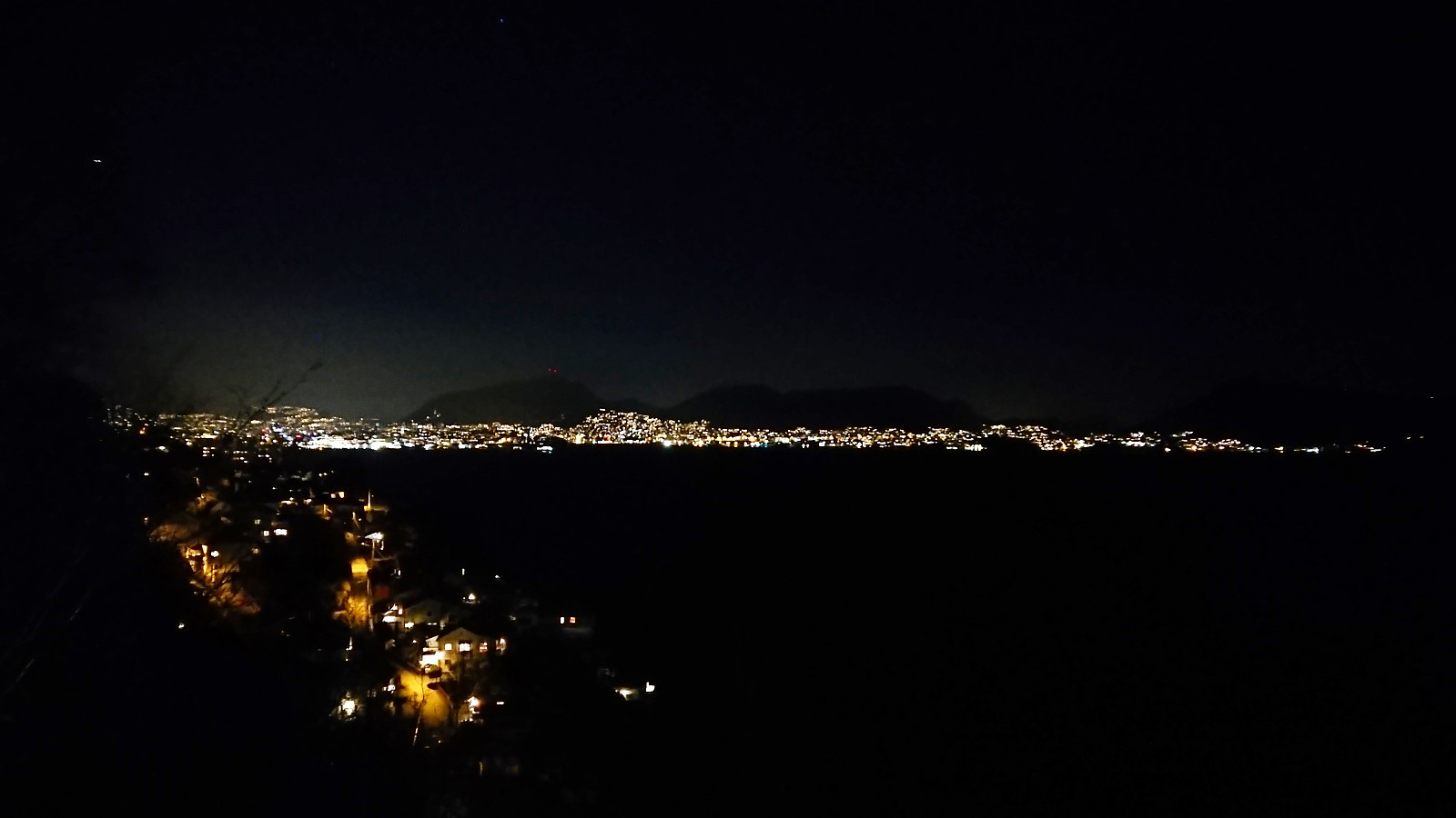
Haukeland sykehus to Bryggen
- Datum:
- 26.02.2019
- Tourcharakter:
- Spaziergang
- Tourlänge:
- 0:47h
- Entfernung:
- 4,2km
 Short walk from Haukeland sykehus to Bryggen on the way home from work.
Fuglafjellet from Hamlagrøvatnet
- Datum:
- 24.02.2019
- Tourcharakter:
- Tourenskilauf
- Tourlänge:
- 9:16h
- Entfernung:
- 27,8km
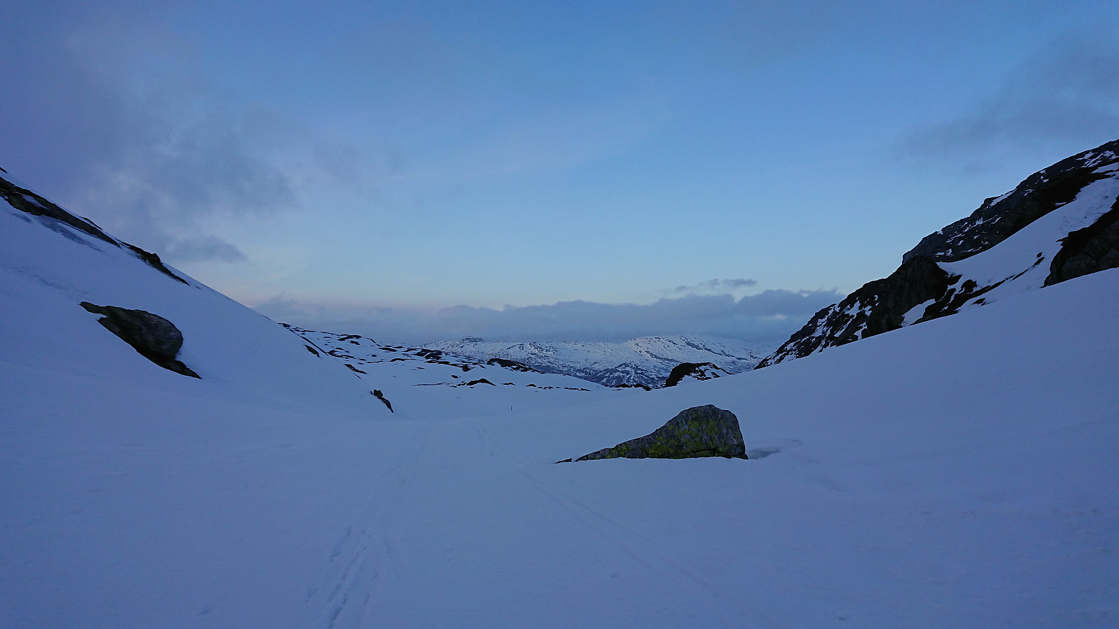 We parked at the small parking lot east of Vesletjørni and from there followed the marked trail towards Vending . Not the best skiing conditions, icy and with lots of areas already running low on snow, and with next to no wind and the sun peeking through the clouds it felt more like Easter than the late February the calendar was indicating.
After passing east of Vending, we skied down to the small cabin in Fugladalen, where we had a quick lunch before starting the climb up to Fossavatnet. From Fossavatnet we followed the river up to Øvre Fugladalsvatnet, thus avoiding the steepest sections at the bottom of the valley up from Fossavatnet. Note that one should be careful with regards to the snow conditions when heading up this relatively narrow gorge. Very low risk for avalanches this Sunday though, >>>
We parked at the small parking lot east of Vesletjørni and from there followed the marked trail towards Vending . Not the best skiing conditions, icy and with lots of areas already running low on snow, and with next to no wind and the sun peeking through the clouds it felt more like Easter than the late February the calendar was indicating.
After passing east of Vending, we skied down to the small cabin in Fugladalen, where we had a quick lunch before starting the climb up to Fossavatnet. From Fossavatnet we followed the river up to Øvre Fugladalsvatnet, thus avoiding the steepest sections at the bottom of the valley up from Fossavatnet. Note that one should be careful with regards to the snow conditions when heading up this relatively narrow gorge. Very low risk for avalanches this Sunday though, >>>
Almeskila and Snøyo
- Datum:
- 23.02.2019
- Tourcharakter:
- Bergtour
- Tourlänge:
- 3:02h
- Entfernung:
- 7,6km
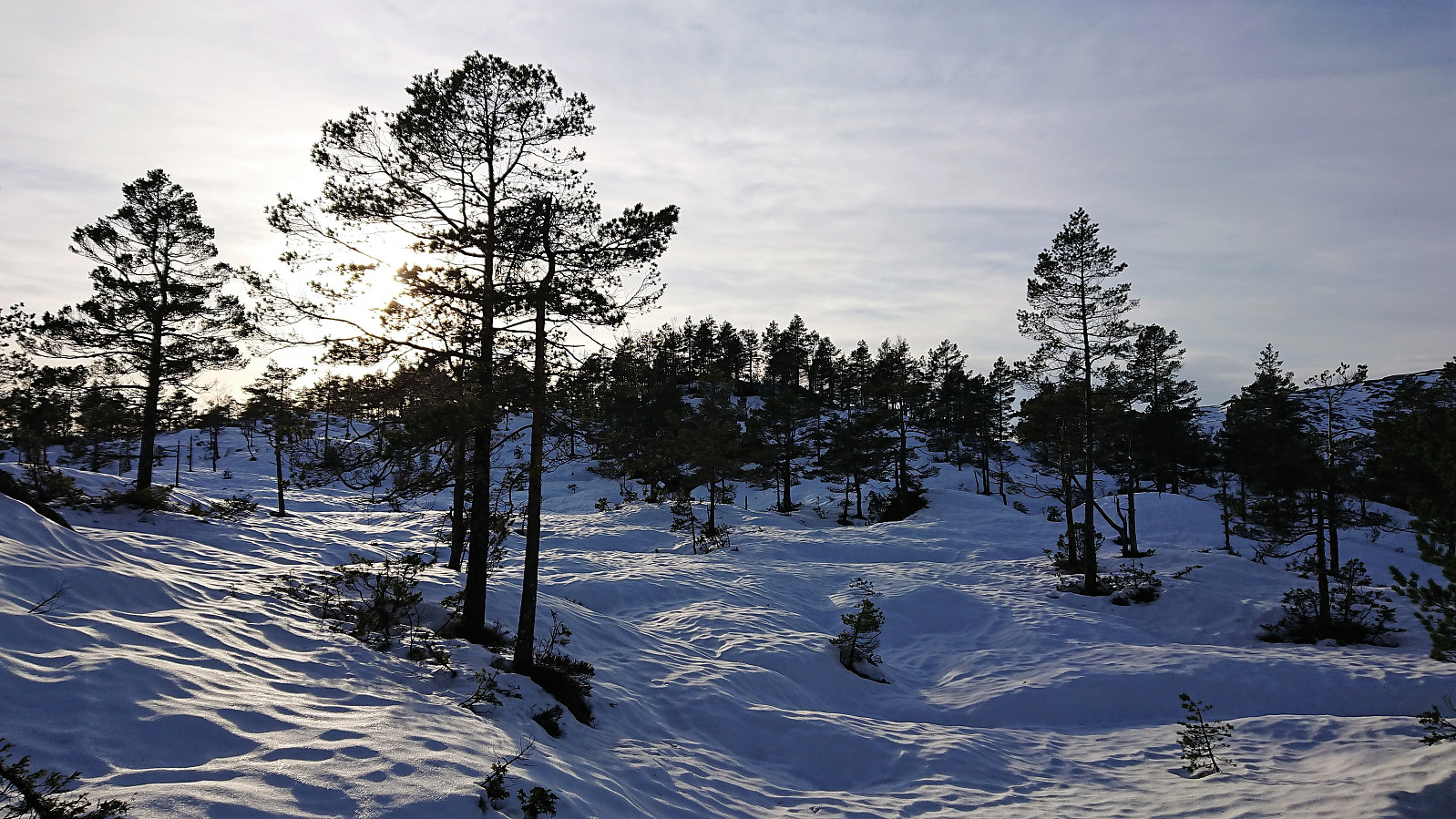 Started by taking the bus to Romarheim (bus stop called "Romarheim kryss E39") and from there walking south along the road to the trailhead for Almeskila . The trailhead was not marked, i.e. no sign with Almeskila, but the trail itself was clearly marked (and was so all the way to the summit).
Already before leaving the bus I had noticed that there was significantly more snow than I had expected (given that pretty much all the snow was gone in Bergen), but I was still surprised when leaving the road and immediately sinking up to above my knees in snow, and thus quickly realizing that this would be a tougher hike than planned.
Thankfully the deepest snow only lasted for the first 100 meters and when the trail started climbing it became much easier to make progress with the snow now only reaching >>>
Started by taking the bus to Romarheim (bus stop called "Romarheim kryss E39") and from there walking south along the road to the trailhead for Almeskila . The trailhead was not marked, i.e. no sign with Almeskila, but the trail itself was clearly marked (and was so all the way to the summit).
Already before leaving the bus I had noticed that there was significantly more snow than I had expected (given that pretty much all the snow was gone in Bergen), but I was still surprised when leaving the road and immediately sinking up to above my knees in snow, and thus quickly realizing that this would be a tougher hike than planned.
Thankfully the deepest snow only lasted for the first 100 meters and when the trail started climbing it became much easier to make progress with the snow now only reaching >>>
Torget to Ludebryggen
- Datum:
- 22.02.2019
- Tourcharakter:
- Spaziergang
- Tourlänge:
- 0:38h
- Entfernung:
- 3,2km
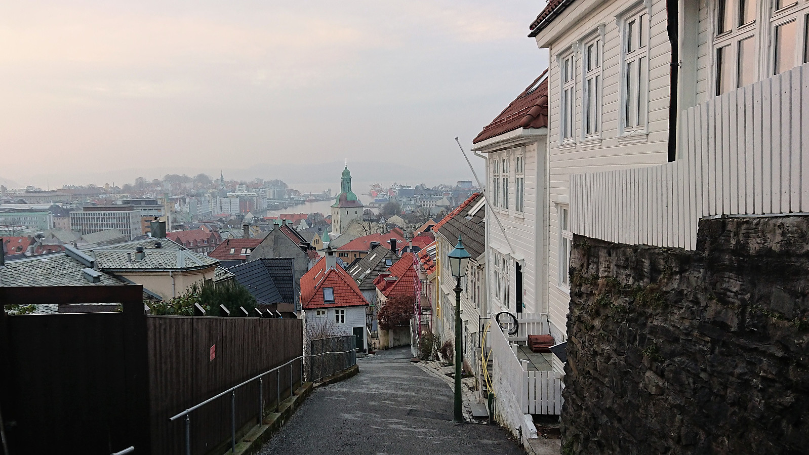
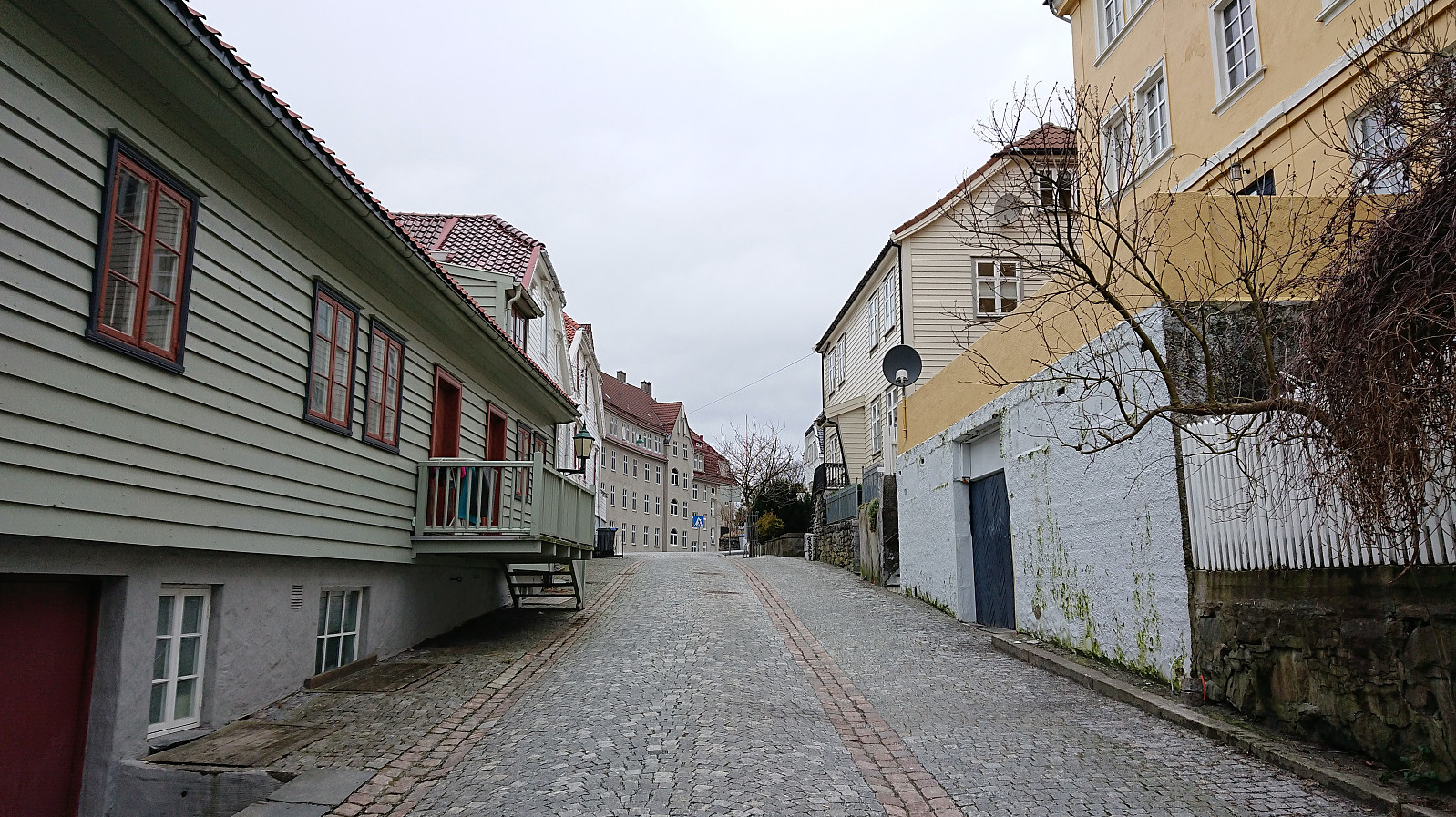 Short walk from Torget to Ludebryggen on the way home from work.
Kvitanosi (almost...) from Gullbrå
- Datum:
- 17.02.2019
- Tourcharakter:
- Tourenskilauf
- Tourlänge:
- 6:21h
- Entfernung:
- 14,7km
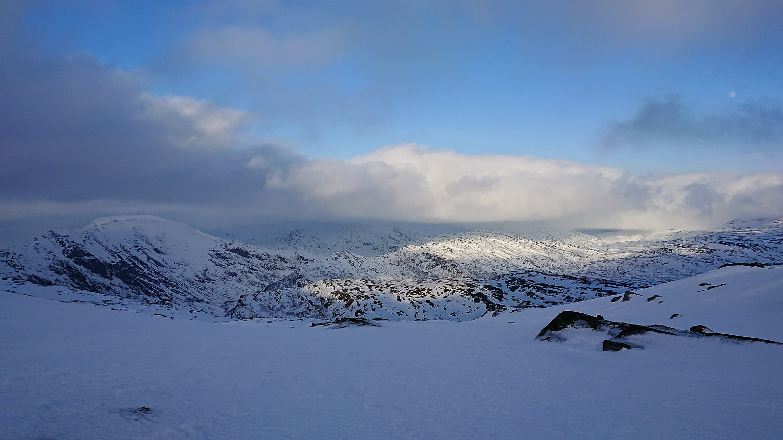 Trip organized by the Norwegian Trekking Association which started by carpooling to Gullbrå. Light rain at the start of the trip and increasing winds as we made our way up towards Kvitanosi . Sadly, part of the group made much slower progress than expected and with just around 500 meters to the summit (and less than 100 vertical meters to climb), it was decided that we would have to start our descent in order to make it down before it got dark. By then the conditions had also gotten worse, with very limited visibility due to a rather dense fog. Splitting the group was therefore not really an option. Hence my main goal of the day had to be abandoned. But in the end it probably turned out to be the right choice, as it started to get dark before the last member of our group made it back down to the parking lot. The weather did however >>>
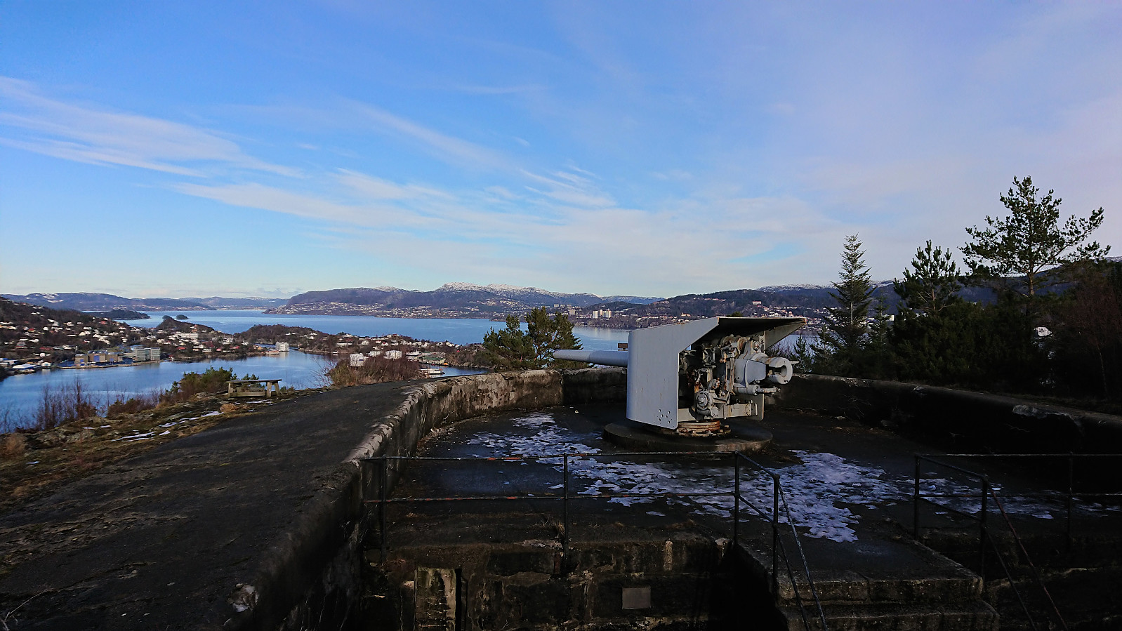
Across Hellen festning
- Datum:
- 16.02.2019
- Tourcharakter:
- Wanderung
- Tourlänge:
- 0:45h
- Entfernung:
- 3,8km
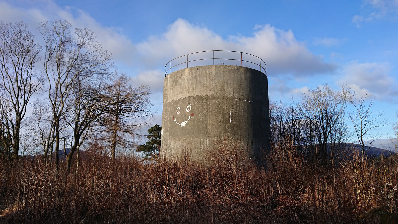
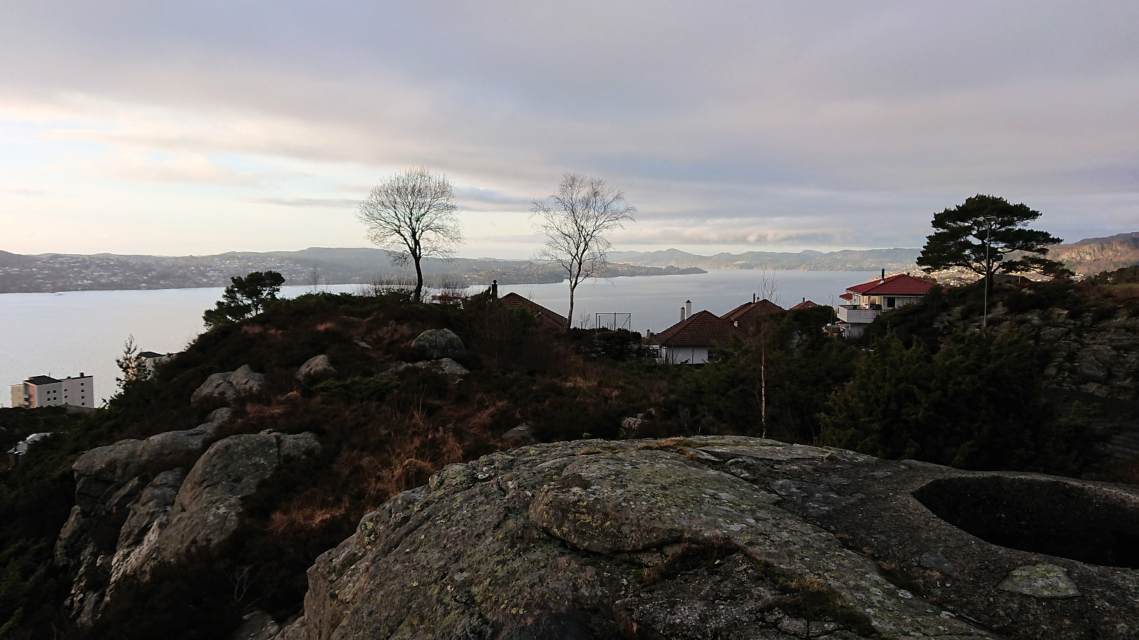 Short local hike across Hellen festning.
Haukeland sykehus to Lønborg
- Datum:
- 15.02.2019
- Tourcharakter:
- Wanderung
- Tourlänge:
- 1:54h
- Entfernung:
- 10,2km
 Decided to walk home from work given the nice weather.
Lyderhorn Roundtrip
- Datum:
- 10.02.2019
- Tourcharakter:
- Bergtour
- Tourlänge:
- 2:47h
- Entfernung:
- 9,4km
 Started by taking the bus to Lyngbø (bus stop called Lyngbø Rv. 555) and following the roads to Kvarven fort . Shortly after starting the ascent the roads turned very icy and I spent more time walking next to the road than on the road itself. When the road changed to trail the conditions shortly improved, but the ice would soon return. I reached the summit of Lyderhorn without any real difficulties though. For my descent I decided on the trial down to Banuren. Rather icy at the beginning and later more stream than trail. Upon reaching Banuren, the hike was completed by walking along the roads back to Lyngbø for the bus home. A nice roundtrip, but probably much nicer when there is less ice.
Fagerdalsfjellet and Ørneberget
- Datum:
- 09.02.2019
- Tourcharakter:
- Bergtour
- Tourlänge:
- 1:05h
- Entfernung:
- 4,3km
 Short local hike across Fagerdalsfjellet and Ørneberget. The trails were overall more wet than icy.
