Archive - Date
Archive - Activity
-
Bike trip (111)
- Bike trip - mixed (25)
- Bike trip - road (86)
-
Drive (9)
- Car drive (9)
-
Other trip (3)
- Kayaking (3)
-
Ski trip (116)
- Backcountry skiing (69)
- Cross-country skiing (47)
- Trip by foot (1897)
Collected lists
-
Utvalgte topper og turmål i Bergen
(349/351)
 99%
99% -
Alle topper i Bergen
(393/400)
98%
-
Voss ≥ 100m pf.
(96/98)
97%
-
Opptur Hordaland
(144/159)
90%
-
Stasjoner på Bergensbanen
(33/40)
82%
-
Ulvik ≥ 100m pf.
(30/38)
78%
-
Hordaland ≥ 100m pf.
(624/863)
72%
-
Mjølfjell PF > 100m
(21/31)
67%
-
Jondal ≥ 100m pf.
(15/23)
65%
-
Dagsturhyttene i Vestland
(36/61)
59%
-
Sunnhordland PF >= 100m
(105/186)
56%
-
Hordaland: Hardanger PF>=100m
(196/359)
54%
-
DNT-hytter i Hordaland
(23/45)
51%
-
Kvinnherad ≥ 100m pf.
(40/79)
50%
-
Eidfjord ≥ 100m pf.
(13/42)
30%
-
Sogndal ≥ 100m pf.
(23/81)
28%
-
Gulen ≥ 100m pf.
(15/54)
27%
-
Vik i Sogn ≥ 100m pf.
(10/46)
21%
-
Sogn - Sør for Sognefjorden PF>=100m
(31/159)
19%
-
DNT-hytter i Sogn og Fjordane
(8/47)
17%

Solheimsviken
- Date:
- 31.01.2019
- Characteristic:
- Walk
- Duration:
- 0:29h
- Distance:
- 2.0km
 Short walk around Solheimsviken with colleagues during a break at work.
Hellen festning and Furukammen
- Date:
- 30.01.2019
- Characteristic:
- Hike
- Duration:
- 1:54h
- Distance:
- 5.1km
 Short local evening hike across Hellen festning and Furukammen. Thankfully most of the ice from my previous visit was now replaced by snow.
Fløyen via Vikinghytten to Lønborg
- Date:
- 27.01.2019
- Characteristic:
- Backcountry skiing
- Duration:
- 7:02h
- Distance:
- 22.9km
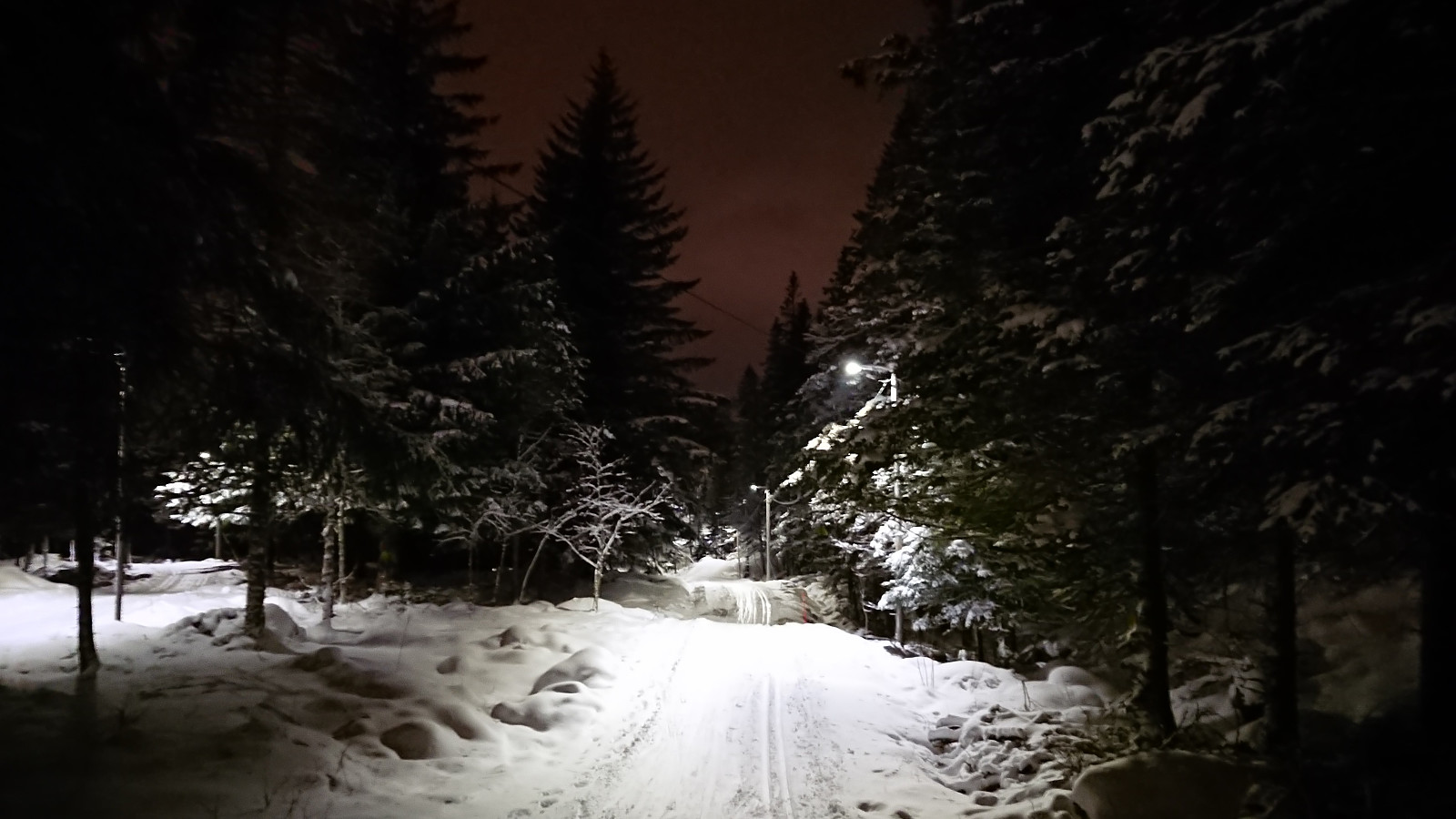
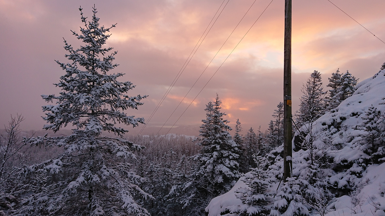
 Started from the upper station of Fløibanen and from there followed the usual skiing route to Rundemanen . Less snow than I had hoped for the last stretch to Rundemanen (and no snow at all at the summit itself). Getting down Hyttelien also required going more back and forth than usual in order to avoid areas with rocks and/or grass peaking up through the snow. The conditions improved slightly toward Jordalsskaret, but as I turned southeast the snow was more or less completely replaced by ice or grass.
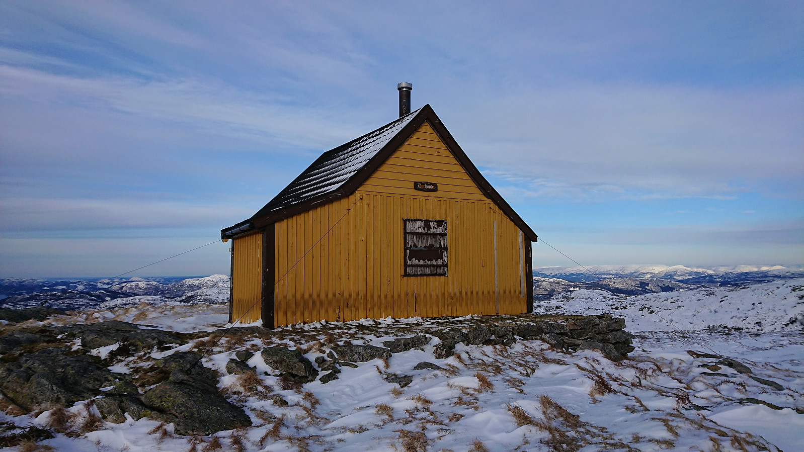
Upon reaching the plateau northwest of Øvre Jordalsvatnet the conditions again improved, but on my way up to Dyrhovda , and later to Vikinghytten , there were still plenty of areas that could do with a lot more snow. After a short visit to Arnahytten , I passed by Vikinghytten before making my own shortcut down to Tranehytten and Gangerolf , and with this >>>
Started from the upper station of Fløibanen and from there followed the usual skiing route to Rundemanen . Less snow than I had hoped for the last stretch to Rundemanen (and no snow at all at the summit itself). Getting down Hyttelien also required going more back and forth than usual in order to avoid areas with rocks and/or grass peaking up through the snow. The conditions improved slightly toward Jordalsskaret, but as I turned southeast the snow was more or less completely replaced by ice or grass.
Upon reaching the plateau northwest of Øvre Jordalsvatnet the conditions again improved, but on my way up to Dyrhovda , and later to Vikinghytten , there were still plenty of areas that could do with a lot more snow. After a short visit to Arnahytten , I passed by Vikinghytten before making my own shortcut down to Tranehytten and Gangerolf , and with this >>>
Ørneberget
- Date:
- 26.01.2019
- Characteristic:
- Hillwalk
- Duration:
- 1:38h
- Distance:
- 5.4km
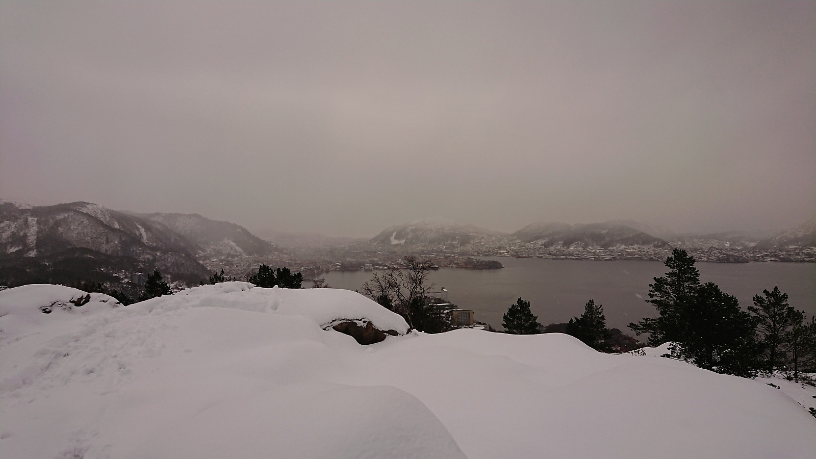 Short local hike to Ørneberget.
Skiing at Fløyen
- Date:
- 24.01.2019
- Characteristic:
- Cross-country skiing
- Duration:
- 2:53h
- Distance:
- 16.6km
 More or less an exact copy of my skiing trip from Fløyen to Lønborg earlier in the week, but with a slightly longer route through "lysløypen" before turning north for Lønborg. The skiing conditions for the floodlit track had not changed much, but there was now clearly more snow outside the track. So it should soon be possible to do some proper backcountry skiing. For the descent, I made it almost to Munkebotsvatnet before removing the skis, although it would probably have been fine to continue all the way to the lake. And like on Monday, I put the skis back in Hellemyrstien, but this time I could keep them on all the way to the top of Øyjordsveien.
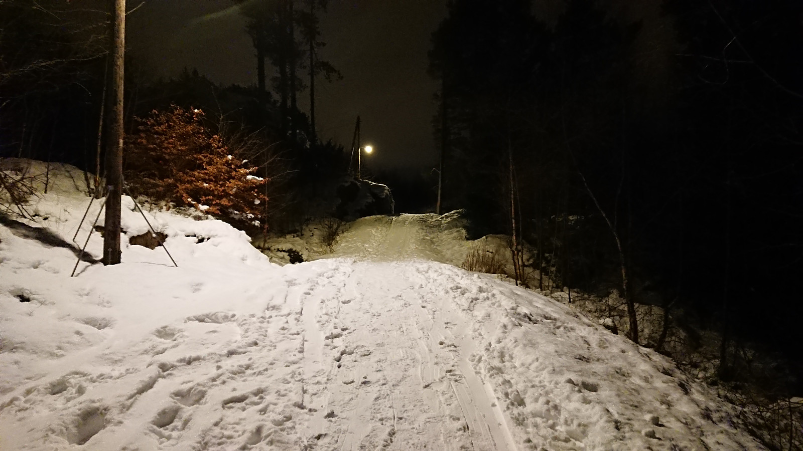
Across Hellen festning
- Date:
- 23.01.2019
- Characteristic:
- Hike
- Duration:
- 1:07h
- Distance:
- 5.2km
 Short local evening hike across Hellen festning. All the roads at Hellen festning were very icy, hence the unusual route up to the top of Øyjorden.
Skiing at Fløyen
- Date:
- 21.01.2019
- Characteristic:
- Cross-country skiing
- Duration:
- 2:53h
- Distance:
- 14.5km
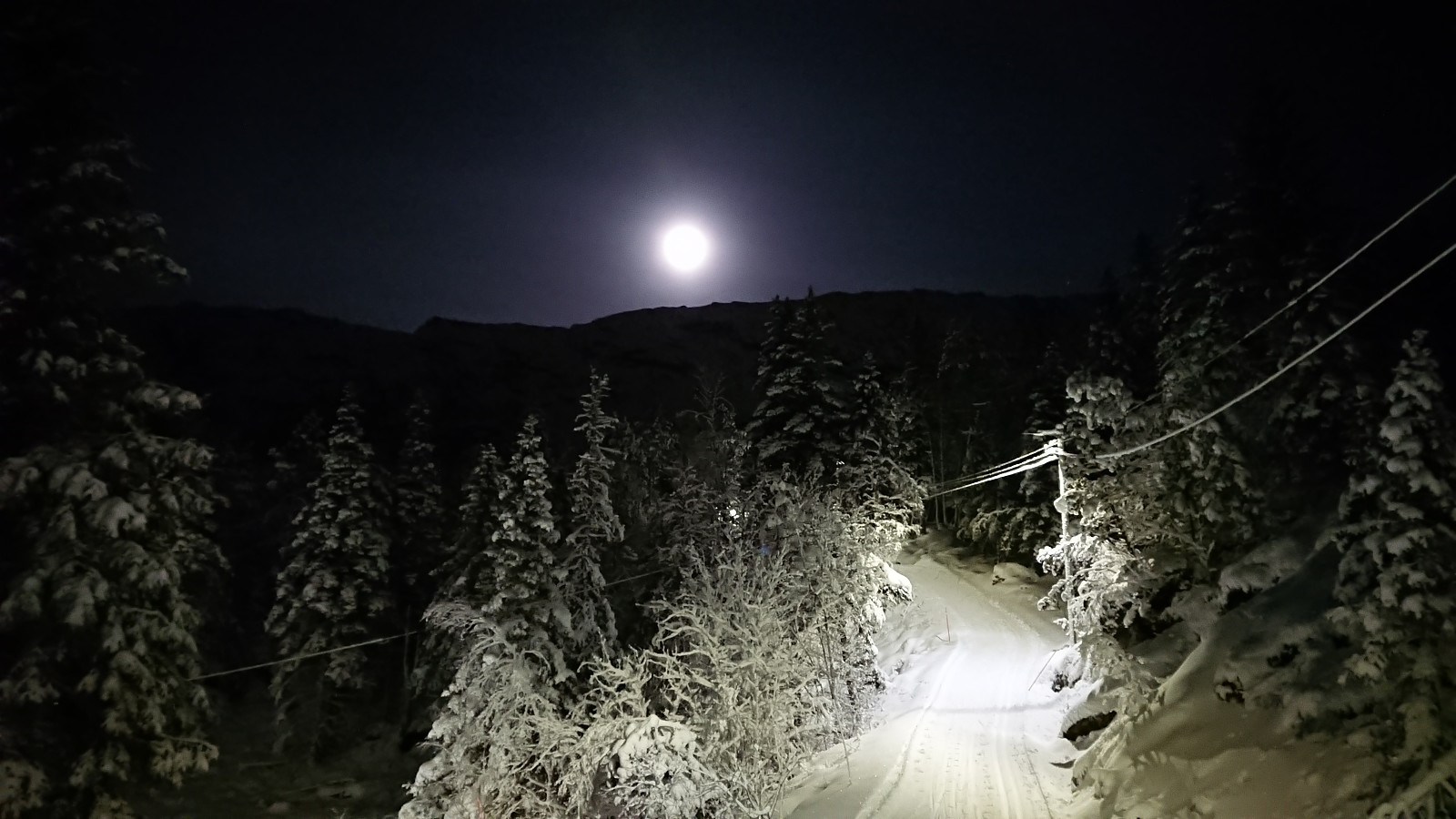 The first skiing trip of 2019! Started from the upper station of Fløibanen and spent some time in "lysløypen" under excellent skiing conditions. I then turned on my head lamp and headed for Munkebotsvatnet, making it a bit below the smaller dam under Storevatnet, before deciding it would be safest to remove the skis and continue on foot. Probably a good decision as shortly after I spotted the first small rocks peeking out through the snow, and when getting closer to Munkebotsvatnet the snow was completely replaced by ice. I put the skis back on at Hellemyrstien though, but mainly due to being tired of carrying them, as the snow conditions there were far from optimal. But I did keep them on almost all the way to the top of Øyjordsveien without any major issues.
Hellen festning and Furukammen
- Date:
- 20.01.2019
- Characteristic:
- Hike
- Duration:
- 1:27h
- Distance:
- 5.0km
 Short local hike across Hellen festning and Furukammen.
Bamsehi, Gjøken and Huldraheimen
- Date:
- 19.01.2019
- Characteristic:
- Hillwalk
- Duration:
- 5:59h
- Distance:
- 20.5km
 Started by taking the bus (or rather, bus, train and then bus again) to Lone and from there following the road to Borgo where the marked trailhead was easily located. However, shortly after leaving the last house behind the signs stopped, and given that the trail was completely covered by snow (and there were no footprints to follow), I was soon rather unsure whether I was following a trail or not. I think I was pretty close though. At least it was relatively straightforward to make progress toward Borgaskaret.
My main challenge was that it had by now started snowing quite heavily, which made for poor visibility. I decided to still make the planned detour for Bamsehi , but more or less walking from cairn to cairn in order to avoid having to refer to the GPS too frequently. After a quick visit to Bamsehi , I >>>
Started by taking the bus (or rather, bus, train and then bus again) to Lone and from there following the road to Borgo where the marked trailhead was easily located. However, shortly after leaving the last house behind the signs stopped, and given that the trail was completely covered by snow (and there were no footprints to follow), I was soon rather unsure whether I was following a trail or not. I think I was pretty close though. At least it was relatively straightforward to make progress toward Borgaskaret.
My main challenge was that it had by now started snowing quite heavily, which made for poor visibility. I decided to still make the planned detour for Bamsehi , but more or less walking from cairn to cairn in order to avoid having to refer to the GPS too frequently. After a quick visit to Bamsehi , I >>>
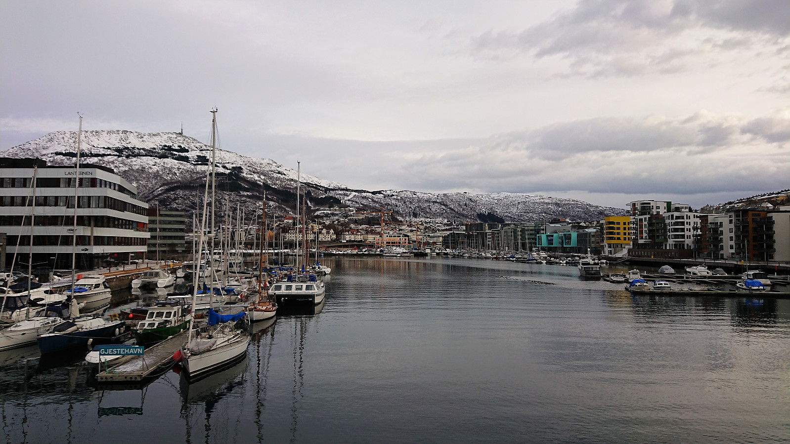
Around Store Lungegårdsvannet
- Date:
- 17.01.2019
- Characteristic:
- Walk
- Duration:
- 0:40h
- Distance:
- 3.5km
 Short walk around Store Lungegårdsvannet with a colleague during a break at work.
