Arkiv - dato
Arkiv - aktivitet
-
Annen tur (3)
- Kajakkpadling (3)
- Fottur (1897)
-
Kjøretur (9)
- Biltur (9)
-
Skitur (116)
- Fjellskitur (69)
- Langrennstur (47)
-
Sykkeltur (111)
- Blandet sykling (25)
- Gatesykling (86)
Lister jeg samler etter
-
Utvalgte topper og turmål i Bergen
(349/351)
 99%
99% -
Alle topper i Bergen
(393/400)
98%
-
Voss ≥ 100m pf.
(96/98)
97%
-
Opptur Hordaland
(144/159)
90%
-
Stasjoner på Bergensbanen
(33/40)
82%
-
Ulvik ≥ 100m pf.
(30/38)
78%
-
Hordaland ≥ 100m pf.
(624/863)
72%
-
Mjølfjell PF > 100m
(21/31)
67%
-
Jondal ≥ 100m pf.
(15/23)
65%
-
Dagsturhyttene i Vestland
(36/61)
59%
-
Sunnhordland PF >= 100m
(105/186)
56%
-
Hordaland: Hardanger PF>=100m
(196/359)
54%
-
DNT-hytter i Hordaland
(23/45)
51%
-
Kvinnherad ≥ 100m pf.
(40/79)
50%
-
Eidfjord ≥ 100m pf.
(13/42)
30%
-
Sogndal ≥ 100m pf.
(23/81)
28%
-
Gulen ≥ 100m pf.
(15/54)
27%
-
Vik i Sogn ≥ 100m pf.
(10/46)
21%
-
Sogn - Sør for Sognefjorden PF>=100m
(31/159)
19%
-
DNT-hytter i Sogn og Fjordane
(8/47)
17%

Fjellveien, Sandviksbatteriet and Ørneberget
- Dato:
- 07.10.2018
- Turtype:
- Fjelltur
- Turlengde:
- 1:45t
- Distanse:
- 7,8km
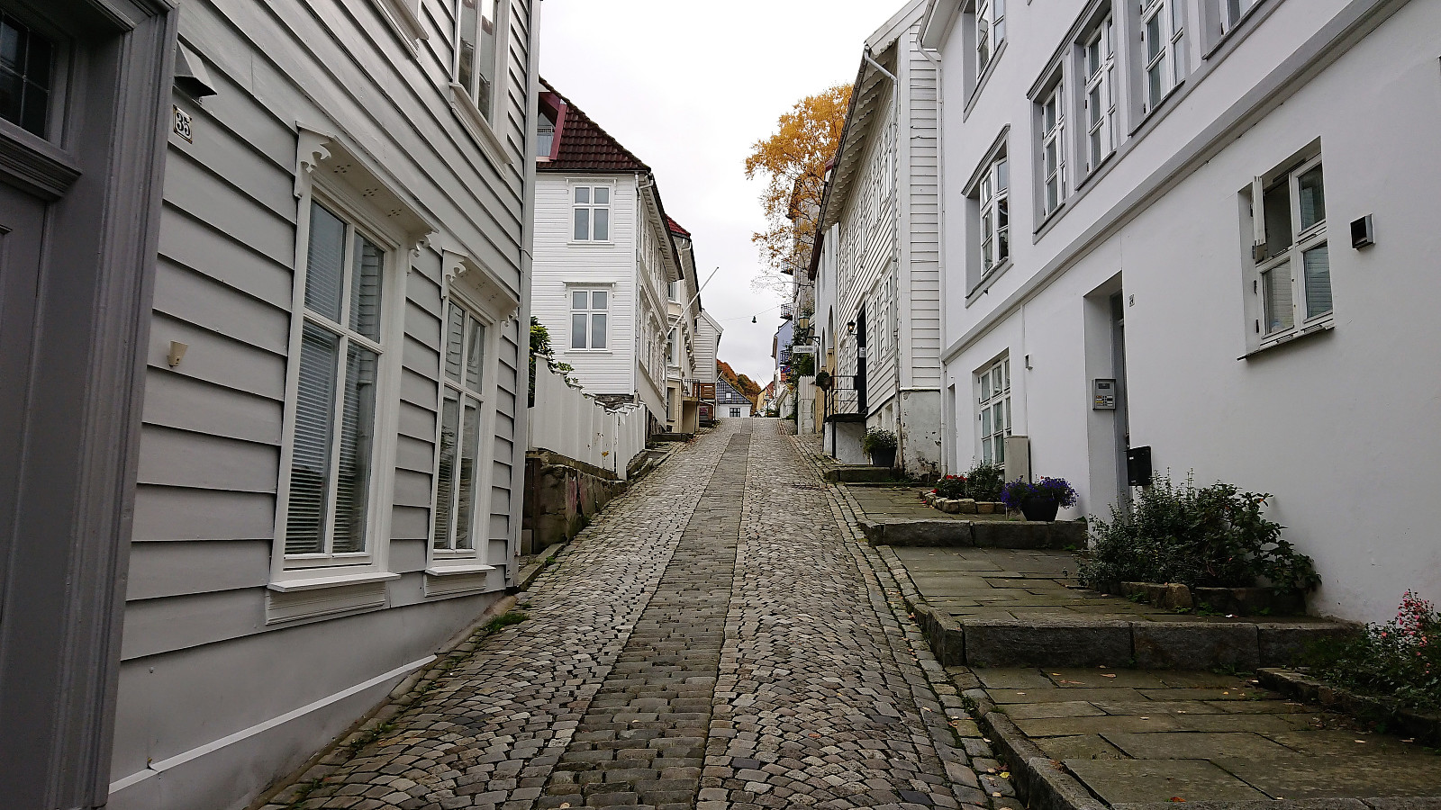 Local hike starting from Skuteviken and from there walking to Lønborg via Fjellveien, Sandviksbatteriet and Ørneberget.
Ravnefjellet and Løvstakken
- Dato:
- 06.10.2018
- Turtype:
- Fjelltur
- Turlengde:
- 2:34t
- Distanse:
- 9,0km
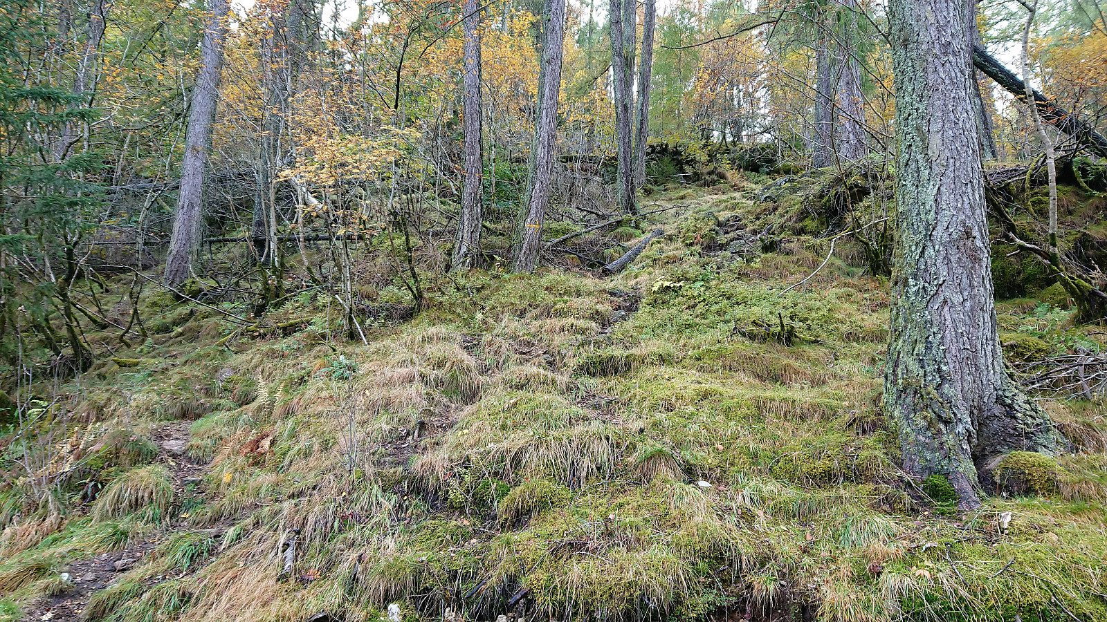 Started out as a pretty traditional hike up to Løvstakken from Melkeplassen via Ravnefjellet , but ended with a more unusual descent in order to include a visit of the trig marker on the way down to Solheim .
From the summit of Løvstakken the trail quality was relatively good, but this dropped significantly when the trail turned north and split off from the main trail that continued south and later east. Shortly after this I also lost the trail and instead headed straight for the trig marker.
On the ridge just to the west of the trig marker I however came across a weak trail that took me almost all the way to the trig marker itself, which provided nice views, but due to the low-quality trails this will probably be my only visit.
For the final descent I turned north along the trail across the ridge, which soon connected with a bigger, but rather wet, trail, >>>
Started out as a pretty traditional hike up to Løvstakken from Melkeplassen via Ravnefjellet , but ended with a more unusual descent in order to include a visit of the trig marker on the way down to Solheim .
From the summit of Løvstakken the trail quality was relatively good, but this dropped significantly when the trail turned north and split off from the main trail that continued south and later east. Shortly after this I also lost the trail and instead headed straight for the trig marker.
On the ridge just to the west of the trig marker I however came across a weak trail that took me almost all the way to the trig marker itself, which provided nice views, but due to the low-quality trails this will probably be my only visit.
For the final descent I turned north along the trail across the ridge, which soon connected with a bigger, but rather wet, trail, >>>
Fusafjellet and Bogafjellet
- Dato:
- 03.10.2018
- Turtype:
- Fjelltur
- Turlengde:
- 3:35t
- Distanse:
- 12,1km
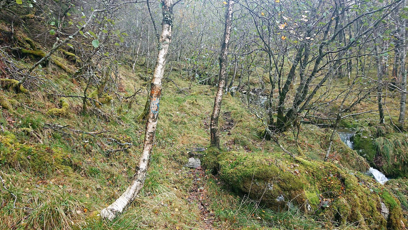 When a two-day meeting at Solstrand ended just after lunch, I used the opportunity for a hike in the Fusa region. Started by taking the bus (and ferry) across Fusafjorden and the bus stop called Prestegardsmarka. Here the map indicated the start of a rather steep trail towards the summit of Fusafjellet , and from the bus stop the ascent indeed looked very steep.
After locating the unmarked trailhead I soon came across the first sign for Lusabrekko. A second smaller sign soon followed, and from there on the trail was marked with red paint. While the trail could be fairly easily followed, it quickly turned very steep, so much that it would have been very difficult, if not impossible, to ascend without the markers.
The trail gradually got less steep after the first kilometer and from there on it was straightforward >>>
When a two-day meeting at Solstrand ended just after lunch, I used the opportunity for a hike in the Fusa region. Started by taking the bus (and ferry) across Fusafjorden and the bus stop called Prestegardsmarka. Here the map indicated the start of a rather steep trail towards the summit of Fusafjellet , and from the bus stop the ascent indeed looked very steep.
After locating the unmarked trailhead I soon came across the first sign for Lusabrekko. A second smaller sign soon followed, and from there on the trail was marked with red paint. While the trail could be fairly easily followed, it quickly turned very steep, so much that it would have been very difficult, if not impossible, to ascend without the markers.
The trail gradually got less steep after the first kilometer and from there on it was straightforward >>>
