Arkiv - dato
Arkiv - aktivitet
-
Annen tur (3)
- Kajakkpadling (3)
- Fottur (1897)
-
Kjøretur (9)
- Biltur (9)
-
Skitur (116)
- Fjellskitur (69)
- Langrennstur (47)
-
Sykkeltur (111)
- Blandet sykling (25)
- Gatesykling (86)
Lister jeg samler etter
-
Utvalgte topper og turmål i Bergen
(349/351)
 99%
99% -
Alle topper i Bergen
(393/400)
98%
-
Voss ≥ 100m pf.
(96/98)
97%
-
Opptur Hordaland
(144/159)
90%
-
Stasjoner på Bergensbanen
(33/40)
82%
-
Ulvik ≥ 100m pf.
(30/38)
78%
-
Hordaland ≥ 100m pf.
(624/863)
72%
-
Mjølfjell PF > 100m
(21/31)
67%
-
Jondal ≥ 100m pf.
(15/23)
65%
-
Dagsturhyttene i Vestland
(36/61)
59%
-
Sunnhordland PF >= 100m
(105/186)
56%
-
Hordaland: Hardanger PF>=100m
(196/359)
54%
-
DNT-hytter i Hordaland
(23/45)
51%
-
Kvinnherad ≥ 100m pf.
(40/79)
50%
-
Eidfjord ≥ 100m pf.
(13/42)
30%
-
Sogndal ≥ 100m pf.
(23/81)
28%
-
Gulen ≥ 100m pf.
(15/54)
27%
-
Vik i Sogn ≥ 100m pf.
(10/46)
21%
-
Sogn - Sør for Sognefjorden PF>=100m
(31/159)
19%
-
DNT-hytter i Sogn og Fjordane
(8/47)
17%

Sandvikshytten via Brennhaugen
- Dato:
- 29.10.2018
- Turtype:
- Fjelltur
- Turlengde:
- 2:45t
- Distanse:
- 9,6km
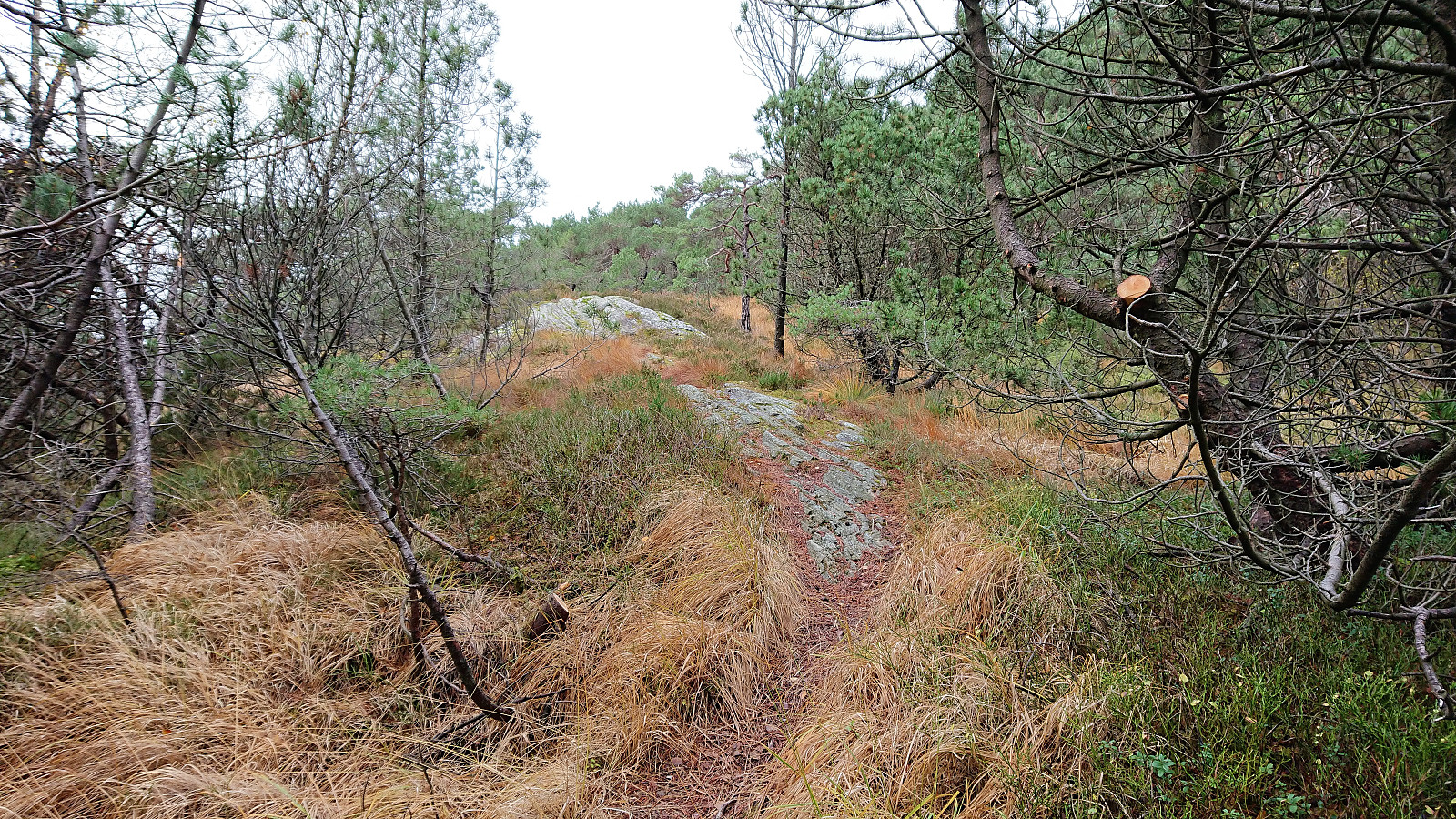
 Local hike checking out a trail splitting off from the new trail I had recently discovered on the eastern side of Munkebotsvatnet . I was hoping for an alternative route to Ankerhytten or Sandvikshytten . But instead the trail quickly split again and turned into weak deer tracks. With a bit of light climbing I still managed to make my way to Sandvikshytten via Brennhaugen, but not a route I can recommend or am likely to repeat.
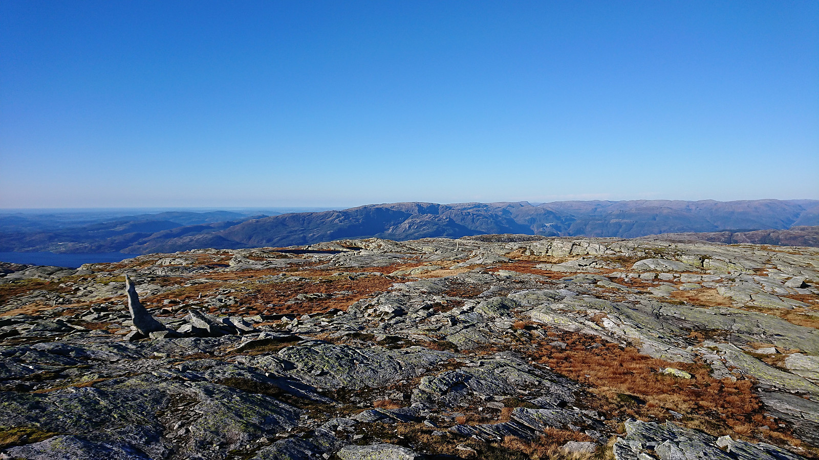
Stanghelle to Dale via Storafjellet and Hestafjellet
- Dato:
- 28.10.2018
- Turtype:
- Fjelltur
- Turlengde:
- 7:24t
- Distanse:
- 17,4km
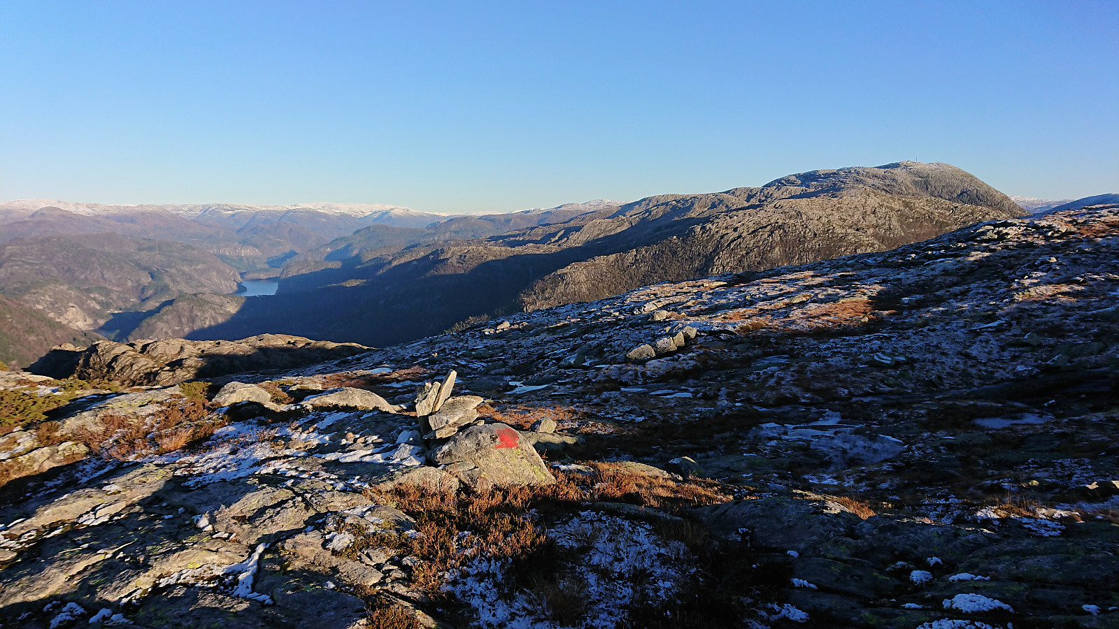 Started by taking the train to Stanghelle and from there easily locating the marked trailhead at Åslia. The trail, which even included a couple of staircases, was easy to follow and we soon arrived at Stutto and the first good views towards Storafjellet . Stutto had its own visitor register and also provided a good view towards Hikletten .
We continued along the marked trail in the direction of Kalddalen and Kalddalselva, but as we got close to the river we lost the trail and instead had to make our own way until reconnecting with the trail shortly after crossing the river. From there on it was straightforward to follow the trail all the way to Storafjellet. The views from Storafjellet were spectacular and clearly worth a visit!
After a quick visit to the smaller cairn at the highest point, we returned to the crossroads >>>
Started by taking the train to Stanghelle and from there easily locating the marked trailhead at Åslia. The trail, which even included a couple of staircases, was easy to follow and we soon arrived at Stutto and the first good views towards Storafjellet . Stutto had its own visitor register and also provided a good view towards Hikletten .
We continued along the marked trail in the direction of Kalddalen and Kalddalselva, but as we got close to the river we lost the trail and instead had to make our own way until reconnecting with the trail shortly after crossing the river. From there on it was straightforward to follow the trail all the way to Storafjellet. The views from Storafjellet were spectacular and clearly worth a visit!
After a quick visit to the smaller cairn at the highest point, we returned to the crossroads >>>
Hellen festning and Furukammen
- Dato:
- 25.10.2018
- Turtype:
- Fottur
- Turlengde:
- 1:07t
- Distanse:
- 4,9km
 Short local hike after work.
Hellen festning and Furukammen
- Dato:
- 21.10.2018
- Turtype:
- Fottur
- Turlengde:
- 1:17t
- Distanse:
- 5,4km
 Another rainy Sunday, another short local hike.
Lone to Lønborg
- Dato:
- 20.10.2018
- Turtype:
- Fjelltur
- Turlengde:
- 5:33t
- Distanse:
- 20,8km
 Started by taking the train and bus to Lone and from there walking up to Haugo where I spotted the first signs for Ulriken . Leaving the houses behind I then followed the gravel road south until locating the marked trailhead. The trail was of better quality than expected, with only a couple of wet areas. Shortly after passing by Haukelandsvarden , the trail forked and I chose the option heading to Hauggjelsvarden .
After a quick detour to the highest point at Byfjellene , I returned to Hauggjelsvarden and from there followed the weak trail northwest. This trail disappeared before connecting with the main trail across Vidden, but it is not very difficult to locate the main trail anyway, at least not when the visibility is good.
At this point it started raining lightly and the wind also picked up a bit, but luckily the wind was coming from behind until I turned west >>>
Started by taking the train and bus to Lone and from there walking up to Haugo where I spotted the first signs for Ulriken . Leaving the houses behind I then followed the gravel road south until locating the marked trailhead. The trail was of better quality than expected, with only a couple of wet areas. Shortly after passing by Haukelandsvarden , the trail forked and I chose the option heading to Hauggjelsvarden .
After a quick detour to the highest point at Byfjellene , I returned to Hauggjelsvarden and from there followed the weak trail northwest. This trail disappeared before connecting with the main trail across Vidden, but it is not very difficult to locate the main trail anyway, at least not when the visibility is good.
At this point it started raining lightly and the wind also picked up a bit, but luckily the wind was coming from behind until I turned west >>>
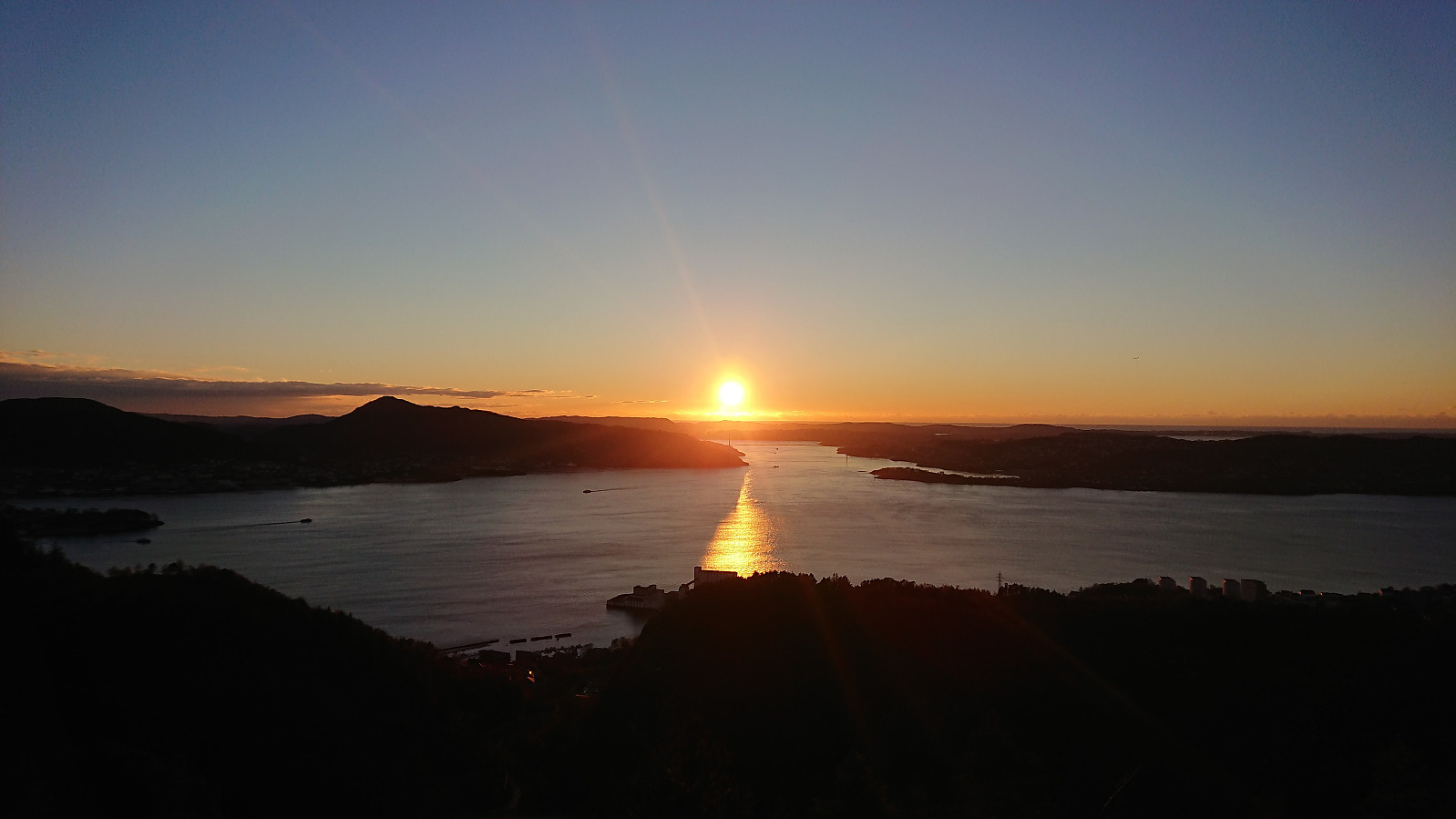
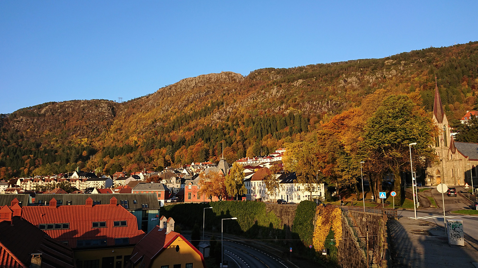
Fjellveien, Gamle Bergen and Hellen festning
- Dato:
- 18.10.2018
- Turtype:
- Fottur
- Turlengde:
- 1:39t
- Distanse:
- 9,2km
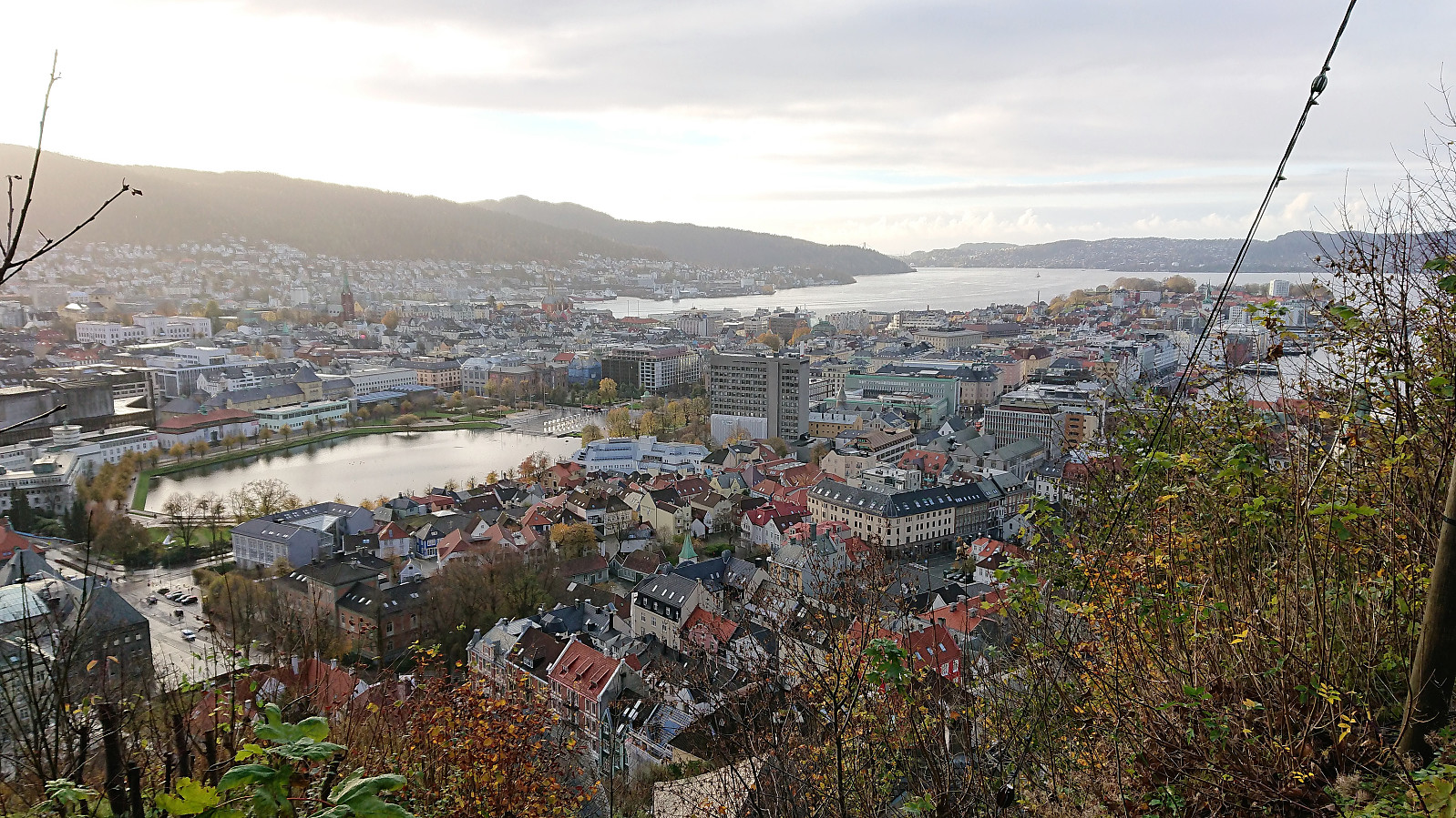 Short hike after work from Bradbenken via Fjellveien and Gamle Bergen.
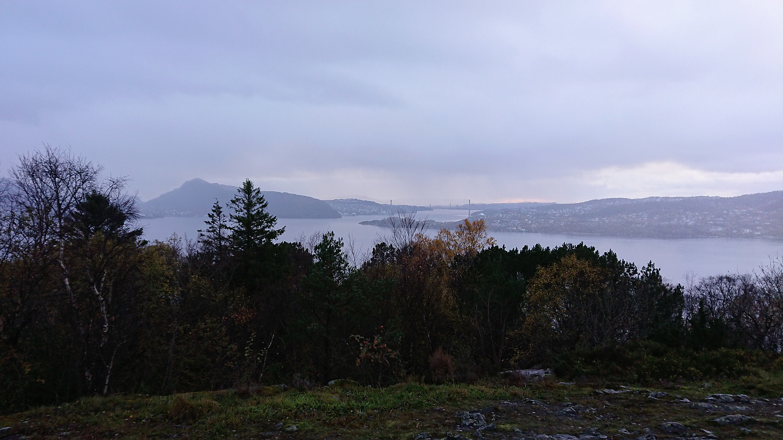
Fagerneset and Hellen festning
- Dato:
- 14.10.2018
- Turtype:
- Fottur
- Turlengde:
- 0:54t
- Distanse:
- 5,2km
 Short local hike in slightly less heavy rain than yesterday but now with stronger winds instead.
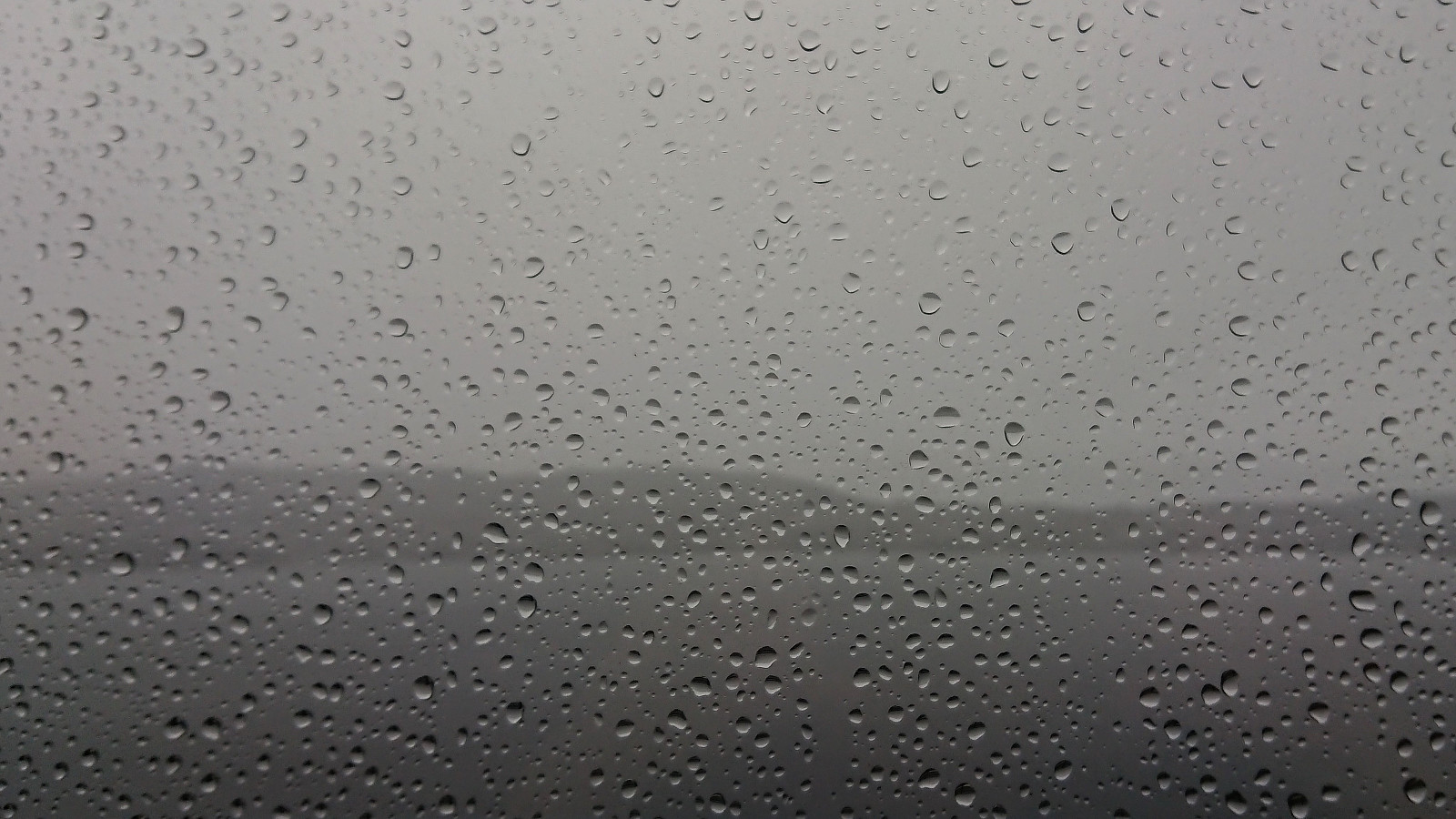
Fjellveien and Furukammen
- Dato:
- 13.10.2018
- Turtype:
- Fottur
- Turlengde:
- 1:09t
- Distanse:
- 6,3km
 Short local hike in constant heavy rain.
Høgafjellet from Osvatnet
- Dato:
- 11.10.2018
- Turtype:
- Fjelltur
- Turlengde:
- 7:30t
- Distanse:
- 16,9km
 On what would turn out as the warmest October day in Bergen history, me and a colleague of mine started out early in the direction of Osterøy and Høgafjellet . The parking lot at Osvatnet was easily located and so was the marked trailhead starting with a steep staircase directly behind the parking lot. Next, the trail crossed under the pipe, and the old steep discontinued stairs, coming down from Nedre Botnavatnet.
Shortly after, a second steep staircase headed up to the right, while the marked trail continued toward Kupelva. We decided to follow the red plastic markers, assuming these indicated the recommended route. This however turned out to be a mistake, and after almost reaching the river we ended up turning back and returning to the stairs. Apparently we were not the first hikers to make this mistake ( https://peakbook.org/tour/192269/Kvamsfjellet+Osterøy.html ), so perhaps a sign >>>
On what would turn out as the warmest October day in Bergen history, me and a colleague of mine started out early in the direction of Osterøy and Høgafjellet . The parking lot at Osvatnet was easily located and so was the marked trailhead starting with a steep staircase directly behind the parking lot. Next, the trail crossed under the pipe, and the old steep discontinued stairs, coming down from Nedre Botnavatnet.
Shortly after, a second steep staircase headed up to the right, while the marked trail continued toward Kupelva. We decided to follow the red plastic markers, assuming these indicated the recommended route. This however turned out to be a mistake, and after almost reaching the river we ended up turning back and returning to the stairs. Apparently we were not the first hikers to make this mistake ( https://peakbook.org/tour/192269/Kvamsfjellet+Osterøy.html ), so perhaps a sign >>>
Haukeland sykehus to Sandvikstorget
- Dato:
- 10.10.2018
- Turtype:
- Spasertur
- Turlengde:
- 0:57t
- Distanse:
- 5,4km
 Nice afternoon weather for once, so I decided to walk home from work. Or at least in that direction. Making it to Sandvikstorget before taking the bus the rest of the way.
