Archive - Date
Archive - Activity
-
Bike trip (111)
- Bike trip - mixed (25)
- Bike trip - road (86)
-
Drive (9)
- Car drive (9)
-
Other trip (3)
- Kayaking (3)
-
Ski trip (116)
- Backcountry skiing (69)
- Cross-country skiing (47)
- Trip by foot (1897)
Collected lists
-
Utvalgte topper og turmål i Bergen
(349/351)
 99%
99% -
Alle topper i Bergen
(393/400)
98%
-
Voss ≥ 100m pf.
(96/98)
97%
-
Opptur Hordaland
(144/159)
90%
-
Stasjoner på Bergensbanen
(33/40)
82%
-
Ulvik ≥ 100m pf.
(30/38)
78%
-
Hordaland ≥ 100m pf.
(624/863)
72%
-
Mjølfjell PF > 100m
(21/31)
67%
-
Jondal ≥ 100m pf.
(15/23)
65%
-
Dagsturhyttene i Vestland
(36/61)
59%
-
Sunnhordland PF >= 100m
(105/186)
56%
-
Hordaland: Hardanger PF>=100m
(196/359)
54%
-
DNT-hytter i Hordaland
(23/45)
51%
-
Kvinnherad ≥ 100m pf.
(40/79)
50%
-
Eidfjord ≥ 100m pf.
(13/42)
30%
-
Sogndal ≥ 100m pf.
(23/81)
28%
-
Gulen ≥ 100m pf.
(15/54)
27%
-
Vik i Sogn ≥ 100m pf.
(10/46)
21%
-
Sogn - Sør for Sognefjorden PF>=100m
(31/159)
19%
-
DNT-hytter i Sogn og Fjordane
(8/47)
17%

Dyranutane
- Date:
- 20.07.2018
- Characteristic:
- Hillwalk
- Duration:
- 0:41h
- Distance:
- 3.5km
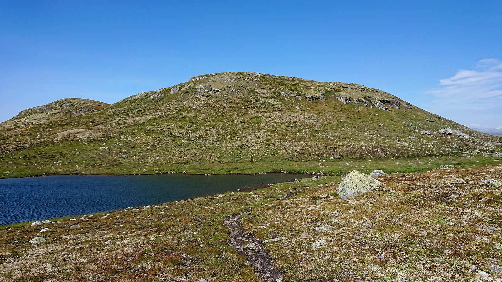 Quick visit to Dyranutane while the rest of my party was taking a break at Dyranut . Started by following the marked trail northeast, but soon realized it was not heading for the summit. I therefore left the trail and easily made my own way to the cairn indicating the highest point at Dyranutane. Excellent views, especially towards Hardangerjøkulen . On the return I decided on a more direct route south to reconnect with the trail and soon found myself back at the car. A nice short hike for those wanting a break while driving across Hardangervidden.
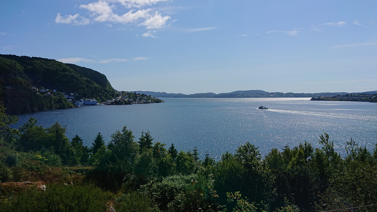
Vøringsfossen and Sysendammen
- Date:
- 20.07.2018
- Characteristic:
- Car drive
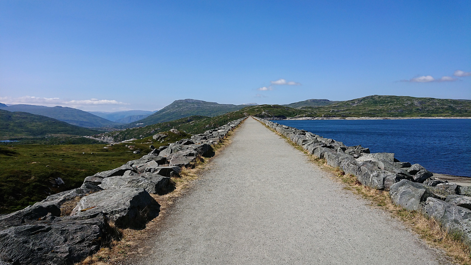 Short stops at Vøringsfossen and Sysendammen on the way to Haugastøl. We used the new platforms outside Fossli Hotell that provided much better (and safer) views towards the waterfall. Much better views compared to my previous visit on the west side of the river. Sysendammen was also a positive surprise, with excellent views towards Hardangerjøkulen . Well worth a visit.
Genome Campus Roundtrip
- Date:
- 17.07.2018
- Characteristic:
- Walk
- Distance:
- 4.7km
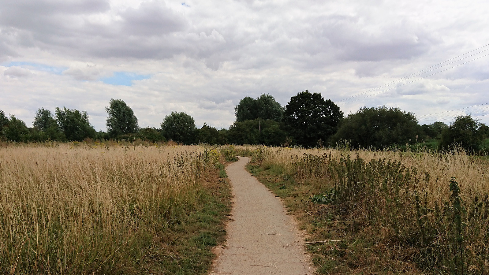 Short walk around the Genome Campus in Hinxton during a break when teaching at the European Bioinformatics Institute.
Fløyfjellet from Skredderdalen
- Date:
- 14.07.2018
- Characteristic:
- Hillwalk
- Duration:
- 2:02h
- Distance:
- 6.5km
 Short local hike with an alternative steep route to Fløyfjellet from Skredderdalen. After quick visits of both Fløyfjellet and Fløyvarden , I followed a similiar steep and unusual route back down to Fjellveien. Note that while all of this hike follows trails, there are some steeper sections that require some very light scrambling.
Cycling: Salhus Roundtrip
- Date:
- 12.07.2018
- Characteristic:
- Bike trip - road
- Duration:
- 3:25h
- Distance:
- 43.1km
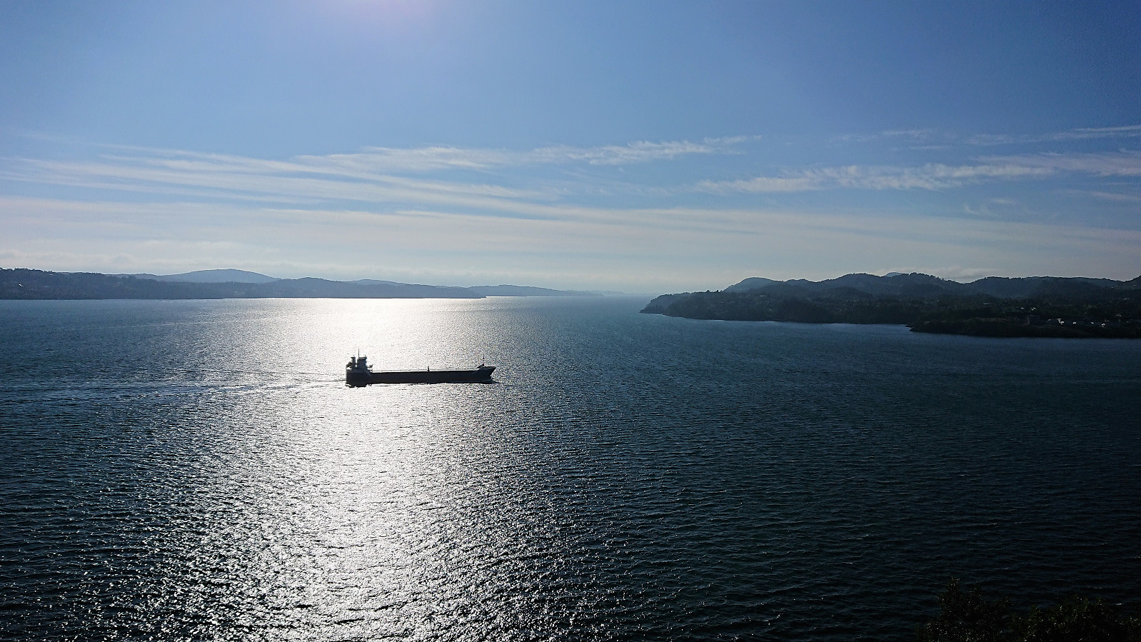 The usual cycling trip around Salhus. This time with a colleague and with an added detour via Langevatnet and Munkebotn.
Tveitakvitingen and Høganova
- Date:
- 10.07.2018
- Characteristic:
- Hillwalk
- Duration:
- 6:35h
- Distance:
- 23.0km
 Såta, Gråskorvenuten and Gråfjellet
Started by taking the bus to Furedalen and from there following the gravel road, and later trail, south. Made quick visits to Såta , Gråskorvenuten and Gråfjellet before starting my final ascent towards Tveitakvitingen .
Tveitakvitingen
Until this point the trail was easy to follow (with the exception of the lack of trails to/from Gråskorvenuten and Gråfjellet), but while there were markers (red painted dots and arrows) for the last stretch towards Tveitakvitingen as well, these were frequently hidden beneath the snow and thus knowing exactly where the trail was supposed to be was a bit more difficult. The summit provided excellent 360 degrees views, but is more of a highest point at a large plateau than a single peak, which was a bit disappointing.
Høganova
From the summit I returned more or less >>>
Såta, Gråskorvenuten and Gråfjellet
Started by taking the bus to Furedalen and from there following the gravel road, and later trail, south. Made quick visits to Såta , Gråskorvenuten and Gråfjellet before starting my final ascent towards Tveitakvitingen .
Tveitakvitingen
Until this point the trail was easy to follow (with the exception of the lack of trails to/from Gråskorvenuten and Gråfjellet), but while there were markers (red painted dots and arrows) for the last stretch towards Tveitakvitingen as well, these were frequently hidden beneath the snow and thus knowing exactly where the trail was supposed to be was a bit more difficult. The summit provided excellent 360 degrees views, but is more of a highest point at a large plateau than a single peak, which was a bit disappointing.
Høganova
From the summit I returned more or less >>>
Hellen festning and Furukammen
- Date:
- 08.07.2018
- Characteristic:
- Hike
- Duration:
- 1:08h
- Distance:
- 4.9km
 Short local hike across Hellen festning and Furukammen.
Bukkaberget
- Date:
- 07.07.2018
- Characteristic:
- Hillwalk
- Duration:
- 1:02h
- Distance:
- 3.8km
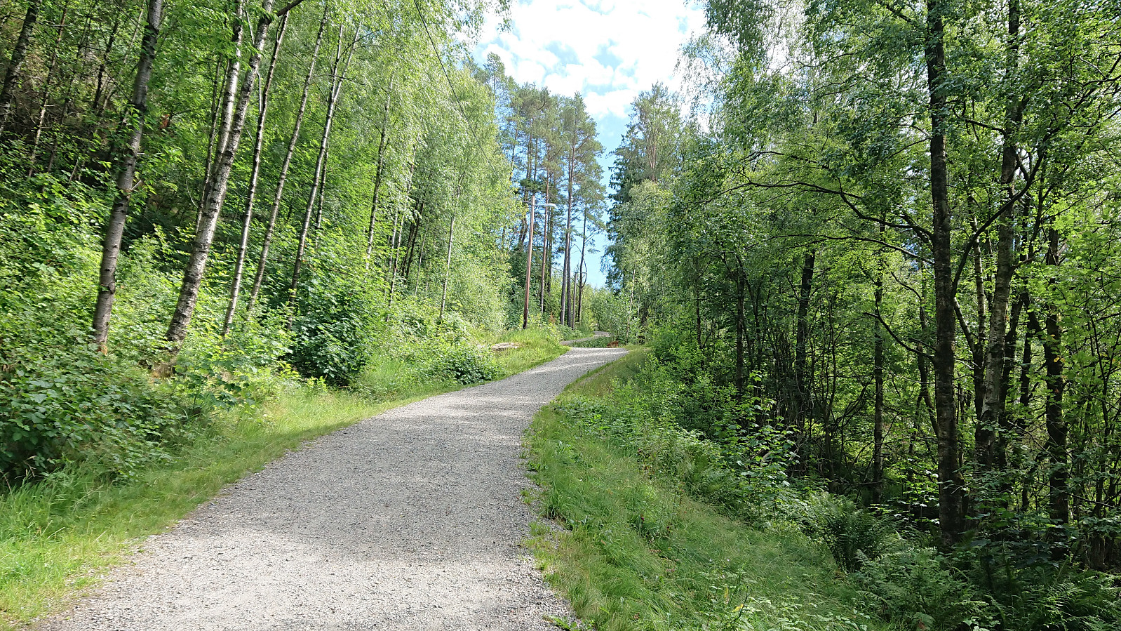
 Given that Bukkaberget was not very easily accessible via public transport, I decided to instead use my bicycle. This made for a rather long transportation stage before the hiking could begin, but also resulted in a very nice cycling trip that is recorded in a separate report: Cycling: Bukkaberget .
Arriving on bike made it easier to look for alternative trailheads, as none of the reports I'd seen so far indicated a trail to the summit, although several mentioned coming across a trail at the summit area. After rejecting the first trail-like options, I came across what looked like a very promising starting point: an old tractor road heading towards Tveitavatnet just north of the Bukkaberget (also indicated on the map).
After finding a place to leave my bike, I started up the trail which shortly split: east towards Tveitavatnet >>>
Given that Bukkaberget was not very easily accessible via public transport, I decided to instead use my bicycle. This made for a rather long transportation stage before the hiking could begin, but also resulted in a very nice cycling trip that is recorded in a separate report: Cycling: Bukkaberget .
Arriving on bike made it easier to look for alternative trailheads, as none of the reports I'd seen so far indicated a trail to the summit, although several mentioned coming across a trail at the summit area. After rejecting the first trail-like options, I came across what looked like a very promising starting point: an old tractor road heading towards Tveitavatnet just north of the Bukkaberget (also indicated on the map).
After finding a place to leave my bike, I started up the trail which shortly split: east towards Tveitavatnet >>>
Cycling: Bukkaberget
- Date:
- 07.07.2018
- Characteristic:
- Bike trip - road
- Duration:
- 6:50h
- Distance:
- 77.5km
 Cycling from Lønborg to the trailhead for Bukkaberget and back. The hike across Bukkaberget is recorded in a separate report: Bukkaberget . Overall a very nice trip that for the most part was either on separate cycling/walking paths or along roads with limited traffic.
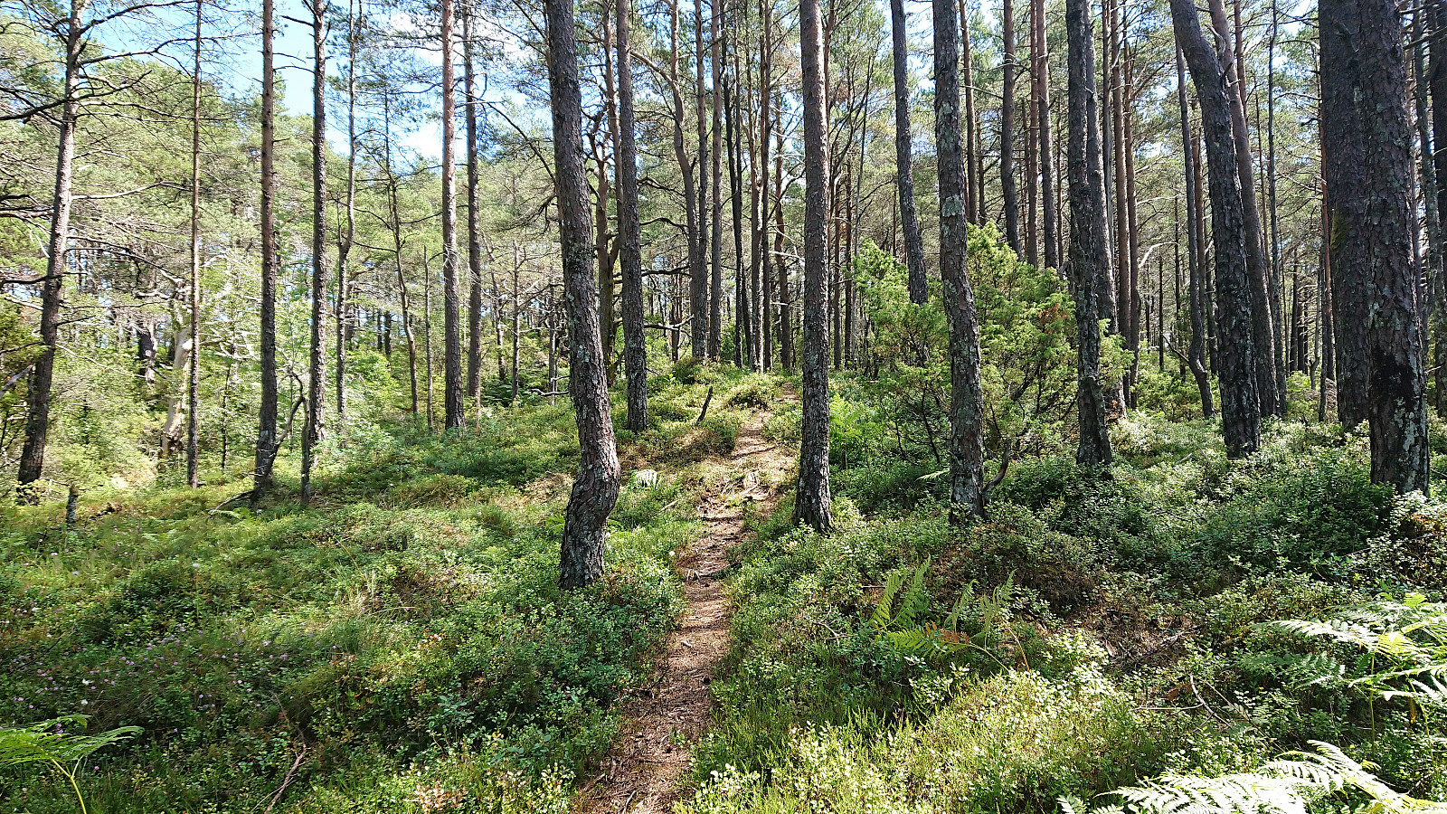
Jerfjellet
- Date:
- 04.07.2018
- Characteristic:
- Hillwalk
- Duration:
- 4:02h
- Distance:
- 17.2km
 Started by taking the bus to Furuberg and from there following the road alongside Storavatnet until reaching the marked trailhead. Did not think this first part would be very interesting, but turned out nicer than expected with great views along the way, and next to no traffic.
The gravel road indicating the start of the trail soon changed into a tractor road before turning into a trail marked with yellow plastic ribbons. But in the beginning it was not always easy to locate neither the trail nor the ribbons. This greatly improved as soon as the trail started its rather steep ascent, and from there on the trail was easy to follow, although a bit weak at times.
Upon reaching the northwestern tip of the ridge, there was a marked viewpoint with nice views towards the north. The marked trail continued southeast >>>
Started by taking the bus to Furuberg and from there following the road alongside Storavatnet until reaching the marked trailhead. Did not think this first part would be very interesting, but turned out nicer than expected with great views along the way, and next to no traffic.
The gravel road indicating the start of the trail soon changed into a tractor road before turning into a trail marked with yellow plastic ribbons. But in the beginning it was not always easy to locate neither the trail nor the ribbons. This greatly improved as soon as the trail started its rather steep ascent, and from there on the trail was easy to follow, although a bit weak at times.
Upon reaching the northwestern tip of the ridge, there was a marked viewpoint with nice views towards the north. The marked trail continued southeast >>>
