Archiv - Nach Datum
Archiv - Nach Aktivität
-
Andere Tour (3)
- Kayaking (3)
-
Fahrradtour (111)
- Fahrradtour Straße (86)
- Fahrradtour gemischt (25)
-
Fahrzeugtour (9)
- Autotour (9)
-
Fußtour (1897)
- Bergtour (1120)
- Jogging (1)
- Spaziergang (60)
- Wanderung (716)
-
Skitour (116)
- Langlauf (47)
- Tourenskilauf (69)
Gesammelte Listen
-
Utvalgte topper og turmål i Bergen
(349/351)
 99%
99% -
Alle topper i Bergen
(393/400)
98%
-
Voss ≥ 100m pf.
(96/98)
97%
-
Opptur Hordaland
(144/159)
90%
-
Stasjoner på Bergensbanen
(33/40)
82%
-
Ulvik ≥ 100m pf.
(30/38)
78%
-
Hordaland ≥ 100m pf.
(624/863)
72%
-
Mjølfjell PF > 100m
(21/31)
67%
-
Jondal ≥ 100m pf.
(15/23)
65%
-
Dagsturhyttene i Vestland
(36/61)
59%
-
Sunnhordland PF >= 100m
(105/186)
56%
-
Hordaland: Hardanger PF>=100m
(196/359)
54%
-
DNT-hytter i Hordaland
(23/45)
51%
-
Kvinnherad ≥ 100m pf.
(40/79)
50%
-
Eidfjord ≥ 100m pf.
(13/42)
30%
-
Sogndal ≥ 100m pf.
(23/81)
28%
-
Gulen ≥ 100m pf.
(15/54)
27%
-
Vik i Sogn ≥ 100m pf.
(10/46)
21%
-
Sogn - Sør for Sognefjorden PF>=100m
(31/159)
19%
-
DNT-hytter i Sogn og Fjordane
(8/47)
17%

Across Hellen festning
- Datum:
- 30.06.2018
- Tourcharakter:
- Wanderung
- Tourlänge:
- 0:34h
- Entfernung:
- 3,1km
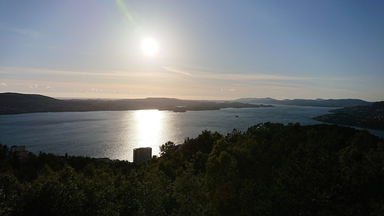
 Short local hike across Hellen festning.
Algrøyna: Idlefjell and Sandeie
- Datum:
- 29.06.2018
- Tourcharakter:
- Bergtour
- Tourlänge:
- 6:17h
- Entfernung:
- 13,4km
 We started by taking the bus to Algrøyna and Storevegen (also the name of the bus stop). By following Storevegen we quickly arrived at the trailhead and the start of the marked trails. We decided on the blue trail, starting out as a narrow gravel road, before changing into a trail upon reaching Vågsvatnet.
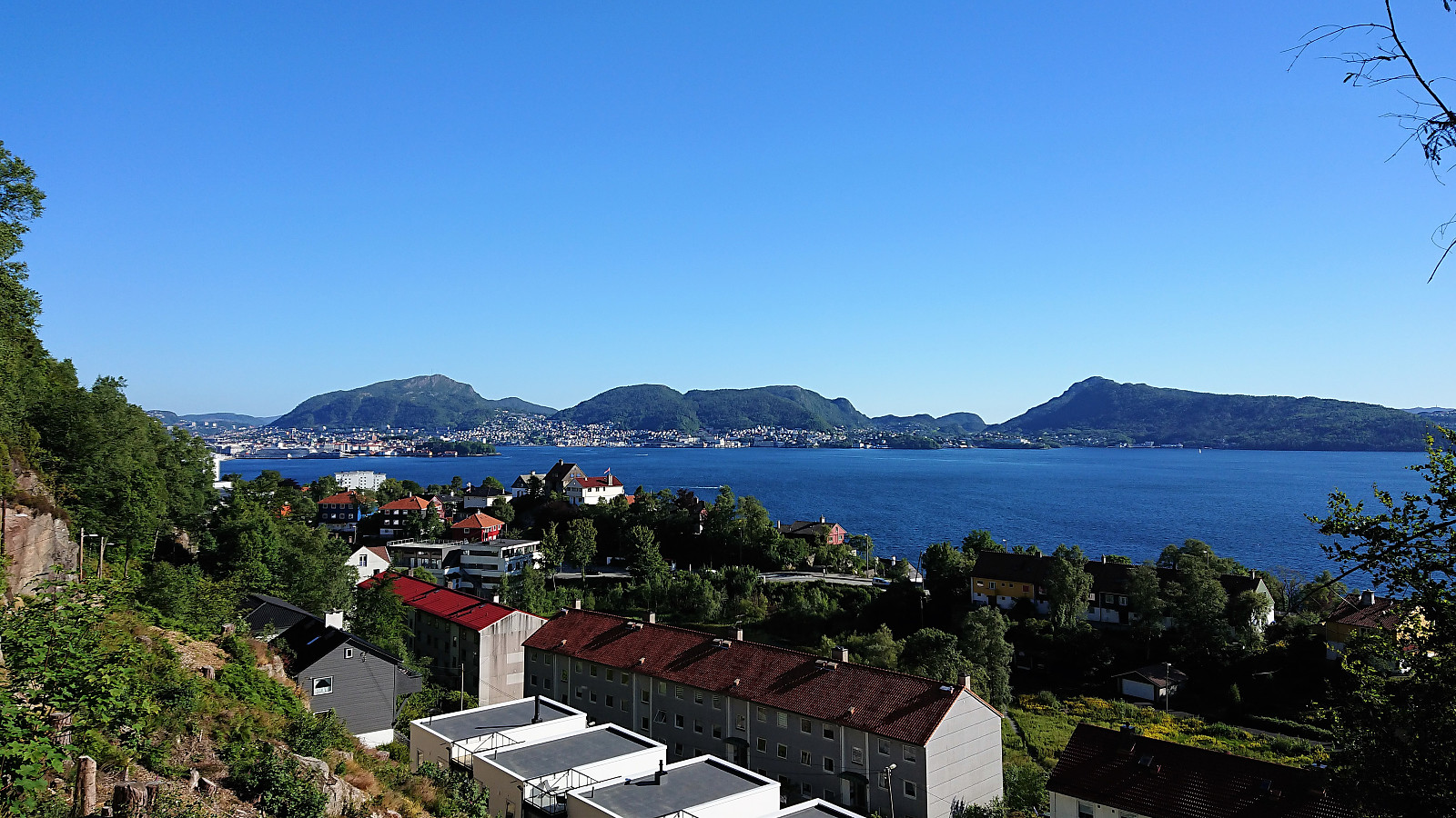
The nice marked trail, including multiple well-made bridges, could be easily followed and we soon arrived at Idlefjell (called Hillefjelllet on the map), for spectacular views, especially towards the sea, but also in all other directions. After signing the visitor register, we continued towards Sandeie /Sandeidneset. Still along a marked trail, but of more variable quality, with some sections that are probably relatively wet in less dry periods.
Sandeie turned out to be a very interesting location, with a >>>
We started by taking the bus to Algrøyna and Storevegen (also the name of the bus stop). By following Storevegen we quickly arrived at the trailhead and the start of the marked trails. We decided on the blue trail, starting out as a narrow gravel road, before changing into a trail upon reaching Vågsvatnet.
The nice marked trail, including multiple well-made bridges, could be easily followed and we soon arrived at Idlefjell (called Hillefjelllet on the map), for spectacular views, especially towards the sea, but also in all other directions. After signing the visitor register, we continued towards Sandeie /Sandeidneset. Still along a marked trail, but of more variable quality, with some sections that are probably relatively wet in less dry periods.
Sandeie turned out to be a very interesting location, with a >>>
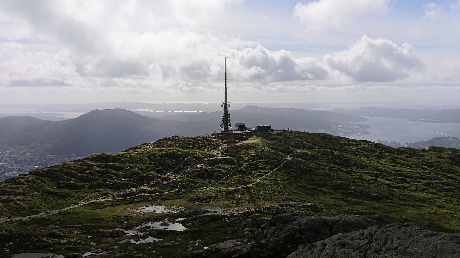
Ulriken
- Datum:
- 27.06.2018
- Tourcharakter:
- Bergtour
- Tourlänge:
- 1:46h
- Entfernung:
- 7,1km
 Given that my last attempt in the competition at work for the fastest time from the parking lot at Montana to the upper station of Ulriksbanen failed due to making a wrong turn, I had to make another attempt. The goal was to get there in under 25 minutes, which I did with just three seconds to spare: 24 minutes and 57 seconds. For the return I followed the longer route via Landåseggen.
Sollikammen, Totlandsfjellet and Håkonshaugen
- Datum:
- 23.06.2018
- Tourcharakter:
- Bergtour
- Tourlänge:
- 4:25h
- Entfernung:
- 17,6km
 Sollikammen
Started by taking the bus to Furuberg and in the light rain walking along the main road towards the start of the tractor road for Sollikammen . No sidewalk, but a pretty straight road with good overview of any cars coming my way. As I reached the gravel road taking off northwest along Rydlandsvågen I crossed the road and located the tractor road going southeast along Storavatnet. Clearly not very heavily used, but it did make it straightforward to arrive at the trailhead for Sollikammen, just where the tractor road turned northeast.
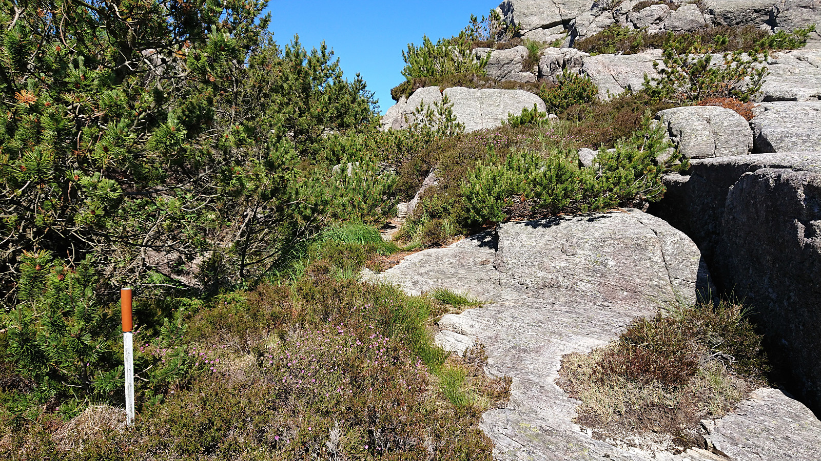
The trailhead was unmarked, but easy to locate if one knows where to look for it. The trail itself was marked with the odd white plastic marker, but far from frequently enough to be of any real use. At the start the trail was easy to follow, but upon reaching the >>>
Sollikammen
Started by taking the bus to Furuberg and in the light rain walking along the main road towards the start of the tractor road for Sollikammen . No sidewalk, but a pretty straight road with good overview of any cars coming my way. As I reached the gravel road taking off northwest along Rydlandsvågen I crossed the road and located the tractor road going southeast along Storavatnet. Clearly not very heavily used, but it did make it straightforward to arrive at the trailhead for Sollikammen, just where the tractor road turned northeast.
The trailhead was unmarked, but easy to locate if one knows where to look for it. The trail itself was marked with the odd white plastic marker, but far from frequently enough to be of any real use. At the start the trail was easy to follow, but upon reaching the >>>
Ulriken
- Datum:
- 22.06.2018
- Tourcharakter:
- Bergtour
- Tourlänge:
- 1:53h
- Entfernung:
- 6,8km
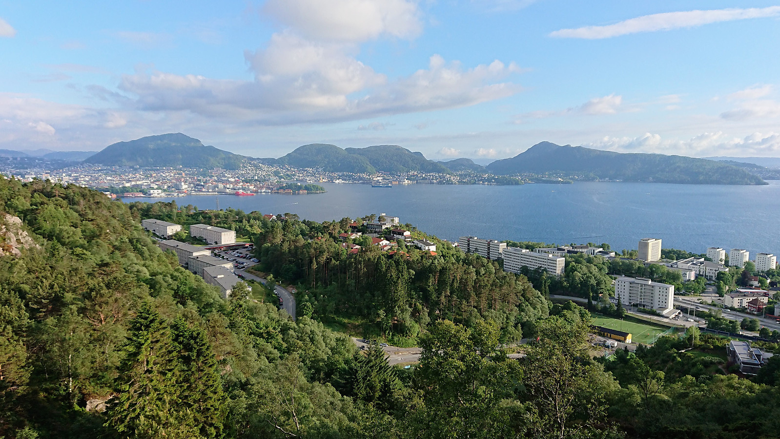
 Quick hike to Ulriken as part of a competition at work for the fastest time from Montana to the upper station of Ulriksbanen. However, I managed to make wrong turn halfway and ended up on the old trail instead of the agreed upon new stone steps. Realizing that my time would not be valid, I lost most of my motivation and slowed down before reaching the top, ending up at 26 minutes and 43 seconds. After a short break I made a detour to the actual summit of Ulriken, before returning back down to Montana. Not the most interesting hike now what one can follow stone steps almost all the way to the upper station of Ulriksbanen. Feels more like a workout than hiking...
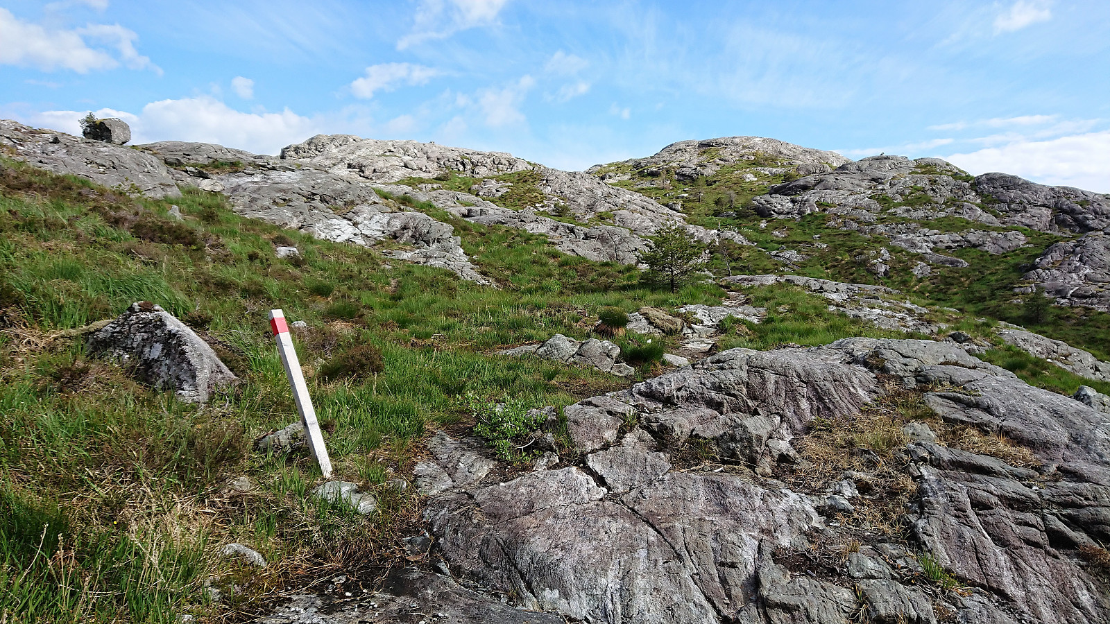
Ørneberget
- Datum:
- 17.06.2018
- Tourcharakter:
- Bergtour
- Tourlänge:
- 1:43h
- Entfernung:
- 6,1km
 Short local evening hike across Ørneberget.
Skjelanger to Fløksand
- Datum:
- 16.06.2018
- Tourcharakter:
- Bergtour
- Tourlänge:
- 4:57h
- Entfernung:
- 18,0km
 I was lucky enough to hitch a ride to Skjelanger (which is not very accessible by bus) and was dropped off at one of the three main starting points for hiking to Storafjellet . Like the other two, this starting point also had the information sign and a marked trailhead, and included a small parking lot with room for a couple of cars.
However, while the trailhead was marked, the start of the trail was not very clear as it crossed a field. This soon improved, but shortly afterwards I made a wrong turn by continuing through a gate instead of turning left. I quickly corrected the mistake, but the signs could be better here.
From there on the trail was easy to follow, although rather wet at times, until reaching the summit of Storafjellet, which provided excellent views in all directions. Probably one of the best views one can obtain >>>
I was lucky enough to hitch a ride to Skjelanger (which is not very accessible by bus) and was dropped off at one of the three main starting points for hiking to Storafjellet . Like the other two, this starting point also had the information sign and a marked trailhead, and included a small parking lot with room for a couple of cars.
However, while the trailhead was marked, the start of the trail was not very clear as it crossed a field. This soon improved, but shortly afterwards I made a wrong turn by continuing through a gate instead of turning left. I quickly corrected the mistake, but the signs could be better here.
From there on the trail was easy to follow, although rather wet at times, until reaching the summit of Storafjellet, which provided excellent views in all directions. Probably one of the best views one can obtain >>>
Cycling: Hauglandsdalen
- Datum:
- 13.06.2018
- Tourcharakter:
- Fahrradtour Straße
- Tourlänge:
- 5:36h
- Entfernung:
- 71,7km
 Cycling up Hauglandsdalen with a colleague, passing by Bontveit and Totland on the way back to the city center via the gravel road made for skiing. Highly recommended!
Ørneberget and Ørneberget NV
- Datum:
- 12.06.2018
- Tourcharakter:
- Bergtour
- Tourlänge:
- 1:27h
- Entfernung:
- 4,8km
 Short local hike across Ørneberget after work, with uncommon routes both up and down, and with a visit to Ørneberget NV.
Cycling: Salhus Roundtrip
- Datum:
- 10.06.2018
- Tourcharakter:
- Fahrradtour Straße
- Tourlänge:
- 2:44h
- Entfernung:
- 38,9km
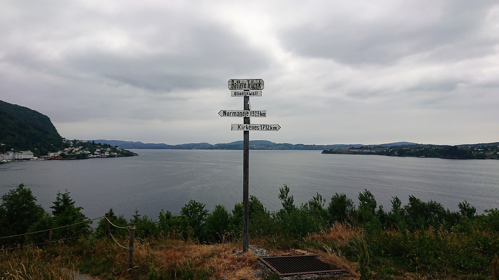 Cycling around Salhus with quick visits of both Tellevik fort and the pier at Salhus.
