Archiv - Nach Datum
Archiv - Nach Aktivität
-
Andere Tour (3)
- Kayaking (3)
-
Fahrradtour (111)
- Fahrradtour Straße (86)
- Fahrradtour gemischt (25)
-
Fahrzeugtour (9)
- Autotour (9)
-
Fußtour (1897)
- Bergtour (1120)
- Jogging (1)
- Spaziergang (60)
- Wanderung (716)
-
Skitour (116)
- Langlauf (47)
- Tourenskilauf (69)
Gesammelte Listen
-
Utvalgte topper og turmål i Bergen
(349/351)
 99%
99% -
Alle topper i Bergen
(393/400)
98%
-
Voss ≥ 100m pf.
(96/98)
97%
-
Opptur Hordaland
(144/159)
90%
-
Stasjoner på Bergensbanen
(33/40)
82%
-
Ulvik ≥ 100m pf.
(30/38)
78%
-
Hordaland ≥ 100m pf.
(624/863)
72%
-
Mjølfjell PF > 100m
(21/31)
67%
-
Jondal ≥ 100m pf.
(15/23)
65%
-
Dagsturhyttene i Vestland
(36/61)
59%
-
Sunnhordland PF >= 100m
(105/186)
56%
-
Hordaland: Hardanger PF>=100m
(196/359)
54%
-
DNT-hytter i Hordaland
(23/45)
51%
-
Kvinnherad ≥ 100m pf.
(40/79)
50%
-
Eidfjord ≥ 100m pf.
(13/42)
30%
-
Sogndal ≥ 100m pf.
(23/81)
28%
-
Gulen ≥ 100m pf.
(15/54)
27%
-
Vik i Sogn ≥ 100m pf.
(10/46)
21%
-
Sogn - Sør for Sognefjorden PF>=100m
(31/159)
19%
-
DNT-hytter i Sogn og Fjordane
(8/47)
17%

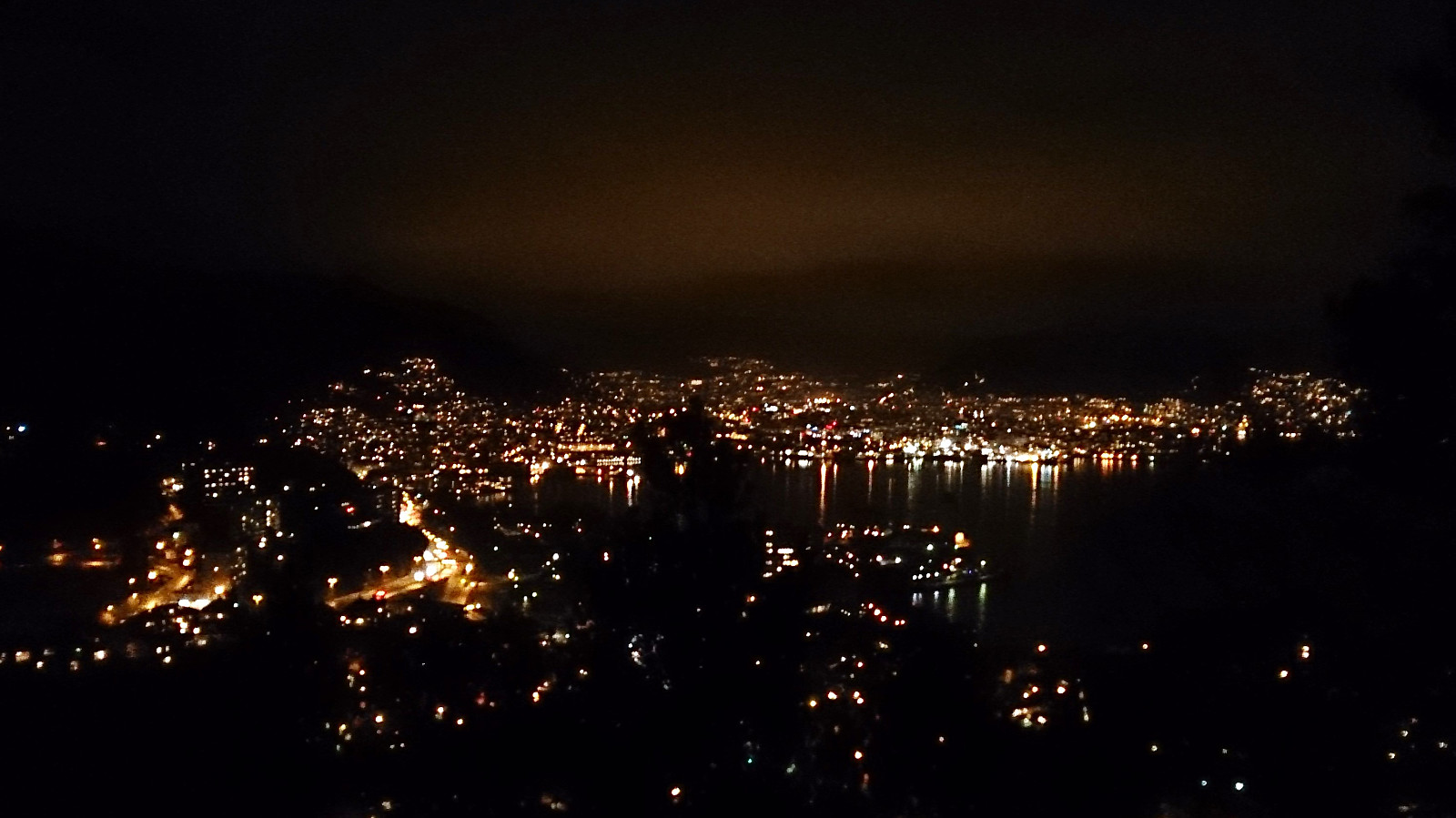
Across Hellen festning
- Datum:
- 31.01.2018
- Tourcharakter:
- Wanderung
- Tourlänge:
- 0:37h
- Entfernung:
- 3,6km
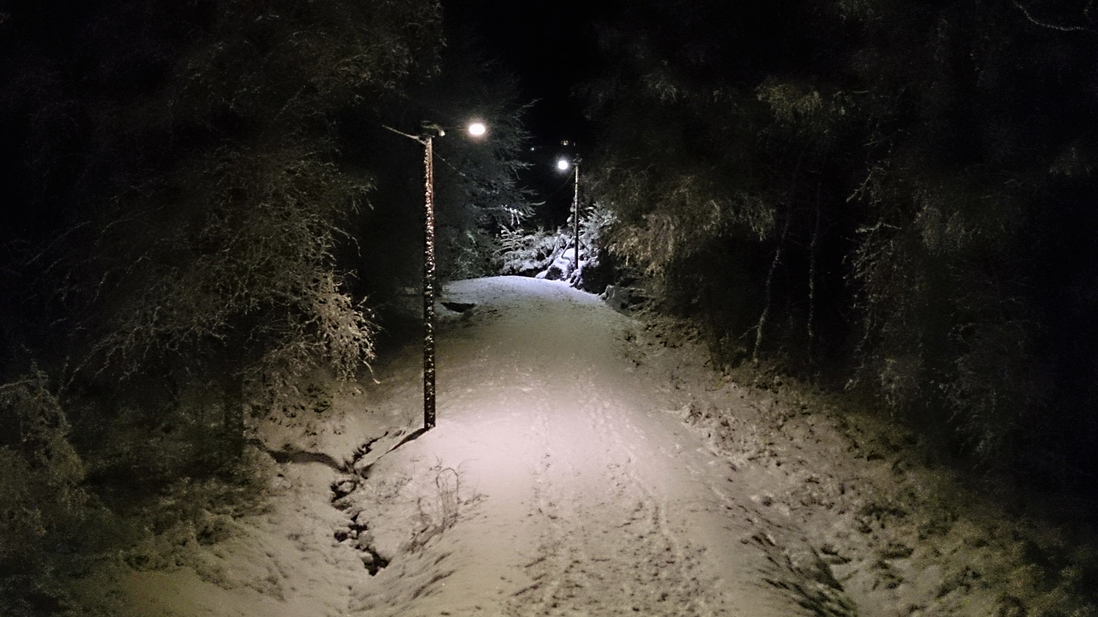
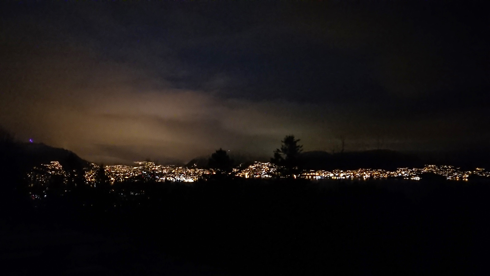 Short evening hike across Hellen festning after dark.
Nattlandsfjellet, Ramsdalsstrupen and Orrehaugane
- Datum:
- 28.01.2018
- Tourcharakter:
- Bergtour
- Tourlänge:
- 2:15h
- Entfernung:
- 8,0km
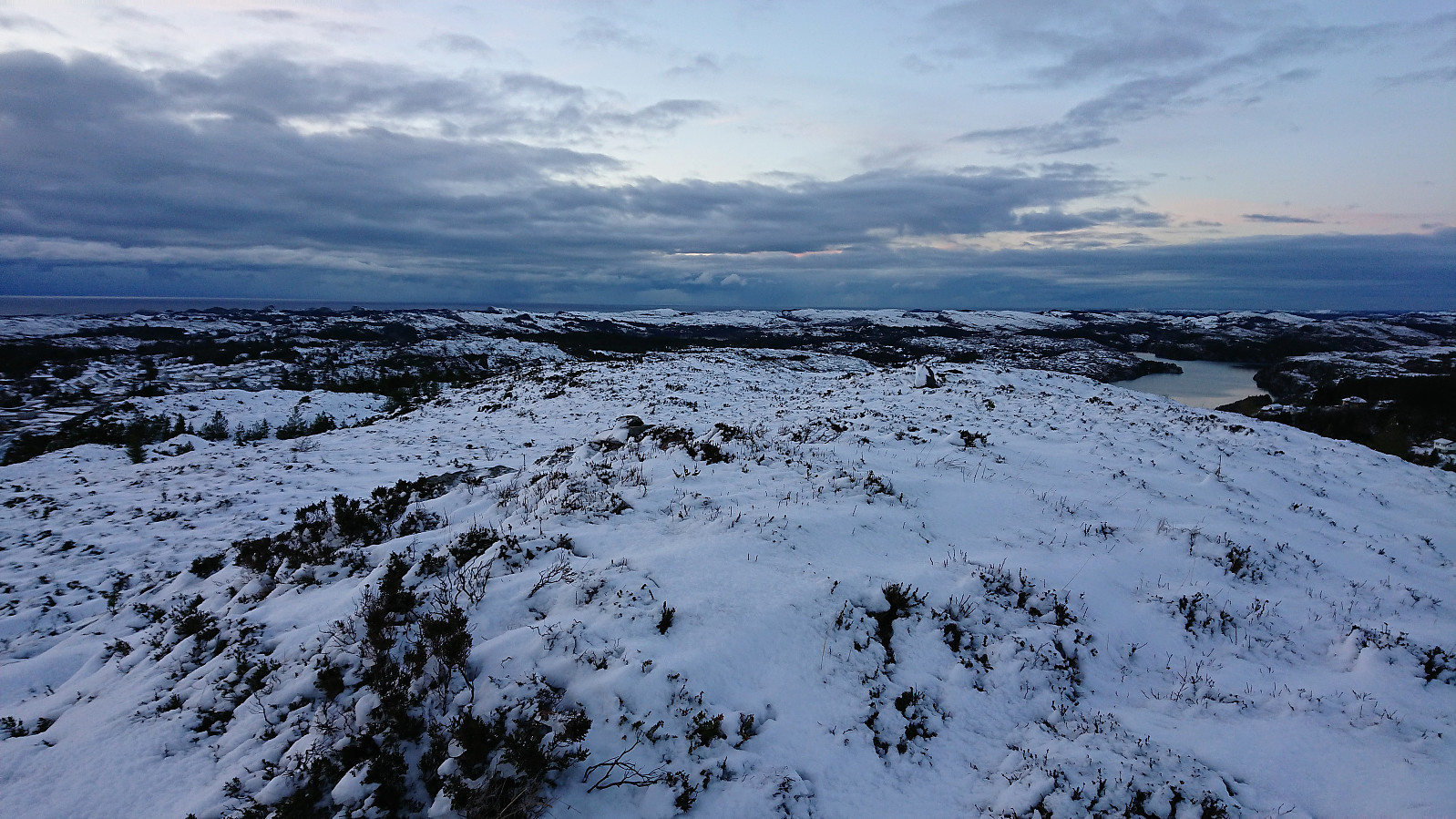
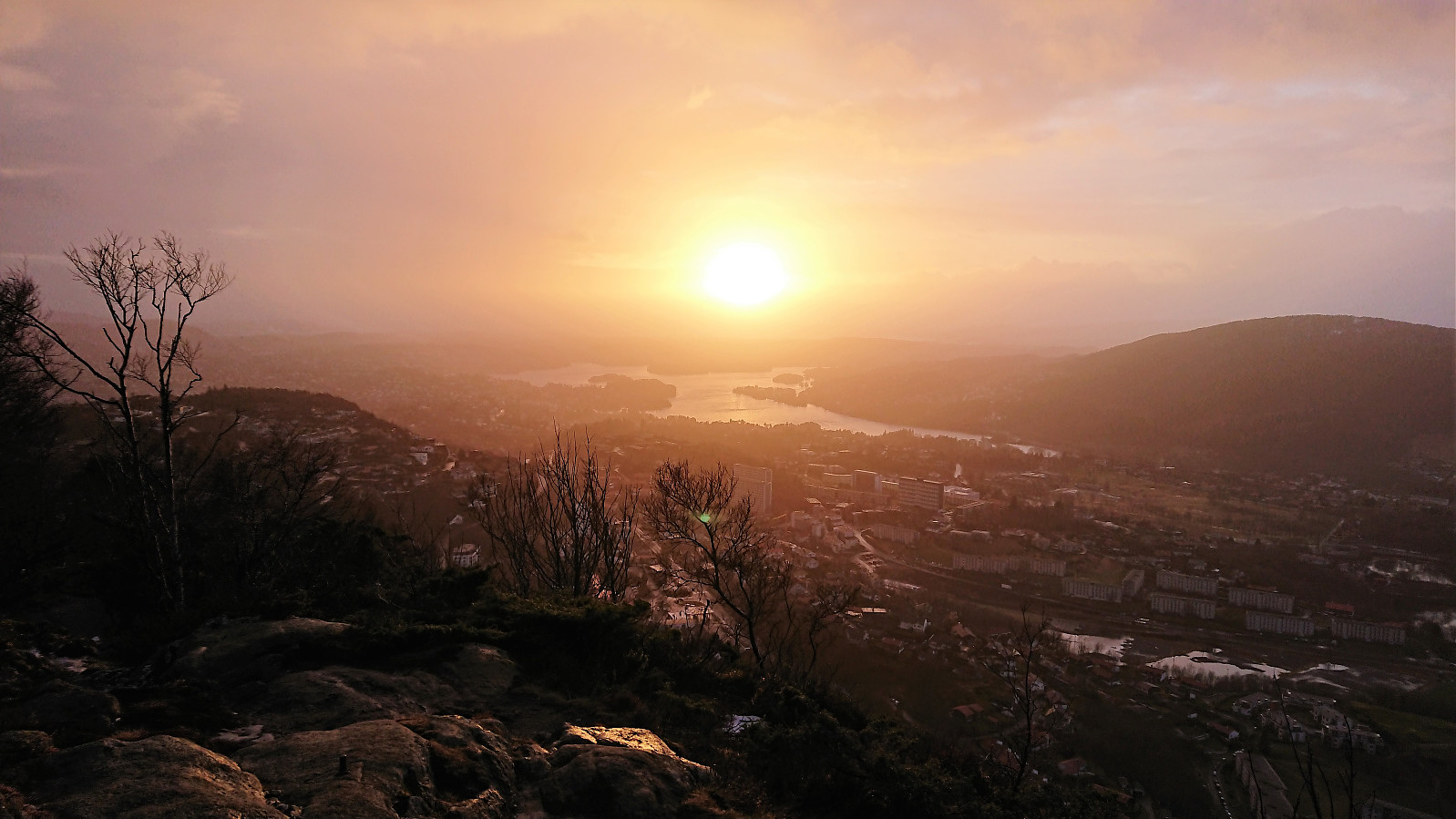 Lots of rain and wind for the first part of the day, so I ended up with a short hike in the afternoon to cover a small recently added summit at Nattlandsfjellet called Ramsdalsstrupen . The plan was to continue up the gravel road and ascend Orrehaugane from the east, but this was abandoned as the road was packed with ice, and the trail up Sveane was used instead. The shortcut down to Landåslien ended up being more challenging than usual as the steep decline was today a mix of snow, ice and running water...
Tverråsen from Hatvikvegen
- Datum:
- 27.01.2018
- Tourcharakter:
- Bergtour
- Tourlänge:
- 2:10h
- Entfernung:
- 8,4km
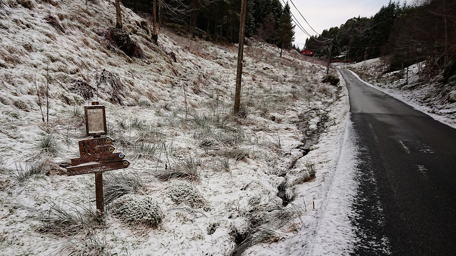 Started by taking the bus to Hatvik (bus stop called Holo) and walked up the paved road in the direction of Tverråsen . The plan had been to follow the road until reaching the gravel road, but after about 1 km I came across a couple of hiking signs indicating a shortcut (which I could also find on the map). It started out as a tractor road, but more or less disappeared before connecting with the gravel road.
I then followed the gravel road until reaching the crossroads indicated on the map. The crossroads was a bit hidden, partly due to a small excavator, but it is located more or less where the gravel roads starts descending. After locating the tractor road behind the excavator, I continued northeast until reaching a second crossroads where I turned north (left) and later southwest towards the highest >>>
Started by taking the bus to Hatvik (bus stop called Holo) and walked up the paved road in the direction of Tverråsen . The plan had been to follow the road until reaching the gravel road, but after about 1 km I came across a couple of hiking signs indicating a shortcut (which I could also find on the map). It started out as a tractor road, but more or less disappeared before connecting with the gravel road.
I then followed the gravel road until reaching the crossroads indicated on the map. The crossroads was a bit hidden, partly due to a small excavator, but it is located more or less where the gravel roads starts descending. After locating the tractor road behind the excavator, I continued northeast until reaching a second crossroads where I turned north (left) and later southwest towards the highest >>>
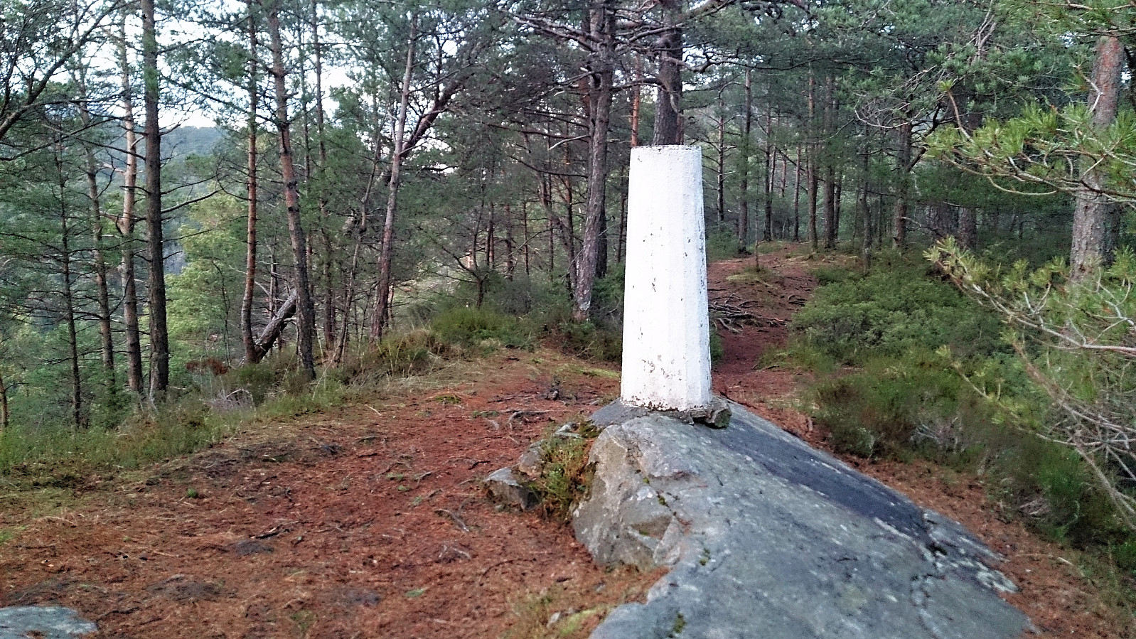
Hellefjellet and Furukammen
- Datum:
- 21.01.2018
- Tourcharakter:
- Wanderung
- Tourlänge:
- 1:52h
- Entfernung:
- 7,0km
 Only a short local hike today after yesterday's long struggle in the snow.
Randifjellet, Vorlandstua and Tveitafjellet
- Datum:
- 20.01.2018
- Tourcharakter:
- Bergtour
- Tourlänge:
- 4:27h
- Entfernung:
- 11,2km
 Randifjellet
Started by taking the bus to Førde (bus stop Førdespollen) and walked up the paved road to the marked trailhead for Førdesveten . I followed the trail towards Førdesveten and started getting a bit worried about the amount of snow. I was not the first using the trail towards Førdesveten though, so this part was straightforward. However, upon reaching the crossroads with the sign for Randifjellet this would all change.
Apparently, nobody else had thought it a good idea to go to Randifjellet after the recent snow fall, and the trail was therefore not visible at all! I decided to give it a go anyway. However it quickly became clear that this was perhaps a bigger challenge than I had thought, and I was soon struggling with snow up to my knees (and sometimes even higher). Of the trail there was no trace, >>>
Randifjellet
Started by taking the bus to Førde (bus stop Førdespollen) and walked up the paved road to the marked trailhead for Førdesveten . I followed the trail towards Førdesveten and started getting a bit worried about the amount of snow. I was not the first using the trail towards Førdesveten though, so this part was straightforward. However, upon reaching the crossroads with the sign for Randifjellet this would all change.
Apparently, nobody else had thought it a good idea to go to Randifjellet after the recent snow fall, and the trail was therefore not visible at all! I decided to give it a go anyway. However it quickly became clear that this was perhaps a bigger challenge than I had thought, and I was soon struggling with snow up to my knees (and sometimes even higher). Of the trail there was no trace, >>>
Ørneberget in the snow with headlamp
- Datum:
- 17.01.2018
- Tourcharakter:
- Bergtour
- Tourlänge:
- 1:44h
- Entfernung:
- 6,6km
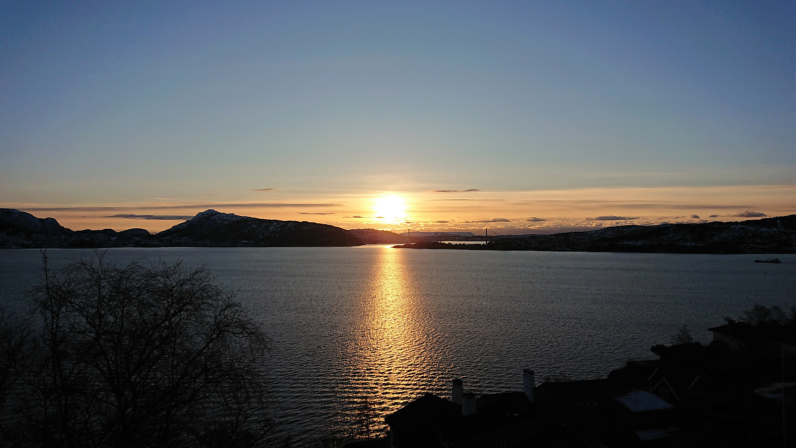
 Short local hike across Ørneberget in the snow with headlamp.
Såta, Kvamskogen
- Datum:
- 14.01.2018
- Tourcharakter:
- Tourenskilauf
- Tourlänge:
- 3:23h
- Entfernung:
- 12,1km
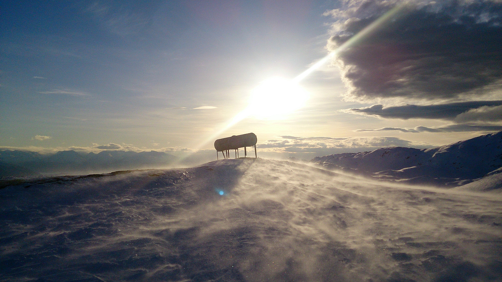 First skiing trip of 2018. Started from the parking lot at Furedalen and followed the standard skiing route to Såta . Very strong winds at the summit so we did not stay long before starting our descent.
First heading east and then south across Breiarusti on the way down to Furedalen. Not the best skiing conditions but overall a very nice trip.
First skiing trip of 2018. Started from the parking lot at Furedalen and followed the standard skiing route to Såta . Very strong winds at the summit so we did not stay long before starting our descent.
First heading east and then south across Breiarusti on the way down to Furedalen. Not the best skiing conditions but overall a very nice trip.
Radøy: From Kolås to Rimmo
- Datum:
- 13.01.2018
- Tourcharakter:
- Bergtour
- Tourlänge:
- 6:16h
- Entfernung:
- 21,8km
 Morkefjellet
Started by taking the bus to Namntveit (bus stop called Kolås) and from there walking west along the road for a couple hundred meters before leaving the road and heading northeast. This trail was unmarked, but clearly visible from the main road. There was however an information sign stating that I could follow this trail north along the lake all the way to Li.
I followed the trail until locating the sign for Morkefjellet , assuming it would be easy progress towards the summit from here on. However, the trail soon disappeared, and I had to find my own way for a while. I did reconnect with the trail (or perhaps the sign does not accurately indicate where the trail starts?), but the trail was overall very weak until around 150 meters above sea level, were it crossed a fence and then followed a >>>
Morkefjellet
Started by taking the bus to Namntveit (bus stop called Kolås) and from there walking west along the road for a couple hundred meters before leaving the road and heading northeast. This trail was unmarked, but clearly visible from the main road. There was however an information sign stating that I could follow this trail north along the lake all the way to Li.
I followed the trail until locating the sign for Morkefjellet , assuming it would be easy progress towards the summit from here on. However, the trail soon disappeared, and I had to find my own way for a while. I did reconnect with the trail (or perhaps the sign does not accurately indicate where the trail starts?), but the trail was overall very weak until around 150 meters above sea level, were it crossed a fence and then followed a >>>
Langaheia: from Spelhaugen to Nipedalen
- Datum:
- 12.01.2018
- Tourcharakter:
- Bergtour
- Tourlänge:
- 1:13h
- Entfernung:
- 3,8km
 Started by taking the bus to Fyllingsdalsveien (bus stop called Skarphaugen) and from there walked up to Spelhaugen and the start of the gravel road towards Tennebekkstjernet.
Immediately after leaving the car park I turned west, crossing the small wooden bridge and followed the unmarked trail to Langaheia . Normally this would be a very easy summit to get to, but today the trail was full of ice and slippery wet roots.
The summit provided much better views than expected. After returning to the gravel road, the plan was to move quickly to the bus stop in Nipedalen. This ended up taking a bit longer than planned though, as significant sections of the road were packed with ice, requiring extra caution. This did however improve when getting closer to Tennebekkstjernet.
From Nipedalen, I took the bus back to >>>
Started by taking the bus to Fyllingsdalsveien (bus stop called Skarphaugen) and from there walked up to Spelhaugen and the start of the gravel road towards Tennebekkstjernet.
Immediately after leaving the car park I turned west, crossing the small wooden bridge and followed the unmarked trail to Langaheia . Normally this would be a very easy summit to get to, but today the trail was full of ice and slippery wet roots.
The summit provided much better views than expected. After returning to the gravel road, the plan was to move quickly to the bus stop in Nipedalen. This ended up taking a bit longer than planned though, as significant sections of the road were packed with ice, requiring extra caution. This did however improve when getting closer to Tennebekkstjernet.
From Nipedalen, I took the bus back to >>>
Hellen festning and Furukammen
- Datum:
- 07.01.2018
- Tourcharakter:
- Wanderung
- Tourlänge:
- 1:15h
- Entfernung:
- 5,1km
 Short local Sunday evening hike after the rain stopped and the wind died down.
