Arkiv - dato
Arkiv - aktivitet
-
Annen tur (3)
- Kajakkpadling (3)
- Fottur (1897)
-
Kjøretur (9)
- Biltur (9)
-
Skitur (116)
- Fjellskitur (69)
- Langrennstur (47)
-
Sykkeltur (111)
- Blandet sykling (25)
- Gatesykling (86)
Lister jeg samler etter
-
Utvalgte topper og turmål i Bergen
(349/351)
 99%
99% -
Alle topper i Bergen
(393/400)
98%
-
Voss ≥ 100m pf.
(96/98)
97%
-
Opptur Hordaland
(144/159)
90%
-
Stasjoner på Bergensbanen
(33/40)
82%
-
Ulvik ≥ 100m pf.
(30/38)
78%
-
Hordaland ≥ 100m pf.
(624/863)
72%
-
Mjølfjell PF > 100m
(21/31)
67%
-
Jondal ≥ 100m pf.
(15/23)
65%
-
Dagsturhyttene i Vestland
(36/61)
59%
-
Sunnhordland PF >= 100m
(105/186)
56%
-
Hordaland: Hardanger PF>=100m
(196/359)
54%
-
DNT-hytter i Hordaland
(23/45)
51%
-
Kvinnherad ≥ 100m pf.
(40/79)
50%
-
Eidfjord ≥ 100m pf.
(13/42)
30%
-
Sogndal ≥ 100m pf.
(23/81)
28%
-
Gulen ≥ 100m pf.
(15/54)
27%
-
Vik i Sogn ≥ 100m pf.
(10/46)
21%
-
Sogn - Sør for Sognefjorden PF>=100m
(31/159)
19%
-
DNT-hytter i Sogn og Fjordane
(8/47)
17%

Cycling: Eidsvågsneset Roundtrip
- Dato:
- 25.09.2017
- Turtype:
- Gatesykling
- Turlengde:
- 1:09t
- Distanse:
- 15,3km
 Short local bike ride around Eidsvågsneset, with a quick visit to Sandviksbatteriet . Note that the steep and bumpy gravel road up to Sandviksbatteriet is not really made for cycling though. ;)
Baugtveit Roundtrip
- Dato:
- 24.09.2017
- Turtype:
- Fjelltur
- Turlengde:
- 3:03t
- Distanse:
- 8,9km
 Started by taking the bus to Støbotn and walking up to Baugtveit and the trail towards Nordgardsfjellet . I then followed the standard trail to Nordgardsfjellet, Tellevikafjellet and Høgstefjellet . On the way down from Høgstefjellet, I took a quick detour to the summit of Midtfjellet , before completing the circle and arriving at Baugtveit, from where I walked back to Støbotn and the bus back towards the city center. Overall, the trail was easy to follow, but the quality was varied, with several wet and muddy sections. But all in all, a nice hike that can be recommended.
Nukane, Storsåta, Øst for Stangelifjellet and Rundemanen
- Dato:
- 23.09.2017
- Turtype:
- Fjelltur
- Turlengde:
- 5:33t
- Distanse:
- 19,5km
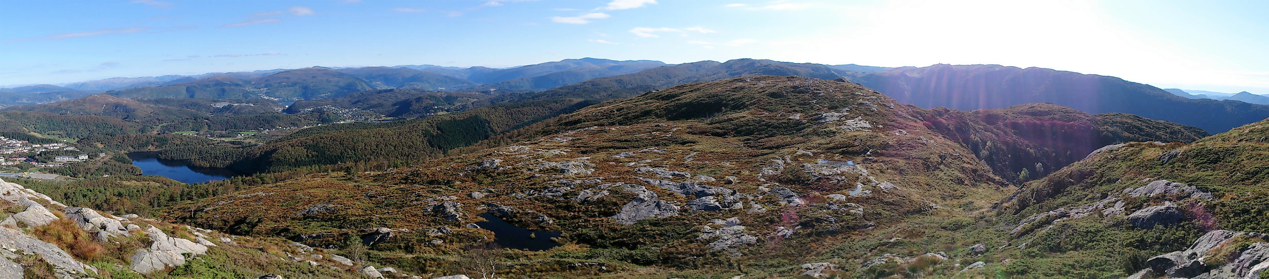 Started by taking the bus to Hesthaugen and from there walked up to Kolåsen to locate the trailhead. (Note the sharp left in between the two buildings that is needed to find the sign and the trailhead. See GPS track for details.) I then followed the trail southeast across Nukane , Storsåta and Stangelifjellet to arrive at Vikinghytten , before turning west to Rundemanen .
From Rundemanen I headed northwest, passing by Ankerhytten on the way down to Munkebotsvatnet, before following the roads on the Eidsvåg-side of Eidsvågfjellet, ending with walking down Fagerbakken to Helleveien.
All in all, a very nice hike along overall good trails, the clear exception being the first part of the trail down from Ankerhytten, which on this day felt more like a muddy river than a trail.
Started by taking the bus to Hesthaugen and from there walked up to Kolåsen to locate the trailhead. (Note the sharp left in between the two buildings that is needed to find the sign and the trailhead. See GPS track for details.) I then followed the trail southeast across Nukane , Storsåta and Stangelifjellet to arrive at Vikinghytten , before turning west to Rundemanen .
From Rundemanen I headed northwest, passing by Ankerhytten on the way down to Munkebotsvatnet, before following the roads on the Eidsvåg-side of Eidsvågfjellet, ending with walking down Fagerbakken to Helleveien.
All in all, a very nice hike along overall good trails, the clear exception being the first part of the trail down from Ankerhytten, which on this day felt more like a muddy river than a trail.
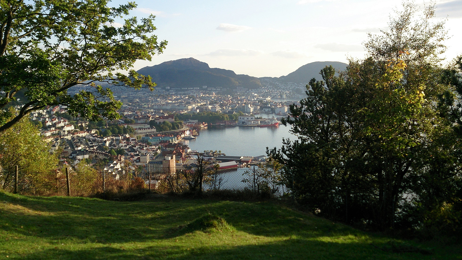
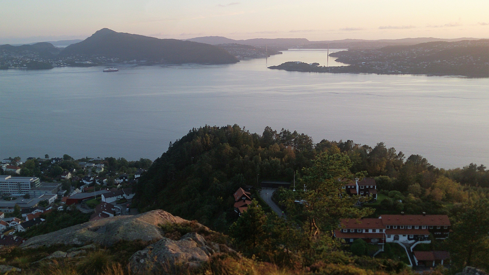
Sykkel-VM 2017 - Fløyen
- Dato:
- 20.09.2017
- Turtype:
- Fottur
- Turlengde:
- 4:04t
- Distanse:
- 11,5km
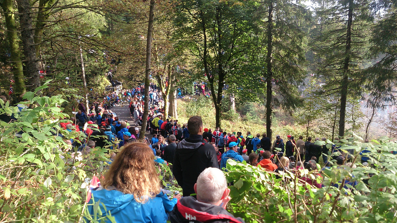 Hike across Fløyen to experience the atmosphere during the individual time trial event with the finishing line at the top of Fløibanen. Significantly longer breaks and a lot more people than on my usual hikes! ;)
Hetlebakksåta, Breisteinsåta and Erviknipa
- Dato:
- 18.09.2017
- Turtype:
- Fjelltur
- Turlengde:
- 2:35t
- Distanse:
- 6,8km
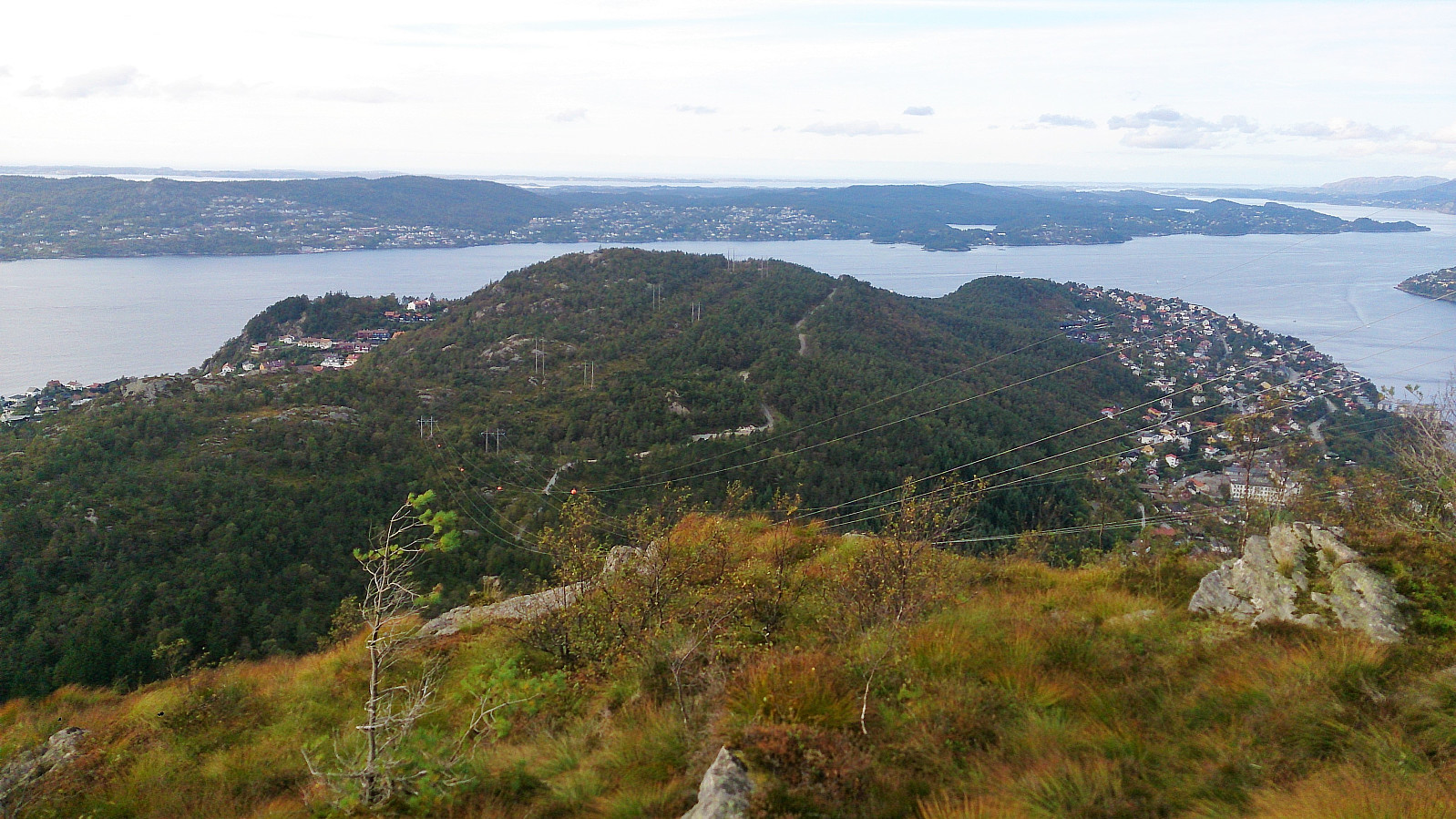
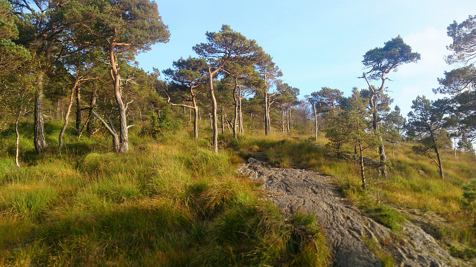 Started by taking the bus to Myrsæther and walking along Breisteinsvegen, Leikvangvegen and finally Litlaskarstien to arrive at the unmarked trailhead. We then followed a nice trail through the pine forrest up to Hetlebakksåta , and also included a quick visit to Breisteinsåta before continuing down the relatively steep trail towards Erviknipa .
From Erviknipa we followed the trail south, ending up at the top of Tuftadalen, from where we followed the paved road down to Gaupåsvegen for the bus back to the city center. Overall, a nice short hike with great views along the way that can highly recommended.
Started by taking the bus to Myrsæther and walking along Breisteinsvegen, Leikvangvegen and finally Litlaskarstien to arrive at the unmarked trailhead. We then followed a nice trail through the pine forrest up to Hetlebakksåta , and also included a quick visit to Breisteinsåta before continuing down the relatively steep trail towards Erviknipa .
From Erviknipa we followed the trail south, ending up at the top of Tuftadalen, from where we followed the paved road down to Gaupåsvegen for the bus back to the city center. Overall, a nice short hike with great views along the way that can highly recommended.
Rognåsen and Orretua
- Dato:
- 17.09.2017
- Turtype:
- Fjelltur
- Turlengde:
- 2:44t
- Distanse:
- 9,2km
 Rognåsen
Started from Lønborg, crossing Hellen festning to arrive at Øyjordsveien. Right after the crossroads of Øyjordsveien and Søre Øyjorden I took the quite steep trail towards Rognåsen . It was clear that this trail was not heavily used, and it also contained several wet areas towards the end, but it was easy to follow and I quickly connected with one of the main trails crossing Eidsvågsfjellet.
I followed this trail south before taking a short detour to get to the highest point of Rognåsen. After taking a couple of picture I returned to the main trail, which I then followed down to the paved road along Langevatnet.
Orretua
At the northern end of Langevatnet I left the paved road and followed the steep trail up to Orretua . Note that this trail does require a bit of light climbing, but most people should have no >>>
Rognåsen
Started from Lønborg, crossing Hellen festning to arrive at Øyjordsveien. Right after the crossroads of Øyjordsveien and Søre Øyjorden I took the quite steep trail towards Rognåsen . It was clear that this trail was not heavily used, and it also contained several wet areas towards the end, but it was easy to follow and I quickly connected with one of the main trails crossing Eidsvågsfjellet.
I followed this trail south before taking a short detour to get to the highest point of Rognåsen. After taking a couple of picture I returned to the main trail, which I then followed down to the paved road along Langevatnet.
Orretua
At the northern end of Langevatnet I left the paved road and followed the steep trail up to Orretua . Note that this trail does require a bit of light climbing, but most people should have no >>>
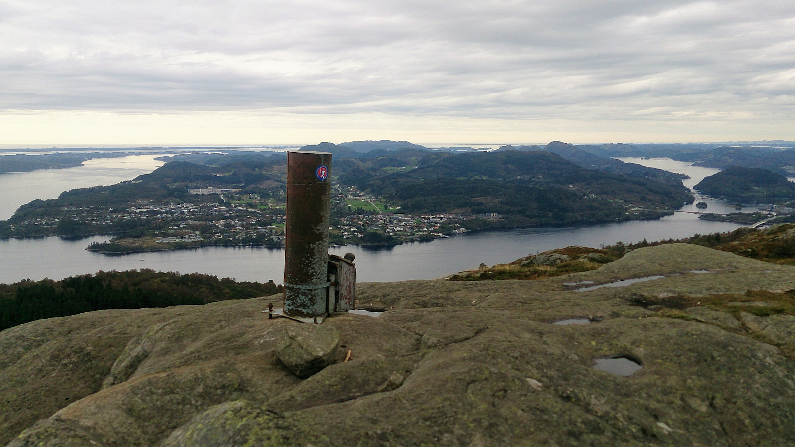
Hananipa, Raudnipa, Raudfjell and Krånipa
- Dato:
- 16.09.2017
- Turtype:
- Fjelltur
- Turlengde:
- 7:00t
- Distanse:
- 20,6km
 Hananipa
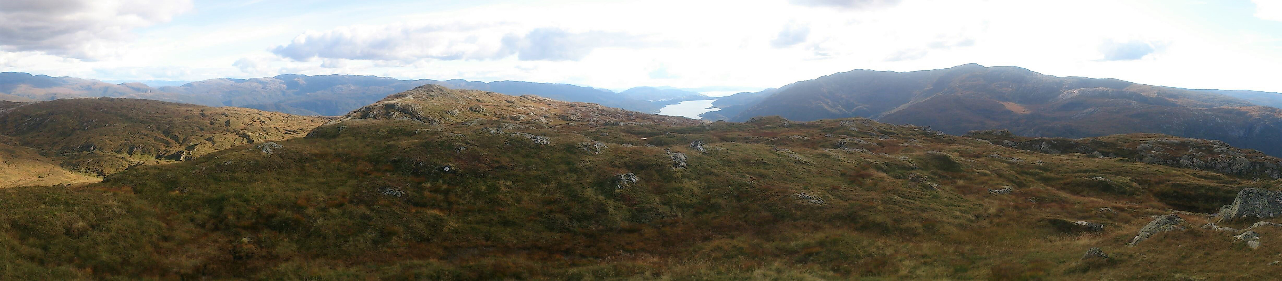
Started by taking the train to Trengereid and from there walking up to the trailhead at Skulstadvatnet. This included an almost 400 meters ascent, but the winding road made it into a quite nice and not too tough start. Note that there are a couple of possible shortcuts at the start, so be sure to look out for these.
Upon reaching Skulstadvatnet I turned left, and followed the very nice trail towards Hananipa . First alongside Skulstadvatnet and later along the ridge, all the time with excellent views. The quality of the trail was overall very good and I quickly found myself at the summit for spectacular views in all directions. I continued north across the summit to the cairn and some even better views towards Osterøy and Vaksdal.
Raudnipa
The plan was now to continue to Raudnipa . I therefore started looking for a trail >>>
Hananipa
Started by taking the train to Trengereid and from there walking up to the trailhead at Skulstadvatnet. This included an almost 400 meters ascent, but the winding road made it into a quite nice and not too tough start. Note that there are a couple of possible shortcuts at the start, so be sure to look out for these.
Upon reaching Skulstadvatnet I turned left, and followed the very nice trail towards Hananipa . First alongside Skulstadvatnet and later along the ridge, all the time with excellent views. The quality of the trail was overall very good and I quickly found myself at the summit for spectacular views in all directions. I continued north across the summit to the cairn and some even better views towards Osterøy and Vaksdal.
Raudnipa
The plan was now to continue to Raudnipa . I therefore started looking for a trail >>>
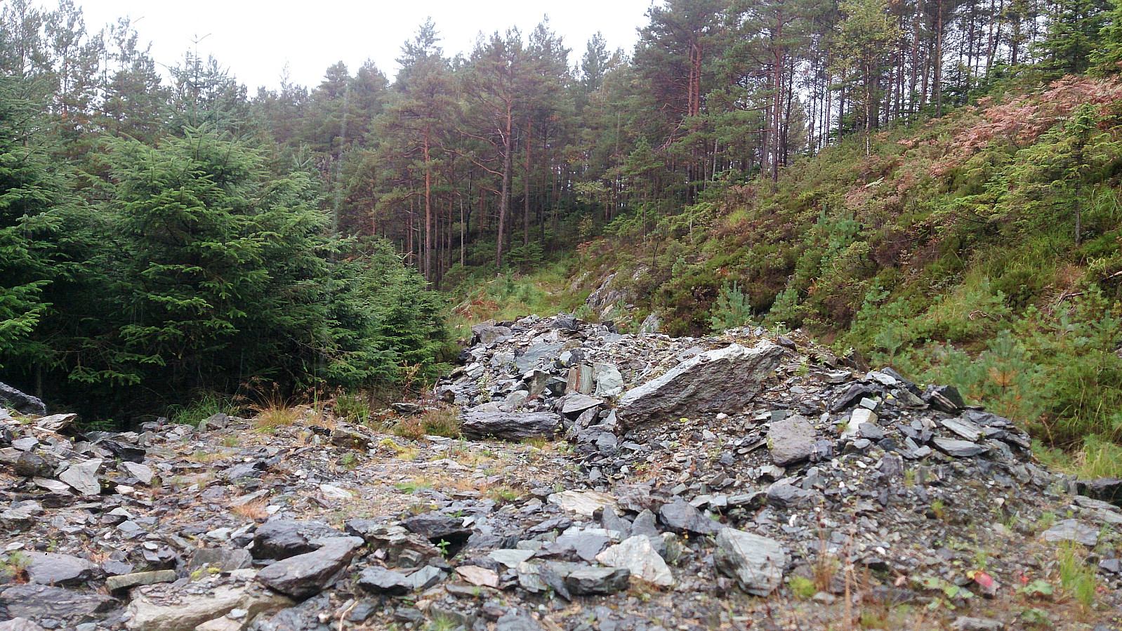
Sandviksfjellet via Skredderdalen
- Dato:
- 13.09.2017
- Turtype:
- Fjelltur
- Turlengde:
- 2:05t
- Distanse:
- 9,4km
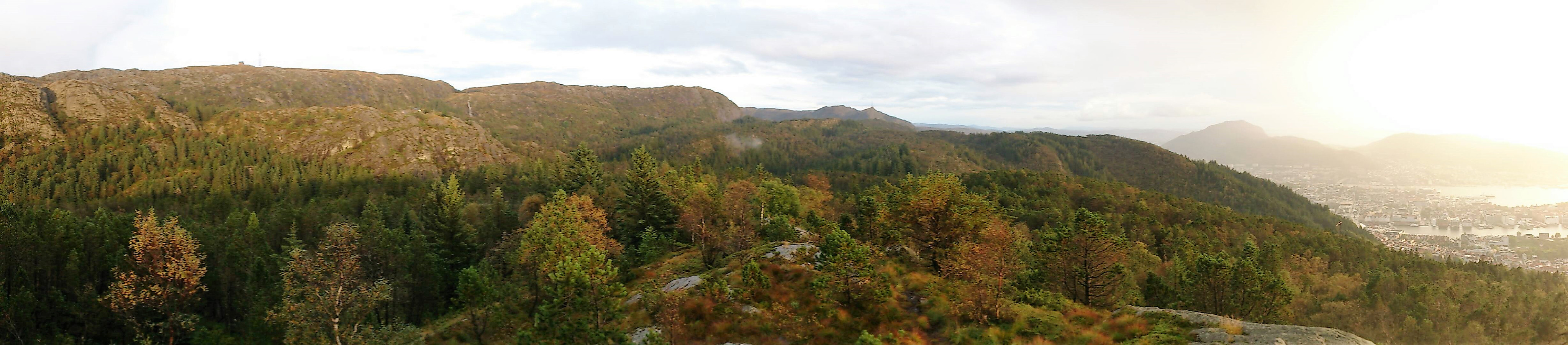 Short evening hike from Munkebotn, following Fjellveien and then up Skredderdalen, passing by the summit of Sandviksfjellet before ending in Lønborg. It started raining more or less as soon as I arrived in Skredderdalen, but cleared up just as I reached the cairn at Sandviksfjellet.
Åsen
- Dato:
- 10.09.2017
- Turtype:
- Fjelltur
- Turlengde:
- 2:25t
- Distanse:
- 9,0km
 Started by taking the bus to Gåssandskiftet and walking up Gåssandvegen to locate the start of the trail. This involved walking a bit more than 3 km along a paved road with limited traffic. Not the most interesting, but not too bad either.
The exit from the main road was easy to find as it was the only gravel road taking off to the right (east). The gravel road quickly turned south and then came to an end. After crossing several small piles of rocks, I located the start of a trail that seemed to head in the direction of Åsen.
Calling it a trail is being very generous though, as I'm pretty sure it is much more heavily used by deer than my humans, and it went as much through the trees/bushes as around them, and also split multiple times. However, it did make it easier to make progress towards >>>
Started by taking the bus to Gåssandskiftet and walking up Gåssandvegen to locate the start of the trail. This involved walking a bit more than 3 km along a paved road with limited traffic. Not the most interesting, but not too bad either.
The exit from the main road was easy to find as it was the only gravel road taking off to the right (east). The gravel road quickly turned south and then came to an end. After crossing several small piles of rocks, I located the start of a trail that seemed to head in the direction of Åsen.
Calling it a trail is being very generous though, as I'm pretty sure it is much more heavily used by deer than my humans, and it went as much through the trees/bushes as around them, and also split multiple times. However, it did make it easier to make progress towards >>>
Ørneberget from Sandviken sykehus
- Dato:
- 06.09.2017
- Turtype:
- Fjelltur
- Turlengde:
- 1:19t
- Distanse:
- 4,8km
 Short evening hike from Sandviken sykehus across Ørneberget to Lønborg.
