Archivo - fecha
Archivo - actividad
-
Ciclismo (119)
- Ciclismo de carretera (90)
- Ciclismo mixto (29)
-
Excurción de esquí (116)
- Esquí de fondo (47)
- Esquí de montaña (69)
-
Excurción de otro tipo (3)
- Kayak (3)
-
Senderismo (1917)
- Caminata (60)
- Running (2)
- Senderismo (726)
- Senderismo de montaña (1129)
- Viaje por carretera (9)
Listas obtenidas
-
Utvalgte topper og turmål i Bergen
(352/353)
 99%
99% -
Alle topper i Bergen
(396/401)
98%
-
Voss ≥ 100m pf.
(96/98)
97%
-
Opptur Hordaland
(145/159)
91%
-
Stasjoner på Bergensbanen
(33/40)
82%
-
Ulvik ≥ 100m pf.
(31/38)
81%
-
Hordaland ≥ 100m pf.
(633/863)
73%
-
Mjølfjell PF > 100m
(21/31)
67%
-
Jondal ≥ 100m pf.
(15/23)
65%
-
Dagsturhyttene i Vestland
(38/62)
61%
-
Sunnhordland PF >= 100m
(113/186)
60%
-
Hordaland: Hardanger PF>=100m
(197/359)
54%
-
DNT-hytter i Hordaland
(25/46)
54%
-
Kvinnherad ≥ 100m pf.
(41/79)
51%
-
Eidfjord ≥ 100m pf.
(14/42)
33%
-
Etne ≥ 100m pf.
(15/51)
29%
-
Sogndal ≥ 100m pf.
(23/81)
28%
-
Gulen ≥ 100m pf.
(15/54)
27%
-
Vik i Sogn ≥ 100m pf.
(10/46)
21%
-
Sogn - Sør for Sognefjorden PF>=100m
(31/159)
19%

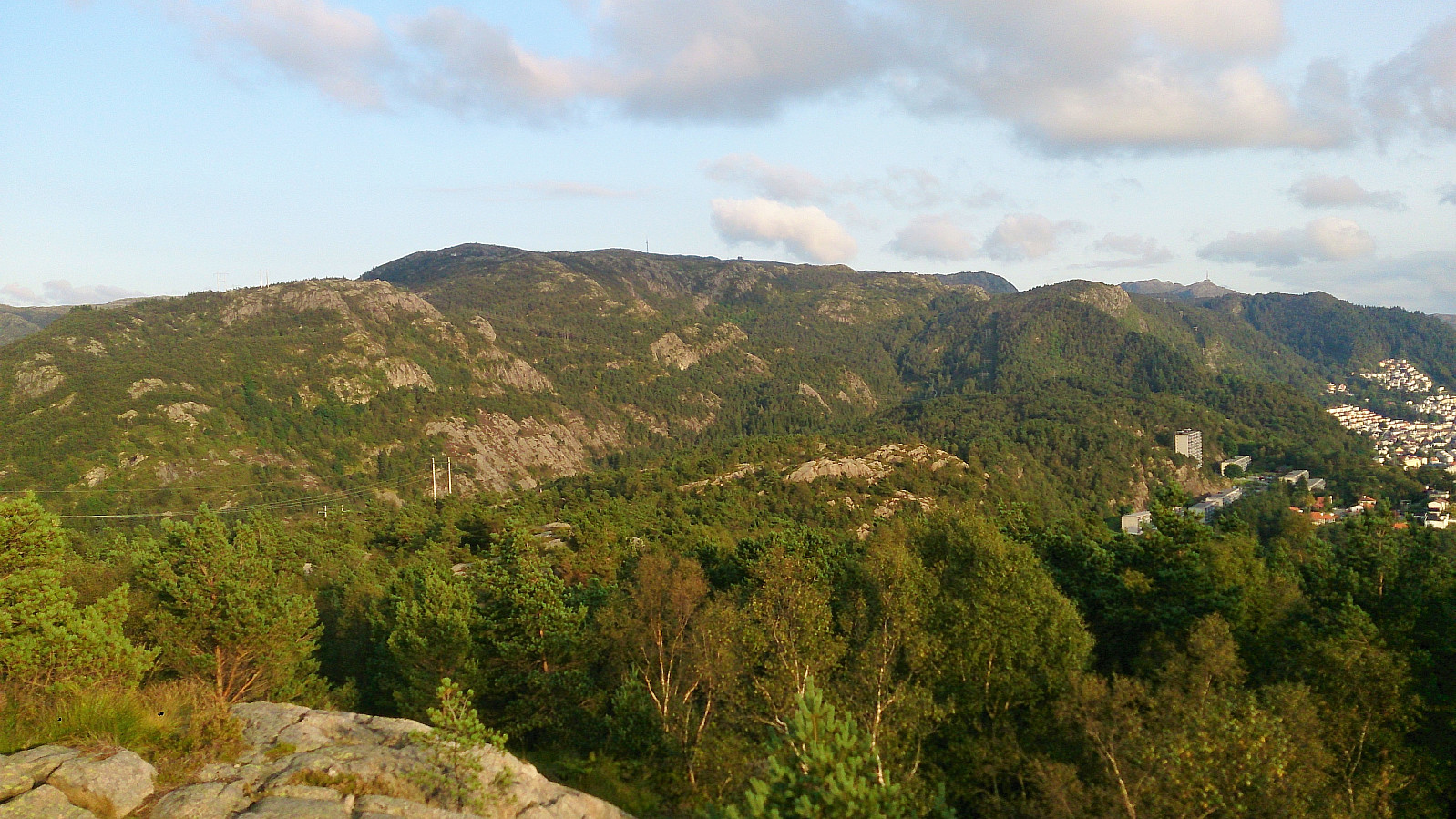
Toppenipa and Toppefjellet
- Fecha:
- 30.08.2017
- Tipo de excursión:
- Senderismo de montaña
- Duración:
- 1:36h
- Distancia:
- 5.4km
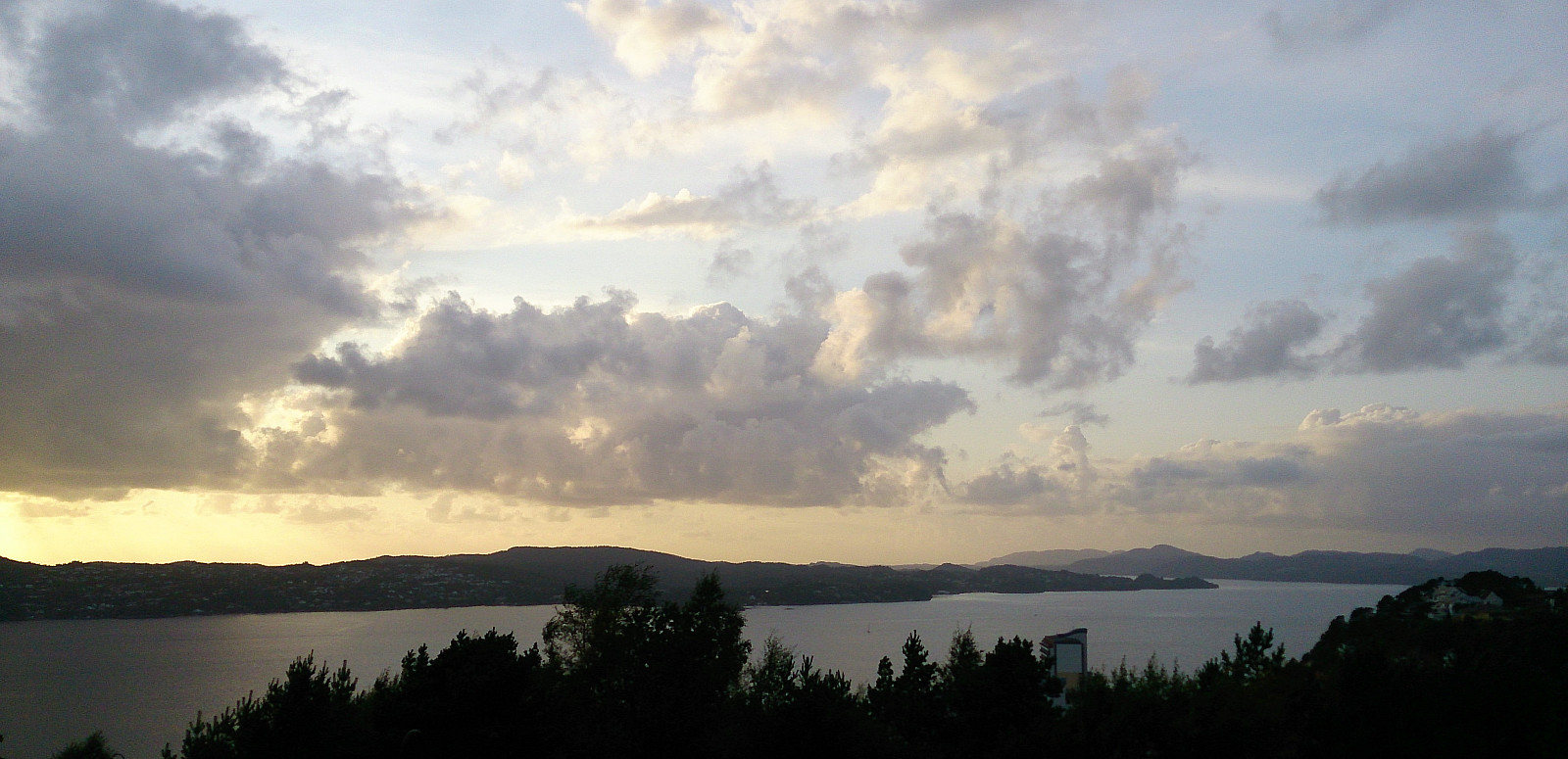
 Started by taking the bus to Støbotn and from there following Toppevegen up to the marked trailhead. I followed the relatively steep trail to the summit of Toppenipa , before continuing towards Toppefjellet . Nice views as always from both summits. Did not meet a single person though, which may explain my next encounter.
As I was taking pictures at the summit of Toppefjellet I suddenly heard a large animal running in the direction of Toppenipa, starting from just south of the summit. Initially I could not see the animal, but as it ran northwest it made a short stop in a small clearing, long enough for me to confirm my suspicion that it was a deer and to take a quick picture, before it again disappeared into the trees.
After this unexpected excitement, I turned back and followed the same trail back towards Toppenipa. >>>
Started by taking the bus to Støbotn and from there following Toppevegen up to the marked trailhead. I followed the relatively steep trail to the summit of Toppenipa , before continuing towards Toppefjellet . Nice views as always from both summits. Did not meet a single person though, which may explain my next encounter.
As I was taking pictures at the summit of Toppefjellet I suddenly heard a large animal running in the direction of Toppenipa, starting from just south of the summit. Initially I could not see the animal, but as it ran northwest it made a short stop in a small clearing, long enough for me to confirm my suspicion that it was a deer and to take a quick picture, before it again disappeared into the trees.
After this unexpected excitement, I turned back and followed the same trail back towards Toppenipa. >>>
Hellen festning
- Fecha:
- 29.08.2017
- Tipo de excursión:
- Senderismo
- Duración:
- 0:40h
- Distancia:
- 3.5km
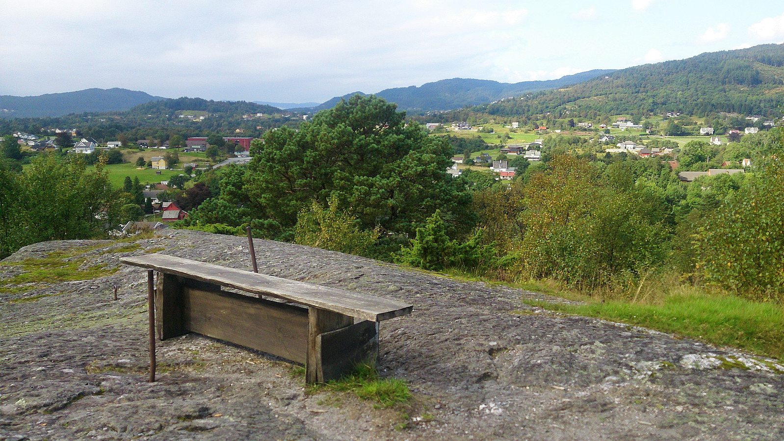
 Short local hike across Hellen festning.
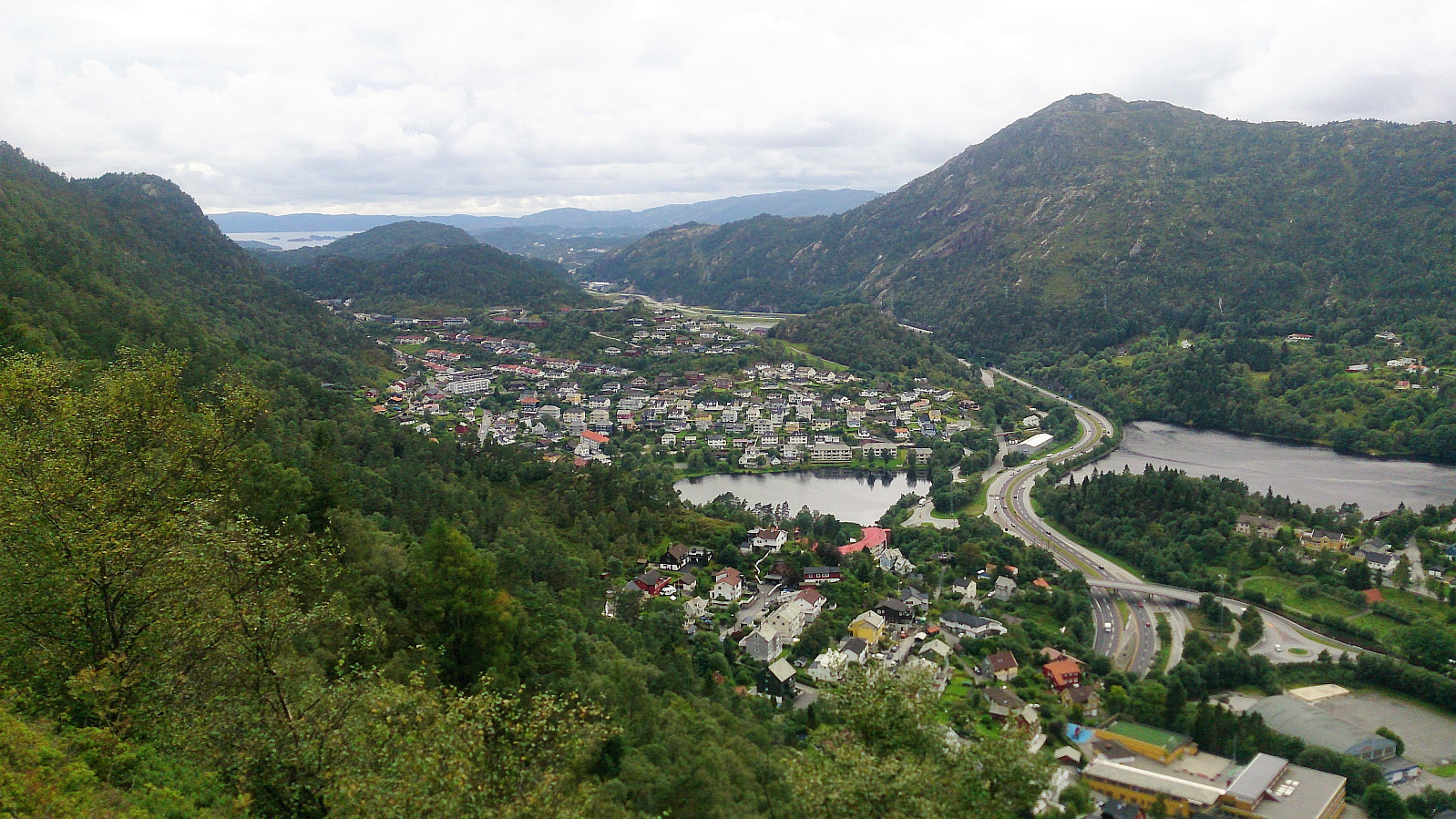
Geitanuken - from Saudalen to Åsane terminal
- Fecha:
- 27.08.2017
- Tipo de excursión:
- Senderismo de montaña
- Duración:
- 1:19h
- Distancia:
- 5.3km
 Started by taking the bus to Saudalen and from there following the road upwards to the trailhead. The trail goes southeast along the ridge of the mountain, with excellent views along the way. Upon reaching Geitanuken , I continued south to Myrdalskogen and then followed the roads back to Åsane terminal.
A nice short hike that can be highly recommended.
Started by taking the bus to Saudalen and from there following the road upwards to the trailhead. The trail goes southeast along the ridge of the mountain, with excellent views along the way. Upon reaching Geitanuken , I continued south to Myrdalskogen and then followed the roads back to Åsane terminal.
A nice short hike that can be highly recommended.
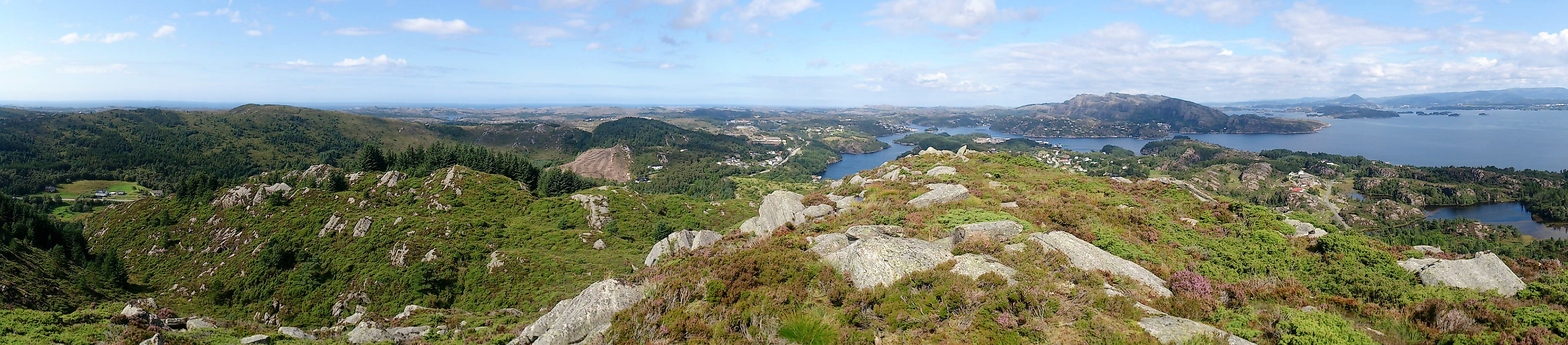
Katlaberget, Liafjellet and Vardafjellet
- Fecha:
- 26.08.2017
- Tipo de excursión:
- Senderismo de montaña
- Duración:
- 4:35h
- Distancia:
- 17.3km
 Katlaberget
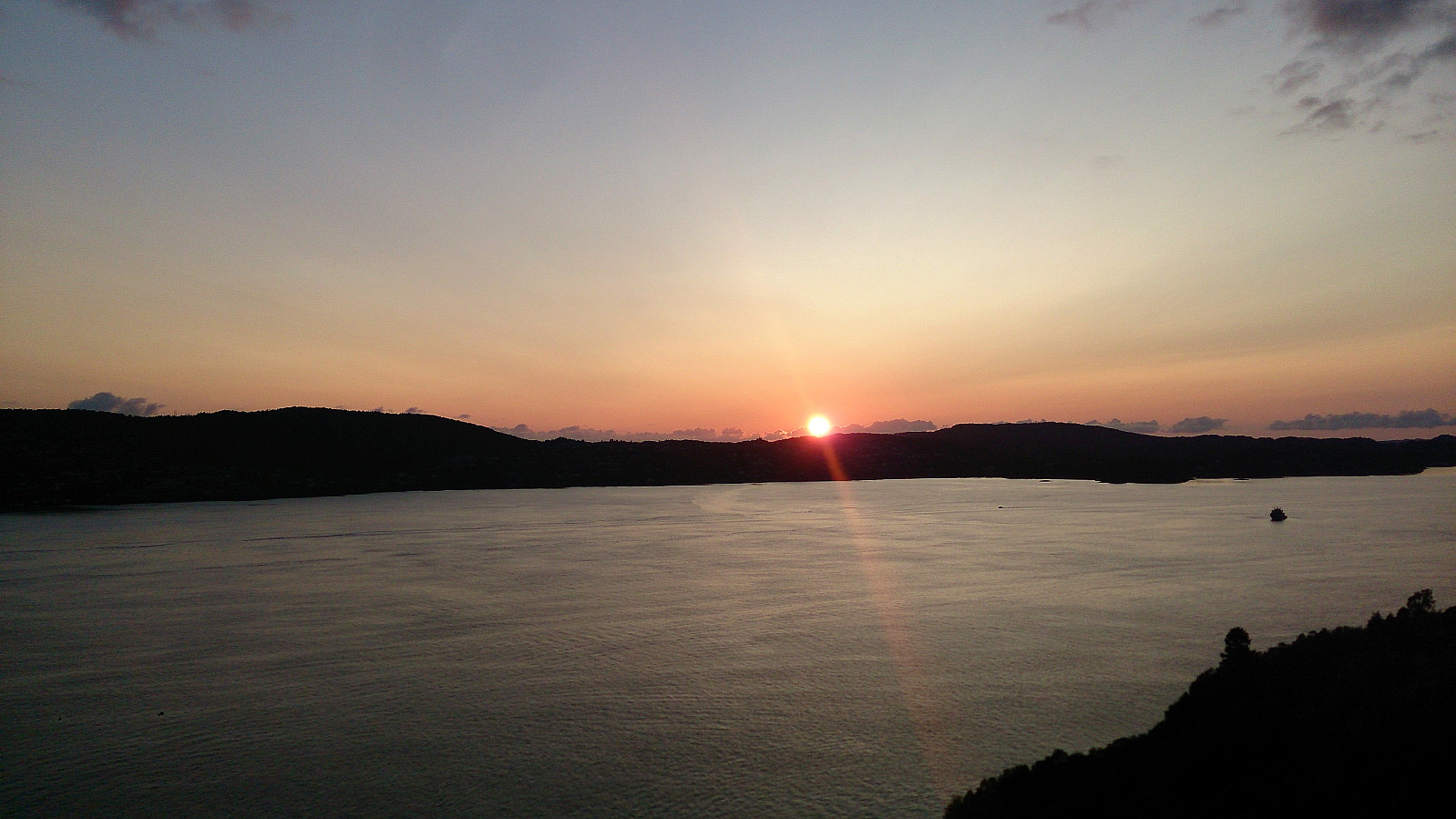
Started by taking the bus to Lunde and following Torkjelsvegen down towards Vargavågen. The trail/road was marked all the way from the start at Torkjelsvegen. The signs felt a bit counterintuitive at times though, sending me both downwards and further northeast than expected, but I decided to stick with them, and quickly arrived at the plateau east of the summit.
Here I noticed a trail northeast towards Ferstad, with what turned out to be a very nice view across Fusafjorden. From the viewpoint, I turned back and headed for the highest point of Katlaberget . The views here were somewhat limited by trees, especially in the western direction, nothing like what I had seen on the trail towards Ferstad. After the mandatory pictures, I therefore decided to go back to the previous viewpoint and continue >>>
Katlaberget
Started by taking the bus to Lunde and following Torkjelsvegen down towards Vargavågen. The trail/road was marked all the way from the start at Torkjelsvegen. The signs felt a bit counterintuitive at times though, sending me both downwards and further northeast than expected, but I decided to stick with them, and quickly arrived at the plateau east of the summit.
Here I noticed a trail northeast towards Ferstad, with what turned out to be a very nice view across Fusafjorden. From the viewpoint, I turned back and headed for the highest point of Katlaberget . The views here were somewhat limited by trees, especially in the western direction, nothing like what I had seen on the trail towards Ferstad. After the mandatory pictures, I therefore decided to go back to the previous viewpoint and continue >>>
Cycling: Salhus Roundtrip
- Fecha:
- 25.08.2017
- Tipo de excursión:
- Ciclismo de carretera
- Duración:
- 2:12h
- Distancia:
- 36.6km
 A repeat of Cycling: Salhus Roundtrip , but going around Tertnes instead of Haukedal on the return.
Ørneberget and Hellen festning
- Fecha:
- 23.08.2017
- Tipo de excursión:
- Senderismo de montaña
- Duración:
- 1:29h
- Distancia:
- 6.4km
 Short local hike across Ørneberget and Hellen festning .
Melkeplassen to Holen
- Fecha:
- 20.08.2017
- Tipo de excursión:
- Senderismo de montaña
- Duración:
- 1:40h
- Distancia:
- 4.4km
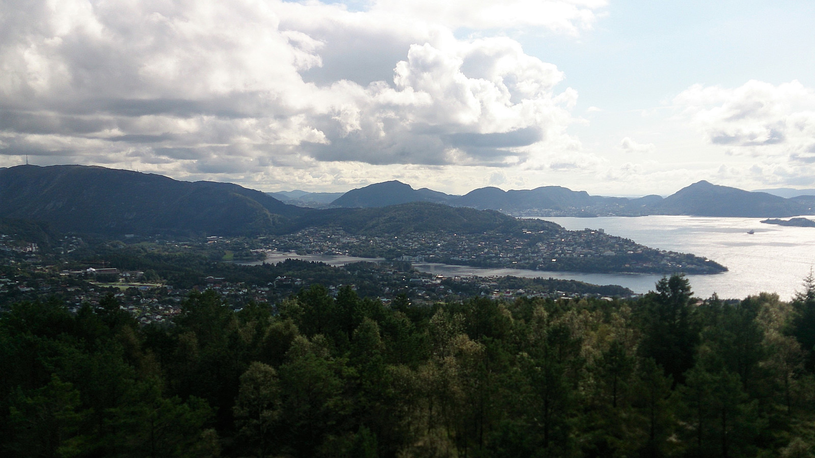
 Started from Melkeplassen and from there followed the standard trail towards Damsgårdsfjellet , with a quick stop at Olsokfjellet on the way. From the summit I continued north to the trig marker at Damsgårdsfjellet , then west to Holafjellet , before ending the hike by following the trail north to Holen for the bus back to the city center. Nice views from Olsokfjellet and Damsgårdsfjellet. The views from the trig marker at Damsgårdsfjellet were also worth a visit. Holafjellet was less interesting, with limited views from the summit, but the trail from Holafjellet down to Holen was an interesting alternative descent with nice views along the way.
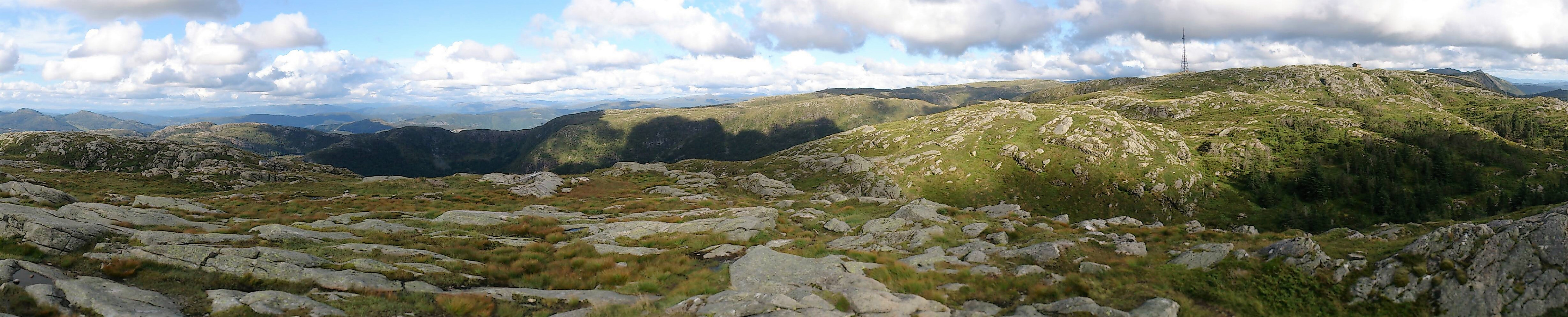
Sangoltshornet and Storaskjenet from Skogsskiftet terminal
- Fecha:
- 18.08.2017
- Tipo de excursión:
- Senderismo de montaña
- Duración:
- 4:17h
- Distancia:
- 15.0km
 Sangoltshornet
Started by taking the bus to Skogsskiftet terminal and walking southeast on Skogevegen and later Austre Sundvegen, before following Skogsvågvegen northeast until reaching Sangoltsvegen, which I then followed south until reaching the trailhead.
At the trailhead I had two options: either continue southeast (which was marked "Hødne") or turn west (which was unmarked). I chose the latter, assuming that this was the shortest route, but quickly started regretting my choice as the trail ended up being extremely wet, feeling more like a river than a trail at times.
Perhaps the trail would have been slightly better if it had not rained heavily the day before, but given the terrain I expect my experience was not unique. The trail did get better towards the summit of Sangoltshornet though.
The >>>
Sangoltshornet
Started by taking the bus to Skogsskiftet terminal and walking southeast on Skogevegen and later Austre Sundvegen, before following Skogsvågvegen northeast until reaching Sangoltsvegen, which I then followed south until reaching the trailhead.
At the trailhead I had two options: either continue southeast (which was marked "Hødne") or turn west (which was unmarked). I chose the latter, assuming that this was the shortest route, but quickly started regretting my choice as the trail ended up being extremely wet, feeling more like a river than a trail at times.
Perhaps the trail would have been slightly better if it had not rained heavily the day before, but given the terrain I expect my experience was not unique. The trail did get better towards the summit of Sangoltshornet though.
The >>>
Ørneberget and Kvitebjørnen
- Fecha:
- 16.08.2017
- Tipo de excursión:
- Senderismo de montaña
- Duración:
- 3:53h
- Distancia:
- 13.8km
 Started by walking up Lønborglien and then across Ørneberget (aka Eidsvågfjellet) on the way to Munkebotsvatnet, from where I followed the trail to Sandvikshytten and Dræggehytten before arriving at Kvitebjørnen with stops at Emanuel Mohns utsikt and Lavet .
From Lavet I took a rather wet shortcut down to Storevatnet and back down to Munkebotsvatnet, before concluding the hike with a visit to Furekammen on the way back to Lønborg.
Started by walking up Lønborglien and then across Ørneberget (aka Eidsvågfjellet) on the way to Munkebotsvatnet, from where I followed the trail to Sandvikshytten and Dræggehytten before arriving at Kvitebjørnen with stops at Emanuel Mohns utsikt and Lavet .
From Lavet I took a rather wet shortcut down to Storevatnet and back down to Munkebotsvatnet, before concluding the hike with a visit to Furekammen on the way back to Lønborg.
Hellen Festning
- Fecha:
- 13.08.2017
- Tipo de excursión:
- Senderismo
- Duración:
- 0:43h
- Distancia:
- 3.6km
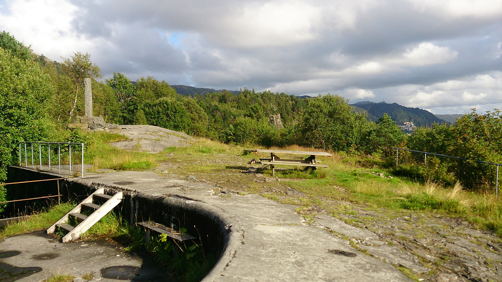 Short local hike across Hellen Festning.
