Arkiv - dato
Arkiv - aktivitet
-
Annen tur (3)
- Kajakkpadling (3)
- Fottur (1844)
-
Kjøretur (9)
- Biltur (9)
-
Skitur (113)
- Fjellskitur (67)
- Langrennstur (46)
-
Sykkeltur (108)
- Blandet sykling (25)
- Gatesykling (83)
Lister jeg samler etter
-
Utvalgte topper og turmål i Bergen
(343/344)
 99%
99% -
Alle topper i Bergen
(390/397)
98%
-
Voss ≥ 100m pf.
(96/98)
97%
-
Opptur Hordaland
(144/159)
90%
-
Stasjoner på Bergensbanen
(31/40)
77%
-
Ulvik ≥ 100m pf.
(28/38)
73%
-
Hordaland ≥ 100m pf.
(617/863)
71%
-
Mjølfjell PF > 100m
(21/31)
67%
-
Jondal ≥ 100m pf.
(15/23)
65%
-
Sunnhordland PF >= 100m
(105/186)
56%
-
Dagsturhyttene i Vestland
(33/61)
54%
-
Hordaland: Hardanger PF>=100m
(189/359)
52%
-
DNT-hytter i Hordaland
(23/45)
51%
-
Kvinnherad ≥ 100m pf.
(40/79)
50%
-
Sogndal ≥ 100m pf.
(23/81)
28%
-
Eidfjord ≥ 100m pf.
(10/42)
23%
-
Vik i Sogn ≥ 100m pf.
(10/46)
21%
-
Gulen ≥ 100m pf.
(10/54)
18%
-
DNT-hytter i Sogn og Fjordane
(8/47)
17%
-
Sogn - Sør for Sognefjorden PF>=100m
(26/159)
16%

Sandviksbatteriet and Hellemyrstien
- Dato:
- 28.12.2020
- Turtype:
- Fottur
- Turlengde:
- 1:51t
- Distanse:
- 10,0km
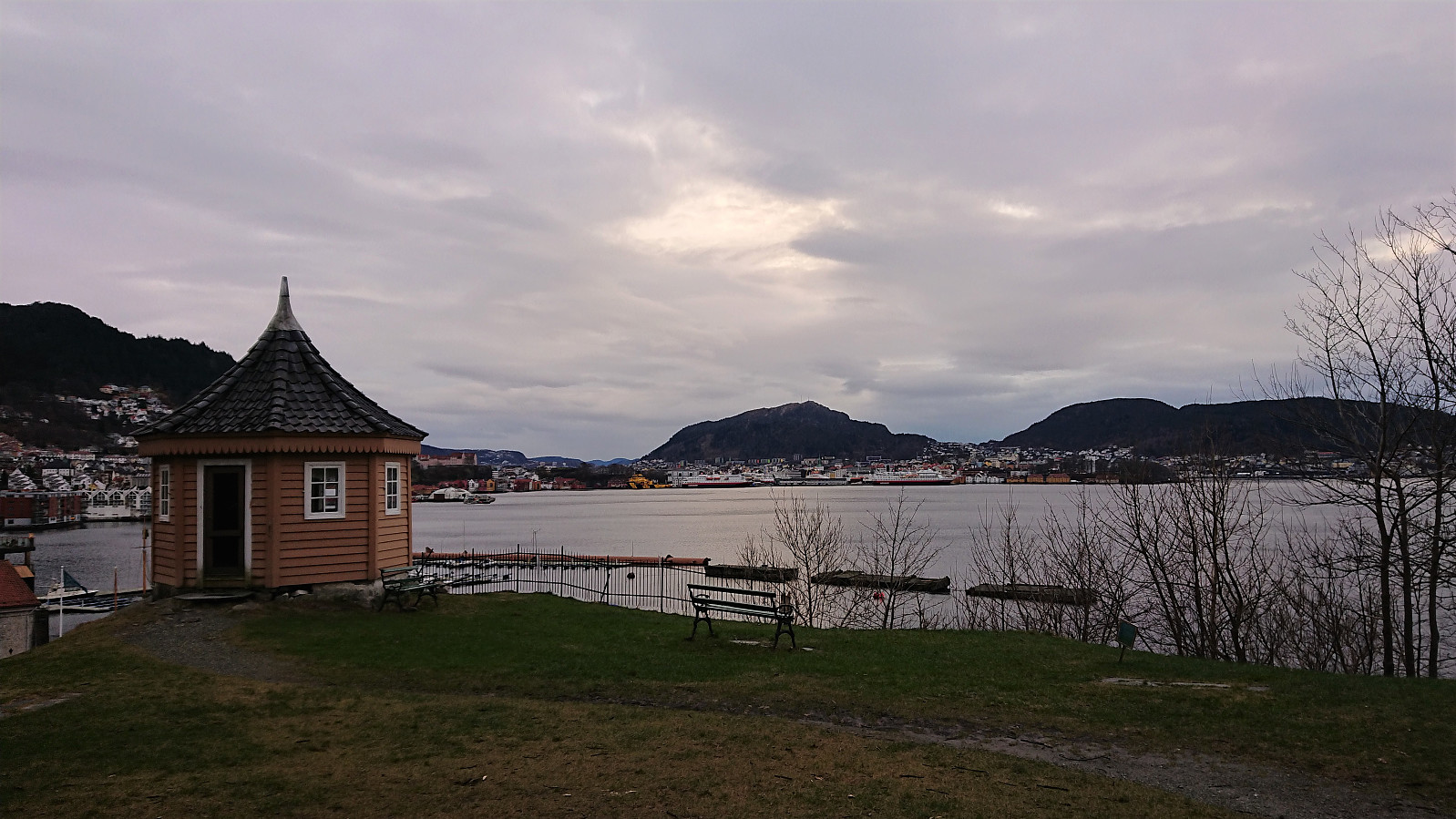 Local afternoon hike.
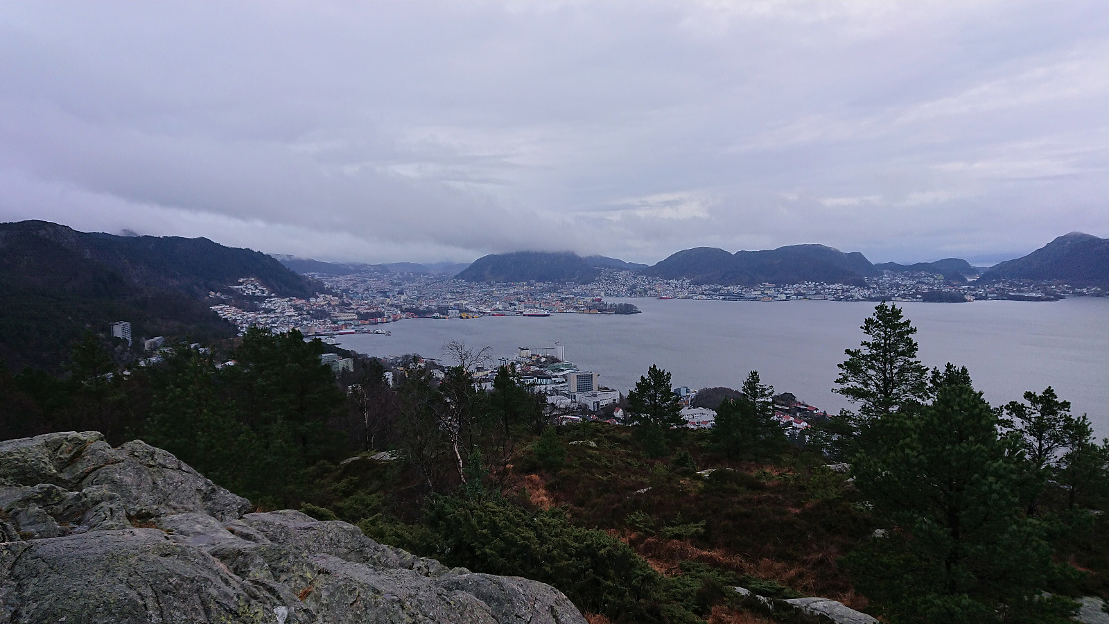
Hellen festning and Furukammen
- Dato:
- 27.12.2020
- Turtype:
- Fottur
- Turlengde:
- 2:33t
- Distanse:
- 3,9km
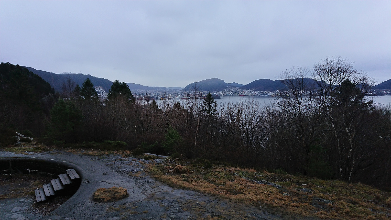 Local hike in the rain.
Ravneberg, Sandvikshytten and Ankerhytten
- Dato:
- 25.12.2020
- Turtype:
- Fjelltur
- Turlengde:
- 3:12t
- Distanse:
- 9,1km
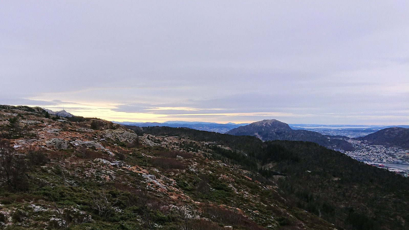 Local hike in between the Christmas family gatherings.
Hellen festning and Furukammen
- Dato:
- 22.12.2020
- Turtype:
- Fottur
- Turlengde:
- 2:18t
- Distanse:
- 4,0km
 Local hike just after sunset.
Across Hellen festning
- Dato:
- 20.12.2020
- Turtype:
- Fottur
- Turlengde:
- 0:27t
- Distanse:
- 2,1km
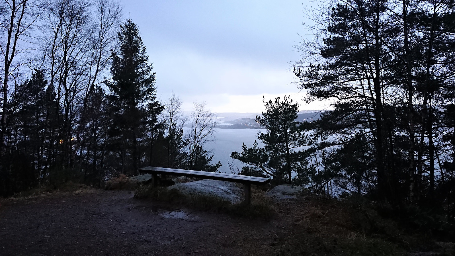
 Short local hike in strong winds and increasing amounts of rain.
Ørneberget and Rognåsen
- Dato:
- 19.12.2020
- Turtype:
- Fjelltur
- Turlengde:
- 1:33t
- Distanse:
- 6,8km
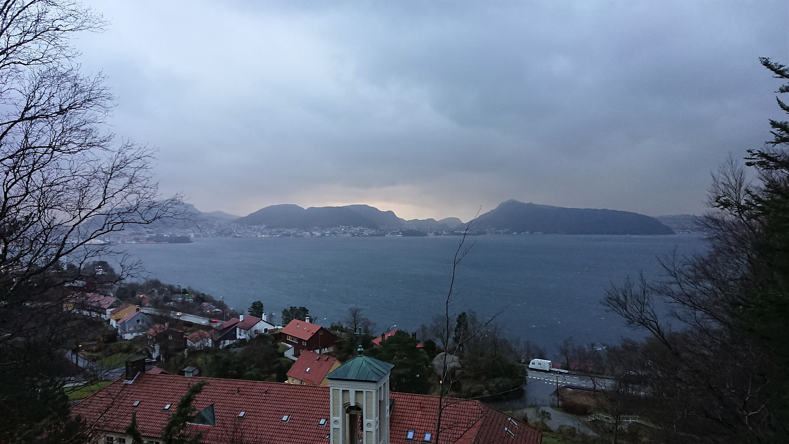
 Local hike on a gray and windy Saturday.
Ørneberget and Hellen festning
- Dato:
- 16.12.2020
- Turtype:
- Fjelltur
- Turlengde:
- 0:54t
- Distanse:
- 4,0km
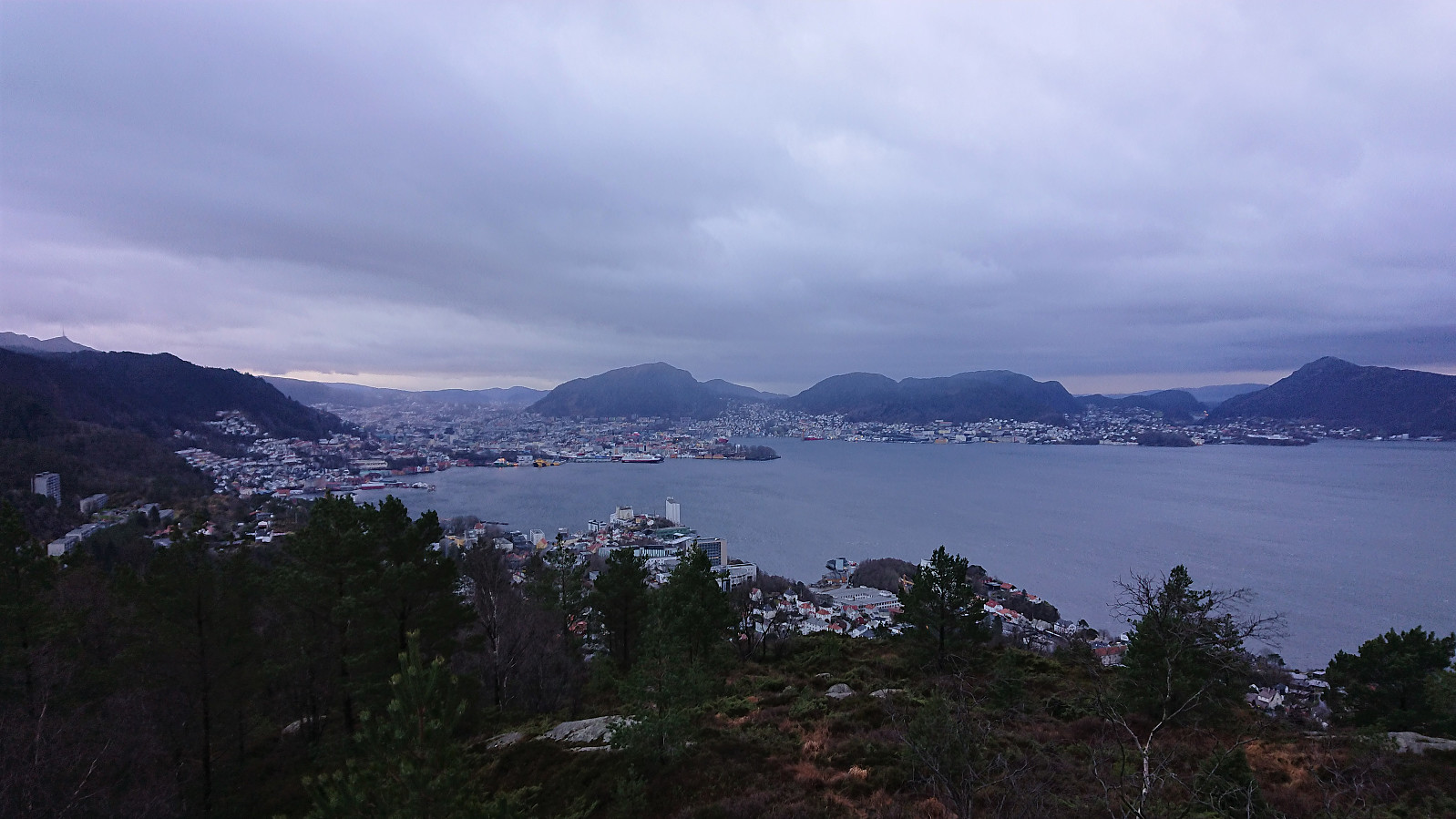
 Short local hike before it got dark.
Across Hellen festning
- Dato:
- 15.12.2020
- Turtype:
- Fottur
- Turlengde:
- 0:46t
- Distanse:
- 3,1km
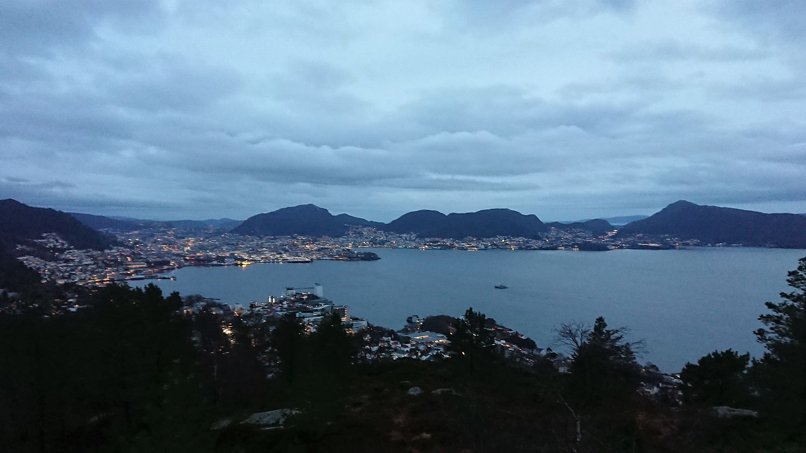
 Short local evening hike.
Slottet i Modalen
- Dato:
- 13.12.2020
- Turtype:
- Fjelltur
- Turlengde:
- 1:56t
- Distanse:
- 2,8km
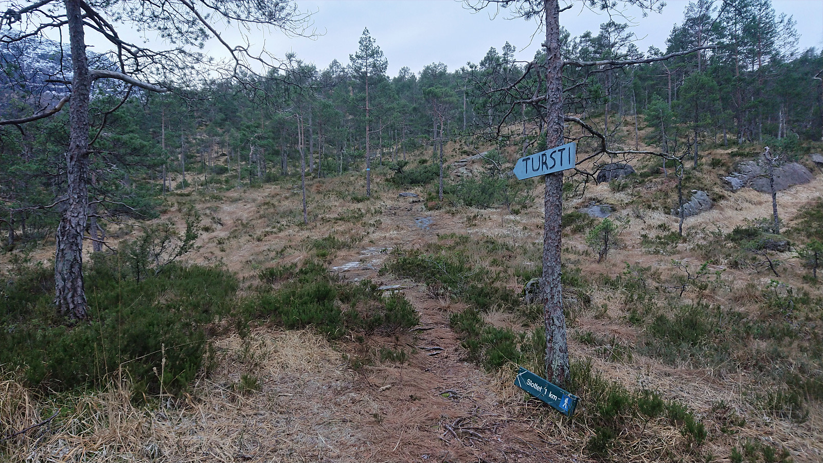 We parked next to the road at a small gravel-covered area seemingly set up to gather and sort sheep. Given that it was mid-December we assumed that the area was not going to be used any time soon. Next, the marked trailhead was easily located and we started on the trail marked with blue paint. The trail was today a bit wet and slippery, but was otherwise straightforward to follow and we soon arrived at the summit, which we had also gotten a preview of just before the final ascent. Excellent views from the summit, although one ought to be careful given the close to 200 meters vertical drop down to the main road.
For the return we decided to go for the alternative route via Hestabotn. As the sign at the trailhead indicated this trail had parts that were slightly rougher, but it was (generally) >>>
We parked next to the road at a small gravel-covered area seemingly set up to gather and sort sheep. Given that it was mid-December we assumed that the area was not going to be used any time soon. Next, the marked trailhead was easily located and we started on the trail marked with blue paint. The trail was today a bit wet and slippery, but was otherwise straightforward to follow and we soon arrived at the summit, which we had also gotten a preview of just before the final ascent. Excellent views from the summit, although one ought to be careful given the close to 200 meters vertical drop down to the main road.
For the return we decided to go for the alternative route via Hestabotn. As the sign at the trailhead indicated this trail had parts that were slightly rougher, but it was (generally) >>>
